


This is the 2026-27 print of the NCERT Class 10 Geography book PDF Chapter 1 Resources and Development, the opening chapter of Contemporary India II.
Download the full 12-page chapter free below, then use the page-by-page map to jump to soil types, land use, or soil conservation.
- CBSE Weightage: 5 to 6 marks per board paper, from Unit 1 Resources and Development.
- Question Mix: 1 MCQ, one 3-mark answer, and one 5-mark map or long answer in most papers.
- Most Tested: classification of soils, soil erosion types, and conservation methods.
This page is curated by subject experts from the 2026-27 NCERT print and checked against recent CBSE Class 10 papers.
How the NCERT Class 10 Geography Book PDF Chapter 1 Helps You Prepare
Resources and Development is the first chapter in Contemporary India II. It carries a steady 5 to 6 marks and sets up the land, soil, and conservation ideas used later. Here is how this page helps.
- 2026-27 NCERT Match: Section, figure, and exercise counts match the current print.
- Page-Band Map: Every topic is tagged with its page range in the PDF.
- Soil Focus: The six soil types sit in one comparison table for fast recall.
What the Resources and Development Class 10 PDF Contains
The chapter moves from defining a resource to land use, then soils, and ends with soil conservation. The table below lists each part with its page band in the NCERT PDF.
| Topic | Page Range | What it Covers |
|---|---|---|
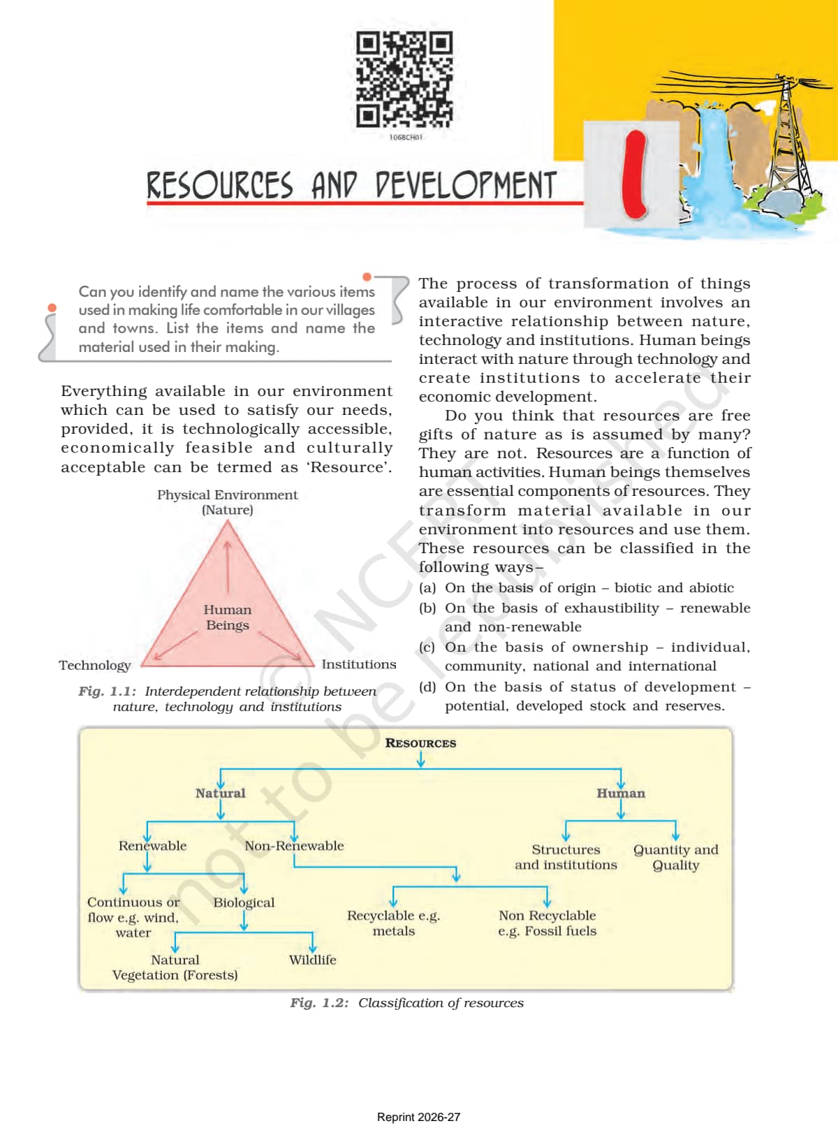
| Resources and their Classification | 1 | Resource definition; classification by origin, exhaustibility, ownership, status. |
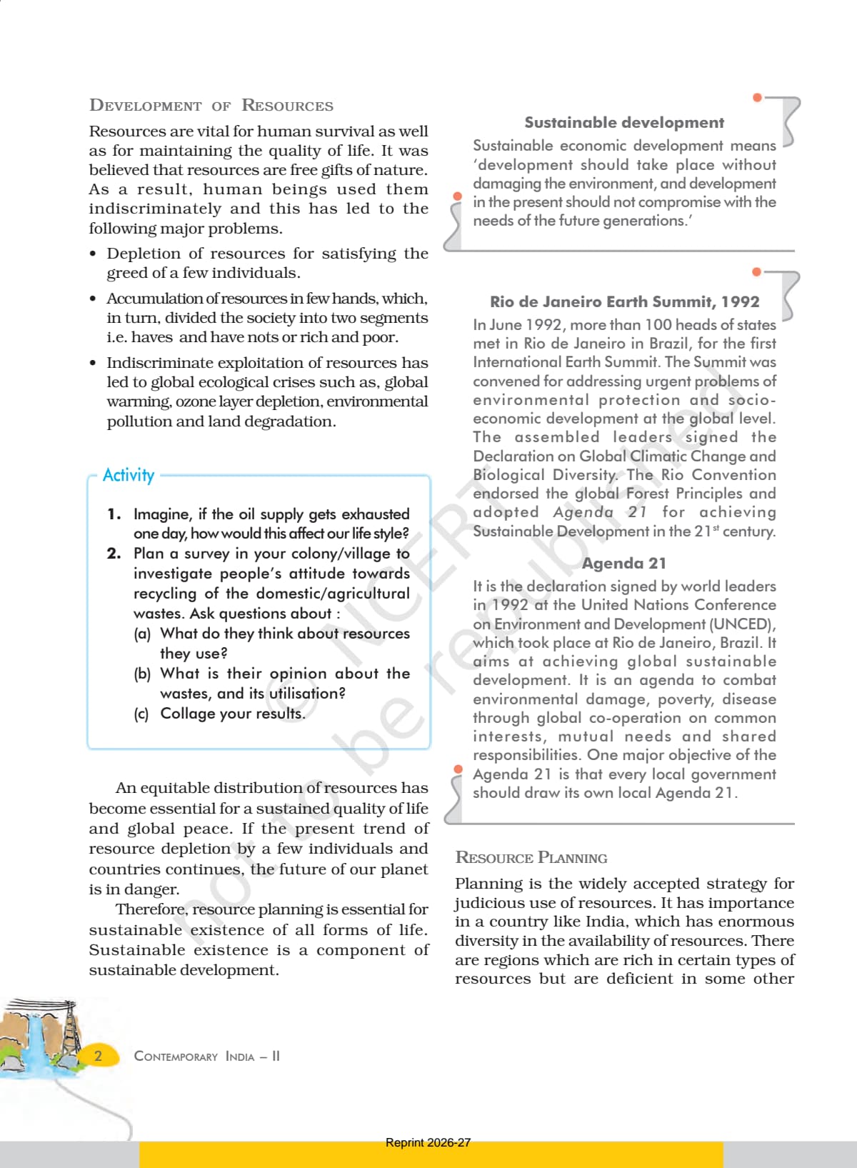
| Development of Resources | 2 | Over-use, haves and have-nots, sustainable development, Rio 1992, Agenda 21. |
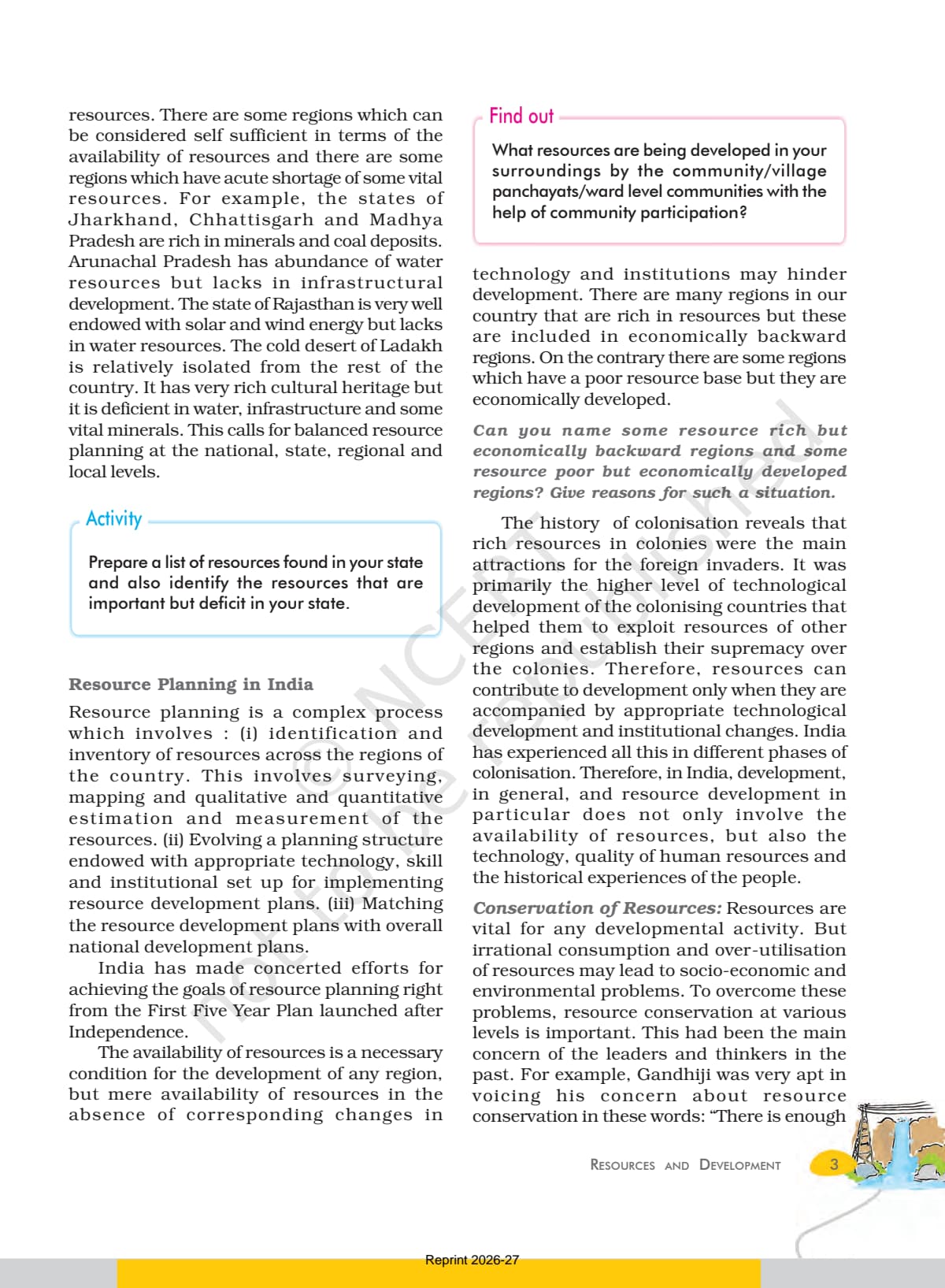
| Resource Planning in India | 2-3 | Why uneven spread needs planning; three-stage process; Gandhiji's view. |
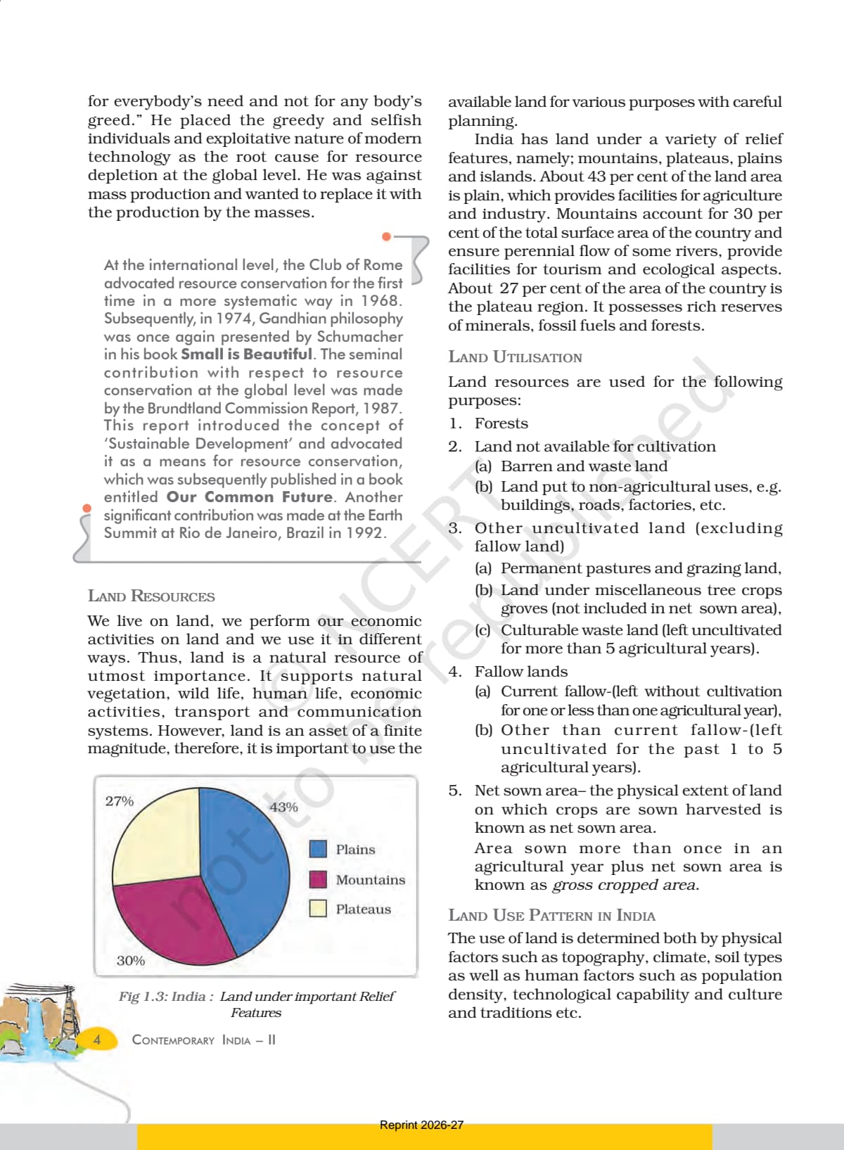
| Land Resources and Land Use | 4-6 | Relief (43% plains, 30% mountains, 27% plateaus); land use; degradation. |
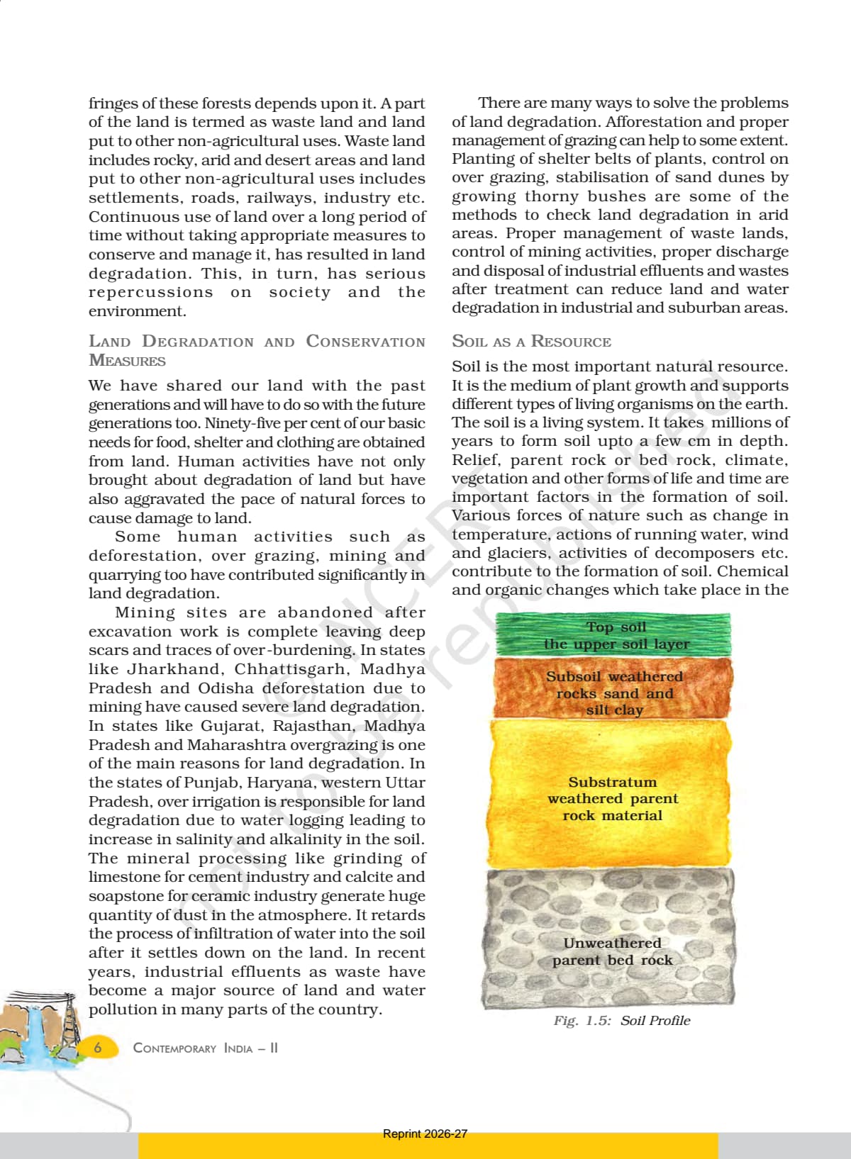
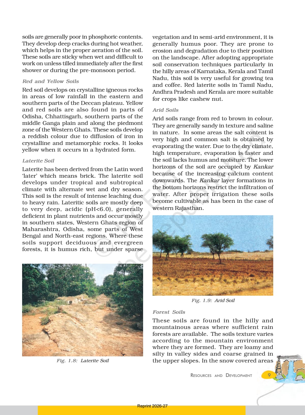
| Soil as a Resource | 6-9 | Soil profile (Fig 1.5); alluvial, black, red and yellow, laterite, arid, forest. |
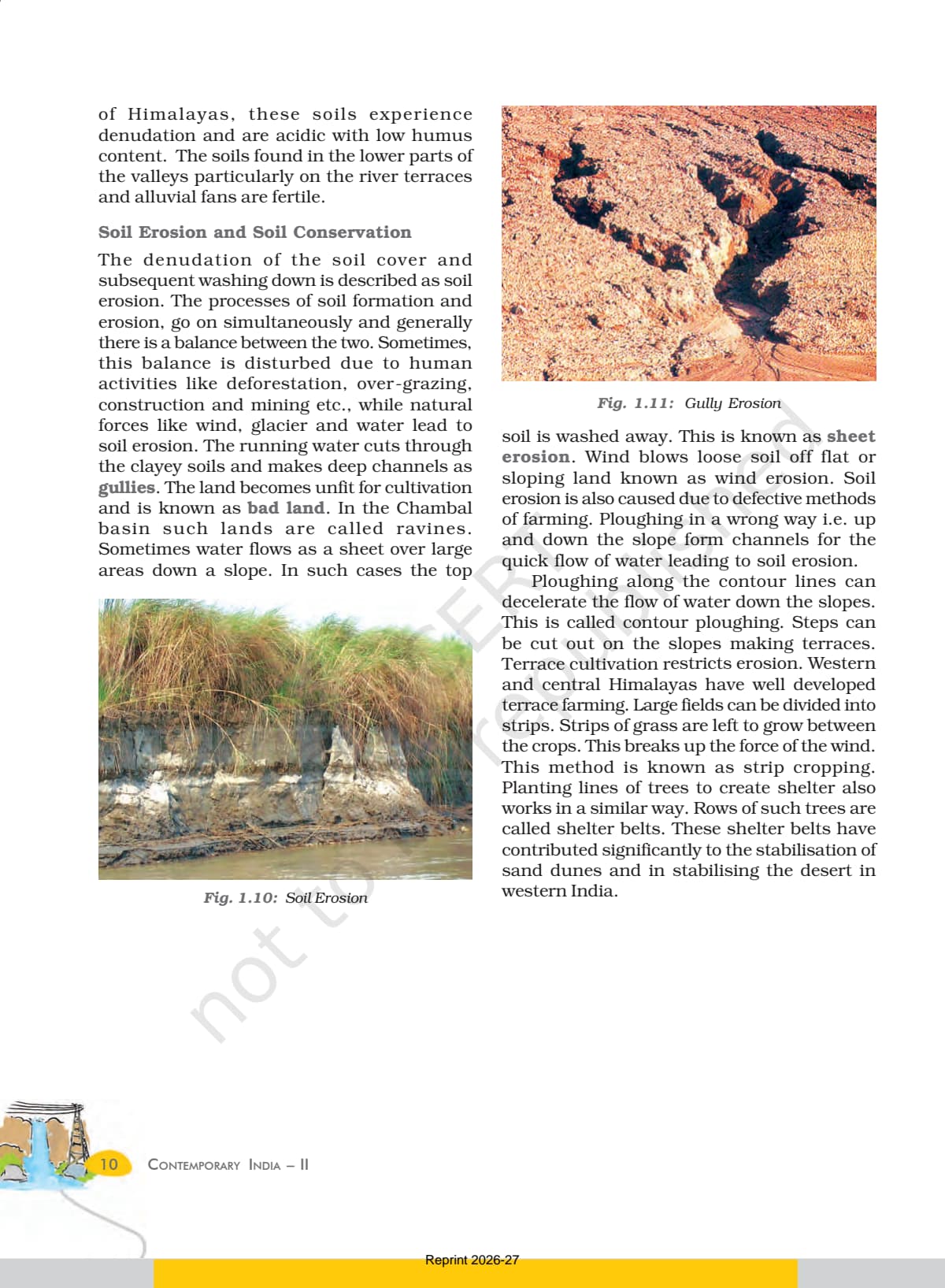
| Soil Erosion and Conservation | 10-11 | Gully, sheet, wind erosion; contour ploughing, terracing, strip cropping, shelter belts. |
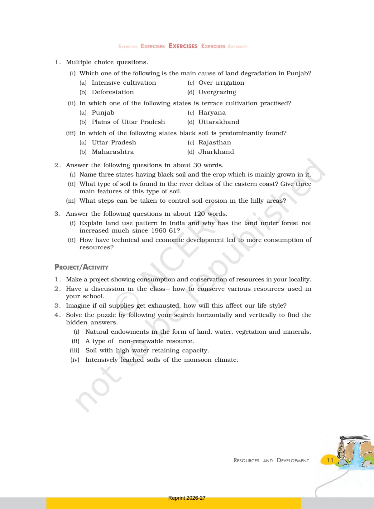
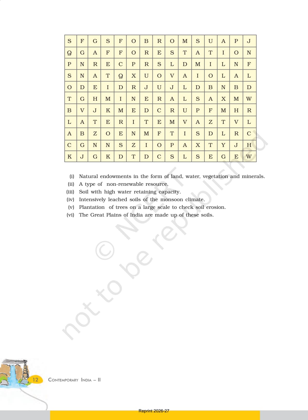
| Exercises and Project | 11-12 | MCQs, 30-word and 120-word questions, project work. |
Soil types and conservation carry the heaviest exam weight. Treat pages 6 to 11 as primary and resource planning as a supporting read.
Resources and Development Explained for Class 10 Boards
Source: Magnet Brains on YouTube
Resource Classification in NCERT Class 10 Geography Chapter 1
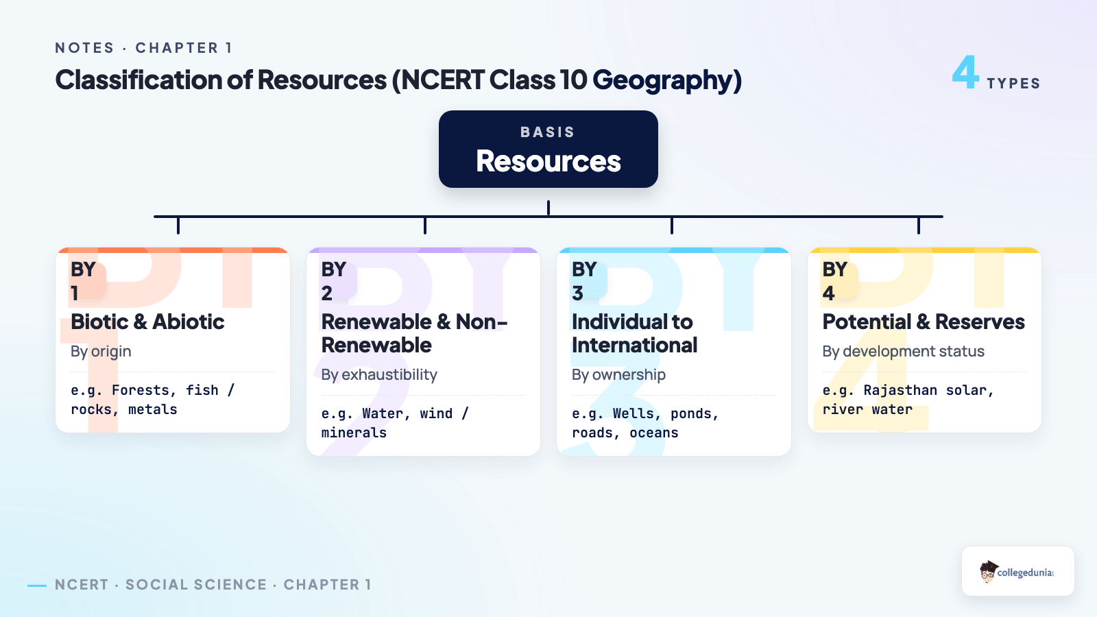
NCERT sorts all resources into four groups. This classification is the source of most 1-mark and 3-mark questions, so learn the four bases and one example each.
- On the basis of origin: biotic (forests, fish) and abiotic (rocks, metals).
- On the basis of exhaustibility: renewable (water, wind, forests) and non-renewable (minerals, fossil fuels).
- On the basis of ownership: individual, community, national, and international.
- On the basis of status of development: potential, developed stock, and reserves.
Resources are not free gifts of nature. They become useful only when people transform them using technology, and institutions manage the process.
Sustainable Development and Resource Planning in India
Over-use of resources has caused global warming, ozone depletion, and land degradation. The fix is sustainable development: using resources without harming the needs of future generations.
- Rio Earth Summit 1992: over 100 heads of state met in Rio de Janeiro and adopted Agenda 21.
- Agenda 21: a global declaration against environmental damage, poverty, and disease; each local government should draw its own version.
- Brundtland Report 1987: Our Common Future first defined sustainable development.
Planning matters because resources are spread unevenly. Jharkhand, Chhattisgarh, and Madhya Pradesh are rich in minerals and coal, while Rajasthan has solar and wind energy but lacks water. A common 3-mark question asks you to name a resource-rich but backward region and explain the gap.
Land Resources and Land Use Pattern in India
Land is a finite resource that supports farming, forests, industry, and transport. The chapter splits India's relief into three shares. Learn the percentages, as they appear as an MCQ.
| Relief Feature | Share of Land Area | Use |
|---|---|---|
| Plains | 43 per cent | Provide facilities for agriculture and industry. |
| Mountains | 30 per cent | Ensure perennial river flow, tourism, and ecological balance. |
| Plateaus | 27 per cent | Hold rich reserves of minerals, fossil fuels, and forests. |
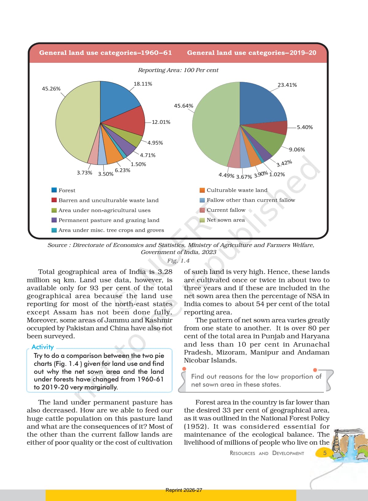
India's total geographical area is 3.28 million sq km, but land-use data covers only about 93 per cent of it, as reporting for most north-eastern states is incomplete. Forest cover stays far below the 33 per cent target of the National Forest Policy 1952. Land degradation comes from deforestation, over-grazing, mining, and over-irrigation.
Six Types of Soil in Class 10 Geography Chapter 1
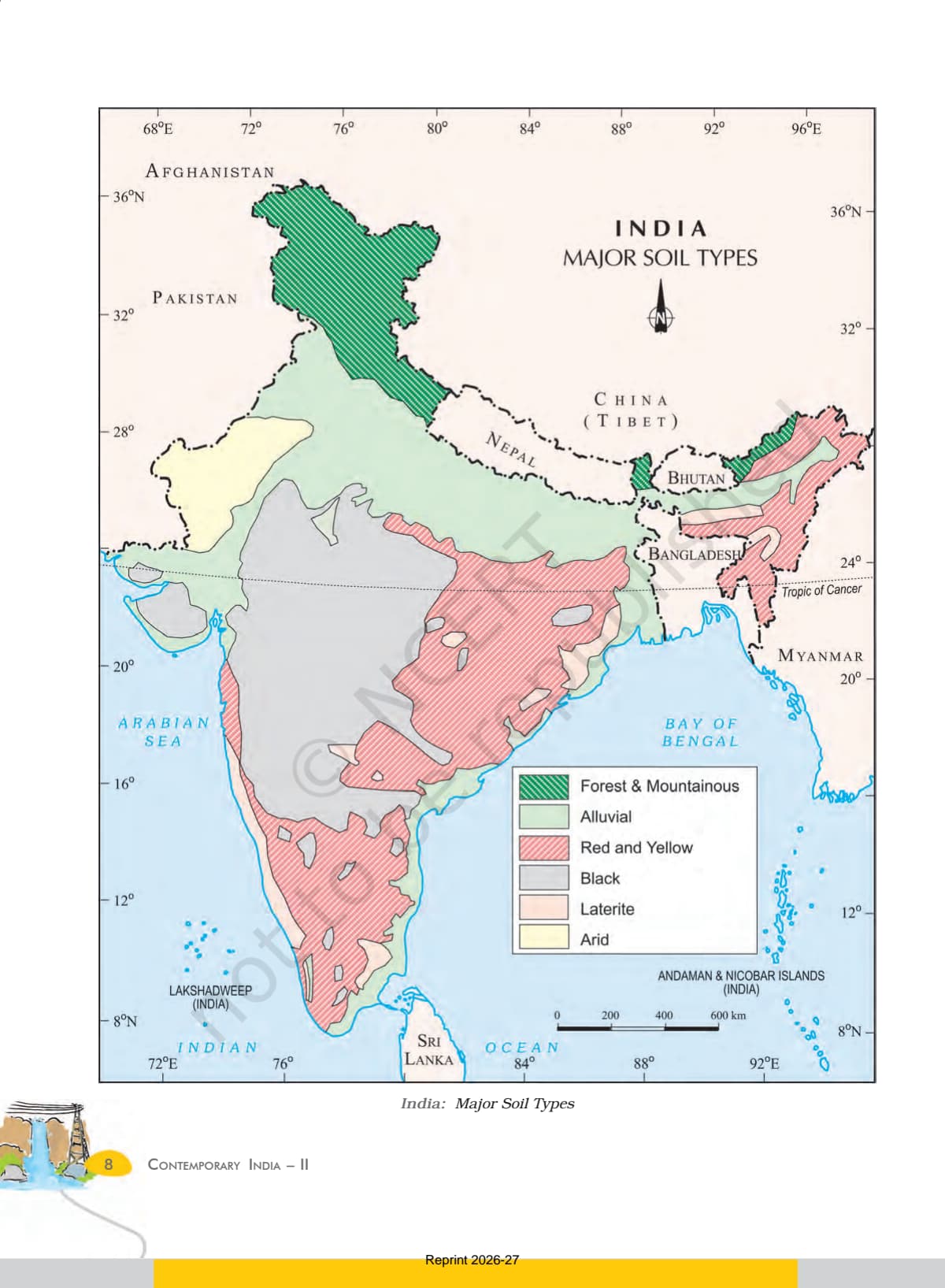
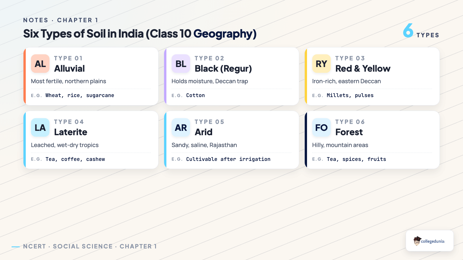
Soil is the most important natural resource, as it is the medium of plant growth. NCERT classifies Indian soils into six types by colour, texture, age, and chemistry. This table is the most exam-relevant block in the chapter.
| Soil Type | Where Found | Key Feature |
|---|---|---|
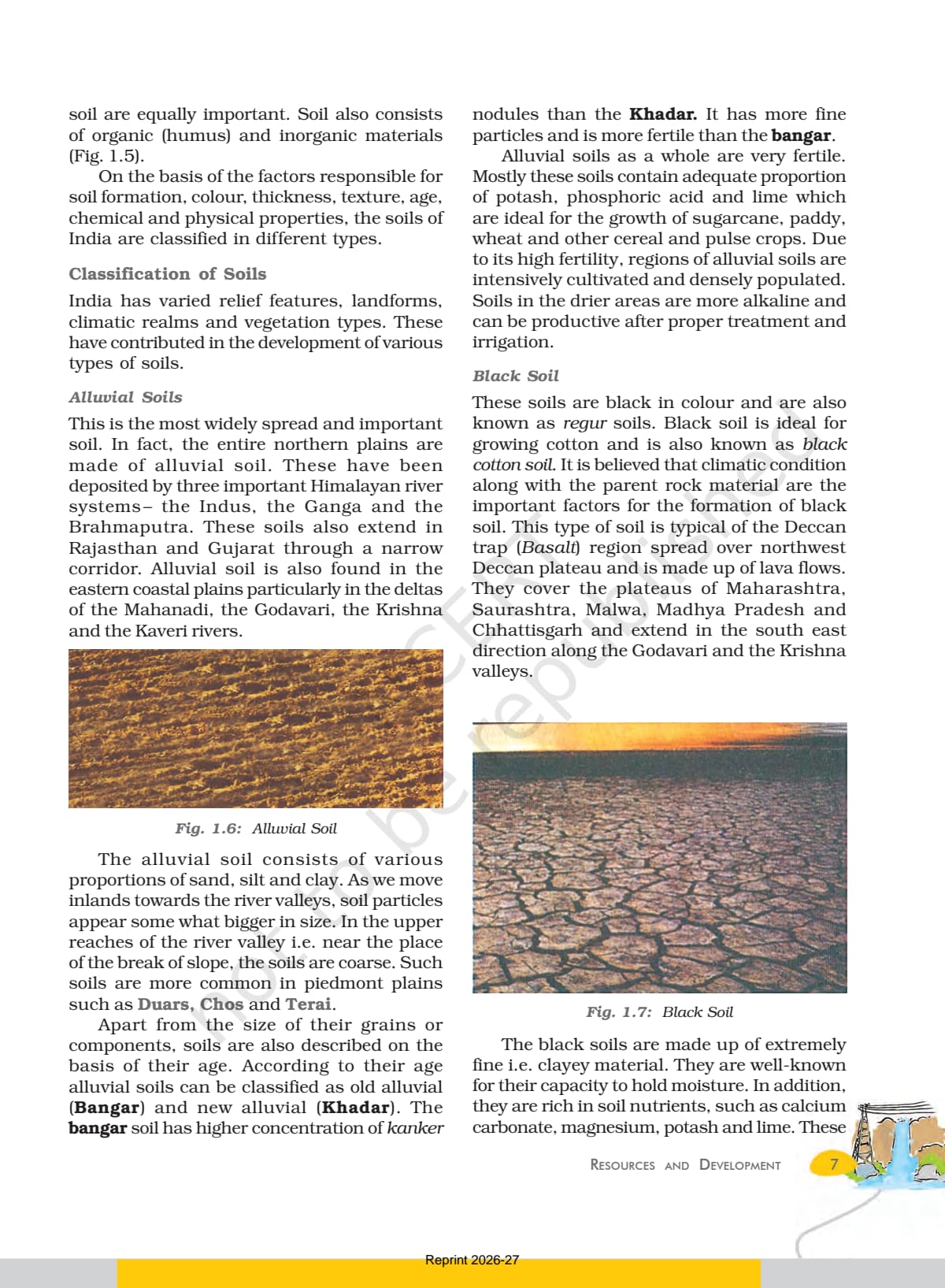
| Alluvial | Northern plains, eastern coastal deltas | Most widespread and fertile; Bangar and Khadar types; rich in potash and lime. |
| Black (Regur) | Deccan trap, Maharashtra, Gujarat, MP | Ideal for cotton; holds moisture; rich in calcium carbonate. |
| Red and Yellow | Eastern and southern Deccan plateau | Reddish from iron; turns yellow when hydrated. |
| Laterite | Karnataka, Kerala, Tamil Nadu, Odisha | Wet-and-dry tropics; good for tea, coffee, cashew. |
| Arid | Western Rajasthan | Sandy, saline; Kankar layer below; cultivable after irrigation. |
| Forest | Hilly and mountainous areas | Loamy in valleys, coarse on slopes; acidic in snow areas. |
A frequent board question asks for three black-soil states and the crop. Answer: Maharashtra, Gujarat, and Madhya Pradesh, with cotton.
Soil Erosion and Soil Conservation Methods Explained
Soil erosion is the washing away of the soil cover faster than it forms. The chapter names three erosion types and several conservation methods, a guaranteed 5-mark pairing in the hilly-areas context.
- Gully erosion: running water cuts deep channels; in the Chambal basin these are called ravines.
- Sheet erosion: water flows as a sheet over a slope and removes the top soil evenly.
- Wind erosion: wind blows loose soil off flat or sloping dry land.
Methods are tied to the land type. For hilly areas: contour ploughing (along contour lines), terrace farming (steps on slopes), and strip cropping (grass strips between crops). For dry western India, shelter belts of trees have stabilised sand dunes.
How to Read the Resources and Development Chapter for Boards
The chapter is short at 12 pages, so one focused session covers it. Use a three-pass routine: read, table, then practise.
- Pass 1: Read all sections once and mark every defined term (resource, Bangar, Khadar, Regur, ravines).
- Pass 2: Build two tables from memory, one for the six soils and one for the three erosion types with conservation methods.
- Pass 3: Solve the MCQs and both 30-word questions on page 11, then attempt the two 120-word answers.
Student Feedback
In a Collegedunia poll of more than 14,000 Class 10 students before the 2026 boards, students rated the soil-types table as the single hardest part of this chapter to memorise. Most said making one comparison table fixed the problem in a day.
Source: Collegedunia Class 10 board-prep poll, 2026.
NCERT Class 10 Geography Chapter 1 Important Questions and Exercises
The official exercises on pages 11 and 12 mirror the CBSE question pattern. Solving them once is enough practice for each question type.
- MCQs: main cause of land degradation in Punjab; states with terrace cultivation; states with black soil.
- 30-word answers: three black-soil states and the crop; soil of eastern coast deltas; erosion control in hilly areas.
- 120-word answers: India's land use pattern and why forest land has not grown since 1960-61.
Other Resources for This Chapter
Pair this with the other Class 10 Geography resources for Resources and Development, all linked below.
| Resource | Open |
|---|---|
| NCERT Solutions | Resources and Development NCERT Solutions |
| Notes | Resources and Development Notes |
| Formula Sheet | Resources and Development Formula Sheet |
| Handwritten Notes | Resources and Development Handwritten Notes |
| NCERT Book PDF | Resources and Development NCERT Book PDF |
NCERT Class 10 Geography Book PDF: All Chapters
Other Class 10 Geography NCERT book PDFs to download free:
| Chapter | Resource |
|---|---|
| Chapter 2 | Forest and Wildlife Resources NCERT PDF |
| Chapter 3 | Water Resources NCERT PDF |
| Chapter 4 | Agriculture NCERT PDF |
| Chapter 5 | Minerals and Energy Resources NCERT PDF |
| Chapter 6 | Manufacturing Industries NCERT PDF |
| Chapter 7 | Lifelines of National Economy NCERT PDF |
NCERT Class 10 Geography Book PDF Chapter 1 Resources and Development - Frequently Asked Questions
Ques. Where can I download the NCERT Class 10 Geography book PDF for Chapter 1 Resources and Development for free?
Ans. You can download the Resources and Development NCERT PDF directly from this page. The full 12-page chapter from the 2026-27 NCERT print is free to download.
Ques. Is this Resources and Development PDF aligned with the 2026-27 CBSE syllabus?
Ans. Yes. The page reflects the current 2026-27 Class 10 Geography (Contemporary India II) syllabus. It keeps all sections, the six soil types, and the soil conservation methods.
Ques. How many types of soil are there in Class 10 Geography Chapter 1?
Ans. NCERT lists six soil types: alluvial, black (regur), red and yellow, laterite, arid, and forest. Each is sorted by colour, texture, age, and chemical properties.
Ques. What is the land use pattern of India in this chapter?
Ans. About 43 per cent of India's land is plains, 30 per cent is mountains, and 27 per cent is plateaus. Total geographical area is 3.28 million sq km, but land-use data covers only about 93 per cent of it.
Ques. What are the main methods of soil conservation in hilly areas?
Ans. For hilly areas the three main methods are contour ploughing, terrace farming, and strip cropping. In dry western India, shelter belts of trees help stabilise sand dunes.
Ques. How many marks does Resources and Development carry in the Class 10 board exam?
Ans. The chapter usually carries 5 to 6 marks in the CBSE Class 10 Social Science paper. Most papers ask one MCQ, one 3-mark answer, and one 5-mark long or map-based answer from it.
Ques. What is sustainable development as defined in Chapter 1?
Ans. Sustainable development means development should take place without damaging the environment, and present development should not compromise the needs of future generations. The idea was adopted at the Rio Earth Summit in 1992 through Agenda 21.



Comments