




The NCERT Solutions for Class 6 Social Science Chapter 1 Locating Places on the Earth answer the textbook questions for the 2026-27 session. The answers explain maps, directions, scale, latitude, longitude and time in simple steps.
- Core skills: reading maps, using coordinates and finding directions.
- Answer support: clear reasons, examples and map-based clues.
- Revision use: quick checks for key terms and common mix-ups.
Each answer follows the 2026-27 NCERT chapter and uses language suited to Class 6 students.
Locating Places on the Earth Concepts Used in the Solutions
A map shows places on a flat surface. A globe shows Earth in its round form. The solved answers help you choose the right tool and explain what its symbols mean.
| Concept | What to remember | How it helps |
|---|---|---|
| Cardinal directions | North, south, east and west | Describe the position of one place from another |
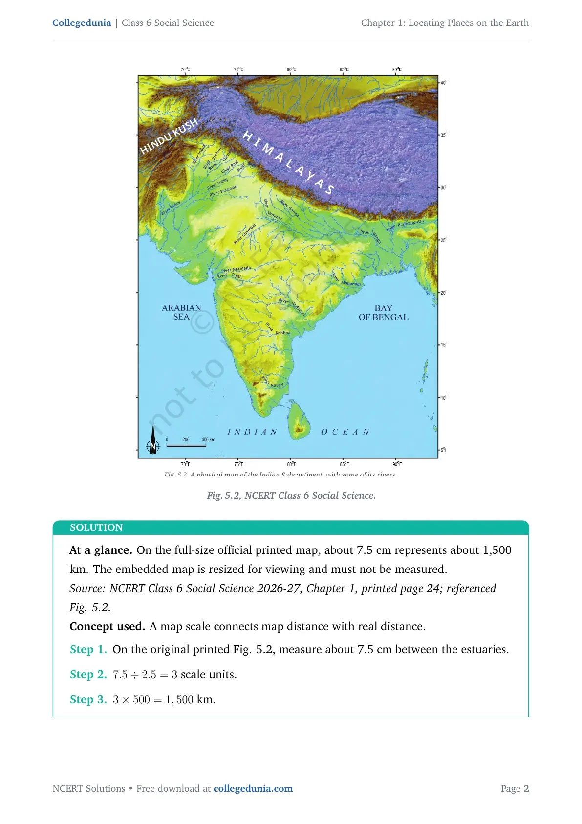
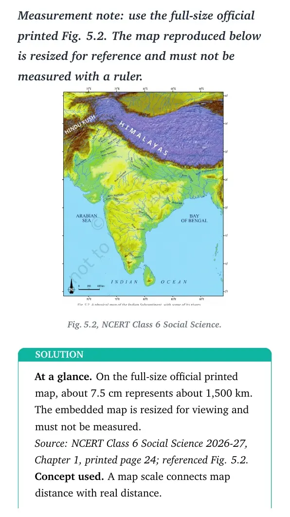
| Map scale | Connects map distance with ground distance | Find the actual distance between places |
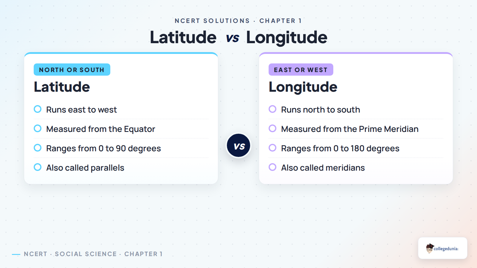
| Latitude | Measures position north or south of the Equator | Find a place across horizontal lines |
| Longitude | Measures position east or west of the Prime Meridian | Find a place across vertical lines |
| Coordinates | A latitude and longitude used together | Give a place an exact global position |
Map Components Explained for Class 6
Source: Magnet Brains on YouTube
How to Answer Map and Coordinate Questions Correctly
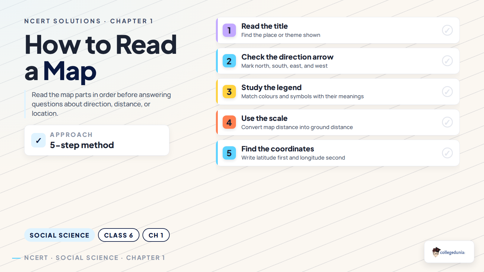
Start by reading the title, direction arrow, scale and legend. For coordinates, write latitude first and longitude second. Include the direction letters, such as N, S, E or W.
- Check whether the question asks for direction, distance or exact location.
- Use the map legend before naming any colour or symbol.
- Read latitude from the Equator and longitude from the Prime Meridian.
- Write a short reason when comparing a map with a globe.
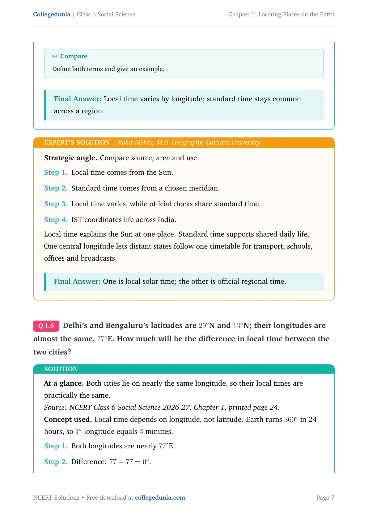
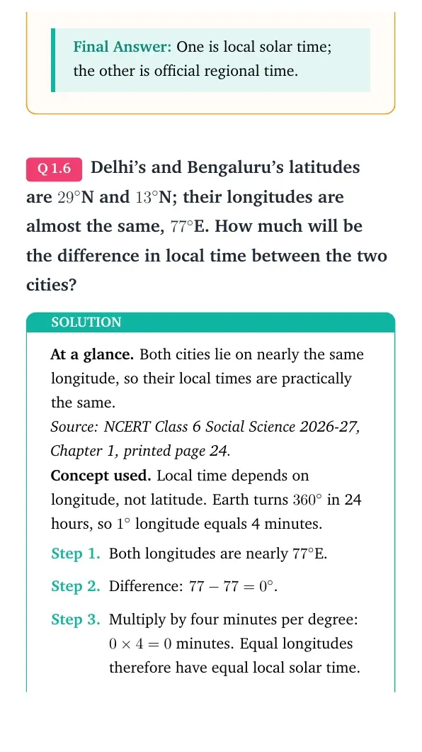
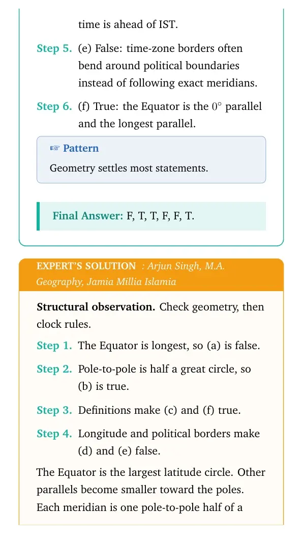
A location needs both latitude and longitude. One coordinate alone points to a whole line, not one place.
Important Locating Places on the Earth Answer Points
Several textbook questions test small but important differences. The table gives a quick answer frame for the most common ones.
| Question idea | Key answer point |
|---|---|
| Map or globe | A globe shows Earth more realistically, while a map can show more detail. |
| Political or physical map | Political maps show boundaries; physical maps show landforms and water bodies. |
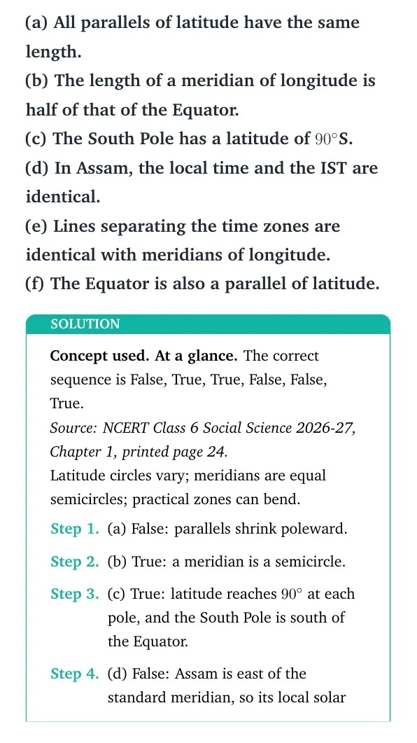
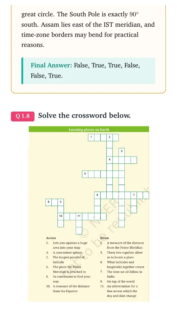
| Equator or Prime Meridian | The Equator is 0 degrees latitude; the Prime Meridian is 0 degrees longitude. |
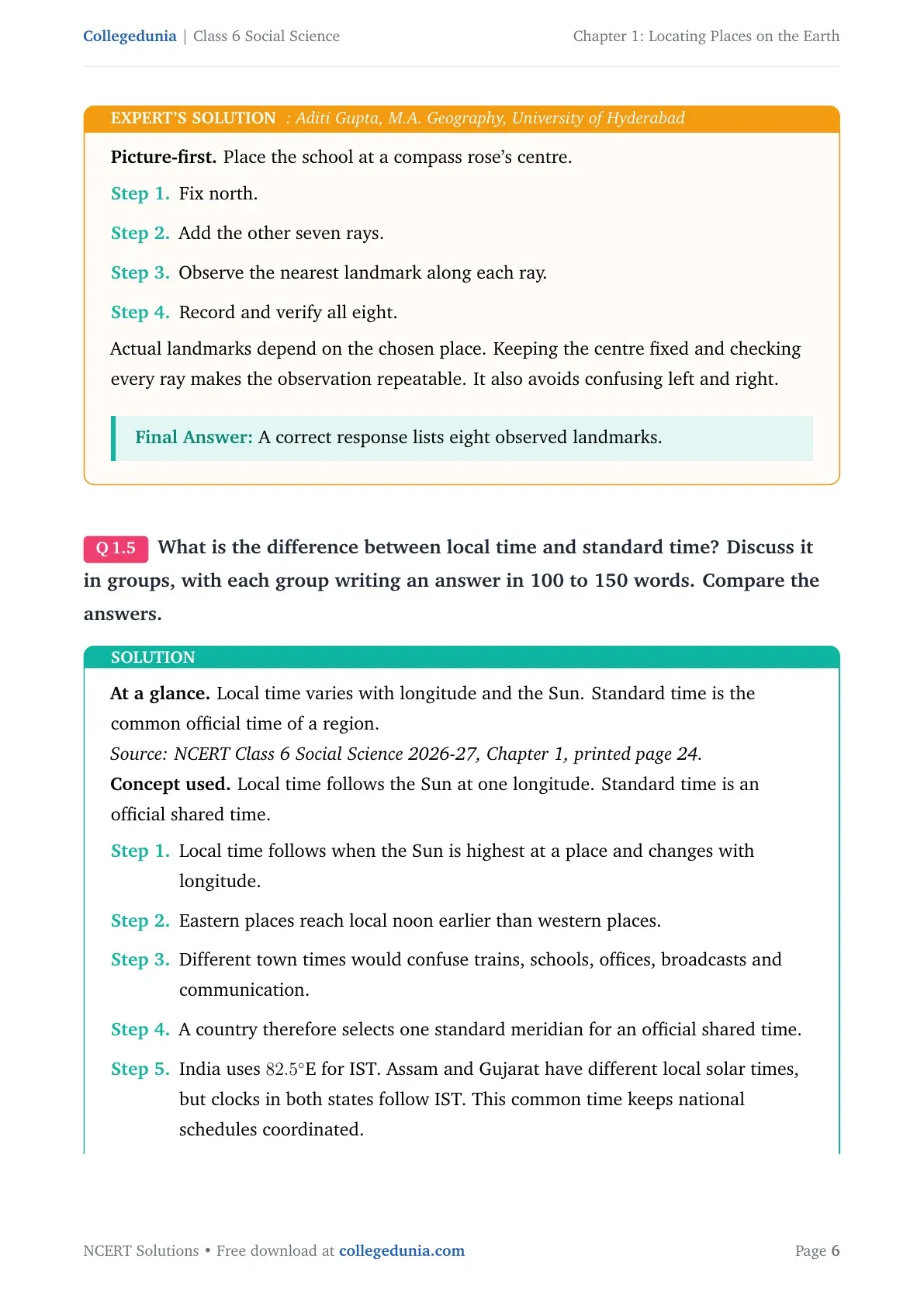
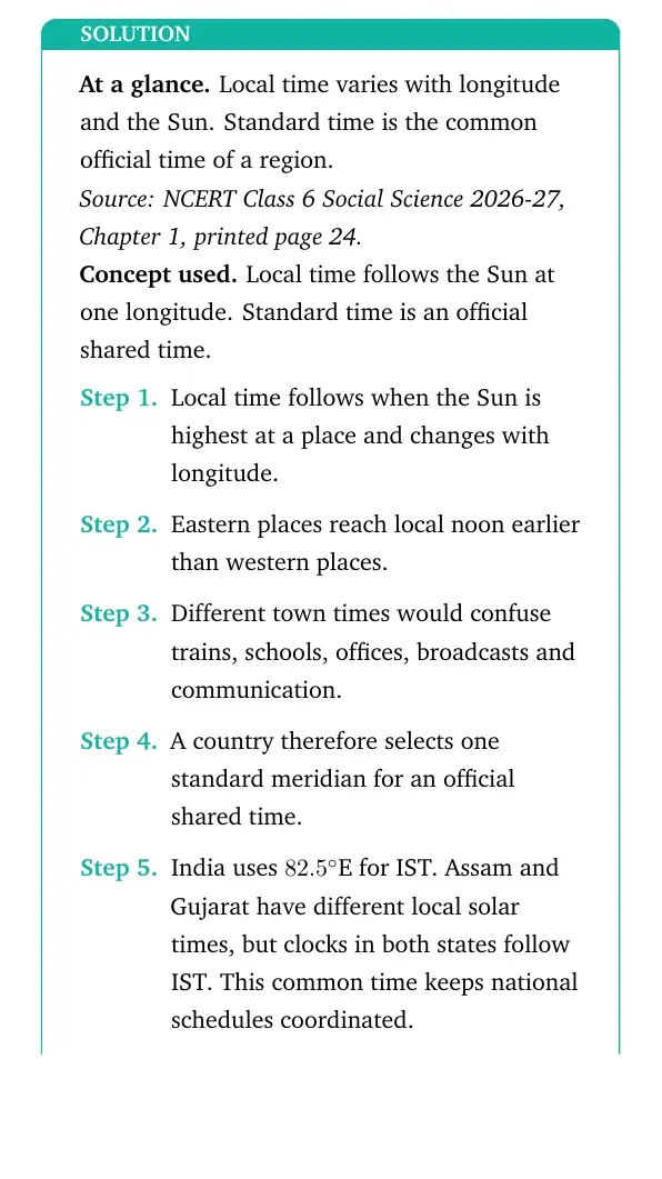
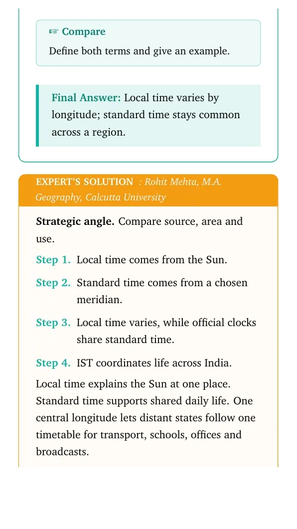
| Local time | Places at different longitudes may have different local times. |
| Standard time | A country uses one chosen time so daily schedules remain common. |
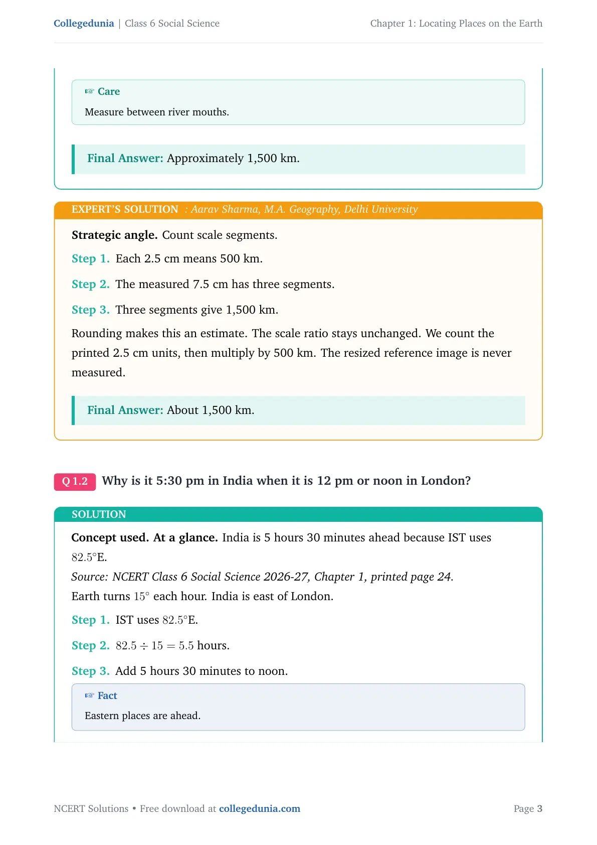
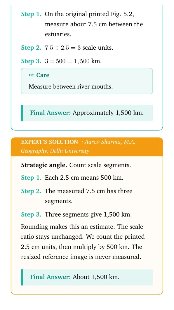
India uses the longitude of 82 degrees 30 minutes east for Indian Standard Time. This keeps one standard time across the country.
Common Mistakes in Locating Places on the Earth Answers
Most errors come from swapping terms or skipping map details. Check these points before you finish an answer.
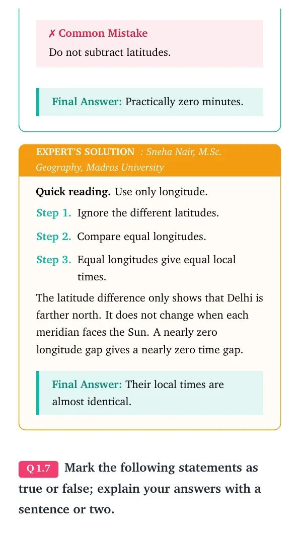
- Do not write longitude before latitude in a coordinate pair.
- Do not call every line on a map a boundary.
- Do not measure a map distance without checking its scale.
- Do not confuse the Equator with the Prime Meridian.
- Do not forget direction letters after coordinate values.
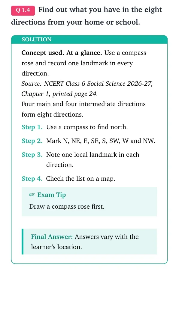
Tip: Draw a small compass with north at the top before solving a direction question.
Study Plan for Locating Places on the Earth Class 6 Solutions
Use the solutions after trying each textbook question yourself. A short three-part routine keeps the ideas clear and helps you remember them.
- First read: learn the map parts and four main directions.
- Second read: practise latitude, longitude and coordinate order.
- Final check: answer without looking, then compare each reason.
Spend extra time on coordinates and standard time. These ideas combine definitions with careful map reading.
Student Feedback
In a Collegedunia study poll of over 10,000 students, most students found coordinate questions easier after drawing the two reference lines first.
Related Class 6 Social Science Resources for Locating Places on the Earth
| Resource | Best use |
|---|---|
| Locating Places on the Earth Class 6 Notes | Revise definitions and chapter ideas |
| Locating Places on the Earth Class 6 Book PDF | Read maps, activities and textbook questions |
| Locating Places on the Earth Class 6 Handwritten Notes | Complete a quick visual recap |
All Class 6 Social Science NCERT Solutions
| Chapter | NCERT Solutions |
|---|---|
| 1 | Locating Places on the Earth |
| 2 | Oceans and Continents |
| 3 | Landforms and Life |
| 4 | Timeline and Sources of History |
All NCERT Solutions for Class 6 Social Science Chapter 1 Locating Places on the Earth with Step-by-Step Solutions
Open the question-wise page to check each textbook answer and its detailed explanation.
View all Locating Places on the Earth questions with step-by-step solutions
Locating Places on the Earth Social Science NCERT Solutions FAQs
Ques. What does a map scale show?
Ans. A map scale shows the link between a distance on the map and the actual ground distance.
Ques. What are the four cardinal directions?
Ans. The four cardinal directions are north, south, east and west.
Ques. What is latitude?
Ans. Latitude measures how far a place lies north or south of the Equator.
Ques. What is longitude?
Ans. Longitude measures how far a place lies east or west of the Prime Meridian.
Ques. Why are latitude and longitude used together?
Ans. Their crossing point gives the exact position of a place on Earth.
Ques. Why does India use one standard time?
Ans. One standard time keeps clocks and schedules common across the country despite its wide east-west extent.



Comments