




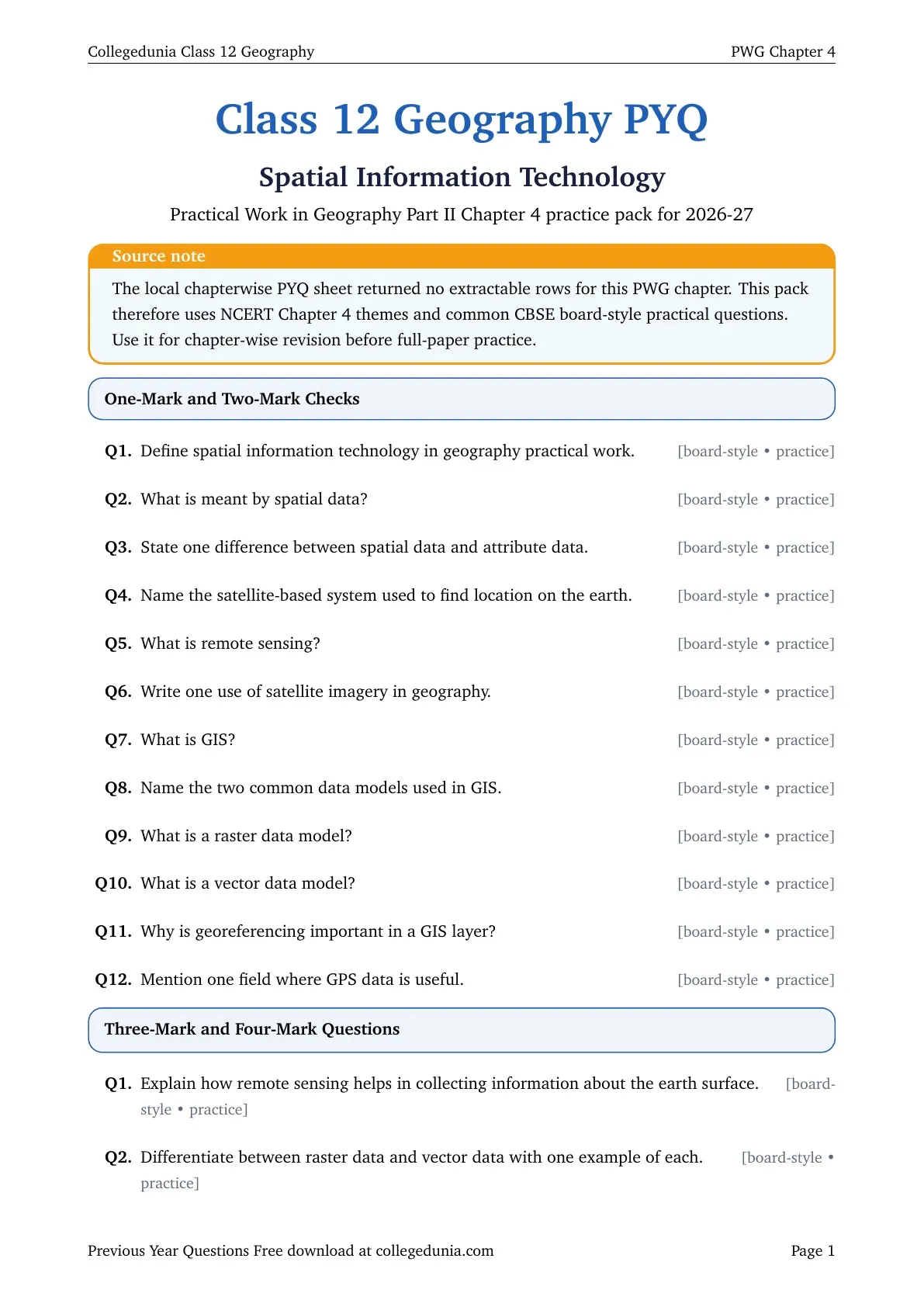
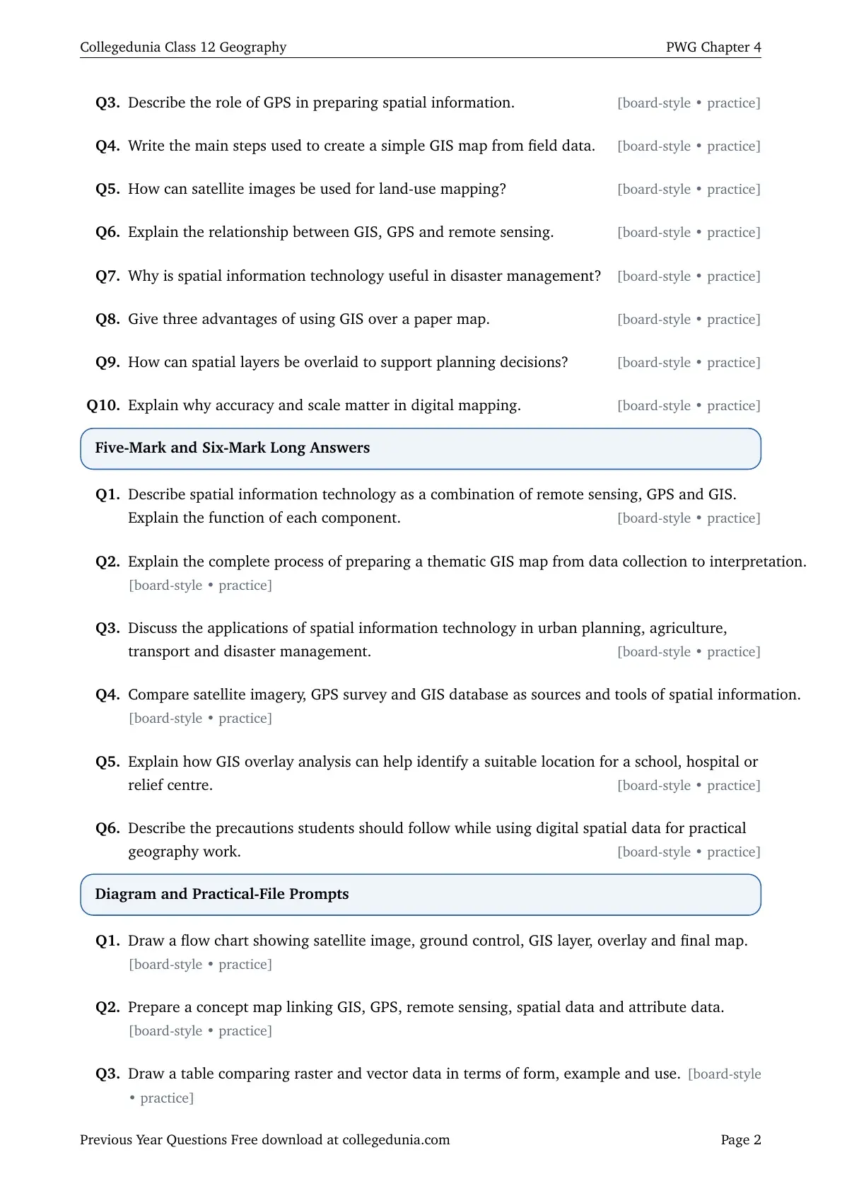
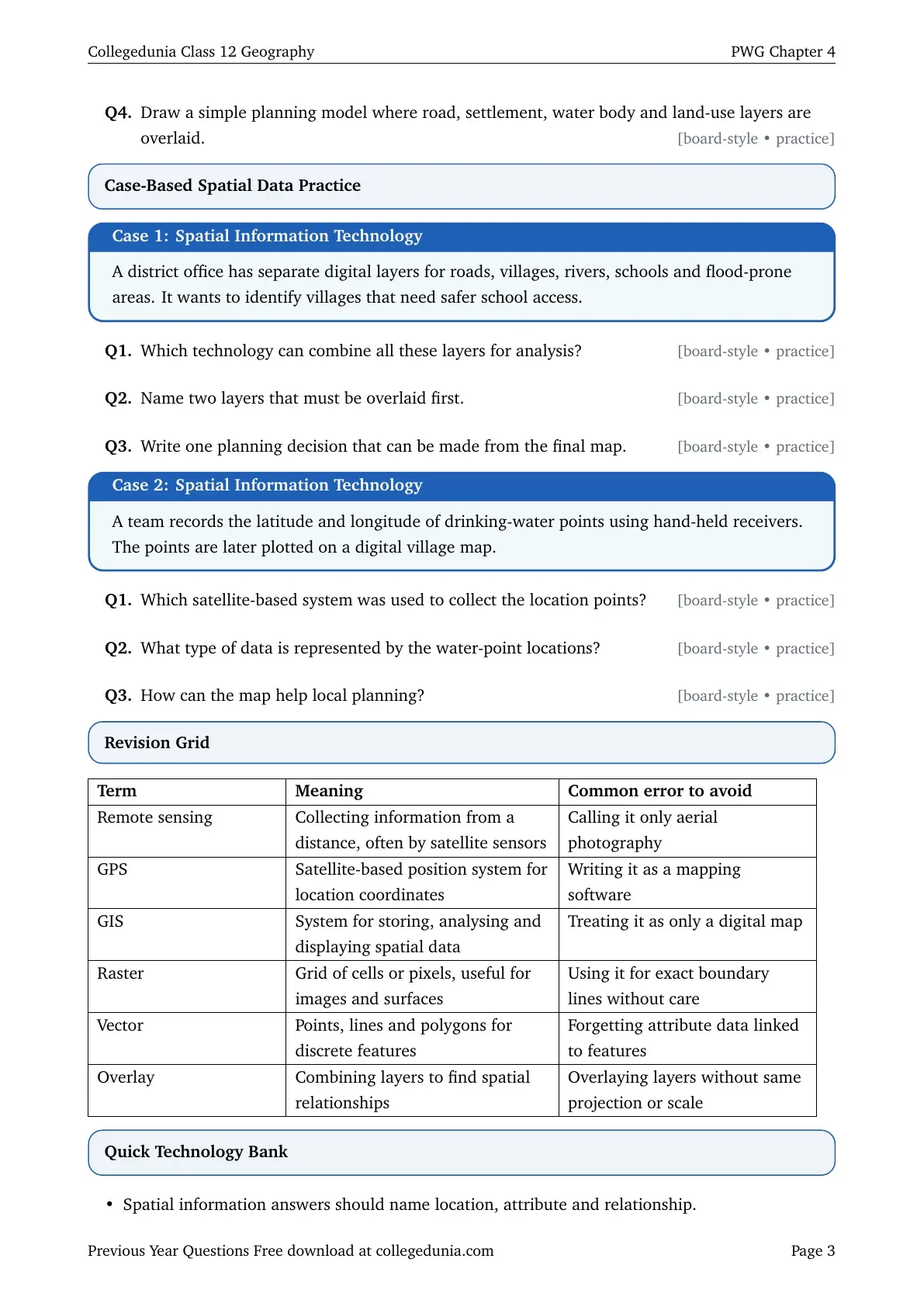
The Class 12 Geography Spatial Information Technology PYQ PDF is available for free download. This chapter-wise PDF helps students revise board-style question patterns from Practical Work in Geography Part II Chapter 4 for the 2026-27 board exam.
- Covers GIS, GPS, remote sensing, spatial data, raster and vector data, overlay analysis and decision maps.
- Includes 28 board-style questions because the local PYQ source sheet has no extractable rows for this PWG chapter.
- Useful for quick practical-file revision before solving full CBSE Geography board papers.
Student Feedback: Students can use this PYQ PDF to revise GIS, GPS and remote sensing questions without mixing up the role of each technology.
In This Article
- Class 12 Geography Spatial Information Technology PYQ PDF
- Questions Covered in Spatial Information Technology PYQ PDF
- Spatial Information Technology Video Revision
- Revision Focus for Spatial Information Technology PYQs
- Answer Writing Map for Spatial Information Technology PYQs
- All Class 12 Geography PYQ Chapters
Class 12 Geography Spatial Information Technology PYQ PDF
The PDF focuses on Chapter 4 of Practical Work in Geography Part II. The questions are arranged by marks so students can practise definitions, differences, workflow questions, GIS overlay examples and case-based spatial planning answers.
- Chapter: Chapter 4 PWG: Spatial Information Technology
- Main theme: collecting, storing, analysing and displaying location-based information
- Practice type: definition, comparison, application, diagram and case-based questions
- Best use: revise GIS, GPS and remote sensing before full-paper practice
Questions Covered in Spatial Information Technology PYQ PDF
The repeated practical-question pattern checks whether students can connect each technology with its mapping function. A strong answer names the data, the tool and the final planning use.
| PYQ Cluster | Question Focus | Answer Skill |
|---|---|---|
| Spatial data basics | Spatial data, attribute data, scale and accuracy | Define location and describe linked information |
| GIS and GPS | Layer database, coordinate collection and map display | Explain the role of each tool in field mapping |
| Remote sensing | Satellite image, sensor, raster surface and interpretation | Link image data with land-use or resource mapping |
| Overlay analysis | Combining roads, settlements, water, hazard and land-use layers | Write a planning decision from the combined map |
Spatial Information Technology Video Revision
Source: Magnet Brains on YouTube
Revision Focus for Spatial Information Technology PYQs
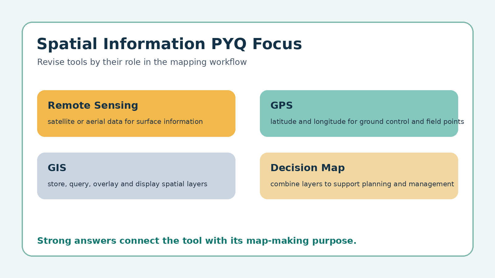
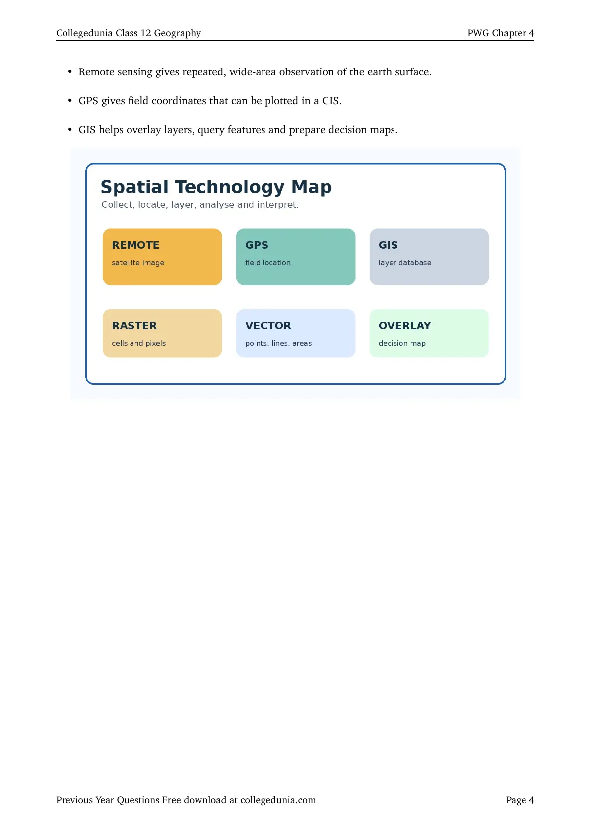
Begin with the mapping workflow. Remote sensing supplies image data, GPS supplies field location, and GIS stores and analyses the layers for a final map.
- Data: spatial position plus attribute information
- Tools: remote sensing, GPS and GIS
- Models: raster for cells or pixels and vector for points, lines and polygons
- Output: thematic map, overlay result, query table or planning decision
Answer Writing Map for Spatial Information Technology PYQs
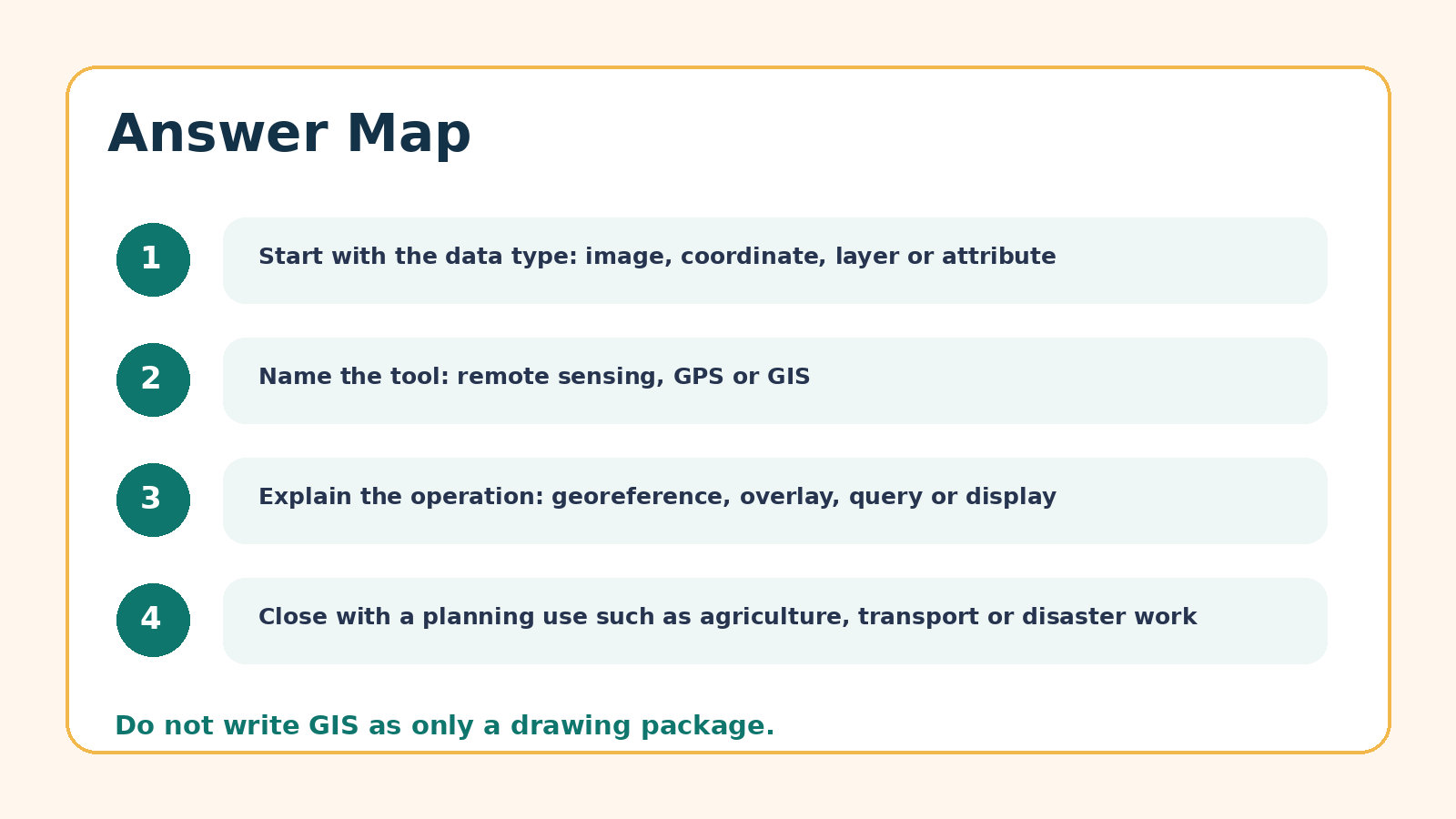
For application questions, write the tool, data input, processing step and use. For comparison questions, use examples such as satellite image for raster and road line or village point for vector.
Class 12 Geography Spatial Information Technology Related Resources
| Resource | Link |
|---|---|
| Spatial Information Technology NCERT Book PDF | Chapter 4 Book PDF |
| Spatial Information Technology Notes | Chapter 4 Notes |
| Spatial Information Technology NCERT Solutions | Chapter 4 Solutions |
All Class 12 Geography PYQ Chapters
| Resource | Link |
|---|---|
| Data Processing PYQ | PWG Chapter 2 PYQ PDF |
| Graphical Representation of Data PYQ | PWG Chapter 3 PYQ PDF |
| Spatial Information Technology PYQ | PWG Chapter 4 PYQ PDF |
| Human Development PYQ | FHG Chapter 3 PYQ PDF |
| Land Resources and Agriculture PYQ | IPE Chapter 3 PYQ PDF |
| Water Resources PYQ | IPE Chapter 4 PYQ PDF |
Class 12 Geography Spatial Information Technology PYQ FAQs
Ques. Where can I download Class 12 Geography Spatial Information Technology PYQ PDF?
Ans. You can download the chapter-wise PYQ PDF from the PDF viewer and download link above.
Ques. Which topics are important for Spatial Information Technology PYQs?
Ans. Focus on GIS, GPS, remote sensing, spatial data, attribute data, raster and vector models, georeferencing and overlay analysis.
Ques. Does this PDF include actual extracted previous-year rows?
Ans. No. The local source sheet has no extractable rows for this PWG chapter, so this PDF uses NCERT-based board-style practice questions.
Ques. How should students answer GIS application questions?
Ans. Write the input layers, the GIS operation such as overlay or query, and the planning decision that comes from the final map.



Comments