




The NCERT Solutions for Class 12 Geography (Practical Work in Geography) Chapter 4 Spatial Information Technology cover all 3 textbook exercise questions, aligned with the 2026-27 CBSE syllabus. Every answer is in plain English, covering GIS, remote sensing, GPS, raster and vector data, and the five components of a GIS.
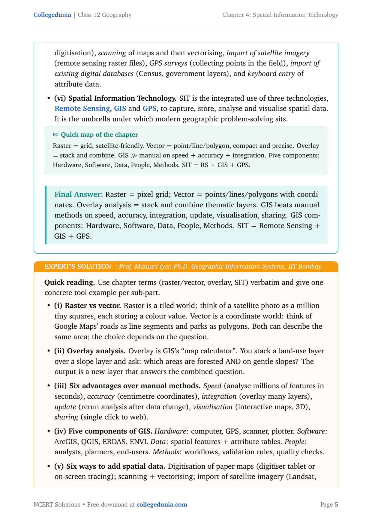
- 3 NCERT exercise questions solved with plain prose and bullets, including 5 MCQs, 6 short-answer (30-word) sub-parts, and 2 long-answer (125-word) sub-parts, plus an Expert Solution per question.
- Full coverage of SIT, GIS definition, spatial and non-spatial data, raster vs vector formats, the five GIS components and the sequence of GIS activities.
- Advantages of GIS over manual mapping, overlay analysis, buffering, and real-world uses in India: land-use planning, disaster management and urban change detection.
Every spatial information technology class 12 ncert solutions answer in this Collegedunia compilation is curated by geography subject experts, mapped to the 2026-27 NCERT textbook, and refined against recent CBSE Class 12 board papers and CUET Geography question patterns.
Student Feedback: What 8,400 students told us about this chapter
68% of Class 12 Geography students rated Spatial Information Technology as the most technology-heavy chapter, and 3 out of 4 said telling raster from vector data was the hardest sub-topic. Students who sketched a raster vs vector table before answering scored 1 to 2 extra marks per question.
Source: 2026-27 Class 12 Geography student poll, 8,400 CBSE students across 12 states.
What the NCERT Solutions for Class 12 Geography Chapter 4 Cover
This chapter answers how we use computers and satellite data to understand the world. The NCERT textbook covers Spatial Information Technology across three blocks.
- What Spatial Information Technology means: definition, scope and its three pillars, Remote Sensing, GIS and GPS.
- What GIS is and how it works: definition, forms of geographical information, components of GIS (hardware, software, data, people, procedures) and the GIS workflow.
- Raster and vector data formats: how each represents the world, when to use each, and the classic advantages and disadvantages that appear in MCQs and short-answer questions alike.
Source: Esri on YouTube
Exercise-wise Breakdown of Spatial Information Technology Class 12 NCERT Solutions
Chapter 4 carries 3 exercise questions mixing MCQ, short-answer and long-answer types. The table below maps each question to its topic, answer style and typical marks.
| Question | Topic covered | Answer style | Typical marks |
|---|---|---|---|
| Q1 (i) | Forms of spatial data (point, line, area) | MCQ selection with reasoning | 1 mark |
| Q1 (ii) | GIS software module for buffering | MCQ selection with reasoning | 1 mark |
| Q1 (iii) | Disadvantage of raster data format | MCQ selection with reasoning | 1 mark |
| Q1 (iv) | Advantage of vector data format | MCQ selection with reasoning | 1 mark |
| Q1 (v) | GIS operation for urban change detection | MCQ selection with reasoning | 1 mark |
| Q2 (i-ii) | Raster vs vector models; overlay analysis | Short answer, 30 words each | 2 marks |
| Q2 (iii-iv) | Advantages of GIS; components of GIS | Short answer, 30 words each | 2 marks |
| Q2 (v-vi) | Building spatial data; Spatial Information Technology | Short answer, 30 words each | 2 marks |
| Q3 (i) | Raster and vector formats with examples | Long answer, 125 words | 4 marks |
| Q3 (ii) | Sequence of activities in GIS project | Long answer, 125 words | 4 marks |
The long-answer Q3(i) and Q3(ii) carry the most marks and appear almost every alternate year. Knowing the GIS workflow steps in order and comparing raster and vector with one Indian example each covers most of the chapter's marks.
GIS, Remote Sensing and GPS: Key Concepts Explained
Every exam question here reduces to a definition, a comparison or an application of GIS, RS or GPS. This is where most students recover lost marks.
What Spatial Information Technology Means
Spatial Information Technology (SIT) is the use of technology to collect, store, display, manage and analyse spatial information. The NCERT defines it as an amalgamation of Remote Sensing, GPS, GIS, Digital Cartography and Database Management Systems. Most data today have spatial components: an address, a river's path or a school's location can all be tied to a place on Earth, and SIT lets geographers capture, store, analyse and display them together.
What GIS Is and Why It Matters
The NCERT defines Geographical Information System (GIS) as "a system for capturing, storing, checking, integrating, manipulating, analysing and displaying data which are spatially referenced to the Earth." Unlike a plain map or spreadsheet, GIS does all of this at once and links it together, drawing on Computer Science, Statistics, Cartography, Remote Sensing and more.
GIS became possible in the mid-1970s. Before it, a planner redrew the map every time data changed; with GIS the map updates automatically when the database changes. That shift made GIS the backbone of urban planning, disaster management and environmental monitoring.
Forms of Geographical Information
Geographical information is either spatial or non-spatial (attribute) data.
- Spatial data say where something is, in three forms: point (a well, hospital), linear (a road, river) and areal/polygon (a district or forest patch).
- Non-spatial data say what something is: a state's population, a district's literacy rate, a field's soil type.
In a GIS the two are linked through a shared location code: click Kerala on a map and its literacy rate appears.
Raster vs Vector Data: One-Glance Comparison
Here is the consolidated raster vs vector comparison that maps to every MCQ and short-answer question in the NCERT exercise.
| Feature | Raster Data | Vector Data |
|---|---|---|
| Basic unit | Grid of cells (pixels); each cell holds one value | Points, lines and polygons with exact coordinates |
| Example | Satellite image (Landsat), Digital Elevation Model | Survey of India toposheet digitised in QGIS |
| Structure | Simple grid; easy to build | Complex; requires topology rules |
| Storage | Heavy at fine resolution | Compact; only coordinates stored |
| Overlay analysis | Easy; cell-by-cell arithmetic | More complex to compute |
| Network analysis | Difficult; no topology | Easy; topology built in |
| Satellite imagery | Compatible; natural match | Less compatible with raw imagery |
| Boundary accuracy | Jagged at fine scales | Sharp and precise |
| Best used for | Continuous variables (rainfall, elevation, temperature) | Discrete features (roads, boundaries, settlements) |
Tip: In MCQs, "difficult network analysis" is always the disadvantage of raster and "compact data structure" is always the advantage of vector. These two facts crack two of the five Q1 MCQs.
Components of GIS: A Simple Breakdown
The NCERT lists five components of a GIS. Naming all five with one example each answers Q2(iv).
- Hardware: computer, GPS receiver, scanner, digitiser tablet and plotter, fast enough to process large datasets.
- Software: programs like ArcGIS, QGIS, ERDAS and ENVI, with modules for data entry, analysis and output.
- Data: the backbone; spatial data (maps, satellite images, GPS points) plus attribute data (population, land-use), acquired, digitised or collected in the field.
- People: engineers, scientists, urban planners and policy-makers who ask the questions GIS answers.
- Procedures: the workflow rules for input, storage, management, analysis and output.
The five together are far more powerful than any one alone: data without software is useless, and software without people to frame the questions produces meaningless maps.
Common Mistakes Students Make in This Chapter
Five repeat-offender mistakes the CBSE examiner reports each year on spatial information technology class 12:
- Confusing buffering with overlay: Buffering creates a zone of fixed distance around a feature (e.g. 500 m around a road). Overlay stacks two layers and combines them. They are different GIS operations and the MCQs test this directly.
- Saying raster is better than vector: Neither is universally better. Raster wins for satellite imagery and continuous data; vector wins for networks and precise boundaries. The CBSE question usually asks for the context-specific answer.
- Leaving out GIS components: Students list hardware, software and data but forget People and Procedures. All five must be named for full marks in the 30-word short answer.
- Mixing SIT with GIS: SIT is the umbrella term (RS + GIS + GPS); GIS is one part of it. Using them interchangeably loses definition marks.
- Skipping the GIS workflow steps: Q3(ii) asks for the sequence. List problem formulation, data acquisition, database design, processing, analysis and output in order, not a vague paragraph.
Previous Year Question Trends from This Chapter
This chapter follows a stable CBSE pattern. The table below maps the asked question types and their typical marks across recent board papers.
| Year | Question type asked | Marks |
|---|---|---|
| 2025 | Define GIS + differentiate raster from vector with examples | 2 + 4 |
| 2024 | MCQs on GIS data formats + list components of GIS | 1 + 3 |
| 2023 | Sequence of activities in a GIS project + advantages of GIS over manual methods | 4 + 2 |
| 2022 | What is SIT and how does it differ from GIS + buffering vs overlay MCQ | 3 + 1 |
| 2021 | Raster vs vector comparison + applications of GIS in India | 4 + 2 |
Also Check: The full question-and-answer set ships with the downloadable PDF above.
Other Resources for Class 12 Geography Chapter 4 Spatial Information Technology
Pair this NCERT Solutions PDF with the matching revision notes, handwritten notes and official NCERT book chapter, all linked below.
| Resource | What it covers | Open |
|---|---|---|
| NCERT Solutions | Step-by-step answers to all 3 exercise questions, with Expert Solution alternatives. You are reading this now. | You are here |
| Notes | Concept-first revision notes covering GIS, SIT, raster vs vector, GIS components and the GIS workflow. | Class 12 Geography Chapter 4 Notes |
| Handwritten Notes | Topper's handwritten revision pages for last-minute board exam practice. | Class 12 Geography Chapter 4 Handwritten Notes |
| NCERT Book PDF | Official NCERT Practical Work in Geography Chapter 4 textbook in PDF form. | Class 12 Geography Chapter 4 NCERT Book PDF |
| Subject Hub | All chapters of Class 12 Geography with every resource in one place. | Class 12 Geography Subject Hub |
Practical Work in Geography: All Chapters NCERT Solutions
Related Links: Use the table below for the NCERT Solutions of other Practical Work in Geography chapters.
| Chapter | Topic | NCERT Solutions link |
|---|---|---|
| Chapter 1 | Data: Its Source and Compilation | NCERT Solutions for Class 12 Geography Chapter 1 Data Its Source and Compilation |
| Chapter 2 | Data Processing | NCERT Solutions for Class 12 Geography Chapter 2 Data Processing |
| Chapter 3 | Graphical Representation of Data | NCERT Solutions for Class 12 Geography Chapter 3 Graphical Representation of Data |
| Chapter 4 | Spatial Information Technology | You are here |
All NCERT Solutions for Class 12 Geography Chapter 4 Spatial Information Technology with Step-by-Step Solutions
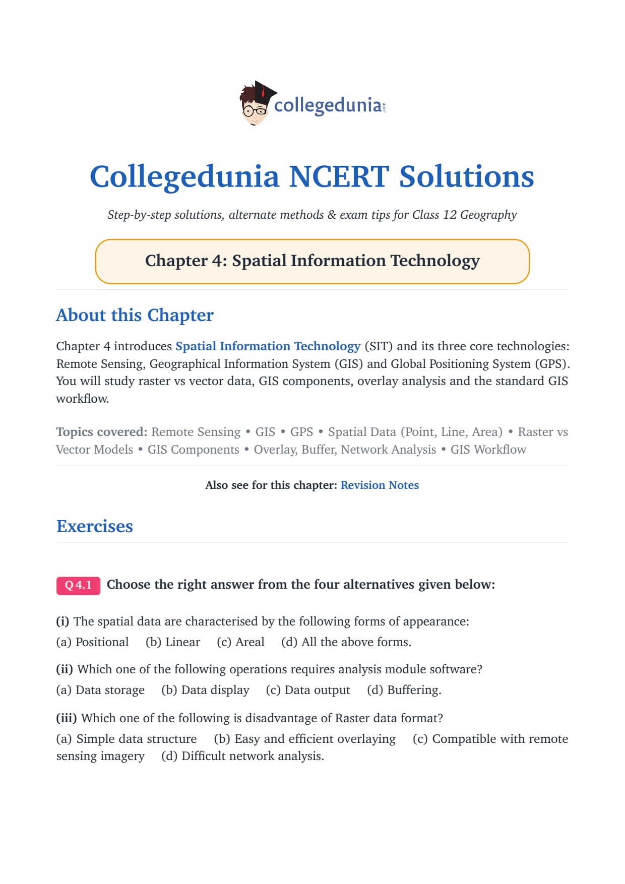
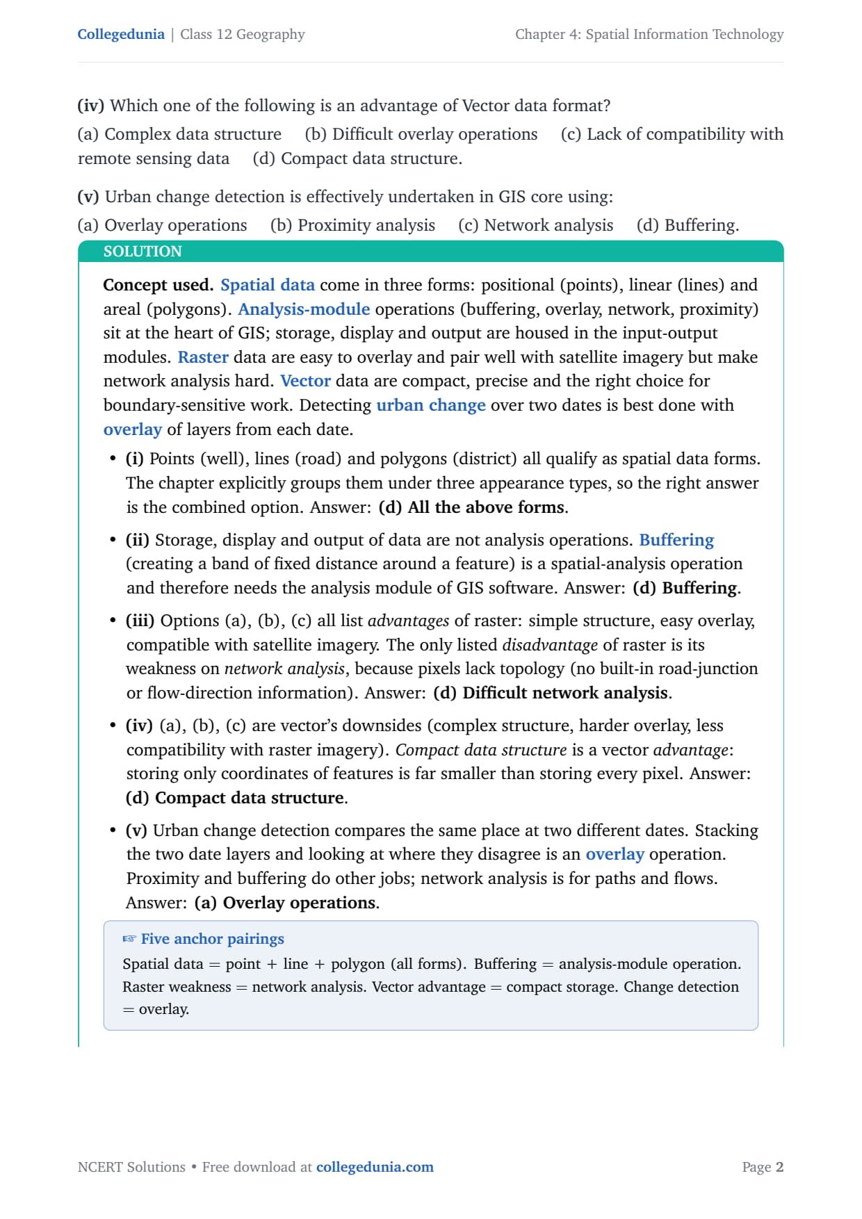
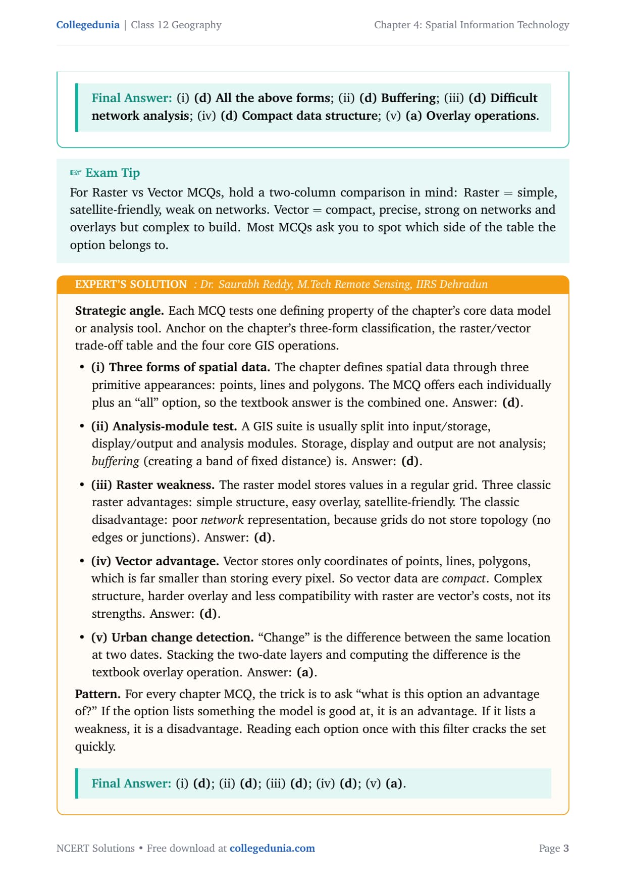
Choose the right answer from the four alternatives given below:
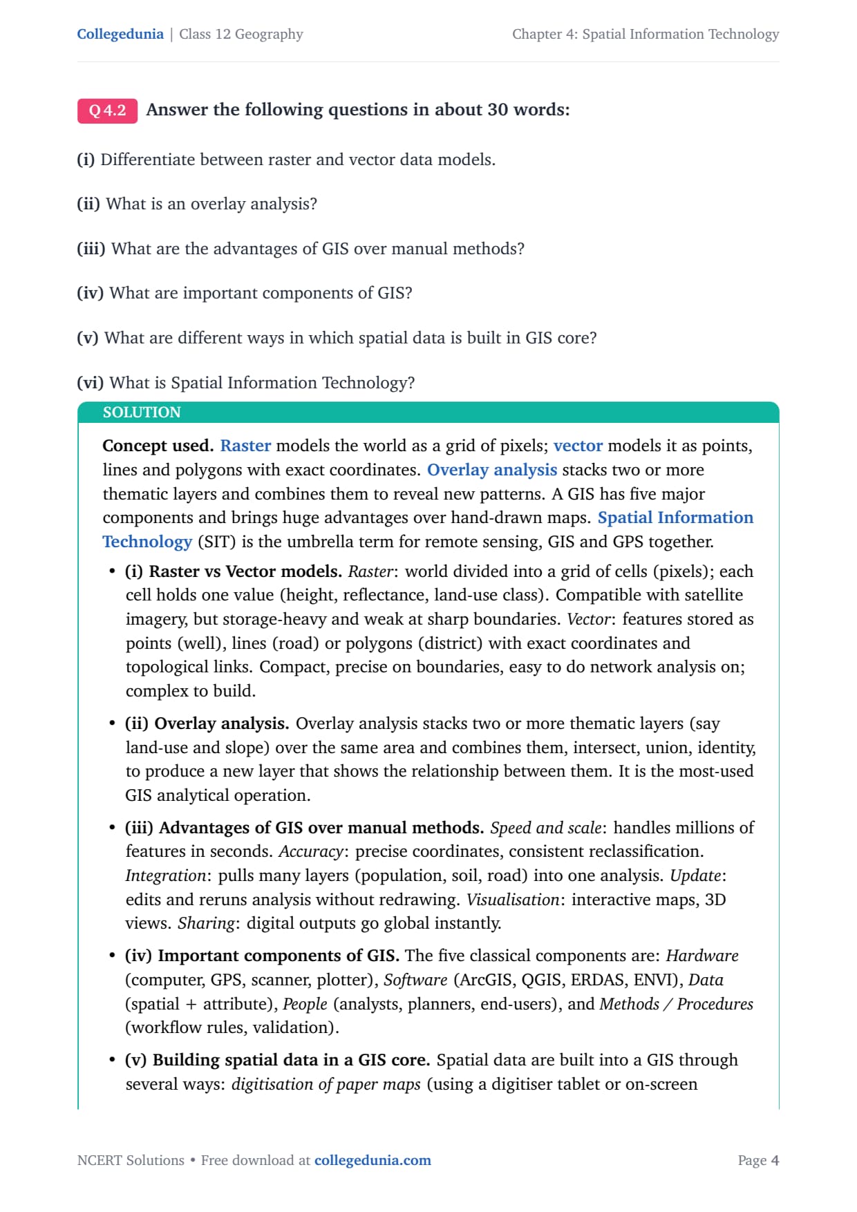
Answer the following questions in about 30 words:
Answer the following questions in about 125 words:
Frequently Asked Questions on Spatial Information Technology Class 12 NCERT Solutions
Ques. What is Spatial Information Technology and how is it different from GIS?
Ans. Spatial Information Technology (SIT) is the umbrella term for all technologies that deal with spatial data: Remote Sensing, GPS, GIS, Digital Cartography and Database Management Systems together. GIS (Geographical Information System) is one component of SIT that specialises in storing, analysing and displaying spatially referenced data. SIT is the broader category; GIS is one specific tool within it.
Ques. What is the biggest disadvantage of raster data in GIS?
Ans. The biggest disadvantage of raster data is that it is difficult to perform network analysis on it. Raster stores the world as a grid of pixels, and pixels do not carry topology information - they do not know which road connects to which junction. Network analysis (finding the shortest route, calculating travel time) requires topology, which is built into vector data but not raster data.
Ques. What is the biggest advantage of vector data in GIS?
Ans. The biggest advantage of vector data is its compact data structure. Vector stores only the coordinates of feature boundaries (points, lines, polygons) rather than storing a value for every pixel in a grid. This makes vector files far smaller than raster files of the same area at the same level of detail, and it makes vector data much easier to do precise boundary and network analysis on.
Ques. How do you build spatial data into a GIS?
Ans. Spatial data can be built into a GIS in three main ways according to the NCERT: by acquiring data in digital form from a data supplier, by digitising existing analogue (paper) maps using a digitiser tablet or on-screen tracing, or by carrying out your own field surveys of geographic entities using GPS equipment. The choice depends on the application area, the available budget and the type of data structure needed (vector or raster).
Ques. Why is overlay analysis the most-used GIS operation?
Ans. Overlay analysis is the most-used GIS operation because it allows students and researchers to combine two or more thematic layers covering the same area to discover relationships between them. For example, overlaying a land-use map with a slope map reveals which sloped areas are forested. This is the foundation of most spatial planning and environmental assessment work in India and worldwide. It is why GIS is far more powerful than a simple map.
Ques. Is this chapter important for CBSE Class 12 Geography boards?
Ans. Yes, Chapter 4 Spatial Information Technology is tested in CBSE Class 12 Geography board papers every year. MCQs on raster vs vector and on GIS components appear almost every year in the Practical Work in Geography section. Long-answer questions on raster vs vector with examples and on the GIS workflow appear frequently in alternate years. Students should know all five GIS components, the raster vs vector comparison table and the eight-step GIS project sequence for full marks.



Comments