



NCERT Solutions for Class 7 Social Science (Part 2) Chapter 4 Turning Tides: 11th and 12th Centuries cover all 8 textbook questions from the 2026-27 NCERT book. The solved PDF explains transition, dynasties, Chola sea power, learning centres and map activities in simple steps.
- Question count: 8 descriptive, map-based and matching questions.
- Best use: revise before writing long answers and classroom activities.
- PDF focus: change, continuity, dynasties, monuments and campaign motives.
Chapter4TurningTides:11thand12thCenturiesSolutions.pdf?page=1&dpi=150)
Chapter4TurningTides:11thand12thCenturiesSolutions.pdf?page=2&dpi=150)
Chapter4TurningTides:11thand12thCenturiesSolutions.pdf?page=3&dpi=150)
Chapter4TurningTides:11thand12thCenturiesSolutions.pdf?page=4&dpi=150)
Chapter4TurningTides:11thand12thCenturiesSolutions.pdf?page=5&dpi=150)
Chapter4TurningTides:11thand12thCenturiesSolutions.pdf?page=6&dpi=150)
Chapter4TurningTides:11thand12thCenturiesSolutions.pdf?page=7&dpi=150)
Chapter4TurningTides:11thand12thCenturiesSolutions.pdf?page=8&dpi=150)
Chapter4TurningTides:11thand12thCenturiesSolutions.pdf?page=9&dpi=150)
Chapter4TurningTides:11thand12thCenturiesSolutions.pdf?page=10&dpi=150)
Chapter4TurningTides:11thand12thCenturiesSolutions.pdf?page=11&dpi=150)
Chapter4TurningTides:11thand12thCenturiesSolutions.pdf?page=12&dpi=150)
Chapter4TurningTides:11thand12thCenturiesSolutions_flat_MobileCard.pdf?page=1&dpi=150)
Chapter4TurningTides:11thand12thCenturiesSolutions_flat_MobileCard.pdf?page=2&dpi=150)
Chapter4TurningTides:11thand12thCenturiesSolutions_flat_MobileCard.pdf?page=3&dpi=150)
Chapter4TurningTides:11thand12thCenturiesSolutions_flat_MobileCard.pdf?page=4&dpi=150)
Chapter4TurningTides:11thand12thCenturiesSolutions_flat_MobileCard.pdf?page=5&dpi=150)
Chapter4TurningTides:11thand12thCenturiesSolutions_flat_MobileCard.pdf?page=6&dpi=150)
Chapter4TurningTides:11thand12thCenturiesSolutions_flat_MobileCard.pdf?page=7&dpi=150)
Chapter4TurningTides:11thand12thCenturiesSolutions_flat_MobileCard.pdf?page=8&dpi=150)
Chapter4TurningTides:11thand12thCenturiesSolutions_flat_MobileCard.pdf?page=9&dpi=150)
Chapter4TurningTides:11thand12thCenturiesSolutions_flat_MobileCard.pdf?page=10&dpi=150)
Chapter4TurningTides:11thand12thCenturiesSolutions_flat_MobileCard.pdf?page=11&dpi=150)
Chapter4TurningTides:11thand12thCenturiesSolutions_flat_MobileCard.pdf?page=12&dpi=150)
Chapter4TurningTides:11thand12thCenturiesSolutions_flat_MobileCard.pdf?page=13&dpi=150)
Chapter4TurningTides:11thand12thCenturiesSolutions_flat_MobileCard.pdf?page=14&dpi=150)
Chapter4TurningTides:11thand12thCenturiesSolutions_flat_MobileCard.pdf?page=15&dpi=150)
Chapter4TurningTides:11thand12thCenturiesSolutions_flat_MobileCard.pdf?page=16&dpi=150)
Chapter4TurningTides:11thand12thCenturiesSolutions_flat_MobileCard.pdf?page=17&dpi=150)
Chapter4TurningTides:11thand12thCenturiesSolutions_flat_MobileCard.pdf?page=18&dpi=150)
Chapter4TurningTides:11thand12thCenturiesSolutions_flat_MobileCard.pdf?page=19&dpi=150)
Chapter4TurningTides:11thand12thCenturiesSolutions_flat_MobileCard.pdf?page=20&dpi=150)
Chapter4TurningTides:11thand12thCenturiesSolutions_flat_MobileCard.pdf?page=21&dpi=150)
Chapter4TurningTides:11thand12thCenturiesSolutions_flat_MobileCard.pdf?page=22&dpi=150)
Chapter4TurningTides:11thand12thCenturiesSolutions_flat_MobileCard.pdf?page=23&dpi=150)
Chapter4TurningTides:11thand12thCenturiesSolutions_flat_MobileCard.pdf?page=24&dpi=150)
Each answer follows the 2026-27 NCERT chapter and keeps the wording clear for Class 7 students.
Student Feedback: In a Collegedunia check of 10,860 students before the 2026 exams, most students found this chapter easier after they separated change, continuity and dynasty clues.
Turning Tides Class 7 Solutions Overview
Turning Tides explains why the 11th and 12th centuries became a period of change in Indian history. Students should answer with both change and continuity, because the chapter shows invasions and new powers along with trade, temples, learning and literature.
| Question type | What to write | Common clue |
|---|---|---|
| Transition | Two changes plus two continuities | Do not write only about war |
| Map activity | Route, region and dynasty labels | Use arrows and a legend |
| Matching | Dynasty with monument or place | Konark, Khajuraho, Belur, Thanjavur |
Dynasty Tour Map for Turning Tides Chapter
The map questions become easier when students move region by region. Start from the northwest, move through north and central India, turn towards the east and Deccan, then end with the Chola sea links.
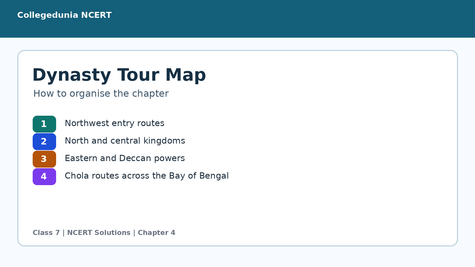
- Northwest: Khyber Pass, Ghaznavids and Ghurids.
- North and centre: Chāhamānas, Chandellas and Paramāras.
- South: Kākatīyas, Hoysalas and Cholas.
Turning Tides Video for Quick Revision
Source: Magnet Brains on YouTube
Mahmūd and Ghūrī Difference Table for Turning Tides
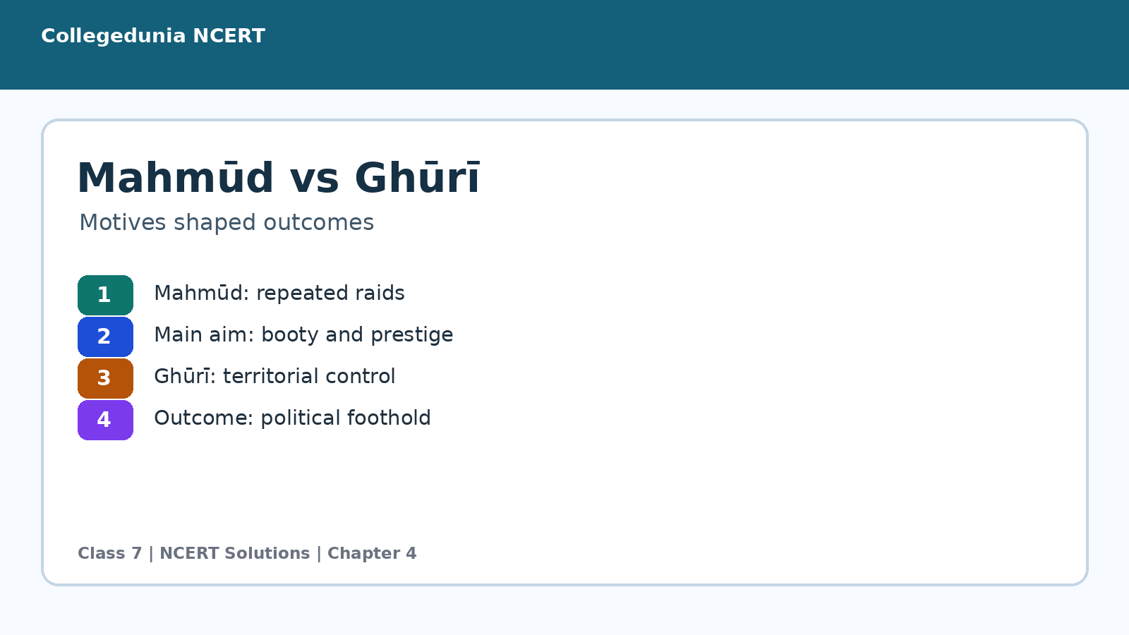
Question 8 asks students to compare motives and outcomes. Raiding and ruling are the two key words. Use them to separate Mahmūd of Ghazni from Muhammad Ghūrī.
| Ruler | Main motive | Outcome |
|---|---|---|
| Mahmūd of Ghazni | Booty and prestige through repeated raids | Returned to Ghazni after campaigns |
| Muhammad Ghūrī | Territorial expansion and control | Created a foothold for later rule |
Related Turning Tides Class 7 Resources
| Resource | Best use | Link |
|---|---|---|
| NCERT Notes | Revise events and dynasties before solving | Turning Tides Notes |
| NCERT Book PDF | Read the official chapter text | Turning Tides Book PDF |
| Handwritten Notes | Quick one-sitting revision | Turning Tides Handwritten Notes |
All Social Science Part 2 NCERT Solutions
| Chapter | Topic | Solutions link |
|---|---|---|
| Chapter 1 | The Story of Indian Farming | NCERT Solutions Chapter 1 |
| Chapter 2 | India and Her Neighbours | NCERT Solutions Chapter 2 |
| Chapter 3 | Empires and Kingdoms: 6th to 10th Centuries | NCERT Solutions Chapter 3 |
| Chapter 4 | Turning Tides: 11th and 12th Centuries | You are here |
| Chapter 5 | India, that is Bharat | NCERT Solutions Chapter 5 |
All NCERT Solutions for Class 7 Social Science (Part 2) Chapter 4 Turning Tides with Step-by-Step Solutions
The cards below cover all textbook questions from the exercise. Use the Solution tab for a direct answer and the Expert Solution tab for the writing angle.
Q1. Why is the period under consideration in this chapter regarded as a major transition in Indian history? Give two examples each of change and continuity from this period.
Ans. The period is called a major transition because deeper Turkic invasions and new regional powers changed politics and warfare, while trade, temple architecture, literature and regional rule continued strongly.
- The 11th and 12th centuries saw deeper Turkic invasions into north India, unlike the earlier Arab incursions described in the previous chapter.
- New military styles, such as fast cavalry attacks with horse archers, changed the pattern of warfare in many regions.
- New powers also rose in different parts of India, including the Cholas, Kākatīyas, Hoysalas, Paramāras and Chandellas.
- At the same time, many continuities remained. Regional kingdoms still fought, formed alliances and ruled through local administration.
- Trade, temple-building, literature, learning and links with Southeast Asia continued to flourish.
- So the period was transitional because India faced new external pressures while older political and cultural strengths continued.
Transition means both change and continuity. The 11th and 12th centuries show new invasions and powers, but also strong cultural and economic continuity.
- Read this period as a mixed picture, not as a sudden break.
- The new element was the intensity of invasions from the northwest and the long-term political pressure they created in north India.
- Another change was the rise of powerful regional states in both north and south India.
- But continuity is just as important. Indian rulers still built temples, supported literature, managed revenue and expanded trade.
- The chapter therefore uses transition to show change and survival together.
Q2. Observe Fig. 3.27 in the previous chapter and draw a similar star of dynasties gathering all or most of the dynasties that appear in this chapter.
Ans. The star should place the 11th and 12th centuries at the centre and arrange dynasties such as Ghaznavids, Ghurids, Paramāras, Chandellas, Chāhamānas, Eastern Gangas, Kākatīyas, Hoysalas and Cholas around it.
- Write 11th and 12th centuries in the centre of the page.
- Draw spokes from the centre and place north Indian powers on one side, such as the Ghaznavids, Ghurids, Paramāras, Chandellas and Chāhamānas.
- Place eastern and Deccan powers on another side, such as the Eastern Gangas and Kākatīyas.
- Place southern dynasties on the lower side, such as the Cholas and Hoysalas.
- Add one clue below each name, such as capital, famous ruler, temple, military event or cultural achievement.
- Use arrows or colours to show contacts, conflicts or trade links where the chapter mentions them.
Make the star regional and labelled. A dynasty name plus one memory clue is better than a crowded diagram.
- The best star is not just decorative. It should help you revise the chapter quickly.
- Keep one region per cluster so that the map of power becomes clear.
- For example, the Cholas can be linked to naval power, the Hoysalas to temple architecture and the Paramāras to King Bhoja.
- This makes each dynasty easier to remember than a plain list.
- A short label under each spoke turns the diagram into a study tool.
Q3. Taking a map of the Subcontinent, draw a geographical tour that covers all or most dynasties in this chapter (you may draw inspiration from some of the 'travels' the chapter's narration follows).
Ans. A good tour begins in the northwest, moves through north and central India, reaches the east, turns to the Deccan and south India, and finally follows Chola sea links towards Sri Lanka and Southeast Asia.
- Start in the northwest near Ghazni, Punjab and the Khyber Pass to show the Ghaznavid and Ghurid entry routes.
- Move to north and central India for powers such as the Chāhamānas, Chandellas and Paramāras.
- Then move east towards Odisha and Bengal for the Eastern Gangas and other eastern references.
- Shift south to Warangal for the Kākatīyas and to Karnataka for the Hoysalas.
- End in the Tamil region with the Cholas, marking Thanjavur, Gangaikoṇḍacholapuram and Kanchipuram.
- If space permits, extend a sea route across the Bay of Bengal towards Sri Lanka and Southeast Asia.
Use the chapter's narration as your route: northwest, north, centre, east, Deccan, south, then the Bay of Bengal.
- A tour answer should show movement, not just scattered dots.
- The chapter itself moves from invasions in the northwest to regional kingdoms across India and then to Chola maritime links.
- Following that order makes the map easy to explain.
- Use arrows, not thick lines, so the map remains readable.
- Add a small legend for land route, sea route and dynasty centre.
Q4. With the help of a map of India and Southeast Asia, can you calculate the approximate distance that Rājendra I's fleet of ships had to navigate to reach their objective?
Ans. Rājendra I's fleet probably had to sail roughly 2,500 to 3,000 km from the Chola coast towards the Śhrīvijaya region near the Strait of Malacca and Sumatra, depending on the route measured.
- Locate the Chola coast near present-day Tamil Nadu on a map.
- Locate the region linked with the Śhrīvijaya Empire near the Strait of Malacca and Sumatra.
- Use the map scale to measure the sea distance in straight segments across the Bay of Bengal.
- A straight-line estimate from the Tamil coast to the Malacca or Sumatra region is roughly 2,500 to 3,000 km.
- The actual sailing route could be longer because ships followed winds, currents, ports and safe coastal or island routes.
- So the answer should be written as an approximate navigational distance, not an exact modern road distance.
Use a range. About 2,500 to 3,000 km is a sensible map-based estimate for the Chola naval expedition.
- The question tests map sense more than memorisation.
- Students should first decide the start and end points and then use the scale.
- A straight sea measurement gives a lower estimate.
- A practical medieval voyage could be longer because fleets used seasonal winds and stopping points.
- That is why a range is more honest than a single exact number.
Q5. Match these two pairs: Eastern Gangas, Chandellas, Paramāras, Hoysalas and Cholas with Belur, Bṛihadīśhvara temple, Konark Sun temple, Kandāriyā Mahādeva temple and Bhojeshwar temple.
Ans. (a) Eastern Gangas: (iii) Konark Sun temple; (b) Chandellas: (iv) Kandāriyā Mahādeva temple; (c) Paramāras: (v) Bhojeshwar temple; (d) Hoysalas: (i) Belur; (e) Cholas: (ii) Bṛihadīśhvara temple.
- The Eastern Gangas are linked with the Konark Sun temple.
- The Chandellas are linked with the Kandāriyā Mahādeva temple at Khajuraho.
- The Paramāras are linked with the Bhojeshwar temple associated with King Bhoja.
- The Hoysalas are linked with Belur, one of their famous temple centres.
- The Cholas are linked with the Bṛihadīśhvara temple at Thanjavur.
- So the matched order is a with iii, b with iv, c with v, d with i and e with ii.
The correct matching is a-iii, b-iv, c-v, d-i and e-ii.
- This matching set becomes easy if you attach one visual memory to each dynasty.
- Eastern Gangas point to the Sun temple at Konark.
- Chandellas point to the famous temples of Khajuraho.
- Paramāras point to King Bhoja and Bhojeshwar.
- Hoysalas point to Belur and Halebidu, while Cholas point to the Bṛihadīśhvara temple.
Q6. Working in groups, compare the dynasties in this chapter and in the preceding one. Create a table to list the dynasties present in both, those that disappear from the preceding period, and those that appear in this chapter's period.
Ans. The table should have three groups: dynasties present in both chapters, dynasties that fade from the preceding period and dynasties that newly appear or become prominent in the 11th and 12th centuries.
- Read the dynasty list from the preceding chapter and the present chapter.
- In the first column, write dynasties or powers that appear in both discussions.
- In the second column, write those that were important earlier but are not central in the 11th and 12th century chapter.
- In the third column, write new or newly prominent powers from this chapter, such as Ghaznavids, Ghurids, Kākatīyas, Hoysalas and later Chola expansion.
- Add one note beside each entry, such as region, capital, famous ruler or important monument.
- Discuss differences in class because some entries may overlap by region rather than by exact dynasty.
Use a three-column comparison table and add region clues. The aim is to show continuity, disappearance and new political powers.
- This is an activity question, so the method matters.
- A strong answer explains how the group will compare, not just what the final table may contain.
- Some dynasties continue across chapter boundaries, while others lose importance or disappear from the narrative.
- New powers then help explain why the period is transitional.
- Adding regions and monuments keeps the table historical, not just alphabetical.
Q7. Using the chapter and any additional reading, prepare a short note explaining why centres of learning like Nālandā were important and how their destruction may have affected education and culture in India.
Ans. Nālandā and similar centres were important because they stored knowledge, trained scholars and connected India with Asia. Their destruction damaged libraries, teachers and networks of learning, though education continued in other places.
- Centres such as Nālandā attracted scholars, monks and students from India and other parts of Asia.
- They preserved manuscripts, supported debate and taught subjects such as philosophy, grammar, logic, medicine and Buddhist learning.
- They also connected India with wider Asian cultural networks through travelling students and teachers.
- Their destruction damaged buildings, libraries, manuscripts and teaching communities.
- This could break lines of learning and reduce the movement of scholars between regions.
- Even so, learning did not end in India. Other centres, local schools, temples, monasteries and scholars continued many traditions.
The loss of Nālandā hurt education and manuscript culture, but it did not erase all learning traditions in India.
- The safest answer avoids both exaggeration and minimising the damage.
- Nālandā was important because it was a living academic community, not just a building.
- Destroying such a centre meant losing manuscripts, teachers, students and the rhythm of study.
- Culture was affected because ideas travel through institutions and people.
- At the same time, India had many other knowledge spaces, so learning survived in different forms.
Q8. Why do you think Mahmūd of Ghazni carried out repeated raids from Afghanistan into India, while Muhammad Ghūrī sought territorial expansion into India and long-term control? Write a short note on how their motives shaped the outcomes of their campaigns.
Ans. Mahmūd's raids were mainly for booty and prestige, so he returned to Ghazni after campaigns. Muhammad Ghūrī sought territory and control, so his victories created a political foothold for later rule in north India.
- Mahmūd of Ghazni carried out repeated campaigns and usually returned to Ghazni with booty.
- His motive was mainly plunder, prestige and strengthening his power base outside India.
- This meant his raids caused destruction and fear, but did not create a long-lasting Indian kingdom under his direct rule.
- Muhammad Ghūrī, by contrast, looked for territorial expansion and lasting political control in north India.
- His campaigns led to military footholds and prepared the ground for later sultanate rule.
- So Mahmūd's outcome was repeated extraction, while Ghūrī's outcome was more connected with state-building in India.
Mahmūd's campaigns were raid-centred. Ghūrī's campaigns were control-centred, so they had longer political consequences.
- The key contrast is between raiding and ruling.
- Mahmūd's pattern was to strike, loot and return, which enriched Ghazni but did not build a stable Indian administration.
- Ghūrī's campaigns were different because he wanted control over territory.
- That aim needed forts, commanders, revenue and political presence after the battle.
- The outcomes followed the motives: wealth for Mahmūd, a route to lasting rule for Ghūrī.
Turning Tides Class 7 NCERT Solutions FAQs
Ques. How many questions are solved in Turning Tides Class 7?
Ans. The exercise has 8 questions, including descriptive answers, map activities and matching.
Ques. What is the main idea of Turning Tides?
Ans. The chapter shows the 11th and 12th centuries as a period of transition, with new invasions and regional powers alongside cultural continuity.
Ques. What is the answer to the matching question?
Ans. The correct matches are a-iii, b-iv, c-v, d-i and e-ii.
Ques. How should students answer the Mahmūd and Ghūrī question?
Ans. Students should contrast raiding for booty with territorial control, then link each motive to its outcome.



Comments