The NCERT Solutions for Class 11 Geography Chapter 16 Structure and Physiography cover every exercise question from the latest 2026-27 NCERT book. The chapter explains island groups, the cold desert of Ladakh, western coastal plains, river-valley landforms and atlas-based project work.
The PDF solves 4 exercise and project groups from Structure and Physiography.
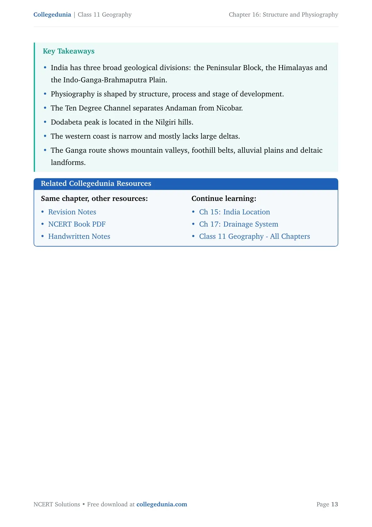
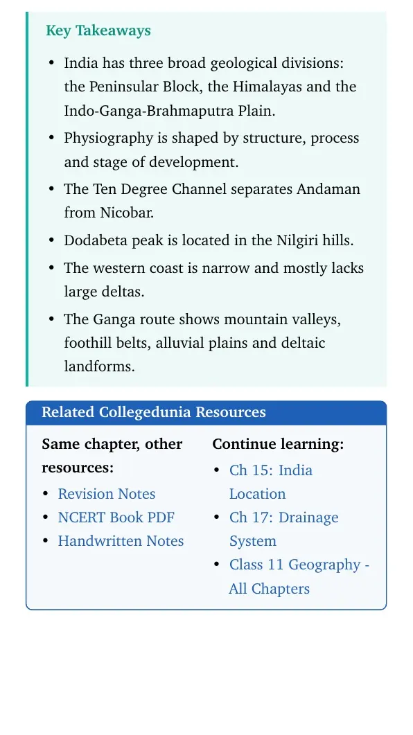
Key facts include the Ten Degree Channel, Dodabeta in the Nilgiri hills, Ladakh and the Ganga route.
Use the embedded question cards below for direct answers and expert explanations.
Student Feedback: In a Collegedunia student survey of 12,320 Class 11 Geography students before the 2026 exams, many students said this chapter becomes easier when island groups, mountain ranges and river plains are revised with a labelled India map.
Each answer in this Class 11 Geography Chapter 16 solutions PDF follows the 2026-27 NCERT exercise and keeps the wording school-exam ready.
Structure and Physiography Answer Key and Exercise Pattern
The exercise mixes direct map facts with short explanations. Students should learn the fixed place names first, then connect each place with its landform, route or process.
Exercise area
Questions
What it checks
MCQs
2 parts
Island channels and Peninsular hill ranges
Short answers
3 parts
Lakshadweep route, Ladakh cold desert and western coast deltas
Long answers
3 parts
Island comparison, river plains and the Ganga route
Project work
2 tasks
Himalayan peaks and state landform economy
The MCQ key used in the PDF is (c) Ten Degree Channel and (a) Nilgiri hills. These answers match the NCERT map facts checked during PDF preparation.
Structure and Physiography Video Lesson for Class 11
Structure and Physiography Island Groups and Coastal Plains
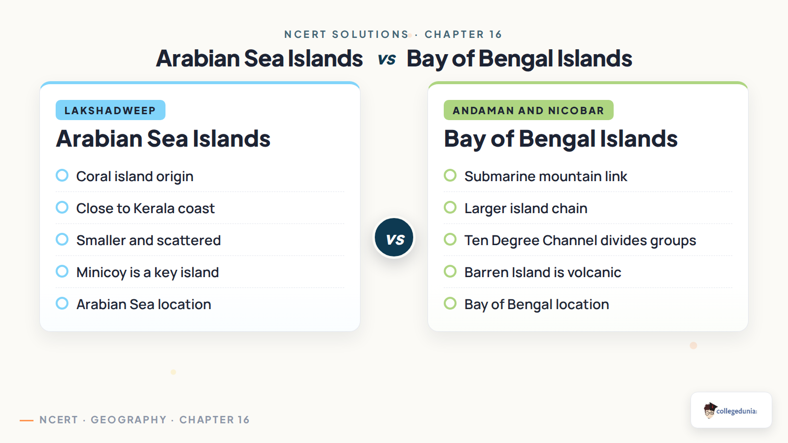
The Arabian Sea island group is mainly Lakshadweep and Minicoy. These islands lie close to the Kerala coast and are coral in origin. The Bay of Bengal group is larger and includes the Andaman and Nicobar Islands.
Ten Degree Channel: separates the Andaman group from the Nicobar group.
Lakshadweep route: students should name the western coastal plain near Kerala.
Western coast: short and swift rivers usually form estuaries, not broad deltas.
For 30-word answers, write the place name first and the geographical reason second.
Ganga Route Landforms from Badrinath to Sunderbans
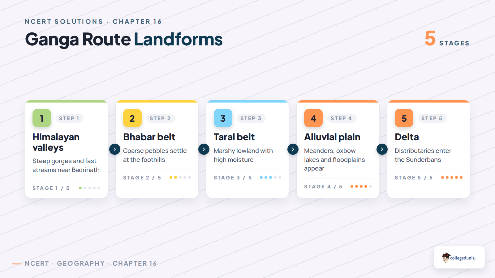
The Ganga route answer should move in order. Start in the young Himalayan mountains near Badrinath, then move through the foothill belts and the alluvial plain. End with distributaries in the Sunderbans delta.
Route stage
Landform to mention
Answer cue
Upper course
Gorges and steep valleys
Fast flow and youthful erosion
Foothills
Bhabar and Tarai
Coarse deposits, marshy belt and high moisture
Northern plain
Khadar, Bhangar and meanders
Alluvial deposition and floodplains
Lower course
Distributaries and delta
The river enters the Sunderbans region
Common Mistakes Students Make in Structure and Physiography Answers
Watch Out: The most common mistake is mixing the two island groups.
Do not place Lakshadweep in the Bay of Bengal.
Do not write Anaimalai hills for Dodabeta. The correct range is Nilgiri hills.
Do not explain western-coast deltas without naming short rivers and steep gradients.
Do not make the Himalayan peak list alphabetical. It must run west to east.
Exam tip: A map-based answer scores better when each place name has a reason beside it.
How to Use the Class 11 Geography Chapter 16 Solutions PDF
Use the PDF in three rounds. First, learn the two MCQ facts. Then practise the short answers in 30 words. Finally, revise the long answers with the table and images above.
For island questions, compare location, origin and size.
For river-plains questions, move from upper course to lower course.
For project work, keep an atlas open and write the source map used.
Quick recall: islands need comparison, plains need landform terms, and project work needs map order.
All NCERT Solutions for Class 11 Geography Chapter 16 Structure and Physiography with Step-by-Step Solutions
The cards below include every exercise question. Use Check Solution for the direct answer and Expert Solution for a second explanation.
Each card keeps the direct answer and expert explanation separate.
The MCQ card includes the checked answer key.
The project card shows how to use an atlas and a state map.
Questions
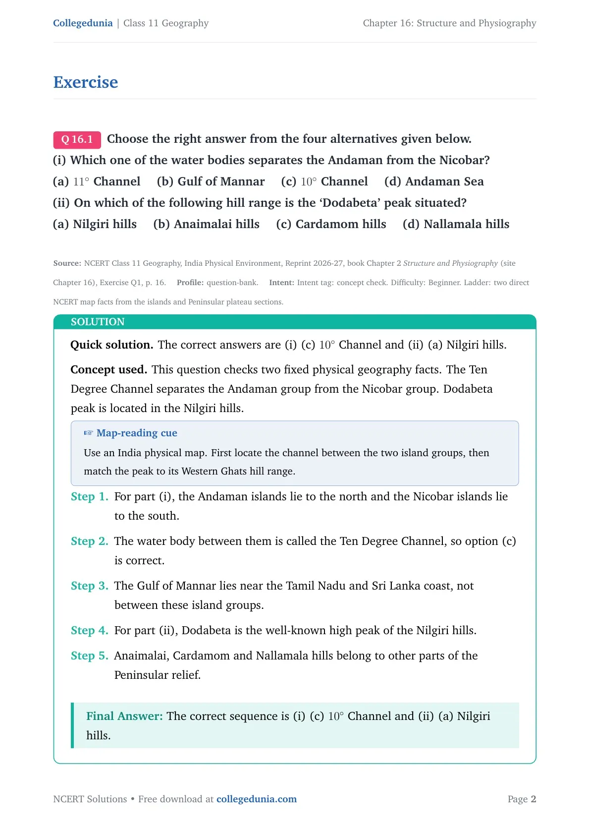
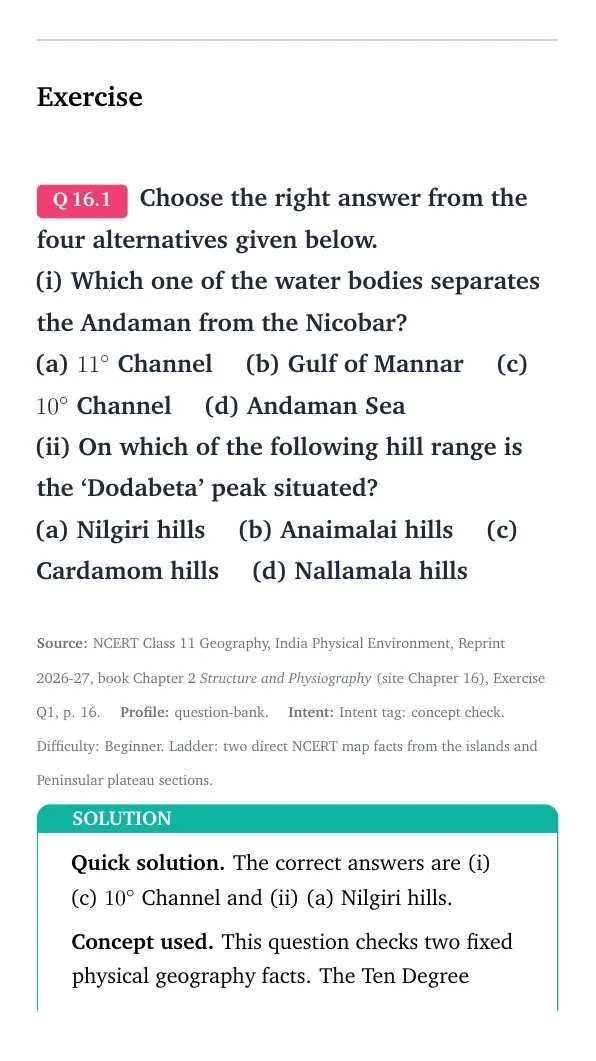
Q 16.1
Choose the right answer from the four alternatives given below.
(i) Which one of the water bodies separates the Andaman from the Nicobar?
(a) 11∘ Channel (b) Gulf of Mannar (c) 10∘ Channel (d) Andaman Sea
(ii) On which of the following hill range is the `Dodabeta' peak situated?
(a) Nilgiri hills (b) Anaimalai hills (c) Cardamom hills (d) Nallamala hills
The correct answers are (i) (c) 10∘ Channel and (ii) (a) Nilgiri hills.
Concept used. This question checks two fixed physical geography facts. The Ten Degree Channel separates the Andaman group from the Nicobar group. Dodabeta peak is located in the Nilgiri hills.
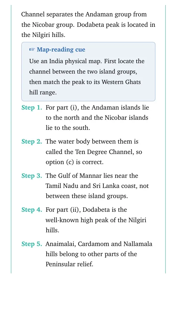
Map-reading cue
Use an India physical map. First locate the channel between the two island groups, then match the peak to its Western Ghats hill range.
For part (i), the Andaman islands lie to the north and the Nicobar islands lie to the south.
The water body between them is called the Ten Degree Channel, so option (c) is correct.
The Gulf of Mannar lies near the Tamil Nadu and Sri Lanka coast, not between these island groups.
For part (ii), Dodabeta is the well-known high peak of the Nilgiri hills.
Anaimalai, Cardamom and Nallamala hills belong to other parts of the Peninsular relief.
The correct sequence is (i) (c) 10∘ Channel and (ii) (a) Nilgiri hills.
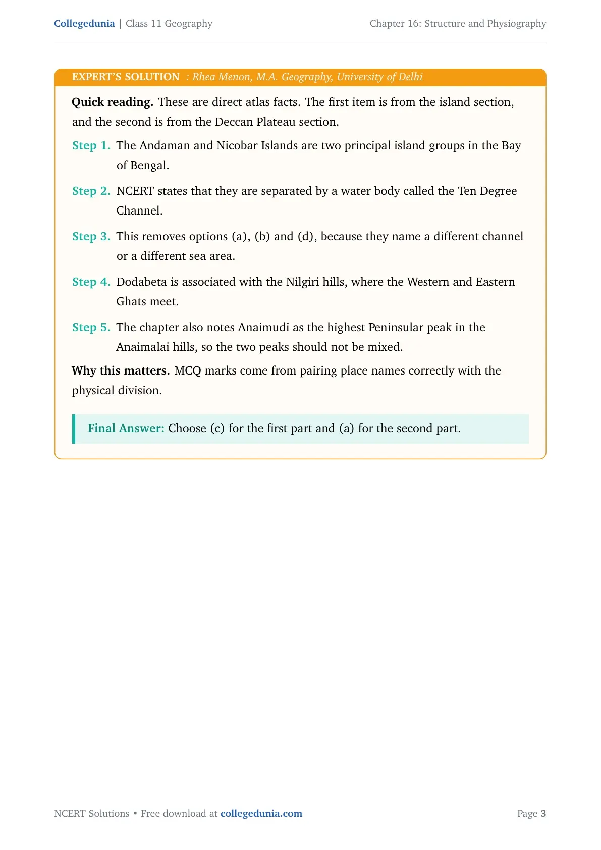
RM
Rhea Menon
M.A. Geography, University of Delhi
Verified Expert
Quick reading. These are direct atlas facts. The first item is from the island section, and the second is from the Deccan Plateau section.
The Andaman and Nicobar Islands are two principal island groups in the Bay of Bengal.
NCERT states that they are separated by a water body called the Ten Degree Channel.
This removes options (a), (b) and (d), because they name a different channel or a different sea area.
Dodabeta is associated with the Nilgiri hills, where the Western and Eastern Ghats meet.
The chapter also notes Anaimudi as the highest Peninsular peak in the Anaimalai hills, so the two peaks should not be mixed.
Why this matters. MCQ marks come from pairing place names correctly with the physical division.
Choose (c) for the first part and (a) for the second part.
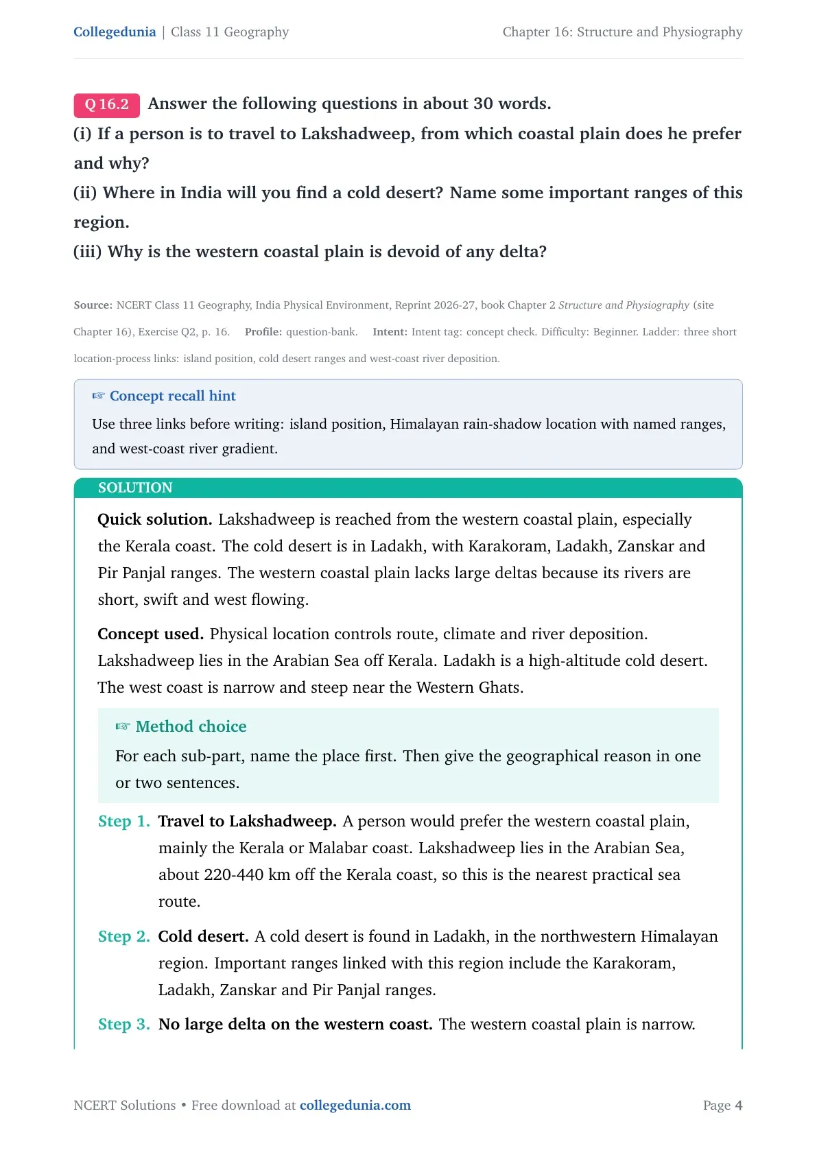
Q 16.2
Answer the following questions in about 30 words.
(i) If a person is to travel to Lakshadweep, from which coastal plain does he prefer and why?
(ii) Where in India will you find a cold desert? Name some important ranges of this region.
(iii) Why is the western coastal plain is devoid of any delta?
Lakshadweep is reached from the western coastal plain, especially the Kerala coast. The cold desert is in Ladakh, with Karakoram, Ladakh, Zanskar and Pir Panjal ranges. The western coastal plain lacks large deltas because its rivers are short, swift and west flowing.
Concept used. Physical location controls route, climate and river deposition. Lakshadweep lies in the Arabian Sea off Kerala. Ladakh is a high-altitude cold desert. The west coast is narrow and steep near the Western Ghats.
Method choice
For each sub-part, name the place first. Then give the geographical reason in one or two sentences.
Travel to Lakshadweep. A person would prefer the western coastal plain, mainly the Kerala or Malabar coast. Lakshadweep lies in the Arabian Sea, about 220-440 km off the Kerala coast, so this is the nearest practical sea route.
Cold desert. A cold desert is found in Ladakh, in the northwestern Himalayan region. Important ranges linked with this region include the Karakoram, Ladakh, Zanskar and Pir Panjal ranges.
No large delta on the western coast. The western coastal plain is narrow. The Western Ghats stand close to the Arabian Sea, so west-flowing rivers are short and have steep gradients. They flow fast, carry sediment to the sea quickly and commonly form estuaries instead of broad deltas.
Lakshadweep is best approached from the western coastal plain near Kerala. Ladakh is India's cold desert and is linked with the Karakoram, Ladakh, Zanskar and Pir Panjal ranges. The western coast lacks large deltas because short, swift rivers have little space and time for deposition.
KS
Kabir Sanyal
M.Sc Geography, JNU
Verified Expert
Structural observation. All three answers become simple when the locations are organised from west to east and north to south.
Lakshadweep is not off the eastern coast. It is an Arabian Sea island group near Kerala.
The Malabar coast is therefore the preferred coastal plain for travel.
Ladakh is dry because it lies in a high, rain-shadow area beyond the main monsoon reach.
Its landscape is linked with the Karakoram, Ladakh, Zanskar and Pir Panjal ranges.
The western coastal plain is different from the eastern coastal plain.
On the east coast, long rivers such as the Mahanadi, Godavari, Krishna and Kaveri build deltas.
On the west coast, rivers are shorter and the coast is more submerged and narrow.
This is why western rivers generally form estuaries, not large deltas.
Why this matters. The answer compares island position, mountain climate and coastal river behaviour together.
Use the Kerala side for Lakshadweep, name Ladakh with the Karakoram, Ladakh, Zanskar and Pir Panjal ranges as the cold desert region, and explain the no-delta condition through short west-flowing rivers and a narrow submerged coast.
Q 16.3
Answer the following questions in not more than 125 words.
(i) Make a comparison of the island groups of the Arabian Sea and the Bay of Bengal.
(ii) What are the important geomorphological features found in the river valley plains?
(iii) If you move from Badrinath to Sunderbans delta along the course of the river Ganga, what major geomorphological features will you come across?
Concept: physiographic comparison and fluvial landforms. Arabian Sea islands are coral Lakshadweep-Minicoy, while Bay of Bengal islands are larger Andaman-Nicobar. River plains show Bhabar, Tarai, alluvial plains, meanders, oxbow lakes, braided channels and deltas; the Ganga route moves from Himalayan valleys to the Sunderbans delta.
Concept used. Physiography studies landforms through structure, process and stage of development. Island origin, river deposition and the Ganga route show how different processes shape relief.
Method choice
Write this answer with headings. It helps separate islands, plains and the Ganga route.
(i) Arabian Sea and Bay of Bengal islands.
The Arabian Sea island group includes Lakshadweep and Minicoy.
These islands lie off the Kerala coast and are built mainly of coral deposits.
They are smaller and more scattered, with only some islands inhabited.
The Bay of Bengal island group includes the Andaman and Nicobar Islands.
They are more numerous and form an elevated part of submarine mountains.
Some smaller islands are volcanic. Barren Island is India's only active volcano.
The Ten Degree Channel separates the Andaman group from the Nicobar group.
(ii) River valley plains.
The northern plains are built by alluvial deposits of the Indus, Ganga and Brahmaputra systems. Important features include Bhabar, Tarai, Bhangar, Khadar, sand bars, meanders, oxbow lakes, braided channels, riverine islands and large deltas.
(iii) From Badrinath to the Sunderbans delta.
Near Badrinath, the Ganga system flows through young Himalayan mountains with gorges, steep valleys and fast-flowing streams. At the foothills, it enters the Bhabar and Tarai belts. Farther south, it crosses the alluvial northern plain with floodplains, meanders, oxbow lakes and braided channels. Near the mouth, it forms distributaries and the Sunderbans delta.
Arabian Sea islands such as Lakshadweep and Minicoy are small coral islands off Kerala, while Bay of Bengal islands such as Andaman and Nicobar are larger submarine and volcanic groups. River valley plains show Bhabar, Tarai, Bhangar, Khadar, meanders, oxbow lakes, braided channels and deltas. Along the Ganga, landforms change from Himalayan valleys to foothills, alluvial plains and the Sunderbans delta.
AR
Ananya Rao
M.A. Geography, Banaras Hindu University
Verified Expert
Applied angle. The question asks for three comparisons. Keep each one tied to a map location.
Arabian Sea islands are closer to the western coast and are mainly coral in origin.
Bay of Bengal islands are a larger chain between about 6∘N-14∘N and 92∘E-94∘E.
Andaman and Nicobar include submarine mountain links, volcanic features and equatorial vegetation.
Lakshadweep and Minicoy are smaller coral islands, separated into groups by channels.
River valley plains show both erosional and depositional landforms.
The main NCERT examples are Bhabar, Tarai, Bhangar, Khadar, sand bars, meanders, oxbow lakes and braided channels.
While travelling along the Ganga from Badrinath, the first visible landforms are mountain valleys and gorges.
The river then enters the foothill belts and the wide northern plain.
Toward Bengal, the river breaks into distributaries and enters the Sunderbans delta.
Why this matters. A good geography answer names landforms in the order in which they appear on the ground.
State the island contrast by location and origin, list the river-plain features such as Bhabar, Tarai, Bhangar, Khadar, meanders and deltas, and trace the Ganga route from Himalayan valleys through foothills and alluvial plains to the Sunderbans delta.
Q 16.4
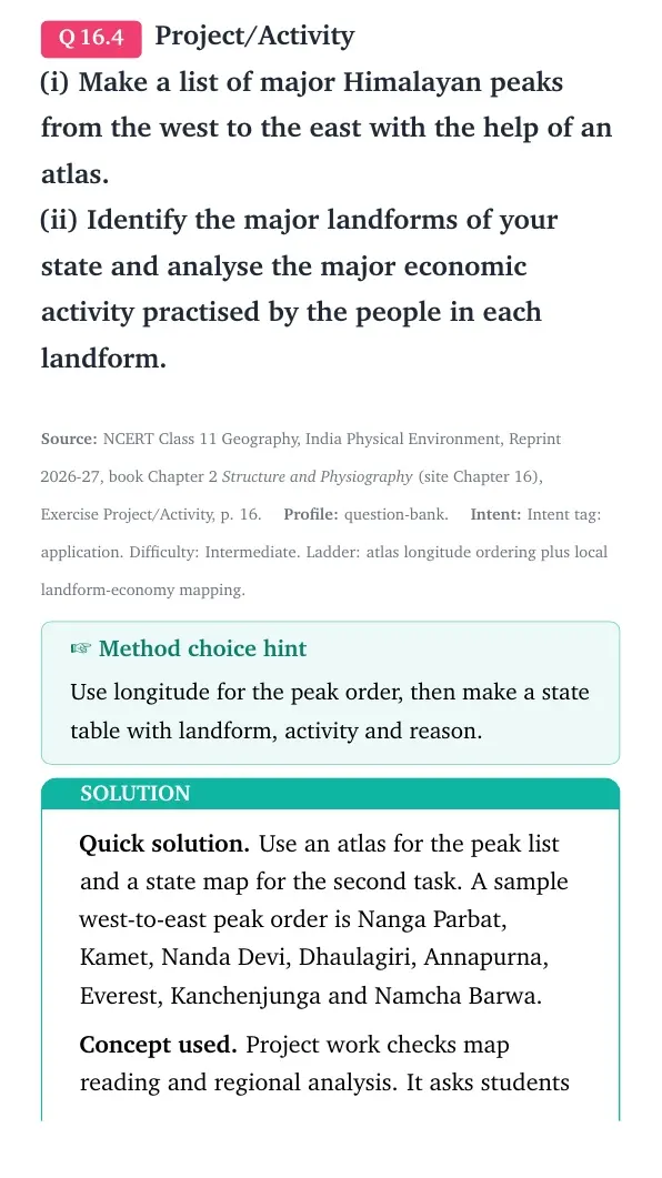
Project/Activity
(i) Make a list of major Himalayan peaks from the west to the east with the help of an atlas.
(ii) Identify the major landforms of your state and analyse the major economic activity practised by the people in each landform.
Use an atlas for the peak list and a state map for the second task. A sample west-to-east peak order is Nanga Parbat, Kamet, Nanda Devi, Dhaulagiri, Annapurna, Everest, Kanchenjunga and Namcha Barwa.
Concept used. Project work checks map reading and regional analysis. It asks students to arrange mountain peaks spatially and then link landforms with occupations in their own state.
Trap warning
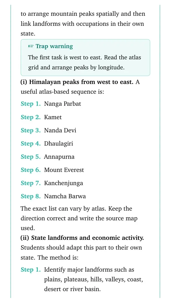
The first task is west to east. Read the atlas grid and arrange peaks by longitude.
(i) Himalayan peaks from west to east. A useful atlas-based sequence is:
Nanga Parbat
Kamet
Nanda Devi
Dhaulagiri
Annapurna
Mount Everest
Kanchenjunga
Namcha Barwa
The exact list can vary by atlas. Keep the direction correct and write the source map used.
(ii) State landforms and economic activity. Students should adapt this part to their own state. The method is:
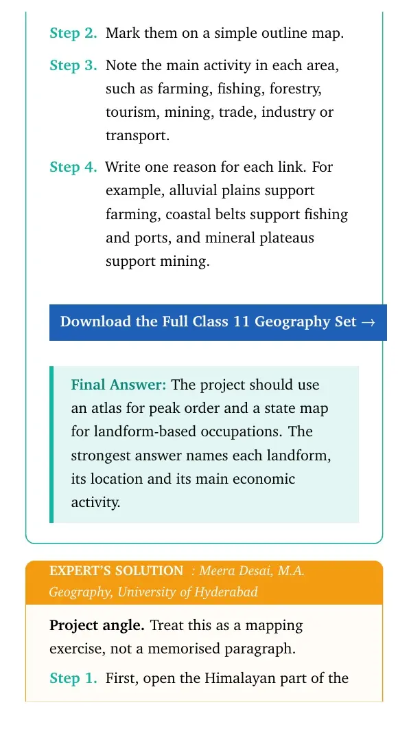
Identify major landforms such as plains, plateaus, hills, valleys, coast, desert or river basin.
Mark them on a simple outline map.
Note the main activity in each area, such as farming, fishing, forestry, tourism, mining, trade, industry or transport.
Write one reason for each link. For example, alluvial plains support farming, coastal belts support fishing and ports, and mineral plateaus support mining.
Download the Full Class 11 Geography Set
The project should use an atlas for peak order and a state map for landform-based occupations. The strongest answer names each landform, its location and its main economic activity.
MD
Meera Desai
M.A. Geography, University of Hyderabad
Verified Expert
Project angle. Treat this as a mapping exercise, not a memorised paragraph.
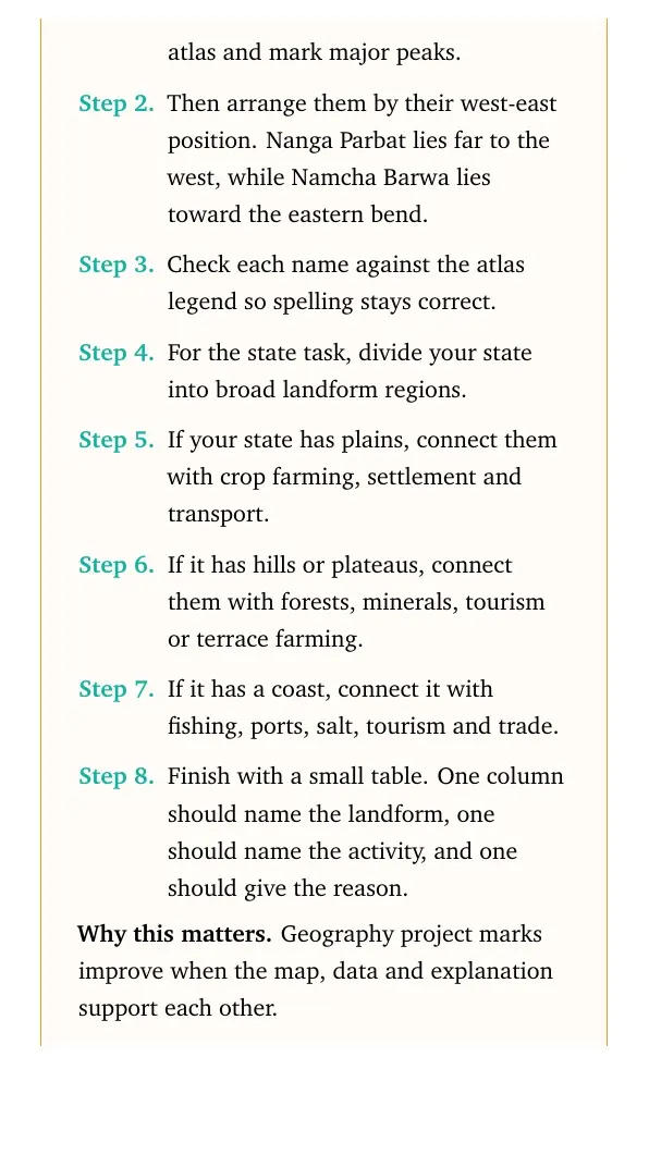
First, open the Himalayan part of the atlas and mark major peaks.
Then arrange them by their west-east position. Nanga Parbat lies far to the west, while Namcha Barwa lies toward the eastern bend.
Check each name against the atlas legend so spelling stays correct.
For the state task, divide your state into broad landform regions.
If your state has plains, connect them with crop farming, settlement and transport.
If it has hills or plateaus, connect them with forests, minerals, tourism or terrace farming.
If it has a coast, connect it with fishing, ports, salt, tourism and trade.
Finish with a small table. One column should name the landform, one should name the activity, and one should give the reason.
Why this matters. Geography project marks improve when the map, data and explanation support each other.
Make a west-to-east Himalayan peak list from an atlas, then analyse your own state's plains, plateaus, hills, coast or desert through the economic activities they support.
Structure and Physiography Class 11 NCERT Solutions FAQs
Ques. How many questions are solved in Class 11 Geography Chapter 16 Structure and Physiography?
Ans. The PDF solves all 4 exercise and project groups from the 2026-27 NCERT Class 11 Geography Chapter 16 Structure and Physiography textbook.
Ques. Which channel separates the Andaman and Nicobar island groups?
Ans. The Ten Degree Channel separates the Andaman group from the Nicobar group.
Ques. Why does the western coastal plain mostly lack large deltas?
Ans. The western coastal plain is narrow, and the Western Ghats stand close to the Arabian Sea. Short, swift rivers usually form estuaries instead of broad deltas.
Ques. Are these Structure and Physiography solutions useful for the 2026-27 school exam?
Ans. Yes. The answers follow the latest 2026-27 NCERT exercise and explain island groups, Ladakh, coastal plains, river plains and project work in Class 11 exam language.








Comments