The NCERT Solutions for Class 11 Geography Chapter 18 Climate cover every exercise question from the latest 2026-27 NCERT book. The chapter explains the Tropic of Cancer, ITCZ, monsoon winds, Mawsynram rainfall, western disturbances and the seasons used by IMD.
The PDF solves 4 exercise groups from Climate.
The MCQ key was rechecked after conflicting public keys for the rainfall-area item.
Use the embedded question cards below for direct answers and expert explanations.
Student Feedback: In a Collegedunia student survey of 12,860 Class 11 Geography students before the 2026 exams, many students said Climate becomes easier when monsoon stages, rainfall zones and seasonal terms are revised together.
Each answer in this Class 11 Geography Chapter 18 solutions PDF follows the 2026-27 NCERT exercise and keeps the wording school-exam ready.
The exercise starts with direct MCQs and then asks short and long explanation questions. Students should first learn the fixed facts, then connect each answer with a clear climate reason.
Exercise area
Questions
What it checks
MCQs
4 parts
Tropic of Cancer, low rainfall area, monsoon withdrawal and Coriolis force
30-word answers
3 parts
ITCZ, burst of monsoon, Mawsynram and western disturbances
125-word answers
2 parts
Regional climate variation and IMD seasons
Project work
1 activity
Outline-map marking for winter rain, monsoon winds, January temperature and the 100 cm isohyet
The MCQ key used in the PDF is (c), (b), (d) and (a). These options match the repaired answer-key check for the chapter.
The Inter Tropical Convergence Zone, or ITCZ, is the low-pressure belt where trade winds meet. In summer it shifts north over the Ganga plain. This shift helps draw moist south-west monsoon winds into India.
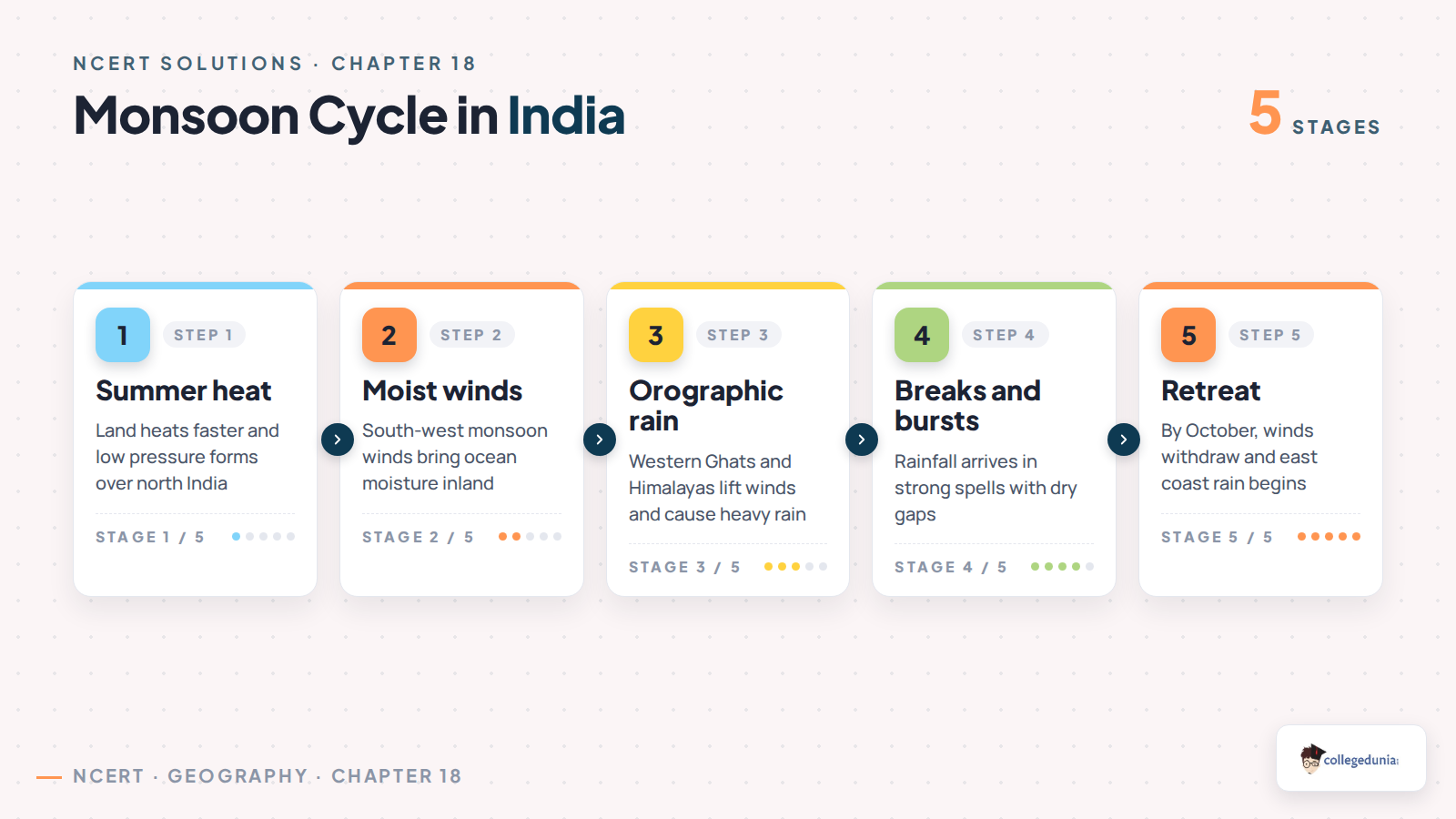
Summer heating: land heats faster than the sea and creates low pressure.
Moist winds: winds from the Arabian Sea and Bay of Bengal bring water vapour.
Burst of monsoon: rainfall begins suddenly after the first strong monsoon spell.
Retreat: by October the monsoon weakens and withdraws from north-west India.
For short answers, define the climate term first and give one India-based example next.
Rainfall Distribution and Mawsynram Answer Points
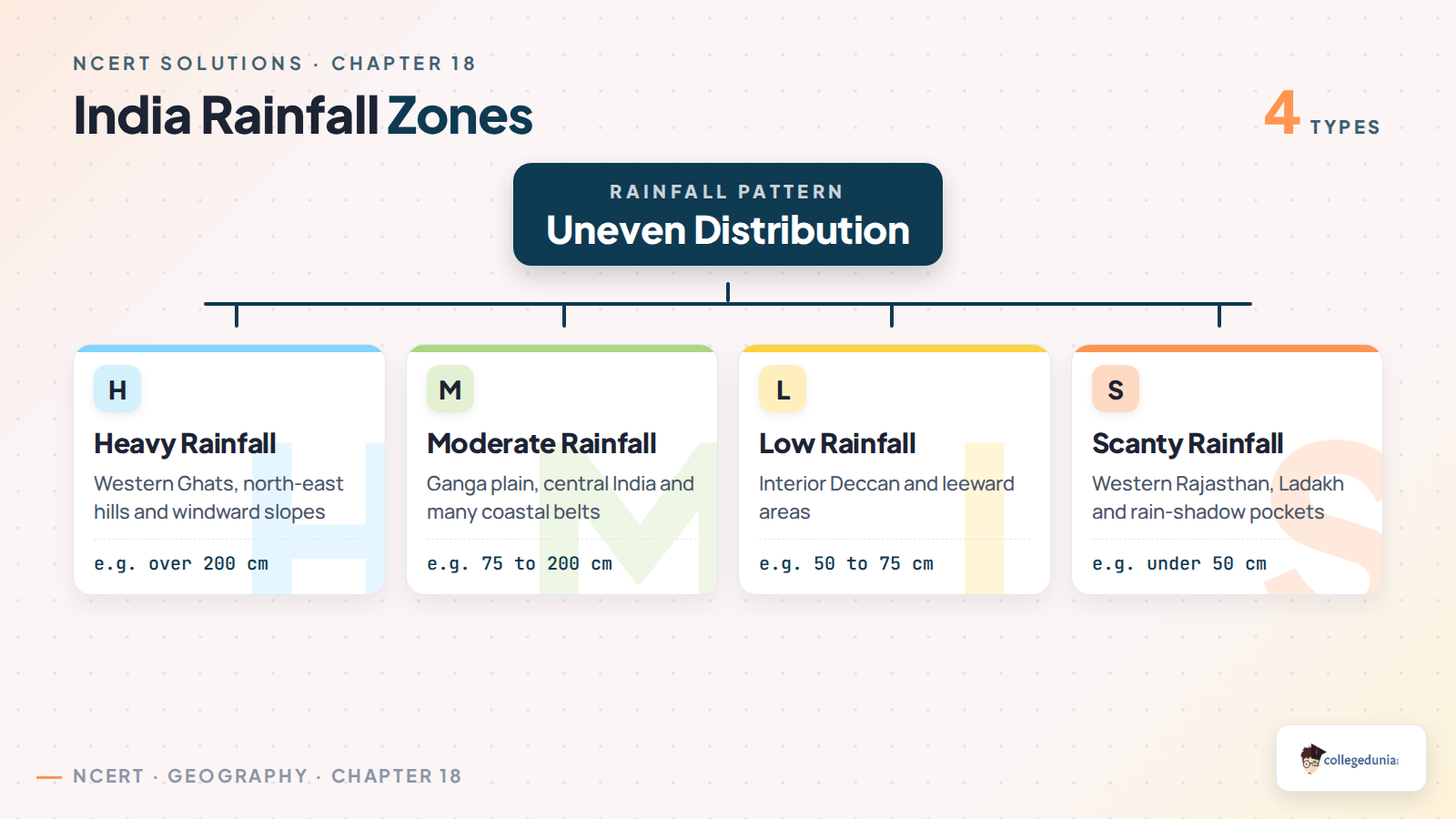
Rainfall in India is uneven because relief, distance from the sea and wind direction change from region to region. Mawsynram gets very heavy rain because moisture-laden Bay of Bengal winds are forced up the Khasi hills.
Rainfall area
Places to remember
Answer cue
Heavy rainfall
Western Ghats and north-east hills
Windward slope and orographic rain
Moderate rainfall
Ganga plain and central India
Monsoon branch weakens inland
Low rainfall
Interior Deccan and leeward side
Rain-shadow effect
Scanty rainfall
Western Rajasthan and Ladakh
Aridity, distance and mountain barrier
Regional Temperature and IMD Seasons
The chapter asks why India does not have one uniform climate. Latitude, altitude, pressure, winds, distance from the sea, ocean currents and relief all change temperature and rainfall.
IMD season
Usual months
Main climate feature
Cold weather season
December to February
Clear skies, low temperature and western disturbances in north-west India
Hot weather season
March to May
High temperature, loo and pre-monsoon showers in some regions
South-west monsoon
June to September
Most annual rainfall reaches India during this season
Retreating monsoon
October to November
Withdrawal of winds and rain over the Tamil Nadu coast
Exam tip: A 125-word answer scores better when each factor has one named Indian example.
Western Disturbances and Retreating Monsoon
Western cyclonic disturbances form near the Mediterranean region and move into north-west India during winter. They bring light rain in the plains and snow in the Himalayas. This moisture supports wheat in parts of north India.
They are strongest in the cold weather season.
They affect Punjab, Haryana, western Uttar Pradesh and Himalayan areas.
They are different from the retreating monsoon, which gives rain to the east coast.
Quick recall: western disturbances help winter crops, while retreating monsoon rain is important for the Tamil Nadu coast.
Common Mistakes Students Make in Climate Answers
Watch Out: Most wrong answers come from mixing monsoon stages or rainfall regions.
Do not write Himalayas for the Tropic of Cancer MCQ. The correct answer is Madhya Pradesh.
Do not confuse low rainfall with heavy rainfall regions. The drier belt is the Deccan plateau or western Rajasthan.
Do not describe Mawsynram without naming the Khasi hills and Bay of Bengal branch.
Do not merge western disturbances with south-west monsoon winds. Their seasons and source regions differ.
Practice cue: Write climate answers with this order: term, season, wind direction, region and example.
How to Use the Class 11 Geography Chapter 18 Solutions PDF
Use the PDF in three rounds. First, learn the four MCQ answers. Second, practise the 30-word definitions. Third, write the two 125-word answers from memory with the tables above.
For ITCZ, draw a simple north-shift note in summer.
For Mawsynram, connect rainfall with uplift along the Khasi hills.
For IMD seasons, keep month ranges and one climate feature together.
Revision habit: Mark every answer with one place name. Geography answers become stronger when facts stay mapped.
All NCERT Solutions for Class 11 Geography Chapter 18 Climate with Step-by-Step Solutions
The cards below include every exercise question. Use Check Solution for the direct answer and Expert Solution for a second explanation.
Each card keeps the direct answer and expert explanation separate.
The MCQ card includes the checked answer key.
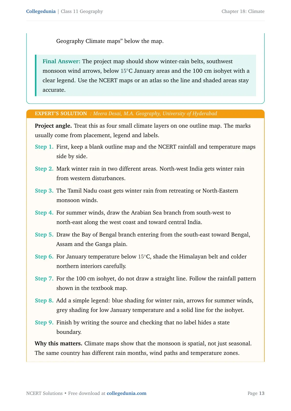
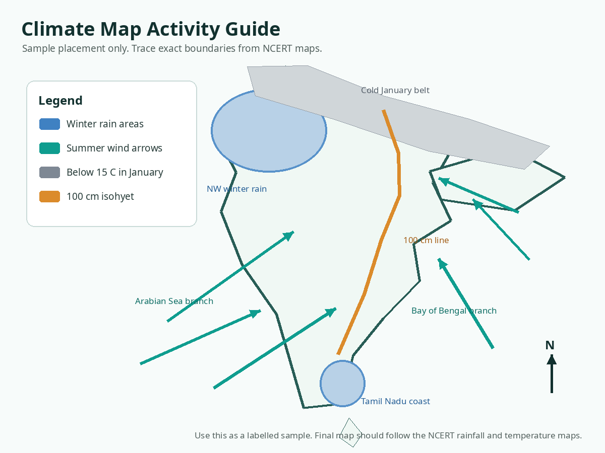
The project card includes a labelled sample map guide for the outline-map activity.
Questions
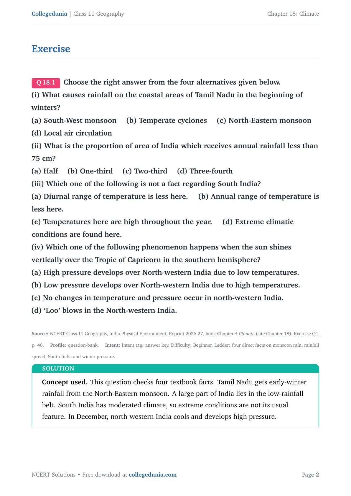
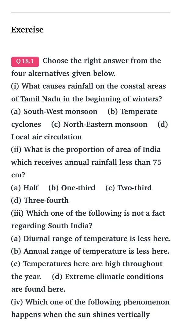
Q 18.1
Choose the right answer from the four alternatives given below.
(i) What causes rainfall on the coastal areas of Tamil Nadu in the beginning of winters?
(a) South-West monsoon (b) Temperate cyclones (c) North-Eastern monsoon (d) Local air circulation
(ii) What is the proportion of area of India which receives annual rainfall less than 75 cm?
(a) Half (b) One-third (c) Two-third (d) Three-fourth
(iii) Which one of the following is not a fact regarding South India?
(a) Diurnal range of temperature is less here. (b) Annual range of temperature is less here.
(c) Temperatures here are high throughout the year. (d) Extreme climatic conditions are found here.
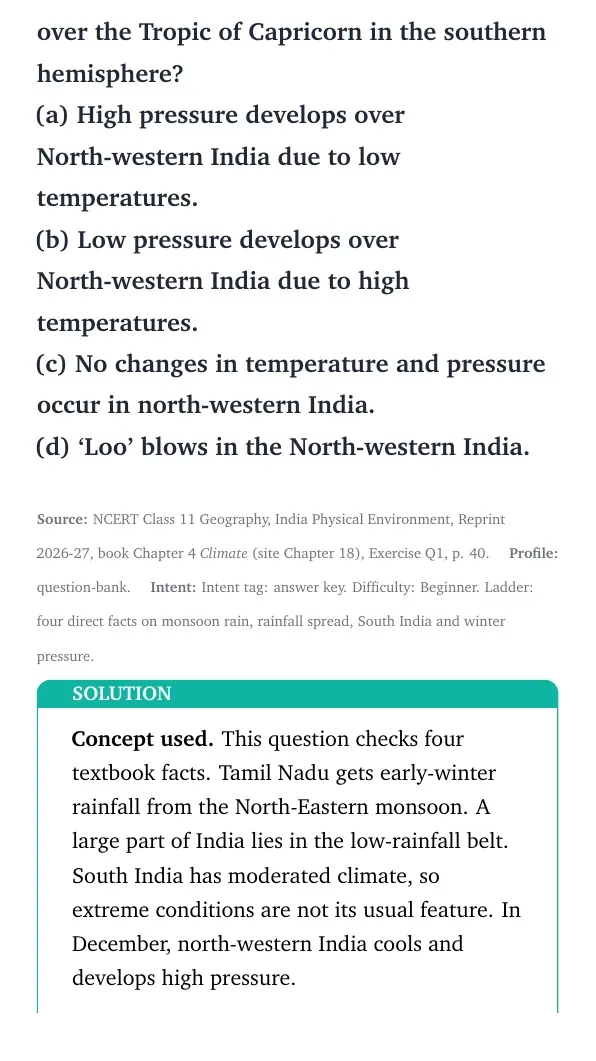
(iv) Which one of the following phenomenon happens when the sun shines vertically over the Tropic of Capricorn in the southern hemisphere?
(a) High pressure develops over North-western India due to low temperatures.
(b) Low pressure develops over North-western India due to high temperatures.
(c) No changes in temperature and pressure occur in north-western India.
(d) `Loo' blows in the North-western India.
Concept used. This question checks four textbook facts. Tamil Nadu gets early-winter rainfall from the North-Eastern monsoon. A large part of India lies in the low-rainfall belt. South India has moderated climate, so extreme conditions are not its usual feature. In December, north-western India cools and develops high pressure.
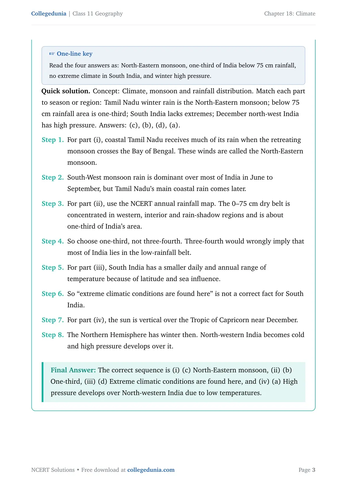
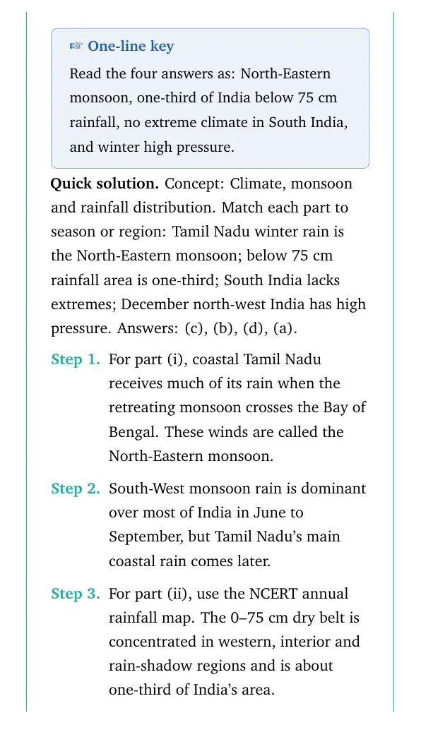
One-line key
Read the four answers as: North-Eastern monsoon, one-third of India below 75 cm rainfall, no extreme climate in South India, and winter high pressure.
Concept: Climate, monsoon and rainfall distribution. Match each part to season or region: Tamil Nadu winter rain is the North-Eastern monsoon; below 75 cm rainfall area is one-third; South India lacks extremes; December north-west India has high pressure. Answers: (c), (b), (d), (a).
For part (i), coastal Tamil Nadu receives much of its rain when the retreating monsoon crosses the Bay of Bengal. These winds are called the North-Eastern monsoon.
South-West monsoon rain is dominant over most of India in June to September, but Tamil Nadu's main coastal rain comes later.
For part (ii), use the NCERT annual rainfall map. The 0–75 cm dry belt is concentrated in western, interior and rain-shadow regions and is about one-third of India's area.
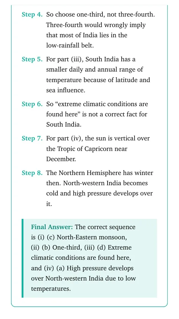
So choose one-third, not three-fourth. Three-fourth would wrongly imply that most of India lies in the low-rainfall belt.
For part (iii), South India has a smaller daily and annual range of temperature because of latitude and sea influence.
So ``extreme climatic conditions are found here'' is not a correct fact for South India.
For part (iv), the sun is vertical over the Tropic of Capricorn near December.
The Northern Hemisphere has winter then. North-western India becomes cold and high pressure develops over it.
The correct sequence is (i) (c) North-Eastern monsoon, (ii) (b) One-third, (iii) (d) Extreme climatic conditions are found here, and (iv) (a) High pressure develops over North-western India due to low temperatures.
RM
Rhea Menon
M.A. Geography, University of Delhi
Verified Expert
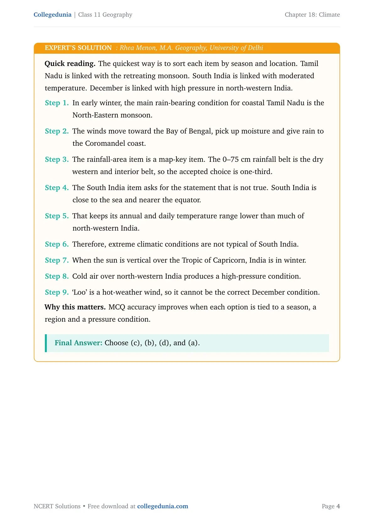
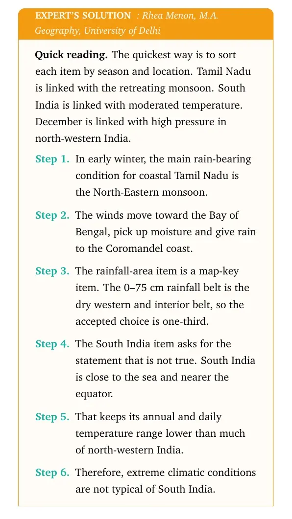
Quick reading. The quickest way is to sort each item by season and location. Tamil Nadu is linked with the retreating monsoon. South India is linked with moderated temperature. December is linked with high pressure in north-western India.
In early winter, the main rain-bearing condition for coastal Tamil Nadu is the North-Eastern monsoon.
The winds move toward the Bay of Bengal, pick up moisture and give rain to the Coromandel coast.
The rainfall-area item is a map-key item. The 0–75 cm rainfall belt is the dry western and interior belt, so the accepted choice is one-third.
The South India item asks for the statement that is not true. South India is close to the sea and nearer the equator.
That keeps its annual and daily temperature range lower than much of north-western India.
Therefore, extreme climatic conditions are not typical of South India.
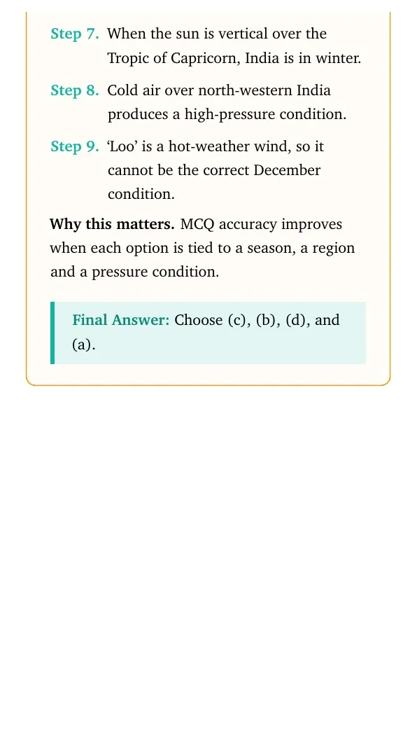
When the sun is vertical over the Tropic of Capricorn, India is in winter.
Cold air over north-western India produces a high-pressure condition.
`Loo' is a hot-weather wind, so it cannot be the correct December condition.
Why this matters. MCQ accuracy improves when each option is tied to a season, a region and a pressure condition.
Choose (c), (b), (d), and (a).
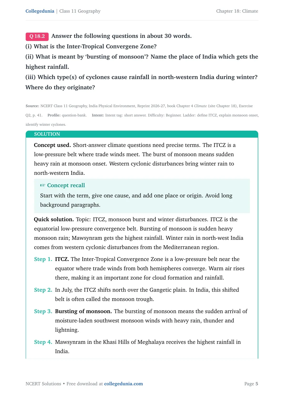
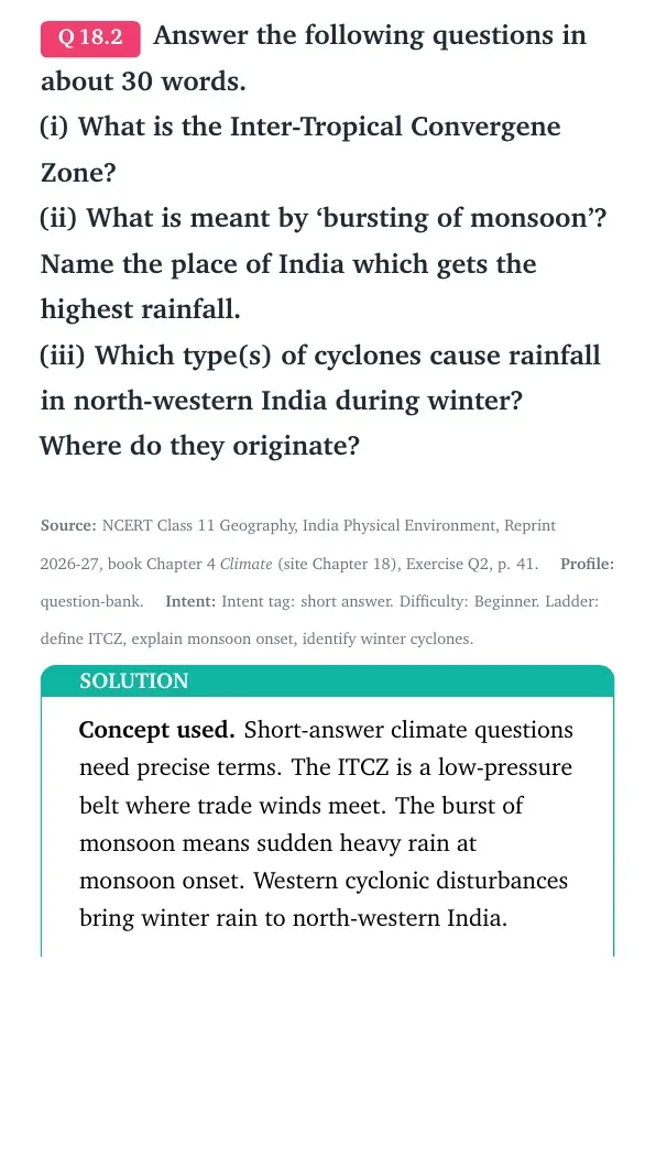
Q 18.2
Answer the following questions in about 30 words.
(i) What is the Inter-Tropical Convergene Zone?
(ii) What is meant by `bursting of monsoon'? Name the place of India which gets the highest rainfall.
(iii) Which type(s) of cyclones cause rainfall in north-western India during winter? Where do they originate?
Concept used. Short-answer climate questions need precise terms. The ITCZ is a low-pressure belt where trade winds meet. The burst of monsoon means sudden heavy rain at monsoon onset. Western cyclonic disturbances bring winter rain to north-western India.
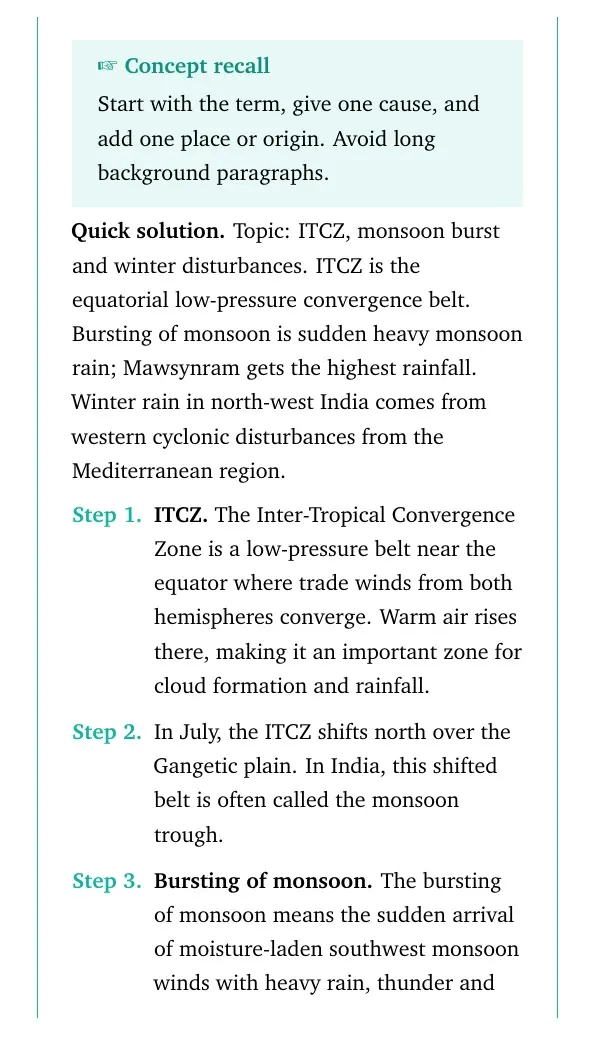
Concept recall
Start with the term, give one cause, and add one place or origin. Avoid long background paragraphs.
Topic: ITCZ, monsoon burst and winter disturbances. ITCZ is the equatorial low-pressure convergence belt. Bursting of monsoon is sudden heavy monsoon rain; Mawsynram gets the highest rainfall. Winter rain in north-west India comes from western cyclonic disturbances from the Mediterranean region.
ITCZ. The Inter-Tropical Convergence Zone is a low-pressure belt near the equator where trade winds from both hemispheres converge. Warm air rises there, making it an important zone for cloud formation and rainfall.
In July, the ITCZ shifts north over the Gangetic plain. In India, this shifted belt is often called the monsoon trough.
Bursting of monsoon. The bursting of monsoon means the sudden arrival of moisture-laden southwest monsoon winds with heavy rain, thunder and lightning.
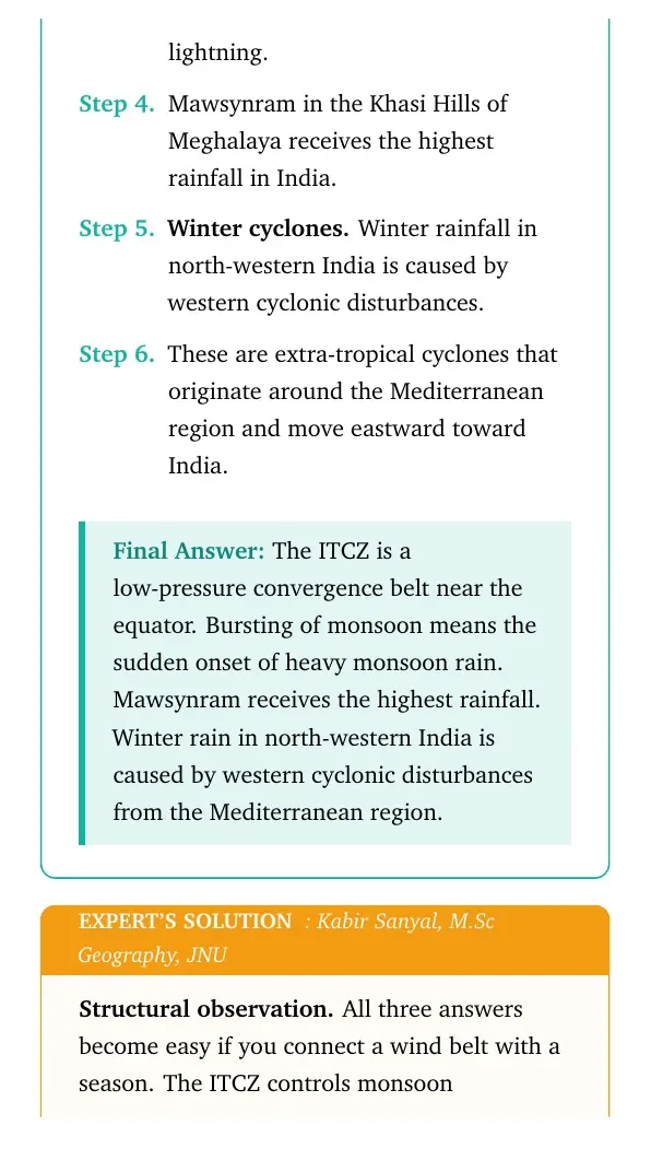
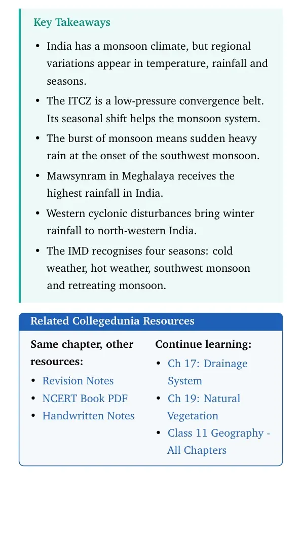
Mawsynram in the Khasi Hills of Meghalaya receives the highest rainfall in India.
Winter cyclones. Winter rainfall in north-western India is caused by western cyclonic disturbances.
These are extra-tropical cyclones that originate around the Mediterranean region and move eastward toward India.
The ITCZ is a low-pressure convergence belt near the equator. Bursting of monsoon means the sudden onset of heavy monsoon rain. Mawsynram receives the highest rainfall. Winter rain in north-western India is caused by western cyclonic disturbances from the Mediterranean region.
KS
Kabir Sanyal
M.Sc Geography, JNU
Verified Expert
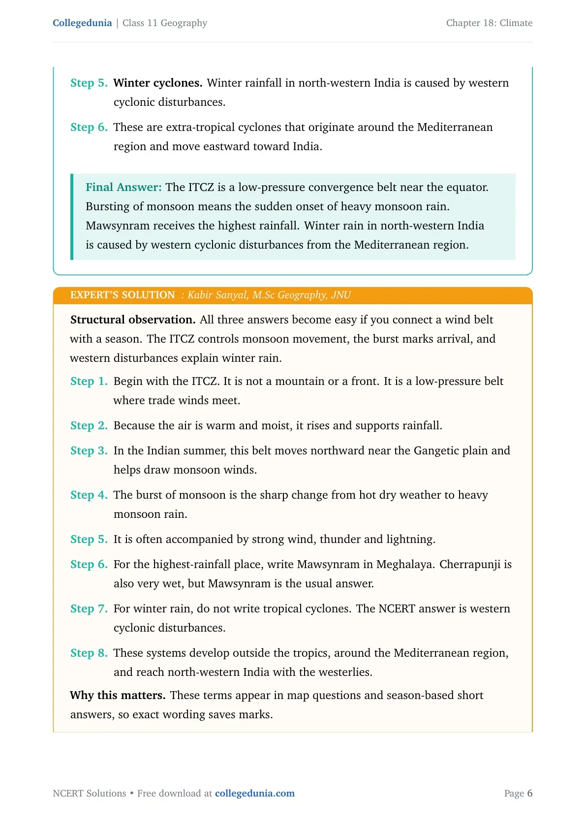
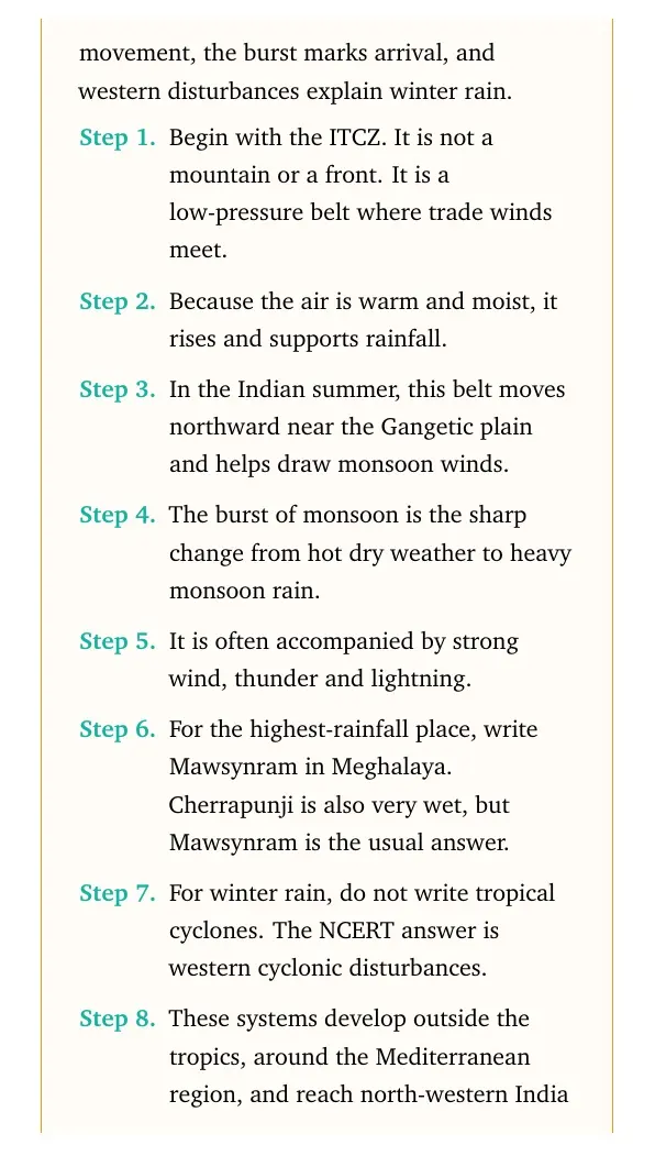
Structural observation. All three answers become easy if you connect a wind belt with a season. The ITCZ controls monsoon movement, the burst marks arrival, and western disturbances explain winter rain.
Begin with the ITCZ. It is not a mountain or a front. It is a low-pressure belt where trade winds meet.
Because the air is warm and moist, it rises and supports rainfall.
In the Indian summer, this belt moves northward near the Gangetic plain and helps draw monsoon winds.
The burst of monsoon is the sharp change from hot dry weather to heavy monsoon rain.
It is often accompanied by strong wind, thunder and lightning.
For the highest-rainfall place, write Mawsynram in Meghalaya. Cherrapunji is also very wet, but Mawsynram is the usual answer.
For winter rain, do not write tropical cyclones. The NCERT answer is western cyclonic disturbances.
These systems develop outside the tropics, around the Mediterranean region, and reach north-western India with the westerlies.
Why this matters. These terms appear in map questions and season-based short answers, so exact wording saves marks.
ITCZ: equatorial low-pressure convergence belt. Bursting of monsoon: sudden heavy monsoon onset. Highest rainfall: Mawsynram. Winter rain system: western cyclonic disturbances from the Mediterranean region.
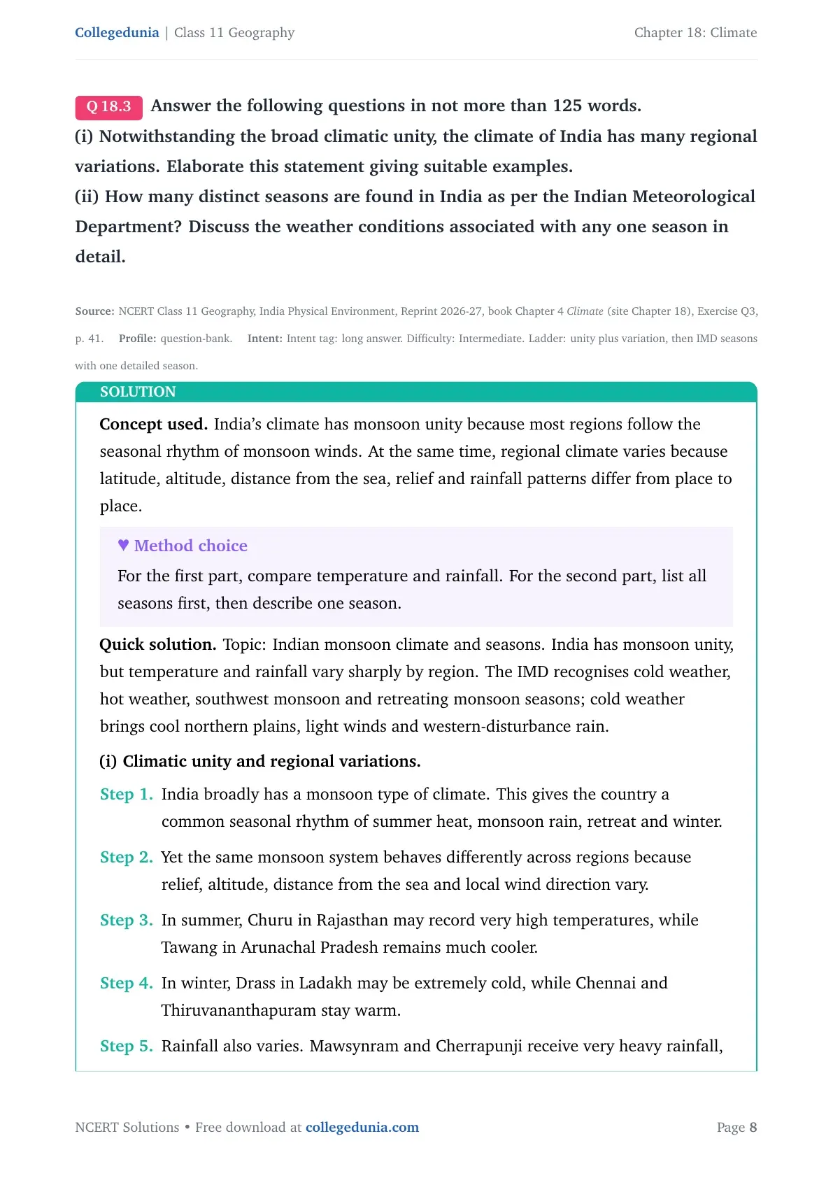
Q 18.3
Answer the following questions in not more than 125 words.
(i) Notwithstanding the broad climatic unity, the climate of India has many regional variations. Elaborate this statement giving suitable examples.
(ii) How many distinct seasons are found in India as per the Indian Meteorological Department? Discuss the weather conditions associated with any one season in detail.
Concept used. India's climate has monsoon unity because most regions follow the seasonal rhythm of monsoon winds. At the same time, regional climate varies because latitude, altitude, distance from the sea, relief and rainfall patterns differ from place to place.
Method choice
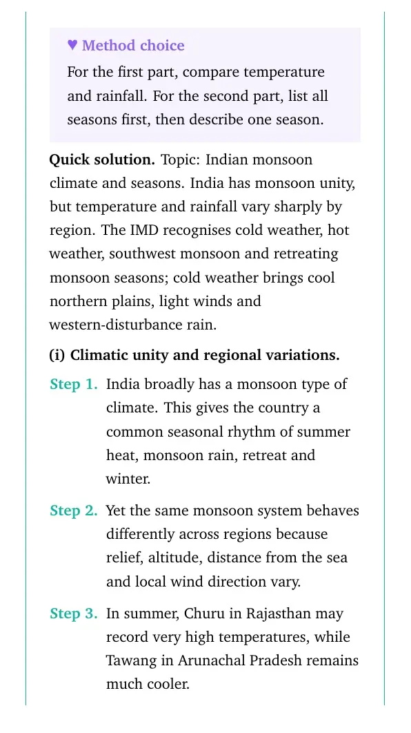
For the first part, compare temperature and rainfall. For the second part, list all seasons first, then describe one season.
Topic: Indian monsoon climate and seasons. India has monsoon unity, but temperature and rainfall vary sharply by region. The IMD recognises cold weather, hot weather, southwest monsoon and retreating monsoon seasons; cold weather brings cool northern plains, light winds and western-disturbance rain.
(i) Climatic unity and regional variations.
India broadly has a monsoon type of climate. This gives the country a common seasonal rhythm of summer heat, monsoon rain, retreat and winter.
Yet the same monsoon system behaves differently across regions because relief, altitude, distance from the sea and local wind direction vary.
In summer, Churu in Rajasthan may record very high temperatures, while Tawang in Arunachal Pradesh remains much cooler.
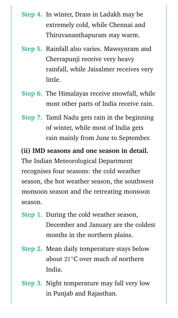
In winter, Drass in Ladakh may be extremely cold, while Chennai and Thiruvananthapuram stay warm.
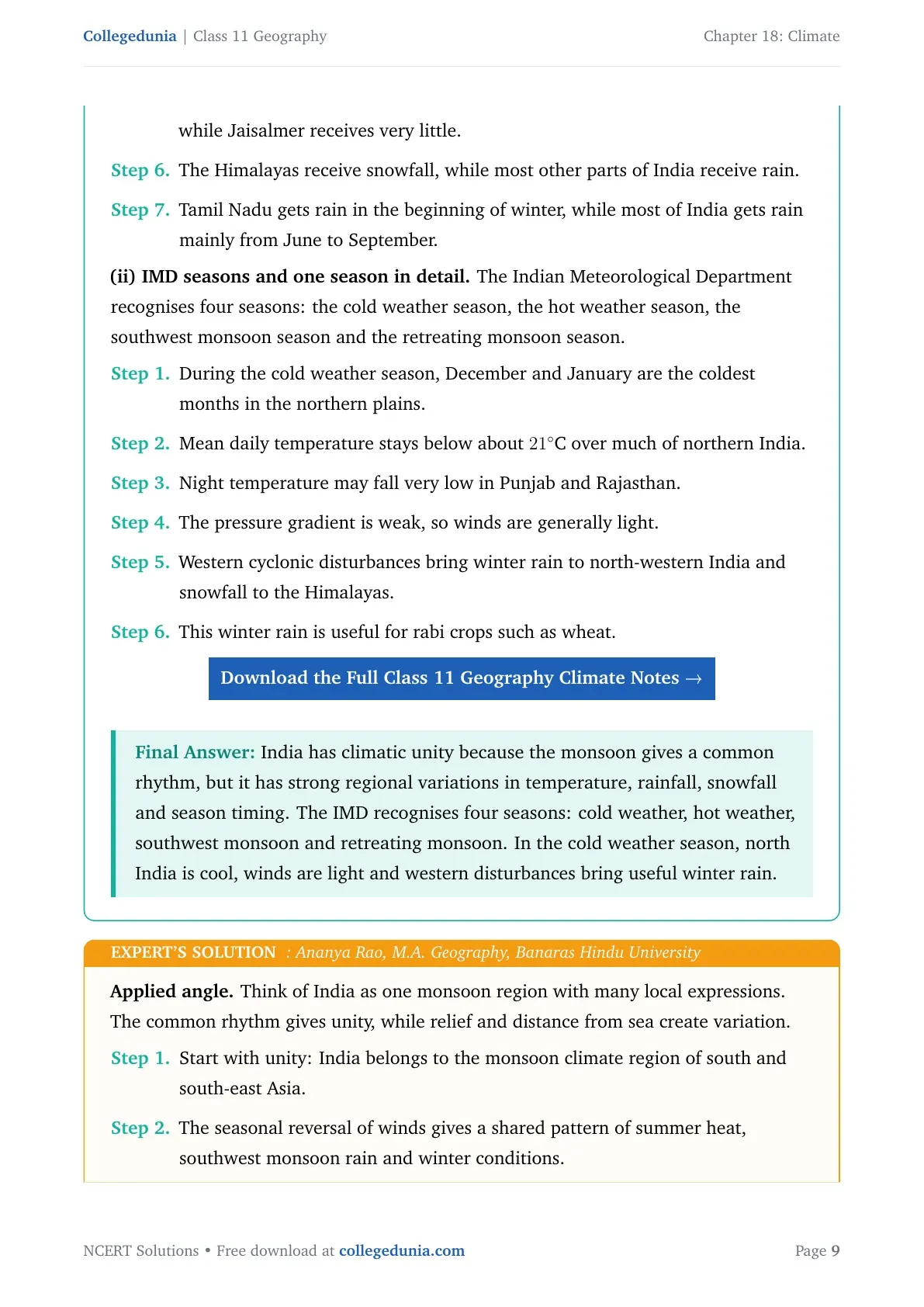
Rainfall also varies. Mawsynram and Cherrapunji receive very heavy rainfall, while Jaisalmer receives very little.
The Himalayas receive snowfall, while most other parts of India receive rain.
Tamil Nadu gets rain in the beginning of winter, while most of India gets rain mainly from June to September.
(ii) IMD seasons and one season in detail.
The Indian Meteorological Department recognises four seasons: the cold weather season, the hot weather season, the southwest monsoon season and the retreating monsoon season.
During the cold weather season, December and January are the coldest months in the northern plains.
Mean daily temperature stays below about 21∘C over much of northern India.
Night temperature may fall very low in Punjab and Rajasthan.
The pressure gradient is weak, so winds are generally light.
Western cyclonic disturbances bring winter rain to north-western India and snowfall to the Himalayas.
This winter rain is useful for rabi crops such as wheat.
Download the Full Class 11 Geography Climate Notes
India has climatic unity because the monsoon gives a common rhythm, but it has strong regional variations in temperature, rainfall, snowfall and season timing. The IMD recognises four seasons: cold weather, hot weather, southwest monsoon and retreating monsoon. In the cold weather season, north India is cool, winds are light and western disturbances bring useful winter rain.
AR
Ananya Rao
M.A. Geography, Banaras Hindu University
Verified Expert
Applied angle. Think of India as one monsoon region with many local expressions. The common rhythm gives unity, while relief and distance from sea create variation.
Start with unity: India belongs to the monsoon climate region of south and south-east Asia.
The seasonal reversal of winds gives a shared pattern of summer heat, southwest monsoon rain and winter conditions.
Then add variation. Temperature in western Rajasthan can be extremely high in summer, but Himalayan and north-eastern hill stations stay cooler.
Drass can become severely cold in winter, while coastal cities such as Chennai remain much warmer.
Rainfall shows even stronger contrast. Meghalaya gets very heavy rain, while western Rajasthan remains dry.
Relief explains much of this contrast. The Western Ghats create heavy windward rainfall and a leeward rain-shadow area.
Distance from sea explains why coastal areas have moderate temperature while inland places show extremes.
For seasons, write all four IMD seasons before describing one of them.
If choosing the cold weather season, include low temperature, clear skies, light winds, western disturbances and rabi-crop benefit.
This gives both the list and the detailed explanation the question asks for.
Why this matters. Long answers score better when examples are placed under clear heads: temperature, rainfall, winds and seasons.
India's monsoon climate creates unity, but regional controls create sharp differences. The four IMD seasons are cold weather, hot weather, southwest monsoon and retreating monsoon; the cold weather season has low northern temperatures, light winds and western disturbance rain.
Q 18.4
Project/Activity
On the outline map of India, show the following:
(i) Areas of winter rain
(ii) Wind direction during the summer season
(iii) Areas having less than 15∘C temperature in January
(iv) Isohyte of 100 cm.
Concept used. A climate map activity checks spatial distribution. Winter rain, summer wind direction, January temperature and the 100 cm isohyet must be marked from an atlas or NCERT map, not from memory alone.
Map method
Overlay the NCERT rainfall, wind and January temperature maps, then mark four symbols: winter-rain shading, summer-wind arrows, a cold belt and a curved isohyet.
Mark winter rain over north-west India and the Tamil Nadu coast, summer wind arrows from the Arabian Sea and Bay of Bengal toward India, the below 15∘C January belt in northern mountains and adjoining north-western areas, and the 100 cm isohyet separating wetter eastern or coastal belts from drier interiors.
Sample guide only. Trace exact boundaries from NCERT maps.
Draw a neat outline map of India and add a title: Climate map activity.
Areas of winter rain. Shade north-western India, mainly Punjab, Haryana, western Uttar Pradesh, Rajasthan fringes and the western Himalayan belt, for rain linked with western disturbances.
Also mark the Tamil Nadu or Coromandel coast for winter rain from the North-Eastern monsoon.
Summer wind direction. Draw arrows from the Arabian Sea toward the west coast and north-west India. Draw arrows from the Bay of Bengal toward north-east India and the Ganga plain.
Label these arrows as southwest monsoon winds.
Less than 15∘C in January. Mark the Himalayan region, Ladakh and colder northern or north-western interiors where January temperature remains low.
Isohyte of 100 cm. Draw a broad 100 cm rainfall line using the NCERT rainfall map. It roughly separates wetter eastern, north-eastern and windward coastal belts from many drier interior and western regions.
Add a legend, north arrow and source note. Write ``Source: NCERT Class 11 Geography Climate maps'' below the map.
The project map should show winter-rain belts, southwest monsoon wind arrows, below 15∘C January areas and the 100 cm isohyet with a clear legend. Use the NCERT maps or an atlas so the line and shaded areas stay accurate.
MD
Meera Desai
M.A. Geography, University of Hyderabad
Verified Expert
Project angle. Treat this as four small climate layers on one outline map. The marks usually come from placement, legend and labels.
First, keep a blank outline map and the NCERT rainfall and temperature maps side by side.
Mark winter rain in two different areas. North-west India gets winter rain from western disturbances.
The Tamil Nadu coast gets winter rain from retreating or North-Eastern monsoon winds.
For summer winds, draw the Arabian Sea branch from south-west to north-east along the west coast and toward central India.
Draw the Bay of Bengal branch entering from the south-east toward Bengal, Assam and the Ganga plain.
For January temperature below 15∘C, shade the Himalayan belt and colder northern interiors carefully.
For the 100 cm isohyet, do not draw a straight line. Follow the rainfall pattern shown in the textbook map.
Add a simple legend: blue shading for winter rain, arrows for summer winds, grey shading for low January temperature and a solid line for the isohyet.
Finish by writing the source and checking that no label hides a state boundary.
Why this matters. Climate maps show that the monsoon is spatial, not just seasonal. The same country has different rain months, wind paths and temperature zones.
Prepare a labelled outline map with winter-rain areas, southwest monsoon wind arrows, below 15∘C January areas and the 100 cm isohyet, using a legend and NCERT map reference.
Climate Class 11 NCERT Solutions FAQs
Ques. How many questions are solved in Class 11 Geography Chapter 18 Climate?
Ans. The PDF solves all 4 exercise groups from the 2026-27 NCERT Class 11 Geography Chapter 18 Climate textbook.
Ques. What is the MCQ answer key for Class 11 Geography Chapter 18 Climate?
Ans. The MCQ answer key used in the solutions PDF is (c), (b), (d) and (a) for the four parts of Question 1.
Ques. Why does Mawsynram receive very heavy rainfall?
Ans. Mawsynram receives very heavy rainfall because moisture-laden Bay of Bengal winds rise along the Khasi hills and cool quickly.
Ques. Are these Climate solutions useful for the 2026-27 school exam?
Ans. Yes. The answers follow the latest 2026-27 NCERT exercise and explain ITCZ, monsoon, rainfall distribution, western disturbances and IMD seasons in Class 11 exam language.










Comments