The NCERT Solutions for Class 11 Geography Chapter 4 Distribution of Oceans and Continents cover every exercise question from the 2026-27 NCERT book. Students get the MCQ key, short answers on Wegener, mantle convection and plate boundaries, and long answers on drift evidence and post-drift discoveries in one exam-ready PDF.
The PDF solves 8 exercise questions from Distribution of Oceans and Continents.
Key terms include Pangaea, Panthalassa, pole-fleeing force, sea-floor spreading, transform boundary, convergent boundary, divergent boundary, and Deccan Traps.
Use the embedded question cards below to revise one answer at a time.
Each answer in this Class 11 Geography Chapter 4 solutions PDF follows the 2026-27 NCERT exercise and keeps the language school-exam ready.
Student Feedback: In a Collegedunia student survey of 11,940 Class 11 Geography students before the 2026 exams, many students said this chapter becomes easier when continental drift evidence and plate-boundary outcomes are revised in separate columns. Keep the MCQ anchors ready before writing the long answers.
Distribution of Oceans and Continents Answer Key and Exercise Pattern
The exercise checks how well students connect old continental-drift evidence with the newer plate-tectonics explanation. The MCQs are direct, but the short and long answers need cause, evidence, and correct NCERT terms.
Exercise area
Questions
What it checks
MCQs
5 parts
Ortelius, pole-fleeing force, major plates, sea-floor spreading, Himalayan boundary
Short answers
4 questions
Wegener's forces, mantle convection, boundary types, Indian landmass
Long answers
3 questions
Continental drift evidence, drift theory versus plate tectonics, post-drift discoveries
The correct MCQ key is (c), (c), (d), (c), and (d). These options match the NCERT chapter discussion of Abraham Ortelius, earth's rotation, Antarctica as a major plate, fossils as continental-drift evidence, and continent-continent convergence in the Himalayas.
Distribution of Oceans and Continents Video Explanation
Continental Drift Evidence in Distribution of Oceans and Continents
Wegener's continental drift theory begins with the idea that present continents were once joined as Pangaea, surrounded by Panthalassa. NCERT asks students to remember that the theory was supported by several clues, not by a single map observation.
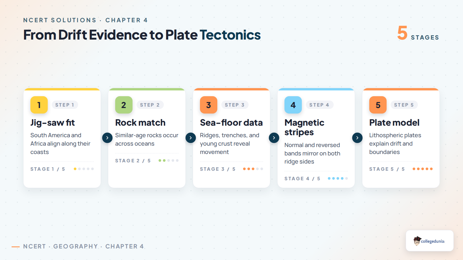
Jig-saw fit: The coastlines of South America and Africa appear to fit together across the Atlantic Ocean.
Rock and structure match: Rock formations of similar age and structure are found on opposite sides of the ocean.
Fossils and deposits: Fossil distribution, tillite deposits, and placer deposits support the idea of earlier continental contact.
Exam tip: Write the evidence as named points first, then add one explanatory line for each point. That format makes the long answer complete without becoming vague.
Sea-Floor Spreading and Plate Tectonics in Class 11 Geography
Post-drift studies changed the debate because scientists began mapping the ocean floor in detail. Mid-oceanic ridges, trenches, magnetic stripes, and the young age of ocean-floor rocks made it clear that oceanic crust is created and destroyed continuously.
Discovery
What NCERT says it showed
Revision cue
Mid-oceanic ridges
Volcanic activity adds new material to the ocean floor.
Crust creation
Magnetic stripes
Normal and reverse magnetic bands are symmetrical around ridges.
Spreading record
Young ocean rocks
Rocks near ridges are younger than rocks farther away.
Age pattern
Ocean trenches
Old crust sinks near deep trenches at convergent margins.
Crust destruction
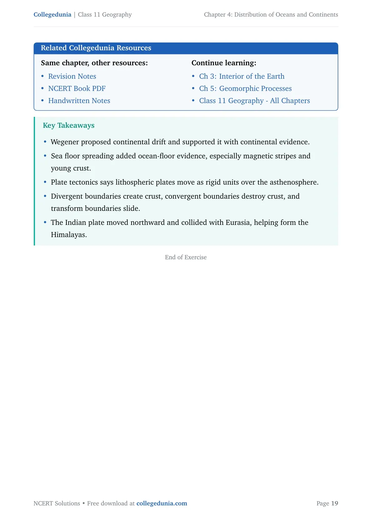
Plate tectonics explains both continental movement and ocean-floor processes, so it is broader than Wegener's drift theory.
Drift Theory and Plate Tectonics Compared
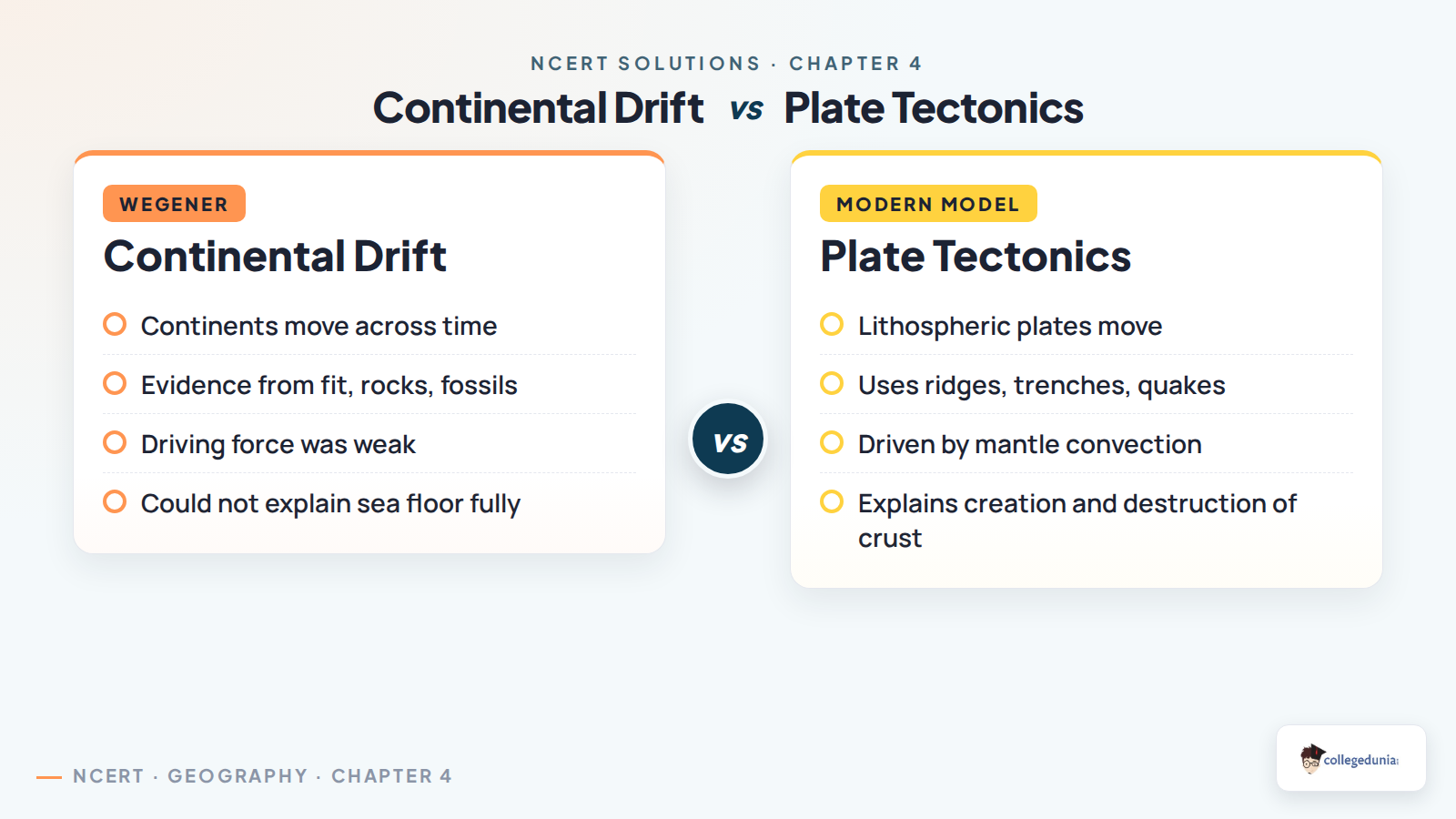
The basic difference is that continental drift focused on continents moving, while plate tectonics focuses on lithospheric plates moving. Continents are part of these plates, so their changing positions are explained through plate motion, not through continents pushing alone.
Continental drift: Proposed by Alfred Wegener, supported by continental fit, rocks, fossils, tillites, and placer deposits.
Plate tectonics: Explains movement through lithospheric plates, mantle convection, ridges, trenches, earthquakes, and volcanic belts.
Boundary outcomes: Divergent margins create crust, convergent margins destroy crust, and transform margins slide without creating or destroying crust.
Indian Plate Movement and the Deccan Traps Answer
The Indian plate section connects the chapter to the Himalayas and the Deccan Traps. NCERT explains that the Indian landmass separated from Gondwana, moved northward, crossed close to the equator, and later collided with the Eurasian plate.
Event
Answer point
Why it matters
Break from Gondwana
India moved away from the southern supercontinent.
Shows long-term plate movement
Deccan Traps phase
India was near the equator and moving northward.
Links lava flows with plate journey
Himalayan collision
Indian plate met the Eurasian plate.
Explains continent-continent convergence
For the MCQ on Himalayan mountains, the answer is continent-continent convergence. Do not mark ocean-continent convergence because the collision described here is between the Indian and Eurasian continental masses.
How to Use the Class 11 Geography Chapter 4 Solutions PDF
Use the PDF in two rounds. First, memorise the five-option MCQ key and the names of the evidence. Then write the long answers with headings so the examiner can see the sequence of points clearly.
Revise Wegener's two forces together: pole-fleeing force and tidal force.
For sea-floor spreading, remember three anchors: ridges, magnetic stripes, and young ocean-floor rocks.
For plate boundaries, write the movement first and the crust result second.
For Indian plate answers, connect Deccan Traps, northward movement, and Himalayan collision.
Quick recall: Drift evidence proves continents were once connected; plate tectonics explains the mechanism of movement.
All NCERT Solutions for Class 11 Geography Chapter 4 Distribution of Oceans and Continents with Step-by-Step Solutions
The cards below include every exercise question. Use Check Solution for the direct answer and Expert Solution for a second explanation.
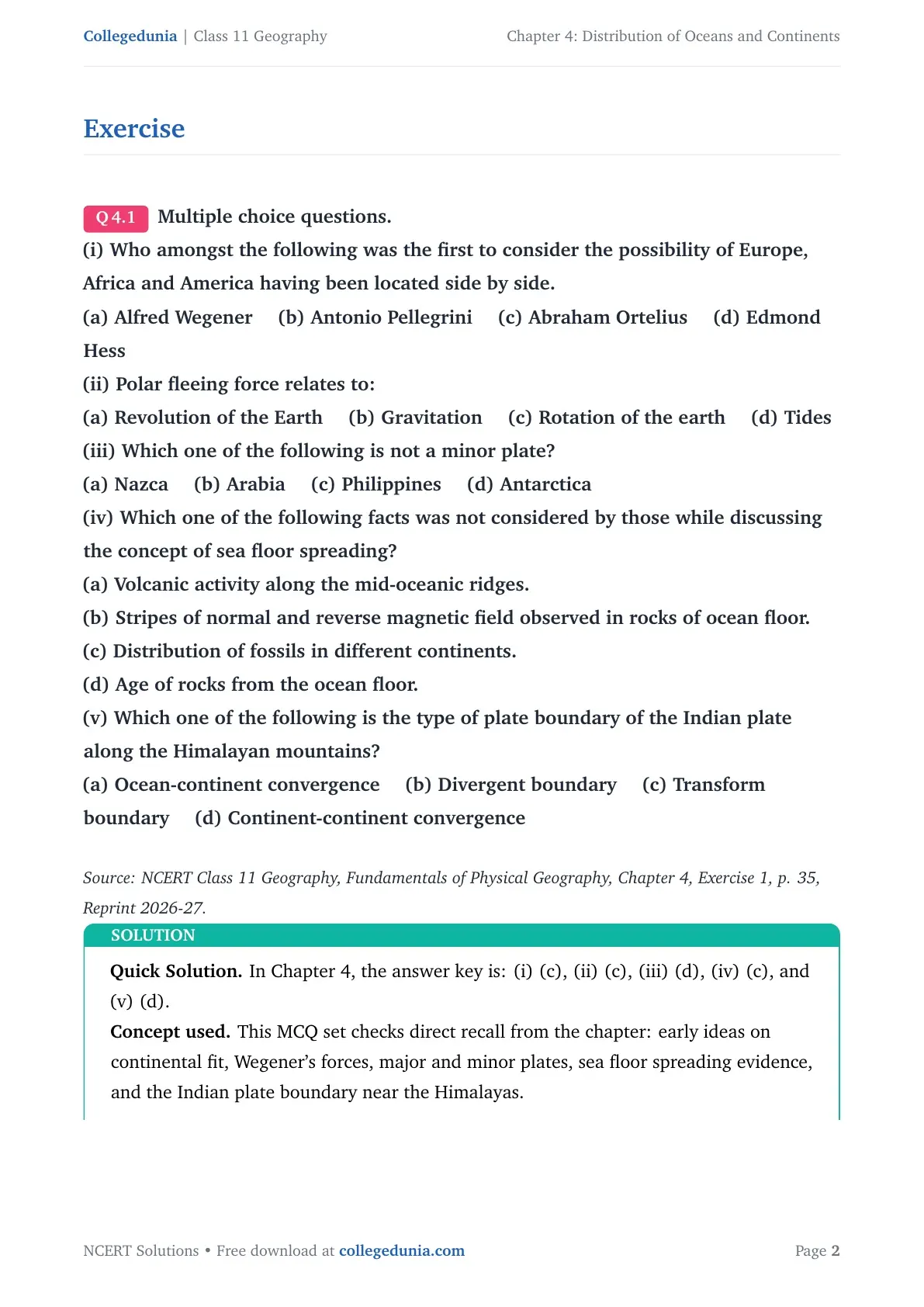
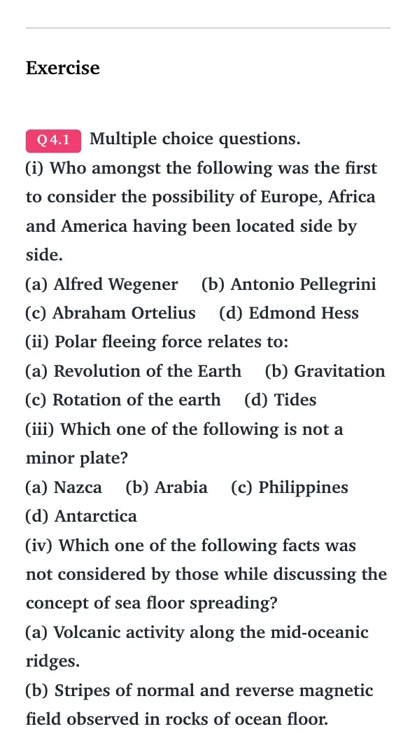
Q 4.1
Multiple choice questions.
(i) Who amongst the following was the first to consider the possibility of Europe, Africa and America having been located side by side.
(a) Alfred Wegener (b) Antonio Pellegrini (c) Abraham Ortelius (d) Edmond Hess
(ii) Polar fleeing force relates to:
(a) Revolution of the Earth (b) Gravitation (c) Rotation of the earth (d) Tides
(iii) Which one of the following is not a minor plate?
(a) Nazca (b) Arabia (c) Philippines (d) Antarctica
(iv) Which one of the following facts was not considered by those while discussing the concept of sea floor spreading?
(a) Volcanic activity along the mid-oceanic ridges.
(b) Stripes of normal and reverse magnetic field observed in rocks of ocean floor.
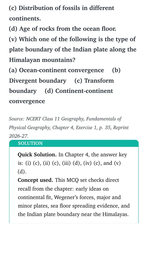
(c) Distribution of fossils in different continents.
(d) Age of rocks from the ocean floor.
(v) Which one of the following is the type of plate boundary of the Indian plate along the Himalayan mountains?
(a) Ocean-continent convergence (b) Divergent boundary (c) Transform boundary (d) Continent-continent convergence
Quick Solution. In Chapter 4, the answer key is: (i) (c), (ii) (c),
(iii) (d), (iv) (c), and (v) (d).
Concept used. This MCQ set checks direct recall from the chapter:
early ideas on continental fit, Wegener's forces, major and minor plates, sea
floor spreading evidence, and the Indian plate boundary near the Himalayas.
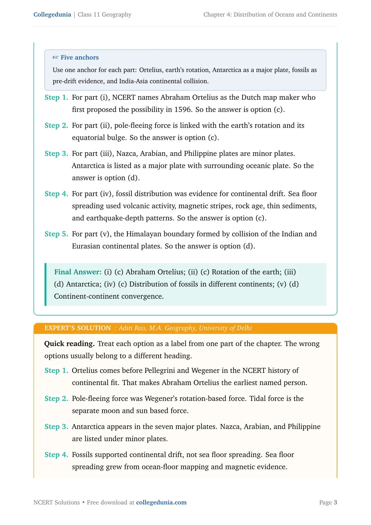
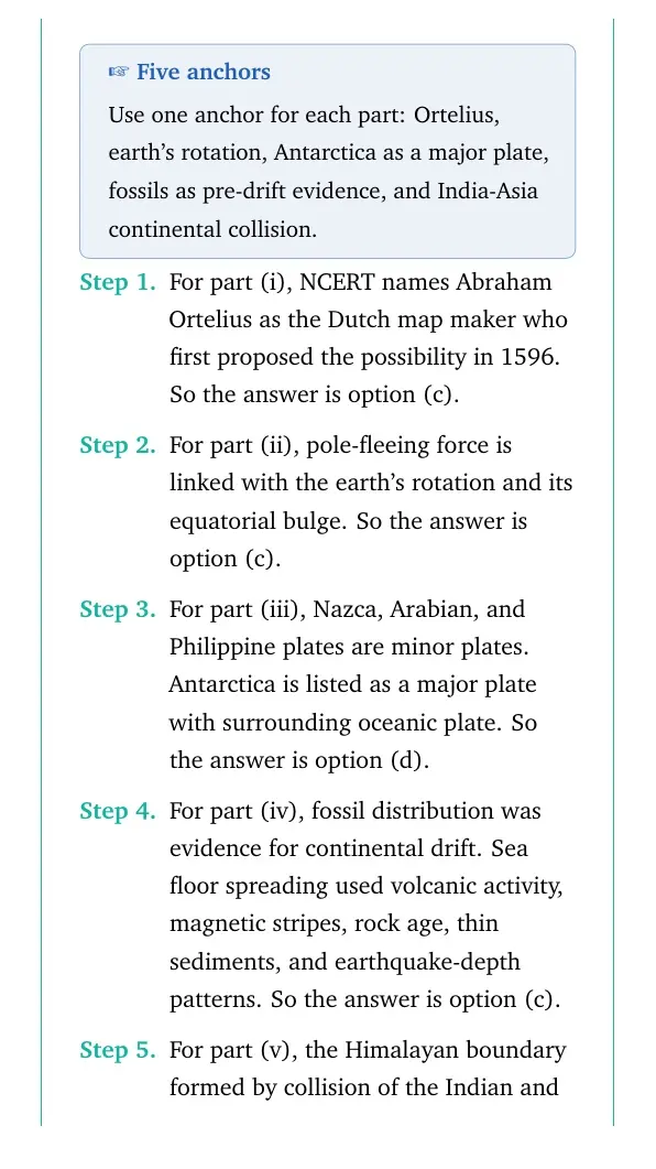
Five anchors
Use one anchor for each part: Ortelius, earth's rotation, Antarctica as a
major plate, fossils as pre-drift evidence, and India-Asia continental
collision.
For part (i), NCERT names Abraham Ortelius as the Dutch map maker who
first proposed the possibility in 1596. So the answer is option (c).
For part (ii), pole-fleeing force is linked with the earth's rotation
and its equatorial bulge. So the answer is option (c).
For part (iii), Nazca, Arabian, and Philippine plates are minor plates.
Antarctica is listed as a major plate with surrounding oceanic plate.
So the answer is option (d).
For part (iv), fossil distribution was evidence for continental drift.
Sea floor spreading used volcanic activity, magnetic stripes, rock age,
thin sediments, and earthquake-depth patterns. So the answer is option
(c).
For part (v), the Himalayan boundary formed by collision of the Indian
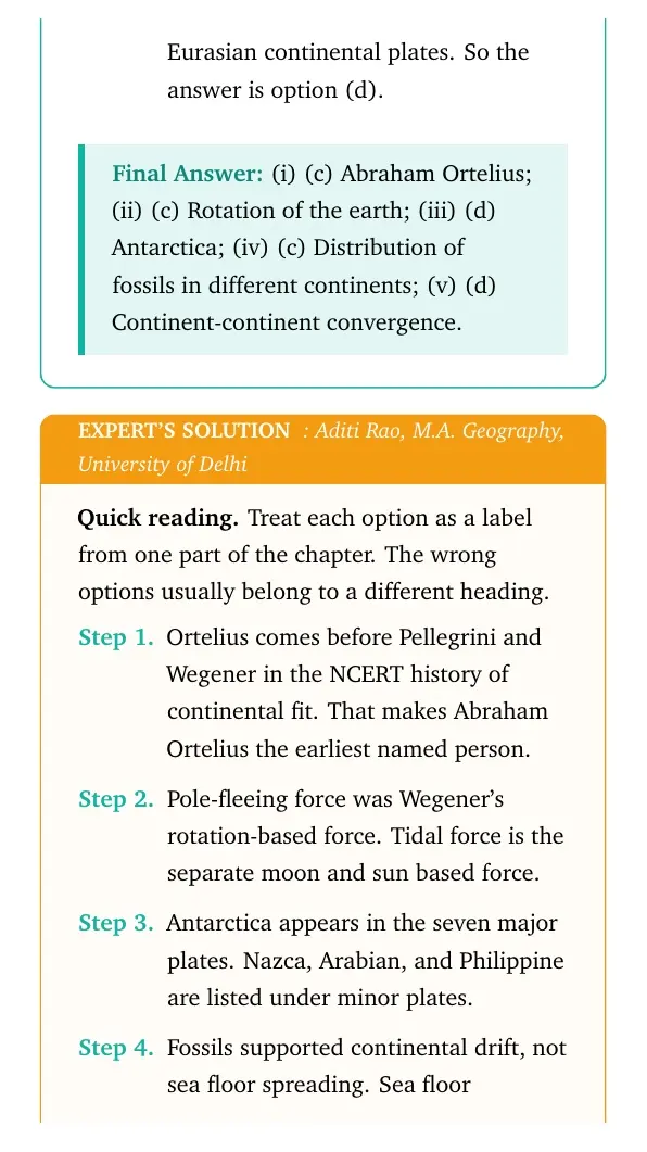
and Eurasian continental plates. So the answer is option (d).
(i) (c) Abraham Ortelius; (ii) (c) Rotation of the earth; (iii) (d) Antarctica; (iv) (c) Distribution of fossils in different continents; (v) (d) Continent-continent convergence.
AR
Aditi Rao
M.A. Geography, University of Delhi
Verified Expert
Quick reading. Treat each option as a label from one part of the
chapter. The wrong options usually belong to a different heading.
Ortelius comes before Pellegrini and Wegener in the NCERT history of
continental fit. That makes Abraham Ortelius the earliest named person.
Pole-fleeing force was Wegener's rotation-based force. Tidal force is
the separate moon and sun based force.
Antarctica appears in the seven major plates. Nazca, Arabian, and
Philippine are listed under minor plates.
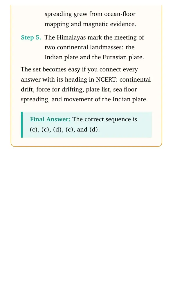
Fossils supported continental drift, not sea floor spreading. Sea
floor spreading grew from ocean-floor mapping and magnetic evidence.
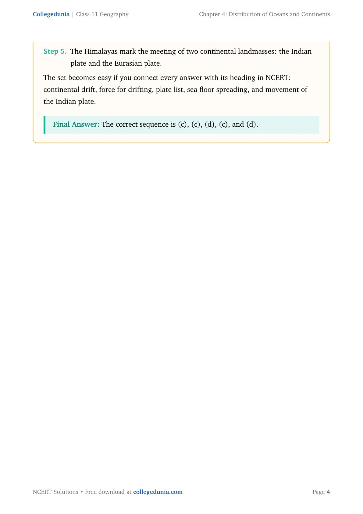
The Himalayas mark the meeting of two continental landmasses: the
Indian plate and the Eurasian plate.
The set becomes easy if you connect every answer with its heading in NCERT:
continental drift, force for drifting, plate list, sea floor spreading, and
movement of the Indian plate.
The correct sequence is (c), (c), (d), (c), and (d).
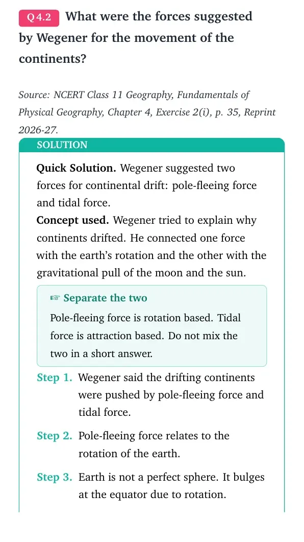
Q 4.2
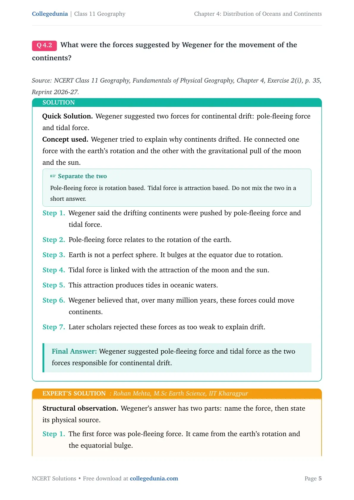
What were the forces suggested by Wegener for the movement of the continents?
Quick Solution. Wegener suggested two forces for continental drift:
pole-fleeing force and tidal force.
Concept used. Wegener tried to explain why continents drifted. He
connected one force with the earth's rotation and the other with the
gravitational pull of the moon and the sun.
Separate the two
Pole-fleeing force is rotation based. Tidal force is attraction based. Do not
mix the two in a short answer.
Wegener said the drifting continents were pushed by pole-fleeing force
and tidal force.
Pole-fleeing force relates to the rotation of the earth.
Earth is not a perfect sphere. It bulges at the equator due to
rotation.
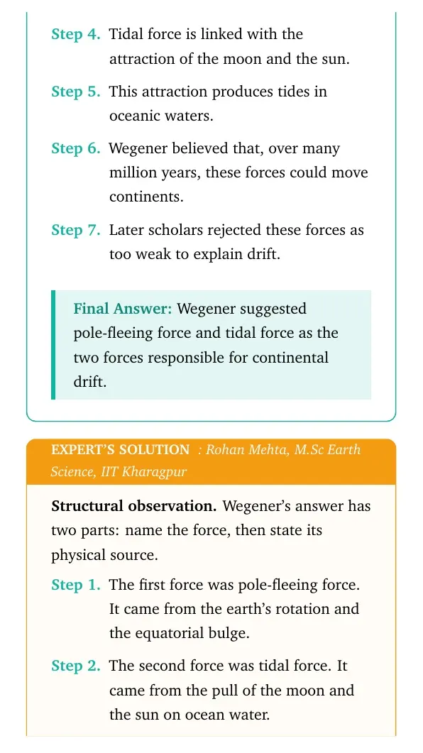
Tidal force is linked with the attraction of the moon and the sun.
This attraction produces tides in oceanic waters.
Wegener believed that, over many million years, these forces could move
continents.
Later scholars rejected these forces as too weak to explain drift.
Wegener suggested pole-fleeing force and tidal force as the two forces responsible for continental drift.
RM
Rohan Mehta
M.Sc Earth Science, IIT Kharagpur
Verified Expert
Structural observation. Wegener's answer has two parts: name the
force, then state its physical source.
The first force was pole-fleeing force. It came from the earth's
rotation and the equatorial bulge.
The second force was tidal force. It came from the pull of the moon and
the sun on ocean water.
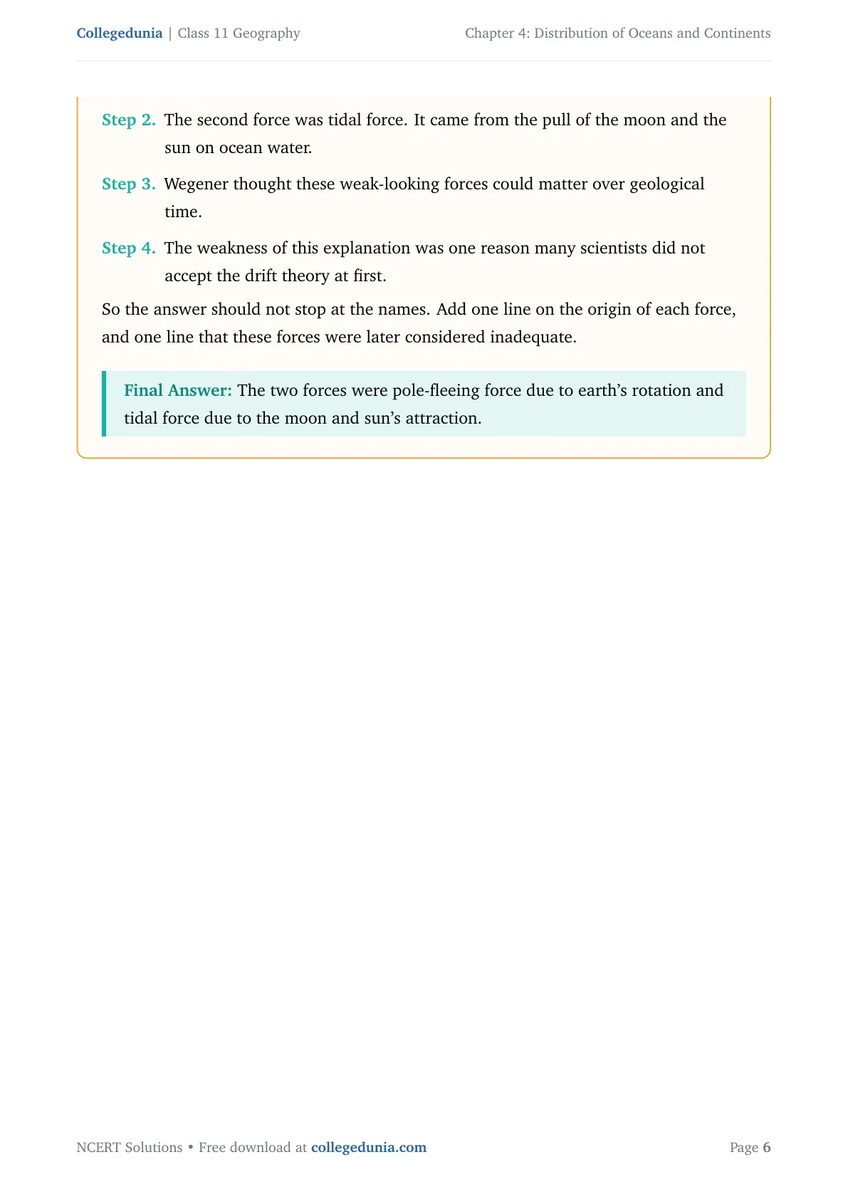
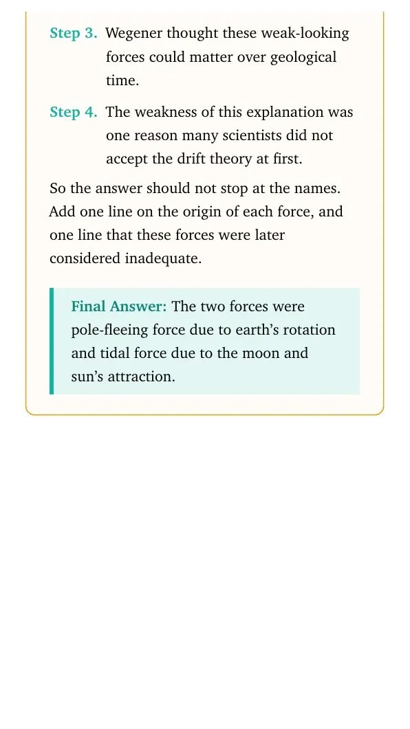
Wegener thought these weak-looking forces could matter over geological
time.
The weakness of this explanation was one reason many scientists did
not accept the drift theory at first.
So the answer should not stop at the names. Add one line on the origin of each
force, and one line that these forces were later considered inadequate.
The two forces were pole-fleeing force due to earth's rotation and tidal force due to the moon and sun's attraction.
Q 4.3
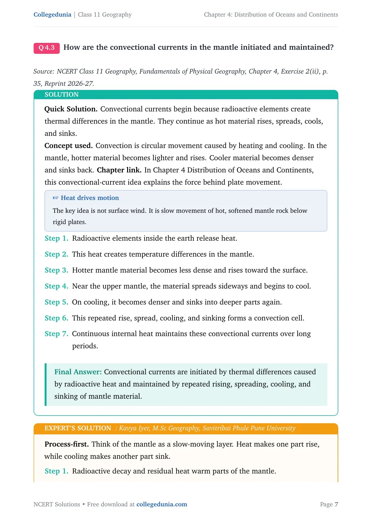
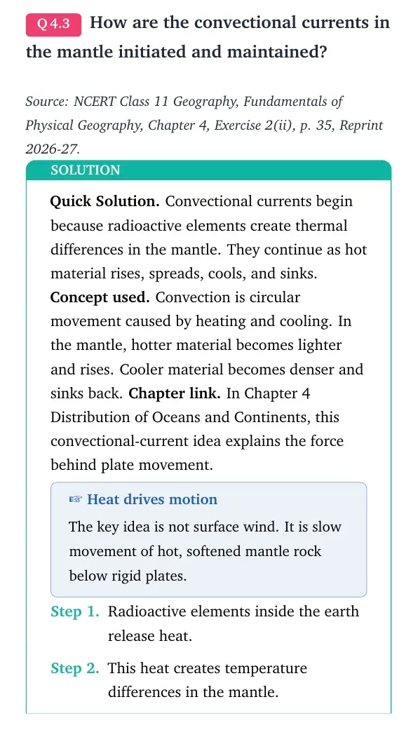
How are the convectional currents in the mantle initiated and maintained?
Quick Solution. Convectional currents begin because radioactive
elements create thermal differences in the mantle. They continue as hot
material rises, spreads, cools, and sinks.
Concept used. Convection is circular movement caused by heating and
cooling. In the mantle, hotter material becomes lighter and rises. Cooler
material becomes denser and sinks back.
Chapter link. In Chapter 4 Distribution of Oceans and Continents, this
convectional-current idea explains the force behind plate movement.
Heat drives motion
The key idea is not surface wind. It is slow movement of hot, softened mantle
rock below rigid plates.
Radioactive elements inside the earth release heat.
This heat creates temperature differences in the mantle.
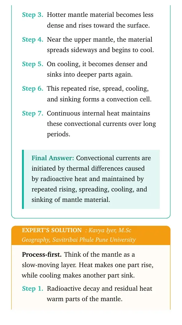
Hotter mantle material becomes less dense and rises toward the
surface.
Near the upper mantle, the material spreads sideways and begins to
cool.
On cooling, it becomes denser and sinks into deeper parts again.
This repeated rise, spread, cooling, and sinking forms a convection
cell.
Continuous internal heat maintains these convectional currents over
long periods.
Convectional currents are initiated by thermal differences caused by radioactive heat and maintained by repeated rising, spreading, cooling, and sinking of mantle material.
KI
Kavya Iyer
M.Sc Geography, Savitribai Phule Pune University
Verified Expert
Process-first. Think of the mantle as a slow-moving layer. Heat makes
one part rise, while cooling makes another part sink.
Radioactive decay and residual heat warm parts of the mantle.
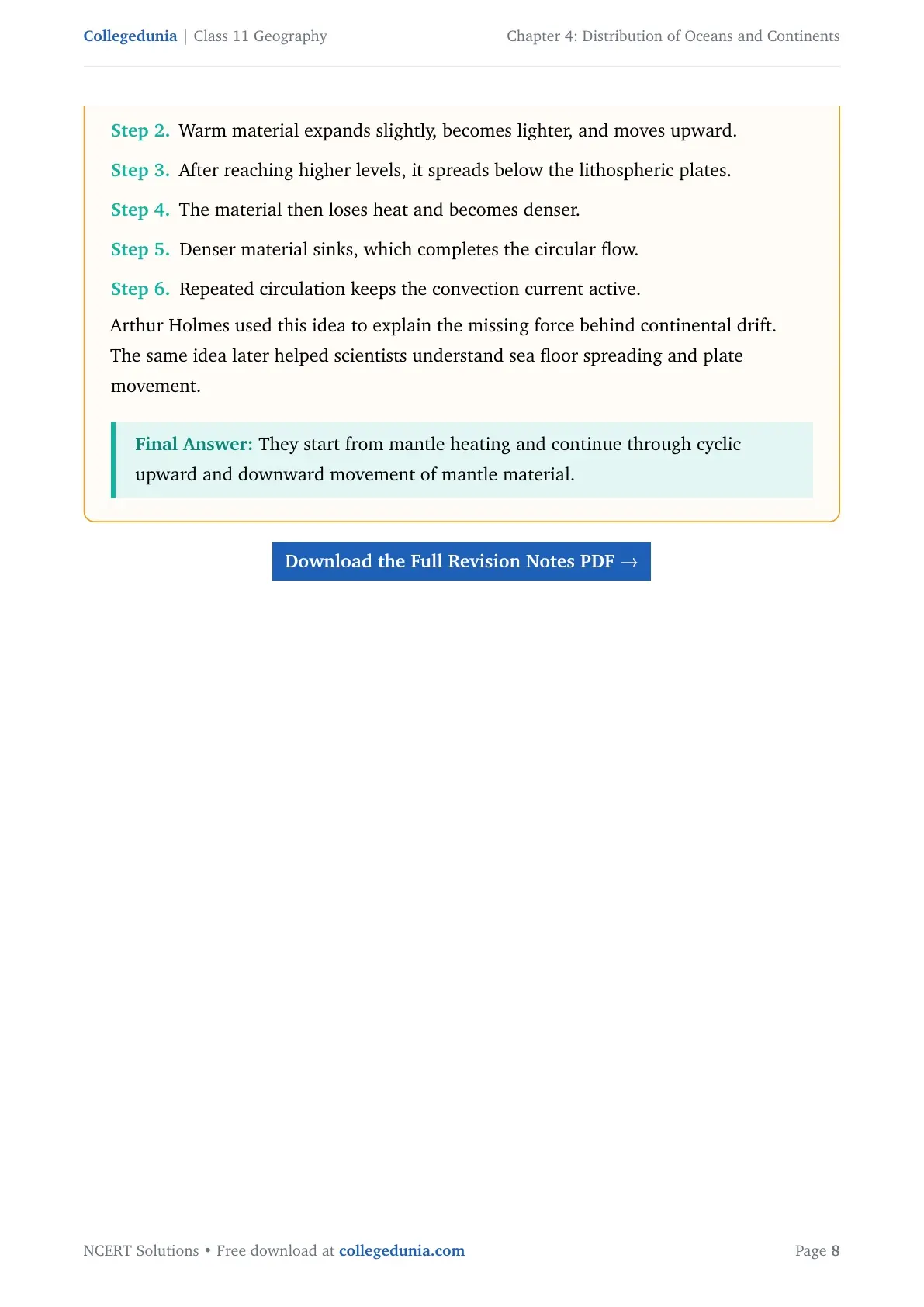
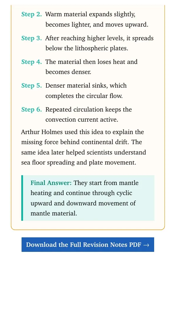
Warm material expands slightly, becomes lighter, and moves upward.
After reaching higher levels, it spreads below the lithospheric plates.
The material then loses heat and becomes denser.
Denser material sinks, which completes the circular flow.
Repeated circulation keeps the convection current active.
Arthur Holmes used this idea to explain the missing force behind continental
drift. The same idea later helped scientists understand sea floor spreading and
plate movement.
They start from mantle heating and continue through cyclic upward and downward movement of mantle material.
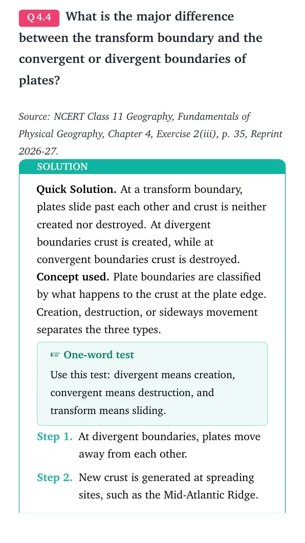
Q 4.4
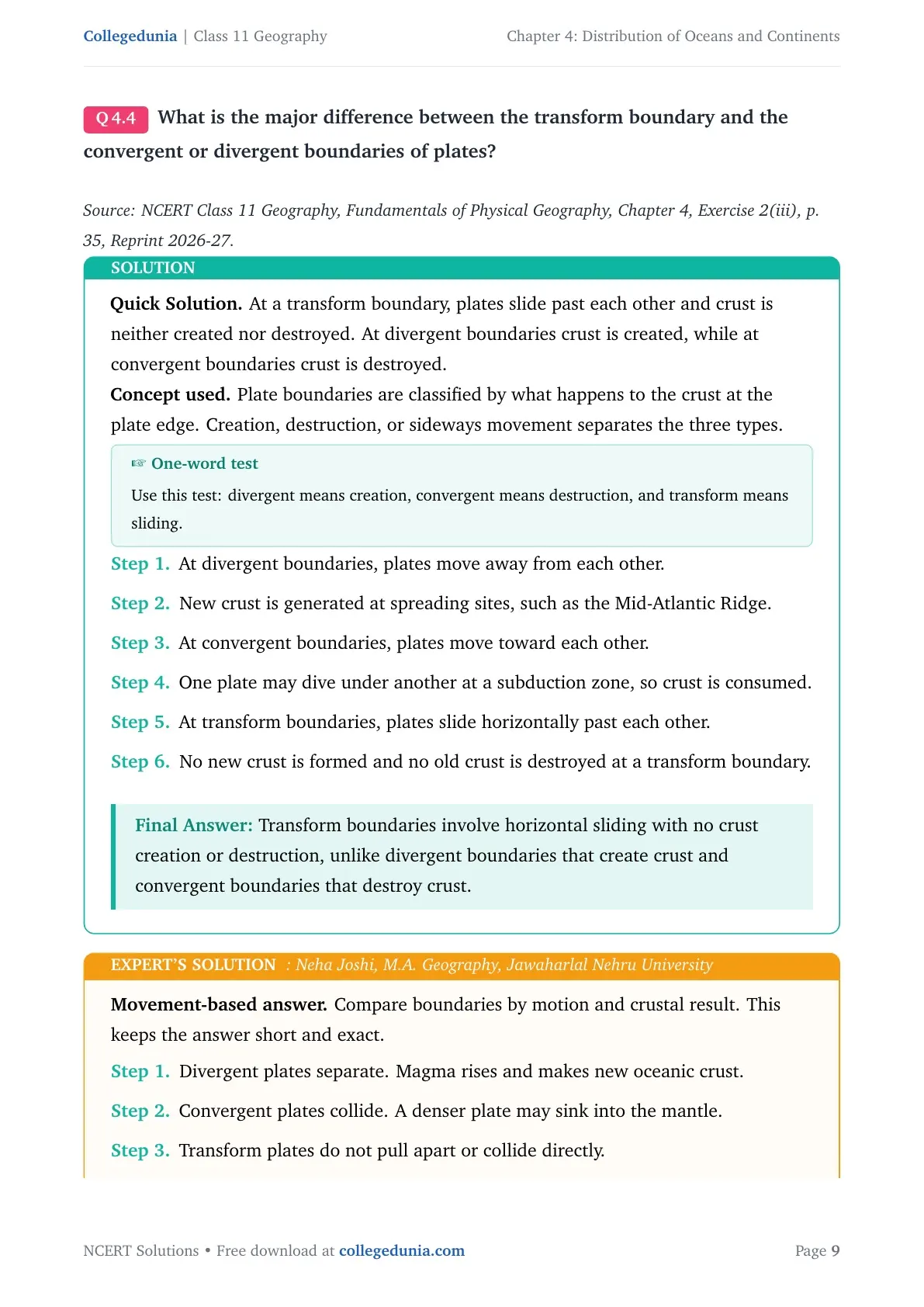
What is the major difference between the transform boundary and the convergent or divergent boundaries of plates?
Quick Solution. At a transform boundary, plates slide past each other
and crust is neither created nor destroyed. At divergent boundaries crust is
created, while at convergent boundaries crust is destroyed.
Concept used. Plate boundaries are classified by what happens to the
crust at the plate edge. Creation, destruction, or sideways movement separates
the three types.
One-word test
Use this test: divergent means creation, convergent means destruction, and
transform means sliding.
At divergent boundaries, plates move away from each other.
New crust is generated at spreading sites, such as the Mid-Atlantic
Ridge.
At convergent boundaries, plates move toward each other.
One plate may dive under another at a subduction zone, so crust is
consumed.
At transform boundaries, plates slide horizontally past each other.
No new crust is formed and no old crust is destroyed at a transform
boundary.
Transform boundaries involve horizontal sliding with no crust creation or destruction, unlike divergent boundaries that create crust and convergent boundaries that destroy crust.
NJ
Neha Joshi
M.A. Geography, Jawaharlal Nehru University
Verified Expert
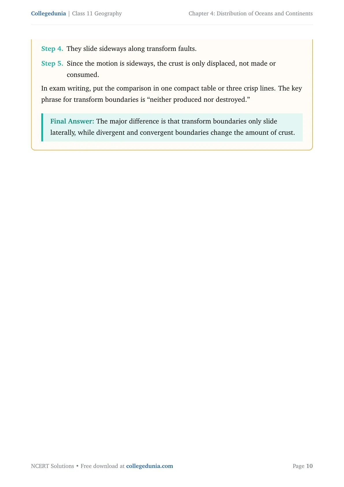
Movement-based answer. Compare boundaries by motion and crustal
result. This keeps the answer short and exact.
Divergent plates separate. Magma rises and makes new oceanic crust.
Convergent plates collide. A denser plate may sink into the mantle.
Transform plates do not pull apart or collide directly.
They slide sideways along transform faults.
Since the motion is sideways, the crust is only displaced, not made or
consumed.
In exam writing, put the comparison in one compact table or three crisp lines.
The key phrase for transform boundaries is ``neither produced nor destroyed.''
The major difference is that transform boundaries only slide laterally, while divergent and convergent boundaries change the amount of crust.
Q 4.5
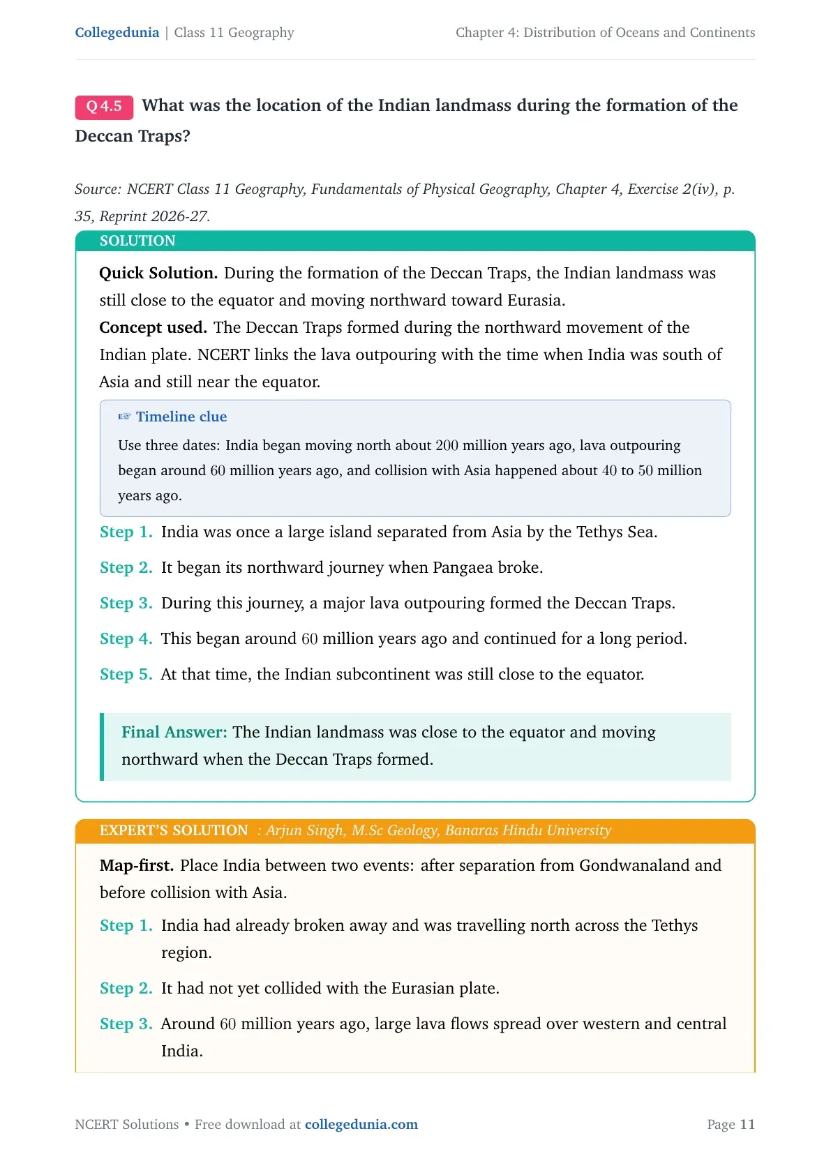
What was the location of the Indian landmass during the formation of the Deccan Traps?
Quick Solution. During the formation of the Deccan Traps, the Indian
landmass was still close to the equator and moving northward toward Eurasia.
Concept used. The Deccan Traps formed during the northward movement
of the Indian plate. NCERT links the lava outpouring with the time when India
was south of Asia and still near the equator.
Timeline clue
Use three dates: India began moving north about 200 million years ago, lava
outpouring began around 60 million years ago, and collision with Asia
happened about 40 to 50 million years ago.
India was once a large island separated from Asia by the Tethys Sea.
It began its northward journey when Pangaea broke.
During this journey, a major lava outpouring formed the Deccan Traps.
This began around 60 million years ago and continued for a long
period.
At that time, the Indian subcontinent was still close to the equator.
The Indian landmass was close to the equator and moving northward when the Deccan Traps formed.
AS
Arjun Singh
M.Sc Geology, Banaras Hindu University
Verified Expert
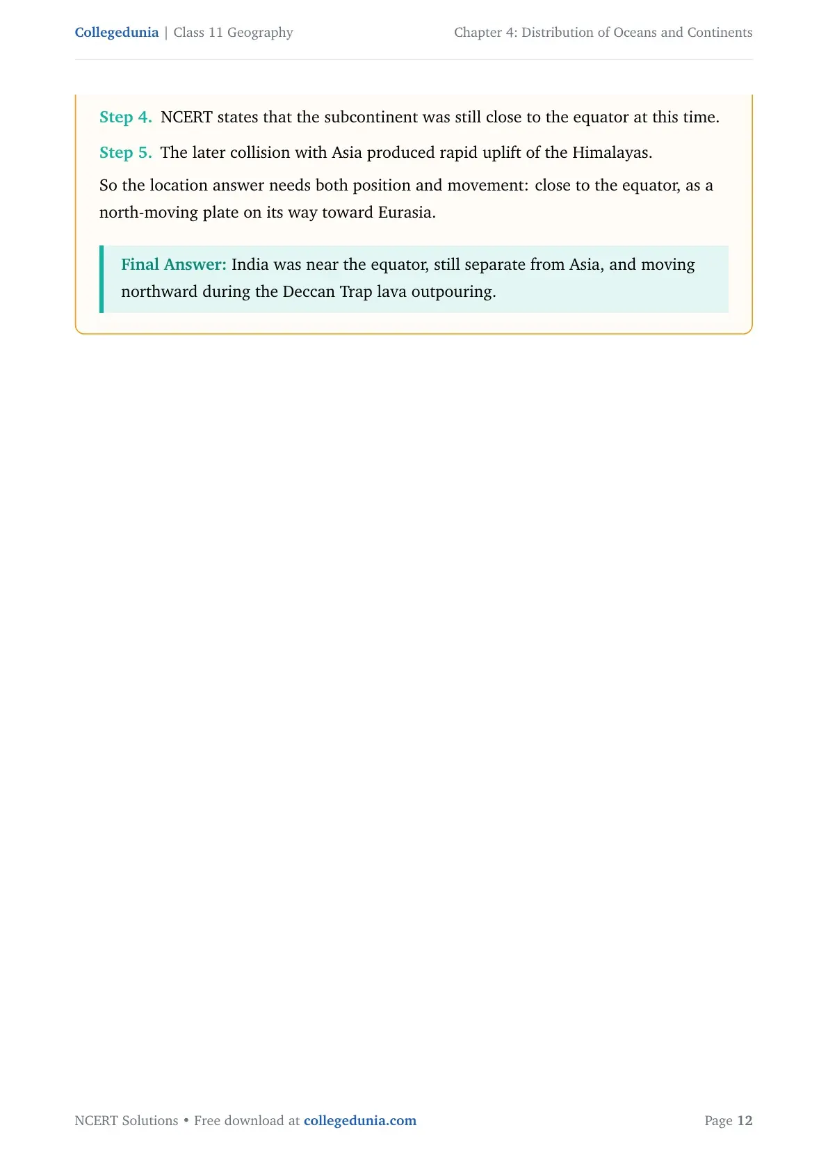
Map-first. Place India between two events: after separation from
Gondwanaland and before collision with Asia.
India had already broken away and was travelling north across the
Tethys region.
It had not yet collided with the Eurasian plate.
Around 60 million years ago, large lava flows spread over western
and central India.
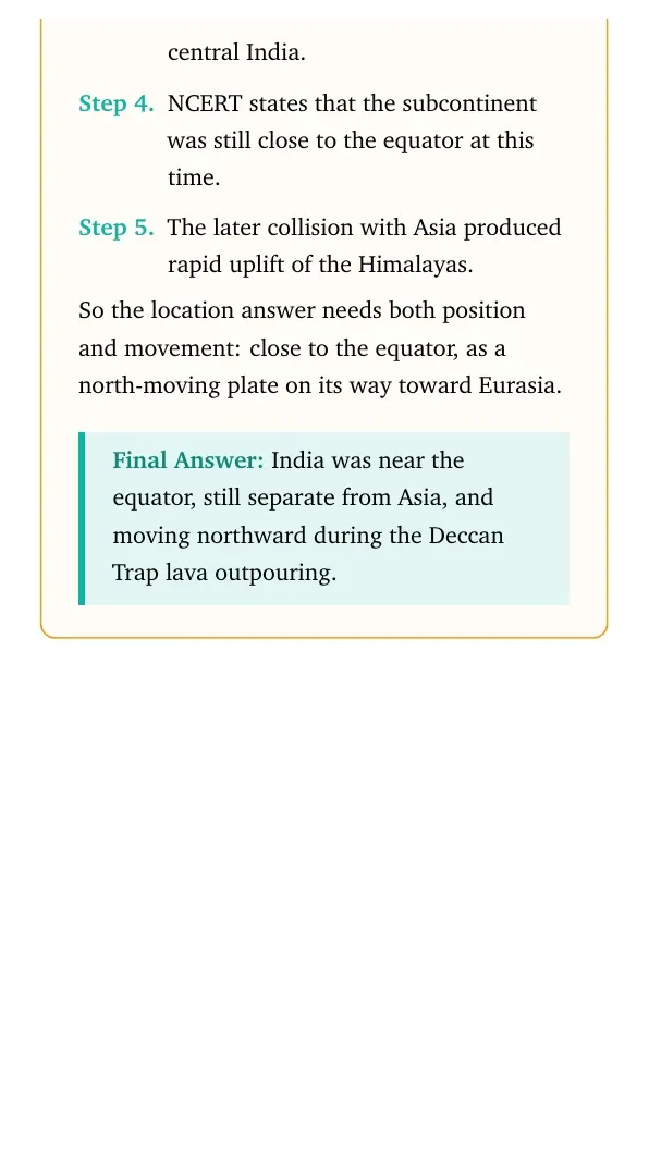
NCERT states that the subcontinent was still close to the equator at
this time.
The later collision with Asia produced rapid uplift of the Himalayas.
So the location answer needs both position and movement: close to the equator,
as a north-moving plate on its way toward Eurasia.
India was near the equator, still separate from Asia, and moving northward during the Deccan Trap lava outpouring.
Q 4.6
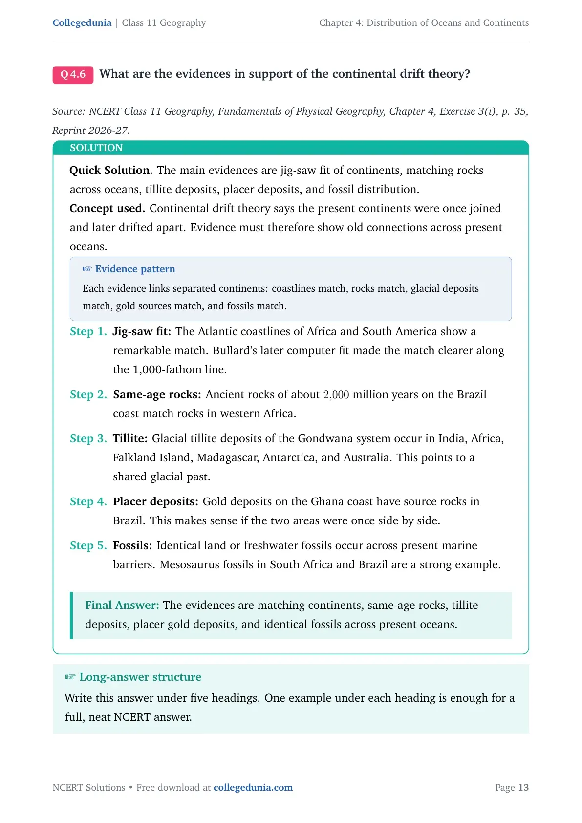
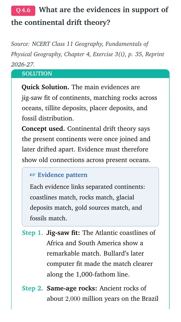
What are the evidences in support of the continental drift theory?
Quick Solution. The main evidences are jig-saw fit of continents,
matching rocks across oceans, tillite deposits, placer deposits, and fossil
distribution.
Concept used. Continental drift theory says the present continents
were once joined and later drifted apart. Evidence must therefore show old
connections across present oceans.
Evidence pattern
Each evidence links separated continents: coastlines match, rocks match,
glacial deposits match, gold sources match, and fossils match.
Jig-saw fit: The Atlantic coastlines of Africa and South
America show a remarkable match. Bullard's later computer fit made the
match clearer along the 1,000-fathom line.
Same-age rocks: Ancient rocks of about 2,000 million
years on the Brazil coast match rocks in western Africa.
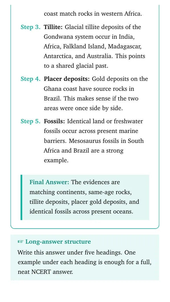
Tillite: Glacial tillite deposits of the Gondwana system
occur in India, Africa, Falkland Island, Madagascar, Antarctica, and
Australia. This points to a shared glacial past.
Placer deposits: Gold deposits on the Ghana coast have source
rocks in Brazil. This makes sense if the two areas were once side by
side.
Fossils: Identical land or freshwater fossils occur across
present marine barriers. Mesosaurus fossils in South Africa and Brazil
are a strong example.
The evidences are matching continents, same-age rocks, tillite deposits, placer gold deposits, and identical fossils across present oceans.
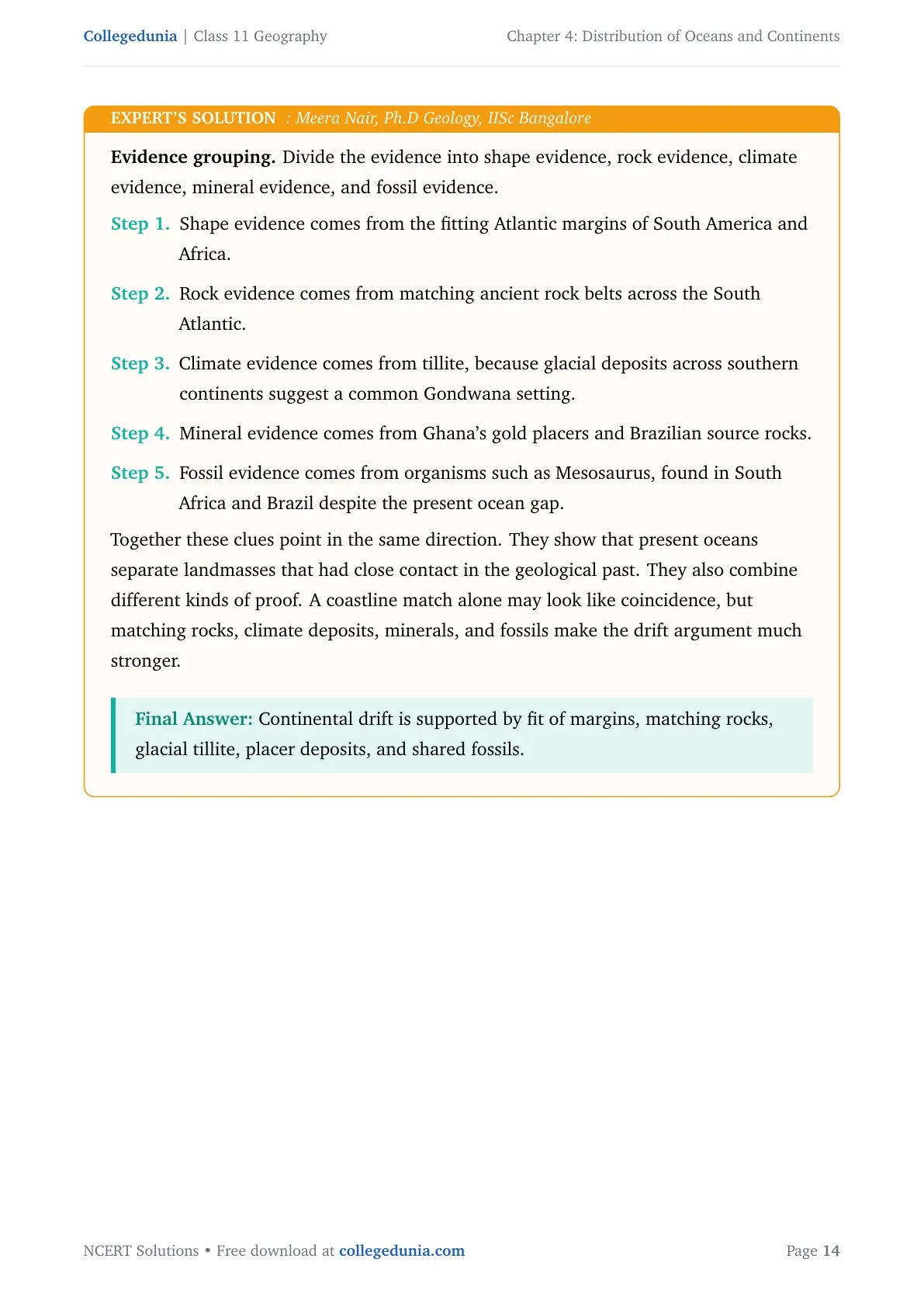
MN
Meera Nair
Ph.D Geology, IISc Bangalore
Verified Expert
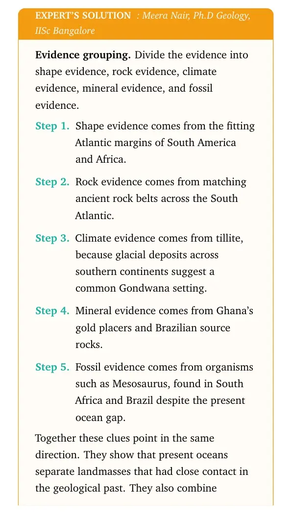
Evidence grouping. Divide the evidence into shape evidence, rock
evidence, climate evidence, mineral evidence, and fossil evidence.
Shape evidence comes from the fitting Atlantic margins of South America
and Africa.
Rock evidence comes from matching ancient rock belts across the South
Atlantic.
Climate evidence comes from tillite, because glacial deposits across
southern continents suggest a common Gondwana setting.
Mineral evidence comes from Ghana's gold placers and Brazilian source
rocks.
Fossil evidence comes from organisms such as Mesosaurus, found in
South Africa and Brazil despite the present ocean gap.
Together these clues point in the same direction. They show that present
oceans separate landmasses that had close contact in the geological past.
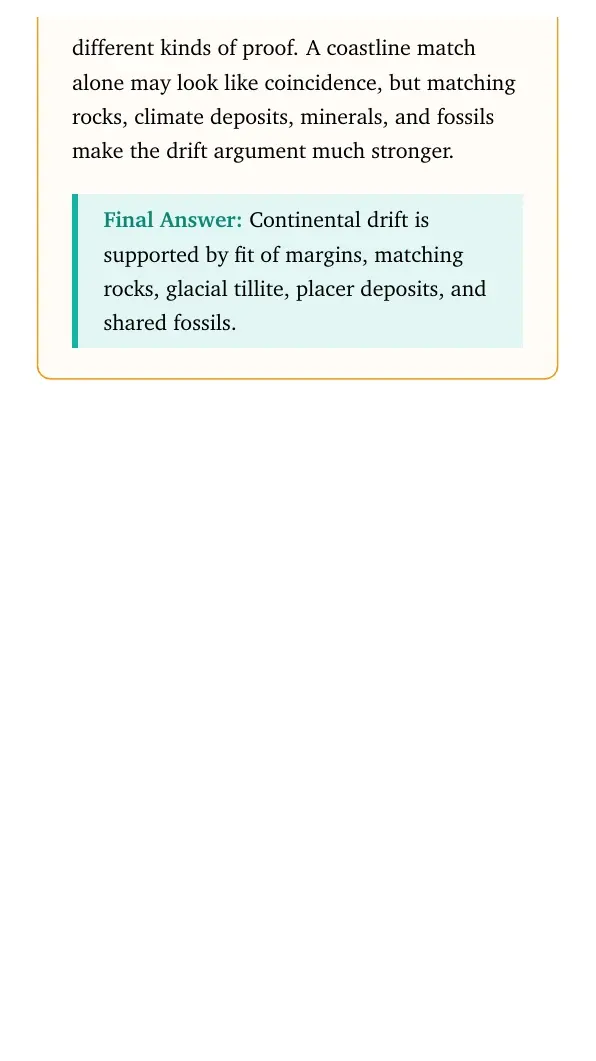
They also combine different kinds of proof. A coastline match alone may look
like coincidence, but matching rocks, climate deposits, minerals, and fossils
make the drift argument much stronger.
Continental drift is supported by fit of margins, matching rocks, glacial tillite, placer deposits, and shared fossils.
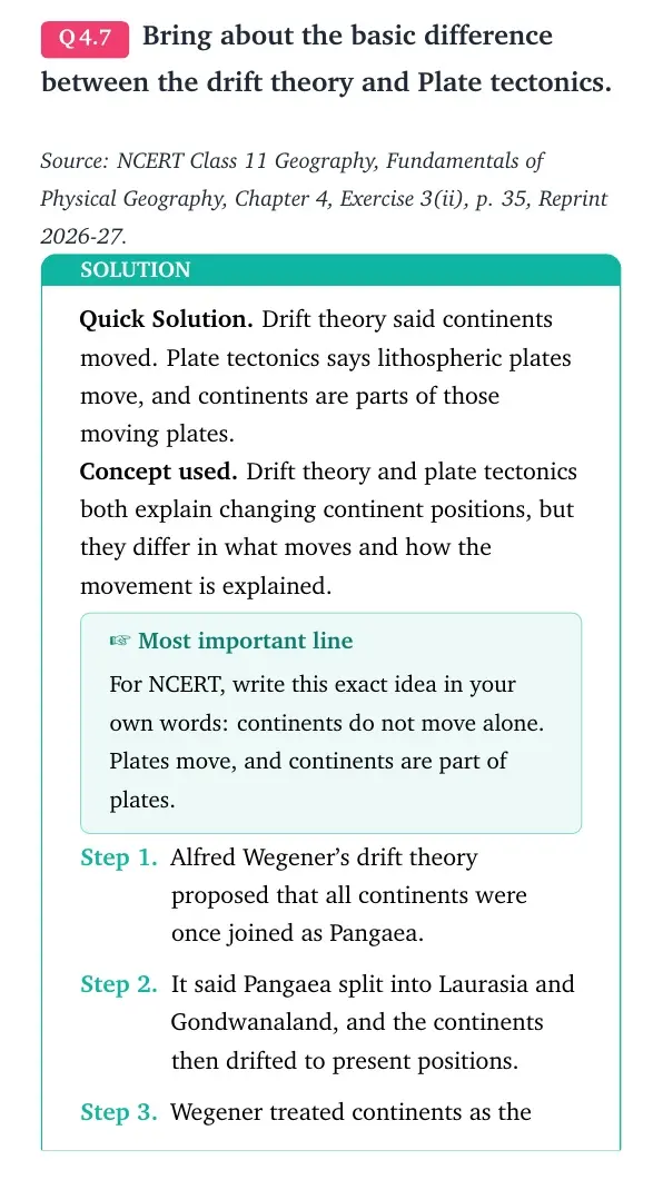
Q 4.7
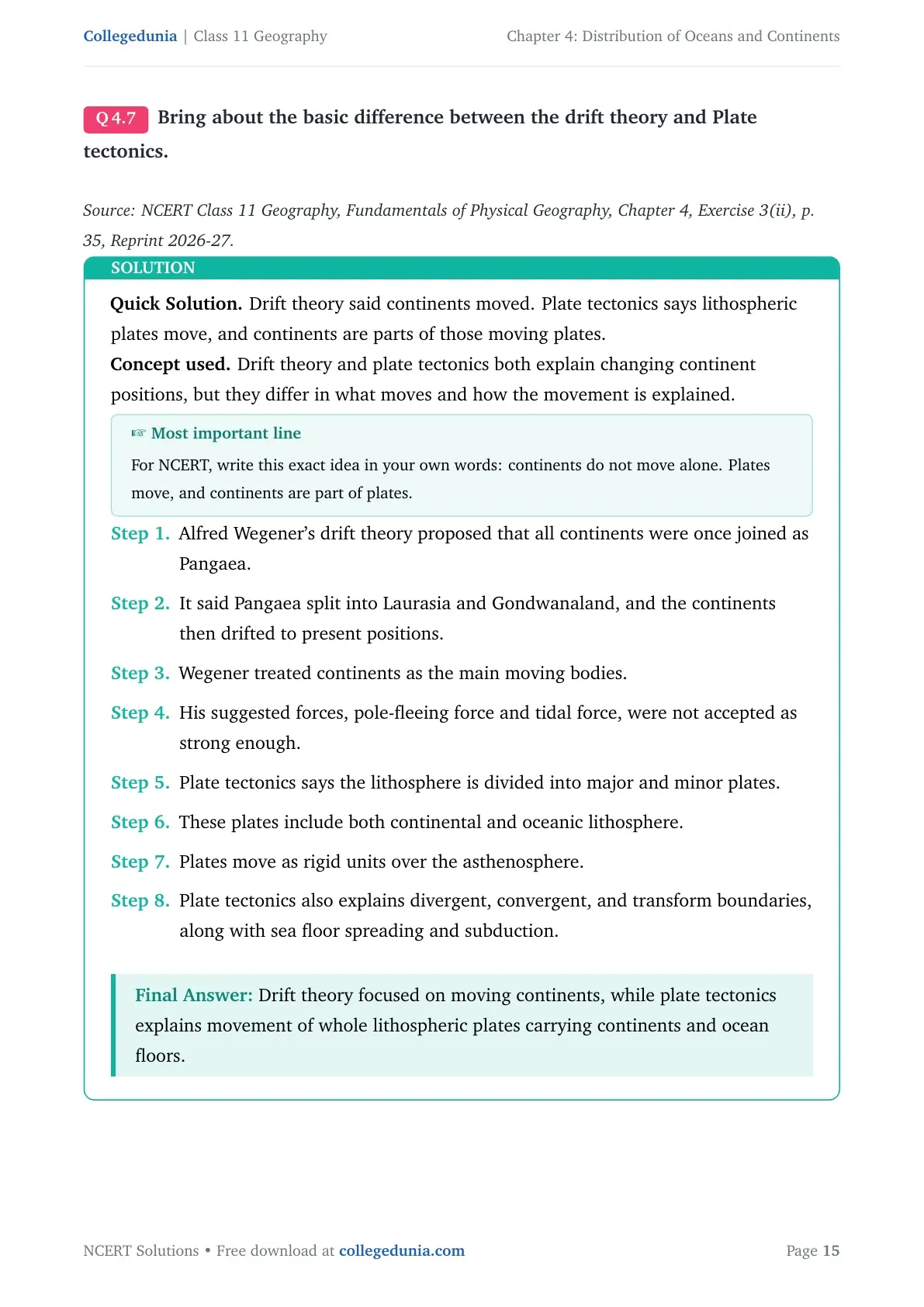
Bring about the basic difference between the drift theory and Plate tectonics.
Quick Solution. Drift theory said continents moved. Plate tectonics
says lithospheric plates move, and continents are parts of those moving plates.
Concept used. Drift theory and plate tectonics both explain changing
continent positions, but they differ in what moves and how the movement is
explained.
Most important line
For NCERT, write this exact idea in your own words: continents do not move
alone. Plates move, and continents are part of plates.
Alfred Wegener's drift theory proposed that all continents were once
joined as Pangaea.
It said Pangaea split into Laurasia and Gondwanaland, and the
continents then drifted to present positions.
Wegener treated continents as the main moving bodies.
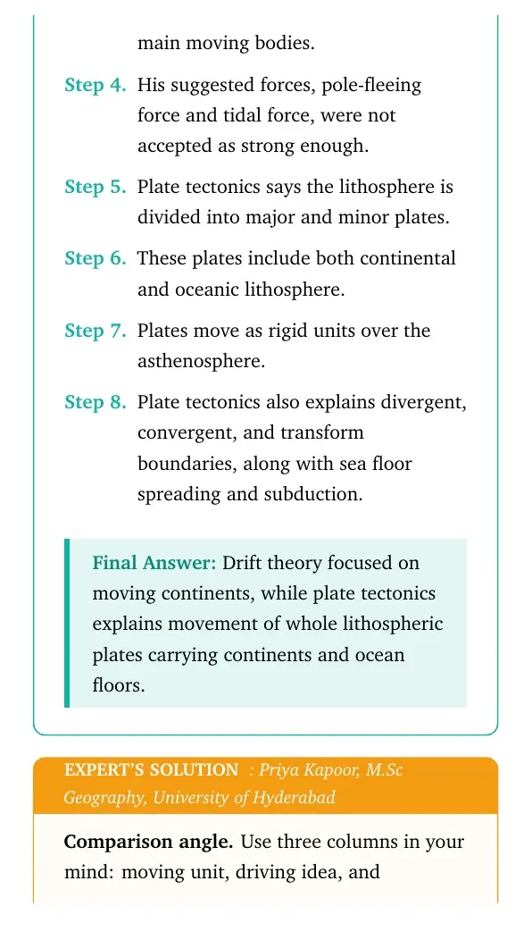
His suggested forces, pole-fleeing force and tidal force, were not
accepted as strong enough.
Plate tectonics says the lithosphere is divided into major and minor
plates.
These plates include both continental and oceanic lithosphere.
Plates move as rigid units over the asthenosphere.
Plate tectonics also explains divergent, convergent, and transform
boundaries, along with sea floor spreading and subduction.
Drift theory focused on moving continents, while plate tectonics explains movement of whole lithospheric plates carrying continents and ocean floors.
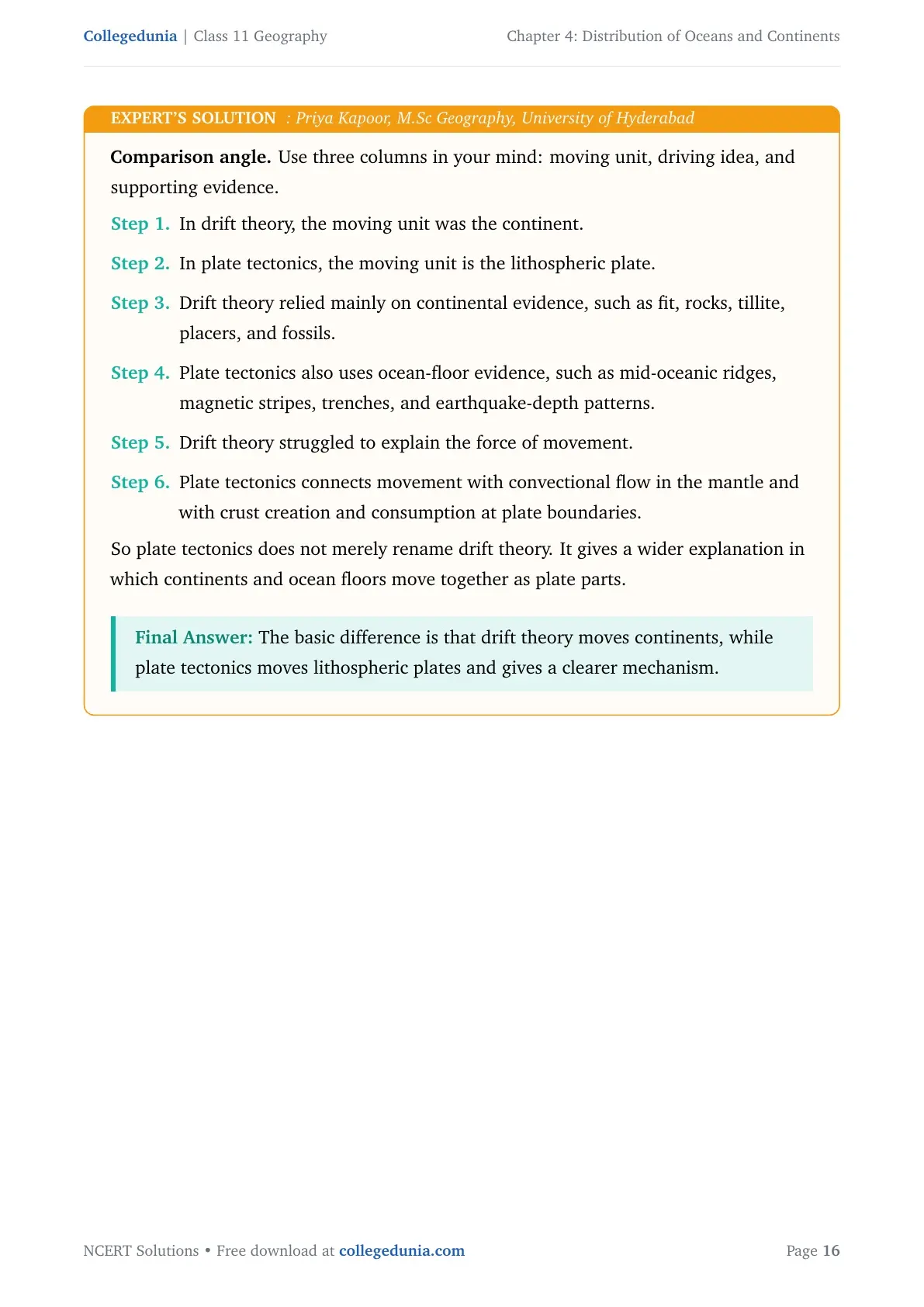
PK
Priya Kapoor
M.Sc Geography, University of Hyderabad
Verified Expert
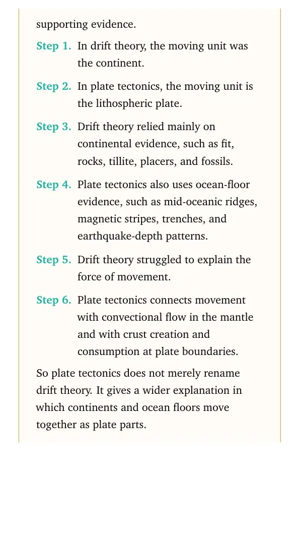
Comparison angle. Use three columns in your mind: moving unit,
driving idea, and supporting evidence.
In drift theory, the moving unit was the continent.
In plate tectonics, the moving unit is the lithospheric plate.
Drift theory relied mainly on continental evidence, such as fit,
rocks, tillite, placers, and fossils.
Plate tectonics also uses ocean-floor evidence, such as mid-oceanic
ridges, magnetic stripes, trenches, and earthquake-depth patterns.
Drift theory struggled to explain the force of movement.
Plate tectonics connects movement with convectional flow in the mantle
and with crust creation and consumption at plate boundaries.
So plate tectonics does not merely rename drift theory. It gives a wider
explanation in which continents and ocean floors move together as plate parts.
The basic difference is that drift theory moves continents, while plate tectonics moves lithospheric plates and gives a clearer mechanism.
Q 4.8
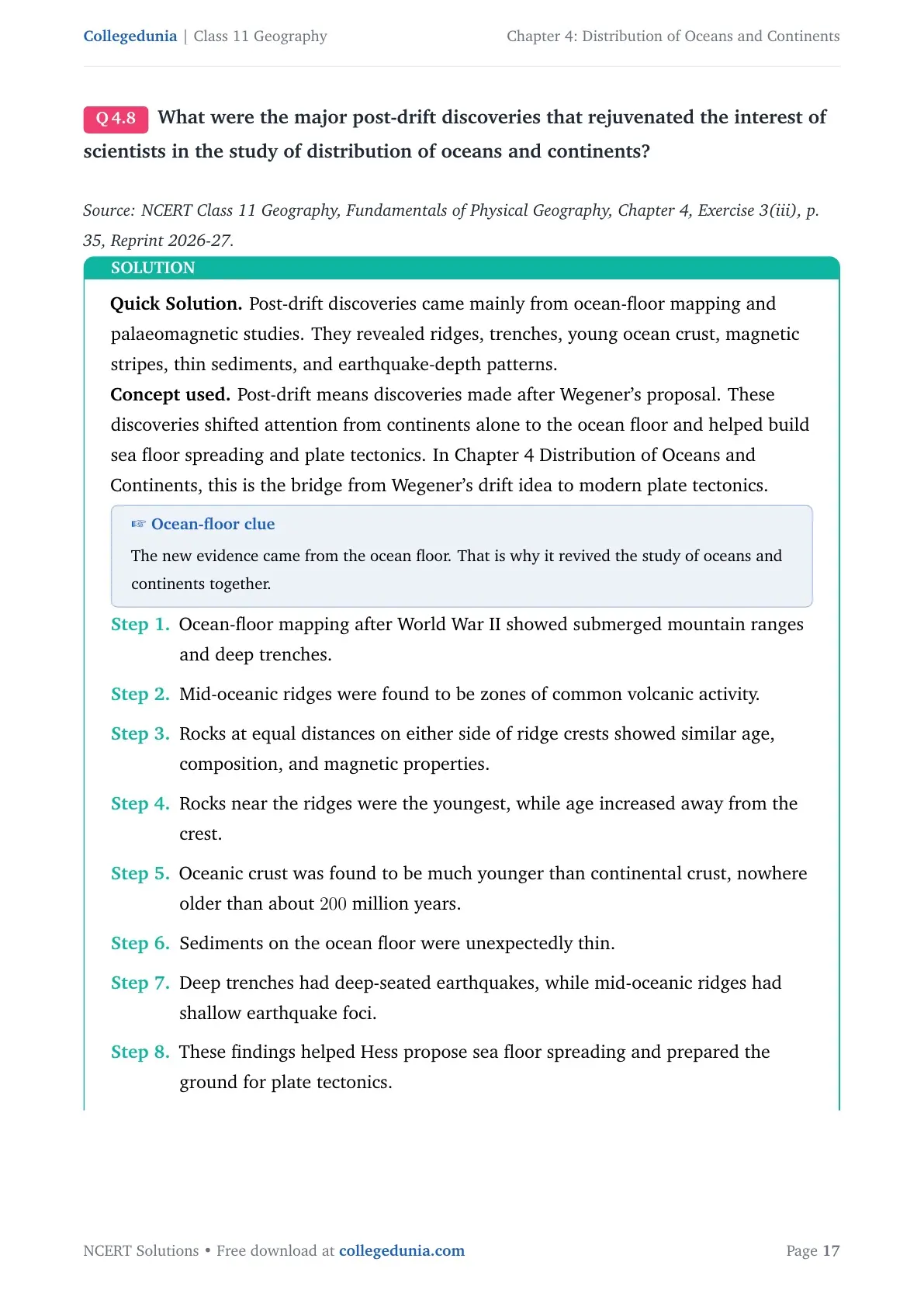
What were the major post-drift discoveries that rejuvenated the interest of scientists in the study of distribution of oceans and continents?
Quick Solution. Post-drift discoveries came mainly from ocean-floor
mapping and palaeomagnetic studies. They revealed ridges, trenches, young
ocean crust, magnetic stripes, thin sediments, and earthquake-depth patterns.
Concept used. Post-drift means discoveries made after Wegener's
proposal. These discoveries shifted attention from continents alone to the
ocean floor and helped build sea floor spreading and plate tectonics. In
Chapter 4 Distribution of Oceans and Continents, this is the bridge from
Wegener's drift idea to modern plate tectonics.
Ocean-floor clue
The new evidence came from the ocean floor. That is why it revived the study
of oceans and continents together.
Ocean-floor mapping after World War II showed submerged mountain
ranges and deep trenches.
Mid-oceanic ridges were found to be zones of common volcanic activity.
Rocks at equal distances on either side of ridge crests showed similar
age, composition, and magnetic properties.
Rocks near the ridges were the youngest, while age increased away from
the crest.
Oceanic crust was found to be much younger than continental crust,
nowhere older than about 200 million years.
Sediments on the ocean floor were unexpectedly thin.
Deep trenches had deep-seated earthquakes, while mid-oceanic ridges
had shallow earthquake foci.
These findings helped Hess propose sea floor spreading and prepared
the ground for plate tectonics.
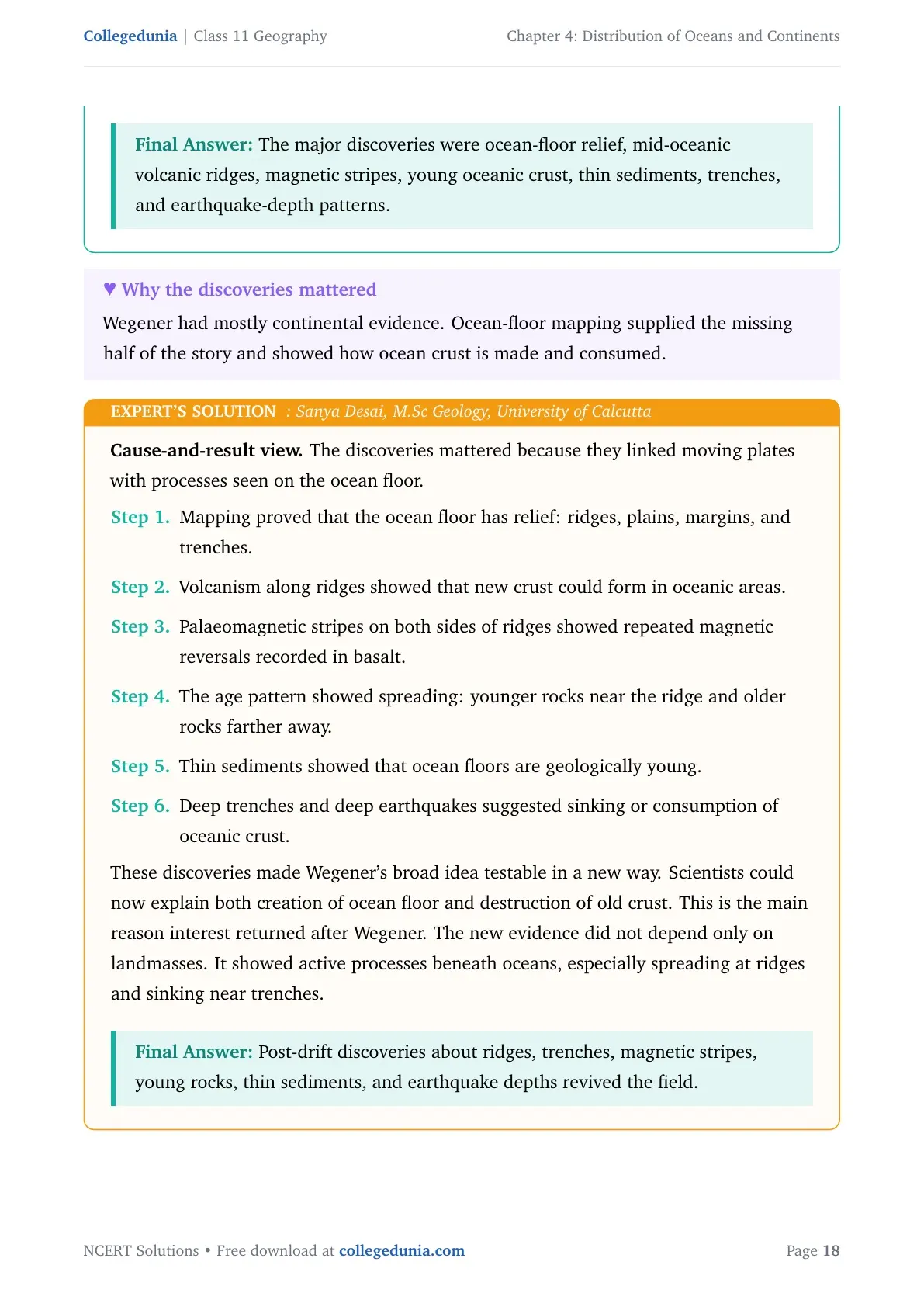
The major discoveries were ocean-floor relief, mid-oceanic volcanic ridges, magnetic stripes, young oceanic crust, thin sediments, trenches, and earthquake-depth patterns.
SD
Sanya Desai
M.Sc Geology, University of Calcutta
Verified Expert
Cause-and-result view. The discoveries mattered because they linked
moving plates with processes seen on the ocean floor.
Mapping proved that the ocean floor has relief: ridges, plains,
margins, and trenches.
Volcanism along ridges showed that new crust could form in oceanic
areas.
Palaeomagnetic stripes on both sides of ridges showed repeated
magnetic reversals recorded in basalt.
The age pattern showed spreading: younger rocks near the ridge and
older rocks farther away.
Thin sediments showed that ocean floors are geologically young.
Deep trenches and deep earthquakes suggested sinking or consumption of
oceanic crust.
These discoveries made Wegener's broad idea testable in a new way. Scientists
could now explain both creation of ocean floor and destruction of old crust.
This is the main reason interest returned after Wegener. The new evidence did
not depend only on landmasses. It showed active processes beneath oceans,
especially spreading at ridges and sinking near trenches.
Post-drift discoveries about ridges, trenches, magnetic stripes, young rocks, thin sediments, and earthquake depths revived the field.
Distribution of Oceans and Continents Class 11 Geography NCERT Solutions FAQs
Ques. What is the MCQ answer key for Class 11 Geography Chapter 4 Distribution of Oceans and Continents?
Ans. The MCQ answer key is (i) (c), (ii) (c), (iii) (d), (iv) (c), and (v) (d). These options cover Abraham Ortelius, pole-fleeing force, Antarctica as a major plate, fossil distribution, and continent-continent convergence.
Ques. What is the main difference between continental drift and plate tectonics?
Ans. Continental drift says that continents changed position over time. Plate tectonics explains that lithospheric plates move, and continents are parts of these moving plates. This makes plate tectonics the broader and more complete explanation.
Ques. Why is sea-floor spreading important in this chapter?
Ans. Sea-floor spreading gave strong post-drift evidence through mid-oceanic ridges, symmetrical magnetic stripes, young ocean-floor rocks, and deep trenches. These discoveries helped scientists explain how crust is created and destroyed.
Ques. Which boundary forms the Himalayas according to Class 11 Geography Chapter 4?
Ans. The Himalayas are explained as a continent-continent convergent boundary. The Indian plate moved northward and collided with the Eurasian plate, producing the mountain-building process described in NCERT.







Comments