The NCERT Solutions for Class 11 Geography Chapter 6 Landforms and their Evolution cover all exercise questions from the latest 2026-27 NCERT book. The chapter explains how running water, groundwater, glaciers, wind and waves create erosional and depositional landforms.
The PDF solves 10 exercise and project questions from Landforms and their Evolution.
Key topics include meanders, floodplains, karst, lapies, uvalas, cirques, moraines, sand dunes and coastal landforms.
Use the embedded question cards below for direct answers and expert explanations.
Student Feedback: In a Collegedunia student survey of 12,080 Class 11 Geography students before the 2026 exams, many students said this chapter becomes easier when every agent is revised with one erosion feature and one deposition feature. Keep karst, glacial and running-water terms in separate columns while practising.
Each answer in this Class 11 Geography Chapter 6 solutions PDF follows the 2026-27 NCERT exercise and keeps the language school-exam ready.
Landforms and their Evolution Answer Key and Exercise Pattern
The exercise checks whether students can connect each geomorphic agent with the landforms it makes. The MCQs are direct, while the short and long answers need process-based reasoning on rivers, limestone solution, glaciers, wind and project observation.
Exercise area
Questions
What it checks
MCQs
5 parts
River stages, canyon, chemical solution, lapies and cirques
Short answers
4 questions
Meanders, uvalas, limestone drainage and glacial deposits
Long answers
2 questions
Running water in different climates and landforms in arid regions
Project work
1 task
Local observation of slopes, streams, soil, erosion and deposition
The MCQ key used in the PDF is (a), (d), (b), (d), and (a). The third item is answered as limestone region because the NCERT paragraph around the question is about solution work in limestone.
Landforms and their Evolution Class 11 Video Lesson
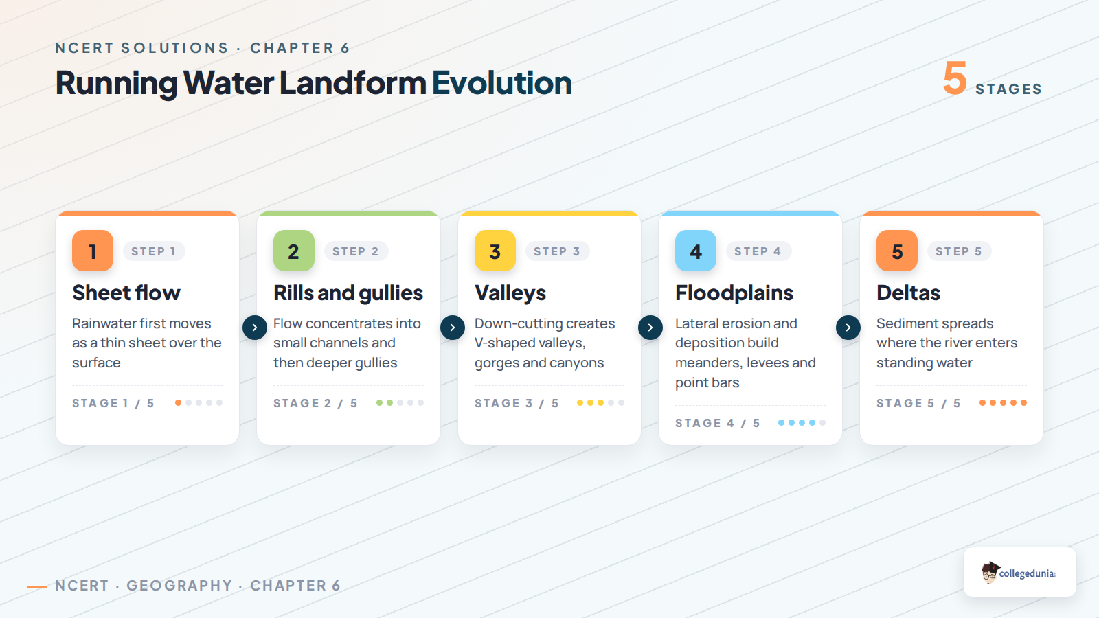
Running water is the dominant geomorphic agent in humid regions. In the youthful stage, steep gradients help rivers cut V-shaped valleys, gorges and canyons. In the mature stage, lateral erosion becomes stronger and meanders, floodplains and oxbow lakes begin to form.
Upper course: vertical erosion creates narrow valleys and deep gorges.
Middle course: lateral erosion creates meanders and wider valley floors.
Lower course: deposition creates floodplains, levees and deltas.
For answer writing, name the stage first and then write the landform created by erosion or deposition.
Karst and Groundwater Landforms
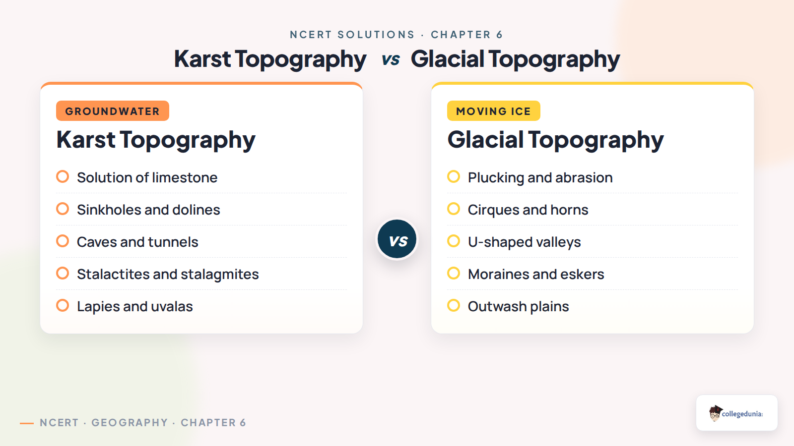
Karst landforms develop where groundwater dissolves limestone. Small solution grooves are called lapies. Wider depressions form sinkholes, and the merging of sinkholes forms uvalas. Inside caves, dissolved material may deposit as stalactites, stalagmites and pillars.
Karst feature
Main process
Revision cue
Lapies
Solution along limestone joints
Sharp ridges and grooves
Sinkhole
Solution or roof collapse
Small closed depression
Uvala
Coalescence of many sinkholes
Larger irregular depression
Stalactite and stalagmite
Deposition inside caves
Roof-down and floor-up growth
Glacial, Wind and Coastal Landforms
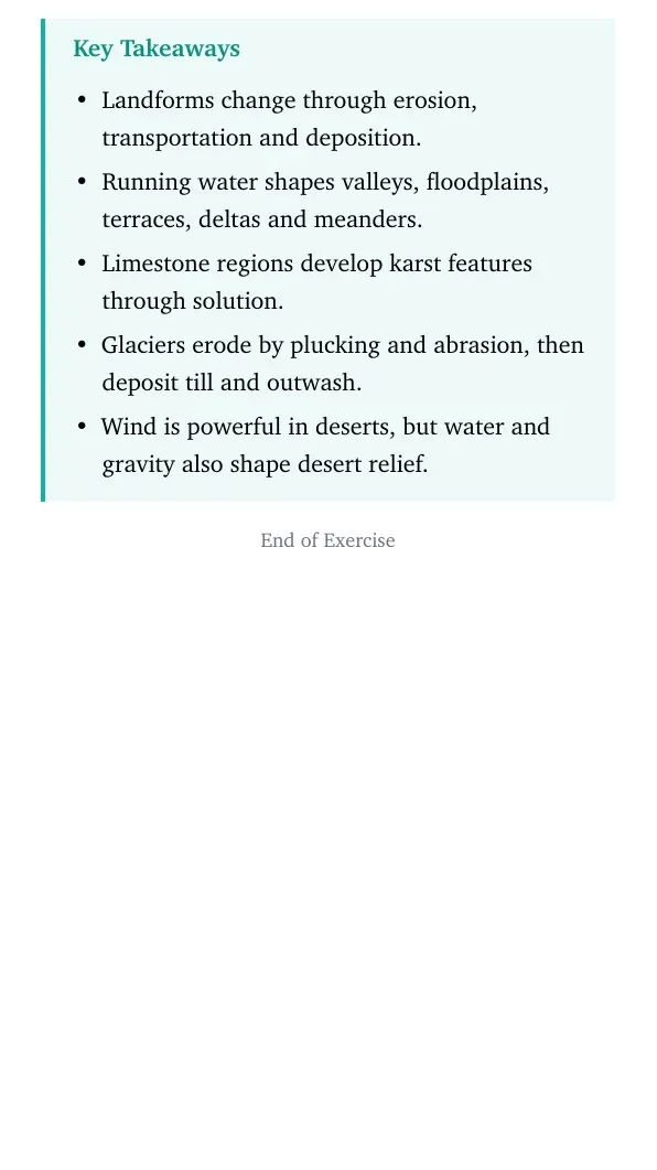
Glaciers erode high mountains through plucking and abrasion and deposit till when the ice melts. Cirques, horns, arêtes and U-shaped valleys show glacial erosion, while moraines, drumlins and eskers show glacial deposition. In deserts, wind erosion creates deflation hollows and mushroom rocks, while deposition creates dunes and loess. Sea waves cut cliffs and sea caves, and deposit beaches, bars and spits.
Glacial cue: ice is slow but powerful because it carries rock debris like tools.
Wind cue: wind is strongest where vegetation is sparse and dry sand is loose.
Coastal cue: waves erode exposed rocks and deposit material where energy falls.
How to Use the Class 11 Geography Chapter 6 Solutions PDF
Use the PDF in two rounds. First, revise the MCQ key and definitions. Then write one process chain for each agent so that the link between erosion, transportation and deposition stays clear.
For rivers, revise youthful, mature and old stages with matching landforms.
For karst, write limestone, solution, underground drainage and cave deposits together.
For glaciers, separate erosional landforms from depositional landforms.
For project work, observe slope, drainage, soil texture, erosion marks and deposition zones.
Quick recall: Every landform has a process, an agent and a material context. Write all three in long answers.
All NCERT Solutions for Class 11 Geography Chapter 6 Landforms and their Evolution with Step-by-Step Solutions
The cards below include every exercise question. Use Check Solution for the direct answer and Expert Solution for a second explanation.
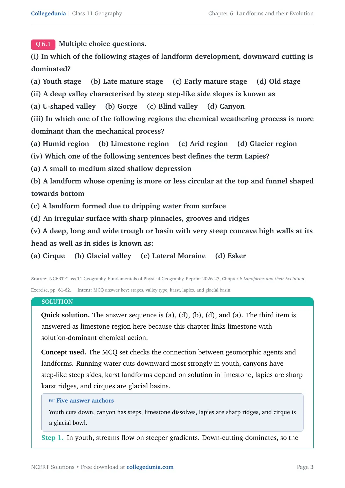
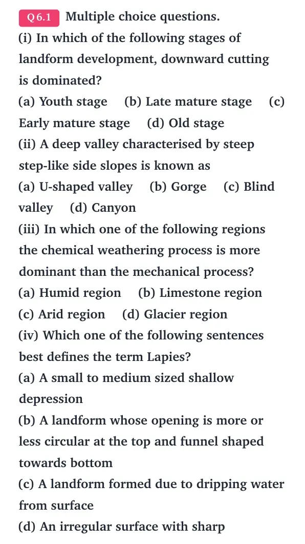
Q 6.1
Multiple choice questions.
(i) In which of the following stages of landform development, downward cutting is dominated?
(a) Youth stage (b) Late mature stage (c) Early mature stage (d) Old stage
(ii) A deep valley characterised by steep step-like side slopes is known as
(a) U-shaped valley (b) Gorge (c) Blind valley (d) Canyon
(iii) In which one of the following regions the chemical weathering process is more dominant than the mechanical process?
(a) Humid region (b) Limestone region (c) Arid region (d) Glacier region
(iv) Which one of the following sentences best defines the term Lapies?
(a) A small to medium sized shallow depression
(b) A landform whose opening is more or less circular at the top and funnel shaped towards bottom
(c) A landform formed due to dripping water from surface
(d) An irregular surface with sharp pinnacles, grooves and ridges
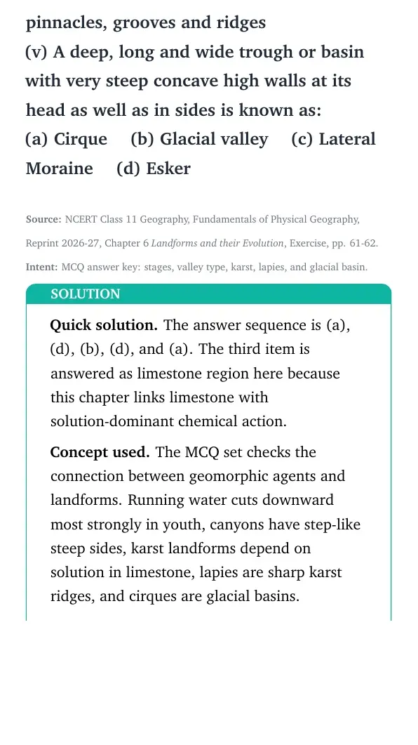
(v) A deep, long and wide trough or basin with very steep concave high walls at its head as well as in sides is known as:
(a) Cirque (b) Glacial valley (c) Lateral Moraine (d) Esker
The answer sequence is (a), (d), (b), (d), and (a). The third item is answered as limestone region here because this chapter links limestone with solution-dominant chemical action.
Concept used. The MCQ set checks the connection between geomorphic agents and landforms. Running water cuts downward most strongly in youth, canyons have step-like steep sides, karst landforms depend on solution in limestone, lapies are sharp karst ridges, and cirques are glacial basins.
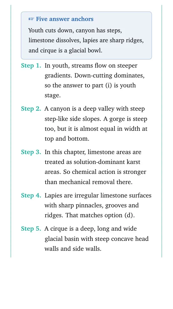
Five answer anchors
Youth cuts down, canyon has steps, limestone dissolves, lapies are sharp ridges, and cirque is a glacial bowl.
In youth, streams flow on steeper gradients. Down-cutting dominates, so the answer to part (i) is youth stage.
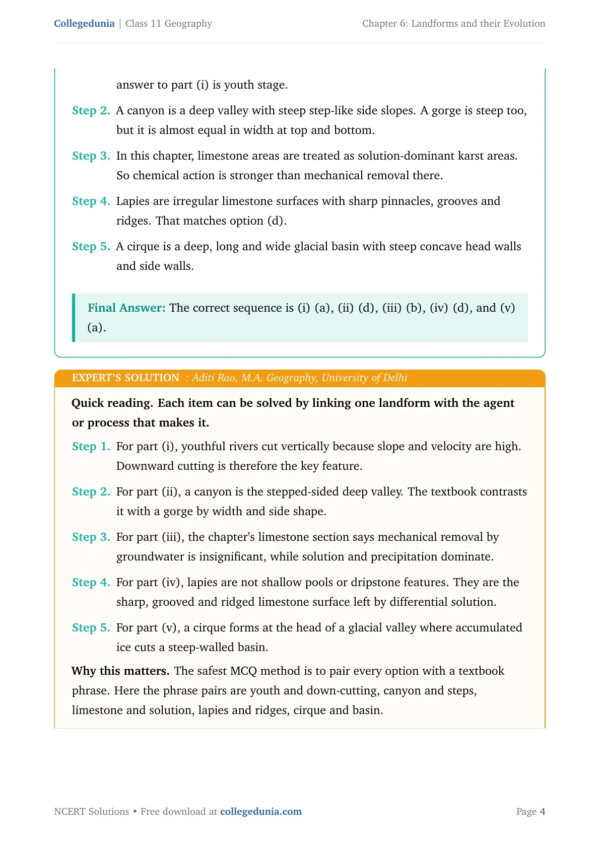
A canyon is a deep valley with steep step-like side slopes. A gorge is steep too, but it is almost equal in width at top and bottom.
In this chapter, limestone areas are treated as solution-dominant karst areas. So chemical action is stronger than mechanical removal there.
Lapies are irregular limestone surfaces with sharp pinnacles, grooves and ridges. That matches option (d).
A cirque is a deep, long and wide glacial basin with steep concave head walls and side walls.
The correct sequence is (i) (a), (ii) (d), (iii) (b), (iv) (d), and (v) (a).
AR
Aditi Rao
M.A. Geography, University of Delhi
Verified Expert
Quick reading. Each item can be solved by linking one landform with the agent or process that makes it.
For part (i), youthful rivers cut vertically because slope and velocity are high. Downward cutting is therefore the key feature.
For part (ii), a canyon is the stepped-sided deep valley. The textbook contrasts it with a gorge by width and side shape.
For part (iii), the chapter's limestone section says mechanical removal by groundwater is insignificant, while solution and precipitation dominate.
For part (iv), lapies are not shallow pools or dripstone features. They are the sharp, grooved and ridged limestone surface left by differential solution.
For part (v), a cirque forms at the head of a glacial valley where accumulated ice cuts a steep-walled basin.
Why this matters. The safest MCQ method is to pair every option with a textbook phrase. Here the phrase pairs are youth and down-cutting, canyon and steps, limestone and solution, lapies and ridges, cirque and basin.
Use the sequence (a), (d), (b), (d), and (a), with limestone chosen for the chapter's karst-context weathering item.
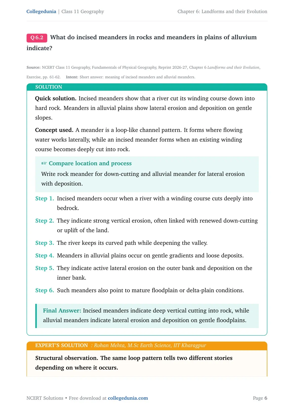
Q 6.2
What do incised meanders in rocks and meanders in plains of alluvium indicate?
Incised meanders show that a river cut its winding course down into hard rock. Meanders in alluvial plains show lateral erosion and deposition on gentle slopes.
Concept used. A meander is a loop-like channel pattern. It forms where flowing water works laterally, while an incised meander forms when an existing winding course becomes deeply cut into rock.
Compare location and process
Write rock meander for down-cutting and alluvial meander for lateral erosion with deposition.
Incised meanders occur when a river with a winding course cuts deeply into bedrock.
They indicate strong vertical erosion, often linked with renewed down-cutting or uplift of the land.
The river keeps its curved path while deepening the valley.
Meanders in alluvial plains occur on gentle gradients and loose deposits.
They indicate active lateral erosion on the outer bank and deposition on the inner bank.
Such meanders also point to mature floodplain or delta-plain conditions.
Incised meanders indicate deep vertical cutting into rock, while alluvial meanders indicate lateral erosion and deposition on gentle floodplains.
RM
Rohan Mehta
M.Sc Earth Science, IIT Kharagpur
Verified Expert
Structural observation. The same loop pattern tells two different stories depending on where it occurs.
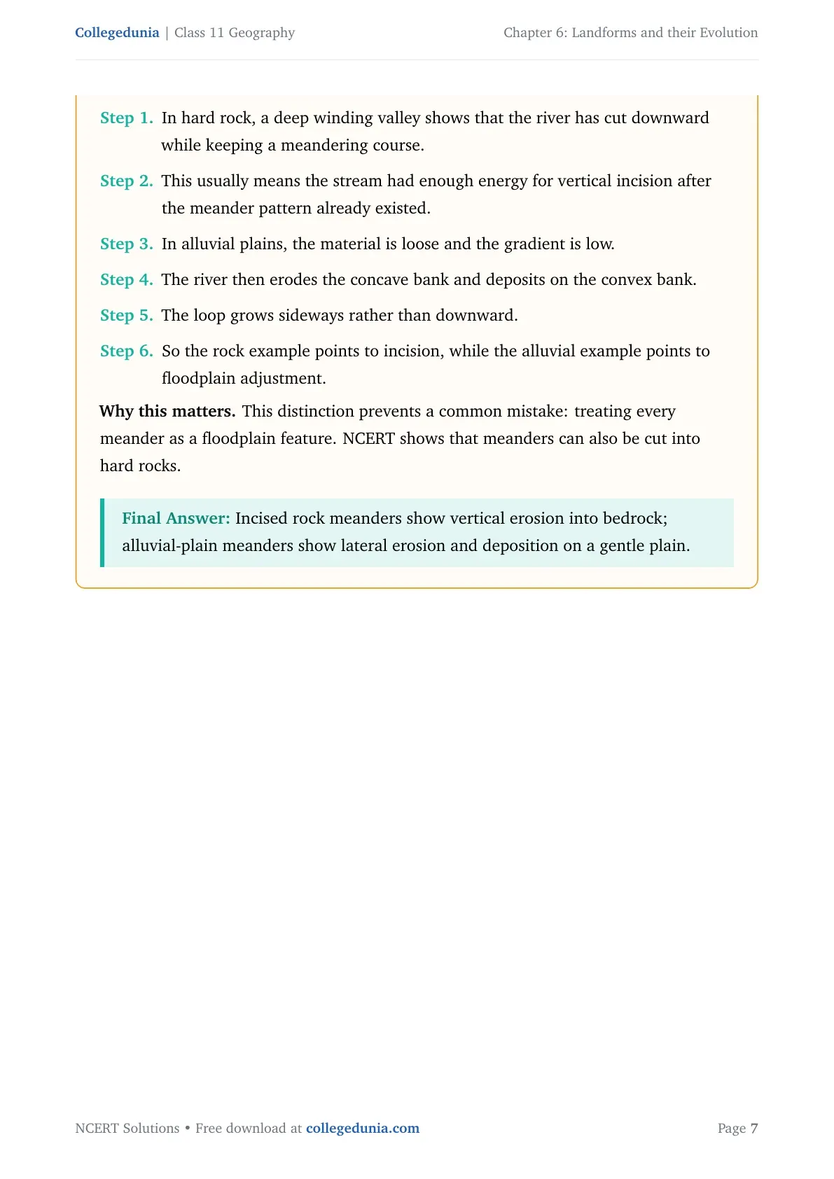
In hard rock, a deep winding valley shows that the river has cut downward while keeping a meandering course.
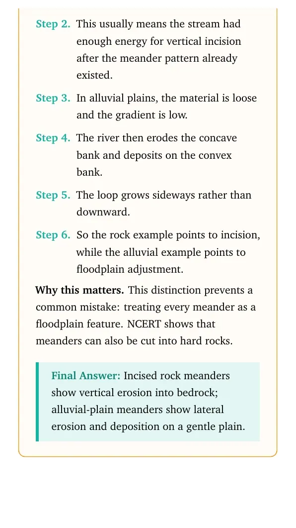
This usually means the stream had enough energy for vertical incision after the meander pattern already existed.
In alluvial plains, the material is loose and the gradient is low.
The river then erodes the concave bank and deposits on the convex bank.
The loop grows sideways rather than downward.
So the rock example points to incision, while the alluvial example points to floodplain adjustment.
Why this matters. This distinction prevents a common mistake: treating every meander as a floodplain feature. NCERT shows that meanders can also be cut into hard rocks.
Incised rock meanders show vertical erosion into bedrock; alluvial-plain meanders show lateral erosion and deposition on a gentle plain.
Q 6.3
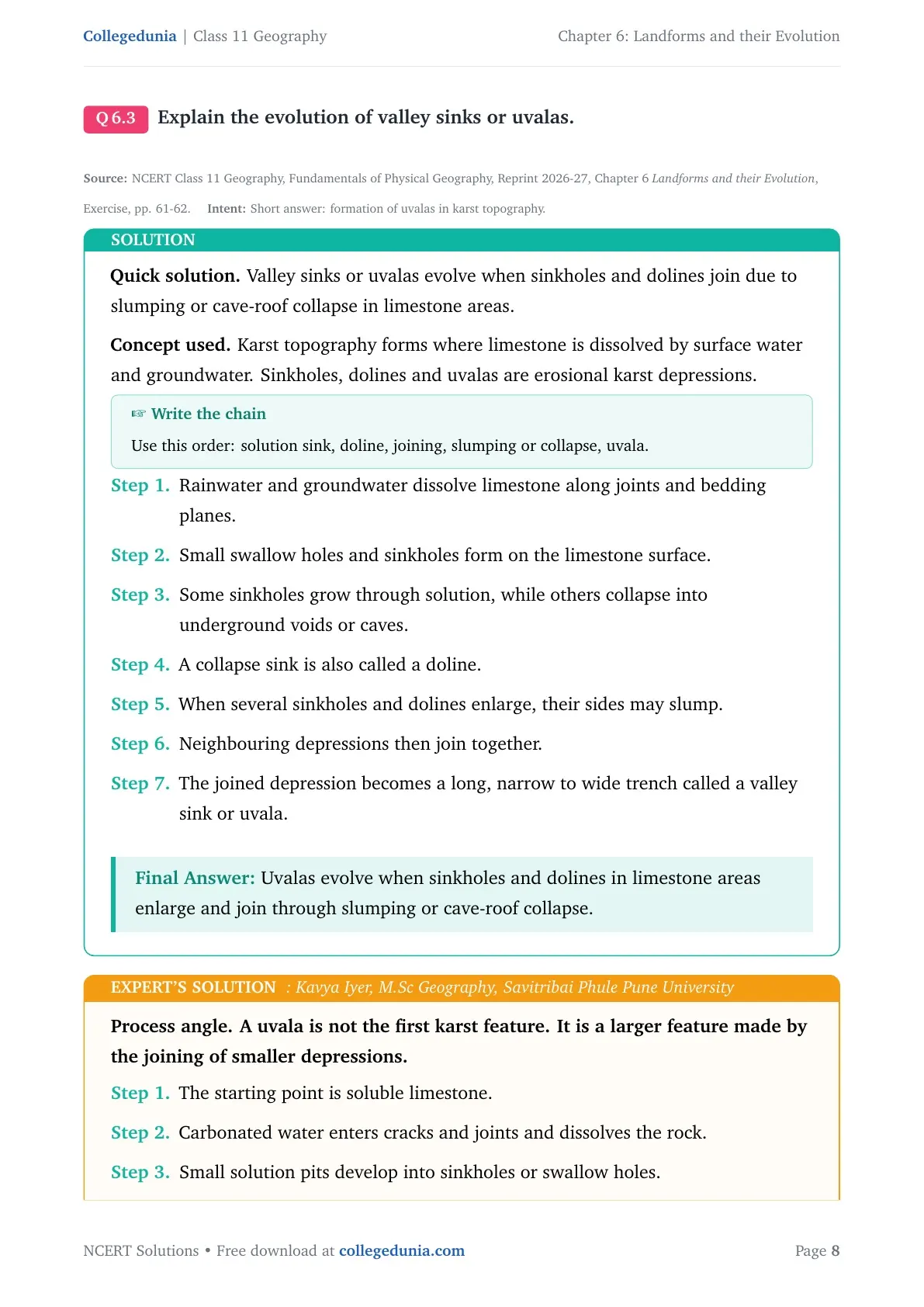
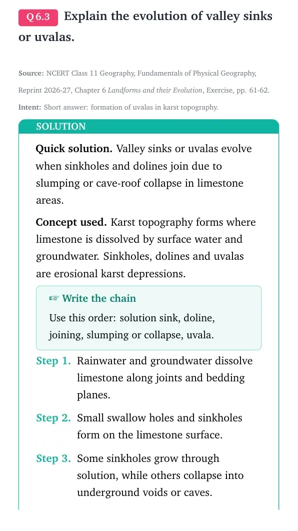
Explain the evolution of valley sinks or uvalas.
Valley sinks or uvalas evolve when sinkholes and dolines join due to slumping or cave-roof collapse in limestone areas.
Concept used. Karst topography forms where limestone is dissolved by surface water and groundwater. Sinkholes, dolines and uvalas are erosional karst depressions.
Write the chain
Use this order: solution sink, doline, joining, slumping or collapse, uvala.
Rainwater and groundwater dissolve limestone along joints and bedding planes.
Small swallow holes and sinkholes form on the limestone surface.
Some sinkholes grow through solution, while others collapse into underground voids or caves.
A collapse sink is also called a doline.
When several sinkholes and dolines enlarge, their sides may slump.
Neighbouring depressions then join together.
The joined depression becomes a long, narrow to wide trench called a valley sink or uvala.
Uvalas evolve when sinkholes and dolines in limestone areas enlarge and join through slumping or cave-roof collapse.
KI
Kavya Iyer
M.Sc Geography, Savitribai Phule Pune University
Verified Expert
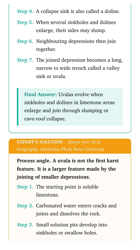
Process angle. A uvala is not the first karst feature. It is a larger feature made by the joining of smaller depressions.
The starting point is soluble limestone.
Carbonated water enters cracks and joints and dissolves the rock.
Small solution pits develop into sinkholes or swallow holes.
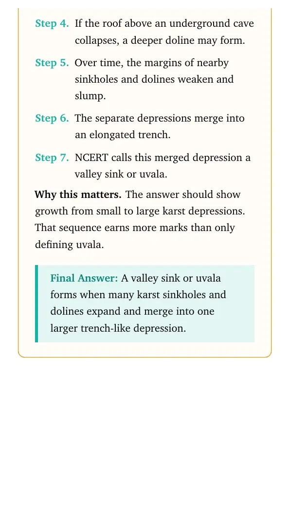
If the roof above an underground cave collapses, a deeper doline may form.
Over time, the margins of nearby sinkholes and dolines weaken and slump.
The separate depressions merge into an elongated trench.
NCERT calls this merged depression a valley sink or uvala.
Why this matters. The answer should show growth from small to large karst depressions. That sequence earns more marks than only defining uvala.
A valley sink or uvala forms when many karst sinkholes and dolines expand and merge into one larger trench-like depression.
Q 6.4
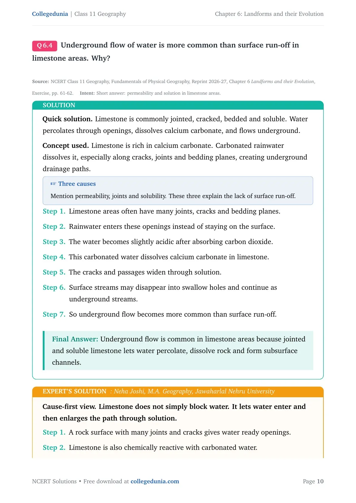
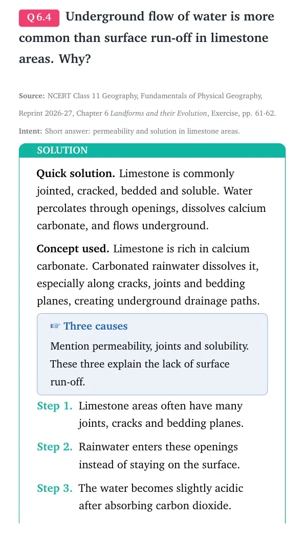
Underground flow of water is more common than surface run-off in limestone areas. Why?
Limestone is commonly jointed, cracked, bedded and soluble. Water percolates through openings, dissolves calcium carbonate, and flows underground.
Concept used. Limestone is rich in calcium carbonate. Carbonated rainwater dissolves it, especially along cracks, joints and bedding planes, creating underground drainage paths.
Three causes
Mention permeability, joints and solubility. These three explain the lack of surface run-off.
Limestone areas often have many joints, cracks and bedding planes.
Rainwater enters these openings instead of staying on the surface.
The water becomes slightly acidic after absorbing carbon dioxide.
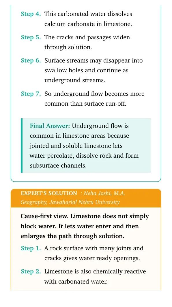
This carbonated water dissolves calcium carbonate in limestone.
The cracks and passages widen through solution.
Surface streams may disappear into swallow holes and continue as underground streams.
So underground flow becomes more common than surface run-off.
Underground flow is common in limestone areas because jointed and soluble limestone lets water percolate, dissolve rock and form subsurface channels.
NJ
Neha Joshi
M.A. Geography, Jawaharlal Nehru University
Verified Expert
Cause-first view. Limestone does not simply block water. It lets water enter and then enlarges the path through solution.
A rock surface with many joints and cracks gives water ready openings.
Limestone is also chemically reactive with carbonated water.
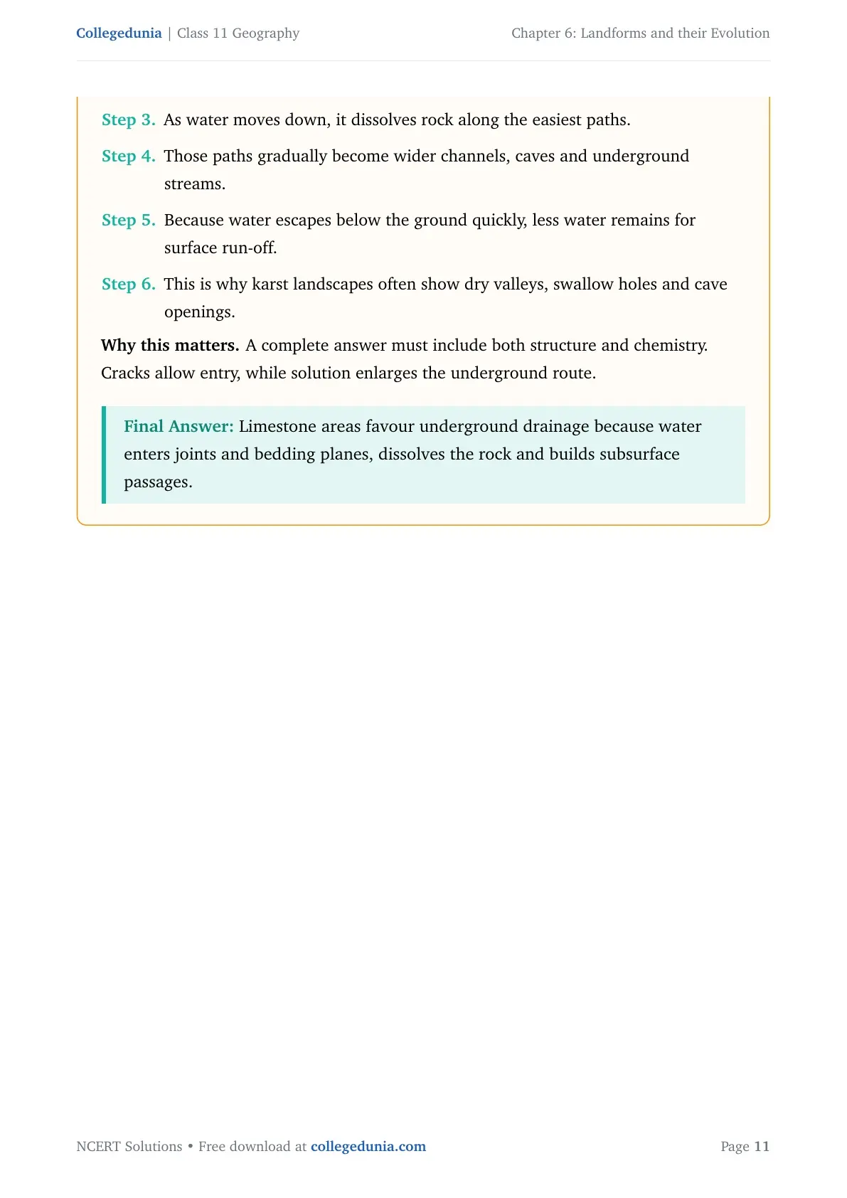
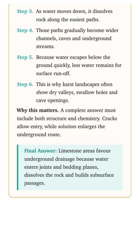
As water moves down, it dissolves rock along the easiest paths.
Those paths gradually become wider channels, caves and underground streams.
Because water escapes below the ground quickly, less water remains for surface run-off.
This is why karst landscapes often show dry valleys, swallow holes and cave openings.
Why this matters. A complete answer must include both structure and chemistry. Cracks allow entry, while solution enlarges the underground route.
Limestone areas favour underground drainage because water enters joints and bedding planes, dissolves the rock and builds subsurface passages.
Q 6.5
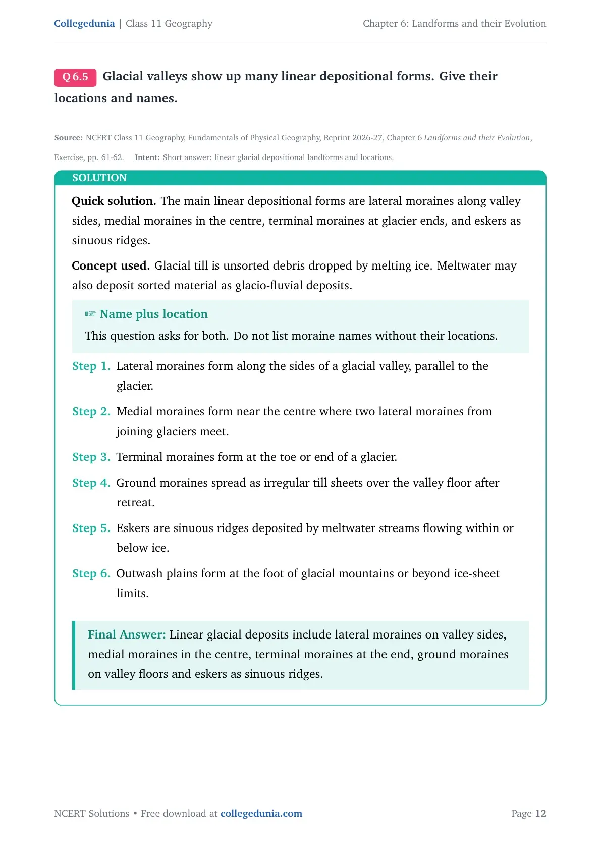
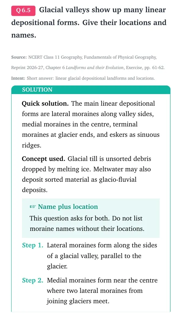
Glacial valleys show up many linear depositional forms. Give their locations and names.
The main linear depositional forms are lateral moraines along valley sides, medial moraines in the centre, terminal moraines at glacier ends, and eskers as sinuous ridges.
Concept used. Glacial till is unsorted debris dropped by melting ice. Meltwater may also deposit sorted material as glacio-fluvial deposits.
Name plus location
This question asks for both. Do not list moraine names without their locations.
Lateral moraines form along the sides of a glacial valley, parallel to the glacier.
Medial moraines form near the centre where two lateral moraines from joining glaciers meet.
Terminal moraines form at the toe or end of a glacier.
Ground moraines spread as irregular till sheets over the valley floor after retreat.
Eskers are sinuous ridges deposited by meltwater streams flowing within or below ice.
Outwash plains form at the foot of glacial mountains or beyond ice-sheet limits.
Linear glacial deposits include lateral moraines on valley sides, medial moraines in the centre, terminal moraines at the end, ground moraines on valley floors and eskers as sinuous ridges.
AS
Arjun Singh
M.Sc Geology, Banaras Hindu University
Verified Expert
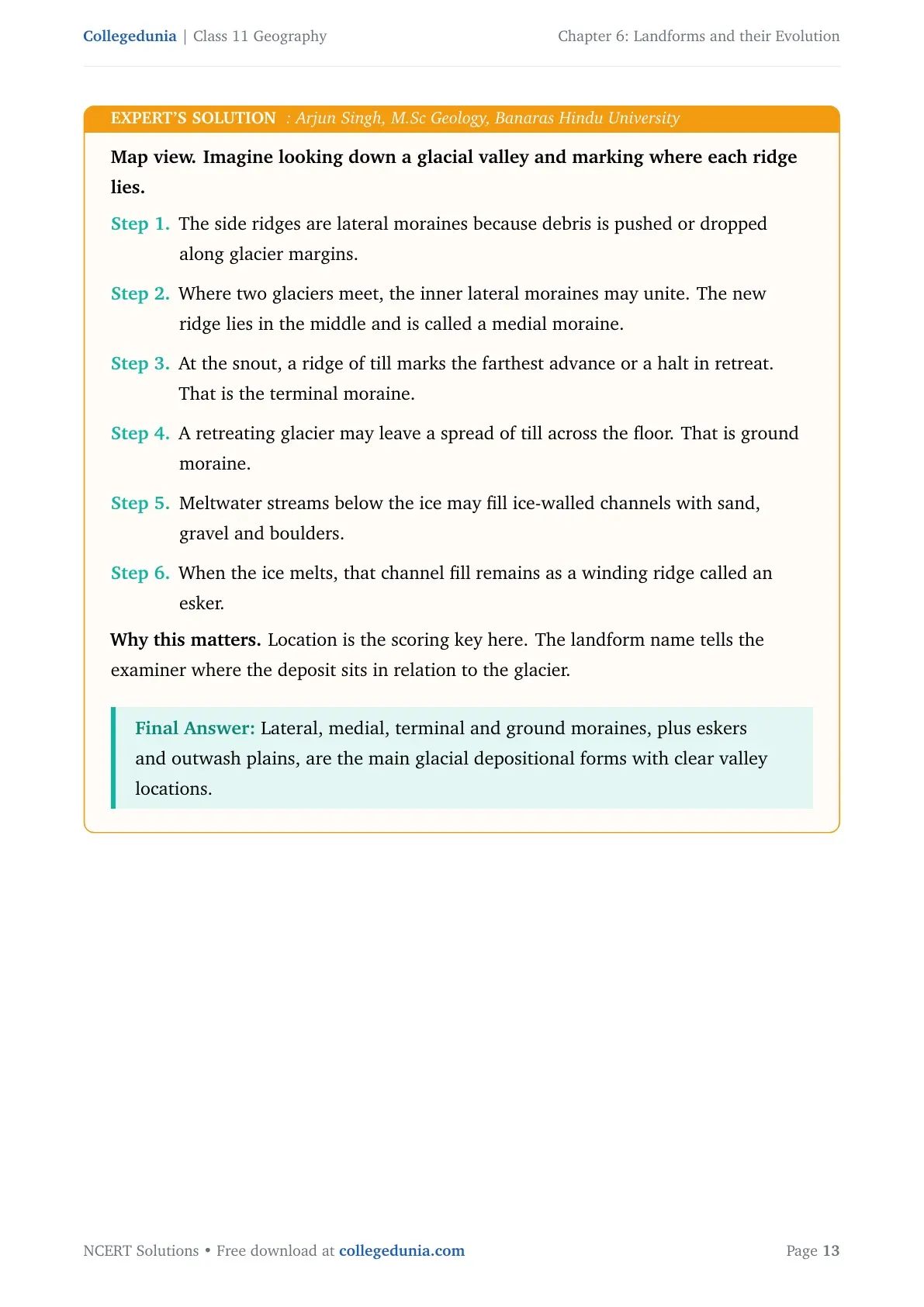
Map view. Imagine looking down a glacial valley and marking where each ridge lies.
The side ridges are lateral moraines because debris is pushed or dropped along glacier margins.
Where two glaciers meet, the inner lateral moraines may unite. The new ridge lies in the middle and is called a medial moraine.
At the snout, a ridge of till marks the farthest advance or a halt in retreat. That is the terminal moraine.
A retreating glacier may leave a spread of till across the floor. That is ground moraine.
Meltwater streams below the ice may fill ice-walled channels with sand, gravel and boulders.
When the ice melts, that channel fill remains as a winding ridge called an esker.
Why this matters. Location is the scoring key here. The landform name tells the examiner where the deposit sits in relation to the glacier.
Lateral, medial, terminal and ground moraines, plus eskers and outwash plains, are the main glacial depositional forms with clear valley locations.
Q 6.6
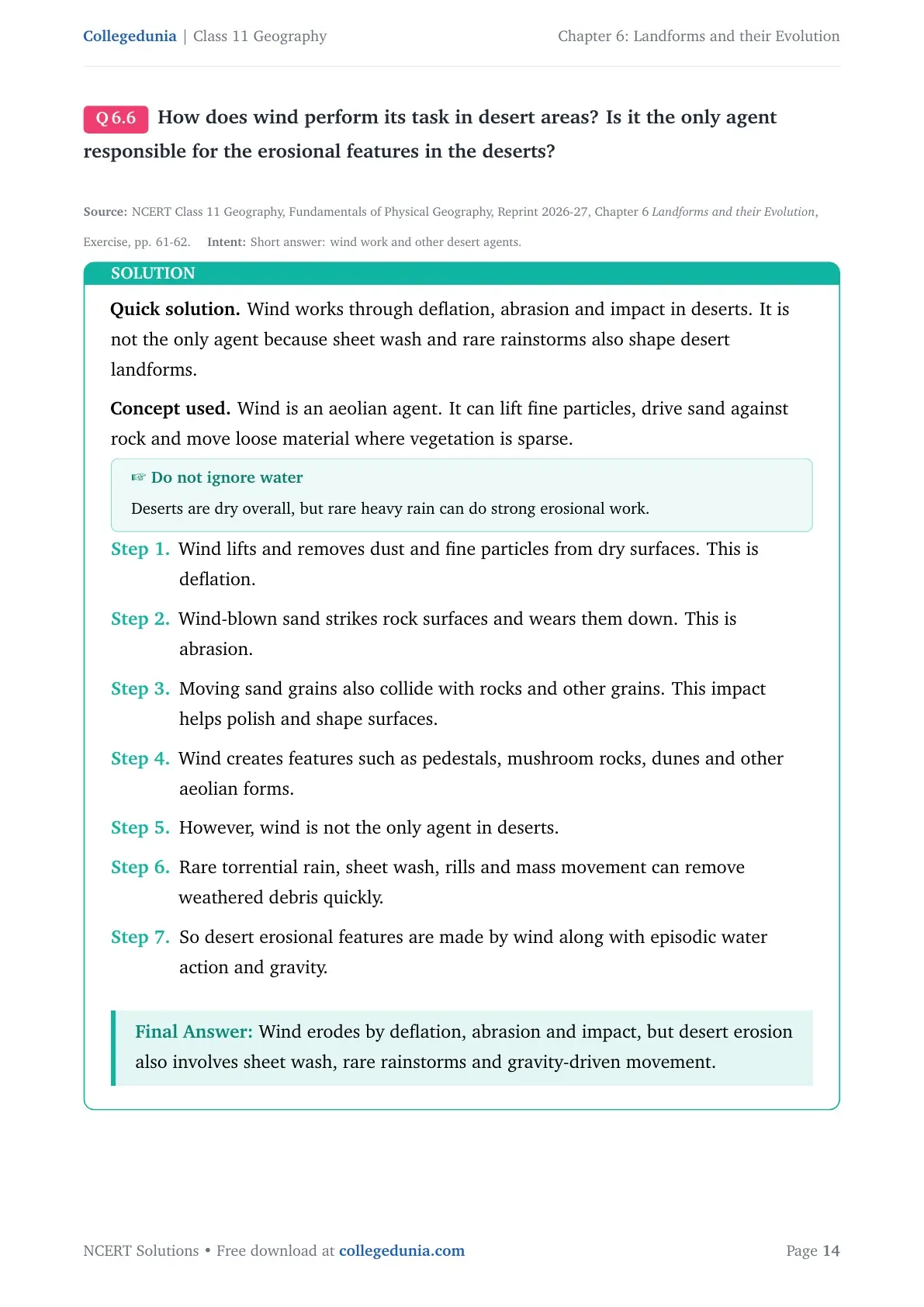
How does wind perform its task in desert areas? Is it the only agent responsible for the erosional features in the deserts?
Wind works through deflation, abrasion and impact in deserts. It is not the only agent because sheet wash and rare rainstorms also shape desert landforms.
Concept used. Wind is an aeolian agent. It can lift fine particles, drive sand against rock and move loose material where vegetation is sparse.
Do not ignore water
Deserts are dry overall, but rare heavy rain can do strong erosional work.
Wind lifts and removes dust and fine particles from dry surfaces. This is deflation.
Wind-blown sand strikes rock surfaces and wears them down. This is abrasion.
Moving sand grains also collide with rocks and other grains. This impact helps polish and shape surfaces.
Wind creates features such as pedestals, mushroom rocks, dunes and other aeolian forms.
However, wind is not the only agent in deserts.
Rare torrential rain, sheet wash, rills and mass movement can remove weathered debris quickly.
So desert erosional features are made by wind along with episodic water action and gravity.
Wind erodes by deflation, abrasion and impact, but desert erosion also involves sheet wash, rare rainstorms and gravity-driven movement.
FK
Farah Khan
M.A. Geography, Jamia Millia Islamia
Verified Expert
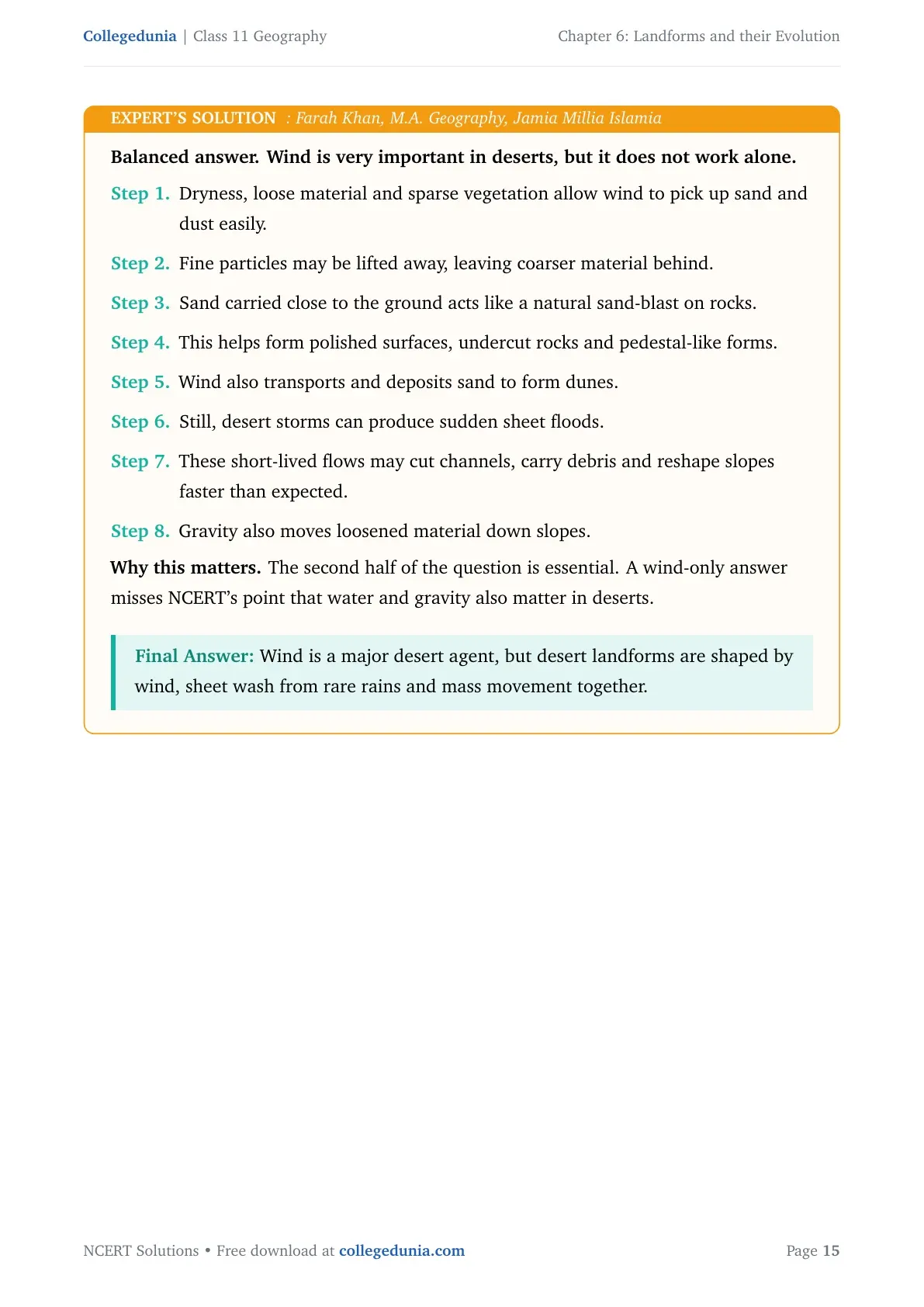
Balanced answer. Wind is very important in deserts, but it does not work alone.
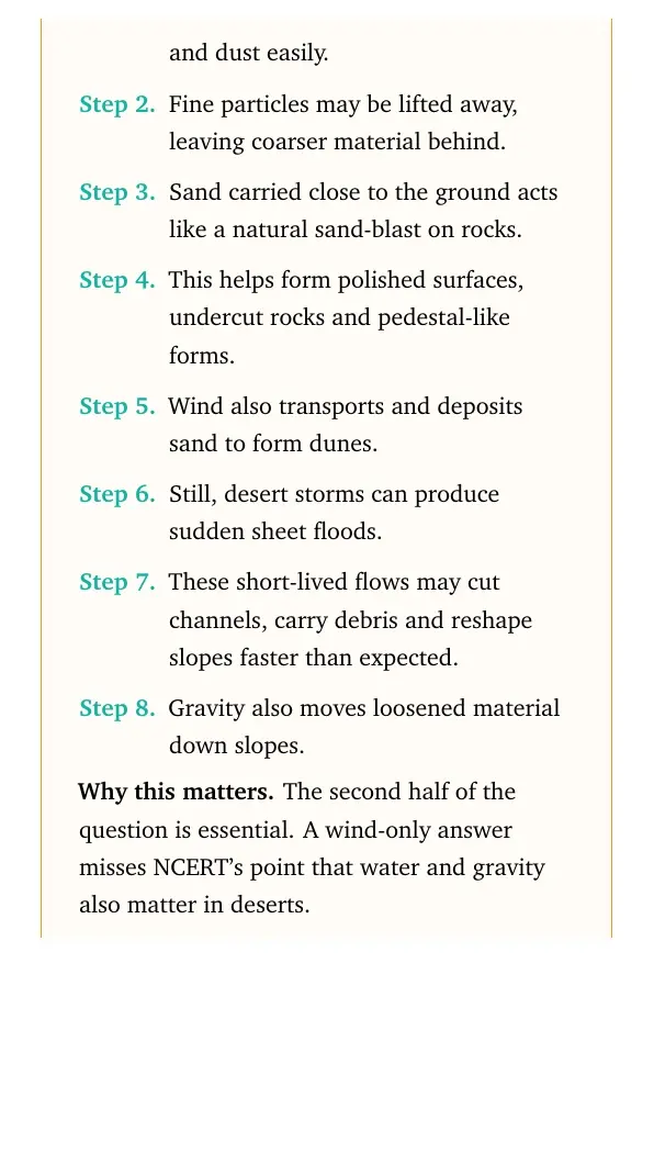
Dryness, loose material and sparse vegetation allow wind to pick up sand and dust easily.
Fine particles may be lifted away, leaving coarser material behind.
Sand carried close to the ground acts like a natural sand-blast on rocks.
This helps form polished surfaces, undercut rocks and pedestal-like forms.
Wind also transports and deposits sand to form dunes.
Still, desert storms can produce sudden sheet floods.
These short-lived flows may cut channels, carry debris and reshape slopes faster than expected.
Gravity also moves loosened material down slopes.
Why this matters. The second half of the question is essential. A wind-only answer misses NCERT's point that water and gravity also matter in deserts.
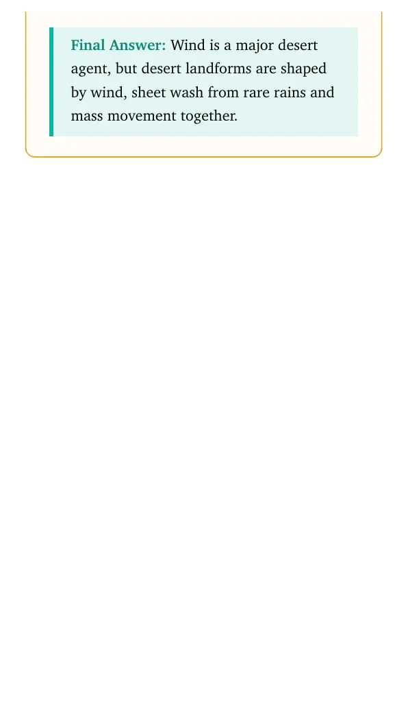
Wind is a major desert agent, but desert landforms are shaped by wind, sheet wash from rare rains and mass movement together.
Q 6.7
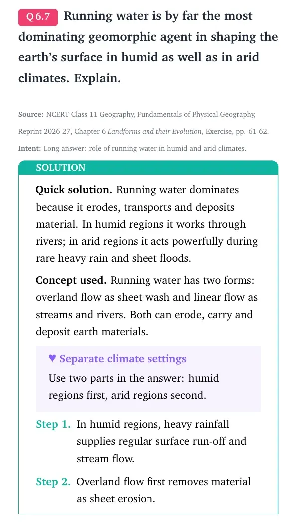
Running water is by far the most dominating geomorphic agent in shaping the earth's surface in humid as well as in arid climates. Explain.
Running water dominates because it erodes, transports and deposits material. In humid regions it works through rivers; in arid regions it acts powerfully during rare heavy rain and sheet floods.
Concept used. Running water has two forms: overland flow as sheet wash and linear flow as streams and rivers. Both can erode, carry and deposit earth materials.
Separate climate settings
Use two parts in the answer: humid regions first, arid regions second.
In humid regions, heavy rainfall supplies regular surface run-off and stream flow.
Overland flow first removes material as sheet erosion.
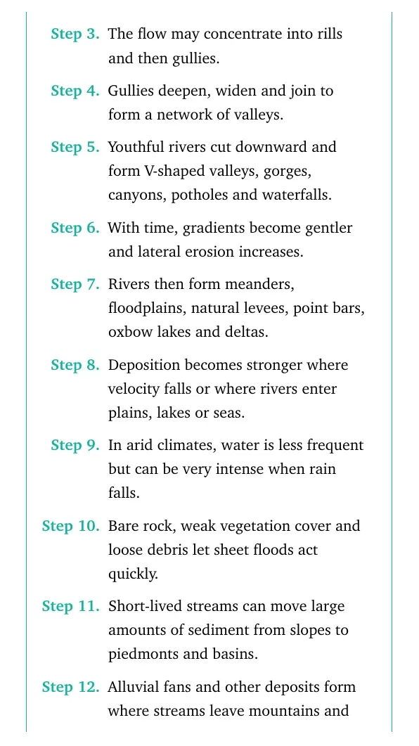
The flow may concentrate into rills and then gullies.
Gullies deepen, widen and join to form a network of valleys.
Youthful rivers cut downward and form V-shaped valleys, gorges, canyons, potholes and waterfalls.
With time, gradients become gentler and lateral erosion increases.
Rivers then form meanders, floodplains, natural levees, point bars, oxbow lakes and deltas.
Deposition becomes stronger where velocity falls or where rivers enter plains, lakes or seas.
In arid climates, water is less frequent but can be very intense when rain falls.
Bare rock, weak vegetation cover and loose debris let sheet floods act quickly.
Short-lived streams can move large amounts of sediment from slopes to piedmonts and basins.
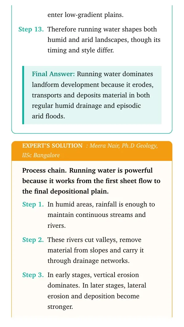
Alluvial fans and other deposits form where streams leave mountains and enter low-gradient plains.
Therefore running water shapes both humid and arid landscapes, though its timing and style differ.
Running water dominates landform development because it erodes, transports and deposits material in both regular humid drainage and episodic arid floods.
MN
Meera Nair
Ph.D Geology, IISc Bangalore
Verified Expert
Process chain. Running water is powerful because it works from the first sheet flow to the final depositional plain.
In humid areas, rainfall is enough to maintain continuous streams and rivers.
These rivers cut valleys, remove material from slopes and carry it through drainage networks.
In early stages, vertical erosion dominates. In later stages, lateral erosion and deposition become stronger.
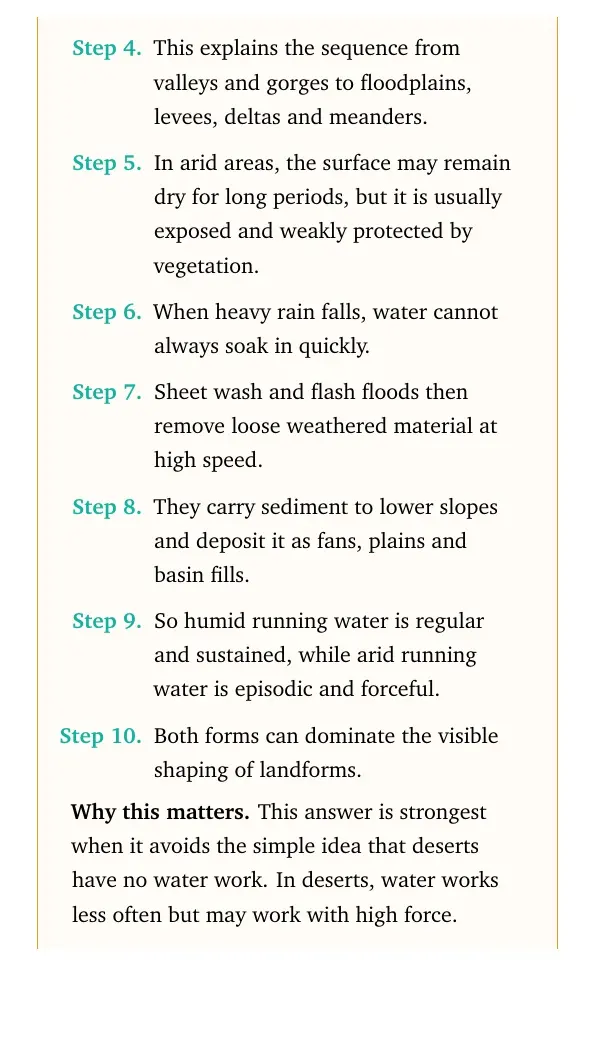
This explains the sequence from valleys and gorges to floodplains, levees, deltas and meanders.
In arid areas, the surface may remain dry for long periods, but it is usually exposed and weakly protected by vegetation.
When heavy rain falls, water cannot always soak in quickly.
Sheet wash and flash floods then remove loose weathered material at high speed.
They carry sediment to lower slopes and deposit it as fans, plains and basin fills.
So humid running water is regular and sustained, while arid running water is episodic and forceful.
Both forms can dominate the visible shaping of landforms.
Why this matters. This answer is strongest when it avoids the simple idea that deserts have no water work. In deserts, water works less often but may work with high force.
Running water is the dominant agent because rivers and sheet flows reshape land by erosion, transport and deposition in both wet and dry climatic settings.
Q 6.8
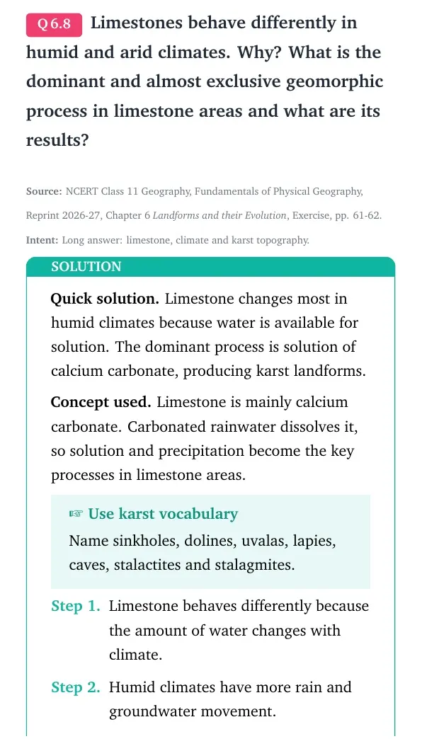
Limestones behave differently in humid and arid climates. Why? What is the dominant and almost exclusive geomorphic process in limestone areas and what are its results?
Limestone changes most in humid climates because water is available for solution. The dominant process is solution of calcium carbonate, producing karst landforms.
Concept used. Limestone is mainly calcium carbonate. Carbonated rainwater dissolves it, so solution and precipitation become the key processes in limestone areas.
Use karst vocabulary
Name sinkholes, dolines, uvalas, lapies, caves, stalactites and stalagmites.
Limestone behaves differently because the amount of water changes with climate.
Humid climates have more rain and groundwater movement.
Rainwater absorbs carbon dioxide and becomes weak carbonic acid.
This water dissolves calcium carbonate in limestone along cracks, joints and bedding planes.
The dominant geomorphic process is solution. Precipitation deposition follows inside caves when dissolved calcium carbonate is redeposited.
In humid limestone areas, solution can create swallow holes, sinkholes, dolines and uvalas.
Continued solution may leave sharp ridges and grooves called lapies.
Where water moves horizontally underground, caves and tunnels may form.
Inside caves, dripping water may deposit calcium carbonate as stalactites from the roof.
Stalagmites rise from the floor below the drip points.
When stalactites and stalagmites join, columns or pillars form.
In arid climates, water is limited, so solution is weaker and karst features are less strongly developed.
Thus limestone landscapes are controlled mainly by solution in water-rich settings.
Limestone responds strongly to humid water-rich conditions because solution dissolves calcium carbonate and creates karst landforms such as sinkholes, caves, lapies, stalactites and stalagmites.
VS
Vikram Sen
Ph.D Physical Geography, Jadavpur University
Verified Expert
Chemistry-plus-climate view. The same rock can produce very different landforms when the water supply changes.
The key property of limestone is solubility in carbonated water.
Humid regions provide frequent water movement through the surface and underground openings.
That water attacks calcium carbonate and enlarges joints, cracks and bedding planes.
As the openings widen, surface drainage may disappear into the ground.
The erosional results are swallow holes, sinkholes, dolines, uvalas, lapies and caves.
Cave streams may later re-emerge through openings at lower levels.
When water in caves loses carbon dioxide or evaporates, calcium carbonate is redeposited.
This produces stalactites, stalagmites, columns and pillars.
Arid limestone does not develop the same intensity of solution because water is scarce.
Therefore climate controls how strongly limestone expresses karst topography.
Why this matters. The answer should not only say limestone is soluble. It should also show the two results of the process: removal outside and deposition inside caves.
The main process is solution of limestone by carbonated water, with precipitation deposition in caves. The result is karst topography.
Q 6.9
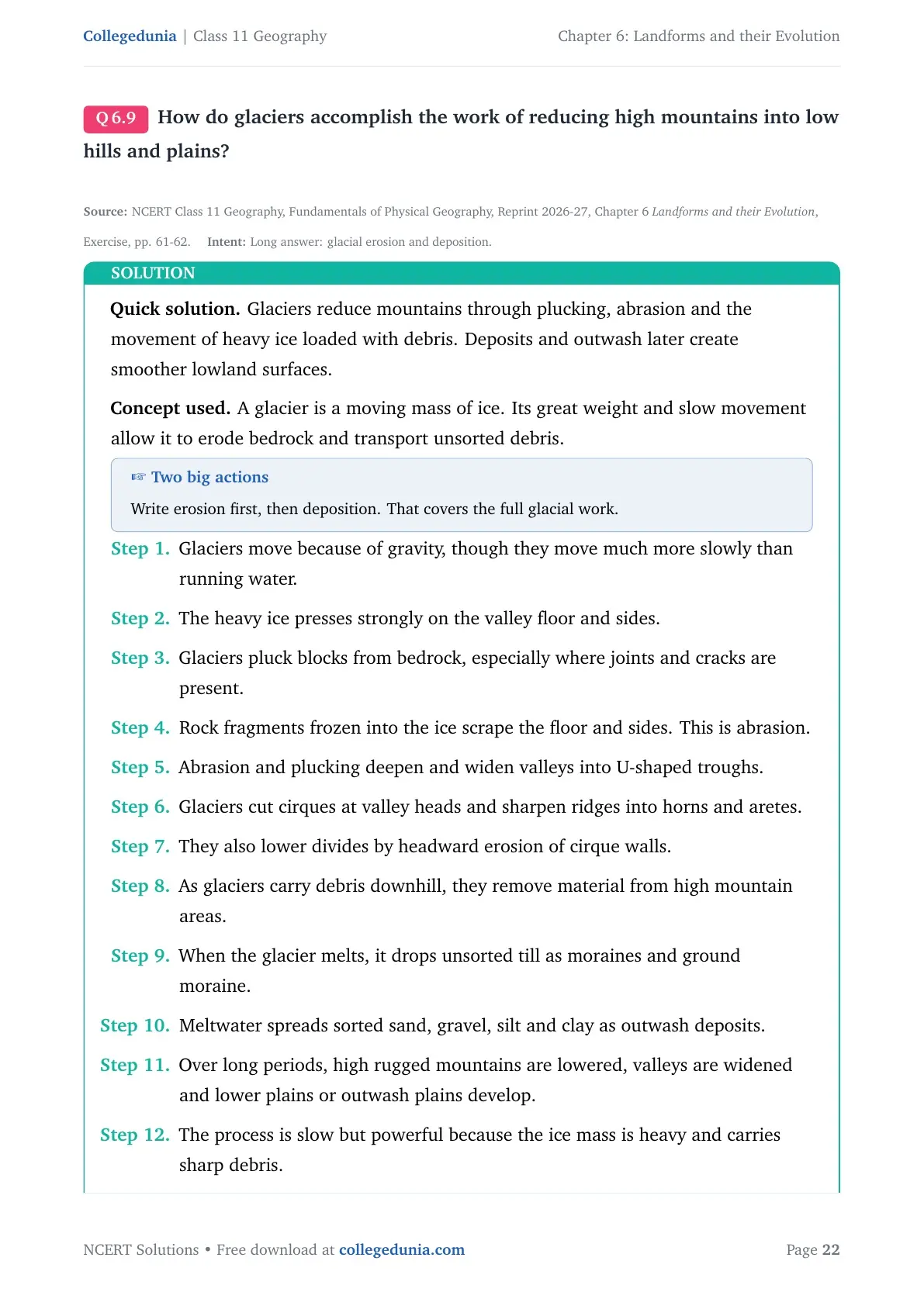
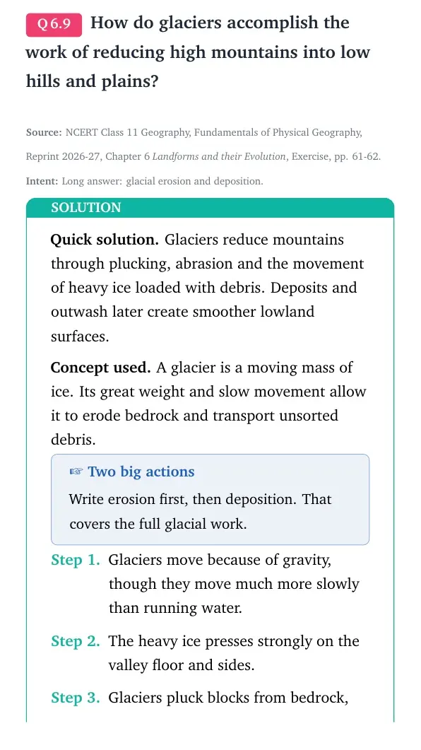
How do glaciers accomplish the work of reducing high mountains into low hills and plains?
Glaciers reduce mountains through plucking, abrasion and the movement of heavy ice loaded with debris. Deposits and outwash later create smoother lowland surfaces.
Concept used. A glacier is a moving mass of ice. Its great weight and slow movement allow it to erode bedrock and transport unsorted debris.
Two big actions
Write erosion first, then deposition. That covers the full glacial work.
Glaciers move because of gravity, though they move much more slowly than running water.
The heavy ice presses strongly on the valley floor and sides.
Glaciers pluck blocks from bedrock, especially where joints and cracks are present.
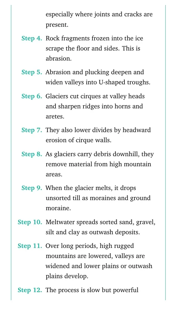
Rock fragments frozen into the ice scrape the floor and sides. This is abrasion.
Abrasion and plucking deepen and widen valleys into U-shaped troughs.
Glaciers cut cirques at valley heads and sharpen ridges into horns and aretes.
They also lower divides by headward erosion of cirque walls.
As glaciers carry debris downhill, they remove material from high mountain areas.
When the glacier melts, it drops unsorted till as moraines and ground moraine.
Meltwater spreads sorted sand, gravel, silt and clay as outwash deposits.
Over long periods, high rugged mountains are lowered, valleys are widened and lower plains or outwash plains develop.
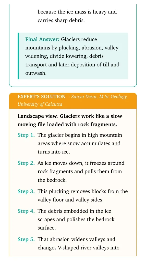
The process is slow but powerful because the ice mass is heavy and carries sharp debris.
Glaciers reduce mountains by plucking, abrasion, valley widening, divide lowering, debris transport and later deposition of till and outwash.
SD
Sanya Desai
M.Sc Geology, University of Calcutta
Verified Expert
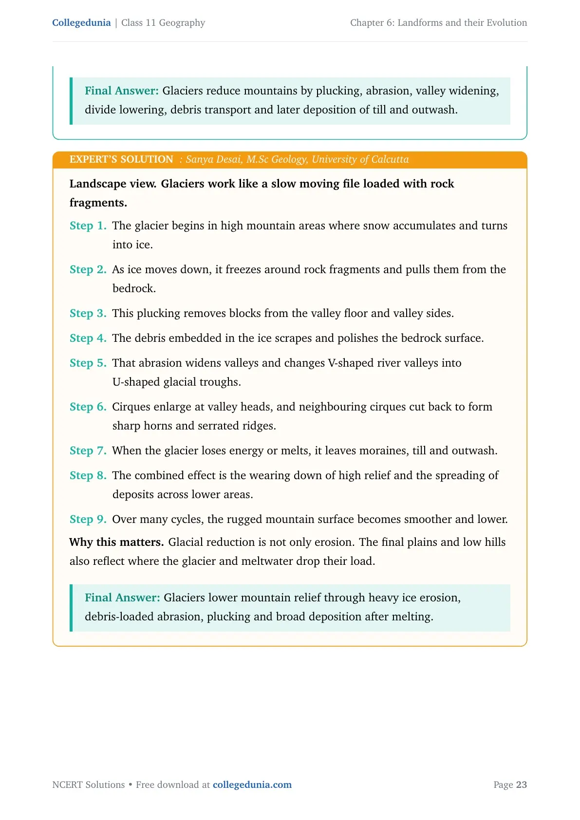
Landscape view. Glaciers work like a slow moving file loaded with rock fragments.
The glacier begins in high mountain areas where snow accumulates and turns into ice.
As ice moves down, it freezes around rock fragments and pulls them from the bedrock.
This plucking removes blocks from the valley floor and valley sides.
The debris embedded in the ice scrapes and polishes the bedrock surface.
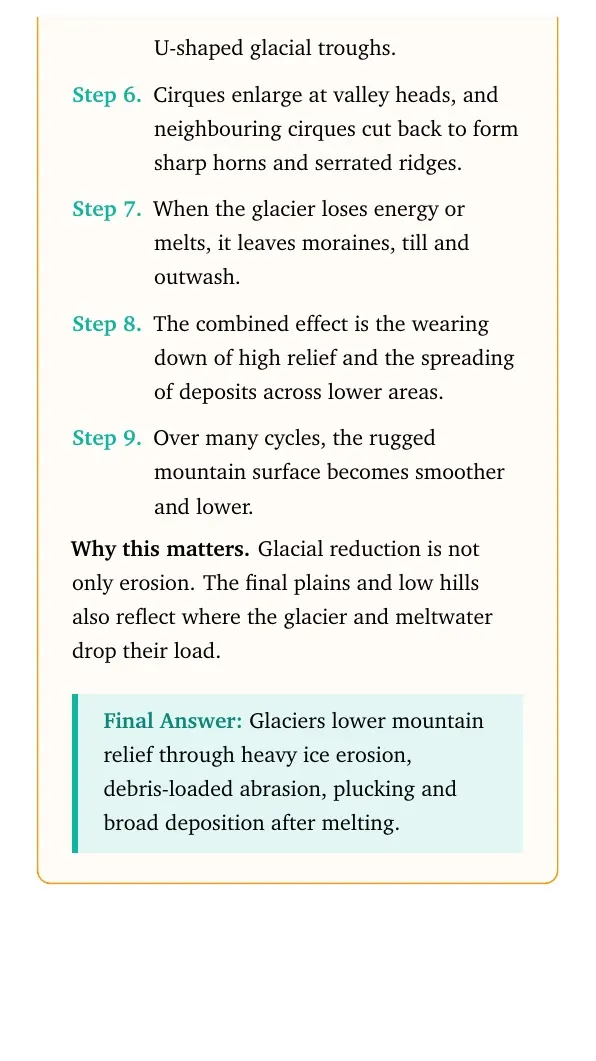
That abrasion widens valleys and changes V-shaped river valleys into U-shaped glacial troughs.
Cirques enlarge at valley heads, and neighbouring cirques cut back to form sharp horns and serrated ridges.
When the glacier loses energy or melts, it leaves moraines, till and outwash.
The combined effect is the wearing down of high relief and the spreading of deposits across lower areas.
Over many cycles, the rugged mountain surface becomes smoother and lower.
Why this matters. Glacial reduction is not only erosion. The final plains and low hills also reflect where the glacier and meltwater drop their load.
Glaciers lower mountain relief through heavy ice erosion, debris-loaded abrasion, plucking and broad deposition after melting.
Q 6.10
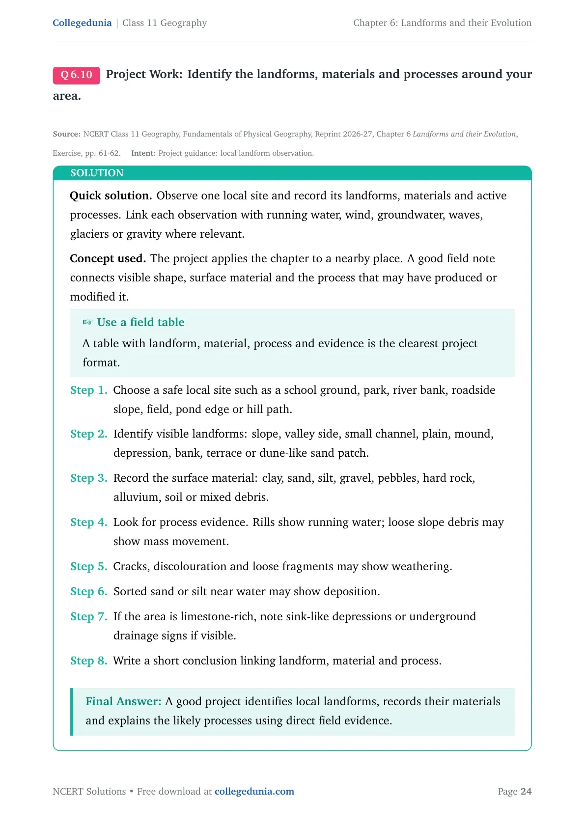
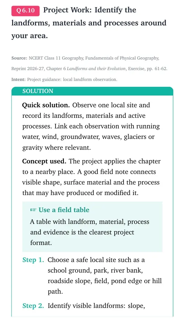
Project Work: Identify the landforms, materials and processes around your area.
Observe one local site and record its landforms, materials and active processes. Link each observation with running water, wind, groundwater, waves, glaciers or gravity where relevant.
Concept used. The project applies the chapter to a nearby place. A good field note connects visible shape, surface material and the process that may have produced or modified it.
Use a field table
A table with landform, material, process and evidence is the clearest project format.
Choose a safe local site such as a school ground, park, river bank, roadside slope, field, pond edge or hill path.
Identify visible landforms: slope, valley side, small channel, plain, mound, depression, bank, terrace or dune-like sand patch.
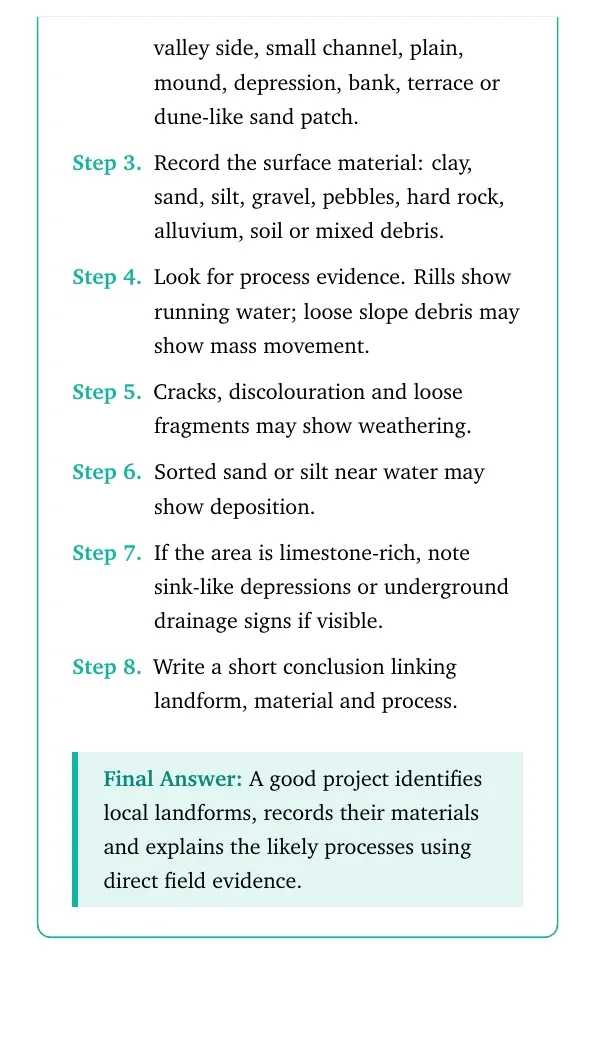
Record the surface material: clay, sand, silt, gravel, pebbles, hard rock, alluvium, soil or mixed debris.
Look for process evidence. Rills show running water; loose slope debris may show mass movement.
Cracks, discolouration and loose fragments may show weathering.
Sorted sand or silt near water may show deposition.
If the area is limestone-rich, note sink-like depressions or underground drainage signs if visible.
Write a short conclusion linking landform, material and process.
A good project identifies local landforms, records their materials and explains the likely processes using direct field evidence.
KS
Kabir Sinha
M.Sc Geography, University of Hyderabad
Verified Expert
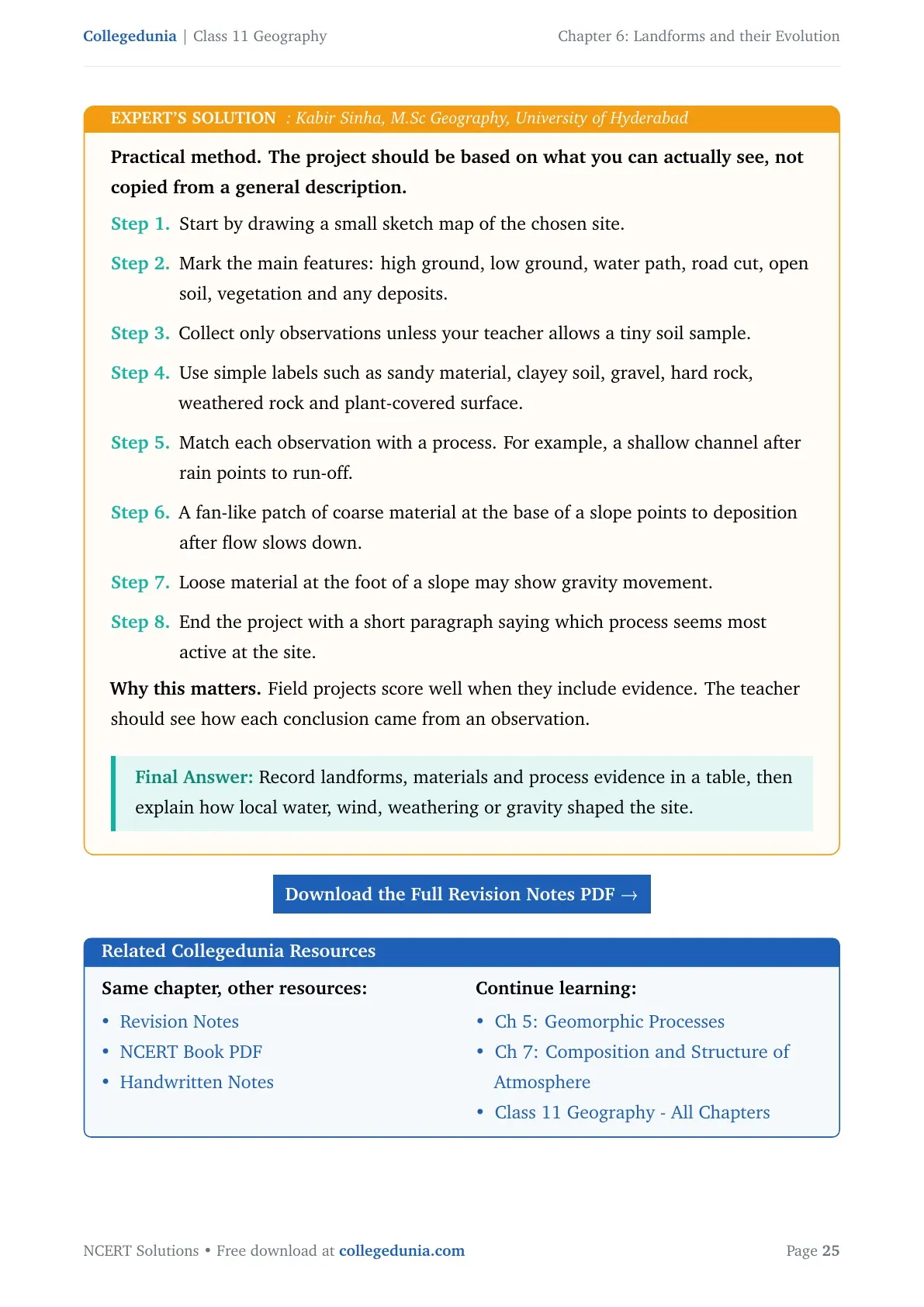
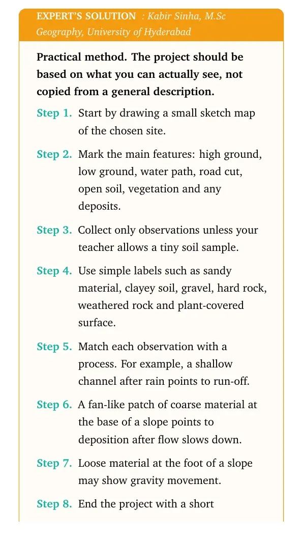
Practical method. The project should be based on what you can actually see, not copied from a general description.
Start by drawing a small sketch map of the chosen site.
Mark the main features: high ground, low ground, water path, road cut, open soil, vegetation and any deposits.
Collect only observations unless your teacher allows a tiny soil sample.
Use simple labels such as sandy material, clayey soil, gravel, hard rock, weathered rock and plant-covered surface.
Match each observation with a process. For example, a shallow channel after rain points to run-off.
A fan-like patch of coarse material at the base of a slope points to deposition after flow slows down.
Loose material at the foot of a slope may show gravity movement.
End the project with a short paragraph saying which process seems most active at the site.
Why this matters. Field projects score well when they include evidence. The teacher should see how each conclusion came from an observation.
Record landforms, materials and process evidence in a table, then explain how local water, wind, weathering or gravity shaped the site.
Landforms and their Evolution Class 11 NCERT Solutions FAQs
Ques. How many questions are solved in Class 11 Geography Chapter 6 Landforms and their Evolution?
Ans. The PDF solves all 10 exercise and project questions from the 2026-27 NCERT Class 11 Geography Chapter 6 Landforms and their Evolution textbook.
Ques. What is the main idea of Landforms and their Evolution?
Ans. The chapter explains how geomorphic agents such as running water, groundwater, glaciers, wind and waves create different erosional and depositional landforms.
Ques. What are lapies and uvalas in this chapter?
Ans. Lapies are sharp limestone grooves and ridges formed by solution. Uvalas are larger irregular depressions formed when many sinkholes join together.
Ques. Are these Landforms and their Evolution solutions useful for the 2026-27 school exam?
Ans. Yes. The answers follow the latest 2026-27 NCERT exercise and explain each landform with the agent, process and example needed for Class 11 exams.















Comments