The NCERT Solutions for Class 11 Geography Chapter 13 Movements of Ocean Water cover all exercise questions from the latest 2026-27 NCERT book. The chapter explains waves, tides, spring tides, neap tides and ocean currents in a way that helps students write short and long answers clearly.
Covers every exercise prompt with a direct solution and an expert explanation.
Focuses on high scoring ideas: waves, tides, currents, perigee, perihelion and Coriolis force.
Useful for school exams because each answer follows the NCERT sequence and wording.
Student Feedback: In a Collegedunia poll of 10,940 Class 11 Geography students preparing for the 2026 school exams, 72% said they could define tides but confused spring tides with neap tides.
Source: 2026-27 Class 11 Geography student poll across CBSE schools.
Every answer in this solution set is checked against the 2026-27 NCERT Geography textbook and written so students can revise the definition, cause and example together.
Movements of Ocean Water Quick Revision for Class 11 Geography
Movements of Ocean Water studies the dynamic nature of ocean water. NCERT groups the chapter around three visible movements: waves, tides and currents. Waves show energy movement, tides show vertical sea-level change, and currents show the regular flow of large water masses.
Movement
Main idea
Exam link
Waves
Energy travels across the ocean surface, mostly due to wind
Short answer on wave energy
Tides
Periodic rise and fall of sea level
MCQ and navigation answer
Ocean currents
Regular flow of ocean water in a definite direction
Long answer on causes and temperature effects
Spring and neap tides
Tide height changes with sun, moon and earth positions
MCQ and concept explanation
The safest way to revise this chapter is to write cause plus effect for every term. For example, wind causes most waves, lunar and solar attraction cause tides, and warm currents raise nearby coastal temperature.
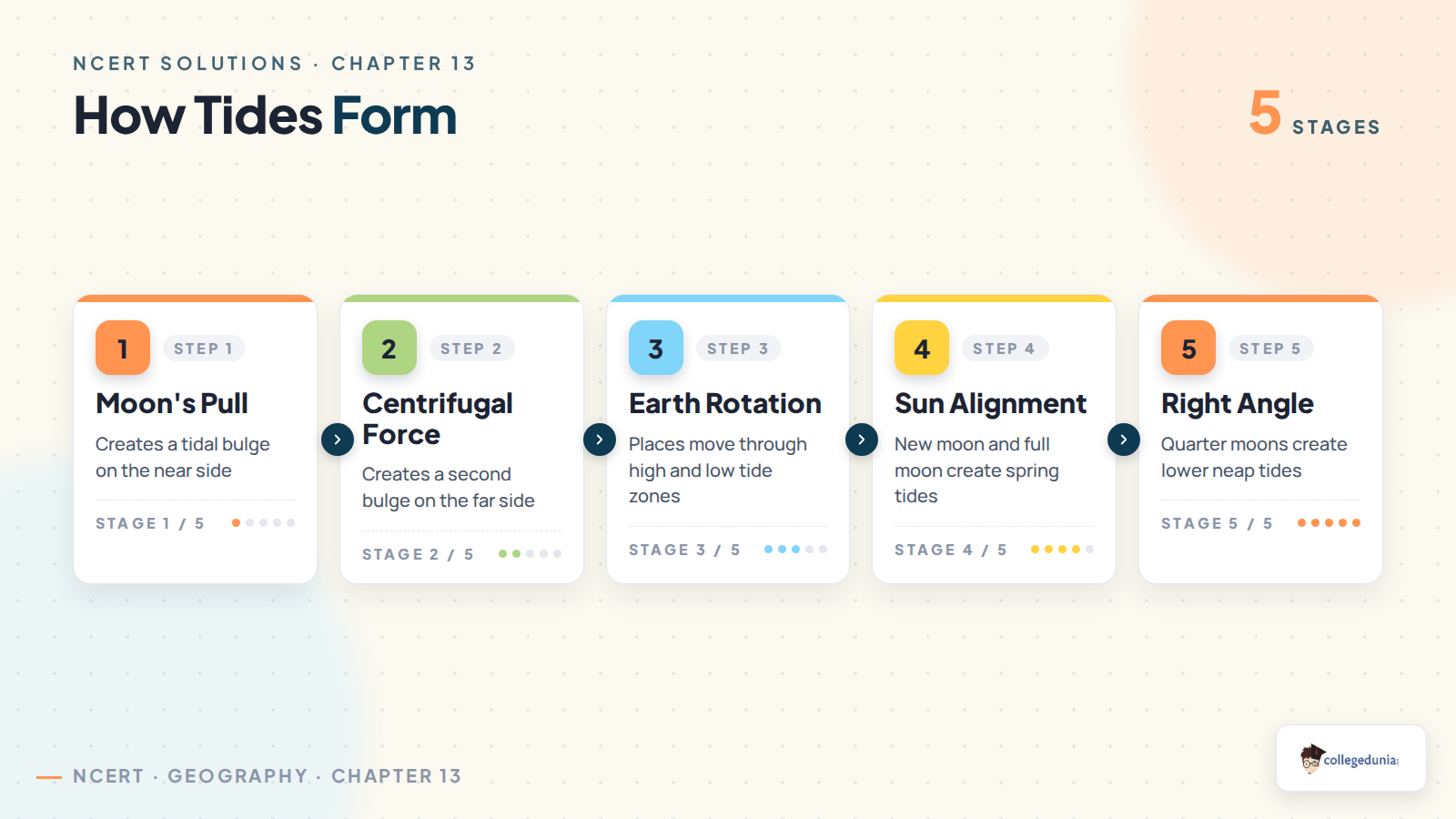
Tides are caused mainly by the gravitational pull of the moon, with help from the sun and centrifugal force. The side of the earth facing the moon develops a tidal bulge. A second bulge forms on the opposite side because of centrifugal force.
Spring tides: sun, moon and earth are in a straight line, so tide height is greater.
Neap tides: sun and moon are at right angles, so their pulls partly counteract each other.
Navigation: predicted high tides help ships enter shallow harbours and estuaries safely.
Warm and Cold Currents in Movements of Ocean Water
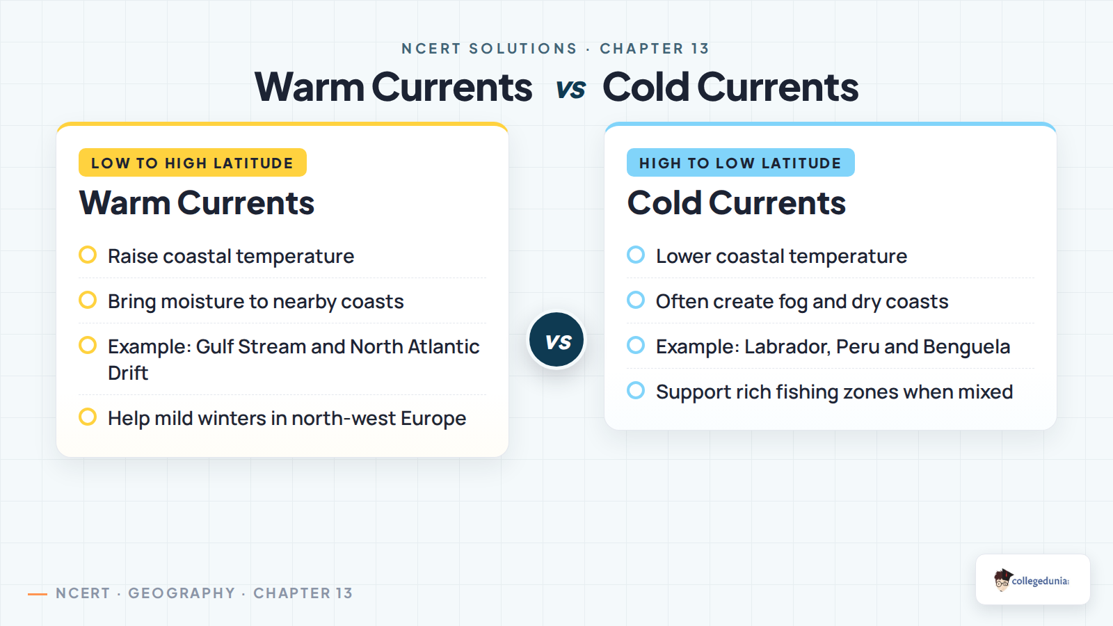
Ocean currents redistribute heat. Warm currents usually move from lower latitudes towards higher latitudes. Cold currents often carry colder water towards lower latitudes or along western continental margins. North-west Europe is warmer than expected because the Gulf Stream system and North Atlantic Drift carry warm water towards that coast.
Solar heating creates slight sea-level differences and starts pressure-like gradients in ocean water.
Prevailing winds push surface water and shape broad surface currents.
Gravity pulls piled-up water down the gradient.
Coriolis force turns currents right in the northern hemisphere and left in the southern hemisphere.
Temperature and salinity differences change density, which drives vertical movement.
Related Geography Resources for Movements of Ocean Water
Use the solutions PDF for exercise answers. Pair it with the book PDF and notes when you want to revise the theory before writing the answers.
All NCERT Solutions for Class 11 Geography Chapter 13 Movements of Ocean Water with Step-by-Step Solutions
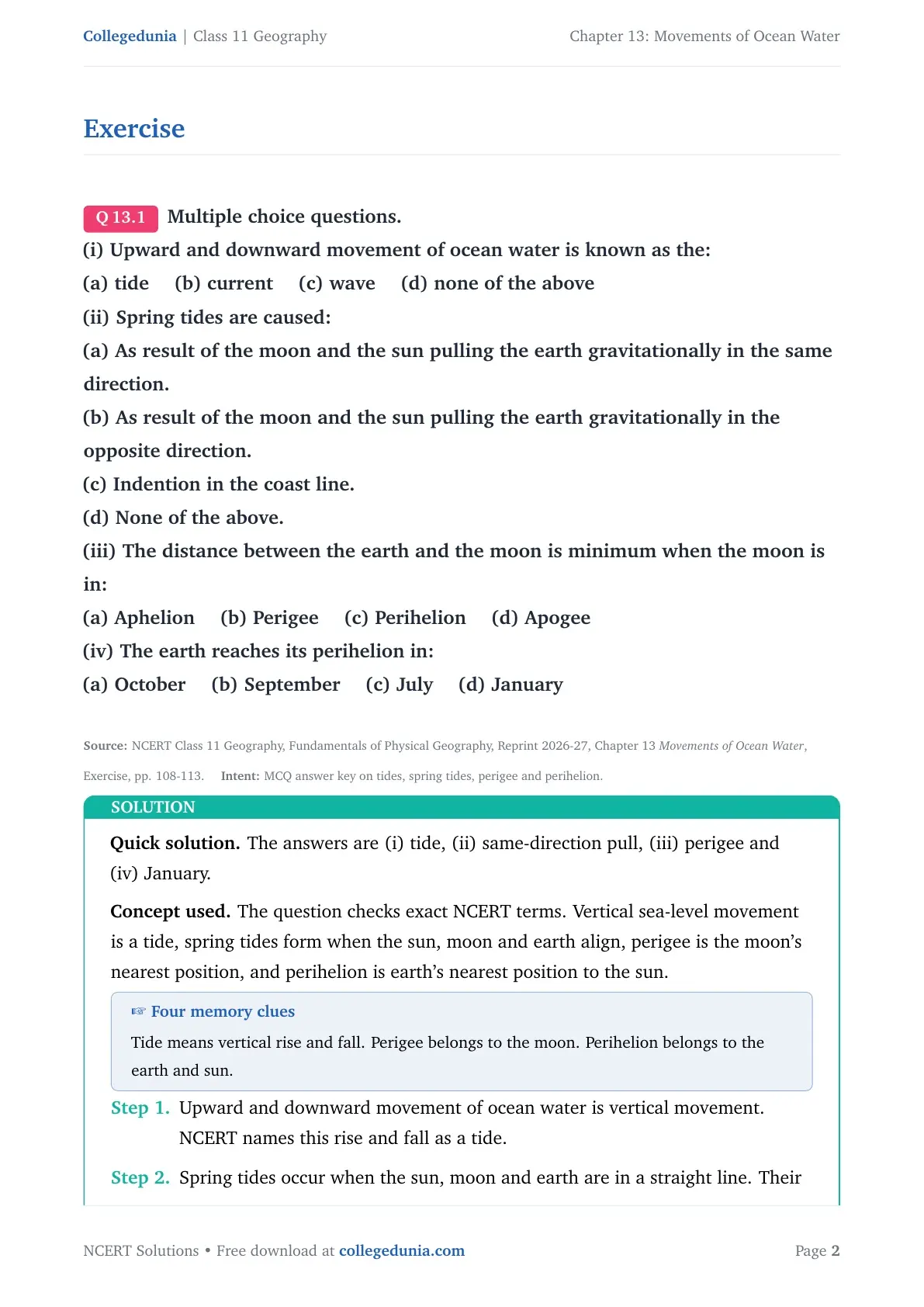
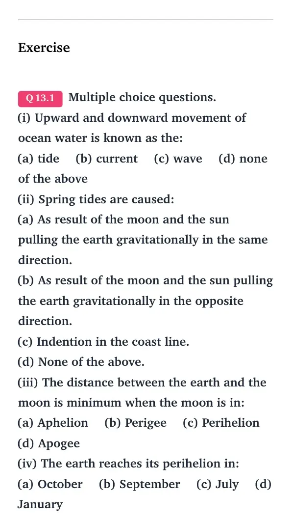
Q 13.1
Multiple choice questions.
(i) Upward and downward movement of ocean water is known as the:
(a) tide (b) current (c) wave (d) none of the above
(ii) Spring tides are caused:
(a) As result of the moon and the sun pulling the earth gravitationally in the same direction.
(b) As result of the moon and the sun pulling the earth gravitationally in the opposite direction.
(c) Indention in the coast line.
(d) None of the above.
(iii) The distance between the earth and the moon is minimum when the moon is in:
(a) Aphelion (b) Perigee (c) Perihelion (d) Apogee
(iv) The earth reaches its perihelion in:
(a) October (b) September (c) July (d) January
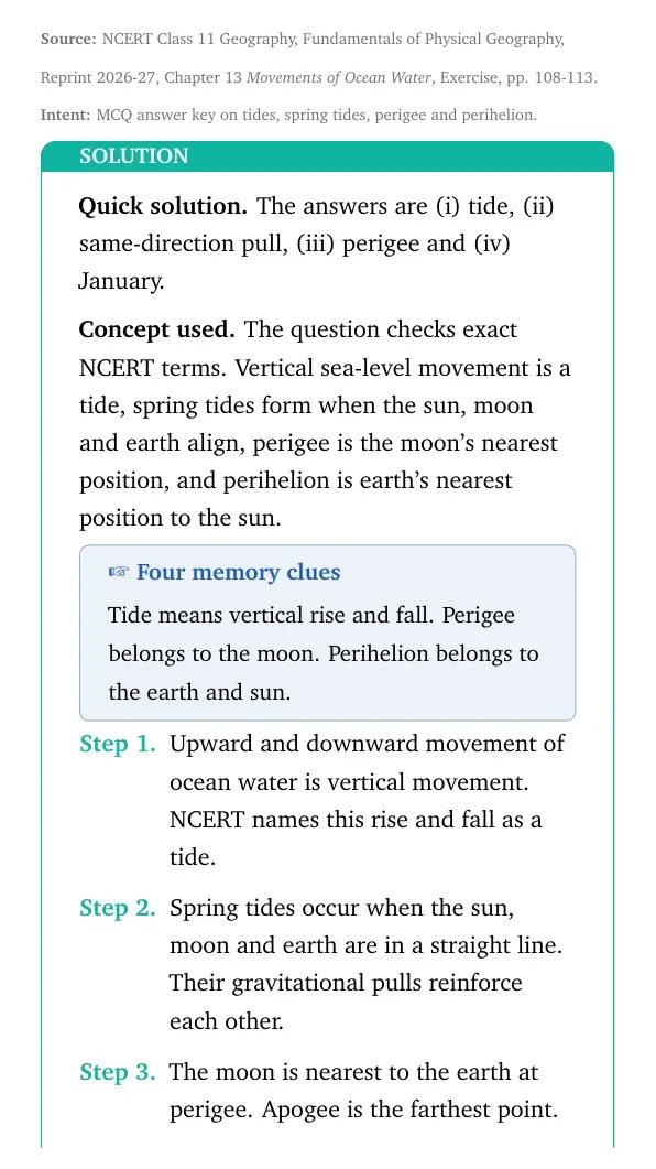
The answers are (i) tide, (ii) same-direction pull, (iii) perigee and (iv) January.
Concept used. The question checks exact NCERT terms. Vertical sea-level movement is a tide, spring tides form when the sun, moon and earth align, perigee is the moon's nearest position, and perihelion is earth's nearest position to the sun.
Four memory clues
Tide means vertical rise and fall. Perigee belongs to the moon. Perihelion belongs to the earth and sun.
Upward and downward movement of ocean water is vertical movement. NCERT names this rise and fall as a tide.
Spring tides occur when the sun, moon and earth are in a straight line. Their gravitational pulls reinforce each other.
The moon is nearest to the earth at perigee. Apogee is the farthest point.
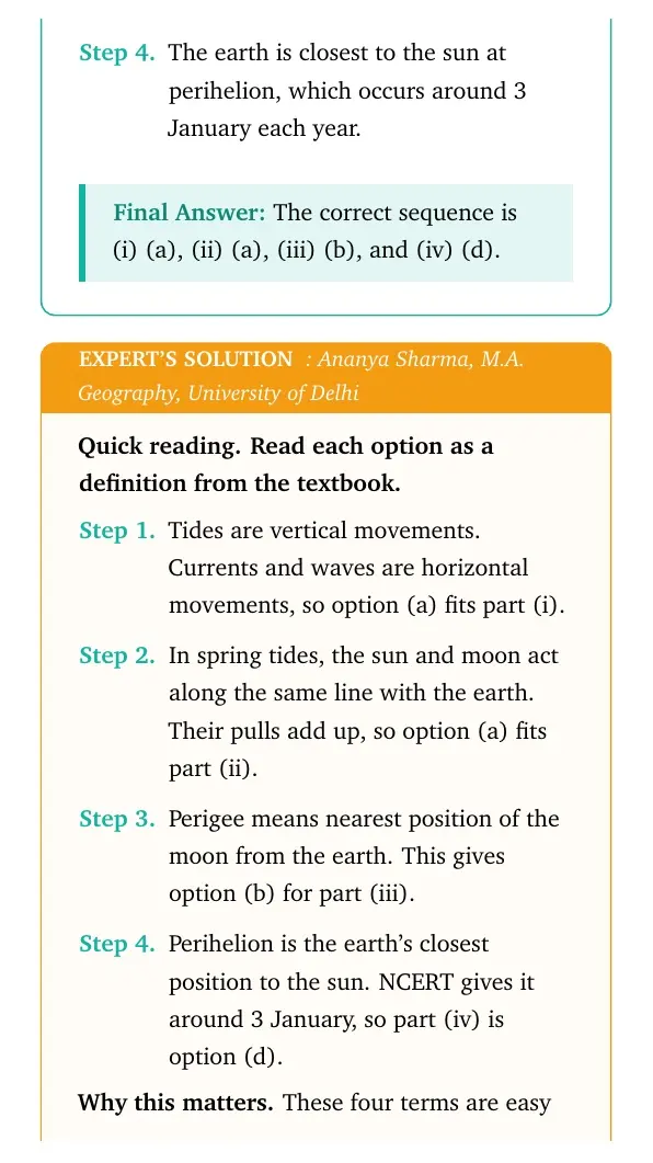
The earth is closest to the sun at perihelion, which occurs around 3 January each year.
The correct sequence is (i) (a), (ii) (a), (iii) (b), and (iv) (d).
AS
Ananya Sharma
M.A. Geography, University of Delhi
Verified Expert
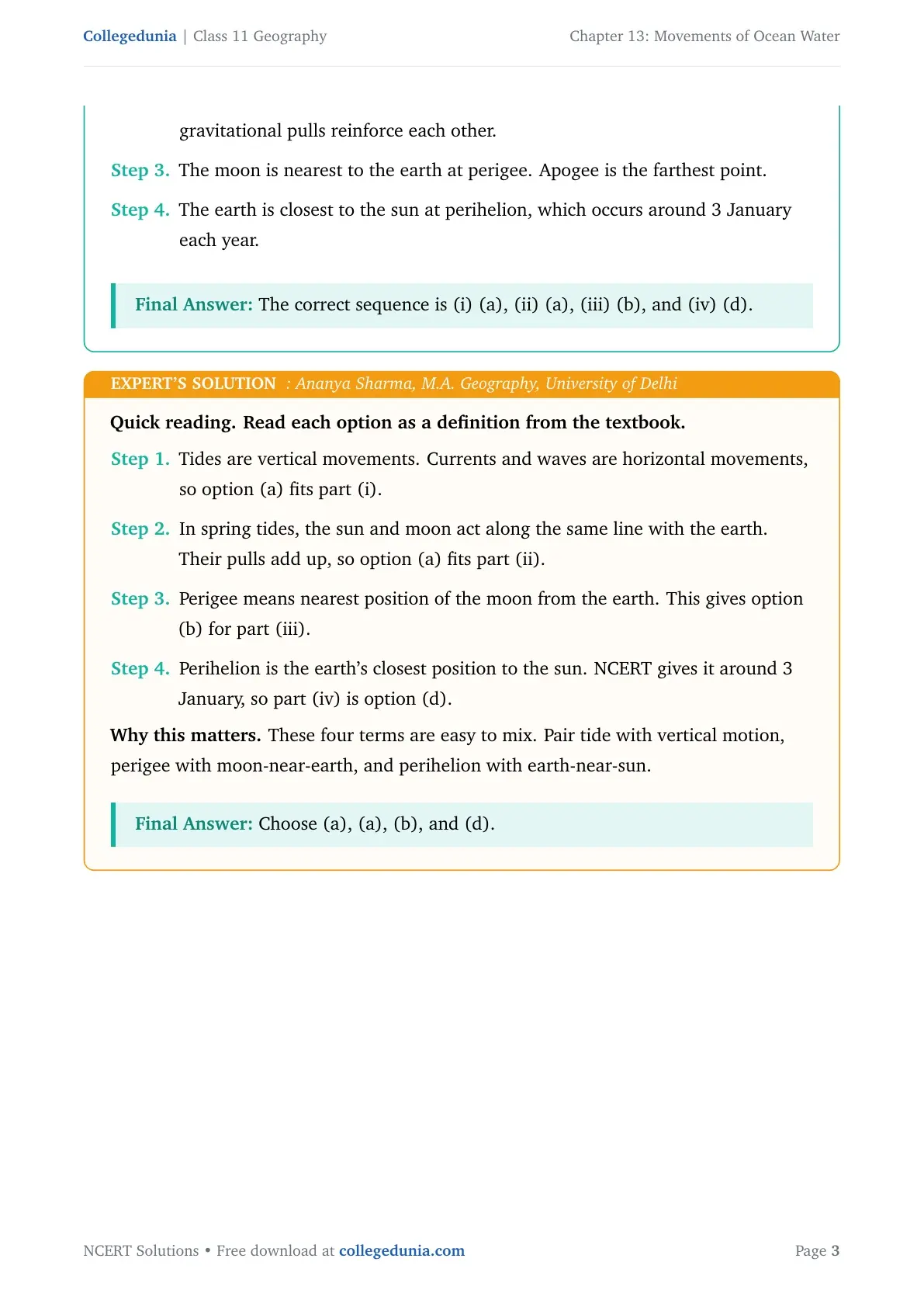
Quick reading. Read each option as a definition from the textbook.
Tides are vertical movements. Currents and waves are horizontal movements, so option (a) fits part (i).
In spring tides, the sun and moon act along the same line with the earth. Their pulls add up, so option (a) fits part (ii).
Perigee means nearest position of the moon from the earth. This gives option (b) for part (iii).
Perihelion is the earth's closest position to the sun. NCERT gives it around 3 January, so part (iv) is option (d).
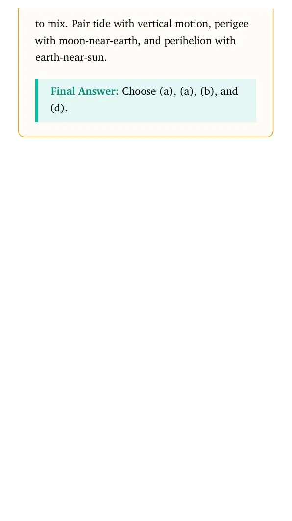
Why this matters. These four terms are easy to mix. Pair tide with vertical motion, perigee with moon-near-earth, and perihelion with earth-near-sun.
Choose (a), (a), (b), and (d).
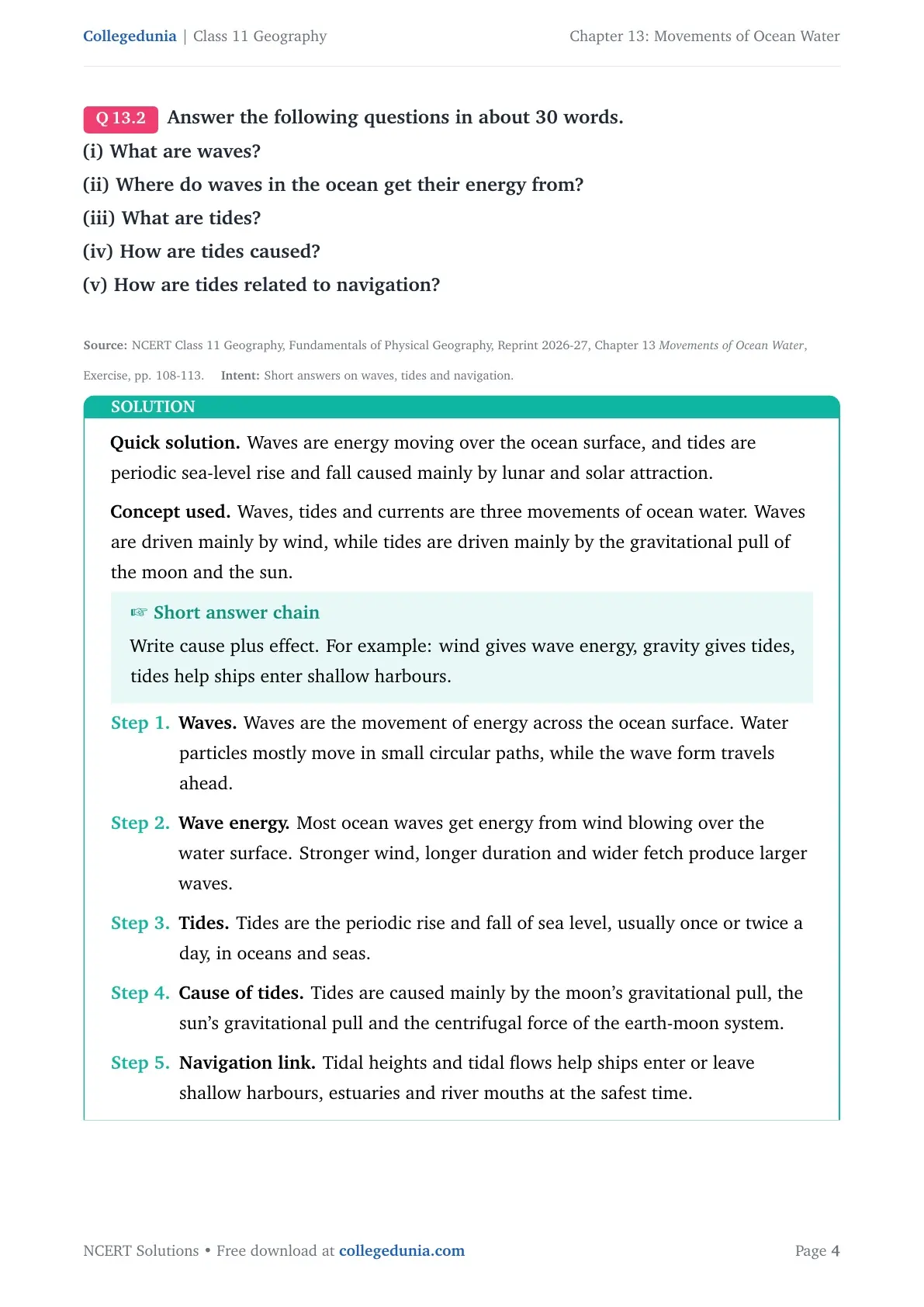
Q 13.2
Answer the following questions in about 30 words.
(i) What are waves?
(ii) Where do waves in the ocean get their energy from?
(iii) What are tides?
(iv) How are tides caused?
(v) How are tides related to navigation?
Waves are energy moving over the ocean surface, and tides are periodic sea-level rise and fall caused mainly by lunar and solar attraction.
Concept used. Waves, tides and currents are three movements of ocean water. Waves are driven mainly by wind, while tides are driven mainly by the gravitational pull of the moon and the sun.
Short answer chain
Write cause plus effect. For example: wind gives wave energy, gravity gives tides, tides help ships enter shallow harbours.
Waves. Waves are the movement of energy across the ocean surface. Water particles mostly move in small circular paths, while the wave form travels ahead.
Wave energy. Most ocean waves get energy from wind blowing over the water surface. Stronger wind, longer duration and wider fetch produce larger waves.
Tides. Tides are the periodic rise and fall of sea level, usually once or twice a day, in oceans and seas.
Cause of tides. Tides are caused mainly by the moon's gravitational pull, the sun's gravitational pull and the centrifugal force of the earth-moon system.
Navigation link. Tidal heights and tidal flows help ships enter or leave shallow harbours, estuaries and river mouths at the safest time.
Waves are wind-driven energy movements on the ocean surface. Tides are periodic sea-level changes caused by lunar and solar attraction, and they help navigation in shallow harbours.
RV
Rohit Verma
M.Sc Physical Geography, Banaras Hindu University
Verified Expert
Definition method. Give one direct definition and one use or cause for each part.
For waves, start with the key idea: energy moves forward, not the same mass of water.
Then add the source: wind transfers energy to the surface by friction.
A stronger and longer wind gives the wave more energy, so the crest height usually grows.
For tides, start with the visible result: sea level rises and falls at regular intervals.
Then add the cause: the moon is the stronger tide-generating body, with help from the sun and centrifugal force.
Use the word periodic because tides are predictable. They follow the known positions of the earth, moon and sun.
For navigation, connect tide prediction to harbour depth. High tide can give ships enough water over shallow bars.
Low tide can expose bars, mudflats and shallow channels. Navigators use tide tables to avoid such danger zones.
Why this matters. A 30-word answer should not become a long paragraph. Name the term, name the cause, then add one effect. This keeps each sub-answer close to the NCERT wording and easy to write in the exam.
Wind supplies wave energy; lunar and solar gravity create tides; predicted tides guide ships through shallow coastal waters.
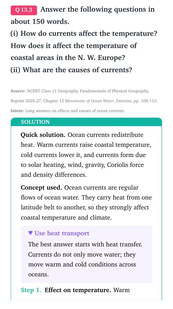
Q 13.3
Answer the following questions in about 150 words.
(i) How do currents affect the temperature? How does it affect the temperature of coastal areas in the N. W. Europe?
(ii) What are the causes of currents?
Ocean currents redistribute heat. Warm currents raise coastal temperature, cold currents lower it, and currents form due to solar heating, wind, gravity, Coriolis force and density differences.
Concept used. Ocean currents are regular flows of ocean water. They carry heat from one latitude belt to another, so they strongly affect coastal temperature and climate.
Use heat transport
The best answer starts with heat transfer. Currents do not only move water; they move warm and cold conditions across oceans.
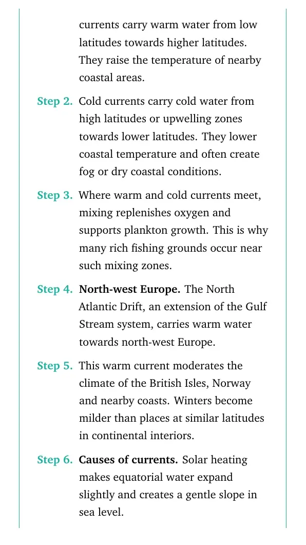
Effect on temperature. Warm currents carry warm water from low latitudes towards higher latitudes. They raise the temperature of nearby coastal areas.
Cold currents carry cold water from high latitudes or upwelling zones towards lower latitudes. They lower coastal temperature and often create fog or dry coastal conditions.
Where warm and cold currents meet, mixing replenishes oxygen and supports plankton growth. This is why many rich fishing grounds occur near such mixing zones.
North-west Europe. The North Atlantic Drift, an extension of the Gulf Stream system, carries warm water towards north-west Europe.
This warm current moderates the climate of the British Isles, Norway and nearby coasts. Winters become milder than places at similar latitudes in continental interiors.
Causes of currents. Solar heating makes equatorial water expand slightly and creates a gentle slope in sea level.
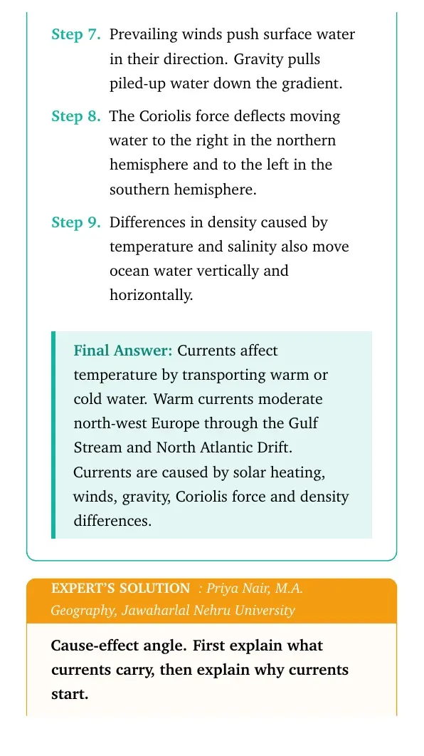
Prevailing winds push surface water in their direction. Gravity pulls piled-up water down the gradient.
The Coriolis force deflects moving water to the right in the northern hemisphere and to the left in the southern hemisphere.
Differences in density caused by temperature and salinity also move ocean water vertically and horizontally.
Currents affect temperature by transporting warm or cold water. Warm currents moderate north-west Europe through the Gulf Stream and North Atlantic Drift. Currents are caused by solar heating, winds, gravity, Coriolis force and density differences.
PN
Priya Nair
M.A. Geography, Jawaharlal Nehru University
Verified Expert
Cause-effect angle. First explain what currents carry, then explain why currents start.
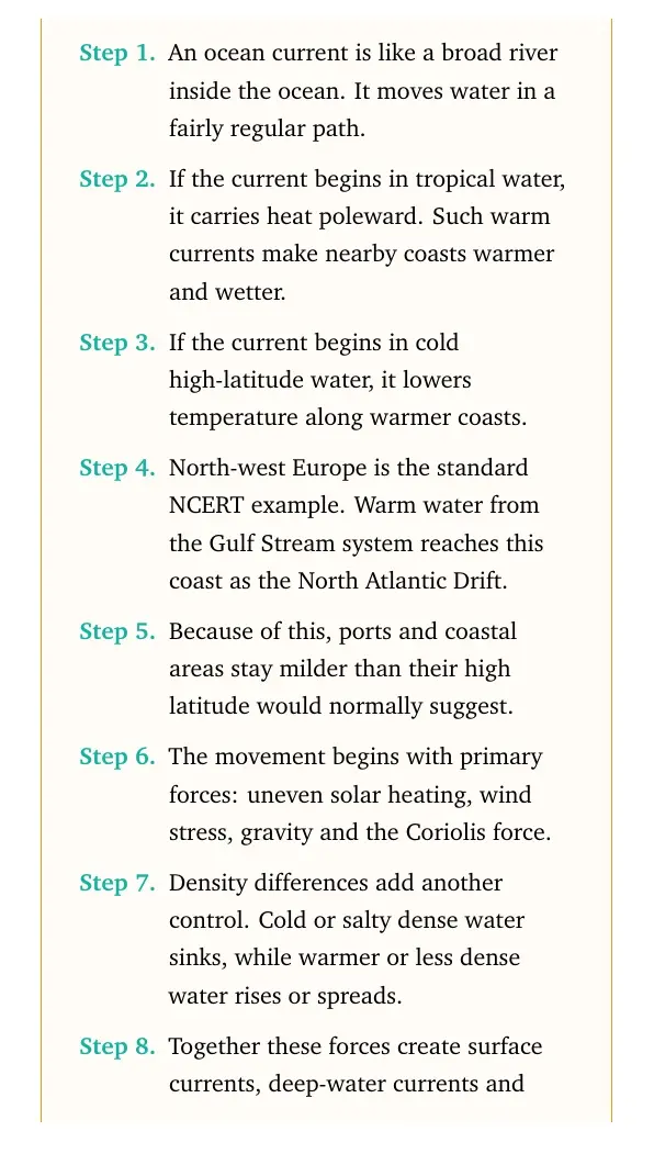
An ocean current is like a broad river inside the ocean. It moves water in a fairly regular path.
If the current begins in tropical water, it carries heat poleward. Such warm currents make nearby coasts warmer and wetter.
If the current begins in cold high-latitude water, it lowers temperature along warmer coasts.
North-west Europe is the standard NCERT example. Warm water from the Gulf Stream system reaches this coast as the North Atlantic Drift.
Because of this, ports and coastal areas stay milder than their high latitude would normally suggest.
The movement begins with primary forces: uneven solar heating, wind stress, gravity and the Coriolis force.
Density differences add another control. Cold or salty dense water sinks, while warmer or less dense water rises or spreads.
Together these forces create surface currents, deep-water currents and large circular gyres in ocean basins.
Why this matters. This answer links a named regional example with the general force list. That is the safest way to score a long-answer Geography question.
Warm and cold currents change coastal temperatures, while heating, winds, gravity, Coriolis deflection and density differences produce the currents.
Q 13.4
Project Work.
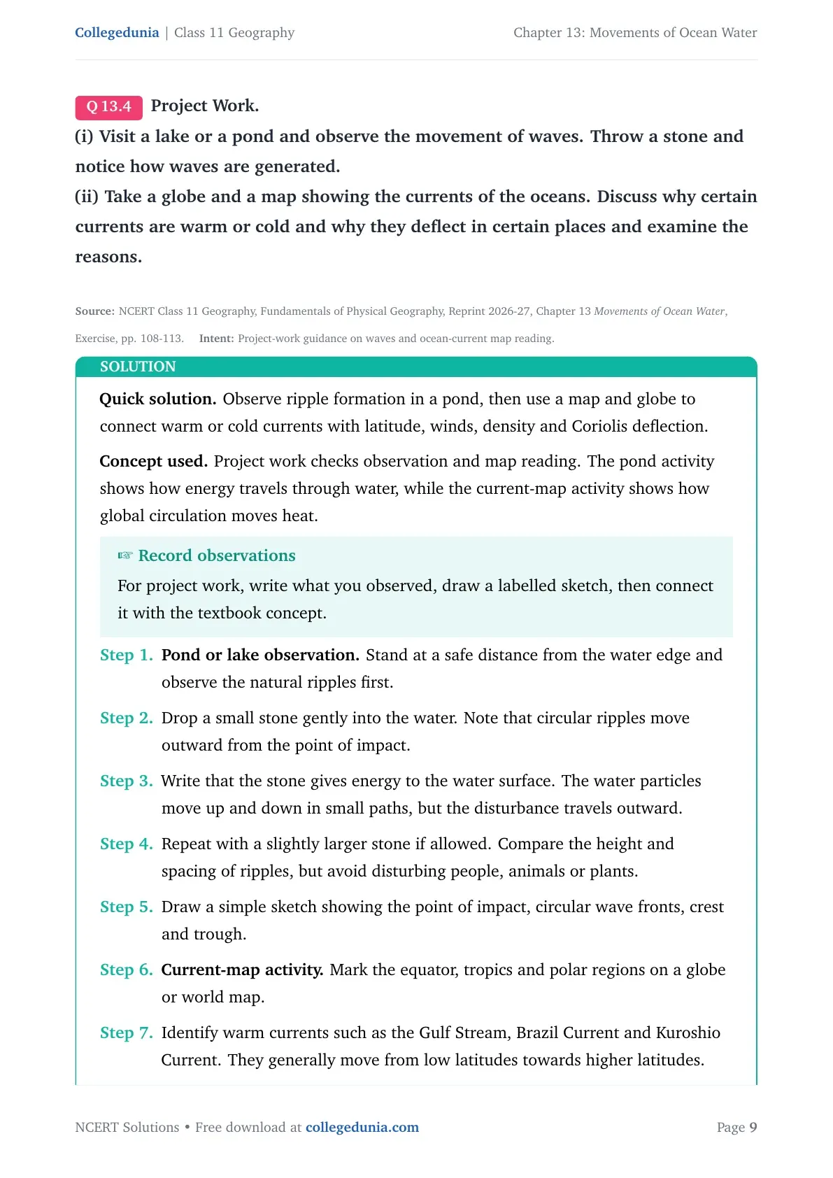
(i) Visit a lake or a pond and observe the movement of waves. Throw a stone and notice how waves are generated.
(ii) Take a globe and a map showing the currents of the oceans. Discuss why certain currents are warm or cold and why they deflect in certain places and examine the reasons.
Observe ripple formation in a pond, then use a map and globe to connect warm or cold currents with latitude, winds, density and Coriolis deflection.
Concept used. Project work checks observation and map reading. The pond activity shows how energy travels through water, while the current-map activity shows how global circulation moves heat.
Record observations
For project work, write what you observed, draw a labelled sketch, then connect it with the textbook concept.
Pond or lake observation. Stand at a safe distance from the water edge and observe the natural ripples first.
Drop a small stone gently into the water. Note that circular ripples move outward from the point of impact.
Write that the stone gives energy to the water surface. The water particles move up and down in small paths, but the disturbance travels outward.
Repeat with a slightly larger stone if allowed. Compare the height and spacing of ripples, but avoid disturbing people, animals or plants.
Draw a simple sketch showing the point of impact, circular wave fronts, crest and trough.
Current-map activity. Mark the equator, tropics and polar regions on a globe or world map.
Identify warm currents such as the Gulf Stream, Brazil Current and Kuroshio Current. They generally move from low latitudes towards higher latitudes.
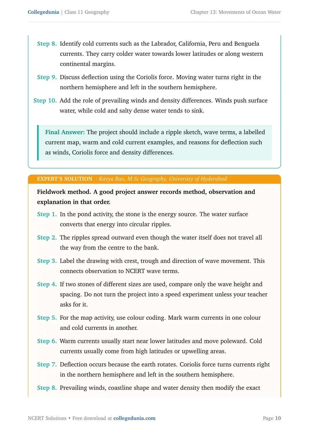
Identify cold currents such as the Labrador, California, Peru and Benguela currents. They carry colder water towards lower latitudes or along western continental margins.
Discuss deflection using the Coriolis force. Moving water turns right in the northern hemisphere and left in the southern hemisphere.
Add the role of prevailing winds and density differences. Winds push surface water, while cold and salty dense water tends to sink.
The project should include a ripple sketch, wave terms, a labelled current map, warm and cold current examples, and reasons for deflection such as winds, Coriolis force and density differences.
KR
Kavya Rao
M.Sc Geography, University of Hyderabad
Verified Expert
Fieldwork method. A good project answer records method, observation and explanation in that order.
In the pond activity, the stone is the energy source. The water surface converts that energy into circular ripples.
The ripples spread outward even though the water itself does not travel all the way from the centre to the bank.
Label the drawing with crest, trough and direction of wave movement. This connects observation to NCERT wave terms.
If two stones of different sizes are used, compare only the wave height and spacing. Do not turn the project into a speed experiment unless your teacher asks for it.
For the map activity, use colour coding. Mark warm currents in one colour and cold currents in another.
Warm currents usually start near lower latitudes and move poleward. Cold currents usually come from high latitudes or upwelling areas.
Deflection occurs because the earth rotates. Coriolis force turns currents right in the northern hemisphere and left in the southern hemisphere.
Prevailing winds, coastline shape and water density then modify the exact route of each current.
A strong discussion should name at least two warm currents and two cold currents. It should also mention which coastline each one affects.
End the project with a short conclusion: waves show local energy transfer, while currents show planetary heat transfer.
Why this matters. The project is not only a drawing task. It asks students to connect visible movement, map symbols and physical causes. That is why the best submission has observation notes, a map legend and a short explanation.
Show the wave observation with a sketch, then explain current temperature and deflection using latitude, winds, Coriolis force and density.
Movements of Ocean Water Class 11 NCERT Solutions FAQs
Ques. How many exercise question blocks are solved in Class 11 Geography Chapter 13 Movements of Ocean Water?
Ans. The chapter has 4 NCERT exercise question blocks. This page and the downloadable PDF solve every MCQ, short-answer, long-answer and project-work prompt.
Ques. What are the main movements of ocean water in Chapter 13?
Ans. The main movements are waves, tides and ocean currents. Waves are energy movements, tides are vertical sea-level changes, and currents are regular water flows.
Ques. What causes spring tides in Movements of Ocean Water?
Ans. Spring tides occur when the sun, moon and earth are in a straight line. Their combined gravitational effect produces higher high tides and lower low tides.
Ques. Why are ocean currents important for coastal temperature?
Ans. Ocean currents carry warm or cold water from one latitude belt to another. Warm currents raise coastal temperature, while cold currents lower it.
Ques. How do these solutions help students revise the chapter?
Ans. Each answer gives the direct NCERT point first, then adds a simple expert explanation. This helps students revise definitions, causes, examples and map-based reasoning together.







Comments