




The Class 12 Geography Chapter 7 Transport and Communication textbook PDF is the official NCERT source for every board question on land, water, and air transport, ocean routes, pipelines, and modern communication technologies. It carries about 5 to 6 marks in the CBSE board exam and also features in CUET Geography as a high-yield chapter.
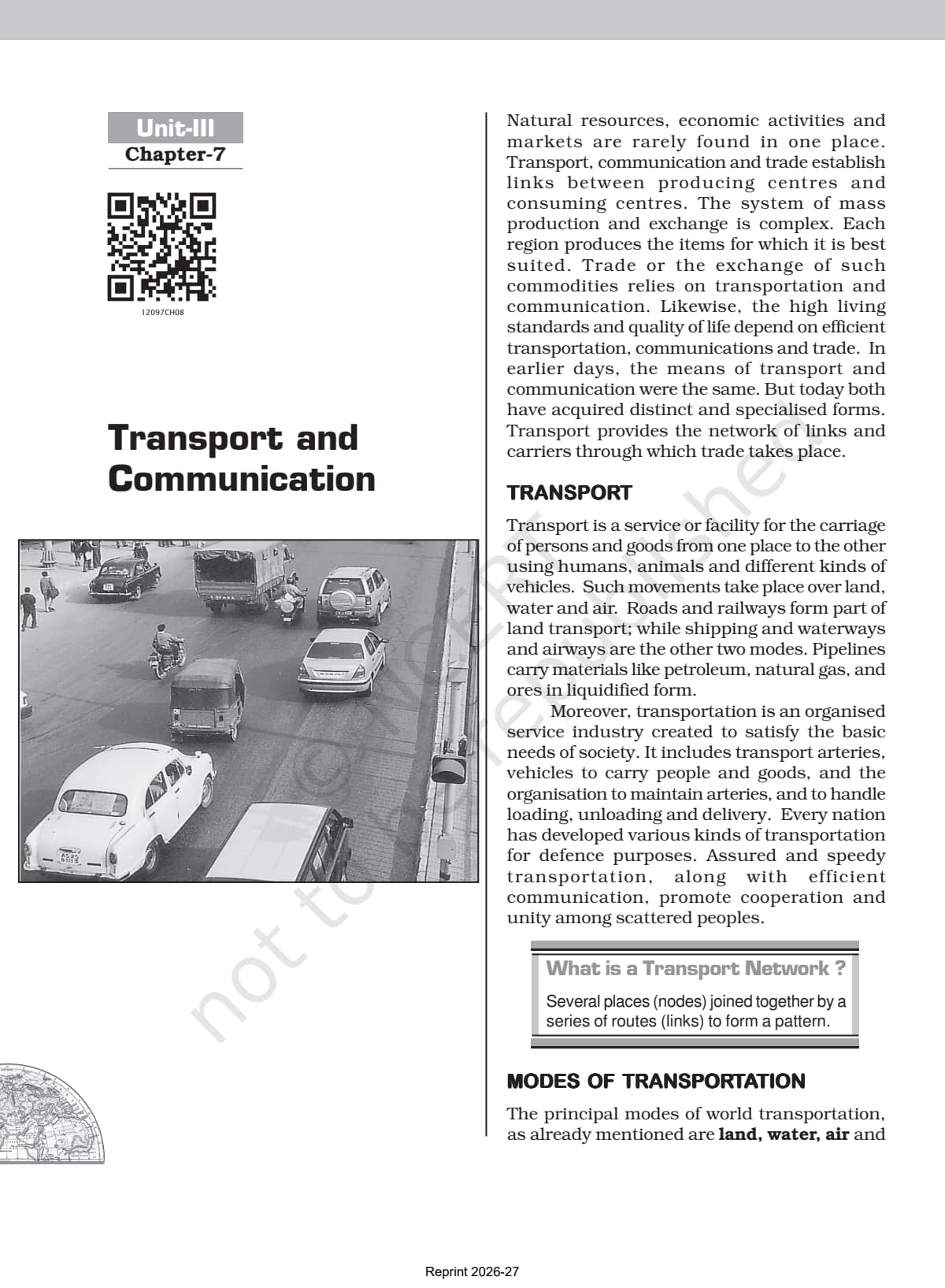
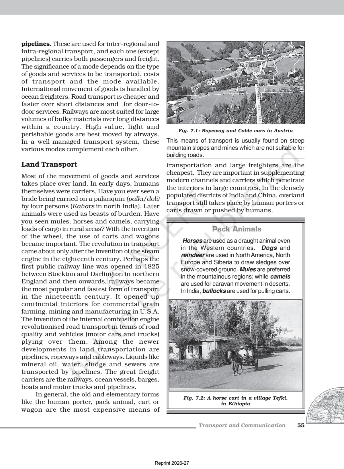
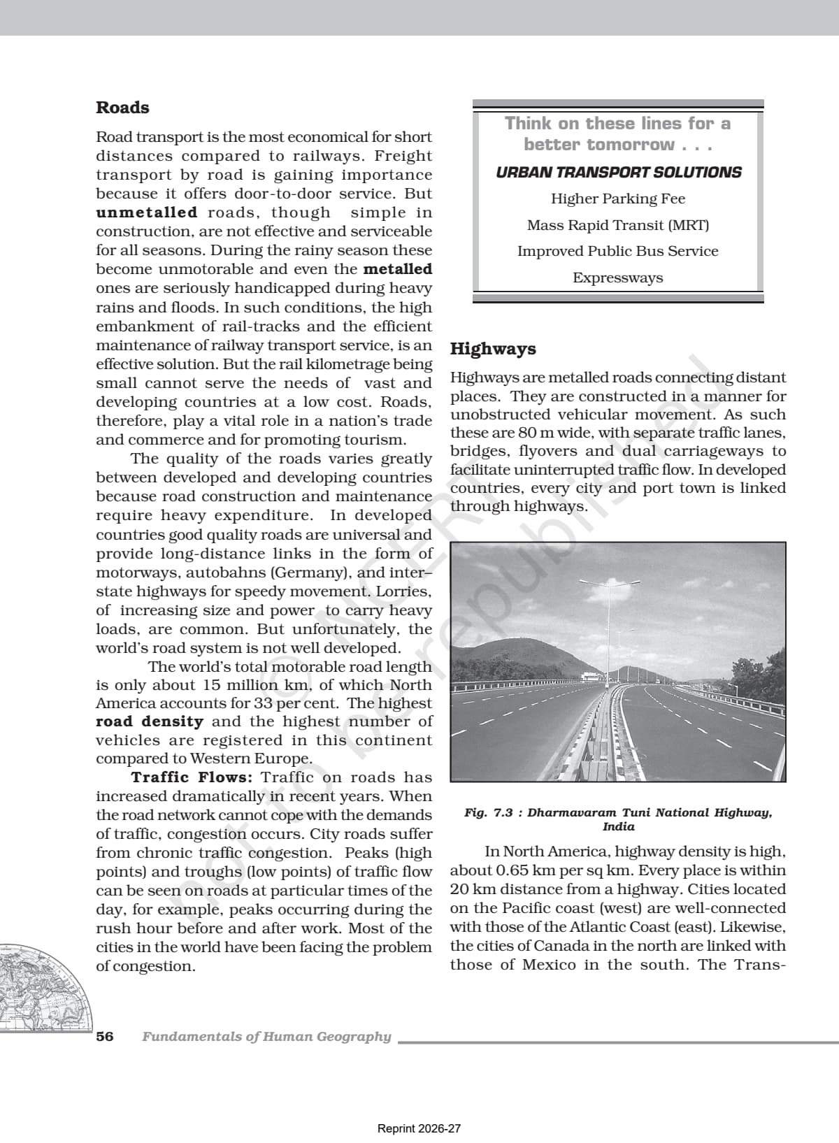
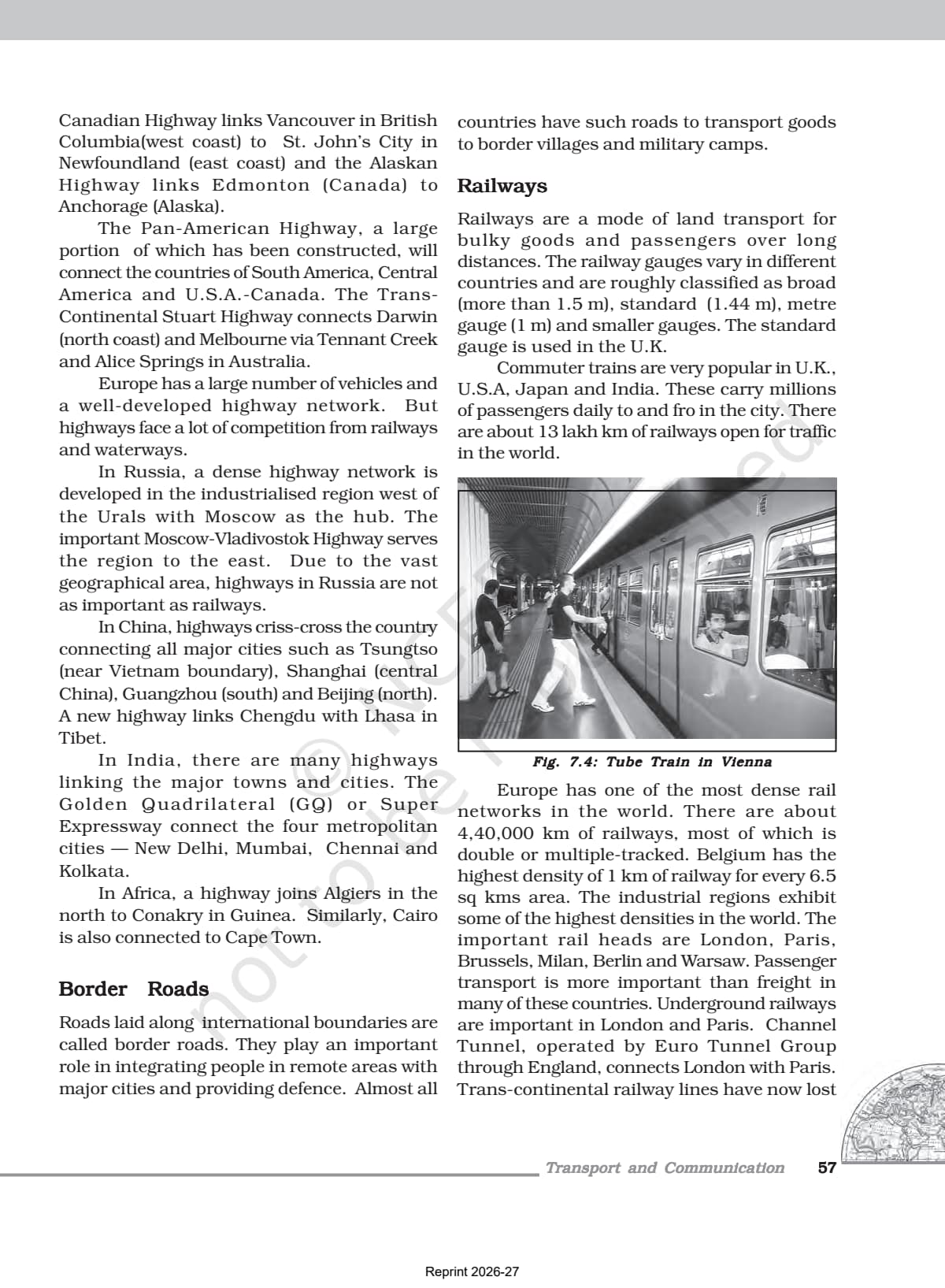
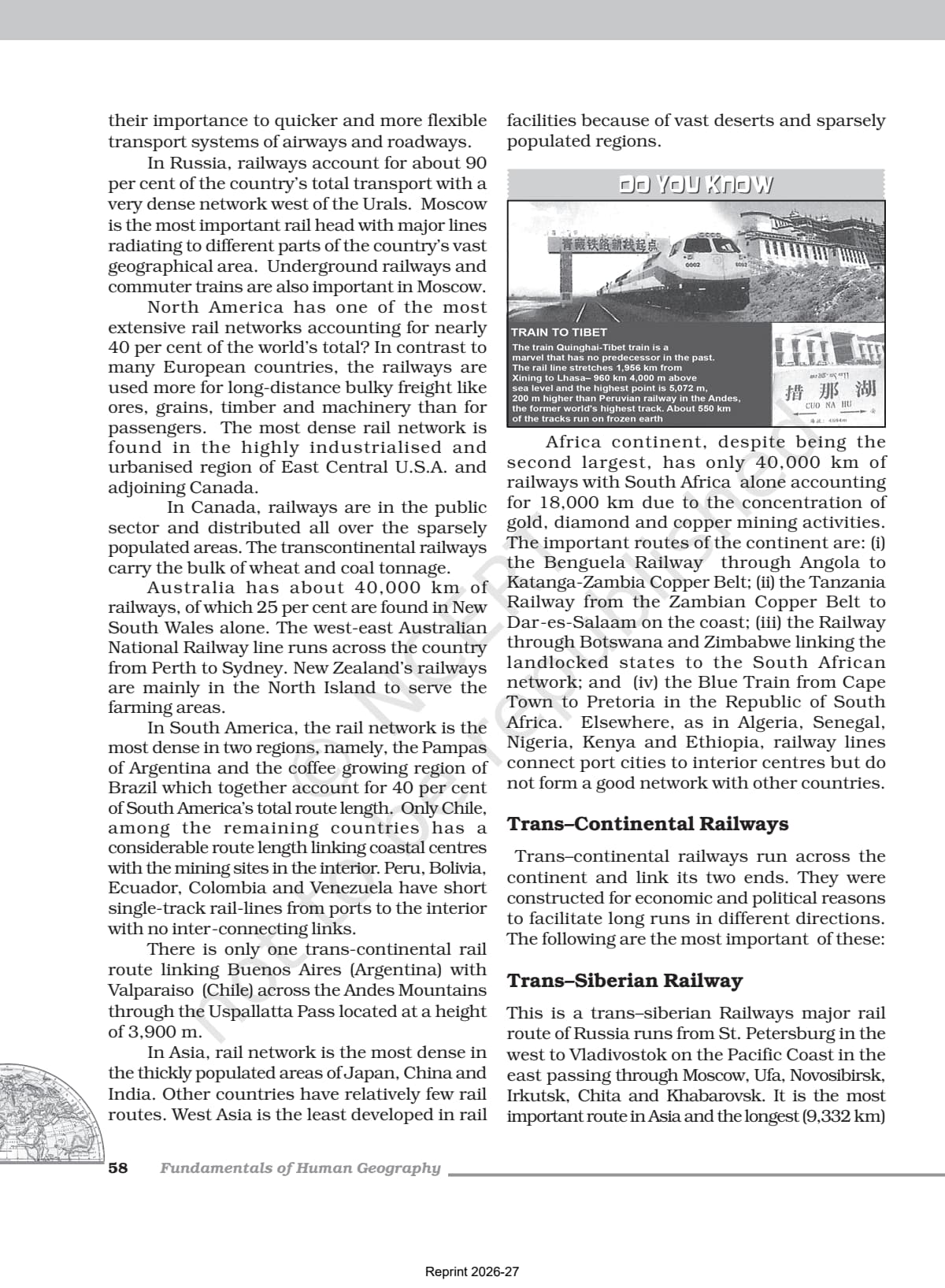
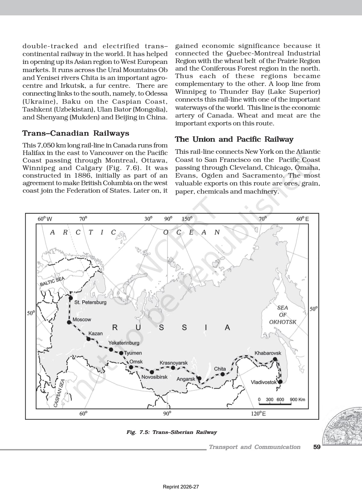
- Official NCERT Fundamentals of Human Geography Class 12 Chapter 7 PDF covering all modes of transport, major world sea routes, trans-continental railways, and satellite communication.
- 5-6 marks CBSE board-paper weightage for Chapter 7; the official textbook is the only source CBSE references when it sets definition and fact-based questions.
- Pair with the matching NCERT Solutions, Notes and Handwritten Notes for full chapter coverage.
Student Feedback
In a 2026 Collegedunia poll of 8,900 Class 12 Geography students, 79% said reading the NCERT chapter PDF directly improved their answers on transport modes and sea routes. Those who read the full PDF averaged 4.7 out of 5 marks on this chapter.
What This Chapter Covers in the NCERT Class 12 Book
The official NCERT PDF is the only document CBSE references for questions on transport modes, ocean routes and communication technology, so read it first for the 2026-27 board paper. The chapter surveys land, water and air transport, pipelines and ocean routes, then modern communication from the telegraph to satellites and the internet. Because natural resources and economic activities are rarely in the same place, transport and communication are the systems that connect producing and consuming centres.
Source: Magnet Brains on YouTube
Topics in the Chapter (Section-Wise Map of the NCERT PDF)
The table below maps each NCERT section to its main concept and exam angle.
| Section | NCERT Sub-topic | Dominant Exam Concept |
|---|---|---|
| 7.1 | Transport | Definition of transport; transport network (nodes + links); modes overview |
| 7.2 | Land Transport | Pack animals, roads (highways, border roads), railways, trans-continental railways, pipelines |
| 7.2.1 | Roads | Motorways/autobahns; world motorable road length (15 million km); North America 33% |
| 7.2.2 | Railways | Trans-Siberian, Trans-Canadian, Orient Express, Australian Trans-continental; Belgium highest density |
| 7.2.3 | Pipelines | Big Inch pipeline; oil, gas, water, milk through pipelines; U.S.A. pipeline network |
| 7.3 | Water Transport | Sea routes (Big Trunk Route, Mediterranean-Indian Ocean Route, Cape Route); Suez and Panama Canals; inland waterways |
| 7.4 | Air Transport | Fastest but expensive; major airport regions; intercontinental airways |
| 7.5 | Communication | Telegraph, telephone; optic fibre cables (OFC); satellite communication; cyberspace/internet |
Trans-continental railways and major sea routes together contribute most board-paper questions from this chapter, since route names, endpoints and commodities are all regularly tested.
Key Concepts From the NCERT Class 12 Geography Textbook
CBSE examiners reward exact NCERT phrasing, so reproduce these ideas in textbook language.
Modes of Transport and When to Use Each
Road transport is cheapest and fastest over short distances and for door-to-door service. Railways suit large volumes of bulky goods over long land distances; high-value, light and perishable goods go by airways; and international freight moves by ocean. In a well-managed system these modes complement rather than compete, a common two or three mark question.
Trans-Continental Railways
The Trans-Siberian Railway is the longest (9,332 km), St. Petersburg to Vladivostok. The Trans-Canadian runs 7,050 km from Halifax to Vancouver; the Union and Pacific links New York to San Francisco; the Australian Trans-Continental runs Perth to Sydney; and the Orient Express runs Paris to Istanbul. MCQs often ask which railway is longest or which cities a route connects.
Major Sea Routes
The North Atlantic (Big Trunk) Route links North-eastern U.S.A. with North-western Europe and carries about one fourth of world foreign trade, the busiest route. The Mediterranean-Indian Ocean Route runs through the Suez Canal (Port Said, Aden, Mumbai, Colombo, Singapore). The Cape of Good Hope Route links Western Europe with Africa and Australia, and the North/South Pacific and Southern Atlantic routes serve the rest.
Communication Technology
Communication shifted from the telegraph and telephone to optic fibre cables that carry data fast and error-free. Satellite communication grew after the 1970s; India launched Aryabhatt (1975), Bhaskar-I (1979) and APPLE (1981). Cyberspace and the internet grew from under 50 million users in 1995 to about 5.4 billion in 2023. Modern communication, more than transport, made the global village a reality.
Previous Year Question Trends From This Chapter
This chapter has contributed 4 to 6 marks in recent papers, mostly MCQs on route names, short answers on transport modes, and one longer question on sea routes or communication.
| Year | Marks | Question Types | Most Common Topic |
|---|---|---|---|
| 2025 | 5 | 1 MCQ + 1 short answer + 1 long answer | Trans-Siberian Railway; Big Trunk Route |
| 2024 | 6 | 2 MCQs + 2 short answers | Suez Canal; modes of transport comparison |
| 2023 | 4 | 1 MCQ + 1 short answer + 1 definition | Big Inch pipeline; cyberspace definition |
| 2022 | 5 | 2 MCQs + 1 long answer | Sea routes; advantages of water transport |
| 2020 | 4 | 1 MCQ + 1 short answer + 1 short answer | Trans-continental railways; satellite communication |
The most repeated question is an MCQ on which route is the Big Trunk Route, which trans-continental railway is longest, or which pipeline carries petroleum from the Gulf of Mexico. These need the exact NCERT content, not a paraphrase.
Connecting This Chapter to the Rest of Fundamentals of Human Geography
Chapter 7 is the practical complement to the economic-activity chapters. It explains the connective tissue that links primary (Chapter 4), secondary (Chapter 5) and tertiary (Chapter 6) activities, and feeds directly into Chapter 8 on international trade.
| Related Chapter | Concept Linked to Chapter 7 |
|---|---|
| Chapter 4: Primary Activities | Why agricultural commodities (wheat, coffee, cotton) need efficient transport to reach markets |
| Chapter 5: Secondary Activities | Why industrial regions grew near railways and ports (Trans-Canadian connects Prairie wheat belt to industry) |
| Chapter 6: Tertiary and Quaternary Activities | Information economy depends on communication networks (optic fibre cables, internet, satellites) |
| Chapter 8: International Trade | Ocean sea routes directly enable international trade; without the Big Trunk Route, North Atlantic trade collapses |
Quick Glossary From the NCERT Chapter
Be able to define each testable term in one line for MCQs and short answers.
- Transport network: Several places (nodes) joined together by a series of routes (links) to form a pattern.
- Big Trunk Route: The North Atlantic sea route linking North-eastern U.S.A. with North-western Europe; carries about one fourth of world foreign trade.
- Trans-continental railway: A railway that runs across a continent and links its two ends; built for economic and political reasons to facilitate long-haul travel.
- Big Inch pipeline: A famous petroleum pipeline in U.S.A. that carries oil from the Gulf of Mexico to North-eastern states.
- Suez Canal: Constructed in 1869 in Egypt, linking the Mediterranean Sea and the Red Sea; about 160 km long; 100 ships cross it daily.
- Panama Canal: A vital shipping waterway in Central America connecting the Atlantic and Pacific Oceans.
- Optic fibre cables (OFC): Cables that allow large quantities of data to be transmitted rapidly, securely, and virtually error-free.
- Cyberspace: The world of electronic computerised space encompassed by the internet; includes email, e-commerce, e-learning, and e-governance.
Also Explore Other Resources for Class 12 Geography Chapter 7
| Resource | Link |
|---|---|
| NCERT Solutions | Class 12 Geography Chapter 7 NCERT Solutions |
| Revision Notes | Class 12 Geography Chapter 7 Notes |
| Handwritten Notes | Class 12 Geography Chapter 7 Handwritten Notes |
| Subject Hub | Class 12 Geography All Chapters |
All Chapters: Class 12 Geography NCERT Book PDF (Fundamentals of Human Geography)
| Chapter | NCERT Book PDF |
|---|---|
| Chapter 1 | Human Geography: Nature and Scope NCERT Book PDF |
| Chapter 2 | The World Population: Distribution, Density and Growth NCERT Book PDF |
| Chapter 3 | Human Development NCERT Book PDF |
| Chapter 4 | Primary Activities NCERT Book PDF |
| Chapter 5 | Secondary Activities NCERT Book PDF |
| Chapter 6 | Tertiary and Quaternary Activities NCERT Book PDF |
| Chapter 7 | Transport and Communication NCERT Book PDF (You are here) |
| Chapter 8 | International Trade NCERT Book PDF |
Frequently Asked Questions on Class 12 Geography Chapter 7 NCERT Book PDF
Ques. Where can students download the official NCERT Class 12 Geography Chapter 7 PDF?
Ans. Students can download the official transport and communication class 12 NCERT book PDF directly from the download card at the top of this page. The PDF is the single-chapter file from the Fundamentals of Human Geography textbook, aligned to the 2026-27 CBSE syllabus.
Ques. Which sea route is called the Big Trunk Route in Class 12 Geography Chapter 7?
Ans. The North Atlantic Sea Route is called the Big Trunk Route. It links North-eastern U.S.A. with North-western Europe, the two most industrially developed regions of the world. About one fourth of the world's foreign trade moves on this route, making it the busiest sea route in the world.
Ques. What is the Trans-Siberian Railway and why is it important?
Ans. The Trans-Siberian Railway is the longest double-tracked and electrified trans-continental railway in the world at 9,332 km. It runs from St. Petersburg in the west to Vladivostok on the Pacific Coast in the east, passing through Moscow, Ufa, Novosibirsk, Irkutsk, Chita, and Khabarovsk. It helped open up Russia's Asian region to West European markets.
Ques. What are the advantages of water transport mentioned in the NCERT Chapter 7?
Ans. Water transport does not require route construction because oceans are naturally connected. The friction of water is far less than that of land, so the energy cost is lower. Ocean transport is a cheaper means of carrying bulky material over long distances from one continent to another. Modern ships are also equipped with radar, wireless, and other navigation aids to improve safety and efficiency.
Ques. What are the key facts about the Suez Canal from the NCERT Class 12 Geography textbook?
Ans. The Suez Canal was constructed in 1869 in Egypt between Port Said in the north and Port Suez in the south, linking the Mediterranean Sea and the Red Sea. It is about 160 km long and 11 to 15 m deep. About 100 ships travel daily and each ship takes 10 to 12 hours to cross. It greatly reduced the sea-route distance between Europe and Asia compared to the earlier Cape of Good Hope route.
Ques. What is cyberspace according to the NCERT Class 12 Geography Chapter 7?
Ans. Cyberspace is defined in the NCERT chapter as the world of electronic computerised space encompassed by the internet such as the World Wide Web (www). It is the electronic digital world for communicating or accessing information over computer networks without physical movement of the sender and the receiver. Internet users grew from less than 50 million in 1995 to about 5.4 billion in 2023.
Ques. Which pipeline is called the Big Inch and what does it carry?
Ans. Big Inch is a famous oil pipeline in U.S.A. that carries petroleum from the oil wells of the Gulf of Mexico to the North-eastern States. It is one example of how the U.S.A. has a dense network of oil pipelines connecting producing areas to consuming areas. About 17 per cent of all freight per tonne-km in the U.S.A. is carried through pipelines.
Ques. What is a transport network according to the NCERT textbook?
Ans. According to the NCERT chapter, a transport network is formed when several places (nodes) are joined together by a series of routes (links) to form a pattern. Transport provides the network of links and carriers through which trade takes place. The significance of any mode of transport depends on the type of goods and services to be transported, the costs involved, and the mode available.
Ques. Is the Class 12 Geography syllabus changing for 2026-27?
Ans. No major changes have been announced. The Fundamentals of Human Geography textbook chapter structure remains the same for 2026-27, and the official NCERT PDF available on this page is aligned to the 2026-27 CBSE syllabus. CBSE marking schemes continue to reward textbook phrasing in theory questions and exact facts in factual questions.
Ques. How does CUET test Class 12 Geography Chapter 7?
Ans. CUET Geography tests this chapter through MCQs on which sea route is the busiest, which trans-continental railway is the longest, what the Big Inch pipeline carries, and which country the Trans-Continental Stuart Highway connects in Australia. The questions are drawn directly from the NCERT textbook, so reading the official PDF is the most effective preparation for CUET as well as the CBSE board exam.
Ques. What is the best order to use the NCERT PDF, Notes, and Solutions for Class 12 Geography Chapter 7?
Ans. Read the NCERT PDF cold first, marking every route name, canal fact, and statistic. Then open the Class 12 Geography Chapter 7 Notes alongside the PDF and organise the route information in your own notebook. Attempt all exercise questions and verify them against the NCERT Solutions. Use the handwritten notes for last-mile revision the night before the exam.



Comments