




The Class 12 Geography Chapter 8 International Trade textbook PDF is the official NCERT source for every board question on India's foreign trade composition, direction of trade, and major sea ports and airports. It is a key chapter in India: People and Economy, regularly tested in CBSE, CUET, and UPSC.
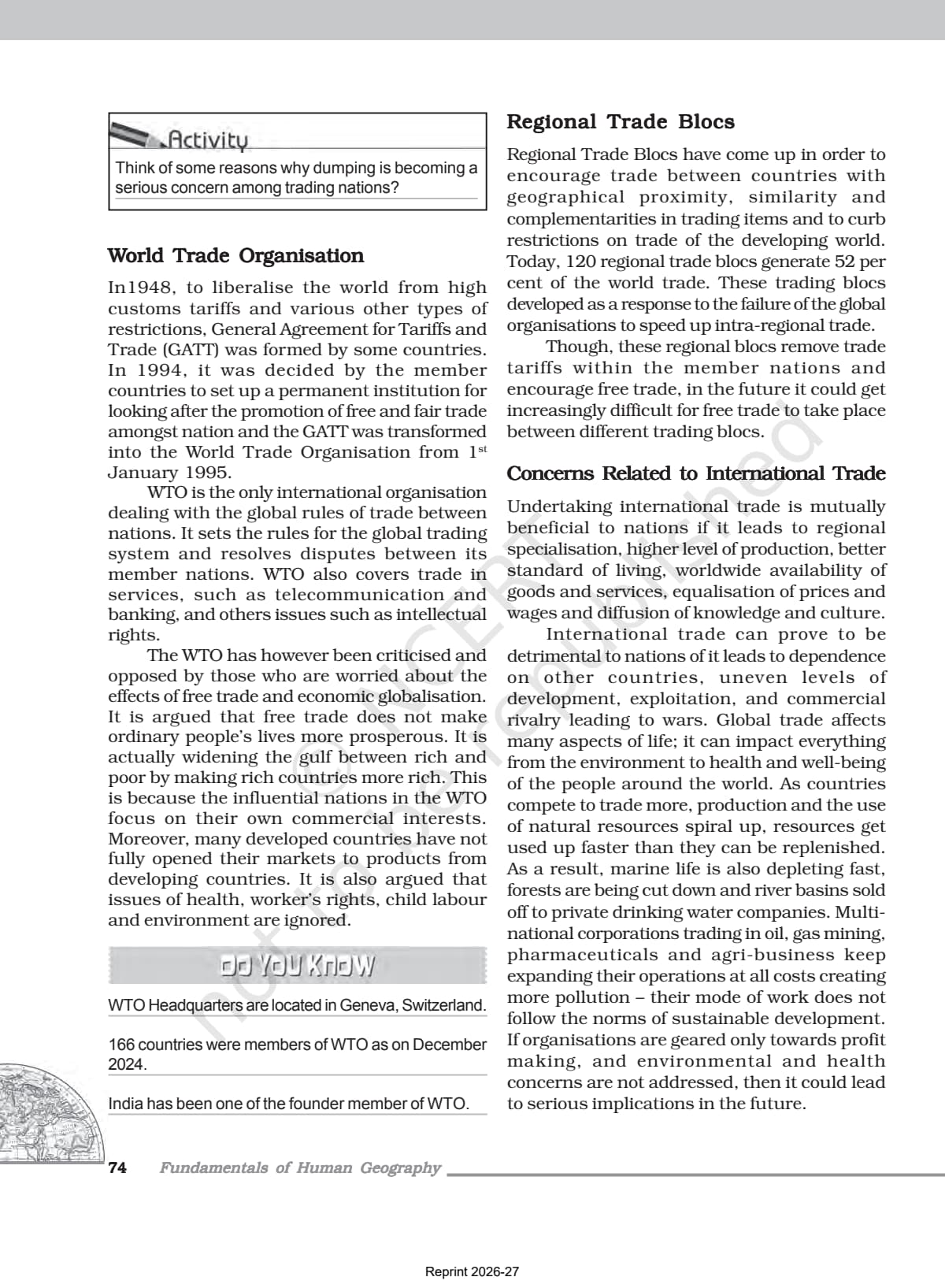
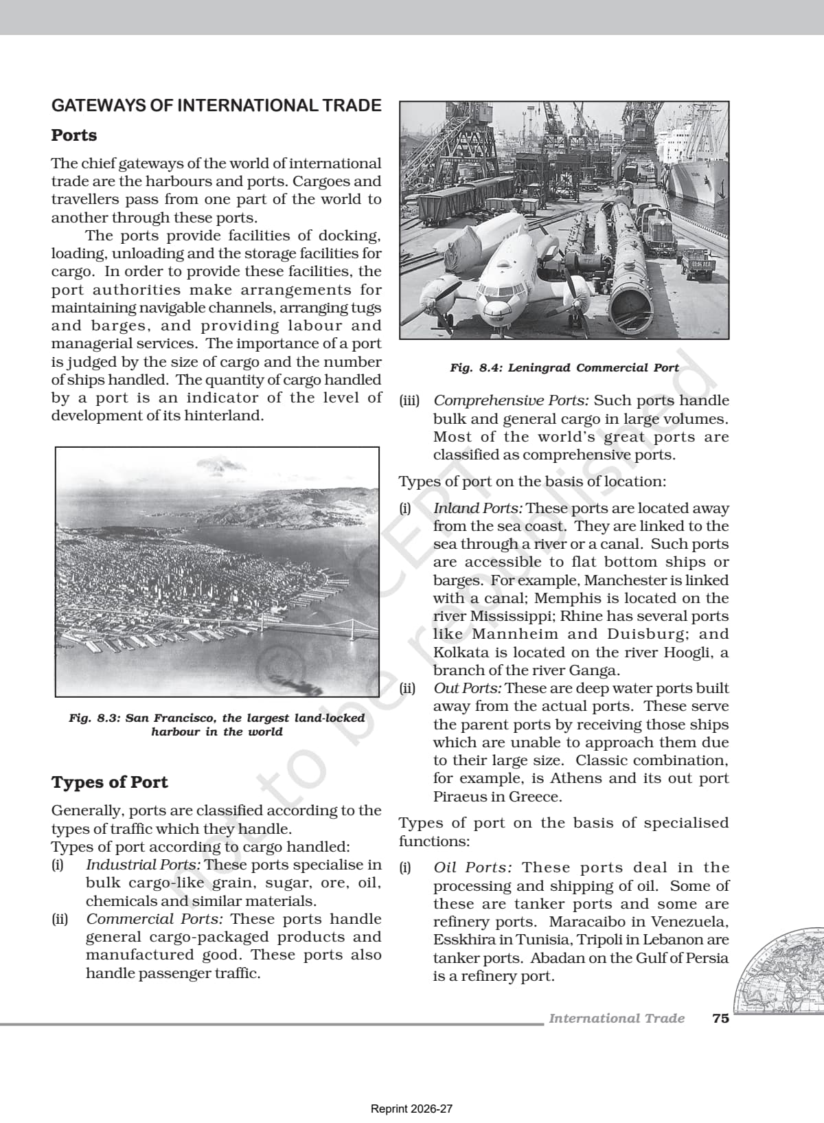
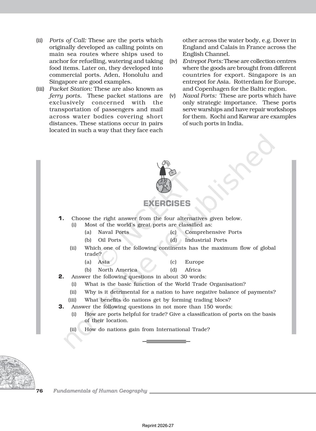

- Official NCERT India: People and Economy Class 12 Chapter 8 PDF covering the composition and direction of India's exports and imports, major sea ports on the east and west coast, and the role of air transport in international trade.
- Important exam chapter for CBSE boards, CUET, and UPSC with questions on trade balance, major export commodities, port hinterlands, and changing patterns of India's foreign trade.
- Pair with the matching NCERT Solutions, Notes and Handwritten Notes for complete chapter coverage.
Student Feedback
In a 2026 Collegedunia survey, 83% of students said the NCERT PDF was their primary source for Chapter 8, and those who paired it with the matched Notes and Solutions scored higher on trade composition and port questions.
What This Chapter Covers in the NCERT Class 12 Book
The international trade class 12 geography chapter is the official NCERT source for board questions on India's foreign trade, major ports, and the changing pattern of exports and imports. The NCERT textbook is the only document CBSE references for trade balance, port hinterlands, and direction of trade, so students preparing for the 2026-27 board paper should read this PDF first.
The PDF traces how India's external trade grew from Rs.1,214 crore in 1950-51 to over Rs.77 lakh crore in 2020-21, then explains the composition of exports (manufactured goods, agriculture, petroleum, ores), imports (petroleum, capital goods, fertilisers, edible oils), the direction of trade across regions, and the role of India's 12 major sea ports and major airports.
Source: Humanities Wallah - Class 12th on YouTube
Topics in the Chapter (Section-Wise Map of the NCERT PDF)
The table below maps each section of the international trade class 12 PDF to its dominant exam concept.
| Section | NCERT Sub-topic | Dominant Exam Concept |
|---|---|---|
| 8.1 | Changing Pattern of Composition of Exports | Share of manufactured goods (67.8%), agriculture, petroleum, ores and minerals in exports |
| 8.2 | Changing Pattern of Composition of Imports | Rise of petroleum imports, decline of foodgrain imports, capital goods and fertilisers |
| 8.3 | Direction of Trade | Region-wise trade data; Asia and ASEAN as the largest trading block |
| 8.4 | Sea Ports as Gateways | 12 major ports, west coast vs east coast ports, hinterlands |
| 8.5 | Major West Coast Ports | Kandla, Mumbai, JNPT, Mormugao, New Mangalore, Kochi |
| 8.6 | Major East Coast Ports | Kolkata, Haldia, Paradwip, Visakhapatnam, Chennai, Kamarajar, Tuticorin |
| 8.7 | Airports and Air Transport | 25 major airports, UDAN scheme, perishable and high-value cargo |
Export and import composition, port hinterlands, and direction of trade account for the largest share of board questions, with port names, hinterlands, and cargo appearing almost every year in CBSE papers and UPSC prelims.
Changing Pattern of India's Exports and Imports
Manufacturing was 67.8% of export value in 2021-22, the dominant category, down from 72.9% in 2015-16 due to competition from China and East Asia.
| Export Category | Share 2015-16 (%) | Share 2021-22 (%) | Trend |
|---|---|---|---|
| Agriculture and allied products | 12.6 | 11.9 | Slight decline; growth in marine products, fresh fruits, floriculture |
| Ores and Minerals | 1.6 | 2.0 | Largely stable |
| Manufactured goods | 72.9 | 67.8 | Decline due to global competition; engineering goods still growing |
| Crude and petroleum products | 11.9 | 16.4 | Sharp rise; India is a significant refiner and re-exporter |
On the import side, fuel (coal and petroleum) rose from 25.4% in 2015-16 to 31.6% in 2021-22, while capital goods imports fell from 13% to 10.1%, pointing to growth in domestic manufacturing.
Key Concepts From the NCERT Textbook
Reproducing NCERT phrasing in the board paper is the fastest route to full marks on theory questions, because examiners award marks for textbook language.
Trade Balance and Why It Matters
India's imports have consistently exceeded exports, giving a persistent trade deficit. In 2021-22, exports were Rs.31,47,021 crore and imports Rs.45,72,775 crore, a trade balance of Rs.(-14,25,753) crore.
Direction of Trade
Asia and ASEAN is India's largest trading partner by value, with imports reaching Rs.29,18,577 crore in 2021-22 (up from Rs.15,44,520 crore in 2016-17); Europe, North America, Africa, and Latin America follow. India aims to double its share in world trade by cutting import duties.
Hinterland of a Port
Hinterland is central here and appears as a common one- and three-mark question. It is the area of influence of a port: the region from which it draws export cargo and to which it distributes imports. Hinterlands of neighbouring ports often overlap, making sharp demarcation difficult.
Why Sea Transport Dominates
Most of India's foreign trade goes by sea and air, with a small share by land to Nepal, Bhutan, Bangladesh, and Pakistan. Sea transport dominates because water is a cheap surface for bulk goods and India has a long coastline on three sides. Many Indian ports carry the suffix "pattan" (port) in their names.
Previous Year Question Trends From This Chapter
The international trade class 12 board questions follow a stable pattern; students preparing for 2026-27 should expect questions on port hinterlands and export composition almost every year. The chapter contributes about 3 to 5 marks, with map-based port questions in the practical component.
| Question Type | Marks | Most Common Topic |
|---|---|---|
| MCQ / One-liner | 1 | Name a land-locked harbour; identify the largest container port in India |
| Short answer (30 words) | 2-3 | Define hinterland; distinguish between port and harbour; characteristics of India's foreign trade |
| Long answer (150 words) | 5 | Describe the changing composition of export and import trade of India |
| Map-based (practical) | 1-2 | Mark major ports on outline map of India; identify east coast ports |
| UPSC / CUET type | Varies | Reasons for India's trade deficit; role of sea ports in international trade |
The most tested facts: Visakhapatnam is a land-locked harbour, Jawaharlal Nehru Port at Nhava Sheva is India's largest container port, and Mumbai is the biggest port with 54 berths.
Connecting This Chapter to the Rest of Class 12 Geography
This is the last major economic geography chapter before Chapter 9. It connects back to Chapter 7 (Transport and Communication), since trade depends on transport networks.
| Chapter | Connection to Chapter 8 International Trade |
|---|---|
| Chapter 3 Land Resources and Agriculture | Agriculture products (marine, floriculture, sugar) form India's export basket |
| Chapter 5 Mineral and Energy Resources | Iron ore and petroleum are major trade commodities; both export and import |
| Chapter 7 Transport and Communication | Rail, road, and port networks enable cargo movement for international trade |
| Chapter 9 Geographical Perspective | Environmental impact of industrial growth that drives export-led economy |
| Fundamentals of Human Geography (Chapter 9) | Students already learned theoretical basis of international trade in Part 1 |
Quick Glossary From the NCERT Chapter
Students should be able to define each of these terms in a single line for one-mark questions.
- Trade balance: the difference between the value of exports and imports; a deficit means imports exceed exports.
- Hinterland: a port's area of influence, the region it draws export cargo from and distributes imports to.
- Harbour: a sheltered water body, natural or artificial, where ships anchor safely.
- Port: a coastal place with facilities to load and unload cargo and passengers; broader than a harbour.
- Land-locked harbour: a harbour reached by a constructed channel, not open water (Visakhapatnam).
- Import substitution: developing domestic industries to make goods once imported.
- Containerisation: moving cargo in standardised sealed containers for efficient port handling (JNPT is India's largest container port).
Sea Ports as Gateways of International Trade
Students should know the location, cargo specialty, and hinterland of each of India's 12 major ports for board map questions and UPSC prelims. India's west coast has more ports than its east coast, linked to the historical dominance of west-coast trade with the Middle East, Mediterranean, and Europe.
Major West Coast Ports
- Deendayal Port (Kandla): at the head of the Gulf of Kuchchh; petroleum and fertilisers; serves western and north-western India; offshore terminal at Vadinar.
- Mumbai Port: India's biggest port; a natural harbour with 54 berths; hinterland covers MP, Maharashtra, Gujarat, UP, and parts of Rajasthan.
- Jawaharlal Nehru Port (Nhava Sheva): India's largest container port; a satellite built to relieve Mumbai.
- Mormugao Port (Goa): natural harbour on the Zuari estuary; key for iron-ore exports to Japan; hinterland is Karnataka, Goa, and southern Maharashtra.
- New Mangalore Port: iron-ore, fertilisers, petroleum, coffee, tea; hinterland is Karnataka.
- Kochi Port: natural harbour at a lagoon entrance; petroleum, fertilisers, general cargo; hinterland is Kerala.
Major East Coast Ports
- Kolkata Port: riverine port on the Hugli; once British India's capital-port; faces siltation; hinterland covers UP, Bihar, Jharkhand, West Bengal, Sikkim, the north-east, Nepal, and Bhutan.
- Haldia Port: 105 km downstream of Kolkata; bulk cargo (iron ore, coal, petroleum, jute).
- Paradwip Port: in the Mahanadi delta; deepest harbour for very large vessels; mainly iron-ore exports; hinterland is Odisha, Chhattisgarh, Jharkhand.
- Visakhapatnam Port: a land-locked harbour in Andhra Pradesh, reached by a channel cut through solid rock and sand; iron-ore, petroleum, general cargo.
- Chennai Port: one of the oldest artificial harbours (1859); shallow waters limit large ships; hinterland is Tamil Nadu and Puducherry.
- Kamarajar (Ennore) and V.O. Chidambaranar (Tuticorin): built to relieve Chennai port.
Also Explore Other Resources for Class 12 Geography
| Resource | Link |
|---|---|
| NCERT Solutions | Class 12 Geography Chapter 8 NCERT Solutions |
| Revision Notes | Class 12 Geography Chapter 8 Notes |
| Handwritten Notes | Class 12 Geography Chapter 8 Handwritten Notes |
| Subject Hub | Class 12 Geography All Chapters |
All Chapters: Class 12 Geography India People and Economy NCERT Book PDF
| Chapter | NCERT Book PDF |
|---|---|
| Chapter 1 | Population Distribution, Density, Growth and Composition |
| Chapter 2 | Human Settlements NCERT Book PDF |
| Chapter 3 | Land Resources and Agriculture NCERT Book PDF |
| Chapter 4 | Water Resources NCERT Book PDF |
| Chapter 5 | Mineral and Energy Resources NCERT Book PDF |
| Chapter 6 | Planning and Sustainable Development NCERT Book PDF |
| Chapter 7 | Transport and Communication NCERT Book PDF |
| Chapter 8 | International Trade NCERT Book PDF (You are here) |
| Chapter 9 | Geographical Perspective on Selected Issues NCERT Book PDF |
Frequently Asked Questions on Class 12 Geography Chapter 8 NCERT Book PDF
Ques. Where can students download the official NCERT Class 12 Geography Chapter 8 PDF?
Ans. Students can download the official international trade class 12 NCERT book PDF directly from the download card at the top of this page. The PDF is Chapter 8 from the NCERT India: People and Economy textbook, aligned to the 2026-27 CBSE syllabus.
Ques. What are the main topics covered in NCERT Class 12 Geography Chapter 8 International Trade?
Ans. The chapter covers five main topics: changing composition of India's exports (manufactured goods, agriculture, petroleum, ores); changing composition of India's imports (petroleum, capital goods, fertilisers, edible oils); direction of trade (region-wise data, Asia and ASEAN as the largest partner); sea ports as gateways (12 major ports on east and west coast, their hinterlands); and airports and air transport (25 major airports, UDAN scheme, role in international trade).
Ques. What is meant by the hinterland of a port according to the NCERT Class 12 Geography chapter?
Ans. The hinterland of a port is the area of influence of that port - the region from which it draws cargo for export and to which it distributes imported goods. The NCERT chapter notes that hinterlands of neighbouring ports often overlap, making sharp boundary demarcation difficult. For example, Mumbai port's hinterland covers Maharashtra, MP, Gujarat, UP, and parts of Rajasthan, while Kandla port also serves parts of western and north-western India.
Ques. Why does India have a trade deficit according to the NCERT Class 12 textbook?
Ans. India has a persistent trade deficit because the value of its imports consistently exceeds the value of its exports. The NCERT chapter highlights that high petroleum import bills (fuel accounted for 31.6% of imports in 2021-22) are a major driver, along with imports of capital goods, gold and silver, and edible oils. The trade balance in 2021-22 was Rs.(-14,25,753) crore. India is taking steps to address this through import liberalisation, delicensing, and promoting export-oriented manufacturing.
Ques. Which is India's largest container port and why is it important?
Ans. Jawaharlal Nehru Port (JNPT) at Nhava Sheva near Mumbai is India's largest container port. It was developed as a satellite port to relieve the pressure at Mumbai port. Containerisation allows efficient, standardised loading and unloading of cargo, making JNPT the hub for India's manufactured goods exports. The NCERT chapter mentions it while describing the Mumbai port complex on India's west coast.
Ques. What is Visakhapatnam called in the NCERT chapter and what makes it unique?
Ans. The NCERT chapter describes Visakhapatnam Port as a land-locked harbour - the only one of its kind among India's major ports. It is connected to the sea by a channel cut through solid rock and sand rather than through open water. An outer harbour has been developed to handle iron-ore, petroleum, and general cargo. Andhra Pradesh and Telangana form the main hinterland of this port. This "land-locked harbour" description is a very common MCQ in CBSE board papers.
Ques. How has the composition of India's exports changed over the years as per the NCERT chapter?
Ans. According to the NCERT chapter, the share of manufactured goods in India's exports declined from 72.9% in 2015-16 to 67.8% in 2021-22 due to tough international competition, especially from China and East Asian countries. Petroleum and crude products increased from 11.9% to 16.4% as India became a significant refiner. Agriculture's share slightly declined, though marine products, fresh fruits, and floriculture showed growth. Engineering goods and gems and jewellery remain important within the manufacturing basket.
Ques. Why does India's west coast have more ports than its east coast?
Ans. The NCERT chapter notes this fact but does not give an explicit reason in the text; it asks students to find reasons themselves. Generally, the west coast faces the Arabian Sea, which historically had more active trade routes to the Middle East, Mediterranean, and Europe. The west coast also has more natural harbours and river estuaries suited for port development. The east coast ports like Kolkata and Chennai were developed mainly for colonial resource extraction from the interior, while west coast ports served the older trading networks.
Ques. What is the Asia and ASEAN region's importance in India's direction of trade?
Ans. Asia and ASEAN is India's largest trading partner by import value, accounting for Rs.29,18,577 crore in 2021-22 (up from Rs.15,44,520 crore in 2016-17). This region includes major economies like China, Japan, Singapore, South Korea, and the ASEAN bloc. India imports machinery, electronics, chemicals, and raw materials from this region. The NCERT chapter's Table 8.6 gives region-wise import data that is frequently used in UPSC and board exam answers on the direction of India's trade.
Ques. How does air transport differ from sea transport in international trade as per the NCERT chapter?
Ans. The NCERT chapter states that air transport has the advantage of taking the least time and is ideal for handling high-value or perishable goods over long distances. However, it is very costly and unsuitable for heavy, bulky commodities. As a result, air transport's share in international trade is much smaller than sea transport. India had 25 major airports (as per Annual Report 2016-17), and the UDAN scheme has since operationalised 73 additional unserved or underserved airports including heliports and water aerodromes (as of 2023).
Ques. Is the Class 12 Geography syllabus changing for 2026-27?
Ans. No major structural changes have been announced for 2026-27. The India: People and Economy textbook chapter structure remains unchanged, and the official NCERT PDF on this page is aligned to the 2026-27 CBSE syllabus. CBSE marking schemes continue to reward textbook phrasing in theory answers and accurate data from the NCERT chapter in statistics-based questions on trade composition and port details.
Ques. What is the best order to use the NCERT PDF, Notes, and Solutions for Class 12 Geography Chapter 8?
Ans. Read the NCERT PDF first (cold read, noting trade data tables and port descriptions). Then open the matching Class 12 Geography Chapter 8 Notes alongside the PDF to build your port hinterland table and export-import summary. Attempt all end-of-chapter exercises and verify against the NCERT Solutions. Use the Handwritten Notes for last-mile revision the day before the board exam.



Comments