




The NCERT Solutions for Class 12 Geography (India: People and Economy) Chapter 8 International Trade cover all 3 textbook exercise questions, in line with the 2026-27 CBSE syllabus. Every answer is written in plain English, following the textbook's order: composition and volume of India's exports and imports, the direction of trade, sea ports as gateways, and air routes.
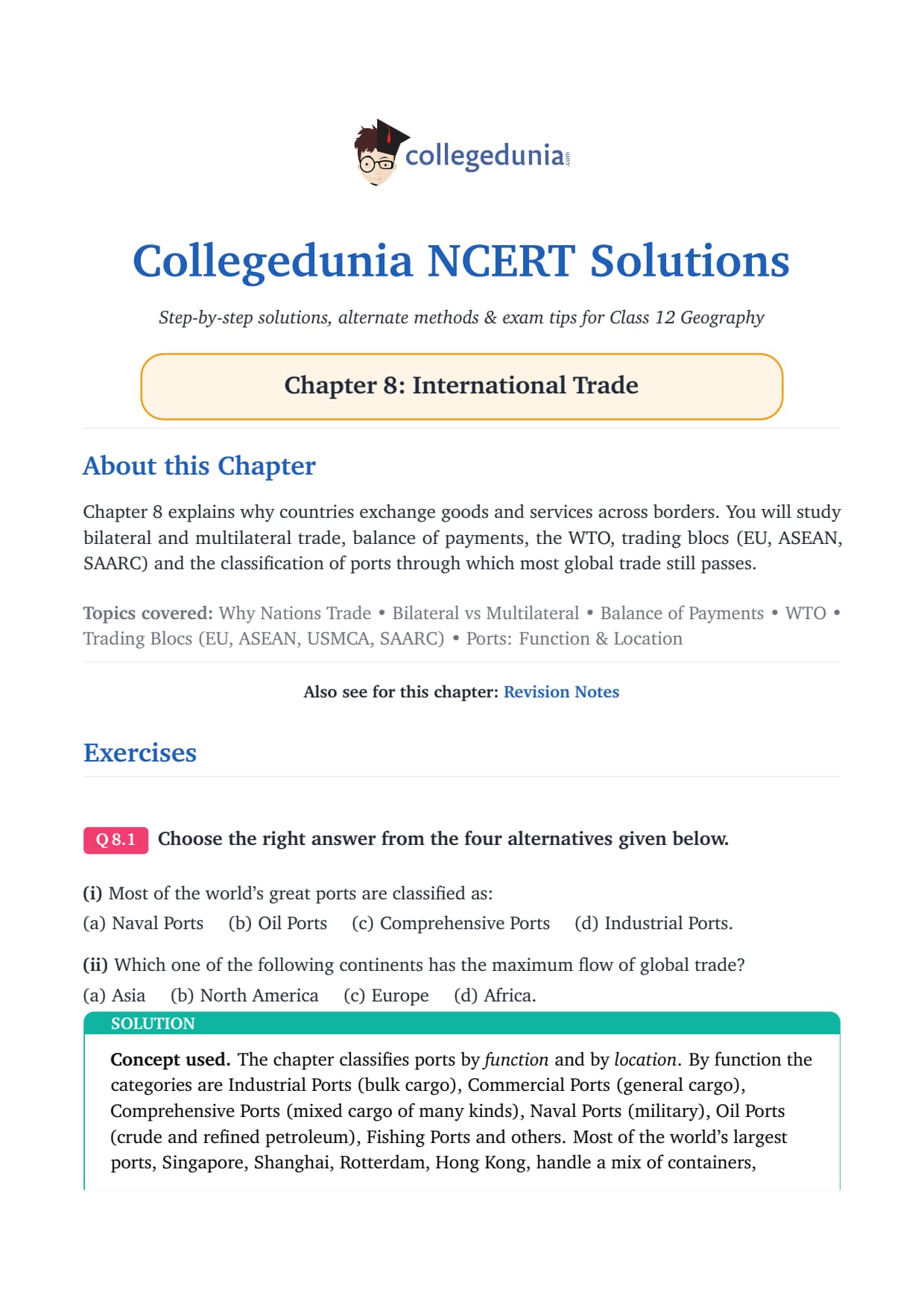
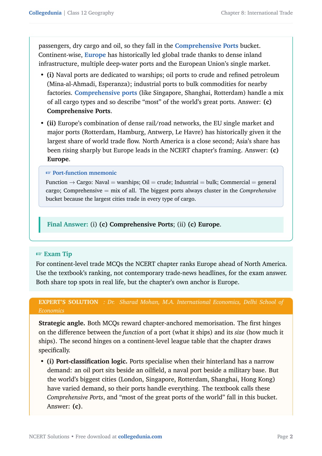
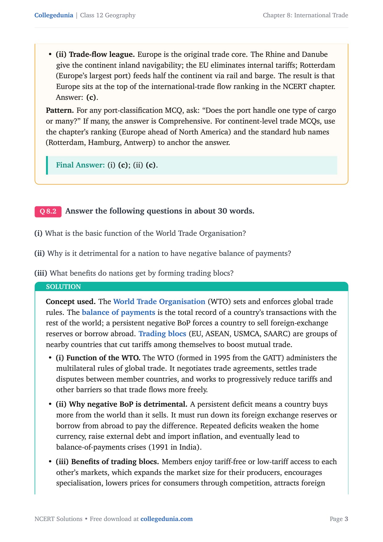
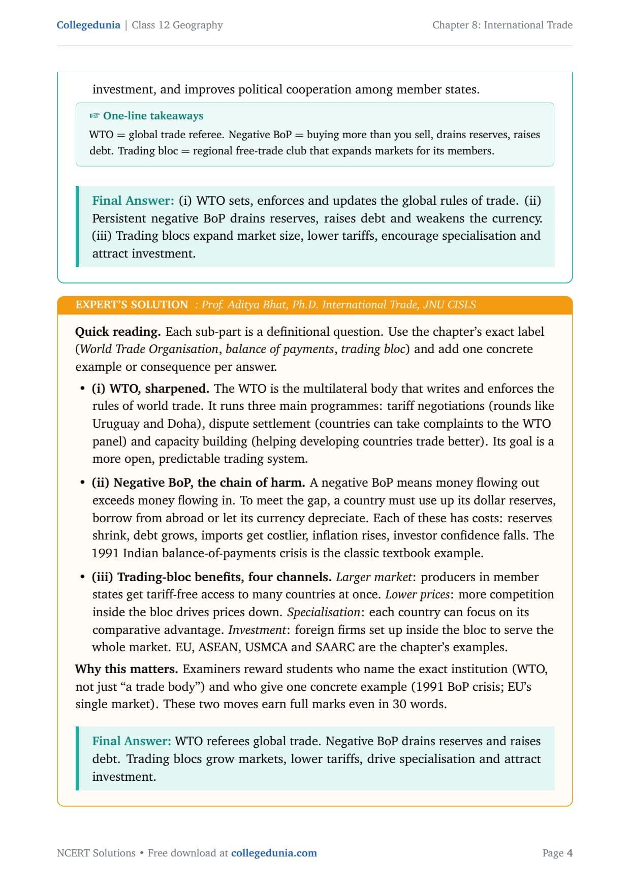

- 3 NCERT exercise questions from Chapter 8 of India: People and Economy solved with plain prose and bullets, plus an Expert's Solution per question that adds exam strategy, board-paper links and UPSC angles.
- Full coverage of the changing pattern of India's exports and imports, trade balance, major sea ports (Kandla, Mumbai, JNPT, Vishakhapatnam, Paradip, Haldia, Chennai, Kochi and others), hinterlands, and air routes.
- Answers aligned with the 2026-27 CBSE Class 12 Geography syllabus and CUET Geography question patterns; no JEE or NEET references because Geography is a Humanities subject.
Student Feedback
71% of Class 12 students rated International Trade as a map-heavy chapter, and 3 out of 4 said naming all 12 major ports with their correct coasts was the hardest part. Toppers reported that a quick west-coast vs east-coast port table in the answer book added 2 to 3 marks.
What the NCERT Solutions for Class 12 Geography Chapter 8 Cover
This chapter answers one big question: how does India trade with the world, and what infrastructure makes that possible? The NCERT textbook splits the answer across three broad themes, and our international trade class 12 ncert solutions follow that order.
- Volume, composition and direction of foreign trade: how the export-import basket has changed and who India's biggest partners are.
- Sea ports as gateways: why sea dominates, the 12 major ports with their hinterlands, and the harbour-vs-port difference.
- Air routes and airports: air transport for high-value goods, the 25 major airports, and the post-2017 UDAN scheme.
Source: Humanities Wallah - Physics Wallah on YouTube
Exercise-wise Breakdown: Chapter 8 International Trade NCERT Solutions
Chapter 8 carries 3 end-of-chapter exercise questions mixing MCQs, 30-word short answers and 150-word long answers. The table below maps each question to its topic, answer style and typical marks.
| Question | Topic covered | Answer style | Typical marks |
|---|---|---|---|
| Q1 | MCQs on trade-type definition, the land-locked harbour and the dominant transport mode | 3 MCQs, one answer each with short reasoning | 3 marks |
| Q2 | 30-word short answers: foreign trade characteristics, port vs harbour, hinterland definition, major imports, east-coast ports | Plain prose, one or two sentences per sub-part | 10 marks |
| Q3 | 150-word essays: composition of export-import trade; changing nature of India's international trade | Structured prose with bullets per sub-part | 10 marks |
Q2 and Q3 carry the bulk of the marks. Use the exact chapter phrase for port-vs-harbour, name all six east-coast ports in Q2(v), and give at least five exports and five imports by name in Q3.
India's International Trade: Volume, Composition and Direction
India's foreign trade has grown from Rs 1,214 crore in 1950-51 to Rs 77,19,796 crore in 2020-21. Three dimensions matter: volume, composition and direction.
- Volume and trade balance. Total trade value has risen sharply, but imports always exceed exports, so the trade balance stays negative (a trade deficit). In 2021-22, exports were Rs 31,47,021 crore and imports Rs 45,72,775 crore, a deficit of Rs 14,25,753 crore.
- Composition of exports. The basket has moved from primary commodities to manufactured goods (67.8% in 2021-22: engineering goods, gems, textiles, pharma, chemicals), plus crude and petroleum products (16.4%) and agriculture and allied products (11.9%).
- Composition of imports. Food grains dominated in the 1950s-60s until the Green Revolution; the 1973 oil crisis pushed fuel to the top (31.6% in 2021-22). Other big items: capital goods, gold and silver, edible oils and pulses, fertilisers and chemicals.
- Direction. Asia and ASEAN is the dominant region. Europe, North America and Africa follow. India aims to double its share in world trade via import liberalisation, lower duties, delicensing and product patents.
Sea Ports as Gateways of International Trade
Most of India's foreign trade moves by sea, with high-value cargo going by air. Sea dominates because of India's 7,500 km coastline, its seafaring tradition, and water being a cheap, smooth surface for bulk cargo. India has 12 major ports and 200 minor or intermediate ports.
- A harbour is a sheltered body of water giving safe anchorage, natural (Mumbai, Vishakhapatnam, Kochi) or artificial (Chennai, 1859).
- A port is a harbour plus commercial infrastructure: docks, cranes, warehouses, customs and rail-road links. Every port has a harbour, but not every harbour is a port.
- The hinterland of a port is the inland area whose goods it exports and whose imports it distributes. Boundaries are fuzzy and often overlap between neighbouring ports.
The British used ports as "suction points" for extracting resources. After Partition, India lost Karachi (to Pakistan) and Chittagong (to Bangladesh), so it developed new ports like Kandla. Port capacity grew from 20 million tonnes in 1951 to over 837 million tonnes by 2016.
Major West Coast and East Coast Ports of India
The west coast has more major ports than the east coast, a handy board-exam fact. The table below lists all 12 major ports with their location, key feature and hinterland.
| Port | State / Location | Key feature | Hinterland |
|---|---|---|---|
| Deendayal (Kandla) | Gujarat, Gulf of Kachchh | Handles bulk petroleum and fertilisers; offshore terminal at Vadinar | Western and north-western India (Rajasthan, Punjab, Haryana, Gujarat) |
| Mumbai | Maharashtra, natural harbour | Biggest port; 54 berths; largest oil terminal; close to Middle East and Mediterranean routes | Maharashtra, Gujarat, MP, UP, parts of Rajasthan |
| Jawaharlal Nehru Port (JNPT / Nhava Sheva) | Maharashtra | Largest container port in India; satellite port to Mumbai | Delhi-NCR belt and same as Mumbai |
| Mormugao | Goa, Zuari estuary | Natural harbour; major iron-ore export to Japan; extended by Konkan Railway | Goa, southern Maharashtra, Karnataka |
| New Mangalore | Karnataka | Handles iron ore, fertilisers, petroleum, coffee, tea, wood pulp | Karnataka |
| Kochi (Cochin) | Kerala, Vembanad Kayal | Natural harbour; close to Suez-Colombo route; "Queen of the Arabian Sea" | Kerala, southern Karnataka, south-western Tamil Nadu |
| Shyama Prasad Mookerjee (Kolkata) | West Bengal, Hugli river (128 km inland) | Developed by British; faces silting in Hugli; extends to Nepal and Bhutan | UP, Bihar, Jharkhand, West Bengal, Sikkim, North-East |
| Haldia | West Bengal (105 km downstream from Kolkata) | Bulk cargo: iron ore, coal, petroleum, jute products; reduces congestion at Kolkata | Same as Kolkata |
| Paradip | Odisha, Mahanadi delta | Deepest harbour; suited for very large vessels; major iron-ore export | Odisha, Chhattisgarh, Jharkhand |
| Vishakhapatnam | Andhra Pradesh | Land-locked harbour; basin connected to sea by channel cut through rock and sand; handles iron ore, petroleum, general cargo | Andhra Pradesh and Telangana |
| Chennai | Tamil Nadu | Oldest east-coast port; artificial harbour (1859); shallow waters limit large vessels | Tamil Nadu and Puducherry |
| Kamarajar (Ennore) | Tamil Nadu (25 km north of Chennai) | Newly developed; relieves pressure on Chennai | Tamil Nadu |
| V.O. Chidambaranar (Tuticorin) | Tamil Nadu | Relieves pressure on Chennai; coal, salt, food grains, edible oils, chemicals, petroleum | Southern Tamil Nadu |
Tip: The board's favourite "landlocked harbour" question answers to Vishakhapatnam: its basin lies inland and connects to the Bay of Bengal through a narrow channel cut through rock, shielded by Dolphin's Nose hill.
Air Routes and India's International Trade
Air transport plays an important but limited role. It is fast and safe for high-value or perishable goods (electronics, gems, pharma, flowers, seafood) but costly for bulk cargo, so its share of trade volume is small while its share of trade value is high.
- India had 25 major airports (Annual Report 2016-17) across cities like Delhi, Mumbai, Chennai, Kolkata, Bengaluru, Hyderabad, Ahmedabad and Kochi.
- The UDAN scheme (2017) operationalised 73 unserved or underserved airports, including 9 heliports and 2 water aerodromes, to improve regional connectivity.
The maximum air routes converge on the metro airports, Delhi, Mumbai, Chennai and Kolkata, because of their concentration of population, economic activity and trade.
Common Mistakes Students Make in Chapter 8 Answers
The five repeat-offender mistakes in Chapter 8 board answers:
- Saying only "sea" for the transport mode: the NCERT answer is "sea and air"; writing only "sea" drops a mark.
- Confusing harbour and port: always add the clause "every port has a harbour, but not every harbour is a port."
- Misidentifying Vishakhapatnam's coast: it is the east-coast landlocked harbour; Mumbai is the west-coast natural harbour.
- Forgetting the trade deficit: India's imports have always exceeded exports, so the trade balance is negative. This is the anchor fact for any trade-characteristics question.
- Missing the hinterland concept: name at least two states for any port's hinterland.
Previous Year Question Trends from Chapter 8
Chapter 8 is consistently tested in CBSE board papers around three stable areas: trade characteristics, ports and hinterlands, and the harbour-port distinction. The table below maps recent board questions.
| Year | Question type asked | Marks |
|---|---|---|
| 2025 | Describe the composition of India's export and import trade. Name the major items in each category. | 5 |
| 2024 | Distinguish between port and harbour. Explain the concept of hinterland with suitable examples. | 3 |
| 2023 | Write a note on the changing nature of India's international trade since Independence. | 5 |
| 2022 | Name any four major ports on the east coast of India and give one key feature of each. | 4 |
| 2021 | Mention the characteristics of India's foreign trade. How has the trade balance changed over time? | 3 |
Also Check: A port-based question appears almost every year alongside one trade-composition or trade-characteristics question; together these two blocks cover roughly 85% of what Chapter 8 asks.
Other Resources for Class 12 Geography Chapter 8 International Trade
Pair this NCERT Solutions PDF with the matching notes, handwritten notes and the official NCERT book chapter, all linked below.
| Resource | What it covers | Open |
|---|---|---|
| NCERT Solutions | Step-by-step answers to all 3 exercise questions, with Expert's Solution alternatives. | You are here |
| Notes | Concept-first revision notes covering trade composition, port hinterlands, harbour vs port and air routes. | Class 12 Geography Chapter 8 Notes |
| Handwritten Notes | Topper's handwritten revision pages for last-minute board exam practice. | Class 12 Geography Chapter 8 Handwritten Notes |
| NCERT Book PDF | Official NCERT India: People and Economy Chapter 8 textbook in PDF form. | Class 12 Geography Chapter 8 NCERT Book PDF |
| Subject Hub | All chapters of Class 12 Geography with every resource in one place. | Class 12 Geography Subject Hub |
India: People and Economy - All Chapters NCERT Solutions
Related Links: Use the table below for the NCERT Solutions of the other Class 12 India: People and Economy chapters, each with the same plain-English style, PDF and FAQ.
| Chapter | Topic | NCERT Solutions link |
|---|---|---|
| Chapter 1 | Population Distribution, Density, Growth and Composition | NCERT Solutions for Class 12 Geography Chapter 1 IPE |
| Chapter 2 | Human Settlements | NCERT Solutions for Class 12 Geography Chapter 2 Human Settlements |
| Chapter 3 | Land Resources and Agriculture | NCERT Solutions for Class 12 Geography Chapter 3 Land Resources and Agriculture |
| Chapter 4 | Water Resources | NCERT Solutions for Class 12 Geography Chapter 4 Water Resources |
| Chapter 5 | Mineral and Energy Resources | NCERT Solutions for Class 12 Geography Chapter 5 Mineral and Energy Resources |
| Chapter 6 | Planning and Sustainable Development | NCERT Solutions for Class 12 Geography Chapter 6 Planning and Sustainable Development |
| Chapter 7 | Transport and Communication | NCERT Solutions for Class 12 Geography Chapter 7 Transport and Communication |
| Chapter 8 | International Trade | You are here |
| Chapter 9 | Geographical Perspective on Selected Issues and Problems | NCERT Solutions for Class 12 Geography Chapter 9 Geographical Perspective |
All NCERT Solutions for Class 12 Geography Chapter 8 International Trade with Step-by-Step Solutions
Choose the right answers of the following from the given options.
Answer the following questions in about 30 words.
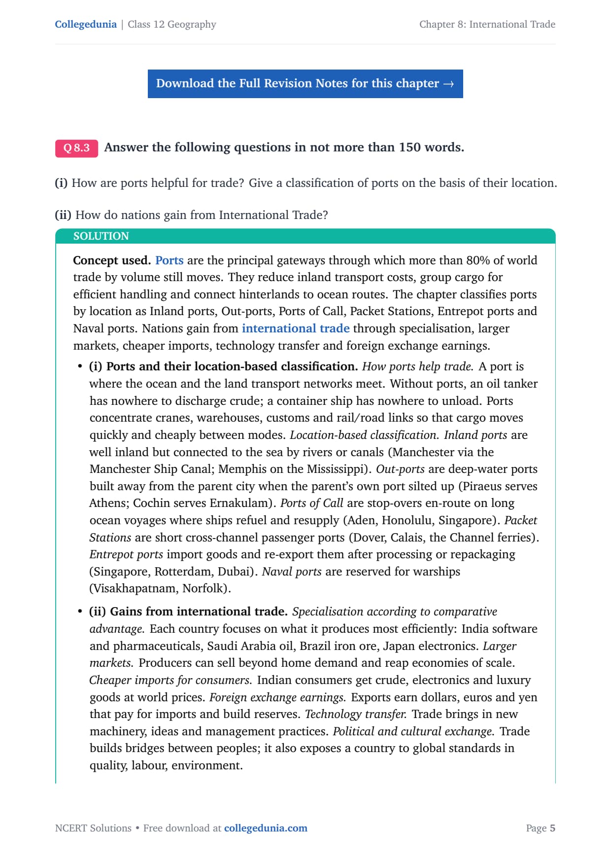
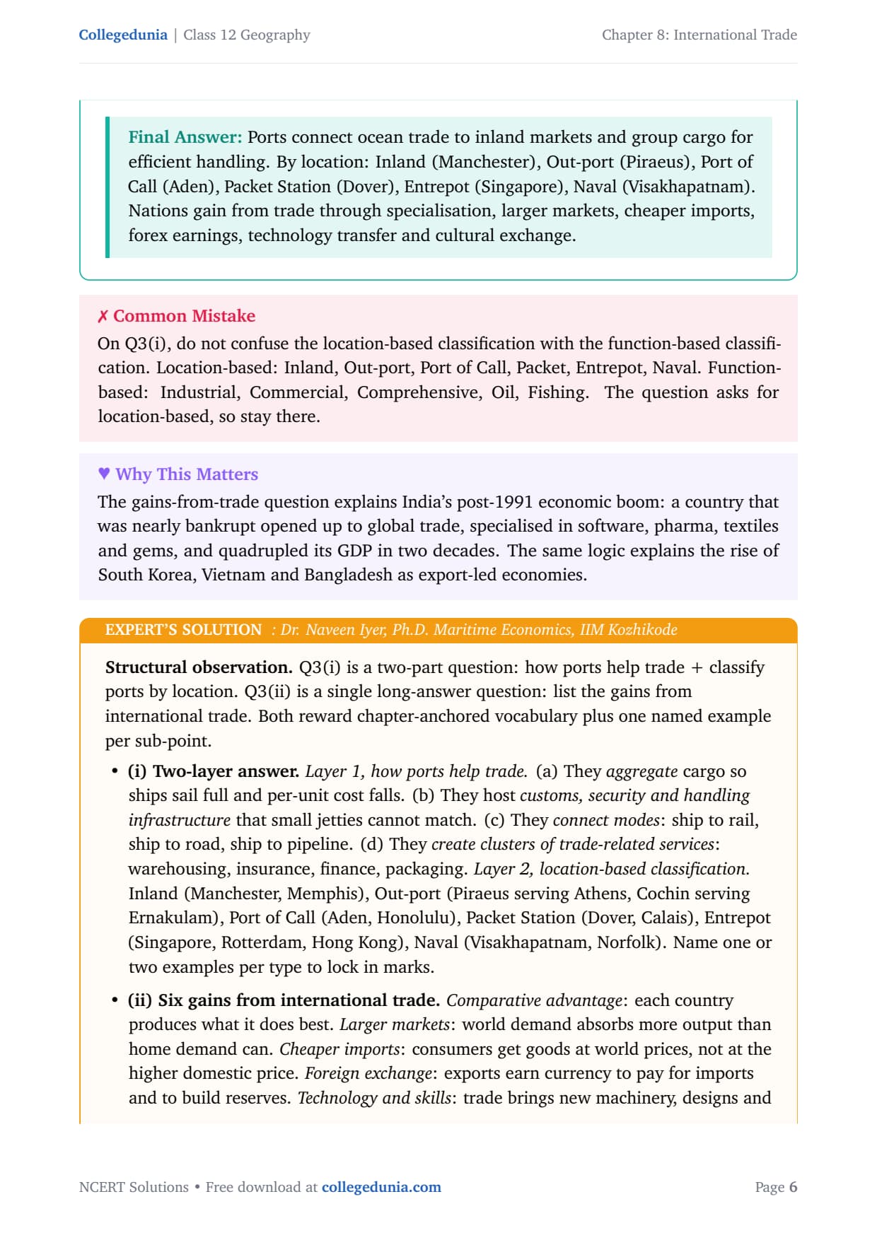
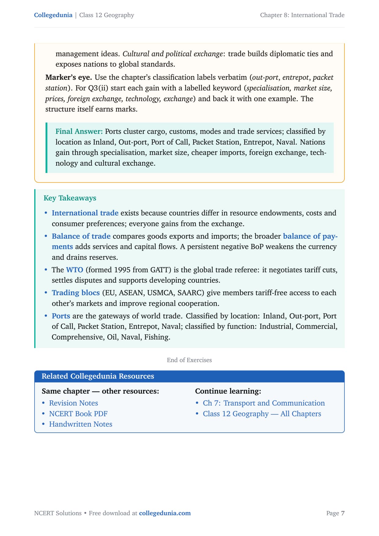
Answer the following questions in about 150 words.
NCERT Solutions Class 12 Geography Chapter 8 International Trade FAQs
Ques. How many questions are there in NCERT Class 12 Geography Chapter 8 International Trade?
Ans. There are 3 end-of-chapter exercise questions in NCERT Class 12 Geography Chapter 8 International Trade. Question 1 has 3 MCQs on trade definitions and transport modes. Question 2 has 5 short-answer sub-parts in about 30 words each on trade characteristics, port vs harbour, hinterland, major imports and east-coast ports. Question 3 has 2 long-answer sub-parts in about 150 words each on the composition and changing nature of India's international trade. All 3 questions are solved in full with plain-English explanations and Expert's Solutions in our international trade class 12 ncert solutions PDF.
Ques. Which port in India is called a landlocked harbour?
Ans. Vishakhapatnam in Andhra Pradesh is the landlocked harbour. Its harbour basin lies well inland and is connected to the Bay of Bengal through a narrow channel cut through solid rock and sand, partly shielded by Dolphin's Nose hill. This is unlike Mumbai (natural open-coast harbour), Chennai (artificial harbour) or Haldia (river port). The term "landlocked harbour" is the exact NCERT phrase and is tested every few years as a direct one-mark question or as MCQ option (ii) in Exercise 1 of this chapter.
Ques. What is the difference between a port and a harbour in Class 12 Geography?
Ans. A harbour is a sheltered body of water, natural or artificial, that provides safe anchorage for ships. A port is a harbour plus the full commercial and industrial infrastructure: docks, cranes, warehouses, customs facilities, and road-and-rail connections to the hinterland. In short, a port is a working harbour with the systems needed to load, unload and distribute cargo. Every port has a harbour, but not every harbour is a port. This distinction is the most-asked 30-word short answer from Chapter 8 of NCERT Class 12 India: People and Economy.
Ques. What is a hinterland in geography Class 12?
Ans. The hinterland of a port is the inland geographic area whose goods are exported through that port and whose imports are distributed from it. It is the zone of economic influence of the port on the interior. For example, Mumbai port's hinterland covers Maharashtra, Gujarat, Madhya Pradesh, UP and parts of Rajasthan. Kolkata port's hinterland covers Bihar, Jharkhand, West Bengal, Sikkim and the North-East states, and also provides port facilities to landlocked Nepal and Bhutan. The NCERT chapter notes that hinterland boundaries are not fixed and can overlap between neighbouring ports.
Ques. What are the major east coast ports of India Class 12?
Ans. The major east coast ports of India listed in the NCERT Class 12 India: People and Economy Chapter 8 are Tuticorin (V.O. Chidambaranar Port) in Tamil Nadu, Chennai (artificial harbour, oldest east-coast port), Kamarajar (Ennore) in Tamil Nadu, Vishakhapatnam (landlocked harbour) in Andhra Pradesh, Paradip in Odisha (deepest harbour, large vessels), and Haldia in West Bengal. The west coast has six major ports: Deendayal (Kandla), Mumbai, JNPT (Nhava Sheva), Mormugao, New Mangalore and Kochi. This east-west asymmetry, with more traffic on the west coast, is a common exam question.
Ques. What are the characteristics of India's foreign trade Class 12?
Ans. India's foreign trade has five key characteristics as described in the NCERT Chapter 8: (1) The trade volume has grown sharply from Rs 1,214 crore in 1950-51 to Rs 77,19,796 crore in 2020-21. (2) India always runs a trade deficit, meaning imports exceed exports throughout the period. (3) The export basket has diversified from primary commodities (jute, tea, cotton) to manufactured goods (engineering, gems, pharma, petroleum products). (4) The import basket is dominated by petroleum crude, electronics, gold and machinery. (5) Most foreign trade moves through sea routes, with high-value cargo going by air.
Ques. What does India mainly export and import in Class 12 Geography?
Ans. India's main exports, as described in the NCERT Class 12 Chapter 8 tables, are manufactured goods (67.8% of total exports in 2021-22), which include engineering goods, gems and jewellery, petroleum products, pharmaceuticals, textiles and garments. Agriculture and allied products (fresh fruits, marine products, spices, rice, sugar) and crude and petroleum products make up the rest. India's main imports are petroleum crude (the largest single item at about 25-30% of total imports), gold and silver, electronic goods, machinery and capital goods, chemicals, fertilisers, edible oils and pulses. This composition explains why India runs a trade deficit.
Ques. What is the role of sea transport in India's international trade?
Ans. Sea transport is the dominant mode of India's international trade, carrying about 95% of total trade by volume. India's long coastline of over 7,500 km, its 12 major ports and 200 minor or intermediate ports, and its tradition of seafaring make sea transport both cost-effective and essential for bulk cargo like petroleum, iron ore, coal, fertilisers and food grains. The chapter notes that water provides a smooth and cheap surface for cargo movement, making sea far cheaper per tonne-km than air or land for heavy goods. Air transport handles high-value, low-volume cargo such as electronics, gems, pharmaceuticals and perishables.
Ques. Is the Class 12 Geography Chapter 8 International Trade syllabus changing for 2026-27?
Ans. No major changes have been made to Chapter 8 International Trade in the 2026-27 CBSE Class 12 Geography syllabus. The chapter structure of India: People and Economy remains unchanged for the current cycle. The trade composition tables, the 12 major ports, the hinterland concept, the harbour-vs-port distinction and the air routes section are all intact for 2026-27. Our international trade class 12 ncert solutions for the 2026-27 cycle are fully aligned to the NCERT textbook reprint 2026-27 and the latest CBSE sample paper released for the 2026 boards.
Ques. Why does India import edible oil despite being an agriculturally rich country?
Ans. India imports edible oils, mainly palm oil from Malaysia and Indonesia and soybean oil from Brazil and Argentina, because domestic production of oilseeds is not enough to meet the rising demand of a large and growing population. The country's agricultural land is used primarily for food grains, pulses and vegetables, and oilseed yields in India are relatively low compared to global producers. Palm oil grows in tropical climates that do not match most of India's geography at the required scale. The NCERT chapter uses this as an example showing that even agriculturally rich countries can have structural import needs for specific commodities.
Ques. Why does the west coast of India have more ports than the east coast?
Ans. The west coast of India has more major ports because it faces the Arabian Sea and has direct sea routes to the major trade partners in the Middle East, East Africa, Europe and North America. These routes carry the bulk of India's import trade (petroleum from the Gulf, trade with EU). The west coast also has more natural harbours with deeper waters and more sheltered bays, which made port development easier historically. In contrast, the east coast faces the Bay of Bengal, which has fewer sheltered natural harbours and less direct route access to high-trade-volume destinations. The chapter notes this as an interesting geographic fact and asks students to explore the reasons behind it.



Comments