




The Class 12 Geography Chapter 7 Transport and Communication textbook PDF is the official NCERT source for every board question on India's road networks, railways, waterways, air transport, pipelines, and communication systems. It is an important chapter in the India: People and Economy book and is regularly tested in CBSE boards, CUET, and UPSC.
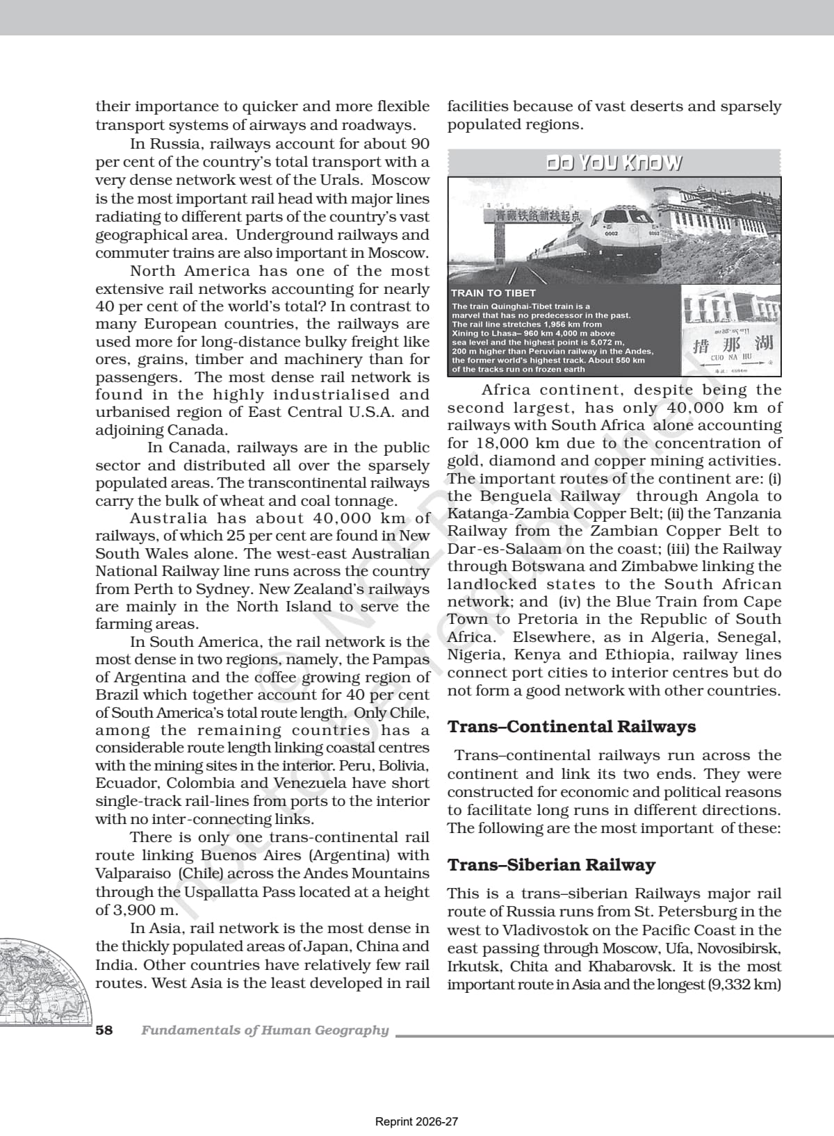
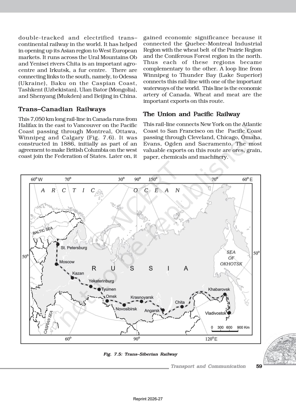
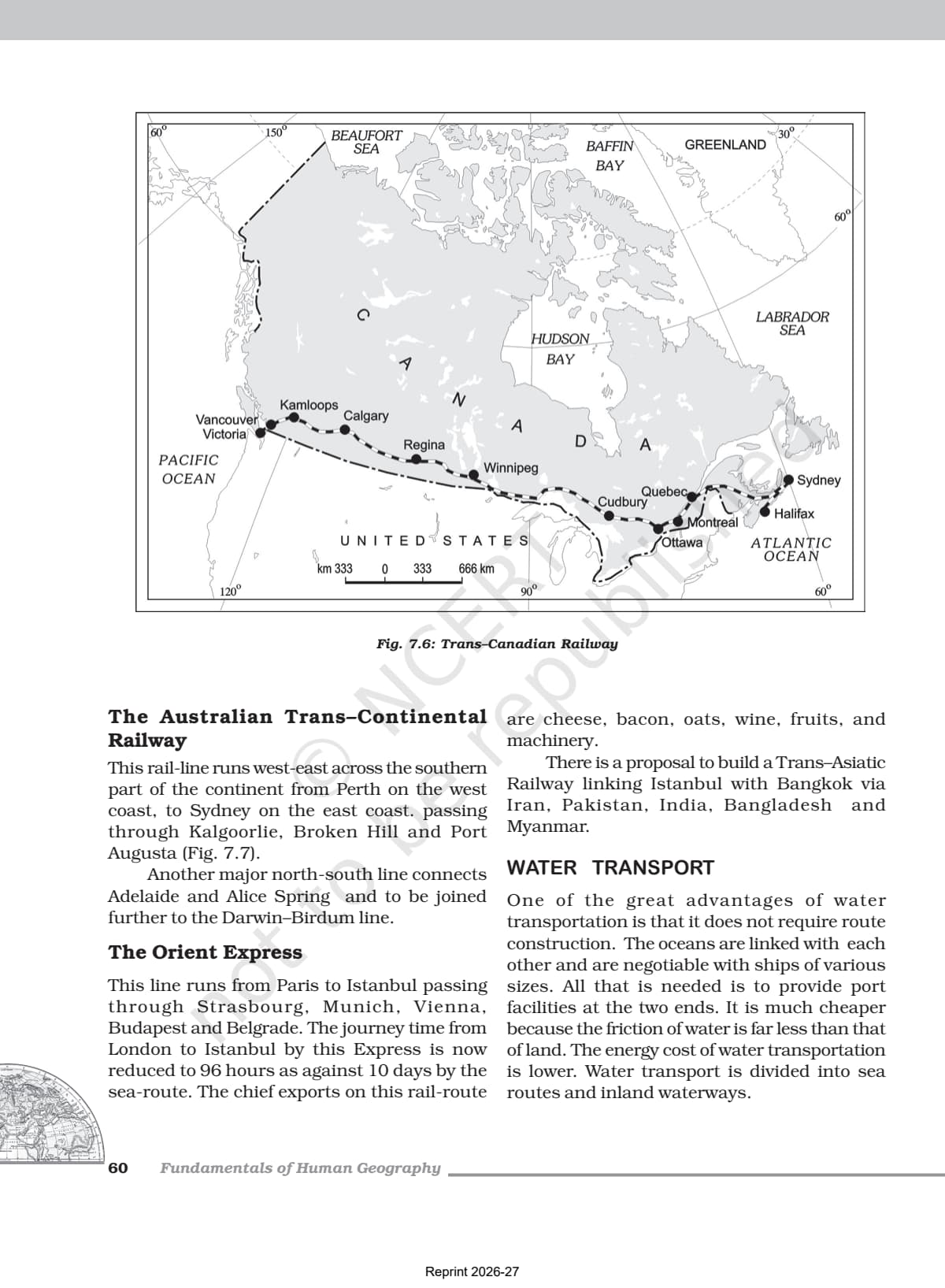
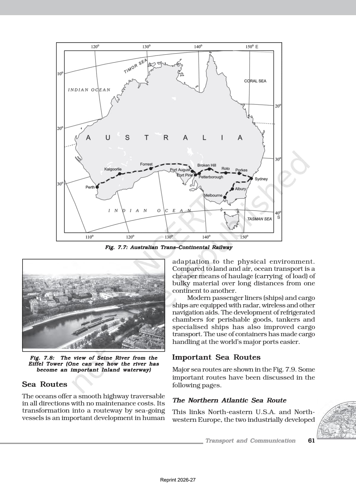
- Official NCERT India: People and Economy Class 12 Chapter 7 PDF covering land transport (roads, railways), water transport, air transport, pipelines, and communication networks including satellite systems.
- Key exam chapter for CBSE boards, CUET, and UPSC with questions on Golden Quadrilateral, national waterways, satellite communication, and the UDAN scheme.
- Pair with the matching NCERT Solutions, Notes and Handwritten Notes for complete chapter coverage.
Student Feedback
In a 2026 Collegedunia survey of Class 12 Geography students, 84% said the NCERT textbook PDF was their primary source for Chapter 7. Those who paired it with the matched Notes and Solutions scored higher on transport-network and communication questions.
What This Chapter Covers in the NCERT Class 12 Book
The official NCERT textbook is the only document CBSE references for questions on road networks, railway zones, national waterways and satellite communication, so read this PDF first for the 2026-27 board paper. The chapter moves from the oldest transport (roads and railways) through water, air and pipelines to modern communication networks, from All India Radio and Doordarshan to satellite systems like INSAT and IRS.
Source: Magnet Brains on YouTube
Topics in the Chapter (Section-Wise Map of the NCERT PDF)
The table below maps each NCERT section to the key concept students need for exams.
| Section | NCERT Sub-topic | Dominant Exam Concept |
|---|---|---|
| 7.1 | Land Transport - Road | National Highways, Golden Quadrilateral, Bharatmala, Border Roads |
| 7.2 | Land Transport - Railways | 17 railway zones, gauge types, Konkan Railway, metro rail |
| 7.3 | Water Transport | 5 National Waterways (NW 1-5), 12 major ports, oceanic routes |
| 7.4 | Air Transport | Airport Authority of India, UDAN scheme, Pawan Hans |
| 7.5 | Oil and Gas Pipelines | OIL, GAIL, HVJ pipeline, Naharkatiya-Barauni pipeline |
| 7.6 | Personal Communication | Internet, e-mail, e-commerce |
| 7.7 | Mass Communication | All India Radio (Akashwani), Doordarshan, INSAT, IRS |
Road transport, railways and national waterways account for the largest share of board questions. Communication networks (satellite systems and AIR) are also increasingly common in CBSE papers and UPSC prelims.
Road Transport in India
India has one of the largest road networks in the world, about 62.16 lakh km. Roads carry about 85% of passenger traffic and 70% of freight, so road questions appear almost every year.
| Road Category | Length (km, 2020) | Key Feature |
|---|---|---|
| National Highways | 1,36,440 | Carry 40% of road traffic; maintained by NHAI (est. 1995) |
| State Highways | 1,76,818 | Connect state capitals with district HQs; maintained by state governments |
| Other Roads (Rural, District, Border) | 59,02,539 | About 80% of total road length; critical for rural connectivity |
| Total | 62,15,797 | One of the largest road networks in the world |
The Golden Quadrilateral connects Delhi, Mumbai, Chennai and Kolkata with 5,846 km of 4/6-lane highway. The North-South Corridor links Srinagar with Kanniyakumari (4,076 km) and the East-West Corridor links Silchar with Porbandar (3,640 km). The Golden Quadrilateral is the most frequently tested transport project.
Key Concepts From the Class 12 Geography Textbook
CBSE examiners reward exact NCERT phrasing, so reproduce these ideas in textbook language.
Indian Railways: Zones and Track Types
Indian Railways began in 1853 (Bombay to Thane, 34 km) and now spans 67,956 km in 17 zones. Track width has three types: broad gauge (1.676 m), metre gauge (1 m) and narrow gauge (0.762/0.610 m, mostly hilly areas). The number of zones (17) and the start year (1853) are popular MCQs.
National Waterways
India has 14,500 km of navigable waterways (about 1% of transport); the National Waterways Act 2016 declared 111 of them. The five original ones are most tested: NW 1 (Prayagraj-Haldia on Ganga), NW 2 (Sadiya-Dhubri on Brahmaputra), NW 3 (Kottapuram-Kollam), NW 4 (Godavari and Krishna) and NW 5 (Brahmani and Mahanadi delta).
Oil and Gas Pipelines
Asia's first cross-country pipeline was built by Oil India Limited from Naharkatiya (Assam) to Barauni (Bihar), 1,157 km, later extended to Kanpur. GAIL (set up 1984) built the 1,700 km Hazira-Vijaipur-Jagdishpur (HVJ) gas pipeline; India's gas pipeline network has grown from 1,700 km to 18,500 km.
Satellite Communication: INSAT and IRS
India's satellites fall into two groups: the INSAT (from 1983) for telecommunication, weather and data, and the IRS (operational 1988 with IRS-IA from Baikonur) for remote sensing. Their establishment years and purposes are favourite short-answer questions.
Previous Year Question Trends From This NCERT Chapter
Expect 2026-27 questions on road categories, the Golden Quadrilateral, national waterways, railway zones and satellite systems. The chapter regularly contributes 5 to 8 marks, mostly short-answer and map-based questions.
| Year | Question Type | Most Common Topic | Marks |
|---|---|---|---|
| 2025 | MCQ + short answer + map | Golden Quadrilateral and National Waterways | 6 |
| 2024 | Short answer + MCQ | Indian Railways zones and gauge types | 5 |
| 2023 | Short answer + map | Pipeline transport (HVJ and OIL routes) | 5 |
| 2022 | MCQ + short answer | INSAT and IRS satellite systems | 4 |
| 2020 | Long answer + MCQ | Road transport categories and Bharatmala | 8 |
The most consistent question type is a three-mark short-answer on either road transport categories or the national waterways. Map-based questions asking students to mark the Golden Quadrilateral, major ports, or railway zones appear at least once every year. Students who have read the NCERT PDF and studied the chapter maps score significantly better on these questions than those who rely on reference-book summaries.
Connecting This Chapter to the Rest of Class 12 Geography
Chapter 7 links to the chapters around it in the India: People and Economy book. The table below shows what each connected chapter borrows from transport and communication.
| Connected Chapter | Concept Inherited From Chapter 7 |
|---|---|
| Chapter 5: Mineral and Energy Resources | Mineral belt distribution shapes railway and road corridor locations |
| Chapter 6: Planning and Sustainable Development | Infrastructure development as a planning goal; national connectivity schemes |
| Chapter 8: International Trade | Major ports and oceanic routes are the physical infrastructure for India's trade |
| Chapter 9: Geographical Perspective on Issues | Urban transport problems; road congestion and pollution as geographical issues |
Quick Glossary From the NCERT Class 12 Geography Chapter
These terms often appear as one-mark MCQs and short-answer questions. Students should be able to define each in a single line using textbook phrasing.
- National Highway: Roads constructed and maintained by the Central Government for inter-state transport and defence movement; constitute 2% of road length but carry 40% of road traffic.
- NHAI: National Highways Authority of India; operationalised in 1995; apex body for development and maintenance of National Highways.
- Golden Quadrilateral: 5,846 km 4/6-lane highway connecting Delhi, Mumbai, Chennai, and Kolkata, built to reduce time and cost of movement among mega cities.
- Konkan Railway: 760 km rail route from Roha (Maharashtra) to Mangalore (Karnataka), completed in 1998; crosses 146 rivers and 91 tunnels; considered an engineering marvel.
- Inland Waterways Authority: Set up in 1986 to develop, maintain and regulate national waterways in India.
- UDAN: Ude Desh ka Aam Nagrik; Regional Connectivity Scheme to make air travel affordable for ordinary citizens by encouraging airlines on regional and remote routes.
- INSAT: Indian National Satellite System; established 1983; multi-purpose satellite system for telecommunication, meteorological observation, and data programmes.
- Akashwani: Name given to All India Radio in 1957; broadcasts information, education, and entertainment programmes; started as Radio Club of Bombay in 1923.
Communication Networks: Personal and Mass
The NCERT chapter divides communication into personal and mass communication systems. This binary is the conceptual anchor for the entire communication section and appears in board questions as both a definition and a comparison. Students who read the original NCERT prose understand why the textbook describes internet as "the most effective and advanced" personal communication system - a phrase that has appeared in CBSE marking schemes.
Personal Communication
- Internet: Widely used in urban areas; enables e-mail, access to information, e-commerce, and money transactions at low cost. The NCERT describes it as "a huge central warehouse of data".
- The chapter notes that internet and e-mail provide basic facilities of direct communication efficiently and cheaply compared to older systems.
Mass Communication
- All India Radio (Akashwani): Radio broadcasting started in India in 1923 (Radio Club of Bombay); came under government control in 1930 as Indian Broadcasting System; became All India Radio in 1936; renamed Akashwani in 1957.
- Doordarshan: TV services began in Delhi in 1959; delinked from AIR in 1976 to become separate Doordarshan. After INSAT-IA, national programmes were extended to rural and remote areas.
- INSAT (1983): Multi-purpose satellite for telecommunication, meteorology, and data; allows weather forecast, natural calamity monitoring, and border surveillance.
- IRS (1988): Indian Remote Sensing Satellite System; IRS-IA launched from Baikonur (Russia) in March 1988; collects multi-spectral data; NRSC at Hyderabad processes data for natural resource management.
Also Explore Other Resources for Class 12 Geography
| Resource | Link |
|---|---|
| NCERT Solutions | Class 12 Geography Chapter 7 NCERT Solutions |
| Revision Notes | Class 12 Geography Chapter 7 Notes |
| Handwritten Notes | Class 12 Geography Chapter 7 Handwritten Notes |
| Subject Hub | Class 12 Geography All Chapters |
All Chapters: Class 12 Geography India People and Economy NCERT Book PDF
| Chapter | NCERT Book PDF |
|---|---|
| Chapter 1 | Population Distribution, Density, Growth and Composition |
| Chapter 2 | Human Settlements NCERT Book PDF |
| Chapter 3 | Land Resources and Agriculture NCERT Book PDF |
| Chapter 4 | Water Resources NCERT Book PDF |
| Chapter 5 | Mineral and Energy Resources NCERT Book PDF |
| Chapter 6 | Planning and Sustainable Development NCERT Book PDF |
| Chapter 7 | Transport and Communication NCERT Book PDF (You are here) |
| Chapter 8 | International Trade NCERT Book PDF |
| Chapter 9 | Geographical Perspective on Selected Issues NCERT Book PDF |
Frequently Asked Questions on Class 12 Geography Chapter 7 NCERT Book PDF
Ques. Where can students download the official NCERT Class 12 Geography Chapter 7 PDF?
Ans. Students can download the official transport and communication class 12 NCERT book PDF directly from the download card at the top of this page. The PDF is Chapter 7 from the NCERT India: People and Economy textbook, aligned to the 2026-27 CBSE syllabus.
Ques. What are the main modes of transport discussed in the NCERT Class 12 Geography Chapter 7?
Ans. The NCERT chapter covers five main modes of transport: land transport (roads and railways), water transport (inland waterways and oceanic routes), air transport (Airport Authority of India, UDAN scheme), pipelines (oil and gas, including OIL and GAIL networks), and communication networks (personal communication via internet; mass communication via radio, TV, and satellite systems).
Ques. What is the Golden Quadrilateral and why is it important for CBSE board exams?
Ans. The Golden Quadrilateral is a 5,846 km long 4/6-lane highway connecting India's four major cities: Delhi, Mumbai, Chennai, and Kolkata. It is built under NHAI to reduce travel time, distance, and cost among the mega cities. It is the most frequently tested transport project in CBSE Geography board papers and UPSC prelims, and students should remember the four cities and the total length from the NCERT chapter.
Ques. How many railway zones are there in India as per the NCERT Class 12 Geography chapter?
Ans. Indian Railways is divided into 17 railway zones to manage its vast network. The zones include Central (Mumbai CST), Eastern (Kolkata), Northern (New Delhi), Southern (Chennai), Western (Mumbai Church Gate), and others. This number (17) is a common one-mark MCQ in CBSE board papers and appears in the NCERT chapter table of railway zones and headquarters.
Ques. What are the five National Waterways of India mentioned in the NCERT Class 12 Geography chapter?
Ans. The five original National Waterways are: NW 1 (Prayagraj to Haldia stretch on Ganga, 1,620 km); NW 2 (Sadiya to Dhubri on Brahmaputra, 891 km); NW 3 (Kottapuram to Kollam, west coast canal, 205 km); NW 4 (Godavari and Krishna rivers, Kakinada-Puducherry stretch, 1,078 km); NW 5 (Brahmani river, Mahanadi delta, and East Coast canals, 588 km). The National Waterways Act 2016 has since declared 111 inland waterways as National Waterways.
Ques. What is the UDAN scheme and what is its significance in the NCERT chapter?
Ans. UDAN stands for Ude Desh ka Aam Nagrik. It is a Regional Connectivity Scheme (RCS) launched by the Ministry of Civil Aviation to make air travel affordable for common citizens by encouraging airlines to operate on regional and remote routes through enabling policies and financial incentives. The NCERT chapter describes it as "a first-of-its-kind scheme globally" designed to jumpstart the regional aviation market in India.
Ques. What are the differences between INSAT and IRS satellite systems in the NCERT chapter?
Ans. INSAT (Indian National Satellite System), established in 1983, is a multi-purpose satellite for telecommunication, meteorological observation, and various data and programme services. It is used for weather forecasting, monitoring natural calamities, and border surveillance. IRS (Indian Remote Sensing Satellite System), operational since 1988 with IRS-IA, collects data in several spectral bands and transmits to ground stations for natural resource management. The National Remote Sensing Centre (NRSC) at Hyderabad processes IRS data.
Ques. What is Konkan Railway and why is it called an engineering marvel in the NCERT chapter?
Ans. Konkan Railway is a 760 km rail route connecting Roha in Maharashtra to Mangalore in Karnataka, completed in 1998. The NCERT chapter calls it an engineering marvel because it crosses 146 rivers and streams, nearly 2,000 bridges, and 91 tunnels, including Asia's largest tunnel at nearly 6.5 km long. Maharashtra, Goa, and Karnataka are partners in this undertaking. The construction had to navigate the Western Ghats terrain.
Ques. What is the role of pipelines in India's transport system according to the NCERT Geography chapter?
Ans. The NCERT chapter describes pipelines as "the most convenient and efficient mode of transporting liquids and gases over long distances." Asia's first cross-country pipeline was built by Oil India Limited from Naharkatiya (Assam) to Barauni refinery (Bihar), covering 1,157 km. GAIL India built the 1,700 km Hazira-Vijaipur-Jagdishpur (HVJ) pipeline linking Mumbai High with western and northern India. India's gas pipeline infrastructure has grown from 1,700 km to 18,500 km and is expected to reach over 34,000 km as the Gas Grid.
Ques. Is the Class 12 Geography syllabus changing for 2026-27?
Ans. No major structural changes have been announced for 2026-27. The India: People and Economy textbook chapter structure remains unchanged, and the official NCERT PDF on this page is aligned to the 2026-27 CBSE syllabus. CBSE marking schemes continue to reward textbook phrasing in theory answers and accurate data from the NCERT chapter in statistics-based questions.
Ques. What is the best order to use the NCERT PDF, Notes, and Solutions for Class 12 Geography Chapter 7?
Ans. Read the NCERT PDF first (cold read, noting route statistics and project names). Then open the matching Class 12 Geography Chapter 7 Notes alongside the PDF to build your transport mode summary. Attempt all end-of-chapter questions and verify against the NCERT Solutions. Use the Handwritten Notes for last-mile revision the day before the board exam.



Comments