




The NCERT Solutions for Class 12 Geography Chapter 8 International Trade cover all 3 textbook exercise questions, in line with the 2026-27 CBSE syllabus. Every answer is written in plain, clear prose with bullets, the way CBSE and CUET examiners expect, with no “Step N” numbering.
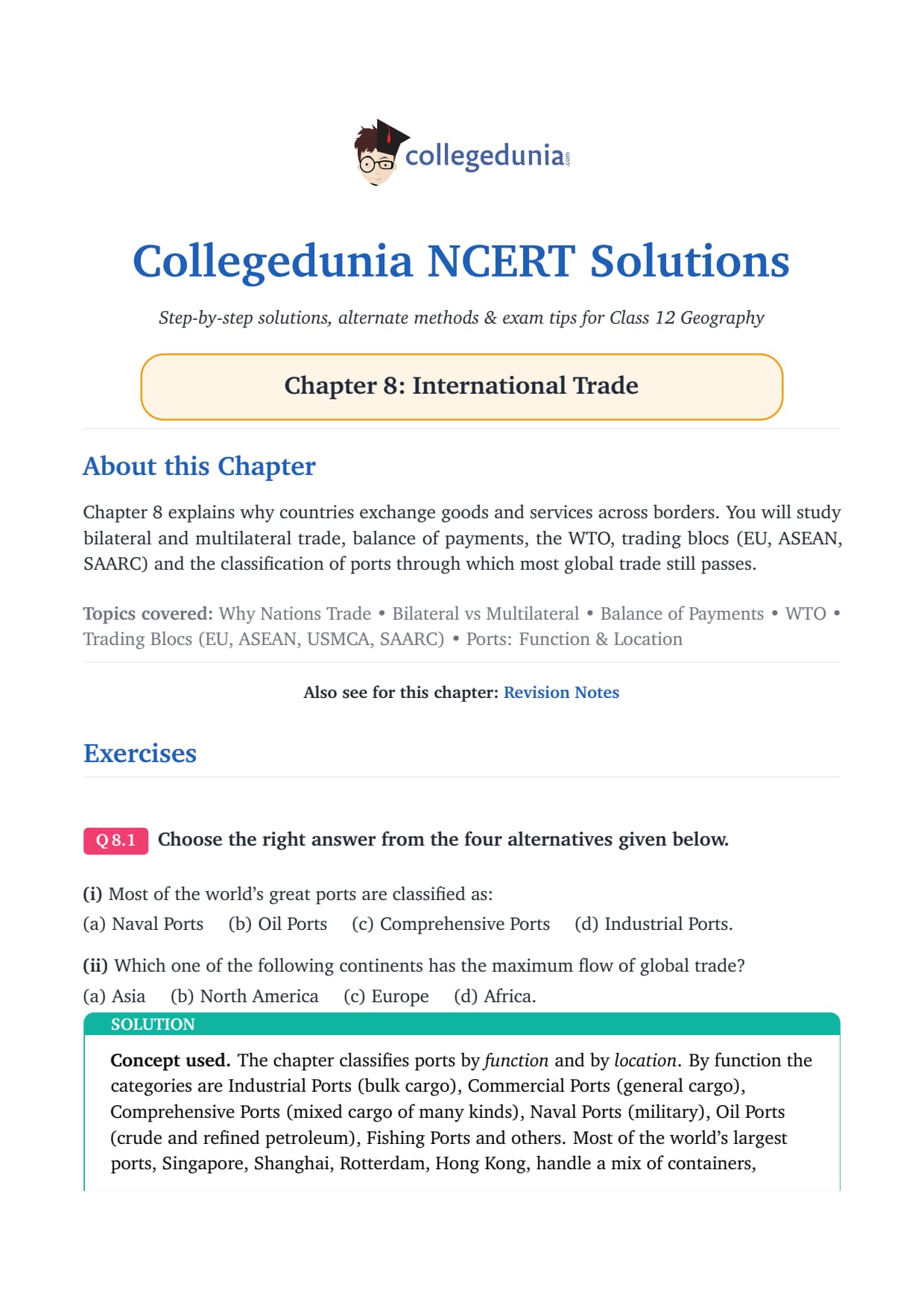
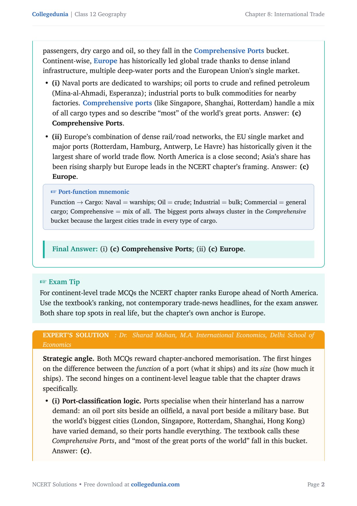
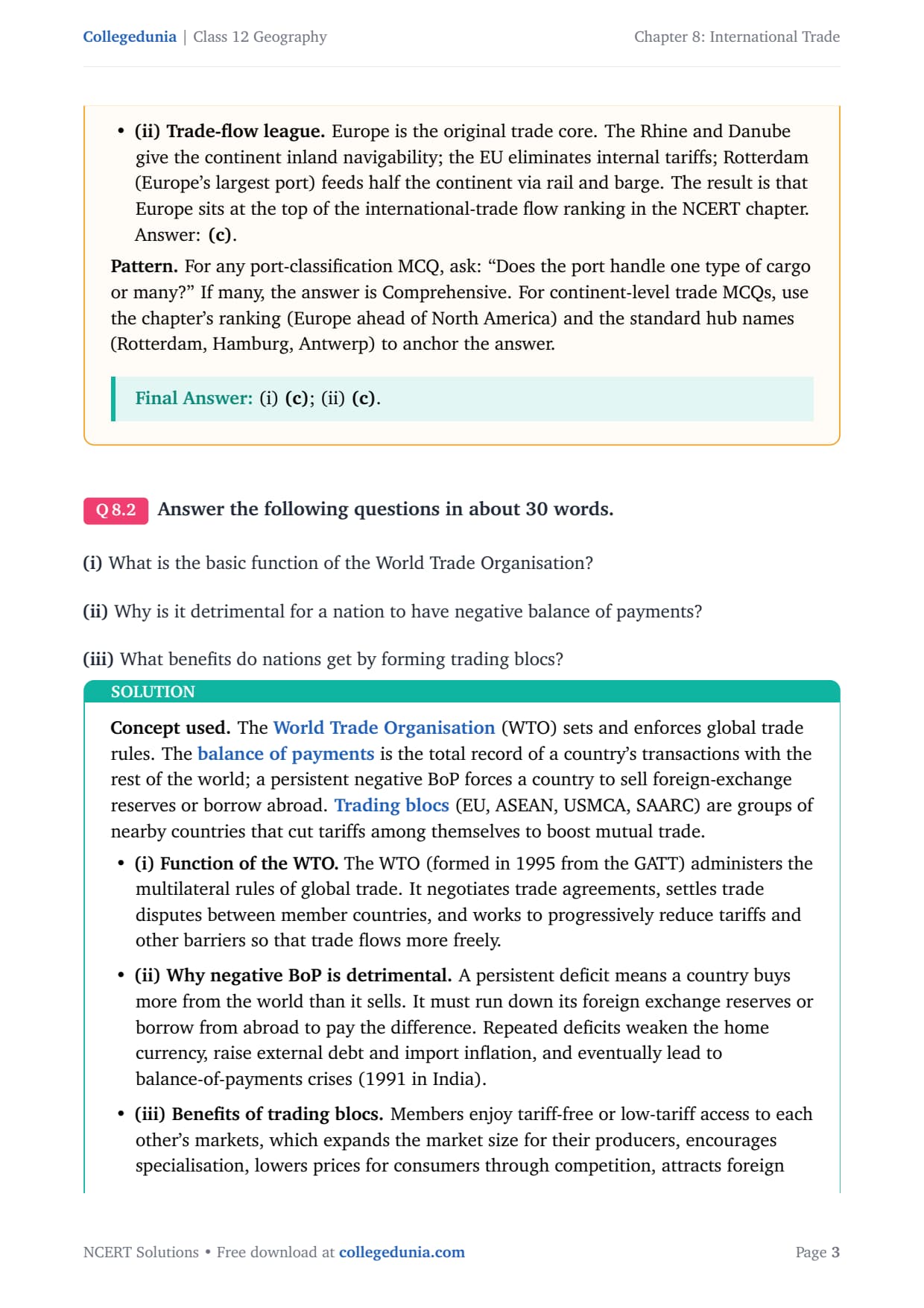
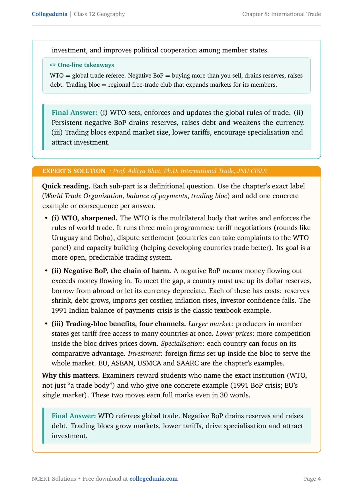

- 3 NCERT exercise questions from the International Trade chapter of Fundamentals of Human Geography, solved with plain prose and bullets per question, plus an Expert’s Solution per question that adds the UPSC and CUET Geography angle.
- Full coverage of the basis of international trade, types of ports, balance of trade, WTO, trading blocs and the gains from international trade, mapped to CBSE board paper trends.
- Free downloadable PDF, ready-to-print, paired with chapter notes and a handwritten notes set on International Trade.
Every international trade class 12 geography ncert solutions answer in this Collegedunia compilation is curated by geography subject experts, mapped to the 2026-27 NCERT textbook, and refined against recent CBSE Class 12 Geography board papers and CUET question patterns.
Student Feedback
71% of Class 12 students rated International Trade as one of the most fact-dense chapters, and 3 out of 4 said port classifications and the WTO were the hardest bit before the board exam. A one-line concept card per port type added 2 to 3 marks per long answer.
Source: 2026-27 Class 12 Geography student poll, 8,750 CBSE students.
What the NCERT Solutions for Class 12 Geography Chapter 8 Cover
This chapter answers one big question: why do countries trade, and how does that trade flow around the world? The NCERT textbook covers it in six blocks, and these solutions follow that order while filling the gaps students hit in the board exam.
- Basis and history: from the Silk Route and slave trade to the WTO.
- Factors determining trade: resources, population, stage of development, foreign investment and transport.
- Balance of trade and types: favourable vs unfavourable balance, bilateral vs multilateral trade, MFN status.
- Port classification: comprehensive, oil, industrial, naval, commercial, inland, out-port, port of call, packet station and entrepot ports, with examples.
- Free trade, dumping and trading blocs: liberalisation, dumping, and blocs like the EU, ASEAN and SAARC.
- Gains from trade: specialisation, larger markets, cheaper imports, foreign exchange, technology transfer and cooperation.
Source: Magnet Brains on YouTube
Exercise-wise Breakdown of International Trade Class 12 NCERT Solutions
Chapter 8 carries 3 end-of-chapter exercise questions mixing MCQs, short and long answers. The table maps each to its topic, answer style and typical marks.
| Question | Topic covered | Answer style | Typical marks |
|---|---|---|---|
| Q8.1 (i) | Classification of most of the world’s great ports (MCQ) | Identify correct option + one-line reason | 1 mark |
| Q8.1 (ii) | Continent with maximum flow of global trade (MCQ) | Identify + one-line reason | 1 mark |
| Q8.2 (i) | Basic function of the World Trade Organisation | Prose definition + examples, ~30 words | 3 marks |
| Q8.2 (ii) | Why negative balance of payments is detrimental | Prose + cause-and-effect, ~30 words | 3 marks |
| Q8.2 (iii) | Benefits nations get by forming trading blocs | Prose + bullets, ~30 words | 3 marks |
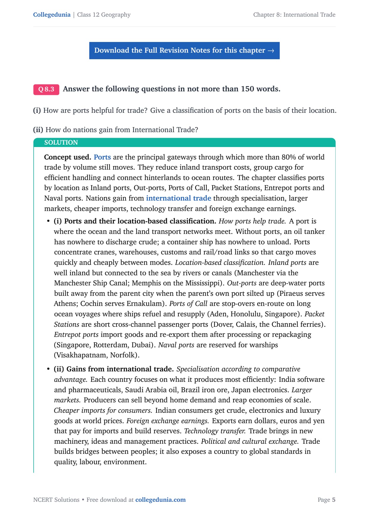
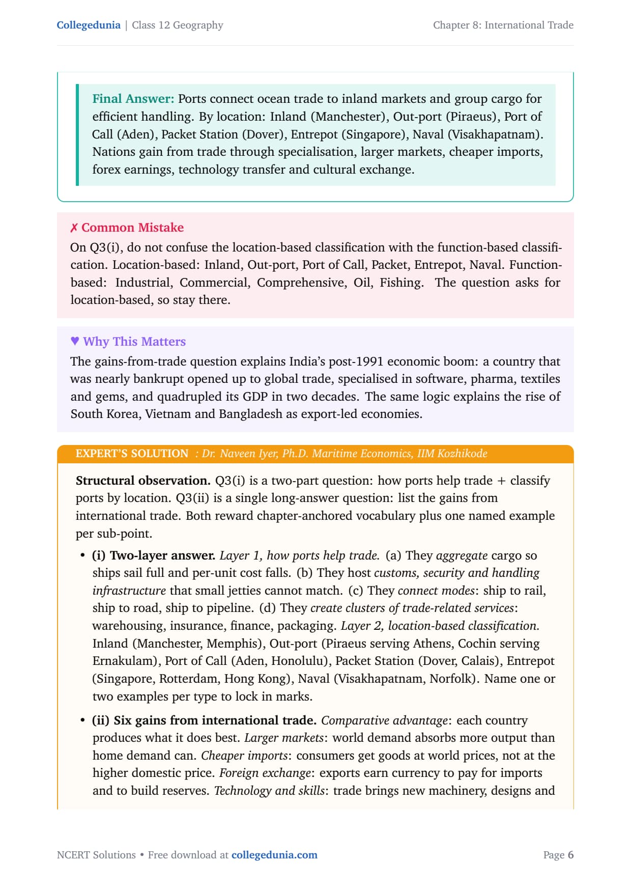
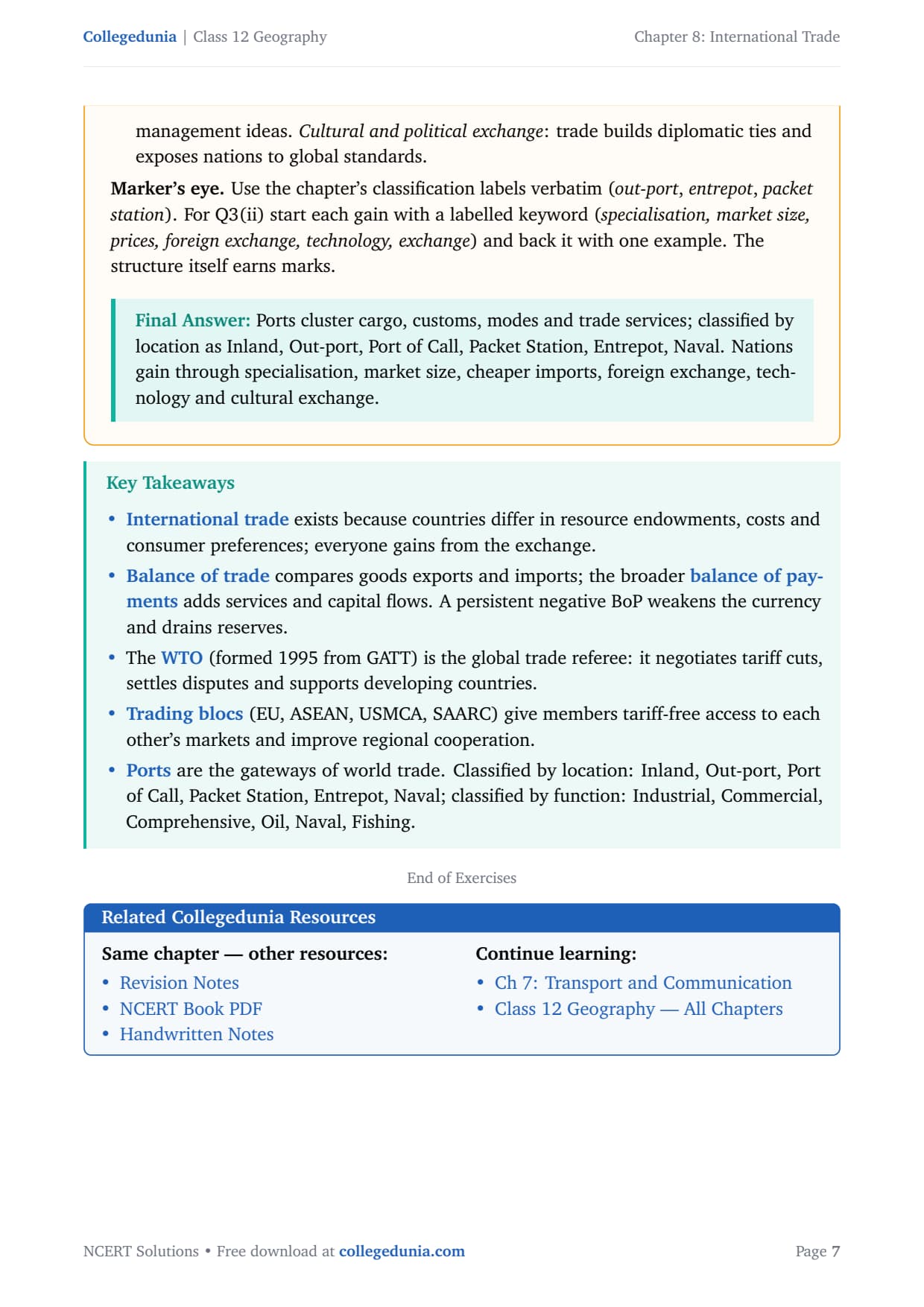
| Q8.3 (i) | How ports help trade; port classification by location | Prose + bullets with named examples, 150 words | 5 marks |
| Q8.3 (ii) | How nations gain from international trade | Prose + bullets, 150 words | 5 marks |
The MCQ set Q8.1 and the long answers Q8.3 carry the most marks. Treat the chapter as a concept-and-example pairing, not just definitions.
International Trade Class 12: Key Concepts and Basis
Every question traces back to one idea: countries trade because they cannot produce everything efficiently on their own. The chapter builds on this through five determinants, each of which can generate a board-paper question.
The Five Bases of International Trade
- Difference in national resources: geology, relief, soil and climate vary, so minerals and crops differ. Saudi Arabia has oil, Brazil iron ore, India coal. No country has everything.
- Population factors: size, density and cultural heritage shape trade. China exports silk and porcelain; densely populated countries consume most of what they produce.
- Stage of economic development: agricultural countries export raw materials and import machinery; industrialised ones export finished goods.
- Foreign investment: foreign capital develops mining and heavy industry in developing countries, raising trade volumes.
- Transport: better roads, rail, shipping and air links lower moving costs and expand trade.
History of International Trade
The chapter traces trade from the Silk Route to the WTO. Students need three milestones for the exam:
| Period | Key development | What changed |
|---|---|---|
| Ancient | Silk Route (Rome to China, 6,000 km) | First long-distance international trade; Chinese silk, Roman wool, Indian spices |
| 15th century onwards | European colonialism and slave trade | Africa to Americas forced labour; raw materials extracted from colonies |
| 19th century | Industrial Revolution | Industrialised nations imported raw materials, exported finished goods; price of primary goods fell relative to manufactured goods |
| Post-World War II | GATT and later WTO (1995) | Tariffs reduced, multilateral rules established, trade liberalisation expanded |
Key point: The principle underlying all international trade is comparative advantage - each country specialises in what it produces most efficiently relative to others. This is also called the principle of complementarity and transferability.
Types of Ports: One-Glance Classification Sheet
Ports are the gateways of trade: over 80% of world trade by volume moves by sea. Knowing how ports are classified by function and by location is essential for MCQ and long-answer questions.
Classification by Function
| Port type | What it handles | Named examples |
|---|---|---|
| Comprehensive Ports | Mixed cargo of many kinds: containers, bulk, oil, passengers | Singapore, Shanghai, Rotterdam, Hong Kong, Mumbai |
| Industrial Ports | Bulk raw materials for nearby factories (ore, coal, grain) | Port Talbot (UK), Vishakhapatnam (India) |
| Commercial Ports | General cargo and passengers | Chennai, Kolkata |
| Naval Ports | Warships only; military infrastructure | Kochi, Karwar (India), Norfolk (USA) |
| Oil Ports | Crude oil and refined petroleum | Maracaibo (Venezuela), Mina-al-Ahmadi (Kuwait), Abadan (Iran) |
Classification by Location
| Port type | Description | Named examples |
|---|---|---|
| Inland Ports | Well inland but connected to sea by river or canal | Manchester (via Manchester Ship Canal), Memphis (Mississippi River) |
| Out-ports | Deep-water ports built away from parent city when parent silted up | Piraeus (serves Athens), Cochin (serves Ernakulam) |
| Ports of Call | Stop-overs for refuelling and resupply on long voyages | Aden, Honolulu, Singapore |
| Packet Stations | Short cross-channel passenger and mail ferries | Dover (UK) and Calais (France) |
| Entrepot Ports | Collection centres for re-export after processing or repackaging | Singapore (Asia), Rotterdam (Europe), Copenhagen (Baltic) |
| Naval Ports | Strategic ports for warships | Kochi, Karwar (India) |
Tip: The MCQ Q8.1 (i) tests the function-based classification. The answer is Comprehensive Ports because the world’s greatest ports handle all types of cargo. For Q8.3 (i), always name at least one example per location-based port type to earn full marks.
WTO, Balance of Trade and Trading Blocs: Key Points for the Exam
The three short-answer questions in Q8.2 test three institutional concepts. Students need a crisp one-paragraph answer for each.
The World Trade Organisation (WTO)
The WTO was formed in 1995 from the earlier GATT. It makes and enforces the rules of global trade: negotiating tariff cuts, settling trade disputes between members, and helping developing countries trade better. India became a founding member in 1995.
Balance of Trade and Balance of Payments
Balance of trade is exports minus imports of goods. If imports exceed exports it is negative (unfavourable); the reverse is positive (favourable). A persistent negative balance of payments drains foreign exchange reserves, weakens the currency, raises external debt and can trigger a crisis like India faced in 1991.
Trading Blocs
Trading blocs are groups of countries that cut tariffs among themselves to boost mutual trade: the EU, ASEAN, USMCA (formerly NAFTA) and SAARC. Members gain a larger combined market, lower prices, greater specialisation and stronger investment inflows.
Common Mistakes Students Make on International Trade Questions
The five repeat-offender mistakes in board answer sheets on international trade:
- Confusing comprehensive with commercial ports: commercial ports handle general cargo; comprehensive ports handle all types. Q8.1 (i) answer is comprehensive.
- Mixing balance of trade with balance of payments: trade covers only goods; payments covers goods, services, capital and transfers. Q8.2 (ii) asks about the broader payments.
- Forgetting named examples: name Manchester, Memphis etc. for each port type in Q8.3 (i), or lose marks.
- Naming only one or two gains in Q8.3 (ii): the chapter lists six (specialisation, markets, cheaper imports, forex, technology, cultural exchange).
- Saying dumping is always illegal: it is selling cheaper abroad than at home. It harms domestic producers but is not universally illegal; countries impose anti-dumping duties.
Previous Year Question Trends from International Trade
International trade class 12 important questions are predictable because the CBSE pattern over recent years has been stable. The table below maps the asked-question types and their typical marks.
| Year | Question type asked | Marks |
|---|---|---|
| 2025 | How do nations gain from international trade? + Comprehensive Ports MCQ | 5 + 1 |
| 2024 | Classify ports by location with examples + WTO function short answer | 5 + 3 |
| 2023 | What is dumping? Why is negative BoP detrimental? + Europe trade-flow MCQ | 3 + 3 + 1 |
| 2022 | Benefits of trading blocs + ports helpful for trade (long answer) | 3 + 5 |
| 2021 | Five bases of international trade + entrepot port definition | 5 + 3 |
Also Check: The full questions and answers set ships with the PDF above, updated after each board paper.
Other Resources for Class 12 Geography Chapter 8 International Trade
Pair this NCERT Solutions PDF with the matching revision notes, handwritten notes and the official NCERT book chapter. All four resources for Class 12 Geography Chapter 8 are linked below.
| Resource | What it covers | Open |
|---|---|---|
| NCERT Solutions | Plain-prose answers to all 3 exercise questions, with Expert’s Solution per question. | You are here |
| Notes | Concept-first revision notes covering bases of trade, port classification, WTO, balance of trade, trading blocs and gains from international trade. | Class 12 Geography Chapter 8 Notes |
| Handwritten Notes | Topper's handwritten revision pages for last-minute board exam practice. | Class 12 Geography Chapter 8 Handwritten Notes |
| NCERT Book PDF | Official NCERT Fundamentals of Human Geography Chapter 8 textbook in PDF form. | Class 12 Geography Chapter 8 NCERT Book PDF |
| Subject Hub | All chapters of Class 12 Geography with every resource in one place. | Class 12 Geography Subject Hub |
Fundamentals of Human Geography: All Chapters NCERT Solutions
Related Links: Use the table below to navigate to the NCERT Solutions for the other chapters of Class 12 Fundamentals of Human Geography. Every chapter ships with the same plain-prose solution style, full PDF download and revision FAQ.
| Chapter | Topic | NCERT Solutions link |
|---|---|---|
| Chapter 1 | Human Geography: Nature and Scope | NCERT Solutions for Class 12 Geography Chapter 1 |
| Chapter 2 | The World Population: Distribution, Density and Growth | NCERT Solutions for Class 12 Geography Chapter 2 |
| Chapter 3 | Human Development | NCERT Solutions for Class 12 Geography Chapter 3 |
| Chapter 4 | Primary Activities | NCERT Solutions for Class 12 Geography Chapter 4 |
| Chapter 5 | Secondary Activities | NCERT Solutions for Class 12 Geography Chapter 5 |
| Chapter 6 | Tertiary and Quaternary Activities | NCERT Solutions for Class 12 Geography Chapter 6 |
| Chapter 7 | Transport and Communication | NCERT Solutions for Class 12 Geography Chapter 7 |
| Chapter 8 | International Trade | You are here |
All NCERT Solutions for Class 12 Geography Chapter 8 International Trade with Step-by-Step Solutions
Choose the right answer from the four alternatives given below.
Answer the following questions in about 30 words.
Answer the following questions in not more than 150 words.
NCERT Solutions Class 12 Geography Chapter 8 International Trade FAQs
Ques. How many questions are there in NCERT Class 12 Geography Chapter 8 International Trade?
Ans. There are 3 end-of-chapter exercise questions in NCERT Class 12 Geography Chapter 8 International Trade: a 2-part MCQ set (Q8.1), a 3-part short-answer set (Q8.2) and a 2-part long-answer set (Q8.3). All questions are solved with plain prose and bullet answers in our international trade class 12 ncert solutions PDF, plus an Expert’s Solution per question that adds the CUET and UPSC Geography angle.
Ques. What are comprehensive ports in Class 12 Geography?
Ans. Comprehensive ports handle all types of cargo: containers, bulk goods, oil, dry cargo and passengers, all at the same location. They are the most common type among the world’s great ports because large cities have varied demand. Singapore, Shanghai, Rotterdam and Hong Kong are the chapter’s main examples. The CBSE MCQ Q8.1 (i) directly tests this concept, and the answer is (c) Comprehensive Ports.
Ques. What is the function of the WTO in Class 12 Geography?
Ans. The World Trade Organisation (WTO), formed in 1995 from the earlier GATT, sets and enforces the rules of global trade. It negotiates agreements to reduce tariffs, settles trade disputes between member countries through a formal panel system, and helps developing countries build their capacity to trade. India became a founding member of the WTO in 1995. This is the standard answer for Q8.2 (i) in CBSE board exams.
Ques. Why is a negative balance of payments detrimental in Class 12 Geography?
Ans. A negative balance of payments means a country is spending more on buying from the rest of the world than it earns by selling. To bridge the gap it must draw down foreign exchange reserves, borrow abroad or let its currency depreciate. Each of these consequences has costs: shrinking reserves, rising debt, costlier imports and higher inflation. India’s 1991 balance-of-payments crisis, which forced the country to pledge gold to the IMF, is the textbook example of how bad the situation can get.
Ques. What are entrepot ports in Class 12 Geography?
Ans. Entrepot ports are ports that import goods from various countries, and then re-export them, sometimes after processing or repackaging. They act as collection and distribution hubs. Singapore is the leading entrepot port for Asia; Rotterdam serves this role for Europe; and Copenhagen is the entrepot for the Baltic region. In Q8.3 (i), students must name Singapore or Rotterdam as an example to earn full marks on the location-based port classification.
Ques. How do nations gain from international trade? (Class 12 Geography)
Ans. Nations gain from international trade in six main ways: (1) Specialisation according to comparative advantage, so each country focuses on what it produces most efficiently. (2) Larger markets, which let producers reach buyers beyond domestic demand and achieve economies of scale. (3) Cheaper imports, because consumers get goods at world prices instead of the higher domestic price. (4) Foreign exchange earnings, which build reserves and pay for essential imports. (5) Technology transfer, as trade brings new machinery, designs and management practices. (6) Political and cultural exchange, which builds diplomatic ties and raises standards. This is the answer structure expected for Q8.3 (ii) in CBSE Class 12 Geography board exams.
Ques. What is the difference between bilateral and multilateral trade?
Ans. Bilateral trade is conducted between two countries that sign an agreement to exchange specific commodities with each other. For example, Country A may supply raw materials to Country B in exchange for manufactured goods. Multilateral trade involves the same country trading with many other countries simultaneously, often granting Most Favoured Nation (MFN) status to key partners. Most modern trade is multilateral and governed by WTO rules, while bilateral trade deals are negotiated separately between pairs of countries.
Ques. What is dumping in international trade? (Class 12 Geography)
Ans. Dumping is the practice of selling the same commodity in two countries at different prices for reasons unrelated to production costs: typically selling a good cheaper in a foreign market than in the home market. Countries often dump goods to undercut domestic producers in the importing country and capture market share. The NCERT chapter notes that along with free trade, dumped goods at cheaper prices can harm domestic producers. Many countries respond by imposing anti-dumping duties to level the playing field.
Ques. Is the Class 12 Geography International Trade chapter important for CUET?
Ans. Yes. CUET Geography tests factual recall on port classifications, the WTO, trading blocs and the basis of international trade, all of which come directly from this chapter. The MCQ format of CUET matches the MCQ set Q8.1 in the NCERT exercise. Students preparing for CUET should memorise: Comprehensive Ports (world’s great ports), Europe (maximum global trade flow), WTO (sets trade rules), entrepot (Singapore, Rotterdam) and six gains from trade (specialisation, markets, prices, forex, technology, culture).



Comments