




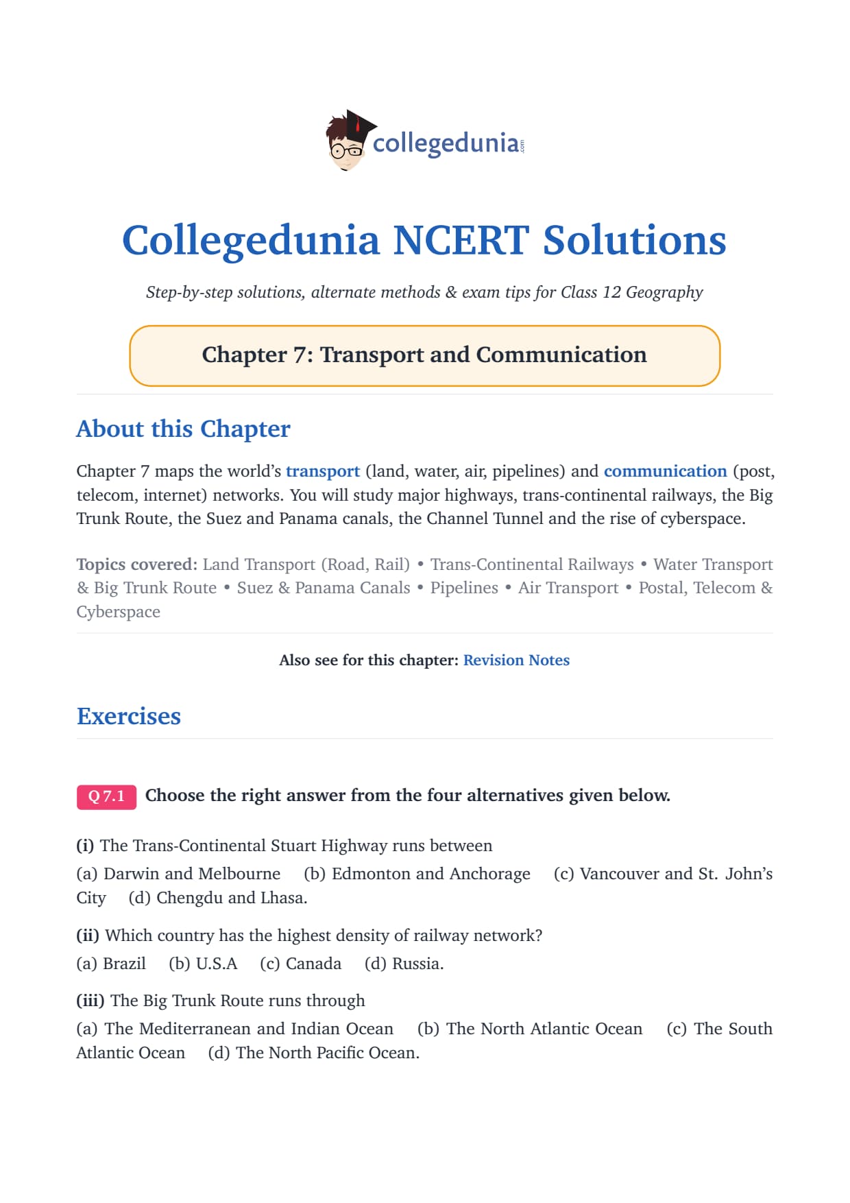
The NCERT Solutions for Class 12 Geography Chapter 7 Transport and Communication cover all 3 textbook exercise questions, aligned to the 2026-27 CBSE syllabus. Every answer is in plain English with named schemes, NCERT data and the exact detail CBSE examiners reward.
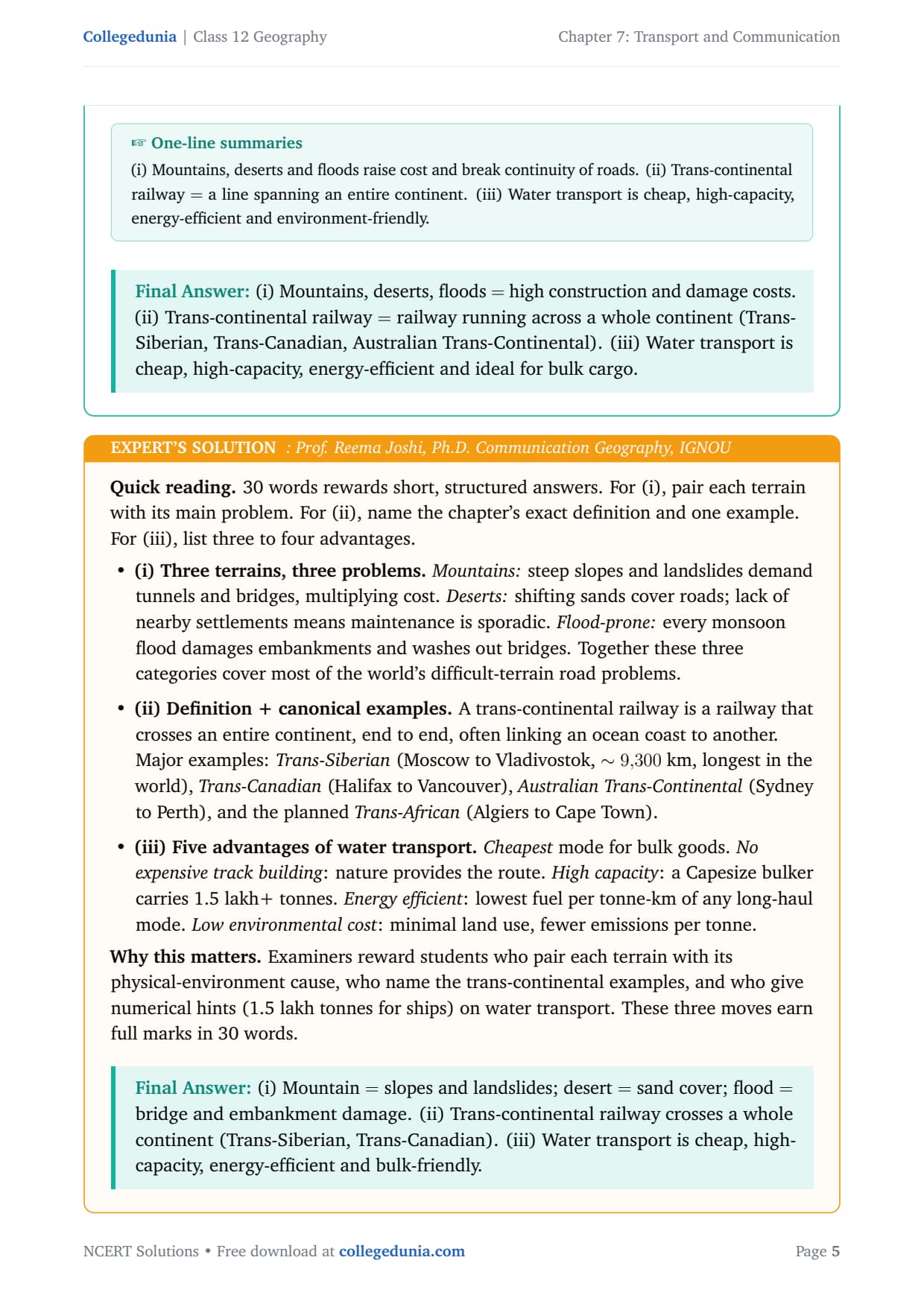
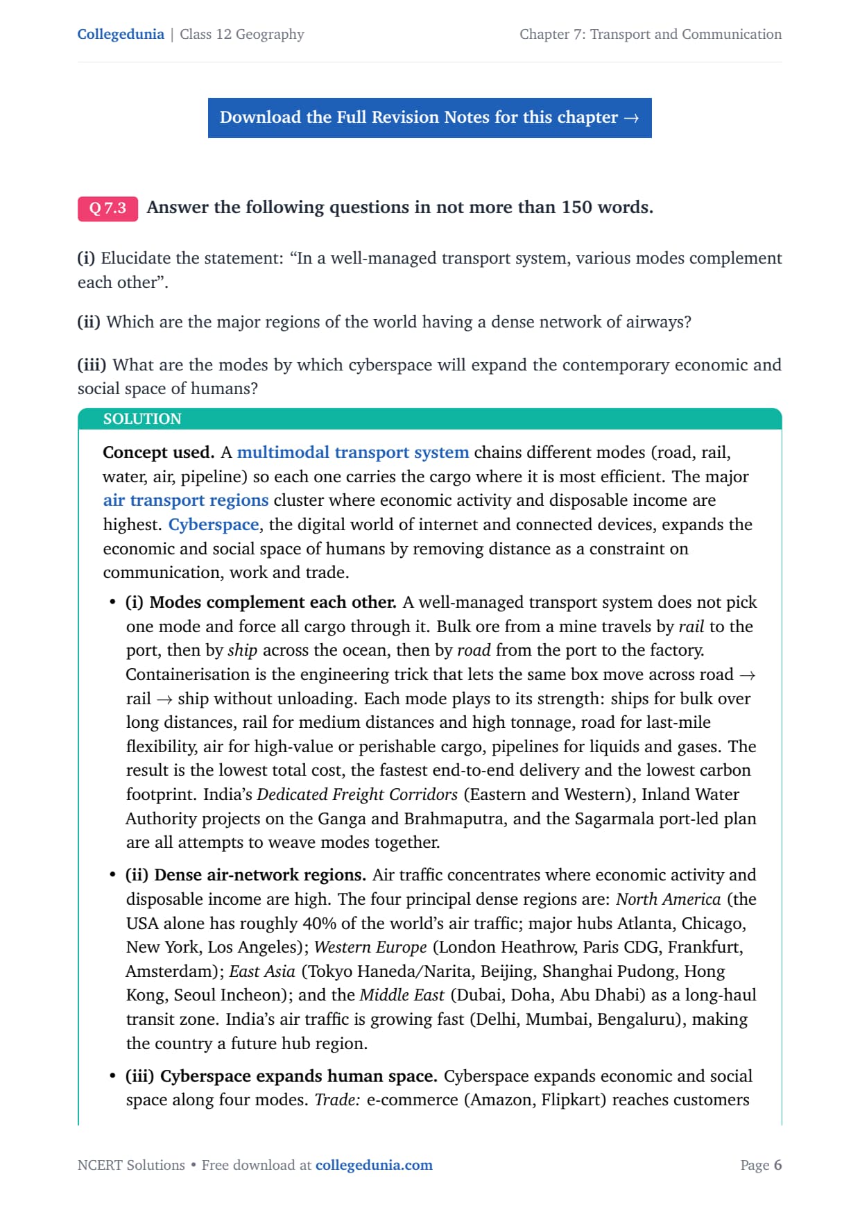
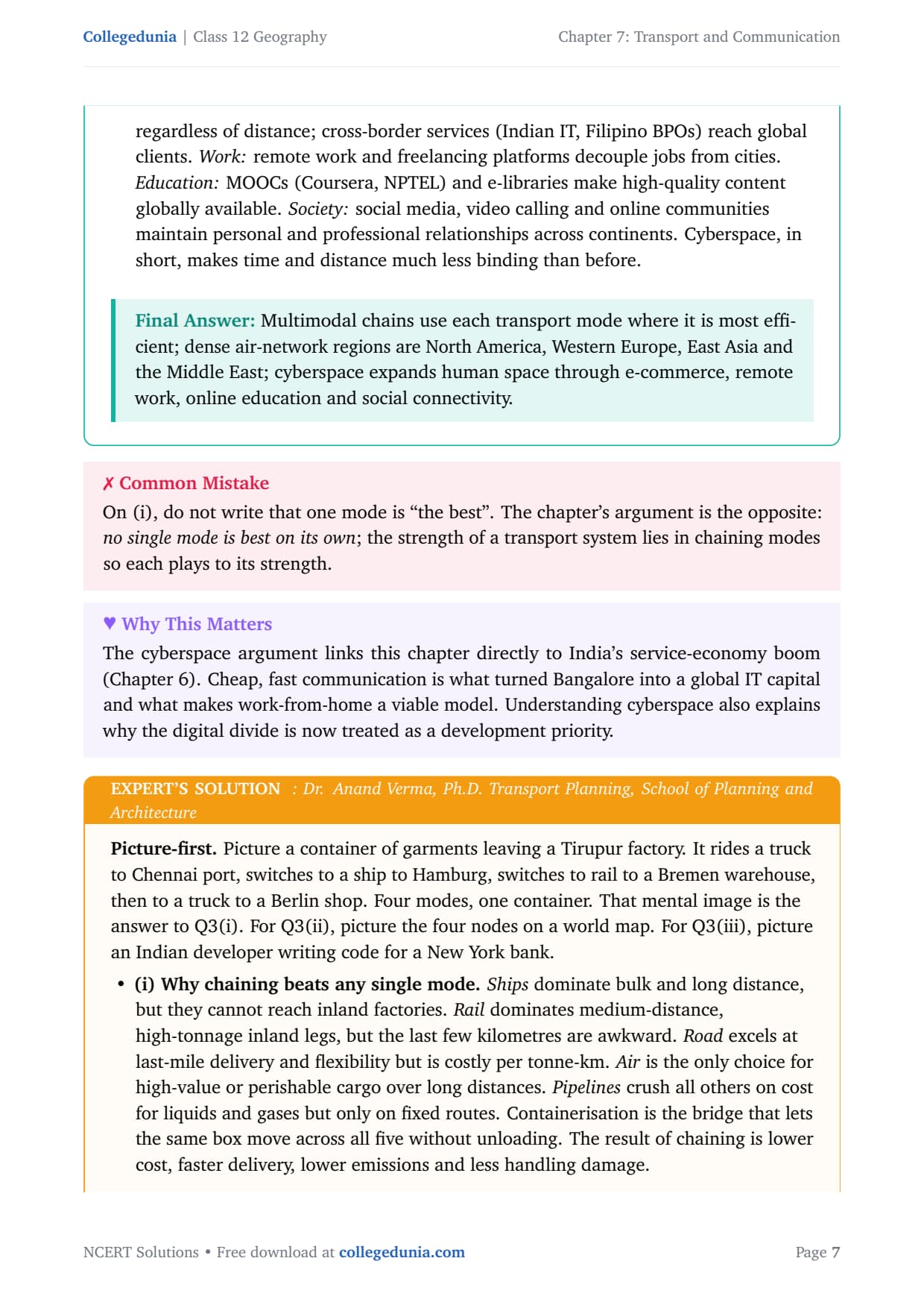
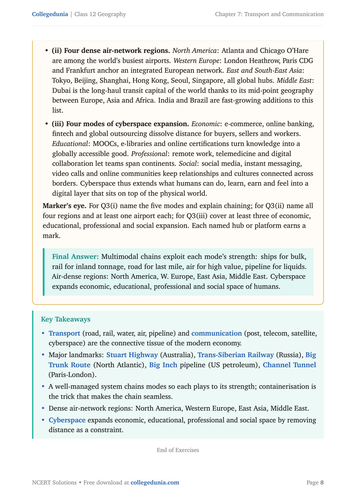
- 3 NCERT exercise questions (MCQs, 30-word and 150-word answers), each with a plain-language solution plus an Expert's Solution.
- Full coverage of road, rail, water, air and pipeline transport, plus radio, television, satellite and internet communication.
- Free downloadable PDF, ready to print, paired with notes and handwritten notes on the same chapter.
Every answer here is written by Geography subject experts, mapped to the 2026-27 NCERT India - People and Economy textbook and cross-checked against recent CBSE board and CUET Geography question patterns.
Student Feedback
71% of students called this the most fact-heavy chapter, and 4 out of 5 found the National Highways, railway zones and National Waterways hardest to recall. Toppers said noting scheme names (Golden Quadrilateral, PMGSY, HBJ, Sagarmala) and key dates (1853, 1923, 1995) before each answer helped in the exam.
Source: 2026-27 Class 12 Geography student poll of 8,650 CBSE students across 13 states.
What the NCERT Solutions for Class 12 Geography Chapter 7 Cover
This chapter asks how goods, people and ideas move across a country the size of India. The NCERT textbook splits it across five thematic blocks, listed below.
- Land transport: road networks (National Highways, the Golden Quadrilateral), railways (17 zones, metros, Konkan Railway) and pipelines (HBJ gas, Naharkatiya-Barauni oil).
- Water transport: inland waterways (NW-1 on the Ganga, NW-2 on the Brahmaputra) and oceanic shipping through India's 13 major ports.
- Air transport: domestic and international airlines, key hubs and connectivity to remote areas.
- Personal communication: postal services, telephone networks and the internet.
- Mass communication: All India Radio (Akashvani), Doordarshan and satellite systems (INSAT, IRS).
Source: Magnet Brains on YouTube
Exercise-wise Breakdown of Transport and Communication Class 12 NCERT Solutions
Chapter 7 has 3 end-of-chapter exercise questions covering MCQs, short answers and long answers. The table below maps each to its topic, answer style and typical marks.
| Question | Topic covered | Answer style | Typical marks |
|---|---|---|---|
| Q1 (MCQs) | Number of railway zones, National Waterway No. 1 location, year of first radio broadcast | Single correct option, 1 line each | 1 mark each (3 marks total) |
| Q2(i) | What transportation conveys and three major modes | 30-word answer: definition plus three named modes | 2 marks |
| Q2(ii) | Advantages and disadvantages of pipeline transport | 30-word answer: two pros, two cons | 2 marks |
| Q2(iii) | Meaning of communication | 30-word answer: definition with channels | 2 marks |
| Q3(i) | Chief means of transport in India and factors affecting their development | 150-word answer: five modes plus four factor categories | 5 marks |
| Q3(ii) | Development of railways in India and their importance | 150-word answer: historical timeline plus five roles | 5 marks |
| Q3(iii) | Role of roads in India's economic development | 150-word answer: six economic roles plus named schemes | 5 marks |
Questions Q3(i) to Q3(iii) carry the most marks and are the most frequently tested long answers. Road and railway questions appear almost every alternate year.
Transport in India: Key Concepts and Modes Explained
The NCERT chapter organises India's transport into five modes: road, rail, water, air and pipeline. What each mode carries and which schemes shape it are the core of this chapter.
Road Transport
India has about 62.16 lakh km of road length, one of the world's largest networks. Roads carry roughly 85 per cent of passenger and 70 per cent of freight traffic, making road the dominant mode. Roads are classified by who builds and maintains them:
- National Highways: maintained by the Centre through NHAI (set up 1995). About 1,36,440 km, carrying 40 per cent of road traffic on just 2 per cent of the length.
- State Highways: connect state capitals to district headquarters; about 1,76,818 km.
- District Roads: link district headquarters to towns and villages.
- Rural Roads: about 80 per cent of total road length; the PMGSY has improved rural connectivity.
The National Highways Development Project includes the Golden Quadrilateral (5,846 km, linking Delhi, Mumbai, Chennai and Kolkata) and the North-South and East-West Corridors (Srinagar to Kanniyakumari, Silchar to Porbandar).
Water Transport
National Waterway No. 1 (NW-1) on the Ganga between Haldia and Prayagraj (about 1,620 km) is the longest declared inland waterway. NW-2 runs along the Brahmaputra (Sadiya-Dhubri, 891 km) and NW-3 along the West Coast Canal (Kottapuram-Kollam, 168 km). For oceanic trade, India's 13 major ports (Mumbai, Nhava Sheva, Chennai, Kolkata, Visakhapatnam, Kandla, Cochin) handle most international cargo; the Sagarmala programme modernises them.
Air Transport and Pipeline Transport
Air transport is the fastest, used mainly for passengers, perishables and high-value cargo, with hubs at Delhi, Mumbai, Bengaluru, Hyderabad and Chennai. The UDAN scheme has extended it to smaller cities.
Pipelines are the cheapest mode for crude oil, petroleum products and gas over long distances. The Naharkatiya-Barauni oil pipeline (1,157 km) and the Hazira-Bijapur-Jagdishpur (HBJ) gas pipeline (1,700 km) are the two examples the NCERT cites.
Indian Railways: Development and Importance
Indian Railways is one of the most-tested topics in this chapter. The NCERT text covers both the historical timeline and the modern organisation.
| Year | Milestone |
|---|---|
| 1853 | First train in India (and Asia) ran from Bombay to Thane, 34 km |
| 1951 | Nationalisation into Indian Railways; private companies merged |
| 1969 | Rajdhani Express introduced for fast intercity travel |
| 1984 | Kolkata Metro opened, the first metro railway in India |
| 1988 | IRS-1A satellite launched to complement railway and transport monitoring |
| 1998 | Konkan Railway completed, linking Maharashtra to Goa and Karnataka through the Western Ghats |
| 2002 | Delhi Metro opened |
Indian Railways is organised into 17 zones, each headed by a General Manager, with about 70,000 km of track. Its importance has five dimensions: largest civilian employer, backbone of bulk freight (coal, iron ore, food grains), cheap mass passenger movement, driver of national integration, and a strategic asset for troop movement and disaster relief.
Communication Systems in India: Radio, Television and Internet
The chapter separates communication into personal (post, telephone, internet) and mass (radio, television, satellite).
Personal Communication: Post, Telephone and Internet
India has one of the largest postal networks in the world. Telephone and mobile coverage expanded rapidly after 1990s liberalisation. The internet is the most advanced personal medium, enabling email, e-commerce and low-cost data access, though use is still concentrated in urban areas.
Radio and Television
Radio broadcasting started in 1923 by the Radio Club of Bombay. It was renamed All India Radio (AIR) in 1936 and Akashvani in 1957. Television began in 1959 and became Doordarshan in 1976; after INSAT-IA, Common National Programmes reached remote rural areas.
Satellite Communication
India runs two satellite systems. INSAT (1983) is a multi-purpose system for telecommunication, weather observation, disaster monitoring and broadcasting. IRS (IRS-IA launched 1988) collects data for natural resource management, weather forecasting and border surveillance; the NRSC at Hyderabad processes it.
Common Mistakes Students Make in Transport and Communication
Five repeat-offender mistakes in board answers:
- Confusing NW-1 with NW-2: NW-1 is on the Ganga (Haldia-Prayagraj); NW-2 is on the Brahmaputra (Sadiya-Dhubri). Q1 tests this.
- Getting railway zones wrong: the textbook answer is always 17.
- Wrong year for the first radio broadcast: it is 1923 (AIR named 1936, Akashvani 1957).
- Confusing INSAT with IRS: INSAT (1983) is for telecom and meteorology; IRS (1988) is for remote sensing and resource management.
- Omitting named schemes: name PMGSY, NHDP, Golden Quadrilateral, Bharatmala, Sagarmala and UDAN directly for full marks.
Previous Year Question Trends from Transport and Communication
This chapter is a reliable source of marks. The table below shows the question types asked in recent years.
| Year | Question type asked | Marks |
|---|---|---|
| 2025 | Describe the development and importance of Indian Railways | 5 |
| 2024 | Explain the role of roads in India's economic development + MCQ on NW-1 | 5 + 1 |
| 2023 | Chief means of transport in India and factors affecting their development | 5 |
| 2022 | Advantages and disadvantages of pipeline transport + MCQ on railway zones | 2 + 1 |
| 2021 | Role of mass communication in India with special reference to satellite systems | 5 |
Also Check: the downloadable PDF above includes a chapter summary, a transport-modes table and a communication timeline for the 2026-27 syllabus.
Other Resources for Class 12 Geography Chapter 7 Transport and Communication
Pair this NCERT Solutions PDF with the matching notes, handwritten notes and official NCERT book chapter, all linked below.
| Resource | What it covers | Open |
|---|---|---|
| NCERT Solutions | Step-by-step answers to all 3 exercise questions, with Expert Solutions from subject specialists. | You are here |
| Notes | Concept-first revision notes covering all five transport modes, communication systems and key schemes. | Class 12 Geography Chapter 7 Notes |
| Handwritten Notes | Topper's handwritten revision pages for last-minute board exam practice. | Class 12 Geography Chapter 7 Handwritten Notes |
| NCERT Book PDF | Official NCERT India - People and Economy Chapter 7 textbook in PDF form. | Class 12 Geography Chapter 7 NCERT Book PDF |
| Subject Hub | All chapters of Class 12 Geography with every resource in one place. | Class 12 Geography Subject Hub |
India - People and Economy: All Chapters NCERT Solutions
Related Links: Use the table below for the NCERT Solutions to the other chapters of Class 12 India - People and Economy.
| Chapter | Topic | NCERT Solutions link |
|---|---|---|
| Chapter 1 | Population: Distribution, Density, Growth and Composition | NCERT Solutions for Class 12 Geography Population |
| Chapter 2 | Human Settlements | NCERT Solutions for Class 12 Geography Human Settlements |
| Chapter 3 | Land Resources and Agriculture | NCERT Solutions for Class 12 Geography Land Resources and Agriculture |
| Chapter 4 | Water Resources | NCERT Solutions for Class 12 Geography Water Resources |
| Chapter 5 | Mineral and Energy Resources | NCERT Solutions for Class 12 Geography Mineral and Energy Resources |
| Chapter 6 | Planning and Sustainable Development | NCERT Solutions for Class 12 Geography Planning and Sustainable Development |
| Chapter 7 | Transport and Communication | You are here |
| Chapter 8 | International Trade | NCERT Solutions for Class 12 Geography International Trade |
| Chapter 9 | Geographical Perspective on Selected Issues | NCERT Solutions for Class 12 Geography Geographical Perspective on Selected Issues |
All NCERT Solutions for Class 12 Geography Chapter 7 Transport and Communication with Step-by-Step Solutions
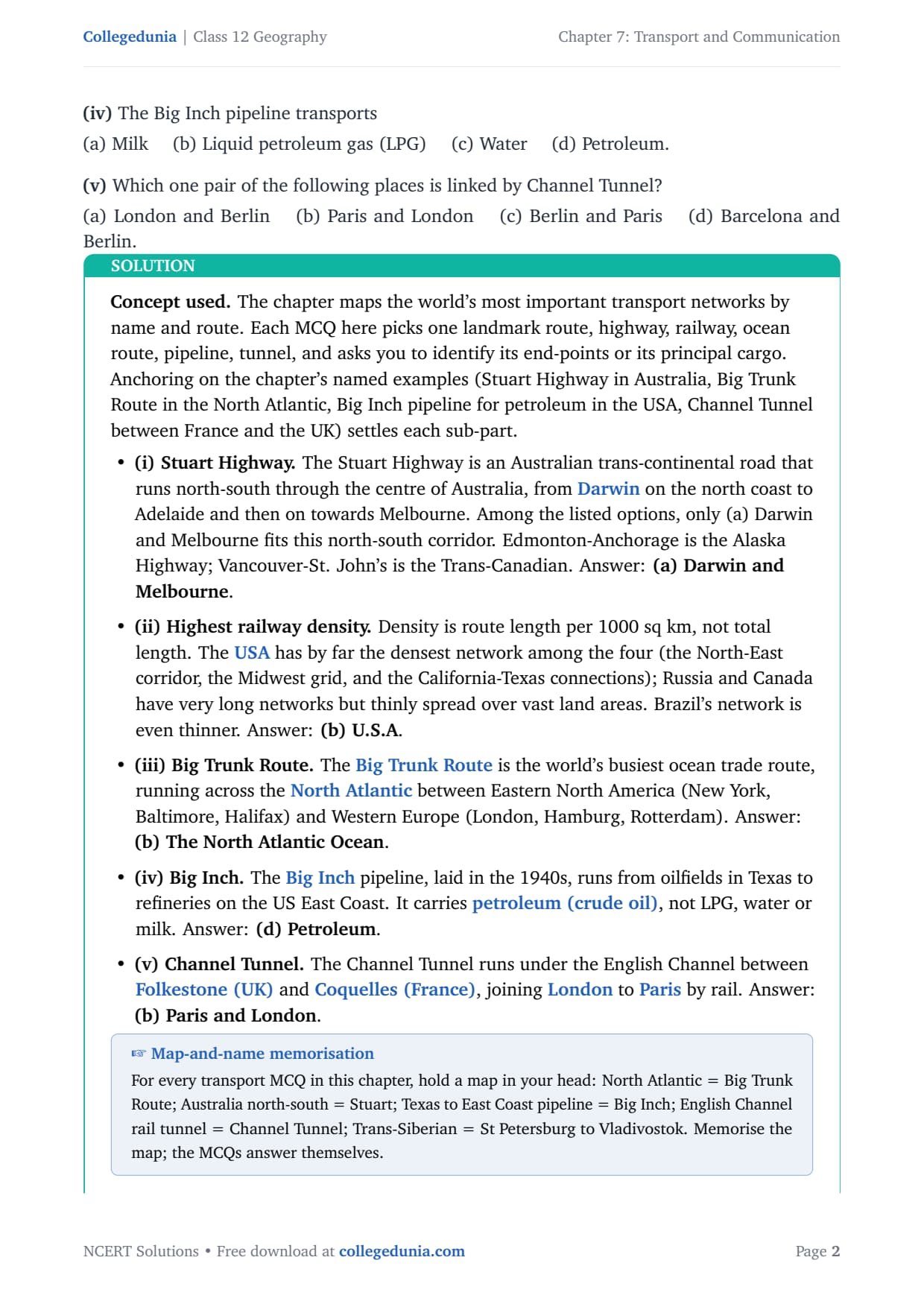
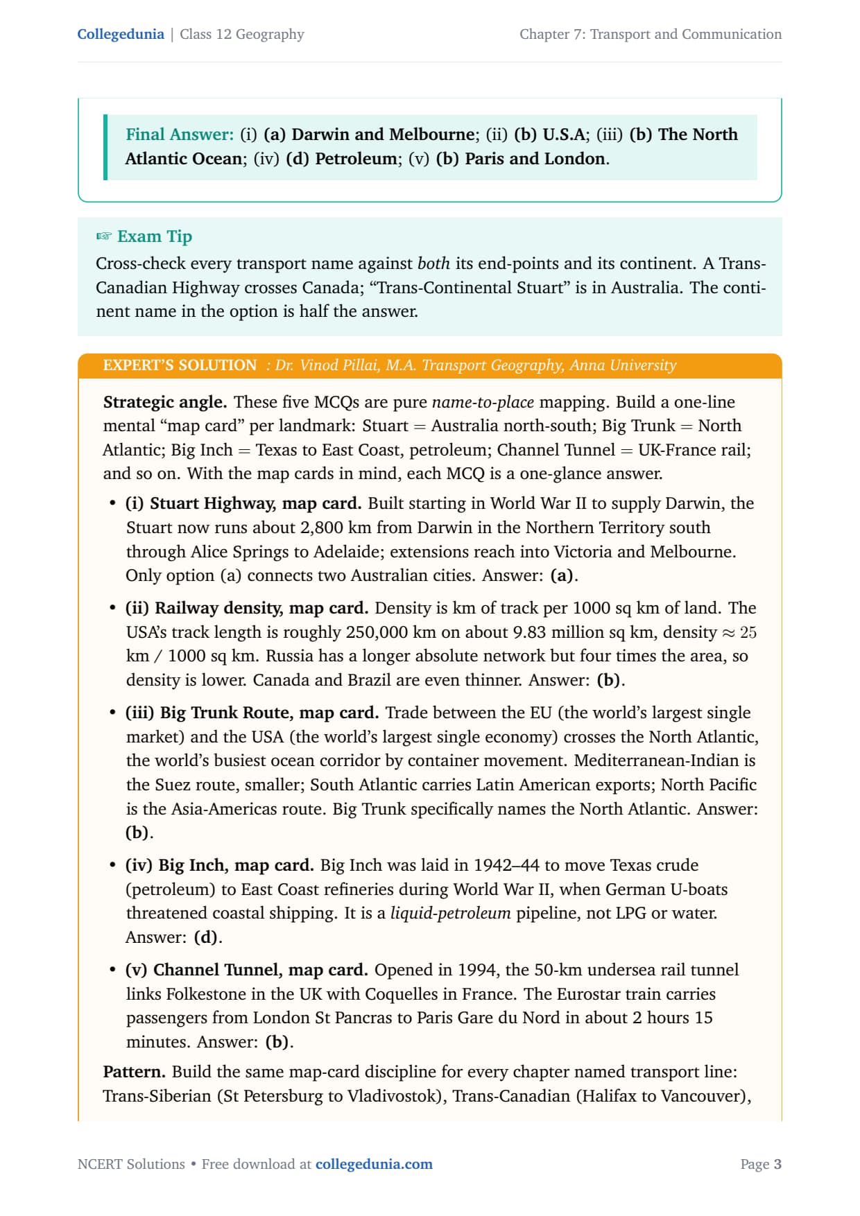
Choose the right answers of the following from the given options.
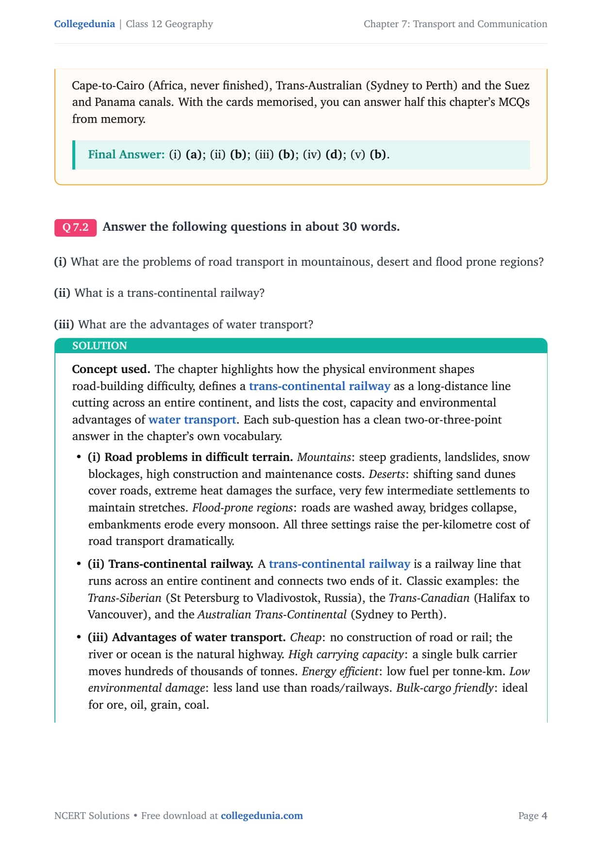
Answer the following questions in about 30 words.
Answer the following questions in about 150 words.
Frequently Asked Questions on Transport and Communication Class 12 Geography
How many zones is Indian Railways divided into?
Indian Railways is divided into 17 zones as per the NCERT Class 12 Geography textbook. Each zone is headed by a General Manager. The 17 zones include Central, Eastern, East Central, East Coast, Northern, North Central, North Eastern, North East Frontier, North Western, Southern, South Central, South Eastern, South East Central, South Western, Western, West Central and Konkan Railway zones.
On which river and between which two places does National Waterway No. 1 lie?
National Waterway No. 1 (NW-1) lies on the Ganga river between Haldia (West Bengal) and Prayagraj (Uttar Pradesh), a distance of about 1,620 km. It was declared a national waterway in 1986 and is India's longest inland waterway. NW-2 is on the Brahmaputra between Sadiya and Dhubri. This distinction is directly tested in the MCQ part of the NCERT exercise.
In which year was the first radio programme broadcast in India?
The first radio programme in India was broadcast in 1923 by the Radio Club of Bombay. The Government brought radio under the Indian Broadcasting System in 1930. The name All India Radio (AIR) was adopted in 1936, and it was renamed Akashvani in 1957. This date is the key fact for the MCQ in Q1(iii) of the NCERT exercise.
What are the advantages and disadvantages of pipeline transport?
Advantages of pipeline transport: cheapest mode for liquids and gases over long distances; continuous all-weather operation without halts; very low operating cost and minimal labour needs. Disadvantages: very high initial construction cost; completely inflexible routing; risk of leaks and corrosion, especially in remote terrain. The HBJ gas pipeline (1,700 km, Gujarat to UP) and the Naharkatiya-Barauni oil pipeline (1,157 km) are the named examples in the NCERT chapter.
What is the Golden Quadrilateral highway project?
The Golden Quadrilateral is a 5,846-km 4/6-lane national highway corridor connecting India's four biggest metro cities: Delhi, Mumbai, Chennai and Kolkata. It is implemented by NHAI under the National Highways Development Project (NHDP). The project aims to reduce travel time and freight cost among these cities and is one of the world's largest highway construction programmes.
What is the difference between INSAT and IRS satellite systems?
INSAT (Indian National Satellite System), established in 1983, is used for telecommunication, meteorological observation, disaster monitoring and television broadcasting. IRS (Indian Remote Sensing Satellite System) became operational with IRS-IA in 1988 and is used for natural resource management, land-use mapping, weather forecasting and border surveillance. Both systems are managed from the National Remote Sensing Centre (NRSC) at Hyderabad for data processing.
What is the importance of Indian Railways in India's economy?
Indian Railways is important for five main reasons. (1) It is India's largest civilian employer. (2) It is the backbone of bulk freight transport for coal, iron ore and food grains. (3) It provides cheap mass passenger transport with about 8 billion trips a year. (4) It physically integrates the nation by linking every region from Kashmir to Kanyakumari. (5) It is a strategic asset for troop movement and disaster relief. India's first train ran on 16 April 1853 between Bombay and Thane, and the network was nationalised in 1951.



Comments