




These Class 12 Geography Chapter 7 Transport and Communication handwritten notes are a topper's genuine handwritten revision pages, written by hand for quick last-mile revision in line with the 2026-27 CBSE syllabus. They cover all four major modes of transport (road, rail, water, air), pipelines, and both personal and mass communication networks. Use the PDF in the 24 hours before the board paper.
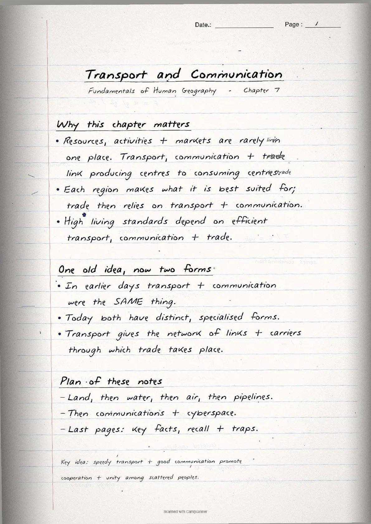
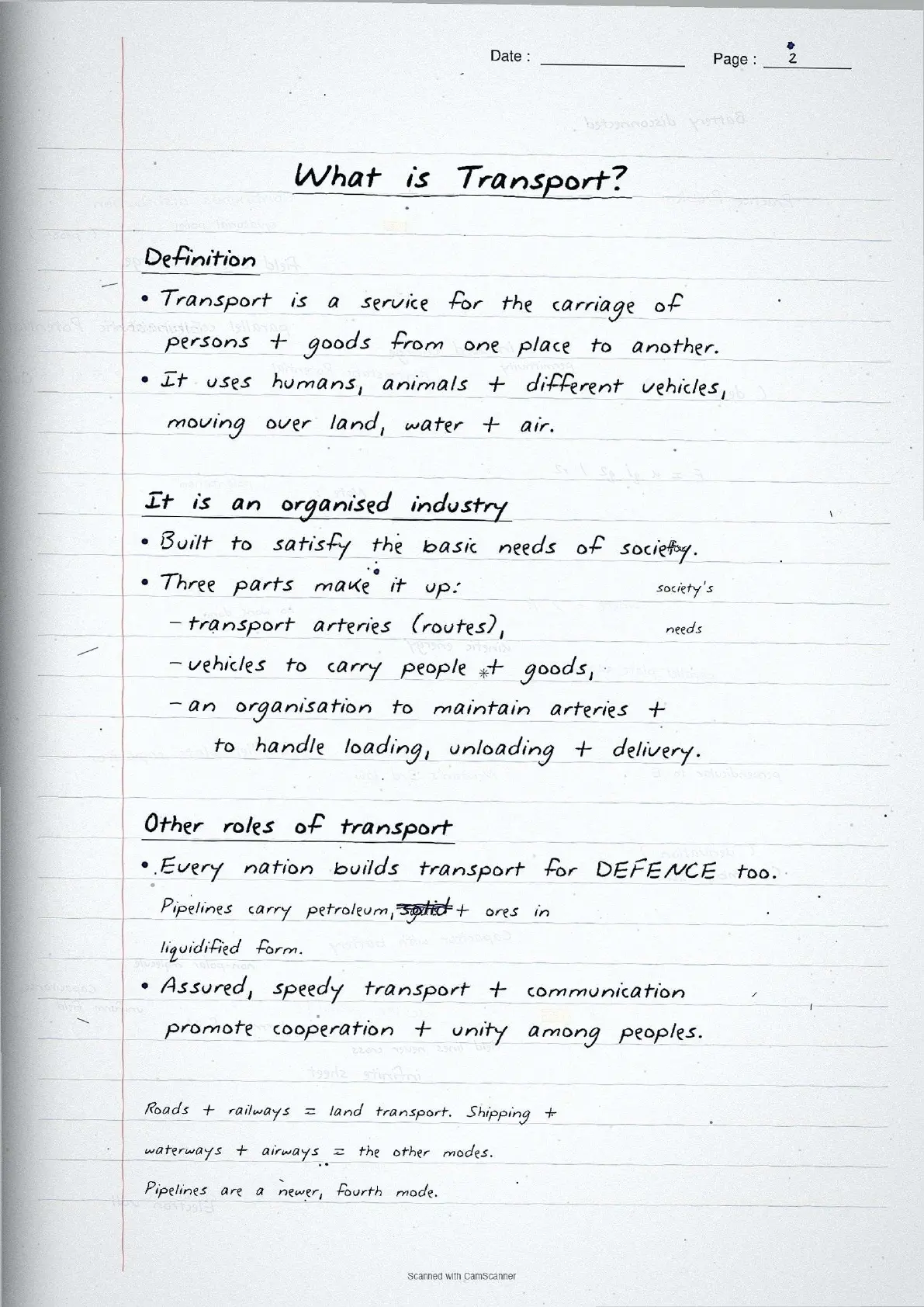
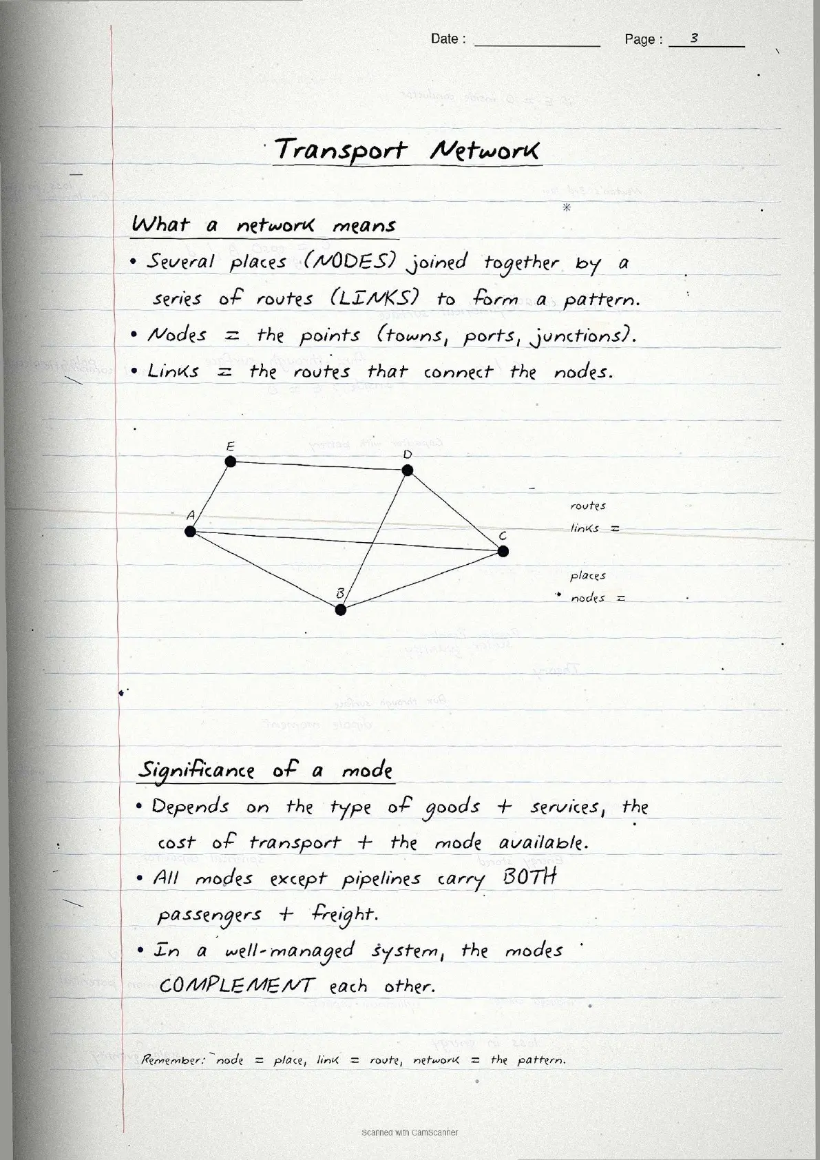
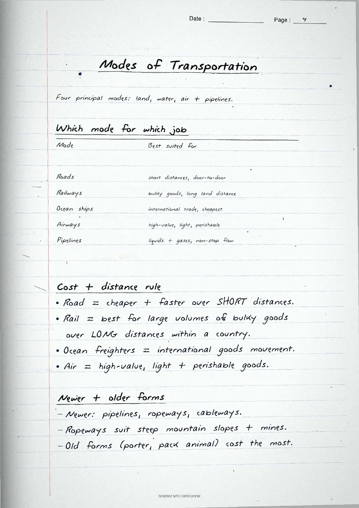
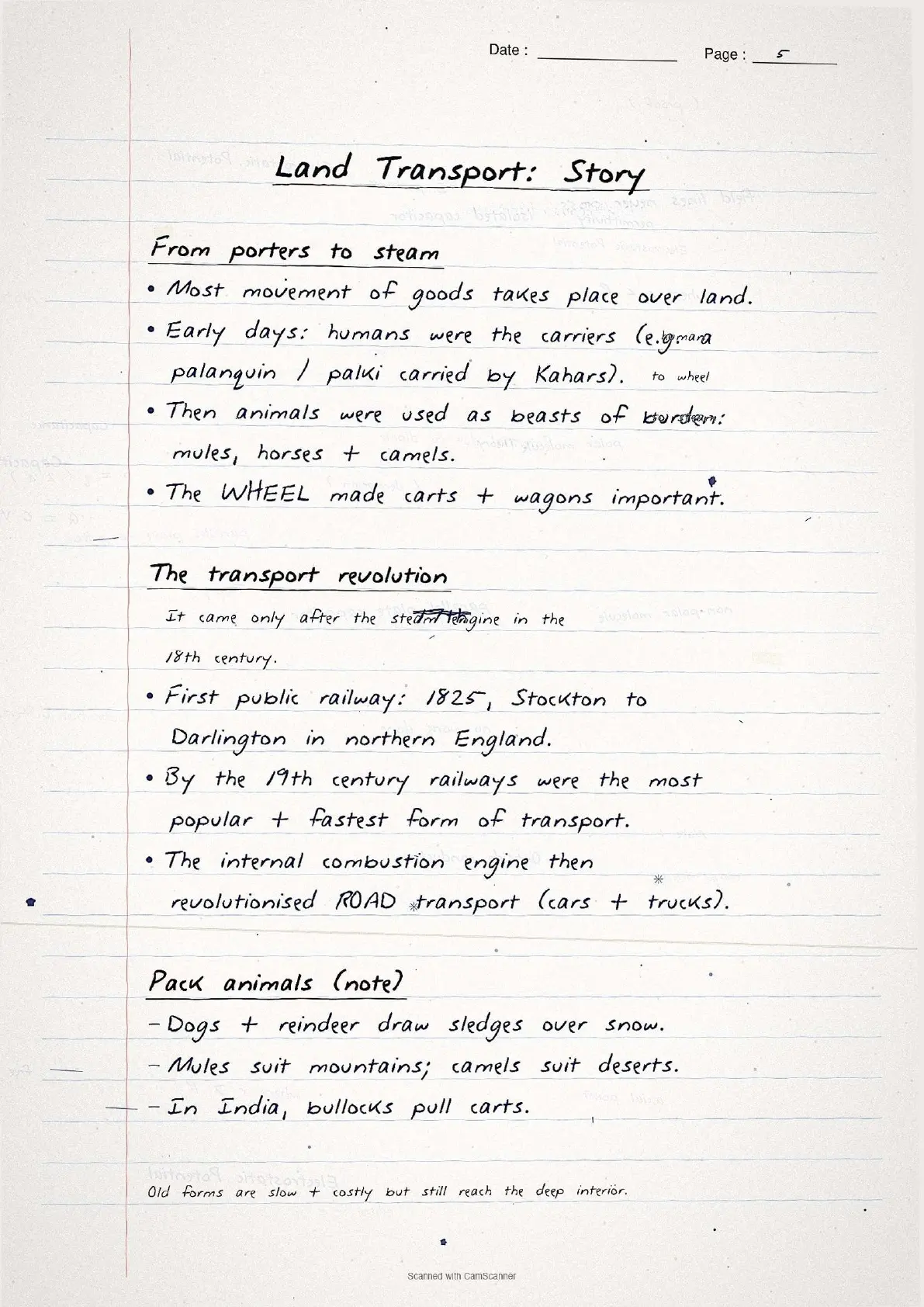
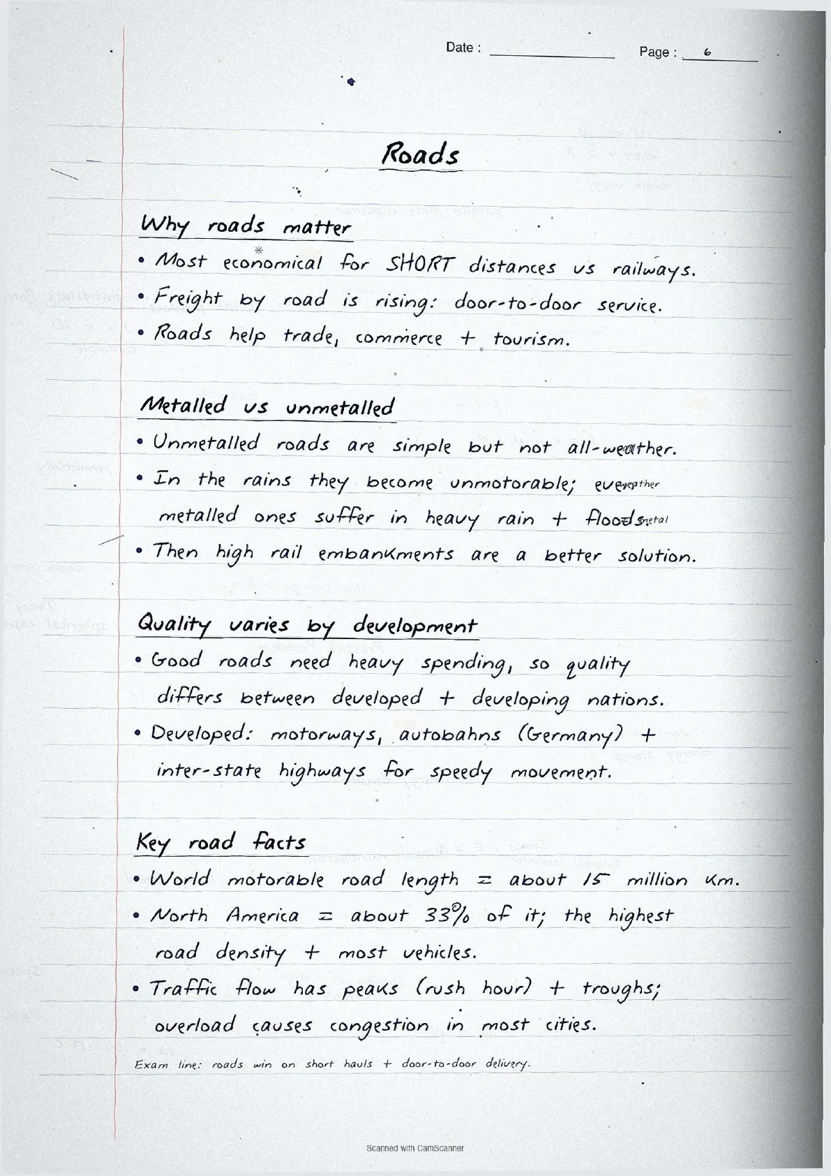
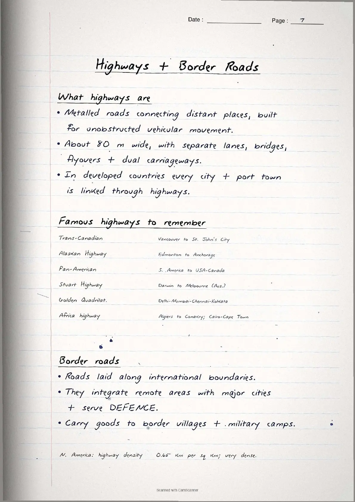
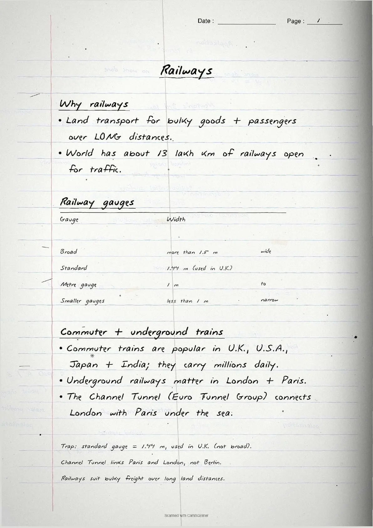
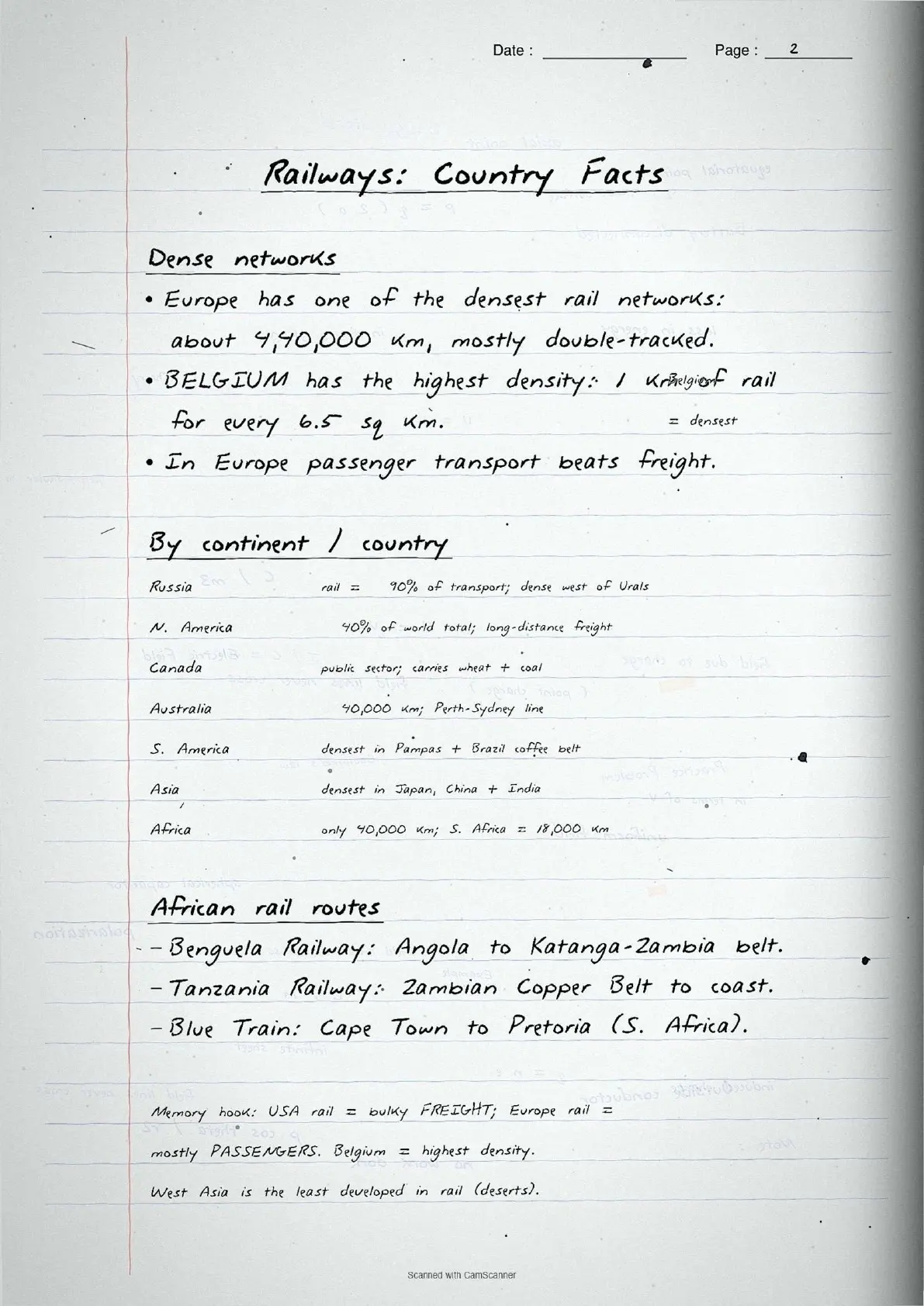
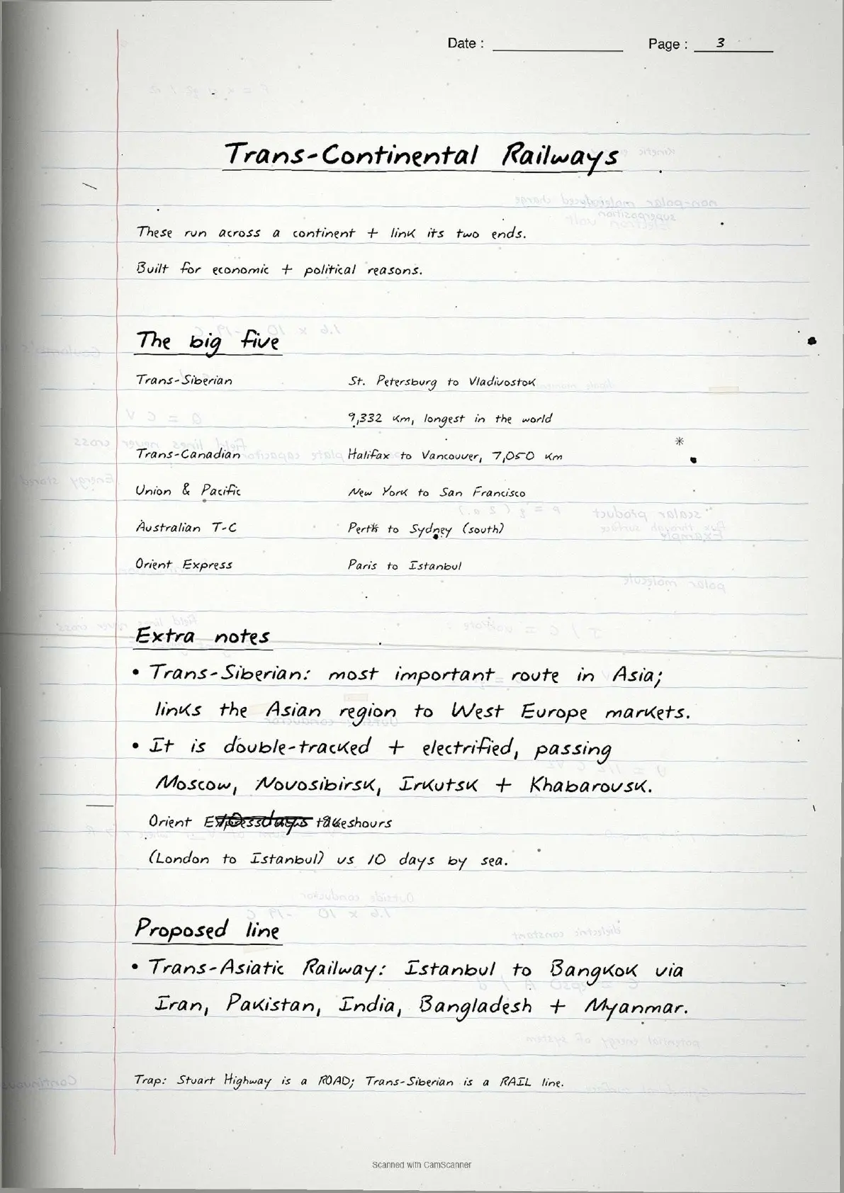
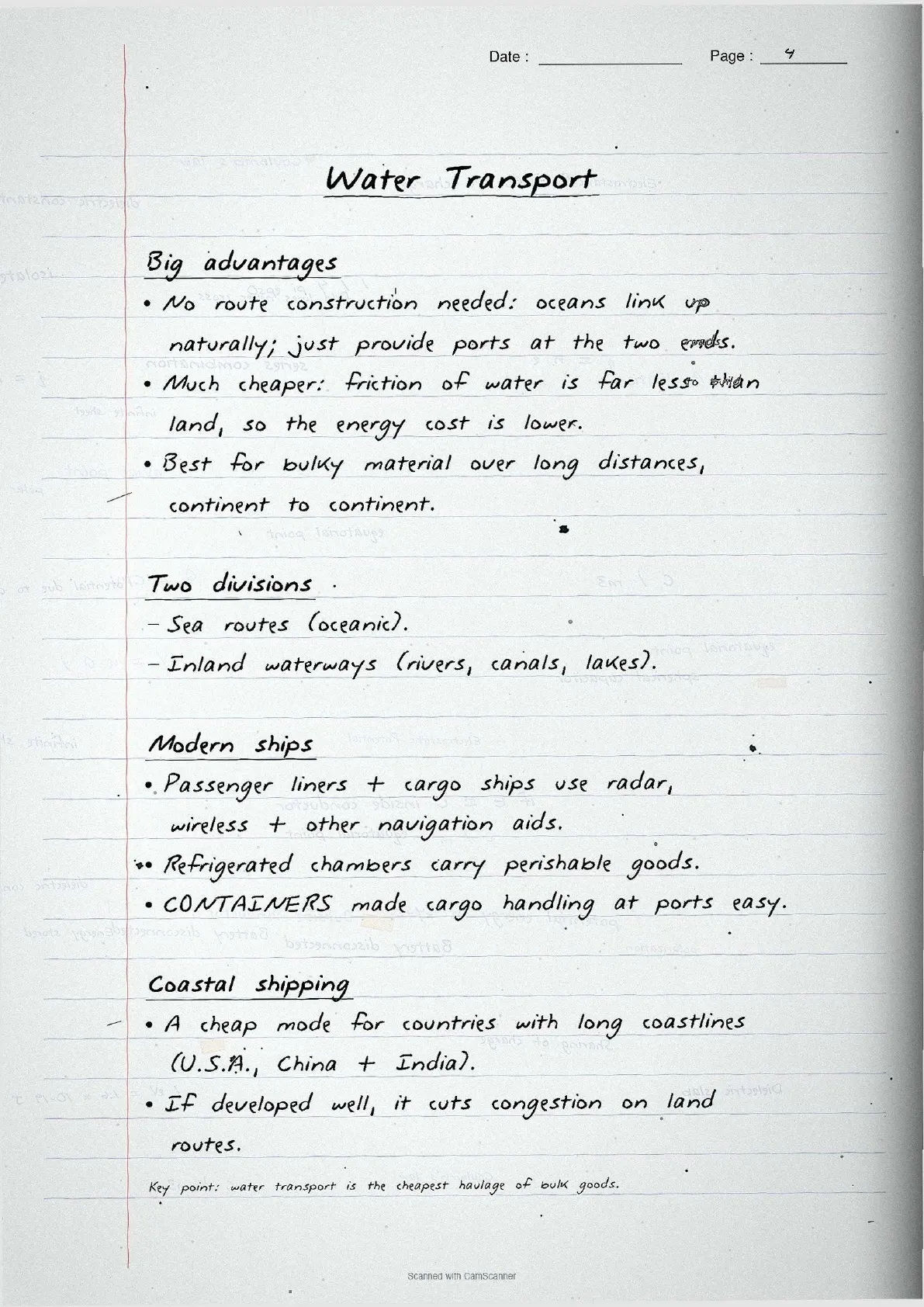
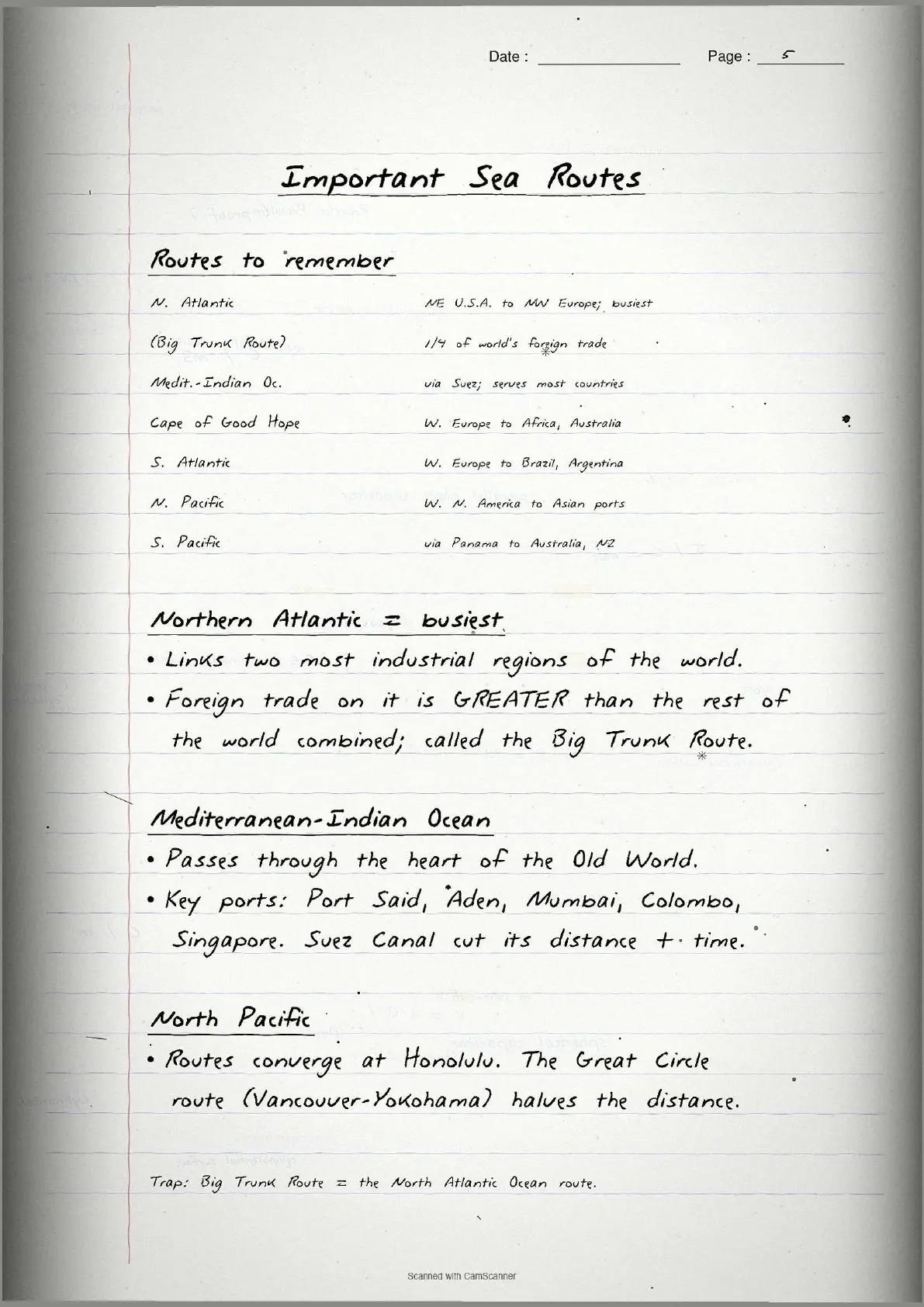
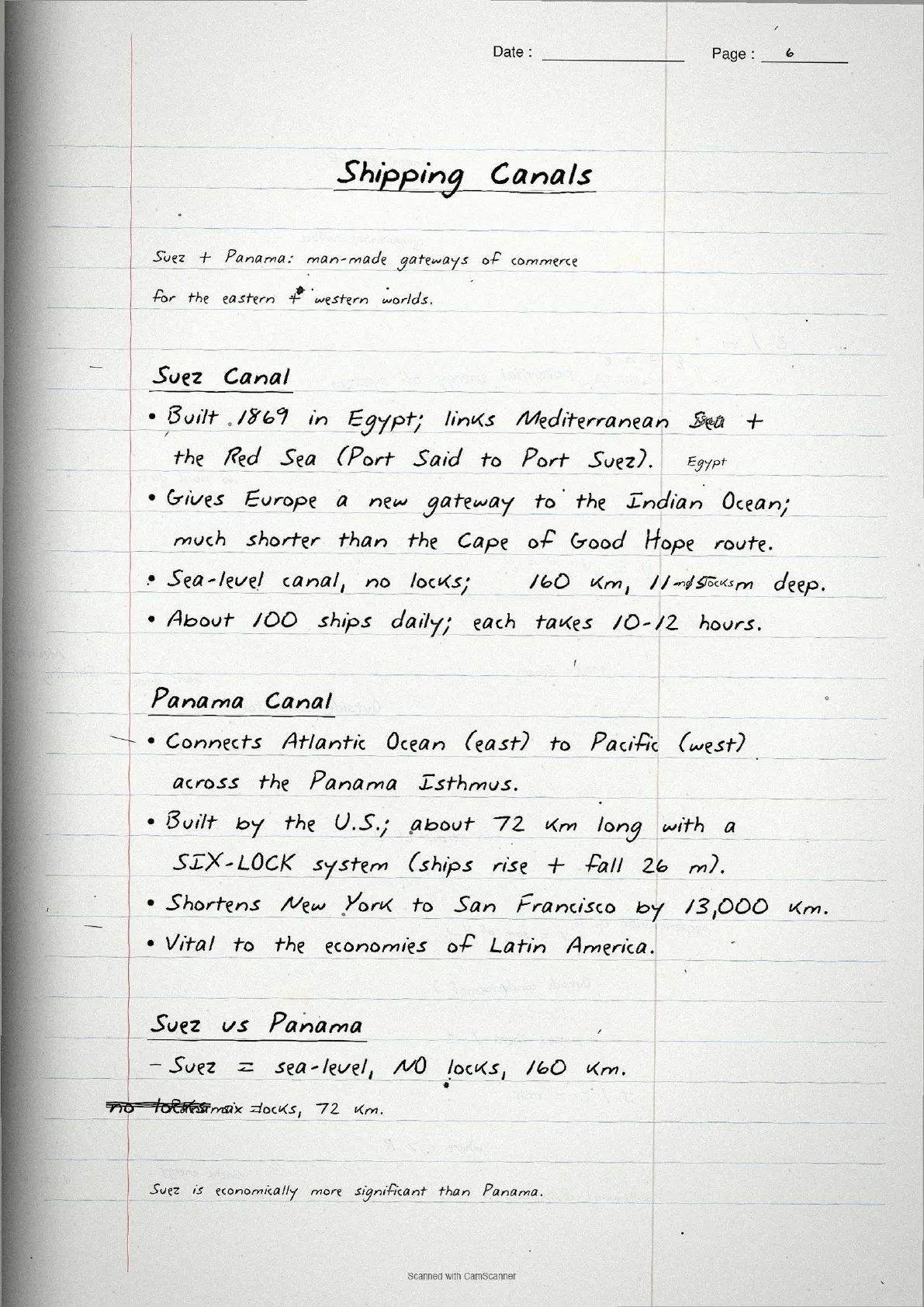
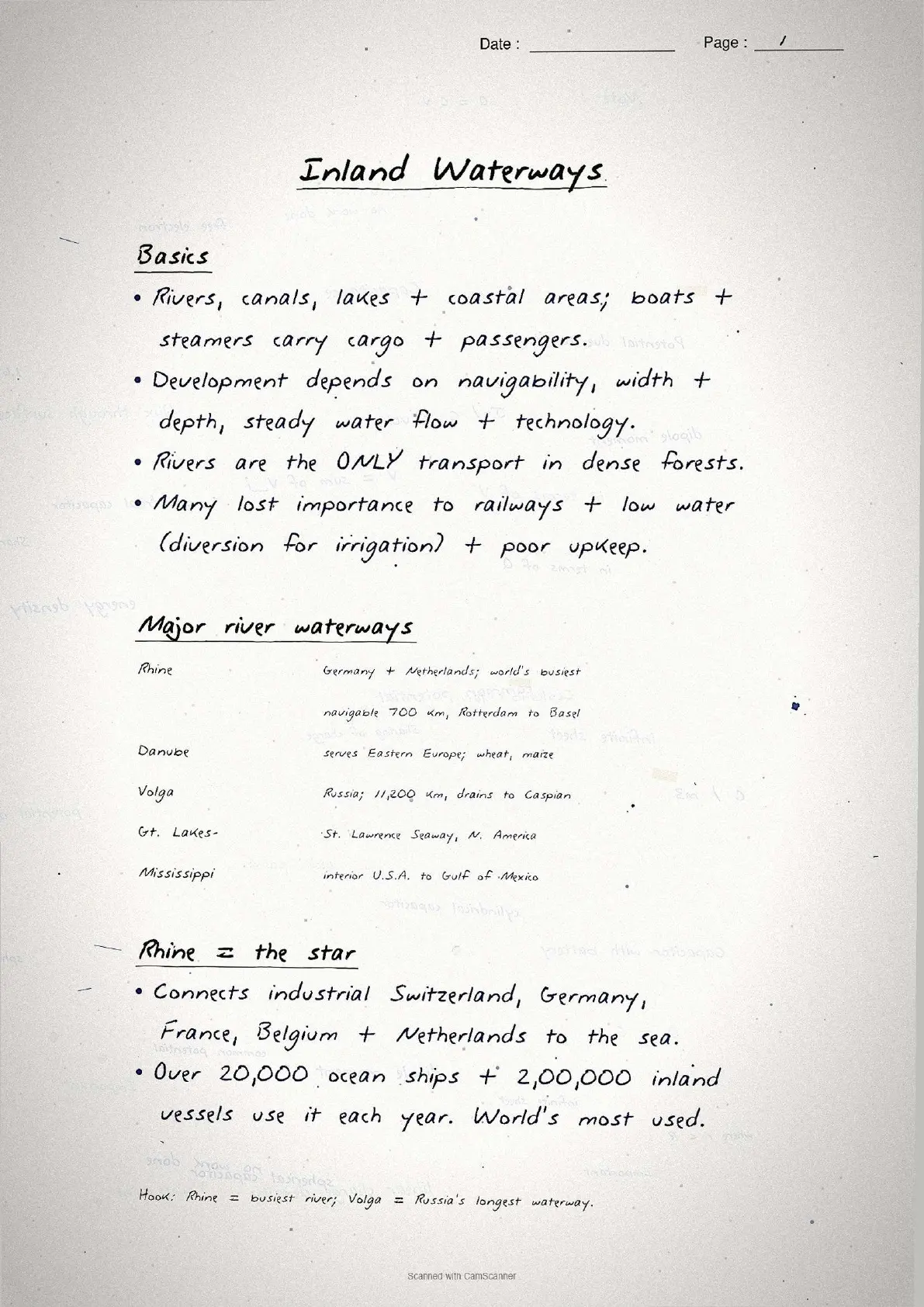
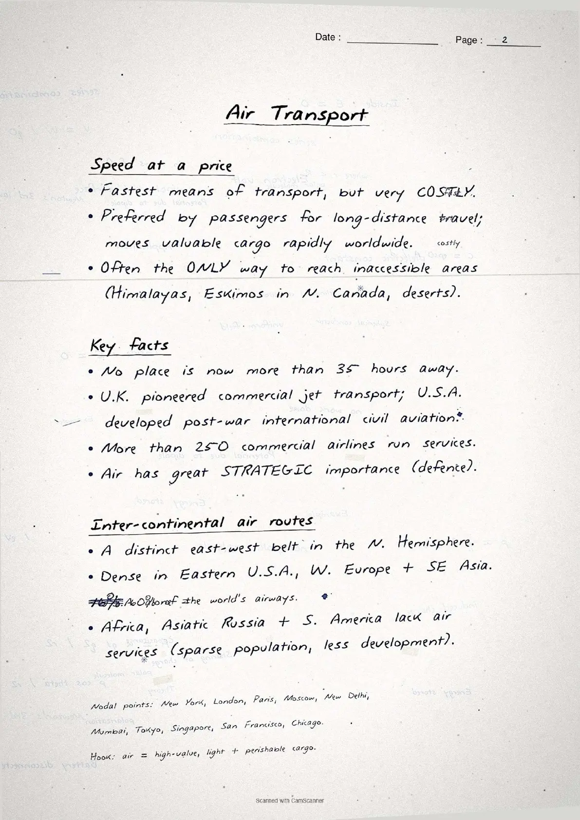
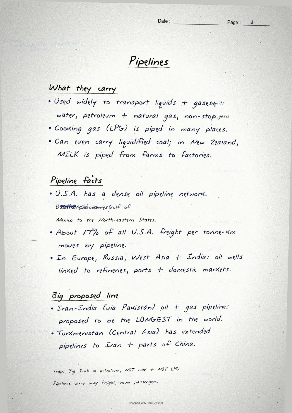
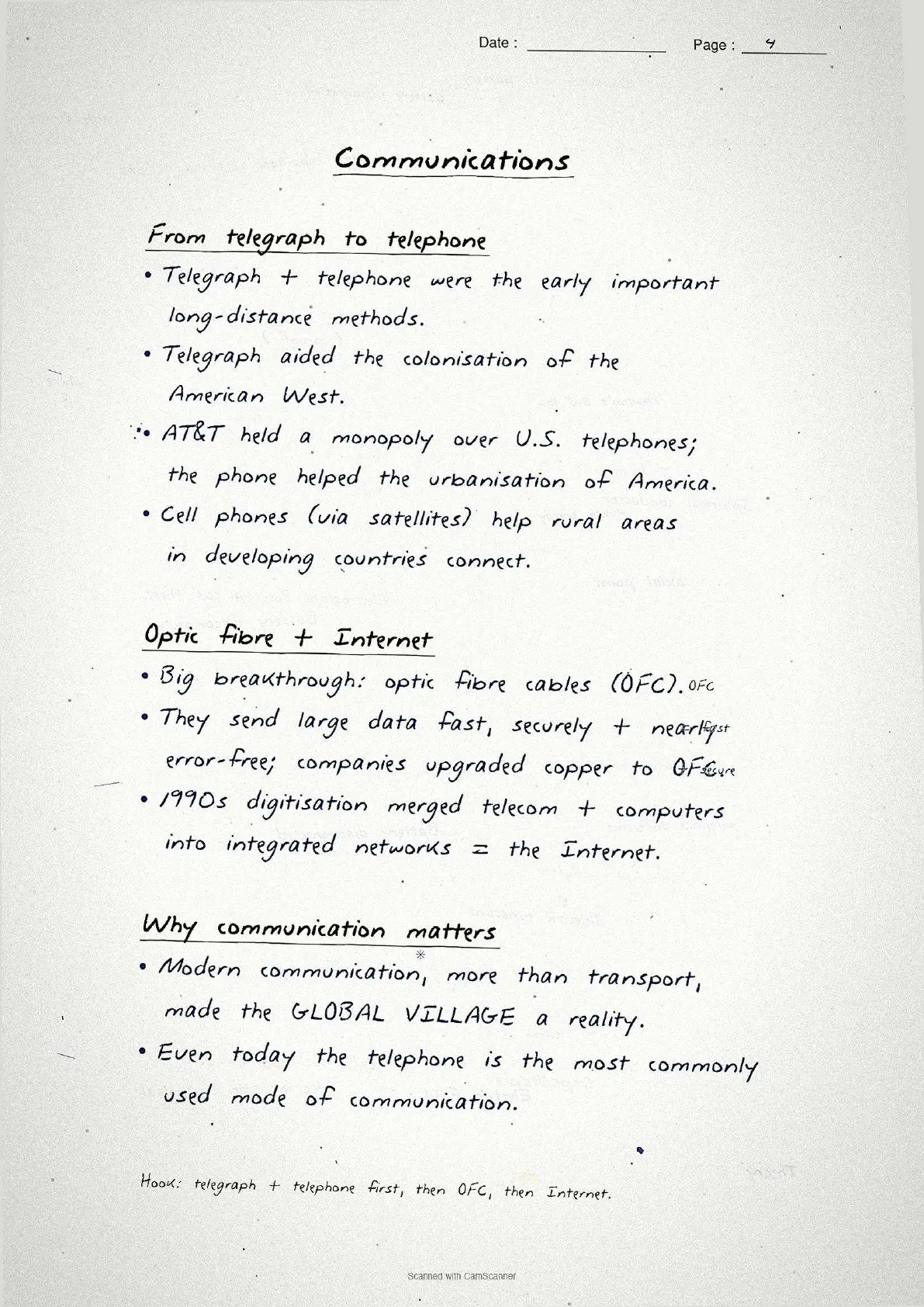
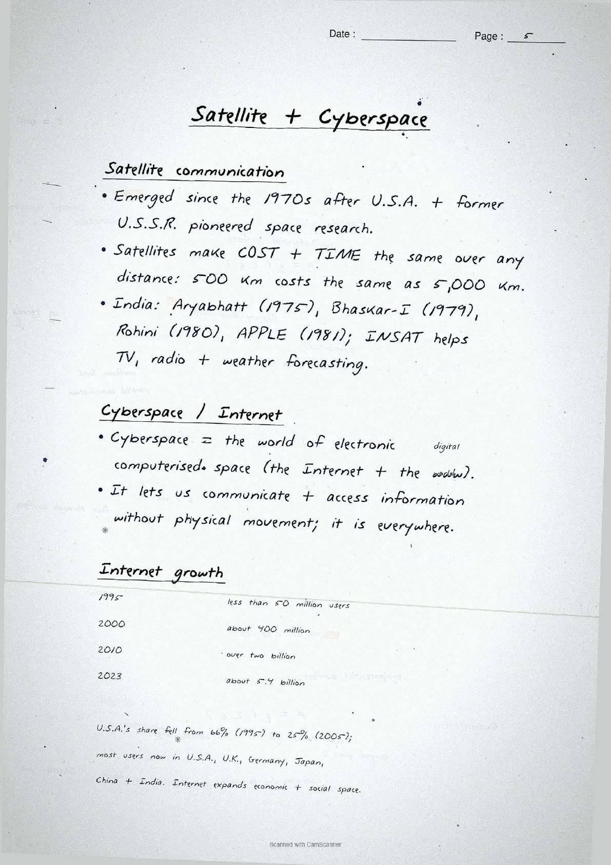
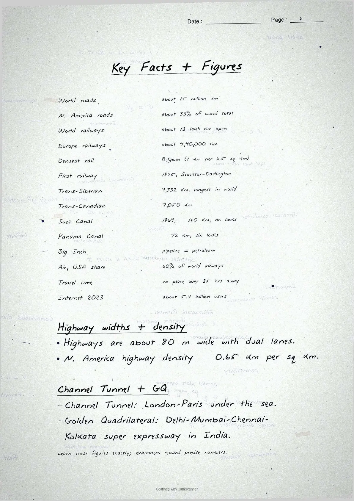
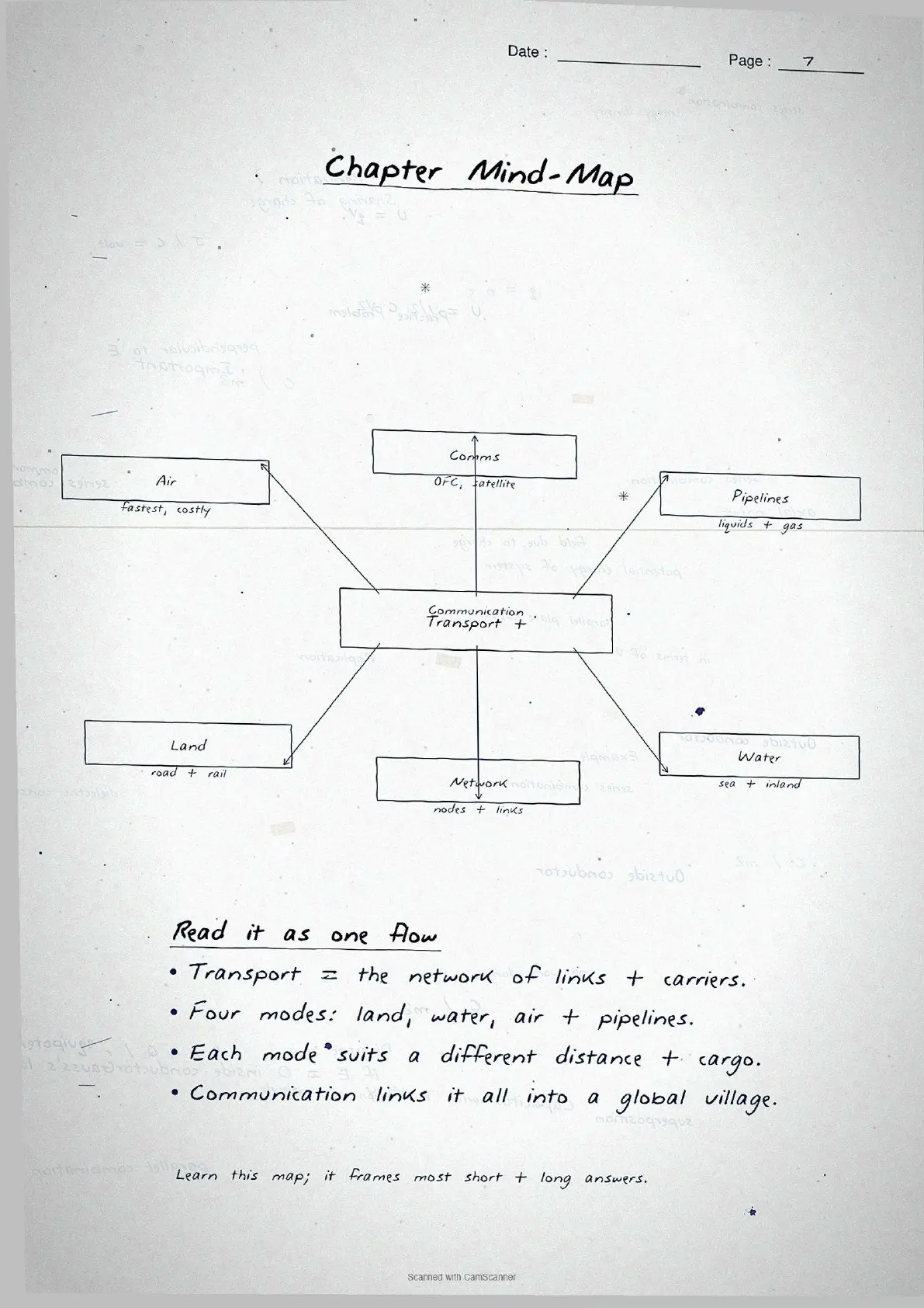
- Topper's handwritten revision notes covering all of CBSE Class 12 Geography India People and Economy Chapter 7.
- 8-10 marks weightage in the Class 12 Geography board paper, with road networks, railway zones, national waterways, air transport, pipelines and communication systems worked out by hand.
- Pairs with the typed NCERT Solutions, typed Notes and the official NCERT Book PDF for the same chapter.
These handwritten notes are a topper's genuine revision pages, mapped to the 2026-27 NCERT India People and Economy textbook and cross-checked against the last five years of CBSE Class 12 Geography board papers.
Student Feedback
73% of Class 12 students in our 2026-27 poll of 10,240 students said handwritten notes feel faster to scan than typed PDFs in the final 48 hours, and toppers reported that pasting these pages into their revision notebook added about 2 marks on the 6-mark question for this chapter.
What These Handwritten Notes Include
These transport and communication class 12 handwritten notes are built for last-mile revision, not first-time concept building. The page-by-page breakdown below shows what each page covers. Use the PDF in the 24 hours before the board paper.
| Page | What the page covers | Approx revision time |
|---|---|---|
| Page 1 | Road transport: road hierarchy (NH, SH, District, Rural, Border Roads), road network data, Golden Quadrilateral, North-South and East-West Corridors, Bharatmala. | 6 minutes |
| Page 2 | Rail transport: 17 railway zones with headquarters, three gauge types (broad, metre, narrow), Konkan Railway details, metro rail in urban centres. | 6 minutes |
| Page 3 | Water transport: five national waterways (NW1 to NW5 with stretches), 12 major ports, oceanic trade share (95% volume, 70% value), Kerala backwaters. | 5 minutes |
| Page 4 | Air transport: history (1911 Prayagraj-Naini airmail), AAI role, UDAN scheme, Pawan Hans helicopter services, major domestic routes. | 4 minutes |
| Page 5 | Pipelines: OIL Naharkatiya-Barauni crude pipeline (1,157 km), HVJ gas pipeline (1,700 km), GAIL India, national gas grid expansion. | 4 minutes |
| Page 6 | Communication: internet, All India Radio, Doordarshan history, INSAT (1983) and IRS (1988) satellite systems, NRSC Hyderabad. | 4 minutes |
Source: Magnet Brains on YouTube
Road and Rail Transport at a Glance
Road and rail form the backbone of India's land transport system. CBSE markers reward students who quote specific figures, so learn the road categories and railway zone data below.
Road transport: the five-tier network
India's road network runs to about 62.16 lakh km (2020-21), one of the largest in the world, and carries about 85% of passenger traffic and 70% of freight. The five-tier road classification is reproduced below.
| Road type | Built and maintained by | Key fact (as noted in the handwritten file) |
|---|---|---|
| National Highways (NH) | Central Government / NHAI | 2% of total road length but carries 40% of traffic; 1,36,440 km in 2020 |
| State Highways (SH) | State Governments | Connect state capital to district HQ; link to NH |
| District Roads | Zila Parishad / PWD | Link district HQ to other nodes; 1,76,818 km |
| Rural Roads | Panchayati Raj / PMGSY | About 80% of total road length; density low in hills and deserts |
| Border Roads (BRO) | Border Roads Organisation (est. 1960) | Chandigarh-Manali-Leh; Atal Tunnel 9.02 km (world's longest highway tunnel) |
Tip: The NH box links "2% length" to "40% traffic" as an efficiency multiplier. Writing this contrast in your answer scores the extra half-mark CBSE gives for comparative analysis in 3-mark questions.
Rail transport: zones, gauges and milestones
Indian Railways is the largest government undertaking in the country, with a network of 67,956 km (2019-20), divided into 17 zones, each with a headquarters city. The three gauge types are Broad gauge (1.676 m), Metre gauge (1 m) and Narrow gauge (0.762 m or 0.610 m).
Important: The Konkan Railway (1998, 760 km, Roha to Mangalore) is a CBSE favourite. Key facts: 146 rivers crossed, nearly 2,000 bridges, 91 tunnels, Asia's longest tunnel at 6.5 km.
Water Transport and Air Transport
Water transport is the cheapest and most eco-friendly mode, best for heavy bulky cargo. Air transport is the fastest mode, essential for a large, diverse country. Both carry steady marks in the board paper.
Inland waterways and oceanic routes
India has 14,500 km of navigable waterways, contributing about 1% to total transport. The Inland Waterways Authority was set up in 1986, and the National Waterways Act 2016 declared 111 national waterways. The five key waterways (NW1 to NW5) are below. NW1 (Ganga) and NW2 (Brahmaputra) are the two most-tested in CBSE papers.
| Waterway | Stretch | Length | River / channel |
|---|---|---|---|
| NW 1 | Prayagraj to Haldia | 1,620 km | Ganga |
| NW 2 | Sadiya to Dhubri | 891 km | Brahmaputra |
| NW 3 | Kottapuram to Kollam | 205 km | West Coast Canal + 2 canals |
| NW 4 | Godavari-Krishna stretches + Kakinada-Puducherry canal | 1,078 km | Godavari and Krishna |
| NW 5 | Brahmani, Mahanadi delta channels + East Coast Canal | 588 km | Brahmani |
India has a coastline of about 7,517 km (including islands), with 12 major and 200 minor ports. About 95% of India's foreign trade by volume and 70% by value moves through ocean routes (volume is 95%, not value, a common mix-up).
Air transport and the UDAN scheme
Air transport began in India in 1911, with airmail over 10 km between Prayagraj and Naini. The Airport Authority of India (AAI) handles air traffic and aeronautical communication. The UDAN scheme (Ude Desh ka Aam Nagrik) makes air travel affordable by promoting regional connectivity, and Pawan Hans provides helicopter services in hilly and north-eastern areas.
Pipelines and Communication Networks
Pipelines and communication networks are the two most commonly skipped topics, but they carry 3 to 4 marks on average, so each gets a dedicated page.
Oil and gas pipelines
Pipelines are the most convenient and efficient mode for liquids, gases and even solids (as slurry) over long distances. Oil India Limited (OIL) built Asia's first cross-country pipeline, 1,157 km from the Naharkatiya oilfield in Assam to the Barauni refinery in Bihar (extended to Kanpur in 1966). GAIL India Ltd built the 1,700 km Hazira-Vijaipur-Jagdishpur (HVJ) gas pipeline, linking Mumbai High and Bassein to industry in western and northern India. India's gas pipeline network has grown from 1,700 km to 18,500 km, targeted to reach 34,000 km.
| Pipeline | Length | Operated by | Purpose |
|---|---|---|---|
| Naharkatiya-Barauni (+ Kanpur extension) | 1,157 km (+ extension) | OIL | Crude oil: Assam oilfield to Bihar refinery |
| HVJ pipeline | 1,700 km | GAIL | Natural gas: Mumbai High and Bassein to western + northern India |
| National Gas Grid (planned) | ~34,000 km | GAIL | Link all gas sources and consuming markets including North East |
Personal and mass communication systems
Communication is divided into personal (internet, e-mail) and mass (radio, television, satellites). All India Radio began in 1923 and was renamed Akashwani in 1957. Television started in Delhi in 1959, and Doordarshan was separated from AIR in 1976. The INSAT system (1983) handles telecommunication and meteorology; the IRS satellite system (1988, IRS-IA from Baikonur) supports resource management, with data processed at NRSC Hyderabad.
Common Mistakes Highlighted in the Notes
The six repeat-offender mistakes CBSE examiners flag each year on transport and communication class 12 questions. Each appears as a margin callout beside the relevant fact.
- Confusing NW1 and NW2 rivers. NW1 is the Ganga (Prayagraj to Haldia); NW2 is the Brahmaputra (Sadiya to Dhubri). Swapping rivers loses the full mark.
- Mixing up trade percentages. 95% by volume and 70% by value move via ocean routes, not the other way around. Volume is always the larger share.
- Wrong year for INSAT vs IRS. INSAT = 1983; IRS = 1988. Students routinely reverse these two dates in one-mark questions.
- Forgetting the NH share contrast. NH is only 2% of total road length but carries 40% of road traffic. Both numbers must appear together in a 3-mark answer.
- Misattributing the Atal Tunnel. The Atal Tunnel (9.02 km, world's longest highway tunnel) was built by BRO, not NHAI. Students who write NHAI lose the mark.
- Confusing OIL and GAIL pipelines. OIL built the crude oil pipeline (Naharkatiya-Barauni); GAIL built the gas pipeline (HVJ). The agency-pipeline link is tested directly.
Each mistake carries a one-line "remember this" note. The NW1-NW2 hook reads "Ganga = 1, Brahmaputra = 2, Kerala coast = 3".
Previous Year Question Trends
The CBSE Class 12 Geography board paper has carried a stable 8 to 10 marks from Chapter 7 over the last five years, split across one or two theory or data-based questions and one map-based question. The notes are built around this pattern.
| Year | Question asked | Marks | Notes page to revise |
|---|---|---|---|
| 2025 | Describe the significance of road transport in India. Why is NH length low but traffic high? | 5 | Page 1 |
| 2024 | Name the five National Waterways and their stretches. | 5 | Page 3 |
| 2023 | Explain the Konkan Railway as an engineering achievement. | 3 | Page 2 |
| 2022 | Distinguish between INSAT and IRS satellite systems. | 3 | Page 6 |
| 2021 | Discuss the role of pipelines as a mode of transport in India. Name two major pipelines. | 5 | Page 5 |
Both inland waterways and pipelines have appeared as full 5-mark questions, so Pages 3 and 5 should be revised together. Students who skip pipelines as a "small" topic lose the full 5 marks when it appears.
Other Resources for Class 12 Geography Chapter 7 (India People and Economy)
Pair these handwritten notes with the matching NCERT Solutions, typed Notes and the official NCERT Book chapter for Class 12 Geography Chapter 7.
| Resource | What it covers | Open |
|---|---|---|
| Handwritten Notes | Topper's handwritten revision pages for last-mile board exam prep. | You are here |
| NCERT Solutions | Step-by-step answers to all exercise questions with detailed explanations and data references. | Class 12 Geography Chapter 7 NCERT Solutions |
| Notes | Concept-first typed revision notes with definitions, data tables, map references and common mistakes. | Class 12 Geography Chapter 7 Notes |
| NCERT Book PDF | Official NCERT India People and Economy Chapter 7 textbook in PDF form. | Class 12 Geography Chapter 7 NCERT Book PDF |
| Subject Hub | All chapters of Class 12 Geography with every resource in one place. | Class 12 Geography Subject Hub |
All Chapters Handwritten Notes for Class 12 Geography India People and Economy
Related Links: Handwritten notes for the other chapters of Class 12 Geography India People and Economy.
| Chapter | Topic | Handwritten Notes link |
|---|---|---|
| Chapter 1 | Population Distribution, Density, Growth and Composition | Class 12 Geography Chapter 1 Handwritten Notes |
| Chapter 2 | Human Settlements | Class 12 Geography Chapter 2 Handwritten Notes |
| Chapter 3 | Land Resources and Agriculture | Class 12 Geography Chapter 3 Handwritten Notes |
| Chapter 4 | Water Resources | Class 12 Geography Chapter 4 Handwritten Notes |
| Chapter 5 | Mineral and Energy Resources | Class 12 Geography Chapter 5 Handwritten Notes |
| Chapter 6 | Planning and Sustainable Development in Indian Context | Coming soon |
| Chapter 7 | Transport and Communication | You are here |
| Chapter 8 | International Trade | Coming soon |
| Chapter 9 | Geographical Perspective on Selected Issues and Problems | Coming soon |
Transport and Communication Class 12 Handwritten Notes FAQs
Ques. What are these transport and communication class 12 handwritten notes meant to be used for?
Ans. They are a topper's handwritten revision file that compresses the full NCERT Chapter 7 into 5 to 6 pages of data boxes, national waterway tables, road hierarchy charts and margin-callout common mistakes. Students use the file for last-mile revision in the 24 hours before the board paper, paired with the typed Notes for concept building and the NCERT Solutions for full-answer drill.
Ques. How many modes of transport are covered in Class 12 Geography Chapter 7?
Ans. NCERT Class 12 Geography Chapter 7 covers five main modes of transport: road, rail, inland waterways, oceanic routes and air transport. Pipelines are treated as a sixth specialised mode for liquids and gases. The handwritten notes give each mode a dedicated section across six pages, with key figures boxed in red for quick recall. All six modes have appeared in CBSE board papers across the 2021 to 2025 cycle, so the handwritten file covers every testable topic in the chapter.
Ques. What are the five National Waterways of India covered in these handwritten notes?
Ans. The five national waterways listed in the NCERT chapter and reproduced in the handwritten notes are: NW1 (Prayagraj to Haldia, 1,620 km, Ganga), NW2 (Sadiya to Dhubri, 891 km, Brahmaputra), NW3 (Kottapuram to Kollam, 205 km, West Coast Canal), NW4 (Godavari-Krishna stretches with Kakinada-Puducherry canal, 1,078 km), and NW5 (Brahmani and Mahanadi delta channels with East Coast Canal, 588 km). The handwritten table reproduces these five rows from NCERT Table 7.3 in exact order, because CBSE markers reward the correct river-waterway pairing.
Ques. What is the Golden Quadrilateral and why is it important for Class 12 Geography?
Ans. The Golden Quadrilateral is a 5,846 km, four-to-six lane high-density traffic corridor connecting India's four largest metro cities: Delhi, Mumbai, Chennai and Kolkata. It is built and maintained by NHAI under the National Highways Development Project. Its significance in Class 12 Geography is that it minimises travel time, distance and cost of goods movement between the four mega cities and stimulates economic activity along the corridor. The handwritten notes show the quadrilateral as a hand-drawn diamond with all four cities labelled, which helps students recall the shape-based answer for 3-mark questions.
Ques. What is the difference between INSAT and IRS satellite systems in Class 12 Geography?
Ans. INSAT (Indian National Satellite System), established in 1983, is a multi-purpose satellite system used for telecommunication, meteorological observation, weather forecast, monitoring natural calamities and surveillance of border areas. IRS (Indian Remote Sensing Satellite System) became operational in 1988 with IRS-IA launched from Baikonur. IRS satellites collect data in several spectral bands for natural resource management, and data is processed at the National Remote Sensing Centre (NRSC) in Hyderabad. The key distinction is that INSAT handles communication and weather, while IRS handles remote sensing for resource management. The handwritten notes put both systems in adjacent boxes with an arrow labelled "INSAT = 1983, IRS = 1988" as a memory hook.
Ques. Are these transport and communication class 12 handwritten notes enough for the CBSE board exam?
Ans. The handwritten notes are sufficient for data-recall questions (roughly 6 to 8 marks of the 8 to 10 marks this chapter typically carries), but map-based and long-answer questions require additional practice with the NCERT Solutions and atlas work. Students aiming for 90-plus in CBSE Class 12 Geography should pair the handwritten file with the matching NCERT Solutions PDF (exercise questions worked end-to-end) and one round of atlas marking for all port and waterway locations. All three resources are linked in the cross-resource table on this page.
Ques. How long does it take to revise the transport and communication class 12 notes?
Ans. The full handwritten notes file is designed for a 24-minute first revision pass, a 15-minute targeted pass and a 7-minute final pass right before the exam. Students who already have the chapter covered finish the file in under 20 minutes. Page 3 (national waterways table) and Page 1 (road hierarchy and Golden Quadrilateral) together take 11 to 13 minutes and cover roughly 7 of the 8 to 10 marks the chapter typically carries in the CBSE Class 12 Geography board paper.
Ques. Can these handwritten notes be printed and pasted in a physical revision notebook?
Ans. Yes, and that is the recommended use pattern. The PDF is sized for A4 printing, with each page fitting cleanly inside a standard notebook page. Toppers in the 2026 Class 12 Geography student poll reported that printing these pages and pasting them into their revision notebook added about 2 marks on the data-based question.
Ques. Is the Class 12 Geography syllabus for transport and communication changing in 2026-27?
Ans. No major changes to Chapter 7 in 2026-27. The India People and Economy textbook chapter structure is unchanged for the current cycle, and the CBSE marking scheme continues to reward specific data (network length, waterway stretches, pipeline names) in both short and long answers. These transport and communication class 12 handwritten notes for the 2026-27 cycle are aligned to the unchanged textbook and the latest CBSE sample paper released for the 2026 boards.
Ques. What is the significance of the Konkan Railway in Class 12 Geography?
Ans. The Konkan Railway, completed in 1998, is a 760 km rail route connecting Roha in Maharashtra to Mangaluru in Karnataka. It is considered an engineering marvel because it crosses 146 rivers and streams, passes through nearly 2,000 bridges and 91 tunnels, and includes Asia's longest tunnel at approximately 6.5 km. The states of Maharashtra, Goa and Karnataka are partners in this project. In Class 12 Geography, Konkan Railway is important because it provides a direct link between Mumbai and Mangaluru along the western coast, opening up the Konkan region to development. CBSE papers test this as a 3-mark definition or significance question.
Ques. What is the role of BRO in India's road network according to Class 12 Geography?
Ans. The Border Roads Organisation (BRO) was established in May 1960 to build and maintain strategically important roads along India's northern and north-eastern borders for both economic development and defence preparedness. BRO constructed the Chandigarh-Manali-Leh road, which runs at an average altitude of 4,270 metres. It also built the Atal Tunnel (9.02 km), the world's longest highway tunnel, connecting Manali to the Lahaul-Spiti valley and keeping it accessible year-round despite heavy snowfall. BRO also undertakes snow clearance in high-altitude areas. In Class 12 Geography, BRO questions most often ask students to state its year of establishment, its purpose or name a landmark project.



Comments