




Class 7 Social Science Part 1 Chapter 1 Geographical Diversity of India flies over the whole country. These class 7 social science handwritten notes chapter 1 Geographical Diversity of India follow the 2026-27 NCERT and cover the five physical regions and how they shape our lives.
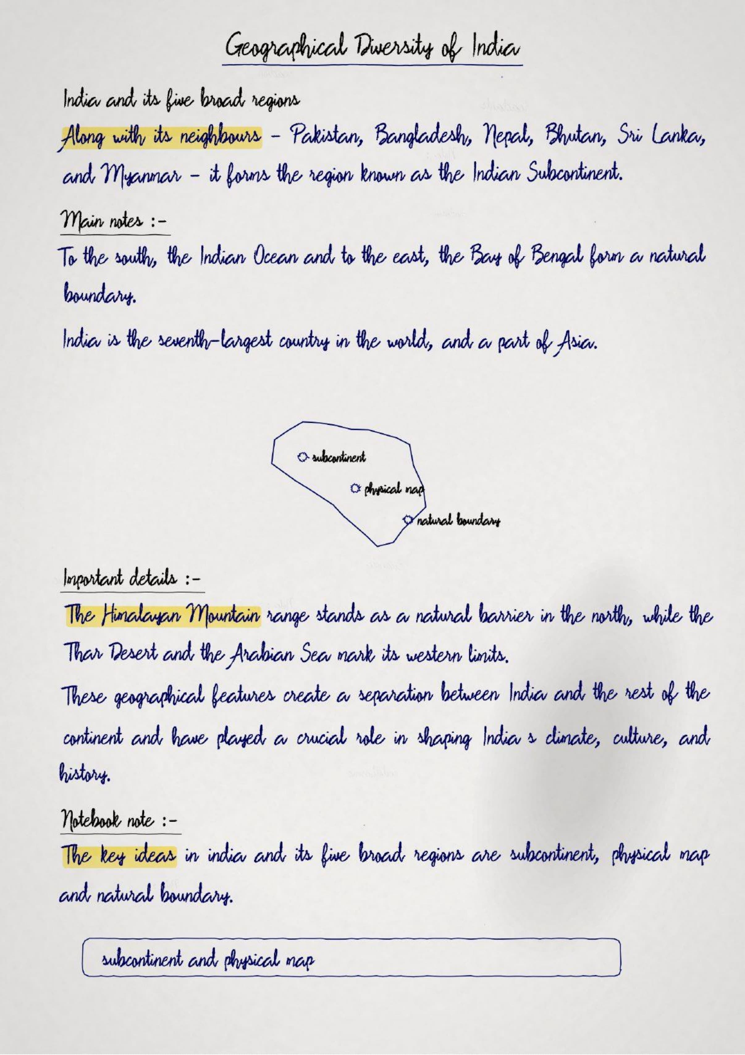
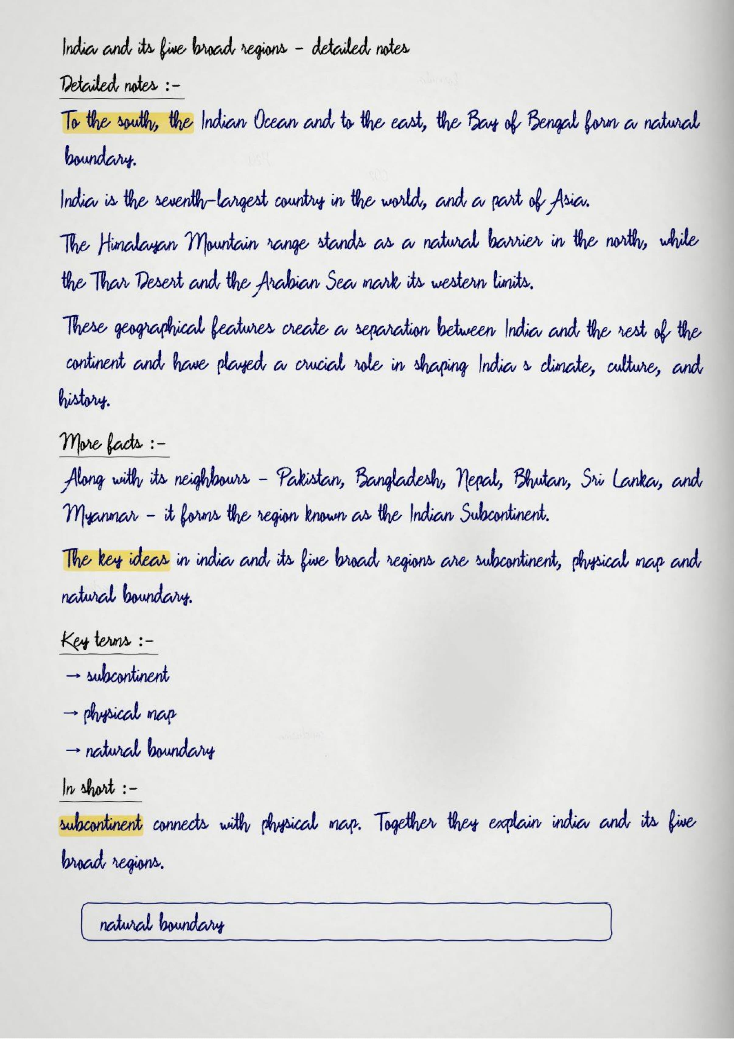
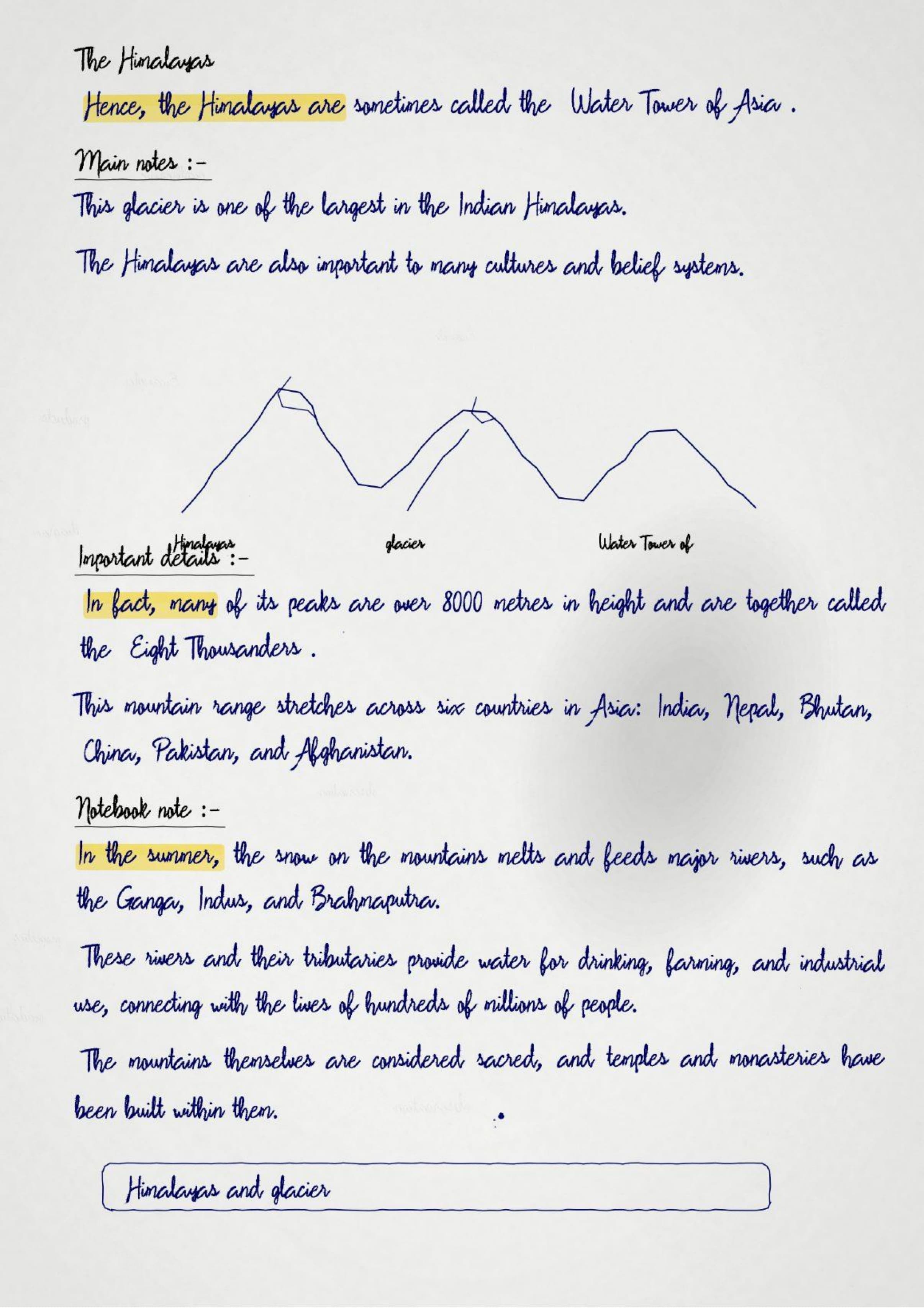
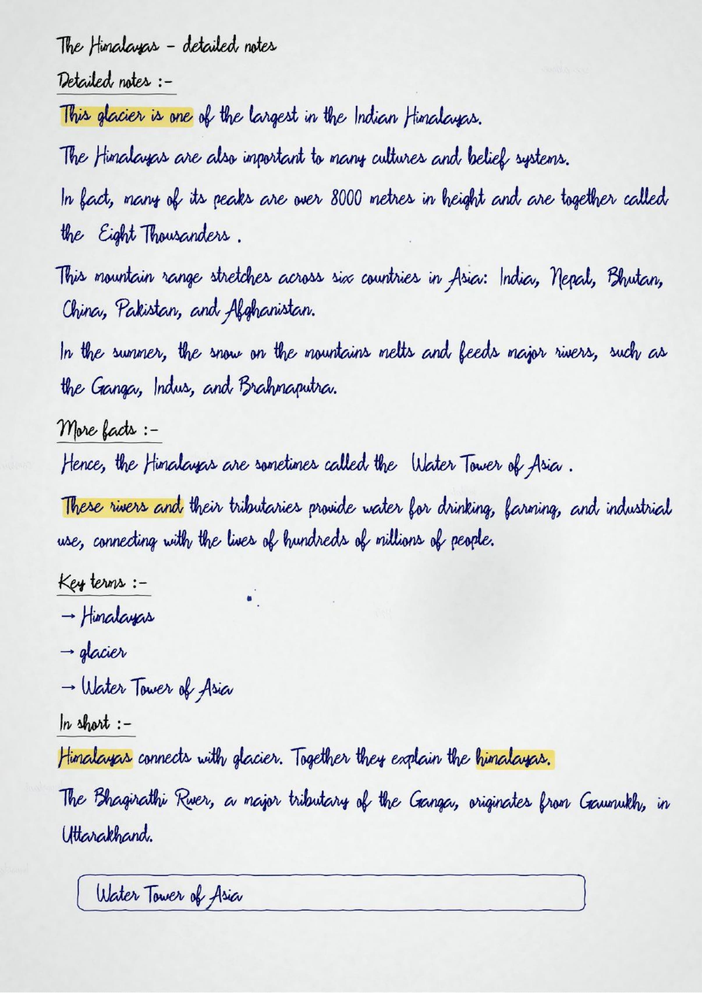
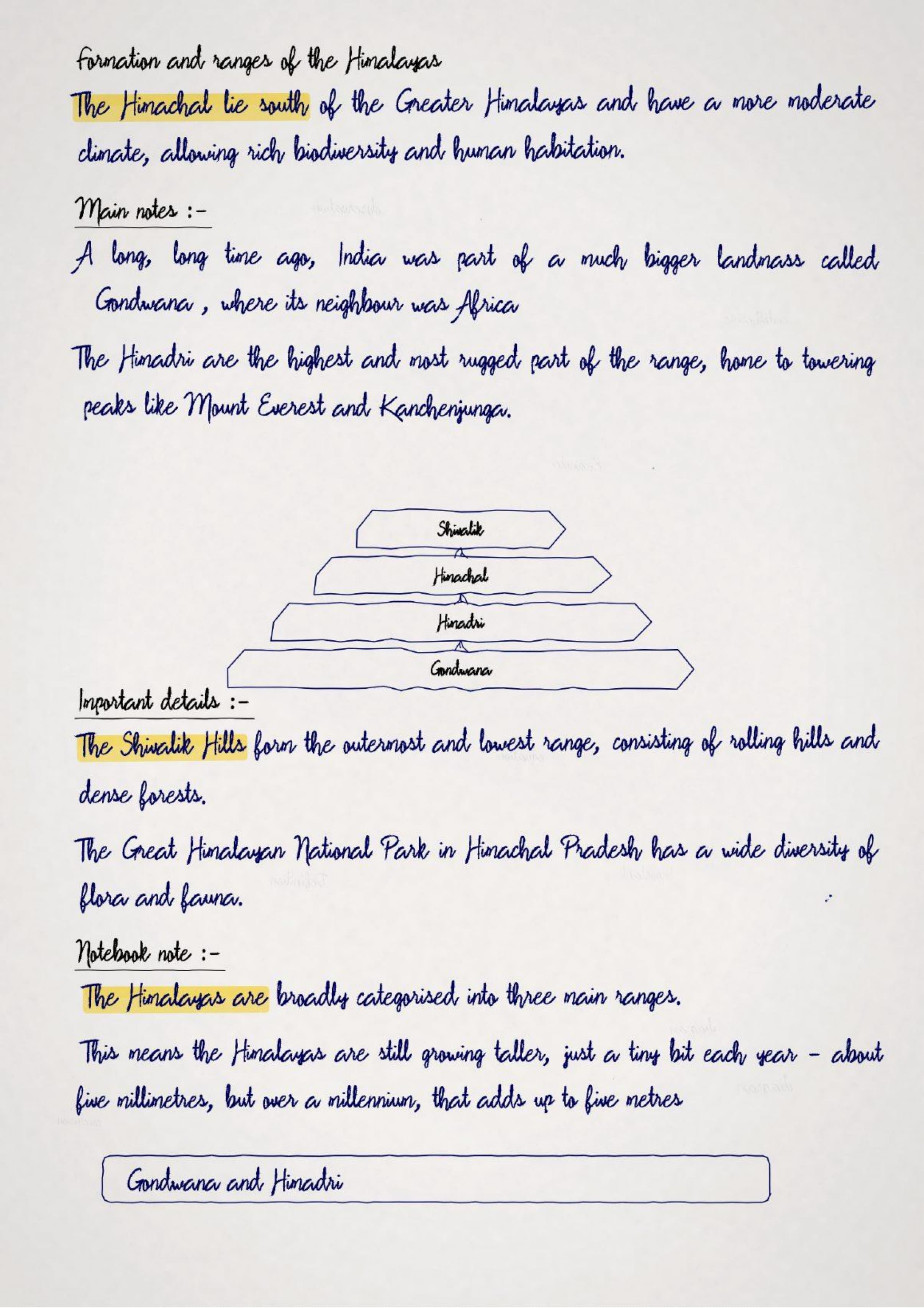
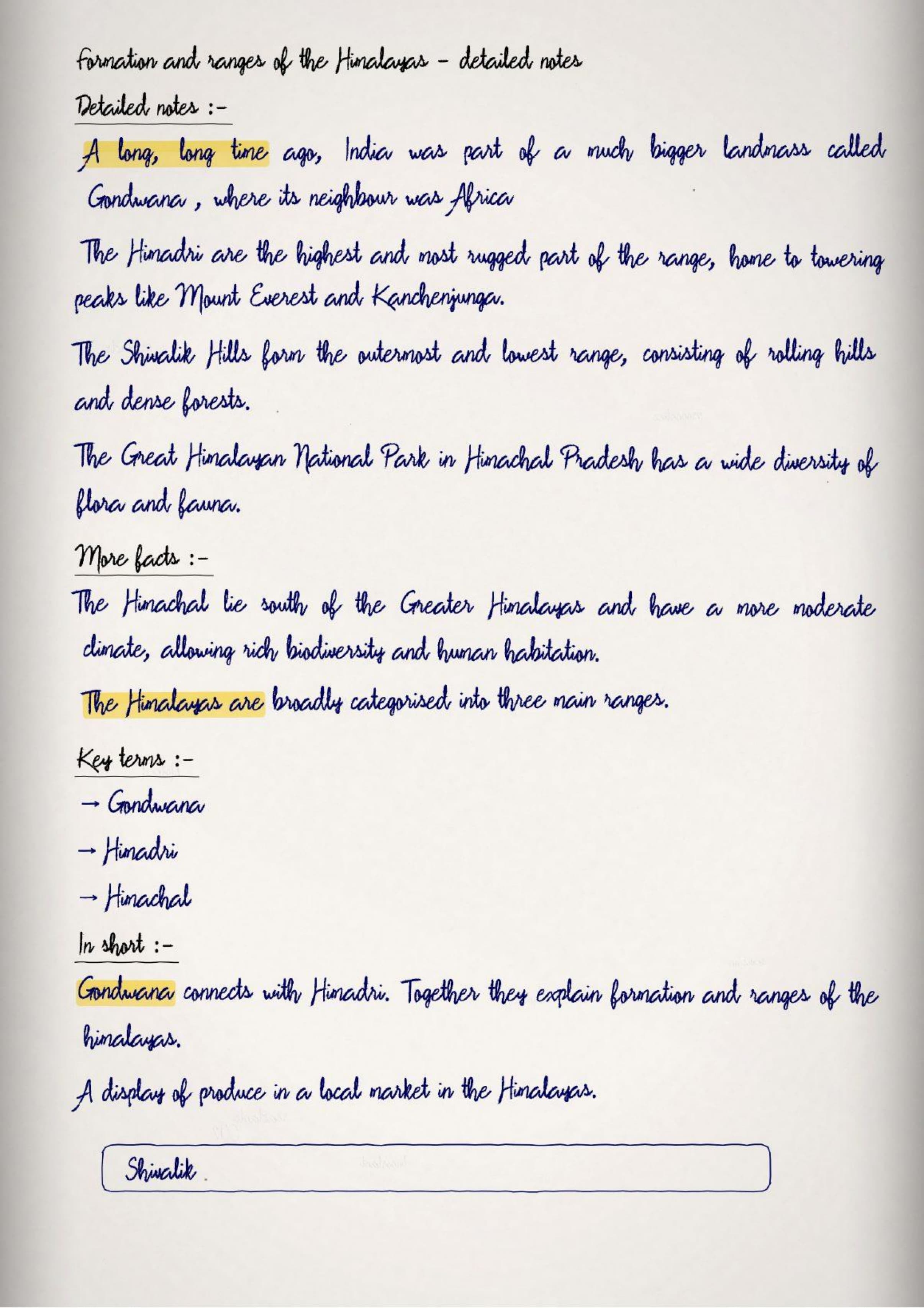
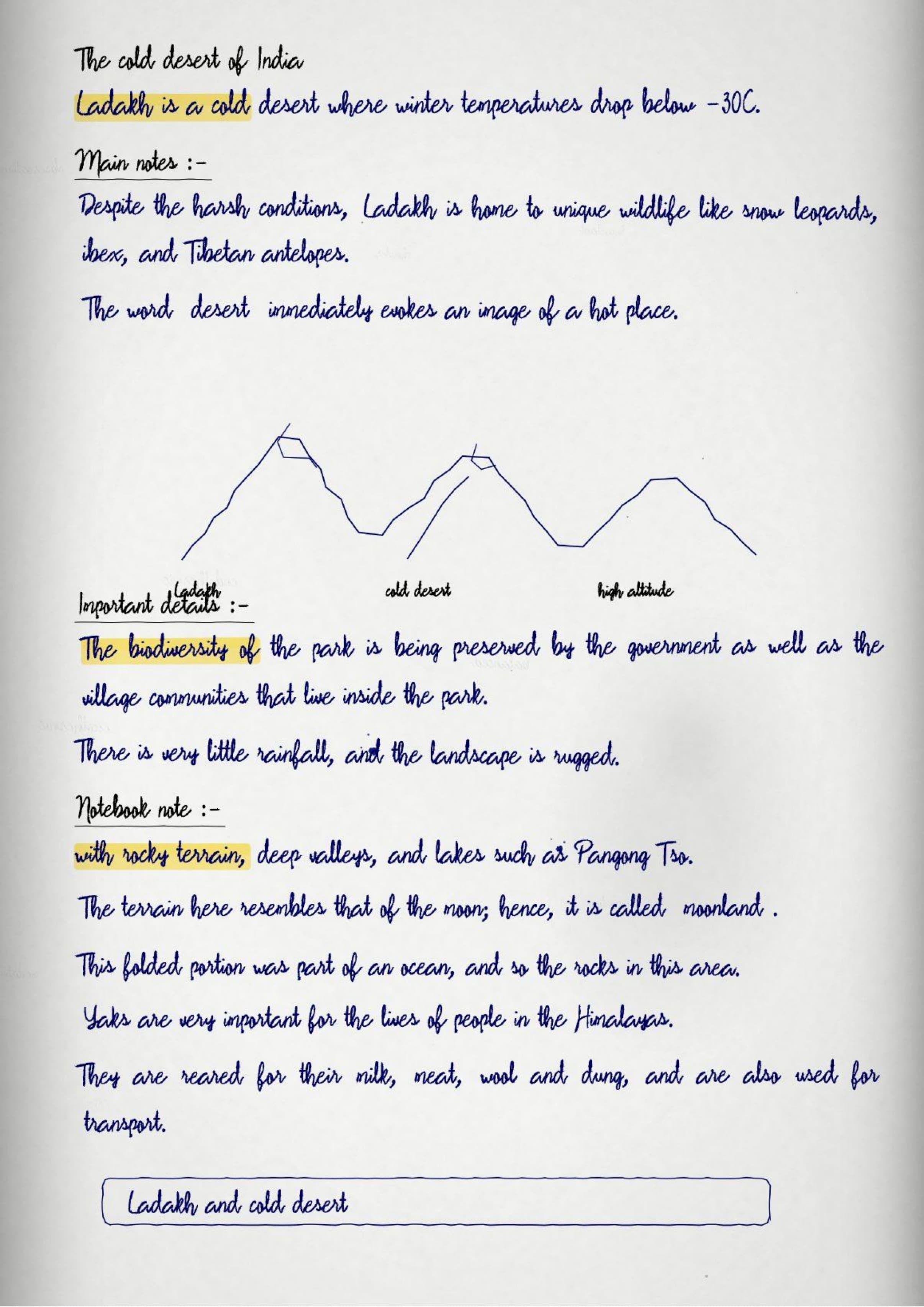
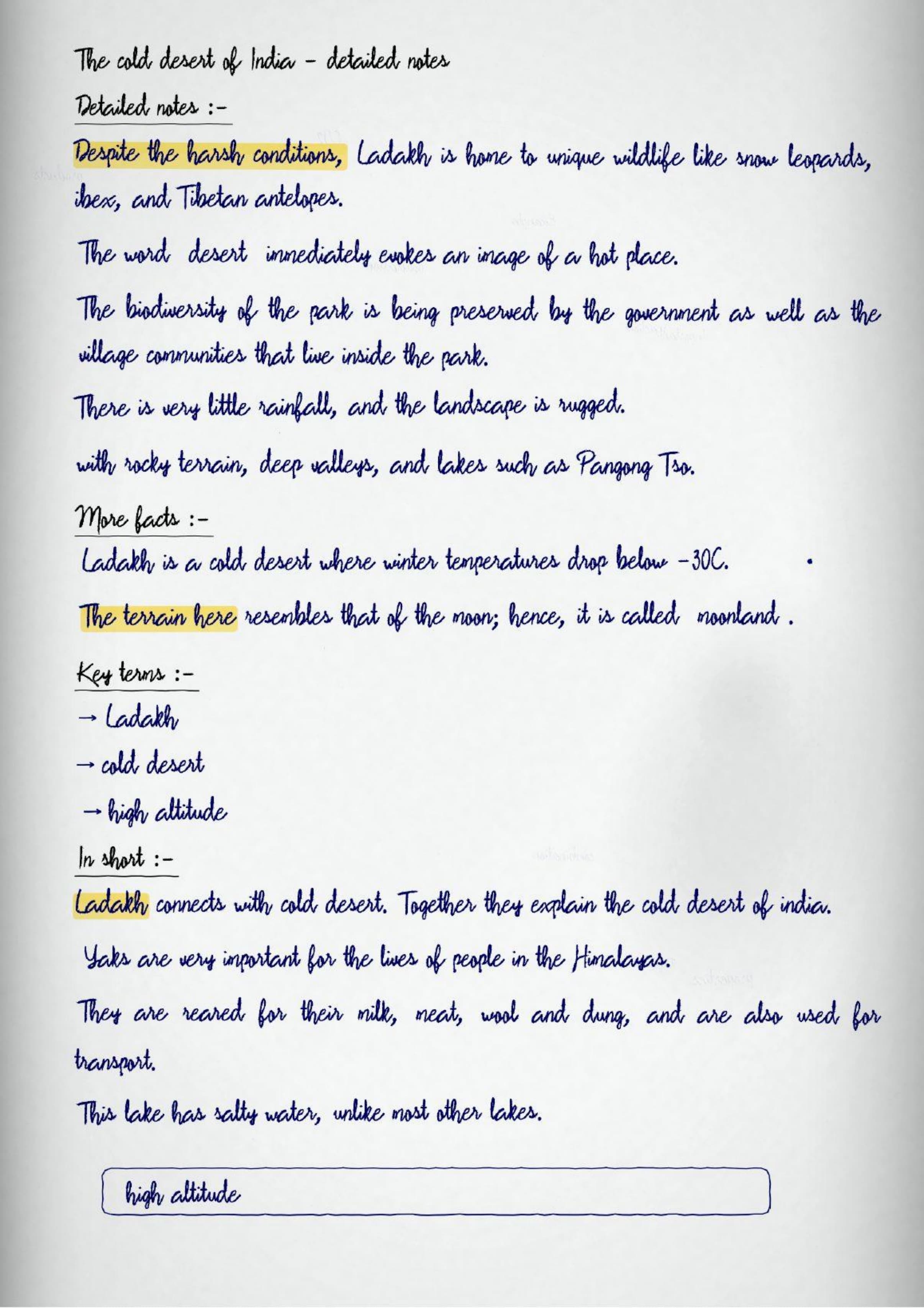
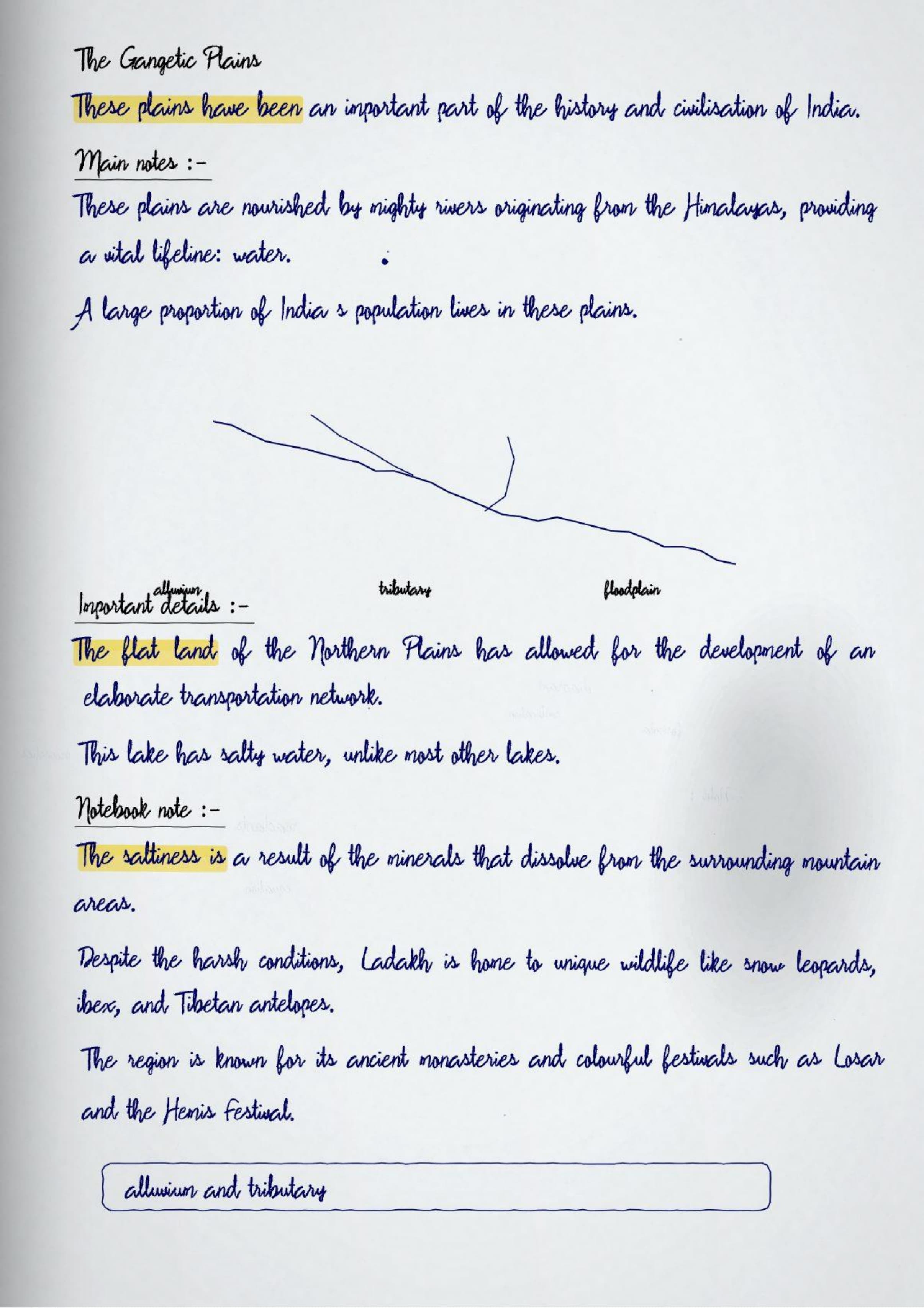
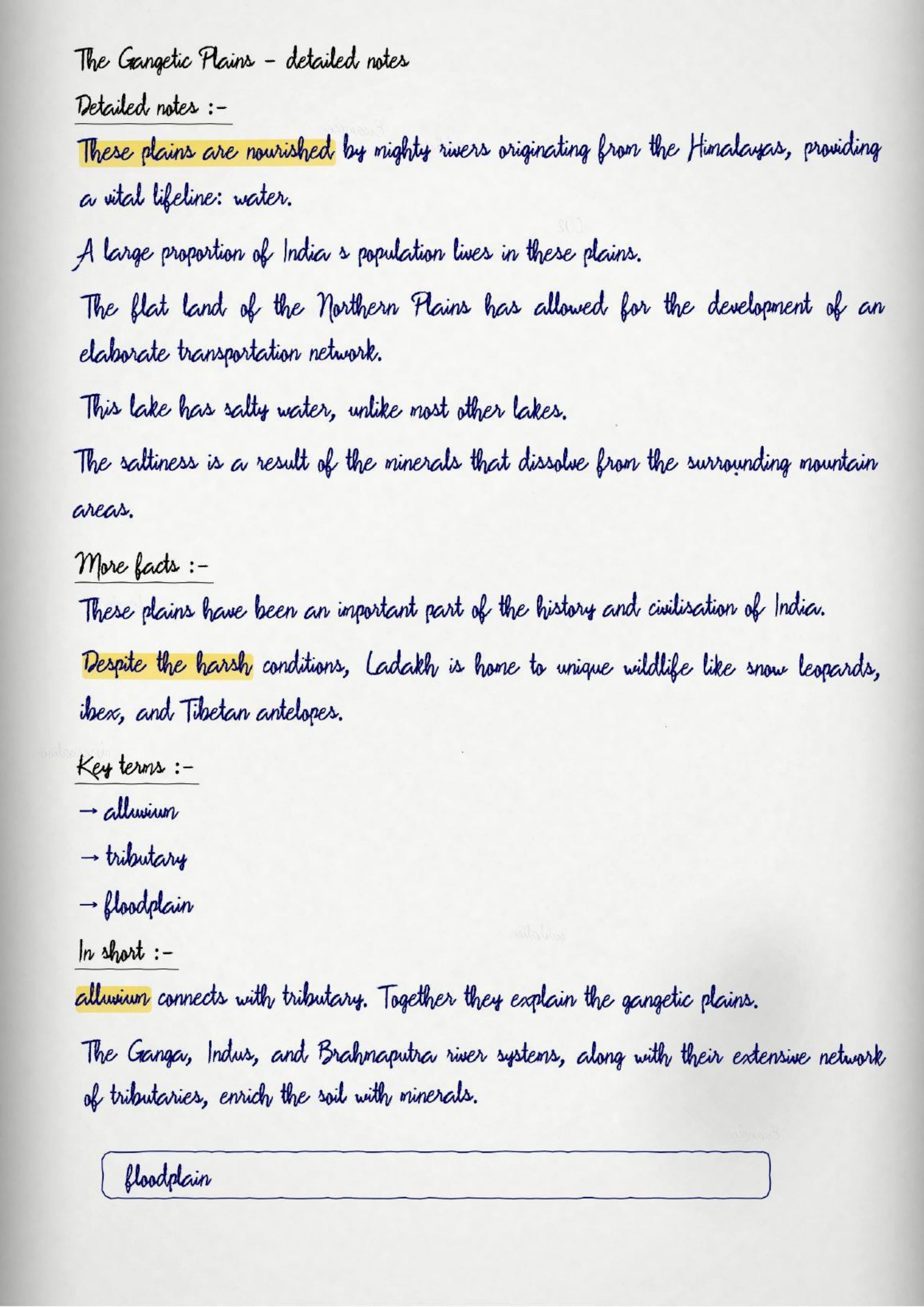
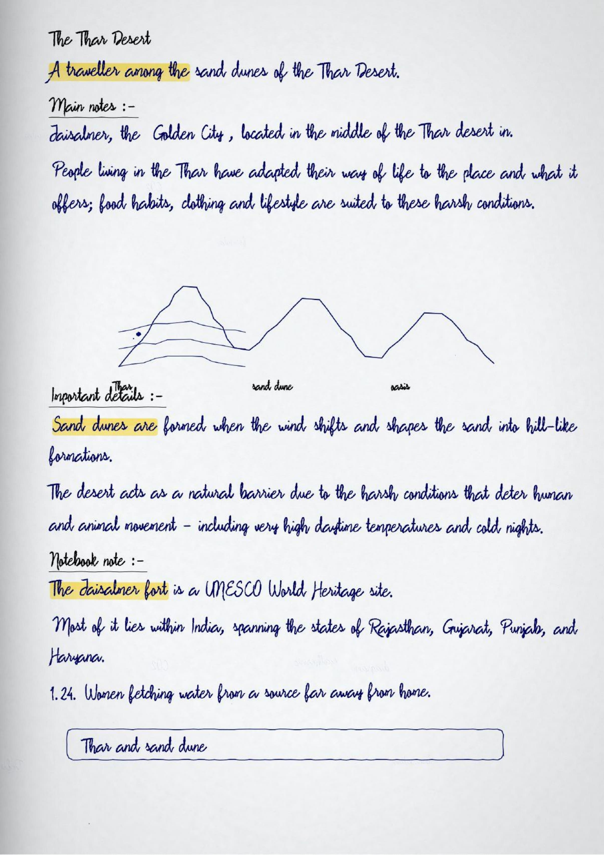
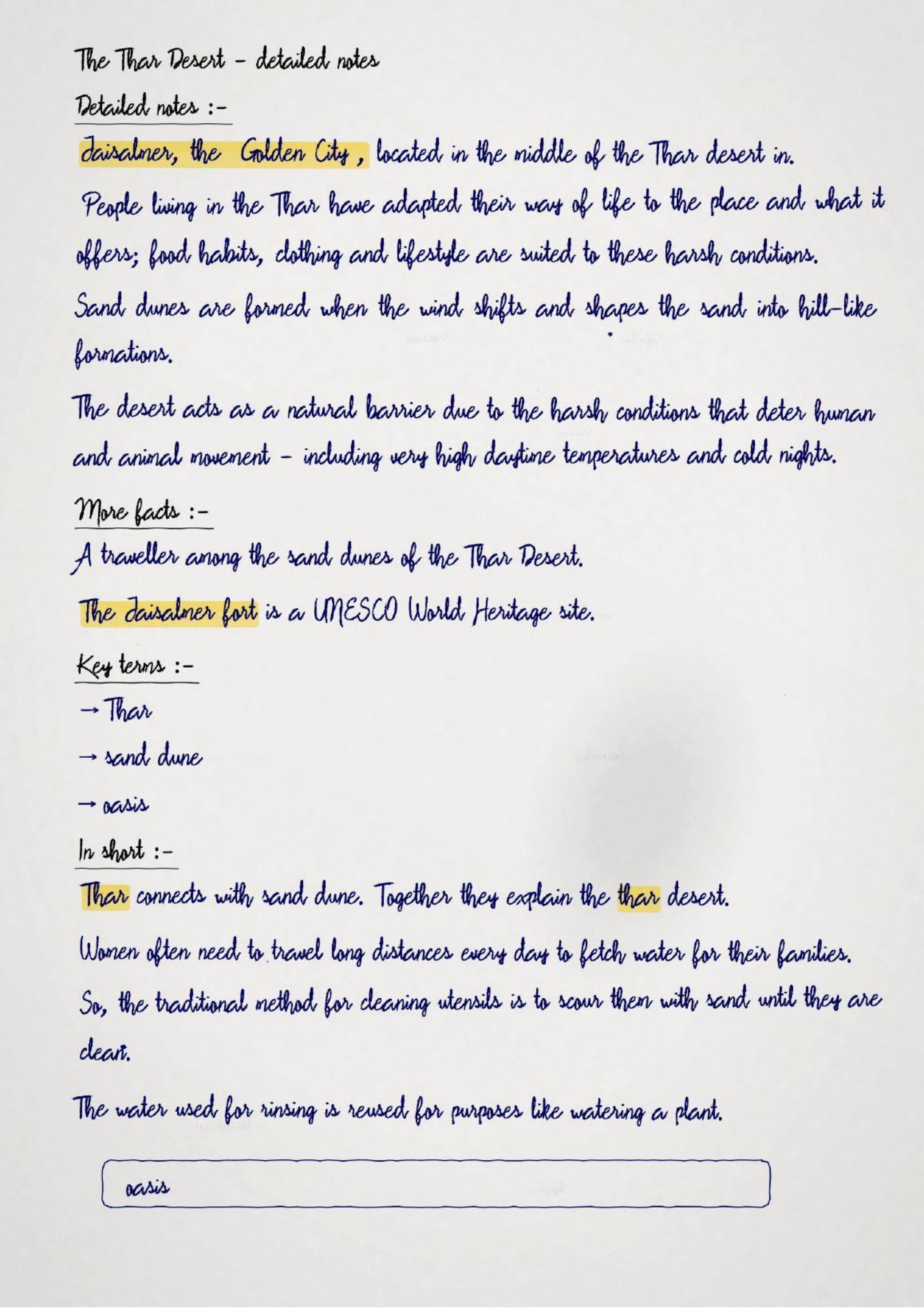
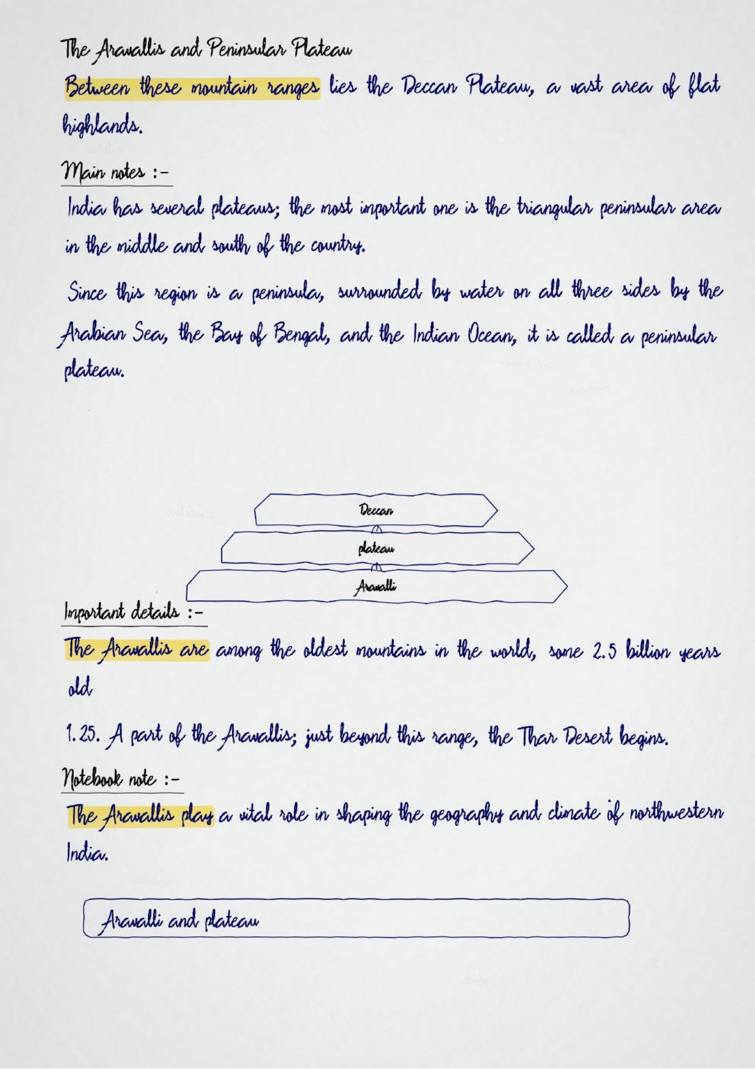
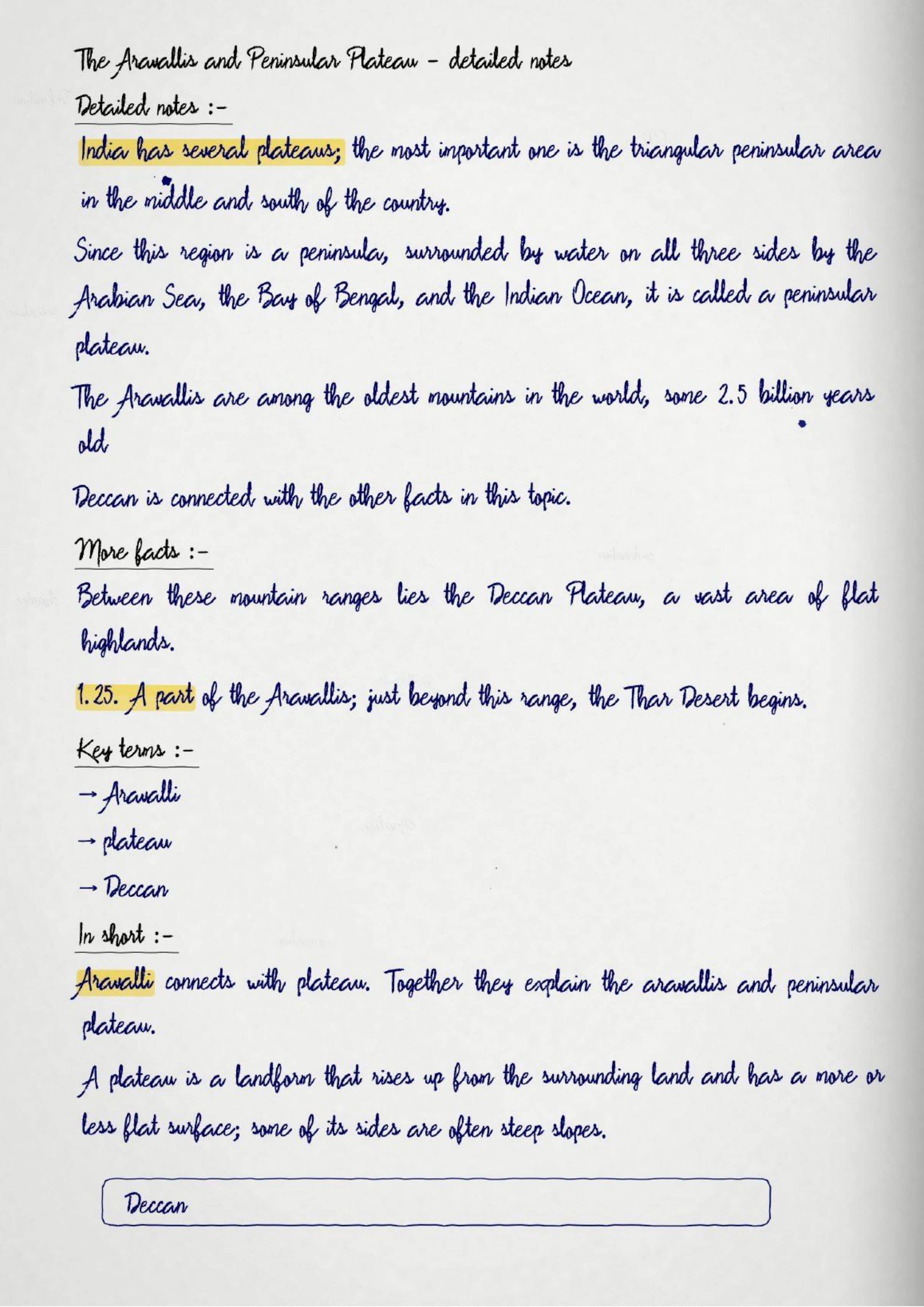
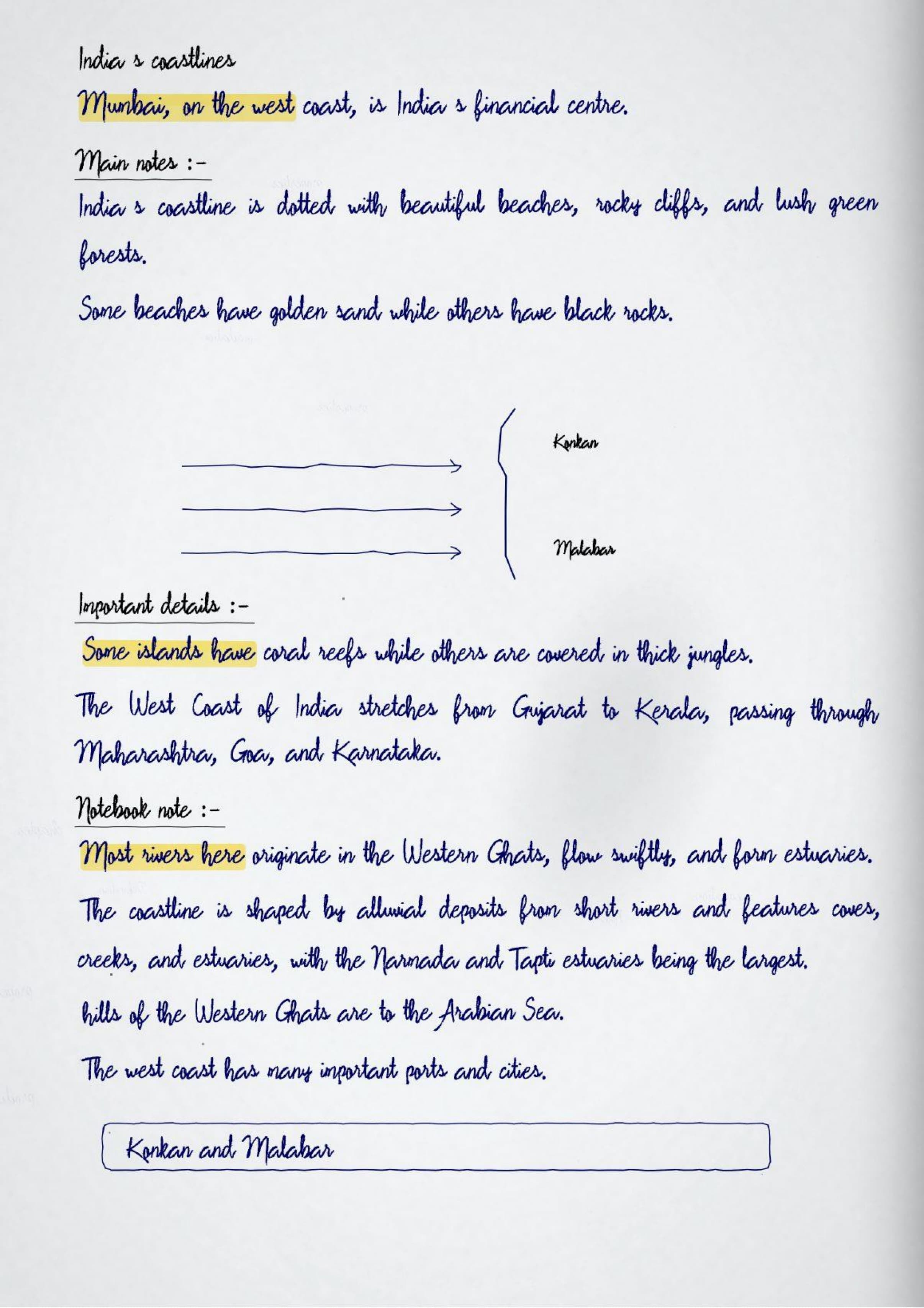
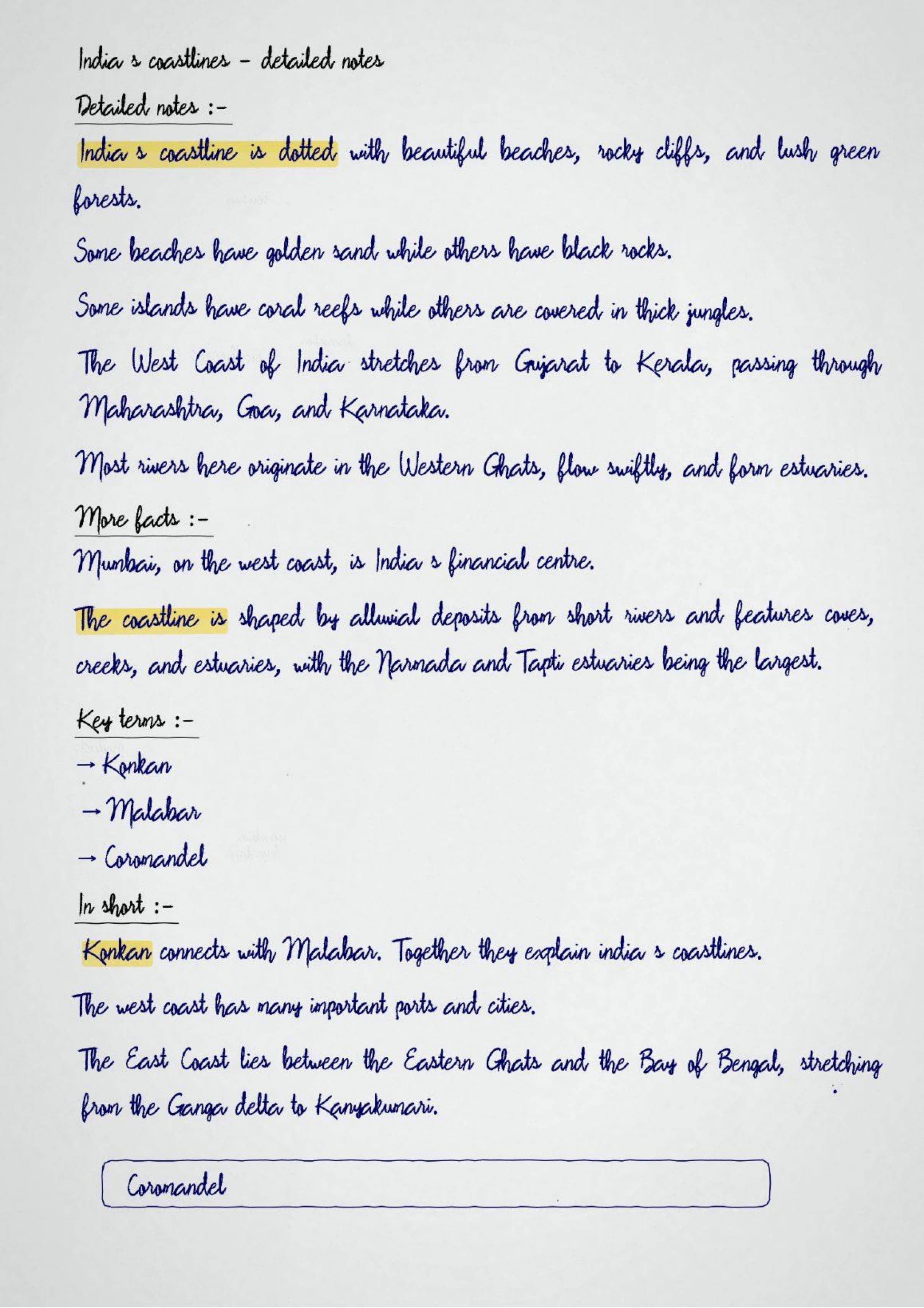
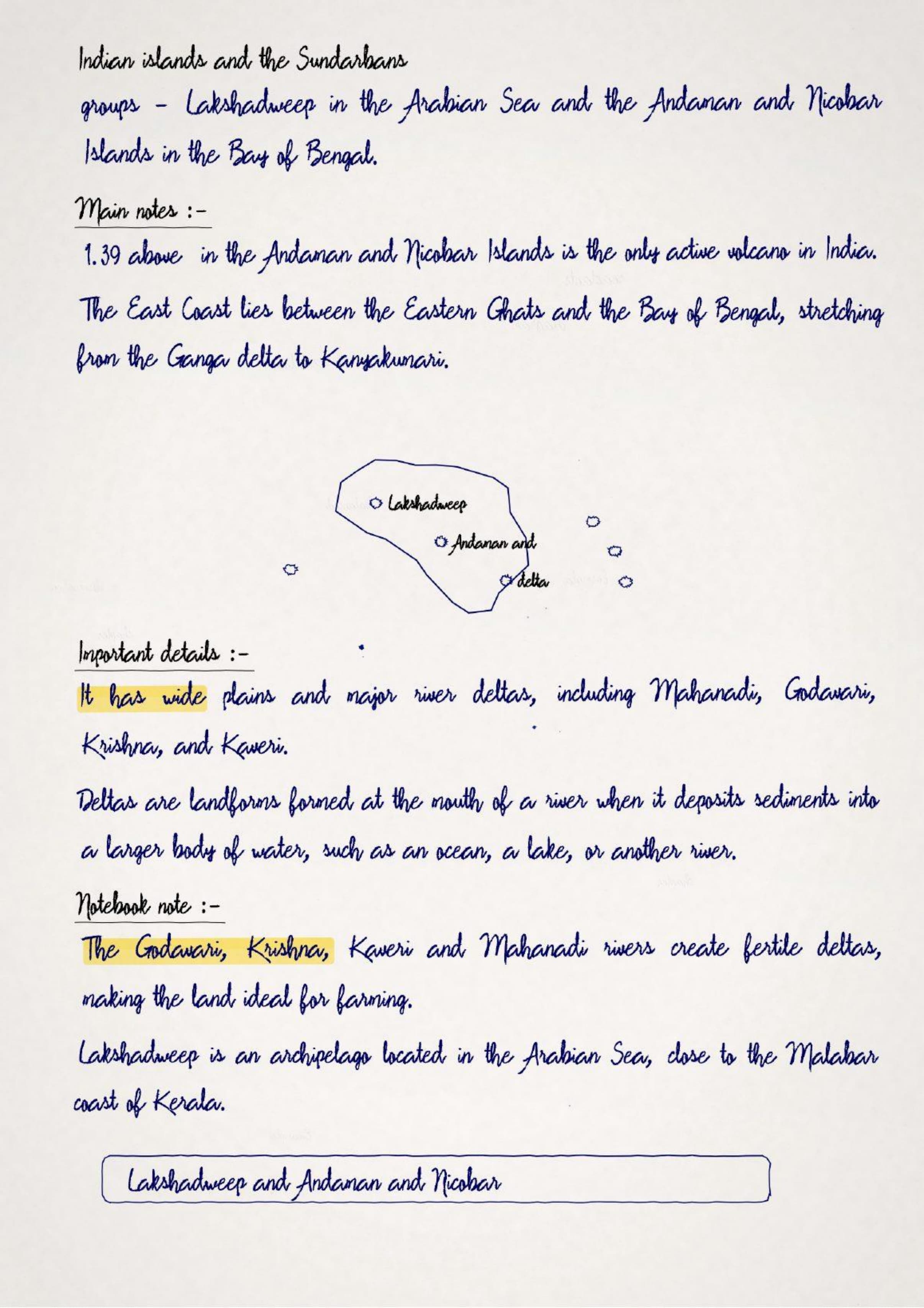
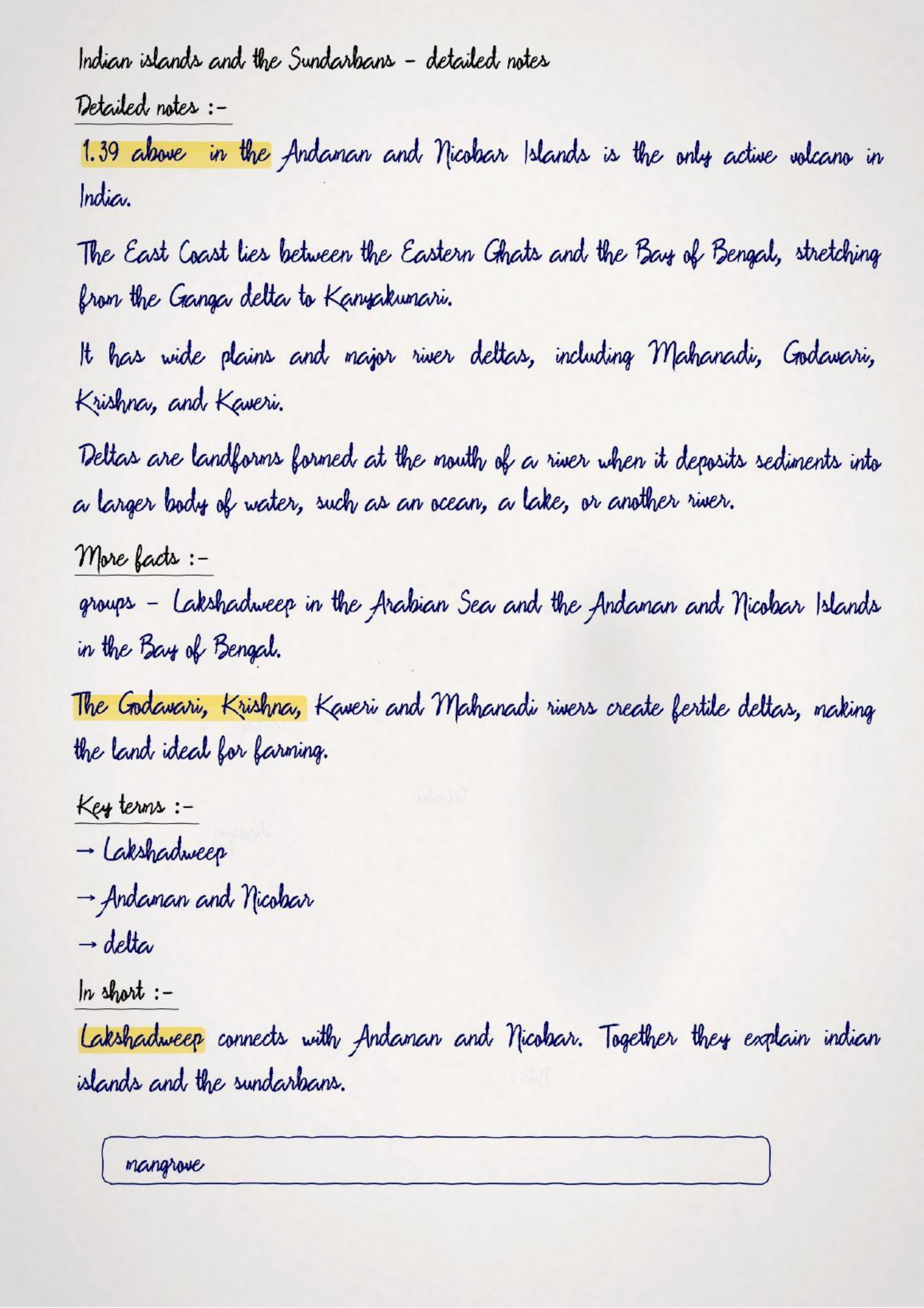
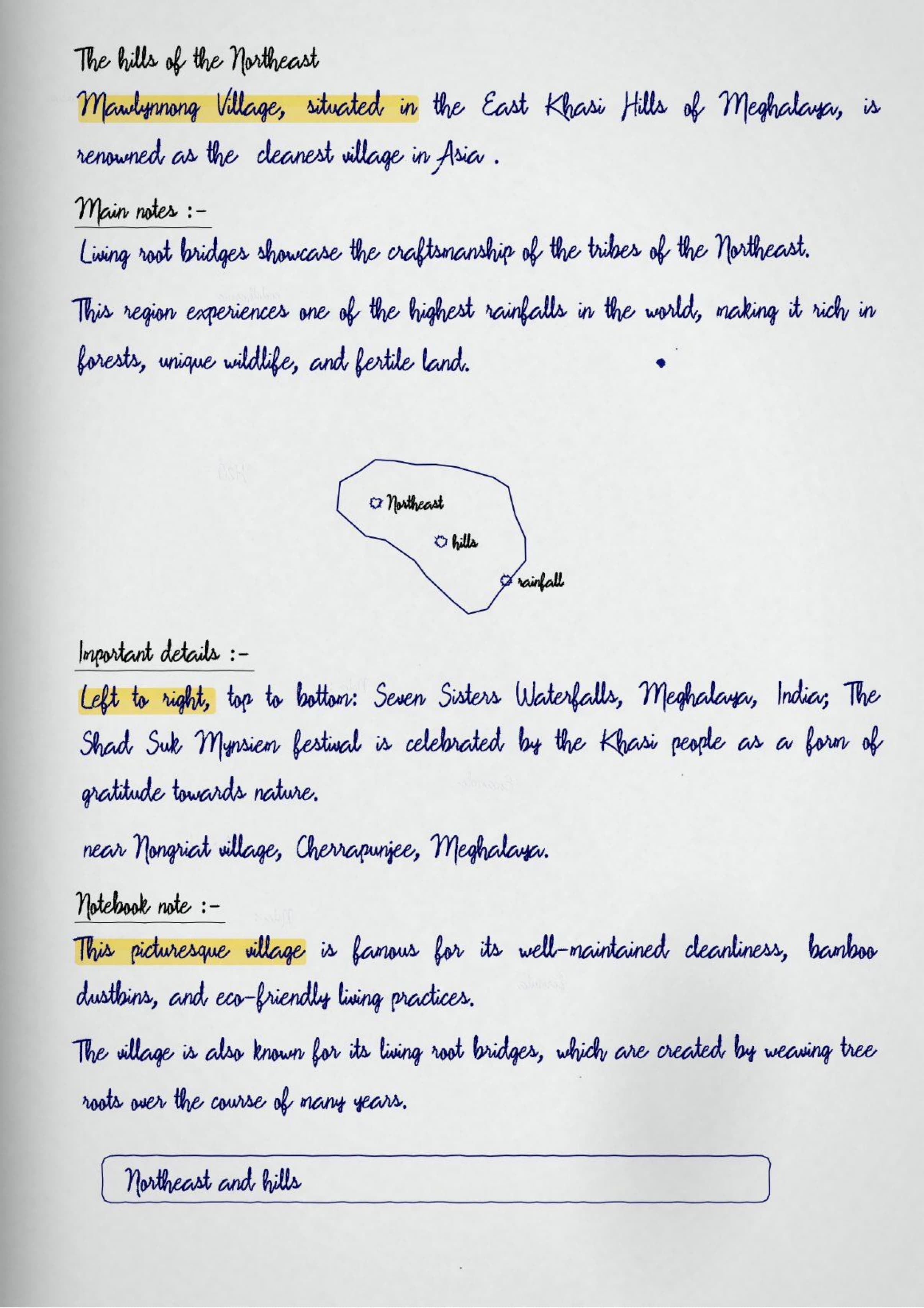
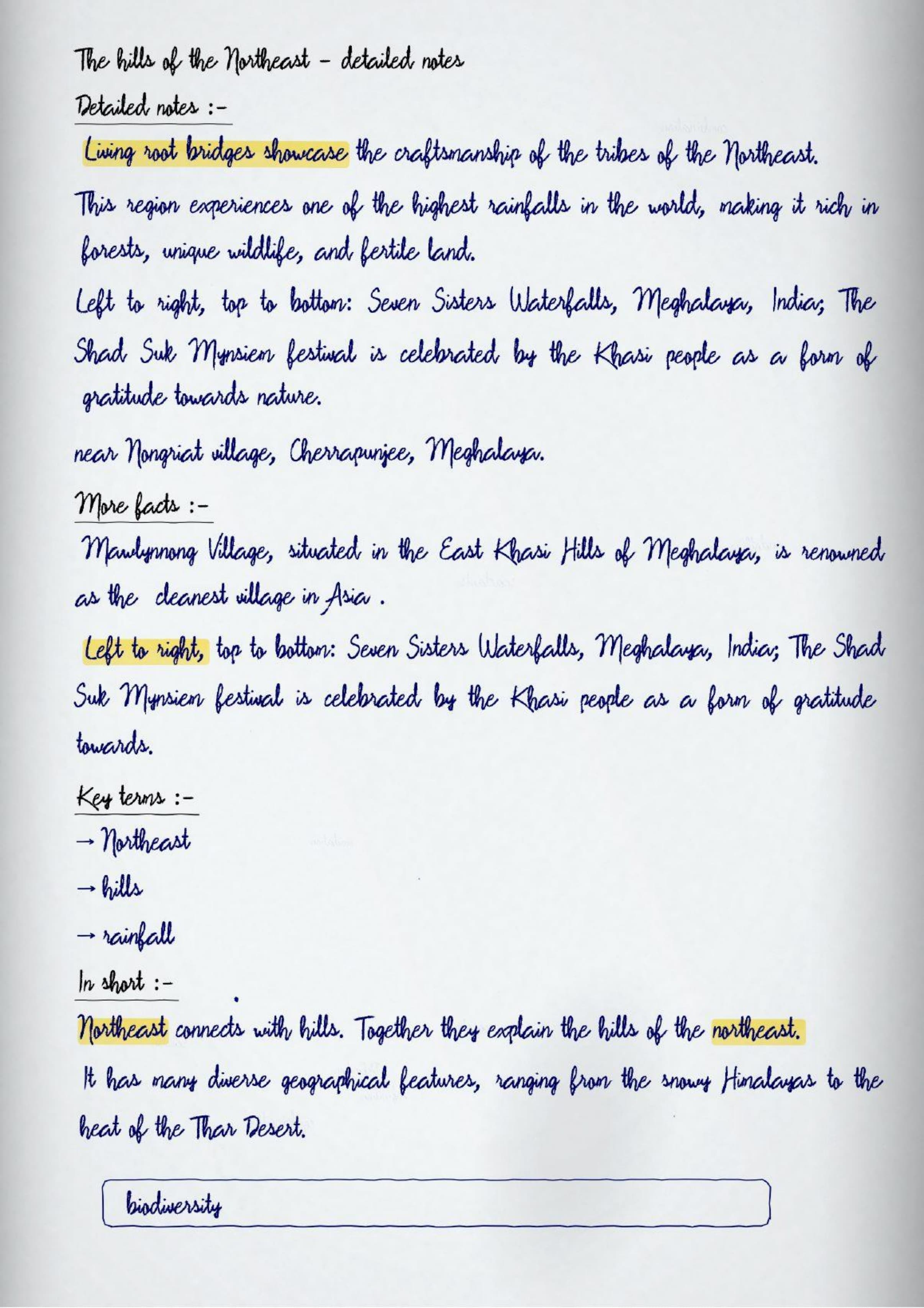
- Five regions boxed: mountains, plains, desert, peninsula and islands in one hand-drawn map
- What the notes cover: the Indian Subcontinent, the five physical regions, and how geography shaped our civilisation
- Best for: map-based questions, which carry the most marks in this chapter
You can read the complete class 7 social science handwritten notes for Geographical Diversity of India, with boxed definitions and quick recall points, in the PDF below.
These handwritten notes are written by Social Science teachers, mapped to the 2026-27 NCERT Exploring Society book, and checked against Class 7 school question papers.
How Collegedunia's Handwritten Notes Help You Revise Geographical Diversity of India
Collegedunia writes its class 7 social science handwritten notes as one clean pass through the chapter. The five regions are drawn on one outline map, so the whole country fits on a single page.
- One outline map: the five physical regions drawn and labelled together
- Region table: each region with its landform, soil and typical crops
- Neighbours strip: the seven neighbouring countries listed around a small map
- Colour-coded sub-headings: sub-topics written in red so each region is easy to find
What the Geographical Diversity of India Handwritten Notes Cover
The chapter starts with Rakesh Sharma seeing India from space. From that view it works down through the five great physical regions of the country.
- India as part of the Indian Subcontinent
- India's neighbours and the region they form
- The great mountain zone: the Himalayas
- The plains of the Ganga and the Indus
- The desert region: the Thar
- The southern peninsular plateau
- The islands of India
- How landforms shape soil, flora and fauna
- How geography shaped Indian civilisation
Geographical Diversity of India Topic-wise Weightage for CBSE Class 7 Social Science
Map work and the five regions carry the marks. Learn the regions with their features attached.
| Sub-topic | Weightage | How often asked |
|---|---|---|
| The five physical regions | High | asked often |
| Map location of major features | High | asked often |
| How geography affects daily life | High | asked often |
| The Indian Subcontinent and neighbours | Medium | asked sometimes |
| Rivers of the northern plains | Medium | asked sometimes |
| Islands of India | Low | asked rarely |
Why Geographical Diversity of India Is Worth Revising Carefully
This chapter sets up the whole geography course. Every later chapter on weather, climate and farming refers back to these regions.
- A map-marking question appears in almost every test
- The five regions with their features make a standard long answer
- Neighbouring countries are a one-mark question
- Chapters 2, 3 and the farming chapter all build on these regions
Last 24-Hour Revision Card for Geographical Diversity of India
The last-minute card for this chapter.
- India is the seventh-largest country and part of the Indian Subcontinent
- Five regions: mountains, northern plains, Thar desert, peninsular plateau, islands
- Peninsula means water on three sides
- Arabian Sea to the west, Bay of Bengal to the east
- Neighbours: Pakistan, Bangladesh, Nepal, Bhutan, Sri Lanka, Myanmar and China
Geographical Diversity of India Self-Assessment Quiz
Five questions on India's geography. Tap each to reveal.
India is the world's
(a) largest country (b) fourth-largest country (c) seventh-largest country (d) tenth-largest country
Answer: (c) seventh-largest country
Land surrounded by water on three sides is called a
(a) plateau (b) peninsula (c) plain (d) island
Answer: (b) peninsula
The Thar Desert lies in
(a) the northeast (b) the northwest (c) the south (d) the islands
Answer: (b) the northwest
Which sea lies to the west of the Indian peninsula?
(a) Bay of Bengal (b) Arabian Sea (c) Indian Ocean only (d) Red Sea
Answer: (b) Arabian Sea
Which of these is a neighbour of India?
(a) Thailand (b) Nepal (c) Indonesia (d) Iran
Answer: (b) Nepal
Key Terms and Ideas in Geographical Diversity of India
Geography answers need the exact term, so learn each of these in one line.
| Term / Idea | What it means |
|---|---|
| Subcontinent | a large landmass that is part of a continent but distinct within it |
| Plateau | a raised area of fairly level land |
| Peninsula | land surrounded by water on three sides |
| Plain | a large area of flat, low-lying land |
| Relief | the differences in height across a piece of land |
| Flora | the plant life of a region |
| Fauna | the animal life of a region |
Diagrams Drawn by Hand in the Geographical Diversity of India Notes
Geography is a visual subject, and the notes lean fully on drawings.
| Figure drawn by hand | What it shows |
|---|---|
| Outline map of India | the five physical regions shaded and labelled |
| Neighbours map | the Indian Subcontinent with the seven neighbours marked |
| Relief cross-section | a north to south slice showing mountains, plains and plateau |
| Region table | landform, soil and crops for each of the five regions |
| River sketch | the Ganga and Indus systems drawn simply |
How to Use These Handwritten Notes for Social Science Revision
Use these class 7 social science handwritten notes in two passes. Work with the map open. Names stick when you can point at them.
- Draw an outline map and mark the five regions
- List India's seven neighbours from the map
- Write one line on how each region affects the life of people there
- Before the test, revise the outline map and the region table
Other Social Science Resources for Geographical Diversity of India
Read the notes with the solved questions and the Exploring Society chapter itself.
- Class 7 Social Science NCERT Solutions
- Class 7 Social Science Revision Notes
- Class 7 Exploring Society Book PDF
Class 7 Social Science Handwritten Notes for All Chapters
Exploring Society Part 1 has twelve chapters and Part 2 has eight. The table below links the class 7 social science handwritten notes for every chapter.
Geographical Diversity of India Class 7 Social Science Handwritten Notes FAQs
Ques. Where can I download the Geographical Diversity of India Class 7 Handwritten Notes PDF?
Ans. The PDF is on this page, free, in both the normal and the HD version.
Ques. What are the five physical regions of India?
Ans. The great mountain zone, the plains of the Ganga and the Indus, the desert region, the southern peninsular plateau, and the islands.
Ques. How many pages is the Part 1 Chapter 1 handwritten notes PDF?
Ans. It runs 20 pages, with an outline map, the region table and a quiz.
Ques. Why is India called a subcontinent?
Ans. Because it is a large, distinct landmass within the continent of Asia, separated by the Himalayas and the seas, with its own geography and climate patterns.
Ques. How does geography affect life in India?
Ans. The landforms decide the soil, the rivers and the rainfall. Those in turn decide which crops grow, where people settle, and the traditions that develop in each region.



Comments