




The NCERT Solutions for Class 12 Geography (India: People and Economy) Chapter 6 Planning and Sustainable Development in Indian Context solve all 3 exercise questions for the 2026-27 CBSE syllabus. Answers follow the textbook order: regional planning, the ITDP case study in Bharmaur, the Indira Gandhi Canal Command Area, and sustainable development.
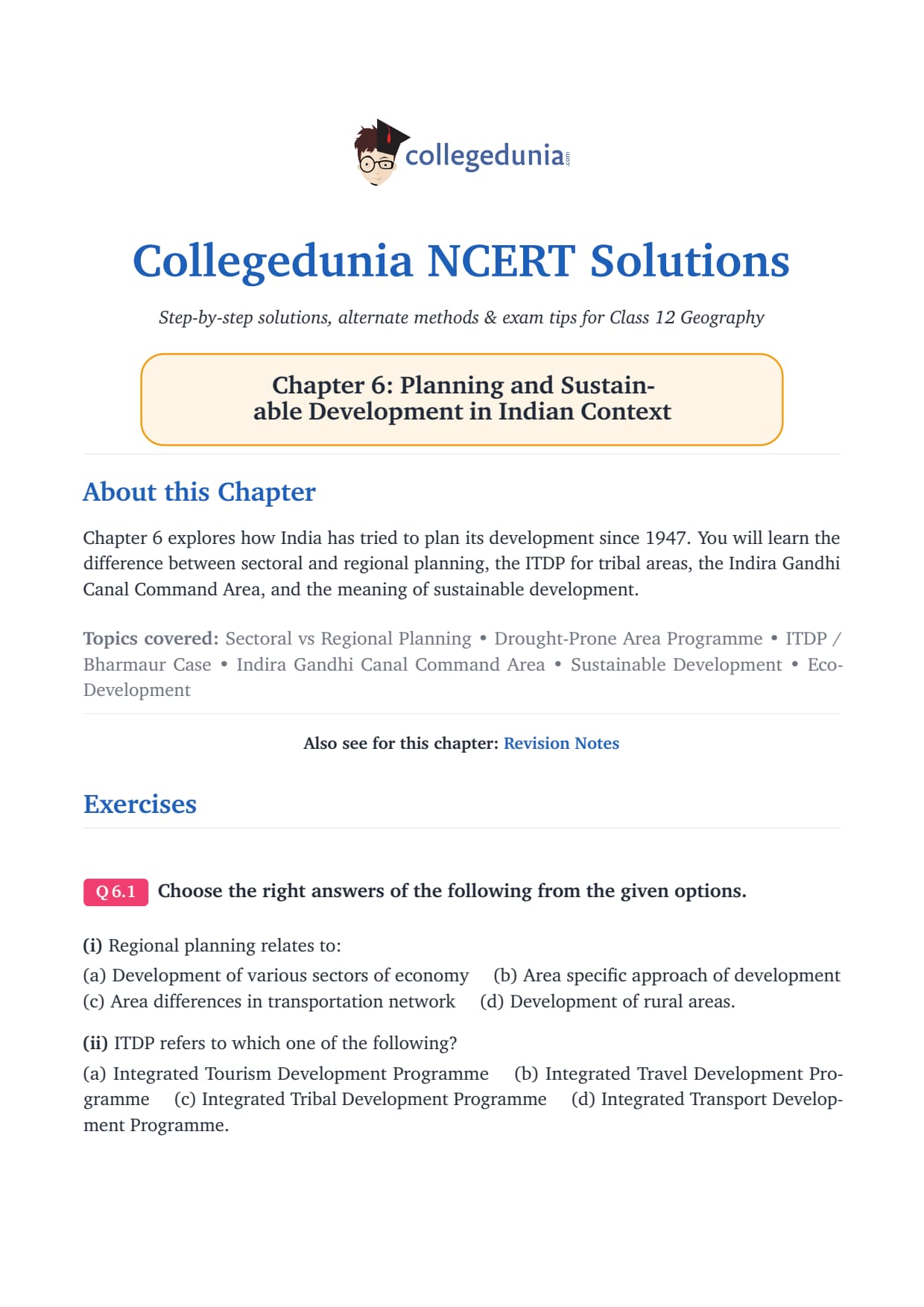
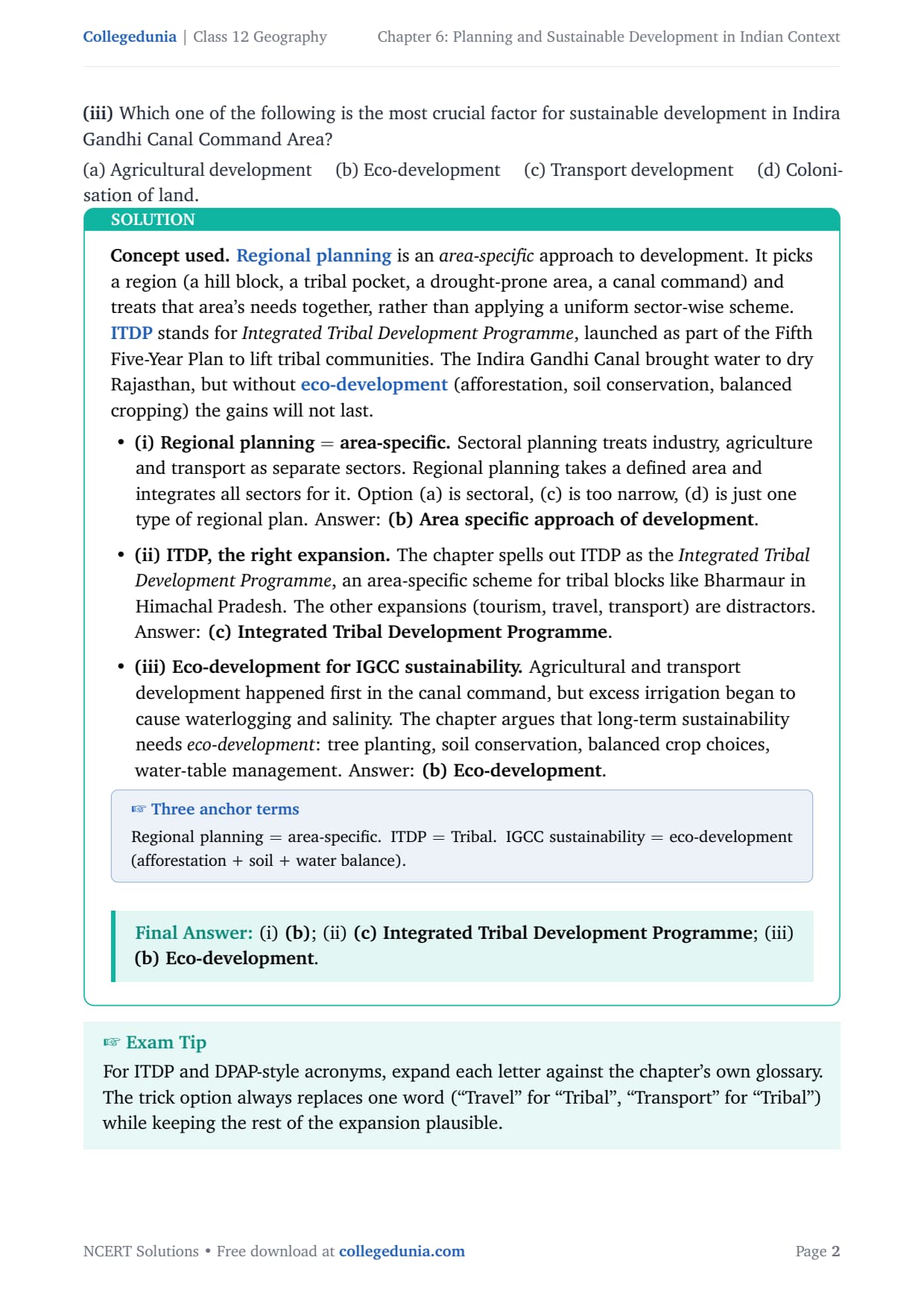
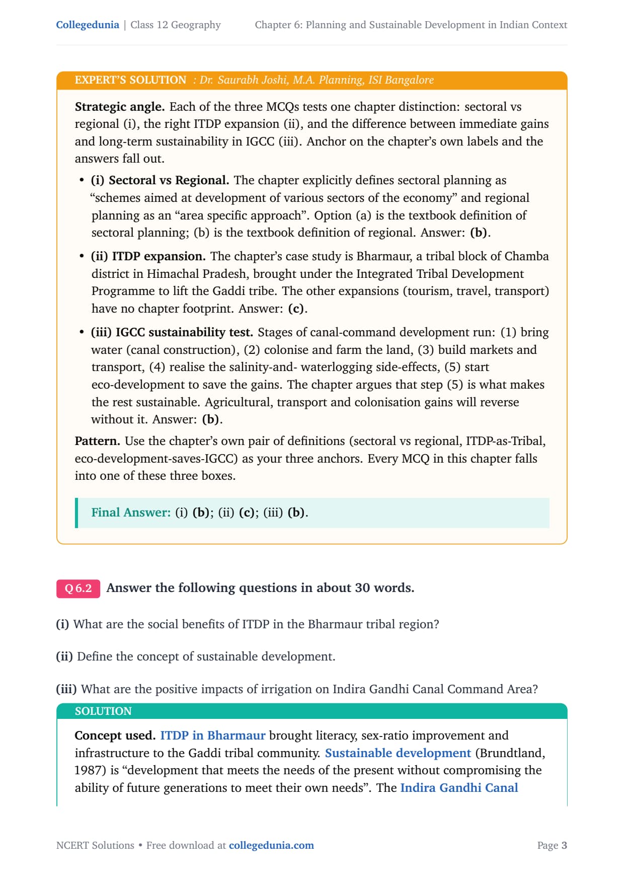
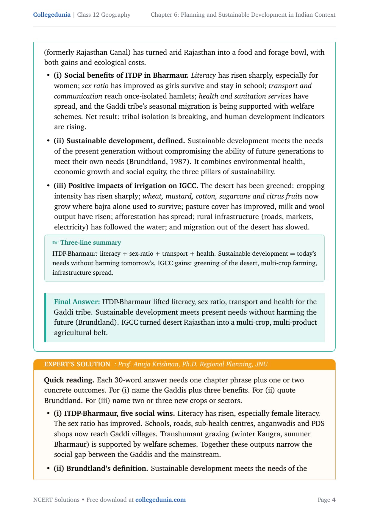
- All 3 NCERT exercise questions solved in plain prose and bullets, with an Expert's Solution per question for exam strategy and board-paper links.
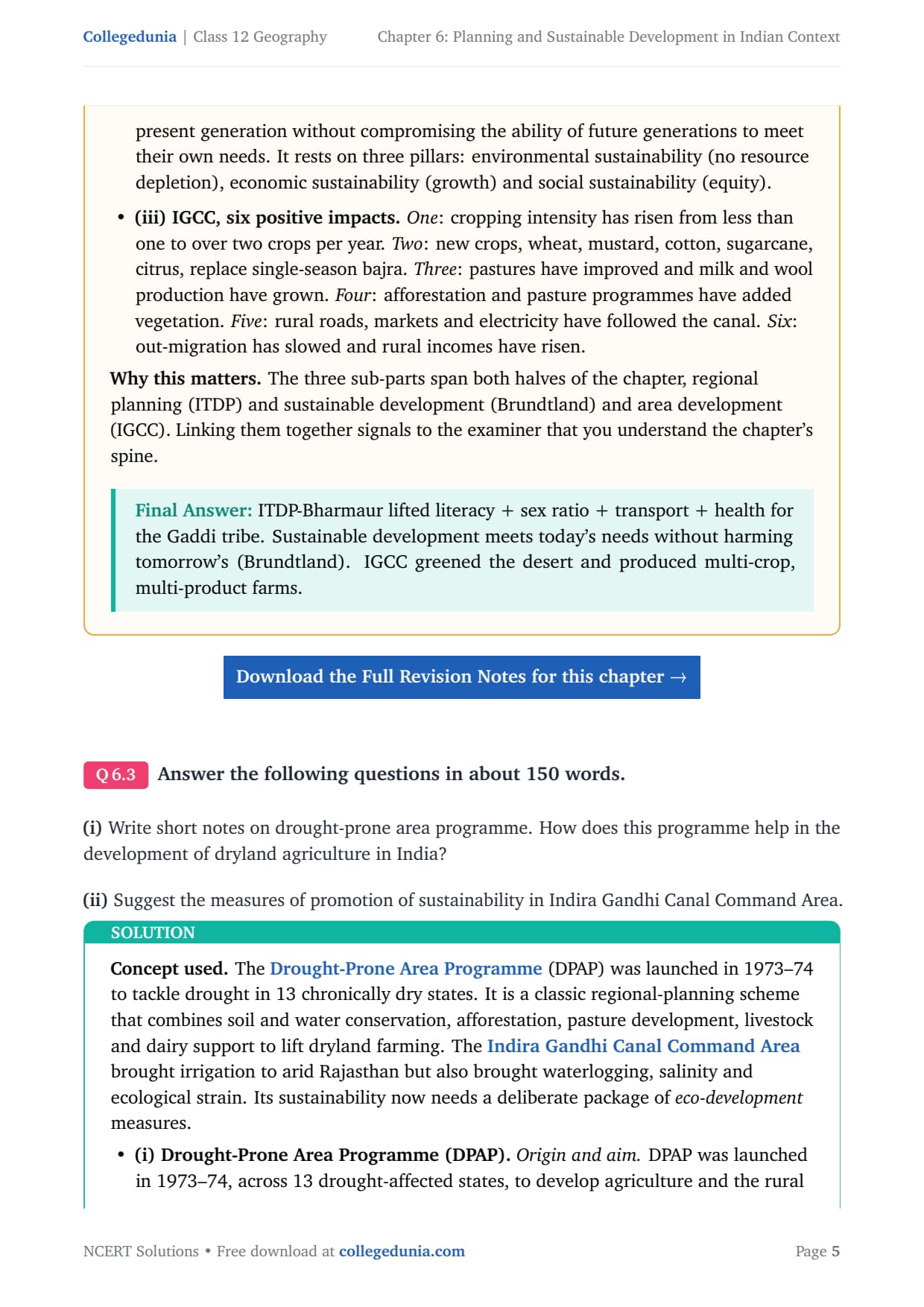
- Full coverage of sectoral vs regional planning, the Drought-Prone Area Programme, ITDP in Bharmaur, the Indira Gandhi Canal Command Area, and the Brundtland definition.
- Aligned to the 2026-27 CBSE Class 12 Geography syllabus and CUET patterns; no JEE or NEET references, as Geography is a Humanities subject.
Every answer in this Collegedunia compilation is curated by Geography experts, mapped to the 2026-27 NCERT textbook, and checked against the last five years of CBSE board papers.
Student Feedback
68% of students rated this as one of the most case-study-heavy chapters, and 3 out of 4 found the ITDP Bharmaur case study and the seven IGCC sustainability measures hardest to recall. Toppers said naming specific ITDP benefits and listing all seven measures added 2 to 3 marks in board answers.
What the NCERT Solutions for Class 12 Geography Chapter 6 Cover
This chapter covers how India has planned its development since Independence and what makes it sustainable, across three themes: planning approaches (sectoral vs regional), target area programmes (the ITDP in Bharmaur), and sustainable development in the Indira Gandhi Canal Command Area.
Source: Magnet Brains on YouTube
Exercise-wise Breakdown: Chapter 6 Planning and Sustainable Development NCERT Solutions
Chapter 6 carries 3 end-of-chapter exercise questions mixing MCQs, 30-word short answers and 150-word long answers. The table below maps each question to its topic, answer style and typical marks.
| Question | Topic covered | Answer style | Typical marks |
|---|---|---|---|
| Q1 | MCQs on regional planning, ITDP expansion and IGCC sustainable factor | 3 MCQs, one answer each with reasoning | 3 marks |
| Q2 | 30-word short answers: ITDP social benefits, sustainable development definition, IGCC positive irrigation impacts | Plain prose, one or two sentences per sub-part | 6 marks |
| Q3 | 150-word essays: drought-prone area programme and dryland farming; IGCC sustainability measures | Structured prose with bullets per sub-part | 8 marks |
Q3 is the mark-heavy question, roughly 8 marks across two sub-parts. Name the components of the Drought-Prone Area Programme and list all seven sustainability measures to score full marks.
Planning in India: Sectoral vs Regional Planning
India adopted centralised planning after Independence under the Planning Commission (now NITI Aayog), in two forms. The difference is the most-asked one-mark question.
What Is Sectoral Planning?
Sectoral planning develops separate sectors of the economy (agriculture, manufacturing, transport, power, services) across the whole country. The focus is the sector, not a geography.
What Is Regional Planning?
Regional planning is an area-specific approach of development: it picks a region (a hill district, a drought-prone block or a canal command) and plans all sectors for it together. That phrase is the MCQ answer. It became necessary because India's growth has been spatially uneven, so planners targeted backward areas to reduce imbalances.
Target Area Planning and Key Programmes
Target area planning focuses resources on areas left behind despite national growth. Two key programmes from the chapter are the Hill Area Development Programme and the Drought-Prone Area Programme.
Hill Area Development Programme
Launched in the Fifth Five Year Plan, it covered 15 hill districts (then-Uttar Pradesh hills, the Mikir and North Cachar Hills of Assam, Darjeeling and the Nilgiris). It targeted horticulture, plantation crops, animal husbandry, forestry and small village industries suited to each hill area.
Drought-Prone Area Programme
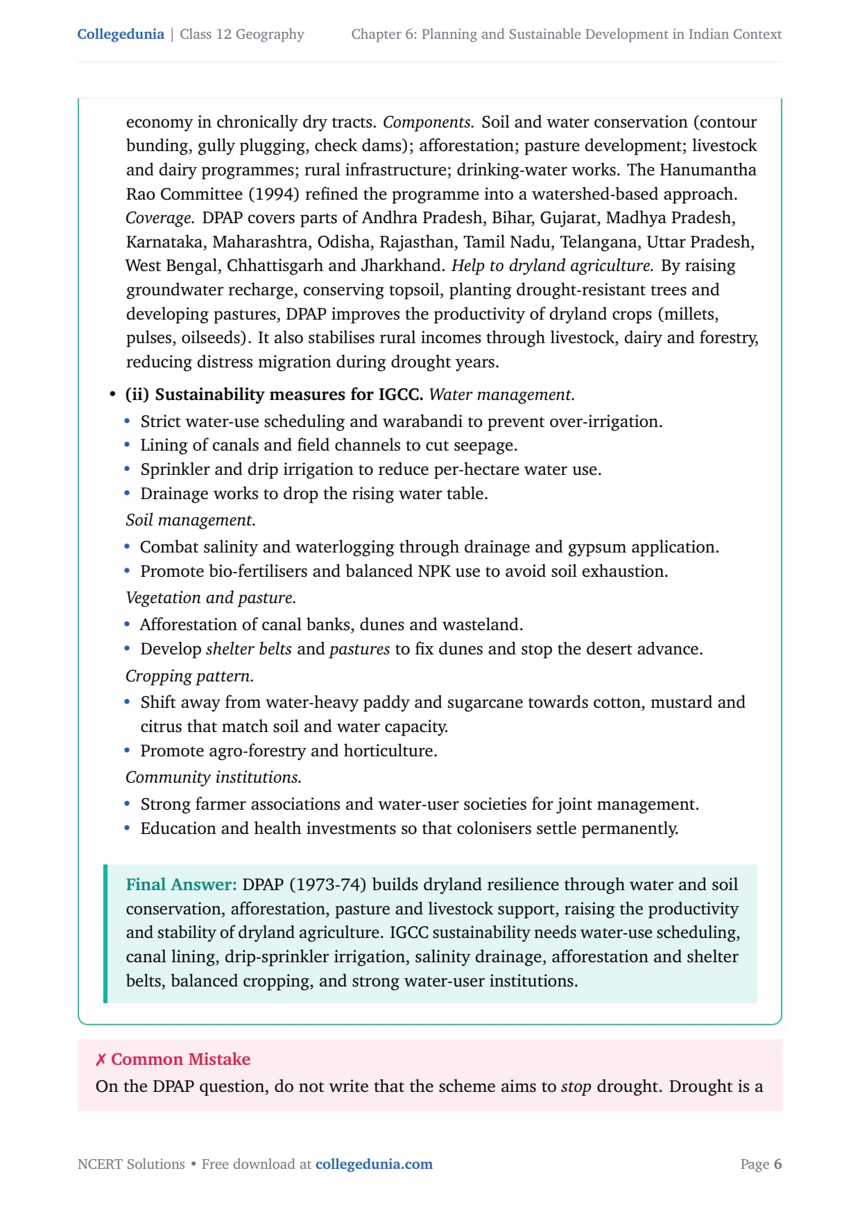
The Drought-Prone Area Programme (DPAP) began in the Fourth Five Year Plan to create jobs and productive assets in dry areas. It later moved to integrated watershed development and supports dryland farming by raising groundwater, conserving topsoil and planting drought-resistant species. It covers parts of Rajasthan, Gujarat, Maharashtra, Andhra Pradesh, Karnataka and Tamil Nadu.
ITDP: The Bharmaur Case Study
The main case study is the Integrated Tribal Development Programme (ITDP) in Bharmaur, Chamba district, Himachal Pradesh, home to the Gaddi tribe who practise transhumance. Before ITDP, its harsh winters and low resource base kept literacy (especially female) and the sex ratio very low.
Social Benefits of ITDP in Bharmaur
- Literacy has risen sharply, especially female literacy.
- Sex ratio has improved as girls stay in school longer.
- Transport and communication now connect once-isolated villages to markets.
- Health and sanitation (sub-health centres, PDS shops) reach Gaddi settlements.
- The Gaddi tribe's transhumance is supported by welfare schemes.
Indira Gandhi Canal Command Area and Sustainable Development
The second case study is the Indira Gandhi Canal (IGCC), formerly the Rajasthan Canal. Fed from the Harike Barrage on the Sutlej-Beas, it brought perennial irrigation to the Thar Desert across Ganganagar, Hanumangarh, Bikaner, Jaisalmer, Barmer, Jodhpur, Nagaur and Churu.
Positive Impacts of Irrigation in the IGCC Command Area
- Cropping intensity has risen sharply; land that grew only bajra now yields two or more crops a year.
- New crops (wheat, mustard, cotton, sugarcane, citrus fruits) replace sparse desert scrub.
- Pasture cover, milk and wool output have grown, and rural roads, markets and electricity followed the canal.
- Out-migration has slowed and rural incomes have risen.
The Ecological Problems: Why Sustainability Matters
Excess irrigation and poor drainage have caused waterlogging and soil salinity: a rising water table pushes salt into the root zone and crops fail, while destabilised sand dunes drift onto farmland. These problems can reverse all the gains if not checked.
Seven Measures to Promote Sustainable Development in IGCC
The chapter lists seven sustainability measures; memorise all seven for the 150-word essay. Tip: eco-development is the most crucial factor and the answer to MCQ (iii).
| # | Measure | What it targets |
|---|---|---|
| 1 | Strict implementation of water management policy; protective irrigation in Stage-I, pasture development in Stage-II | Over-irrigation, rising water table |
| 2 | Cropping pattern shall not include water-intensive crops; encourage citrus and plantation crops | Excess water use |
| 3 | CAD programmes: lining of water courses, land development, levelling and warabandi (equal distribution of canal water) | Conveyance loss of water |
| 4 | Reclamation of areas affected by waterlogging and soil salinity | Salinised and waterlogged land |
| 5 | Eco-development through afforestation, shelterbelt plantation and pasture development, especially in Stage-II | Sand dune movement and ecological degradation |
| 6 | Provide adequate financial and institutional support to land allottees with poor economic background | Social sustainability |
| 7 | Diversify the economic base beyond agriculture to include other sectors; build functional linkages between villages, agro-service centres and market centres | Economic sustainability |
Measures 1 to 5 restore ecological balance, measure 6 is social and measure 7 is economic sustainability, matching the Brundtland three-pillar framing.
The Brundtland Definition of Sustainable Development
Sustainable development is "development that meets the needs of the present generation without compromising the ability of future generations to meet their own needs" (Brundtland Commission, 1987). Its three pillars are environmental, economic and social. Quote this definition and name the pillars whenever asked to define it.
Common Mistakes Students Make in Chapter 6 Answers
The five repeat-offender mistakes in Chapter 6 board answers:
- Confusing ITDP and IRDP: ITDP is the Integrated Tribal Development Programme (Bharmaur), not the Integrated Rural Development Programme.
- Calling IGCC sustainable because of agriculture: the most crucial factor is eco-development, not agricultural development.
- Missing the Brundtland year: always write "Brundtland Commission, 1987".
- Confusing sectoral and regional planning: regional is area-specific, sectoral is sector-specific (tested in MCQ (i)).
- Writing only three or four of the seven sustainability measures: the board expects all seven for full marks in Q3(ii).
Previous Year Question Trends from Chapter 6
Chapter 6 appears in CBSE Geography papers every year, with a stable, predictable pattern shown below.
| Year | Question type asked | Marks |
|---|---|---|
| 2025 | Define sustainable development. Suggest any three measures for sustainable development in Indira Gandhi Canal Command Area. | 5 |
| 2024 | What is regional planning? How does it differ from sectoral planning? | 3 |
| 2023 | Describe the social benefits of ITDP in Bharmaur tribal region. | 3 |
| 2022 | What are the positive impacts of irrigation in Indira Gandhi Canal Command Area? Suggest measures for ecological sustainability. | 5 |
| 2021 | Define Drought-Prone Area Programme. How does it help dryland farming? | 3 |
Also Check: ITDP benefits, the Brundtland definition and IGCC sustainability measures cover roughly 80% of what gets asked from this chapter.
Other Resources for Class 12 Geography Chapter 6 Planning and Sustainable Development
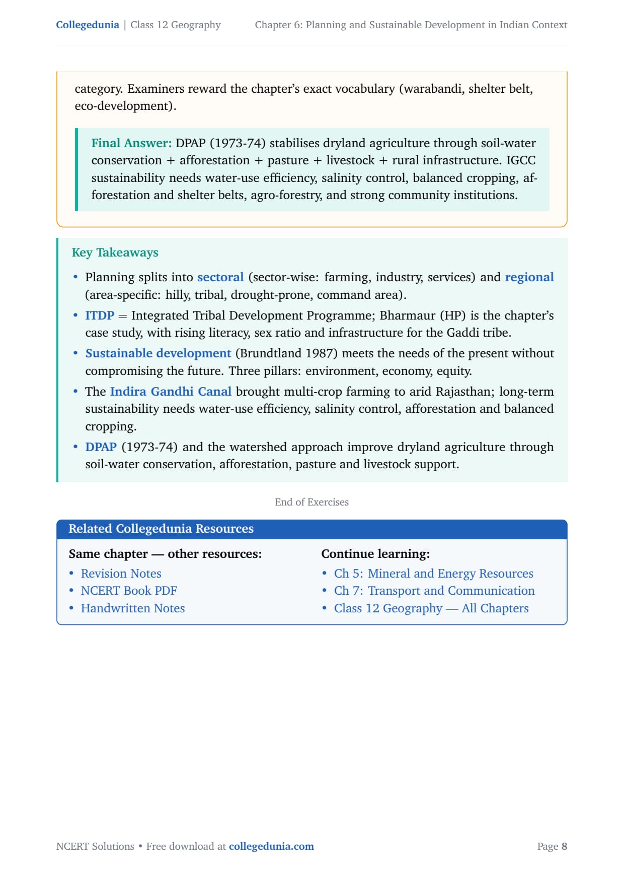
Pair this NCERT Solutions PDF with the matching revision notes, topper's handwritten revision pages and the official NCERT book chapter, all linked below.
| Resource | What it covers | Open |
|---|---|---|
| NCERT Solutions | Step-by-step answers to all 3 exercise questions, with Expert's Solution alternatives. | You are here |
| Notes | Concept-first revision notes covering regional planning, ITDP Bharmaur, IGCC and sustainable development. | Class 12 Geography Chapter 6 Notes |
| Handwritten Notes | Topper's handwritten revision pages for last-minute board exam practice. | Class 12 Geography Chapter 6 Handwritten Notes |
| NCERT Book PDF | Official NCERT India: People and Economy Chapter 6 textbook in PDF form. | Class 12 Geography Chapter 6 NCERT Book PDF |
| Subject Hub | All chapters of Class 12 Geography with every resource in one place. | Class 12 Geography Subject Hub |
India: People and Economy - All Chapters NCERT Solutions
Related Links: Use the table below for the NCERT Solutions to the other chapters of Class 12 India: People and Economy.
| Chapter | Topic | NCERT Solutions link |
|---|---|---|
| Chapter 1 | Population Distribution, Density, Growth and Composition | NCERT Solutions for Class 12 Geography Chapter 1 IPE |
| Chapter 2 | Human Settlements | NCERT Solutions for Class 12 Geography Chapter 2 Human Settlements |
| Chapter 3 | Land Resources and Agriculture | NCERT Solutions for Class 12 Geography Chapter 3 Land Resources and Agriculture |
| Chapter 4 | Water Resources | NCERT Solutions for Class 12 Geography Chapter 4 Water Resources |
| Chapter 5 | Mineral and Energy Resources | NCERT Solutions for Class 12 Geography Chapter 5 Mineral and Energy Resources |
| Chapter 6 | Planning and Sustainable Development in Indian Context | You are here |
| Chapter 7 | Transport and Communication | NCERT Solutions for Class 12 Geography Chapter 7 Transport and Communication |
| Chapter 8 | International Trade | NCERT Solutions for Class 12 Geography Chapter 8 International Trade |
| Chapter 9 | Geographical Perspective on Selected Issues and Problems | NCERT Solutions for Class 12 Geography Chapter 9 Geographical Perspective |
All NCERT Solutions for Class 12 Geography Chapter 6 Planning and Sustainable Development in Indian Context with Step-by-Step Solutions
Choose the right answers of the following from the given options.
Answer the following questions in about 30 words.
Answer the following questions in about 150 words.
NCERT Solutions Class 12 Geography Chapter 6 Planning and Sustainable Development in Indian Context FAQs
Ques. How many questions are there in NCERT Class 12 Geography Chapter 6 Planning and Sustainable Development?
Ans. There are 3 end-of-chapter exercise questions in NCERT Class 12 Geography Chapter 6 Planning and Sustainable Development in Indian Context. All 3 questions are solved with full answers in our planning and sustainable development class 12 ncert solutions PDF. The mix is one MCQ set (3 sub-questions), one 30-word short-answer set (3 sub-parts) and one 150-word long-answer set (2 sub-parts), covering regional planning, ITDP, sustainable development definition and IGCC sustainability measures.
Ques. What is the difference between sectoral and regional planning in Class 12 Geography?
Ans. Sectoral planning formulates and implements schemes aimed at developing various sectors of the economy, such as agriculture, manufacturing, transport and power, applied uniformly across the country. Regional planning takes an area-specific approach: it identifies a region that has lagged behind and draws up an integrated plan covering all sectors for that region together. The key NCERT phrase for regional planning is "area specific approach of development", and that is the answer to MCQ (i) of Chapter 6.
Ques. What does ITDP stand for and what are its social benefits in Bharmaur?
Ans. ITDP stands for Integrated Tribal Development Programme. In the Bharmaur region of Chamba district, Himachal Pradesh, the ITDP has brought significant social benefits to the Gaddi tribal community: literacy has risen sharply, especially female literacy; the sex ratio has improved; schools, roads, sub-health centres, anganwadis and PDS shops now reach remote Gaddi hamlets; and the tribe's transhumance (seasonal migration between Kangra and Bharmaur) is supported by welfare schemes. The NCERT chapter uses Bharmaur as its primary case study for target area planning under the Fifth Five-Year Plan.
Ques. What is the Brundtland definition of sustainable development?
Ans. Sustainable development is "development that meets the needs of the present generation without compromising the ability of future generations to meet their own needs." This definition was given by the Brundtland Commission in 1987. It rests on three pillars: environmental sustainability (conserving natural resources and ecosystems), economic sustainability (ensuring continued economic growth) and social sustainability (achieving equity within and across generations). In Class 12 Geography board answers, always quote the definition and name the three pillars for full marks.
Ques. What is the most crucial factor for sustainable development in Indira Gandhi Canal Command Area?
Ans. The most crucial factor for sustainable development in the Indira Gandhi Canal Command Area is eco-development. Eco-development means restoring ecological balance through afforestation, shelterbelt plantation and pasture development, especially in the fragile environment of Stage-II of the canal command. While agricultural and transport development happened first and brought many gains, excess irrigation created waterlogging and soil salinity. Without eco-development to manage the water table, stabilise sand dunes and restore vegetation, the gains from irrigation will be reversed by ecological degradation. This is the answer to MCQ (iii) of Chapter 6.
Ques. What are the seven measures to promote sustainable development in IGCC Command Area?
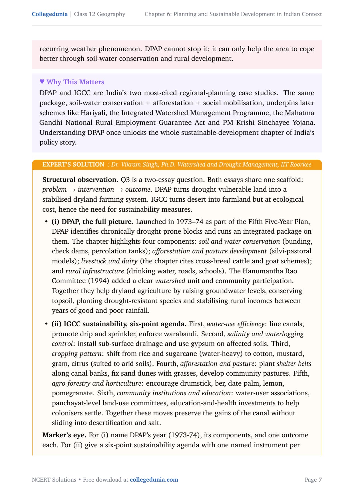
Ans. The NCERT text lists seven measures: (1) strict implementation of water management policy including warabandi; (2) cropping pattern restricted to non-water-intensive crops, encouraging citrus and plantation crops; (3) CAD programmes including canal lining, land levelling and warabandi to reduce conveyance loss; (4) reclamation of areas affected by waterlogging and soil salinity; (5) eco-development through afforestation, shelterbelt plantation and pasture development; (6) providing financial and institutional support to poor land allottees for social sustainability; (7) diversifying the economic base beyond agriculture to establish functional linkages between villages, agro-service centres and market centres for economic sustainability. Measures 1 to 5 target ecological balance; 6 and 7 target social and economic sustainability respectively.
Ques. What is the Drought-Prone Area Programme in Class 12 Geography?
Ans. The Drought-Prone Area Programme (DPAP) was launched during the Fourth Five-Year Plan (1973-74) to provide employment and create productive assets in drought-prone areas. It covers parts of Rajasthan, Gujarat, Maharashtra, Andhra Pradesh, Karnataka, Tamil Nadu and other semi-arid states. The programme components include soil and water conservation (check dams, contour bunding), afforestation, pasture development, livestock and dairy programmes, and rural infrastructure. It helps dryland agriculture by raising groundwater recharge, conserving topsoil, planting drought-resistant trees and stabilising rural incomes through non-farm activities, reducing distress migration during drought years.
Ques. What is the NITI Aayog and how does it differ from the Planning Commission?
Ans. The NITI Aayog (National Institution for Transforming India) was formed on 1 January 2015, replacing the Planning Commission. The Planning Commission had formulated five-year plans and allocated resources in a top-down, centralised manner. NITI Aayog, by contrast, involves the states more actively in economic policy-making and focuses on providing strategic and technical advice to both central and state governments. It functions more as a policy think tank rather than a planning authority with direct allocation powers. The chapter notes this transition as part of India's move from centralised to more decentralised and collaborative planning.
Ques. How does Chapter 6 relate to UPSC and CUET preparation?
Ans. Chapter 6 is directly relevant to UPSC Geography optional and CUET Geography. The Brundtland definition of sustainable development, the ITDP case study, regional planning concepts and the IGCC command area problems all appear in UPSC Mains Geography papers. CUET Geography tests the same topics through MCQs on programme names, definitions and case-study facts. For UPSC, students should also link the chapter's concepts to the SDGs (Sustainable Development Goals) and India's environmental policy frameworks, which go beyond the NCERT text but build naturally on it. The planning and sustainable development class 12 ncert solutions PDF provides the foundation for both board and entrance-level preparation.
Ques. Is the Class 12 Geography syllabus changing for 2026-27?
Ans. No major reductions for Chapter 6 in 2026-27. The chapter structure of the India: People and Economy textbook is unchanged for the current cycle, and the CBSE marking scheme continues to reward structured, point-wise answers for long-answer questions. Our planning and sustainable development class 12 ncert solutions for the 2026-27 cycle are aligned to the unchanged textbook and the latest CBSE sample paper released for the 2026 boards. The key topics, regional planning, ITDP, IGCC, Brundtland definition and the seven sustainability measures, are all preserved as-is for 2026-27.



Comments