



The NCERT Class 6 Social Science Chapter 1 notes for Locating Places on the Earth explain maps, scale, direction, symbols, globe, latitude, longitude, local time, Indian Standard Time and the International Date Line. These notes follow the 2026-27 NCERT textbook and include a free PDF for quick revision.
- Best for revision: map components, coordinates, latitude-longitude and time zones.
- Use with the PDF: revise the tables first, then practise scale and time questions.
- 2026-27 focus: follows Exploring Society: India and Beyond, Chapter 1.
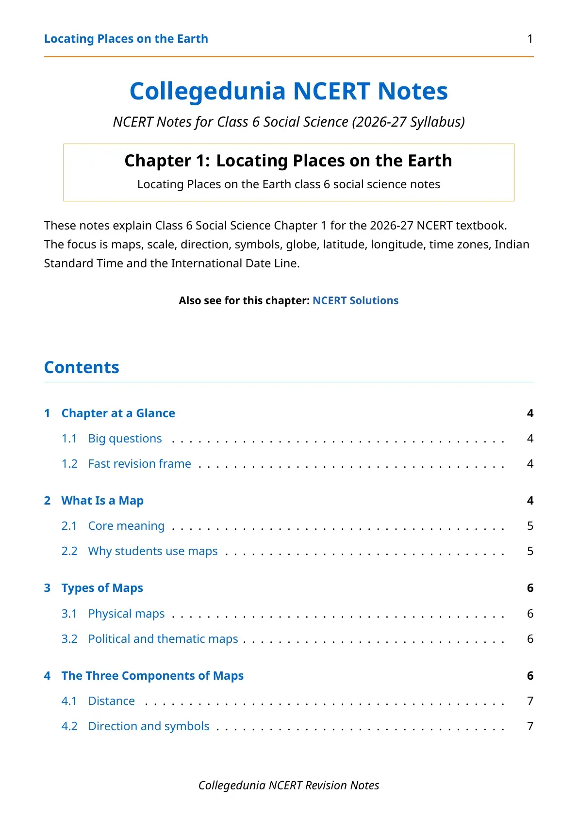
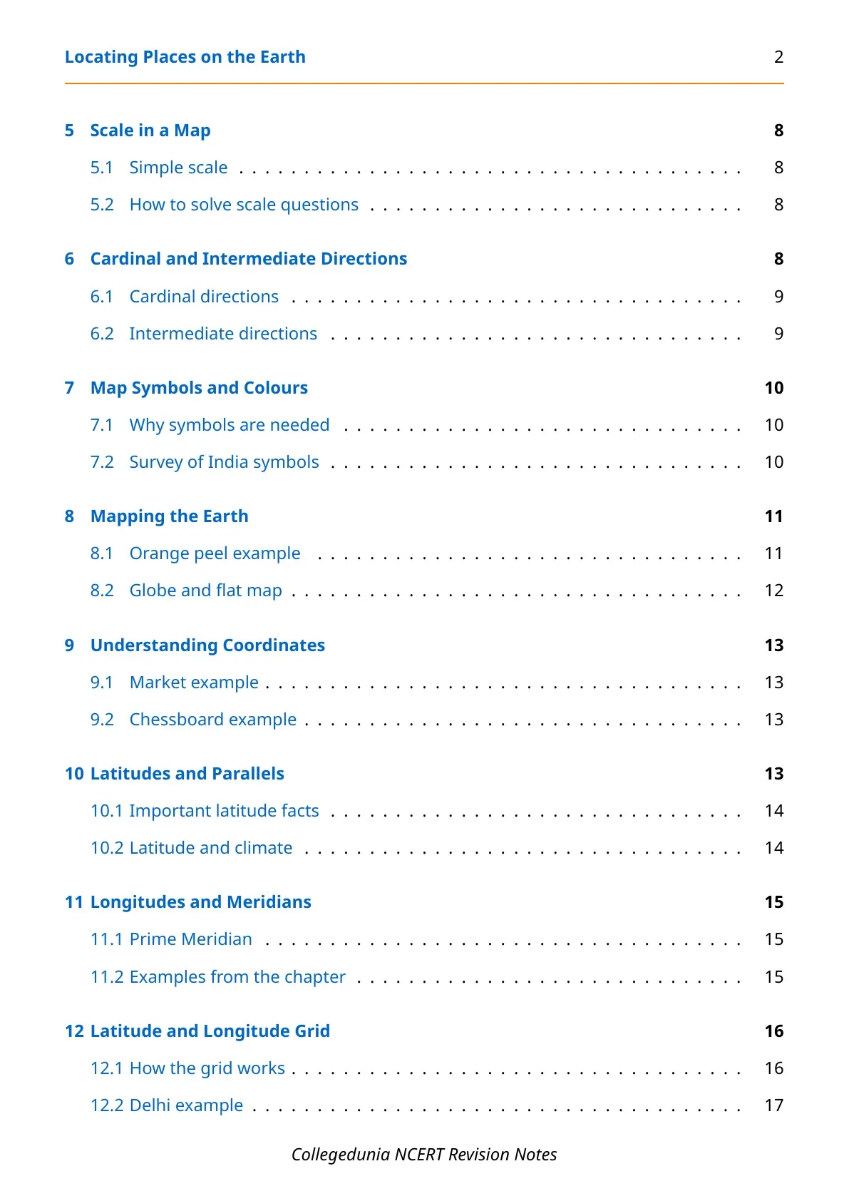
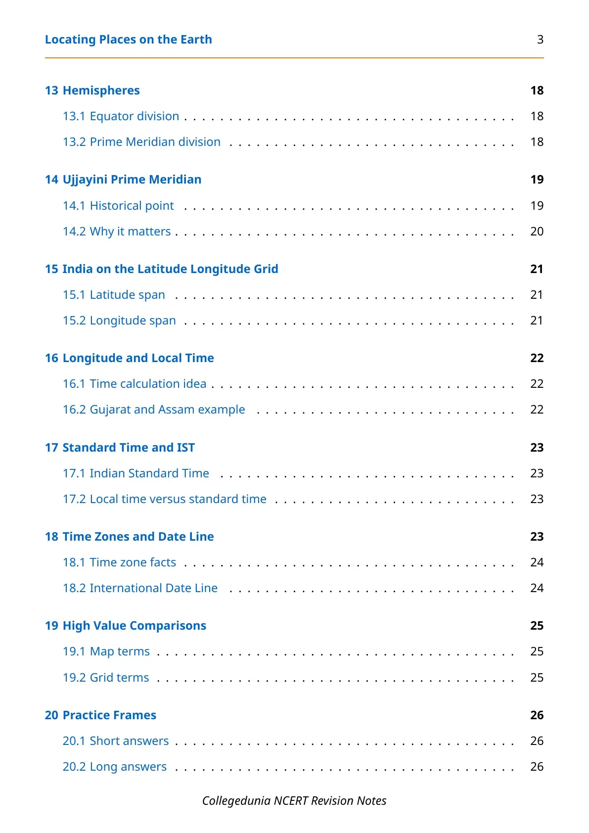
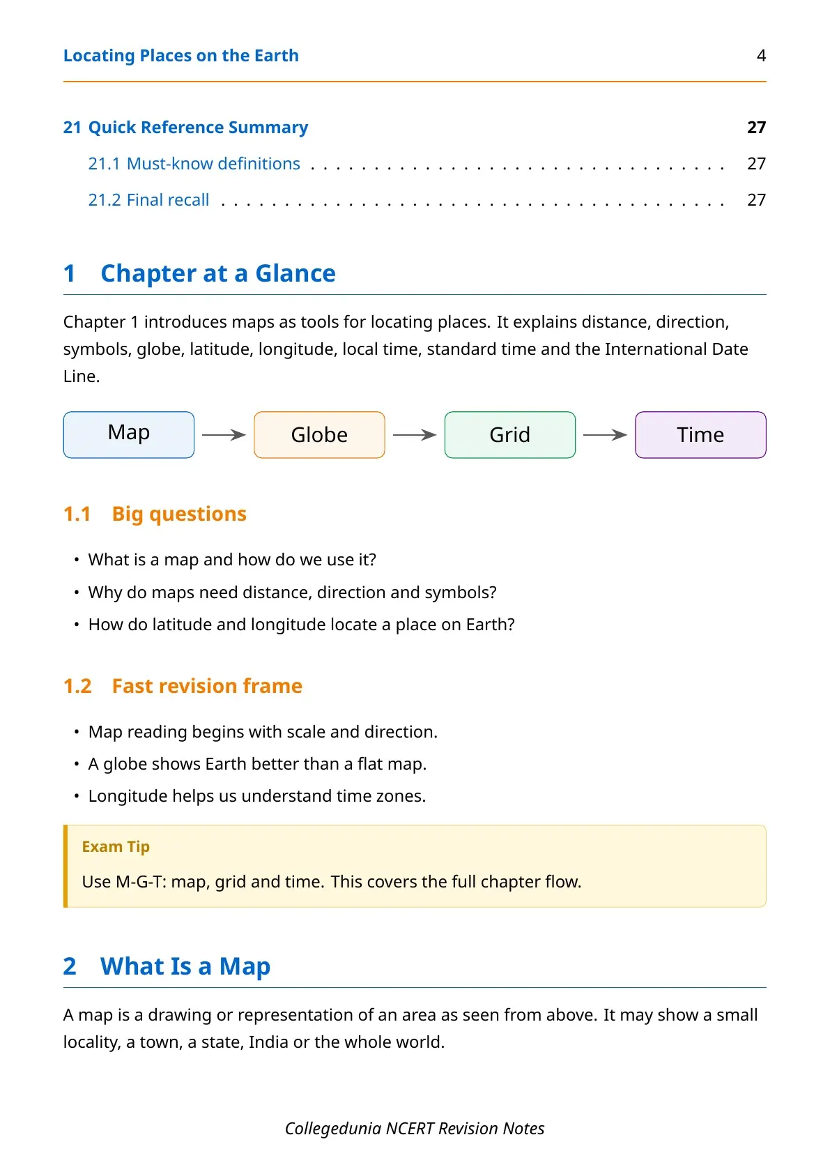

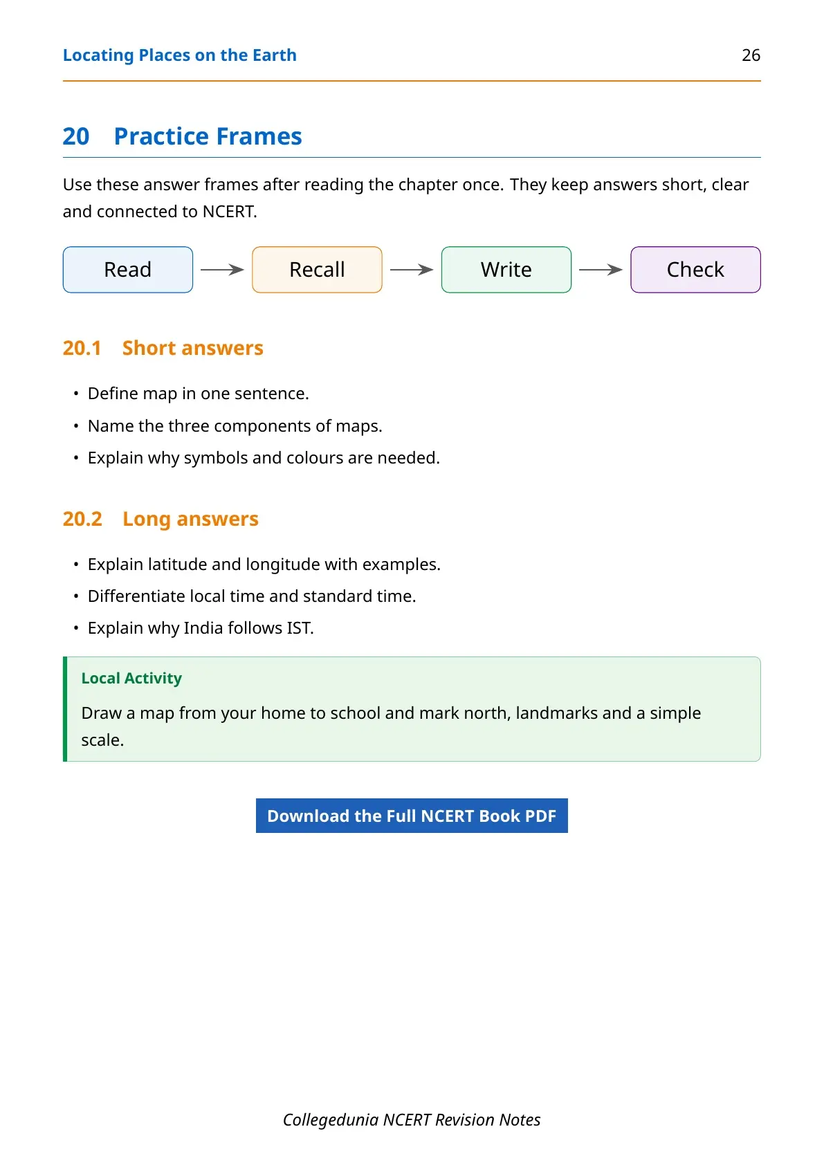
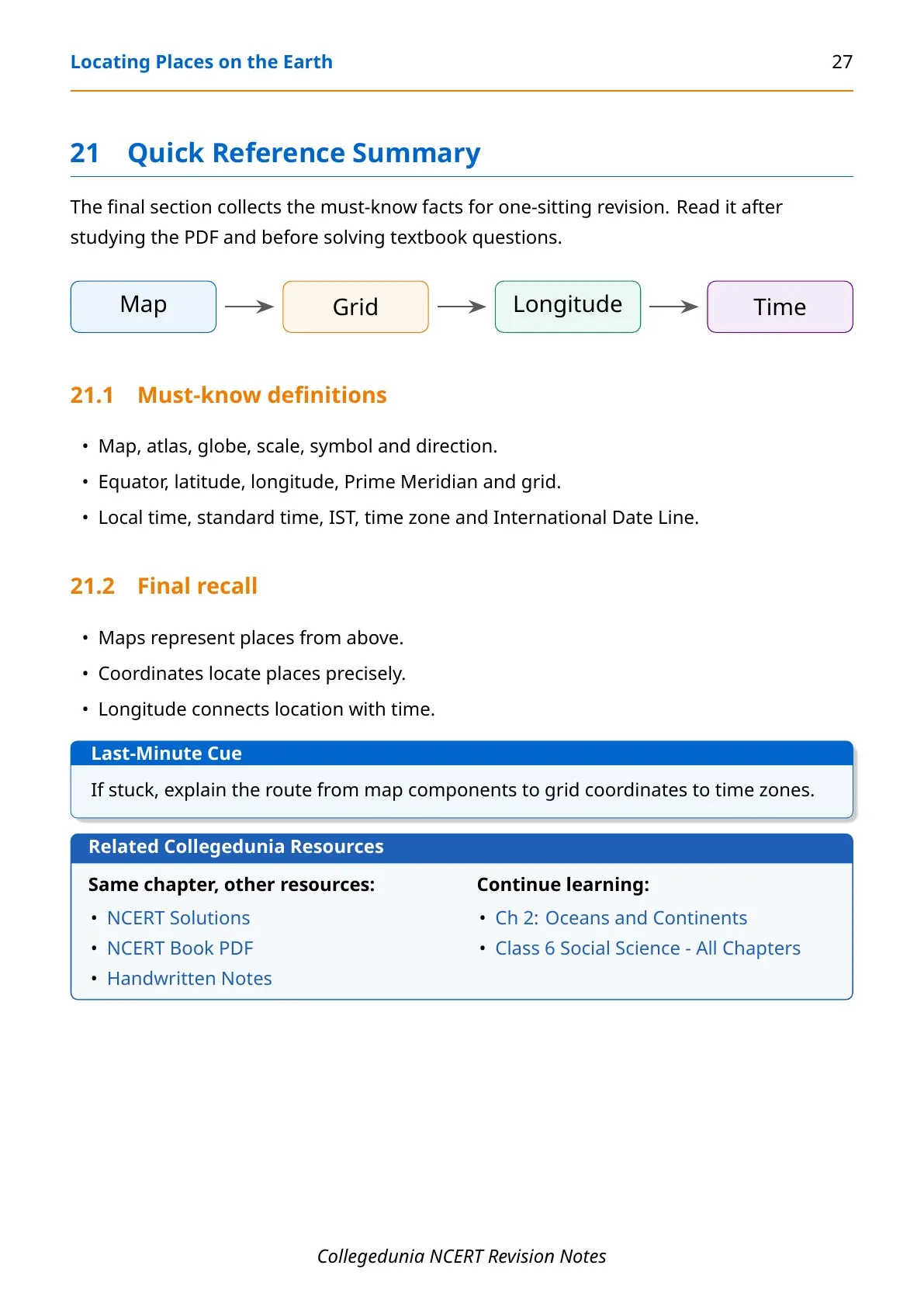
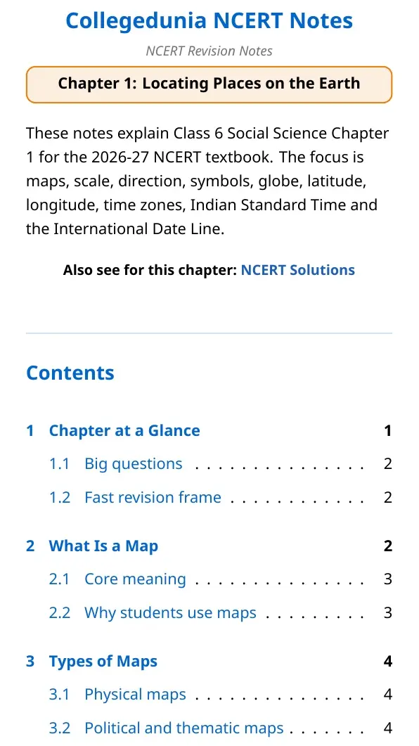
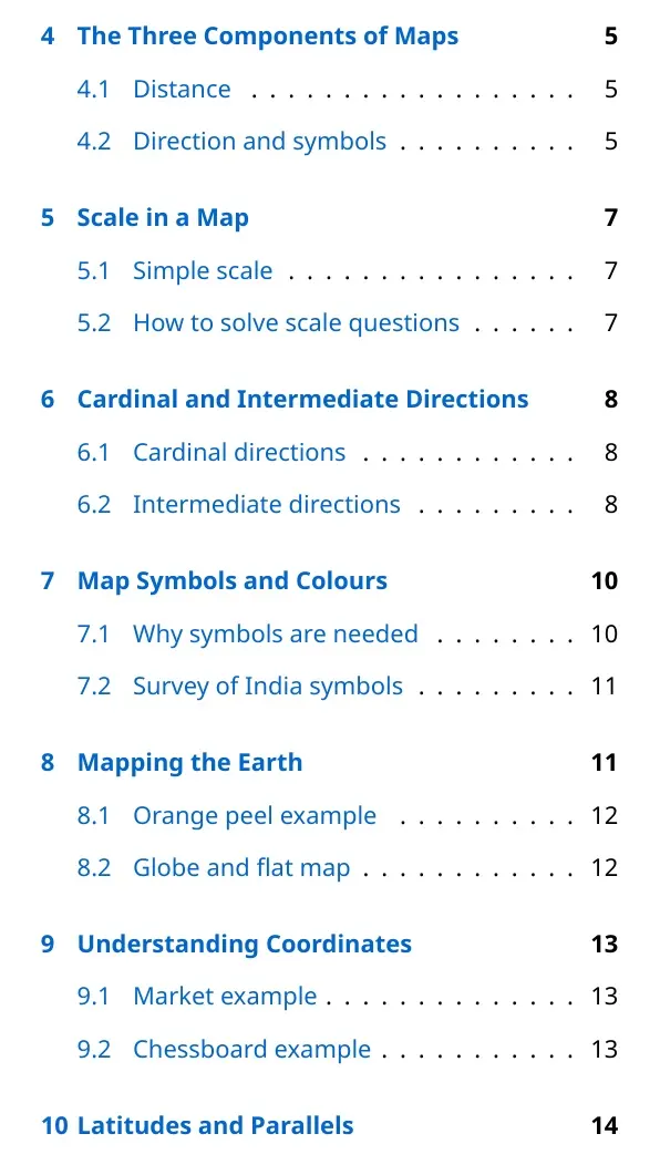

Student Feedback: Students usually understand this chapter faster after linking maps, grid lines and time zones as one location system.
Locating Places on the Earth Notes Overview
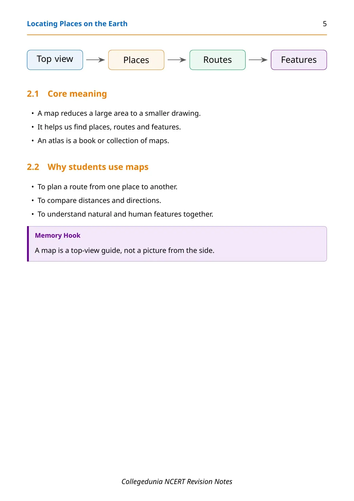
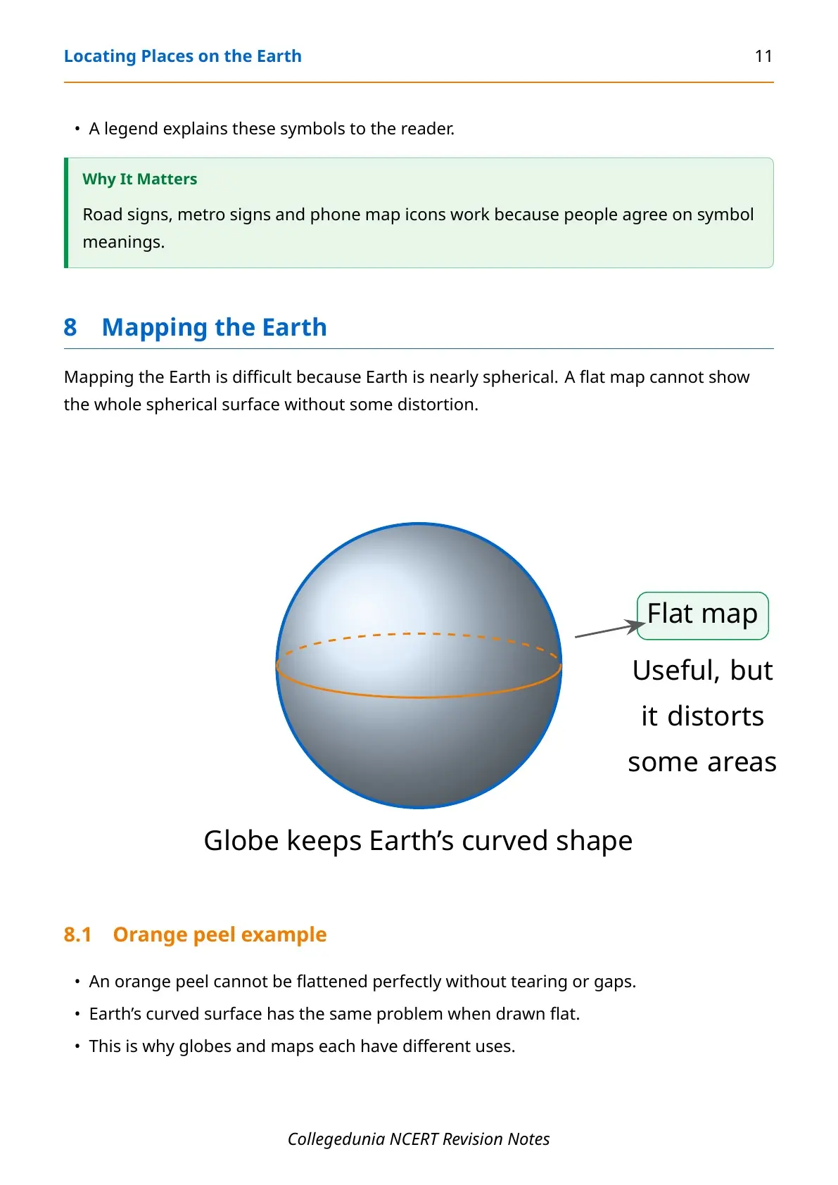
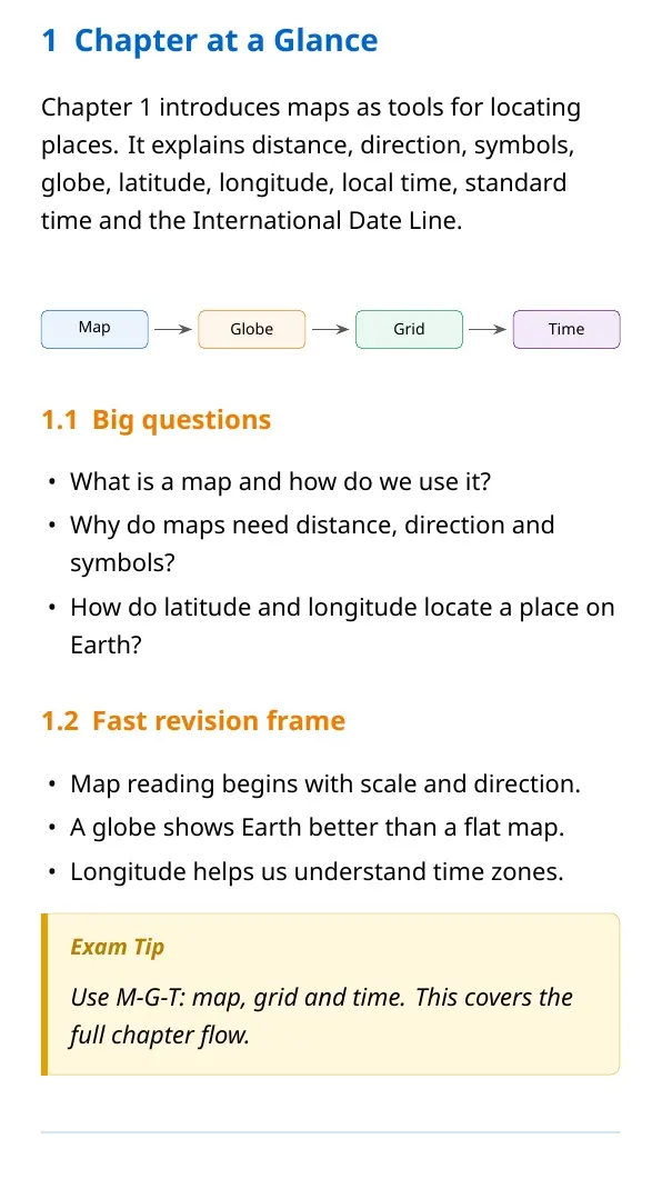
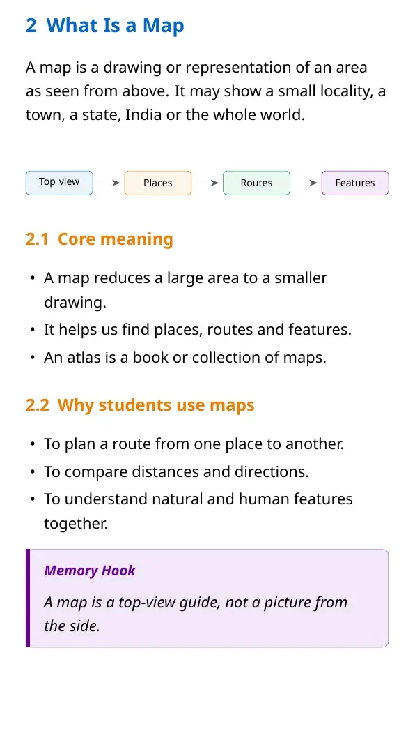
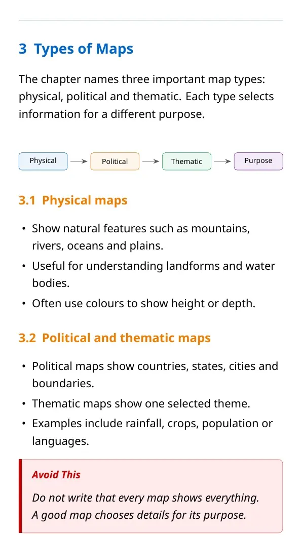
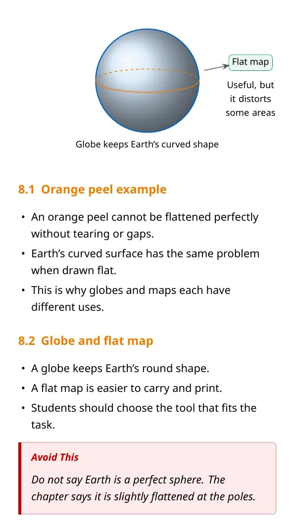
Chapter 1 explains how humans locate places using maps and globes. A map shows an area from above, while a globe keeps Earth's spherical shape. The chapter moves from simple map reading to latitude, longitude, local time and standard time.
| Revision area | Key idea | Example cue |
|---|---|---|
| Map | Representation of an area from above | City map, India map or world map |
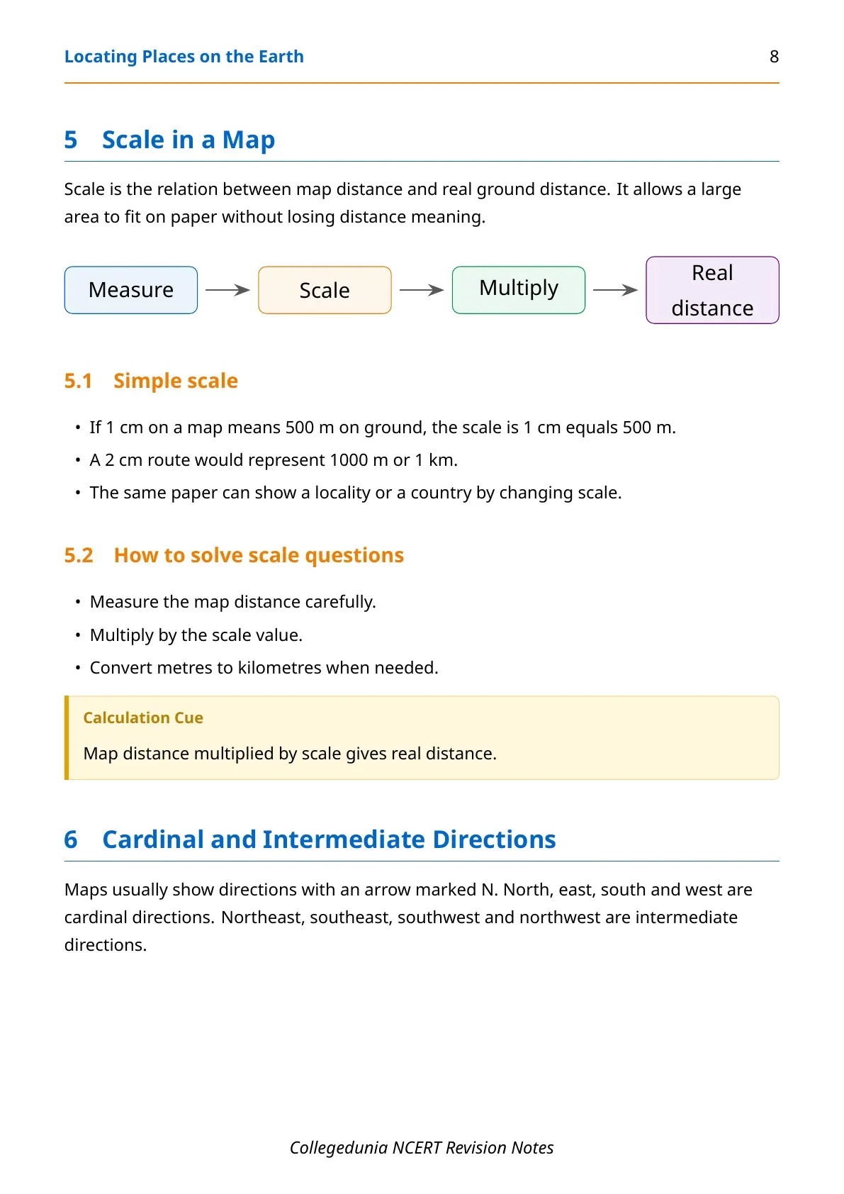
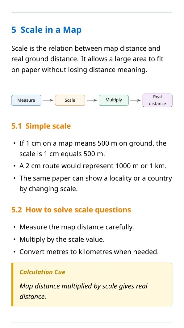
| Scale | Relation between map distance and ground distance | 1 cm equals 500 m |
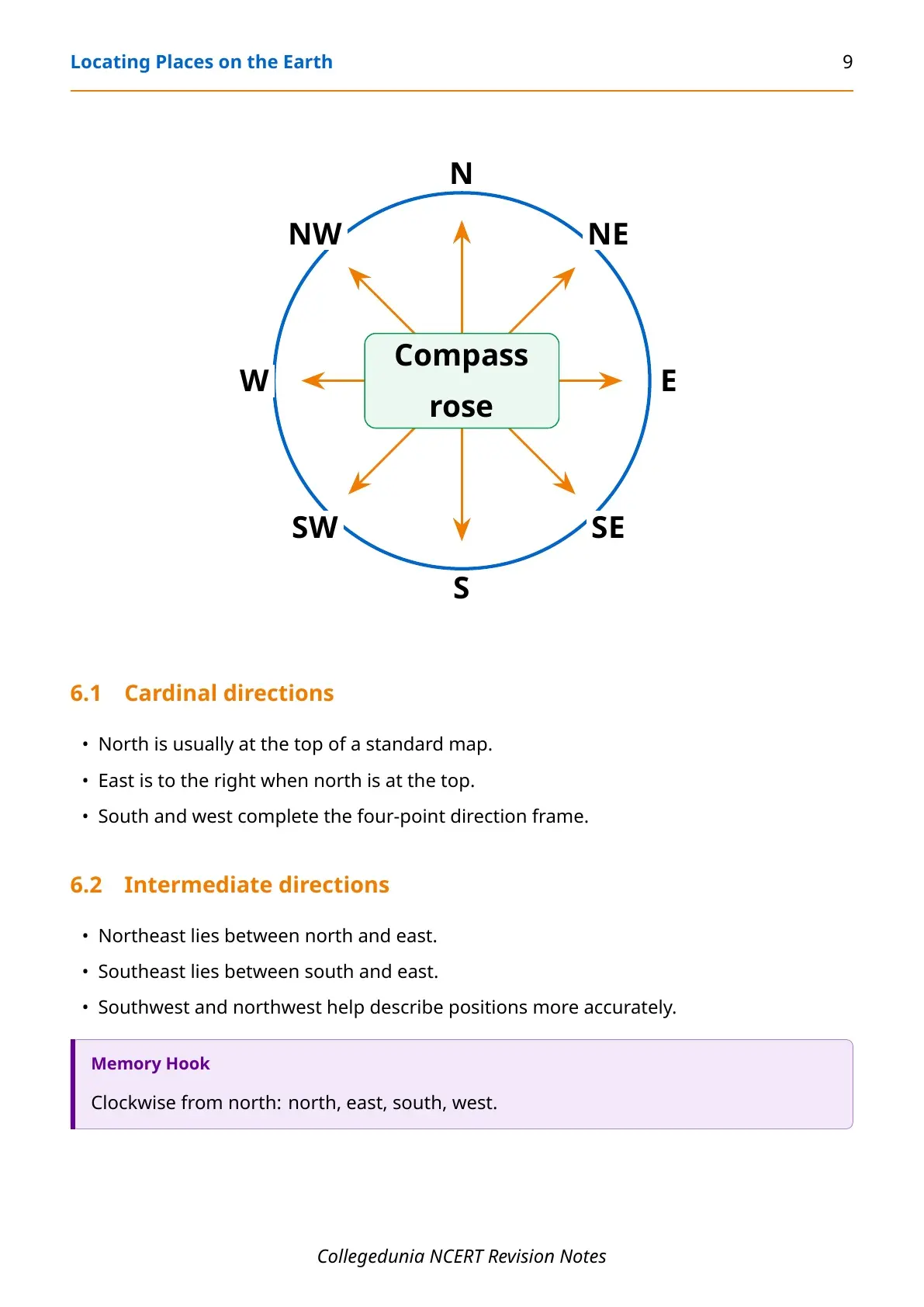
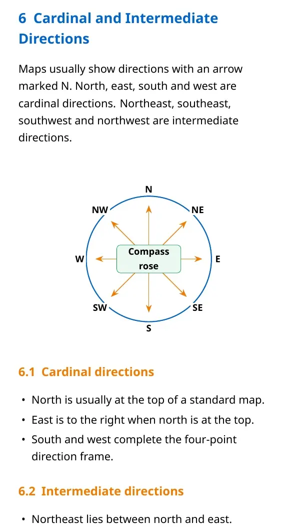
| Direction | Position of one place from another | North, east, south and west |
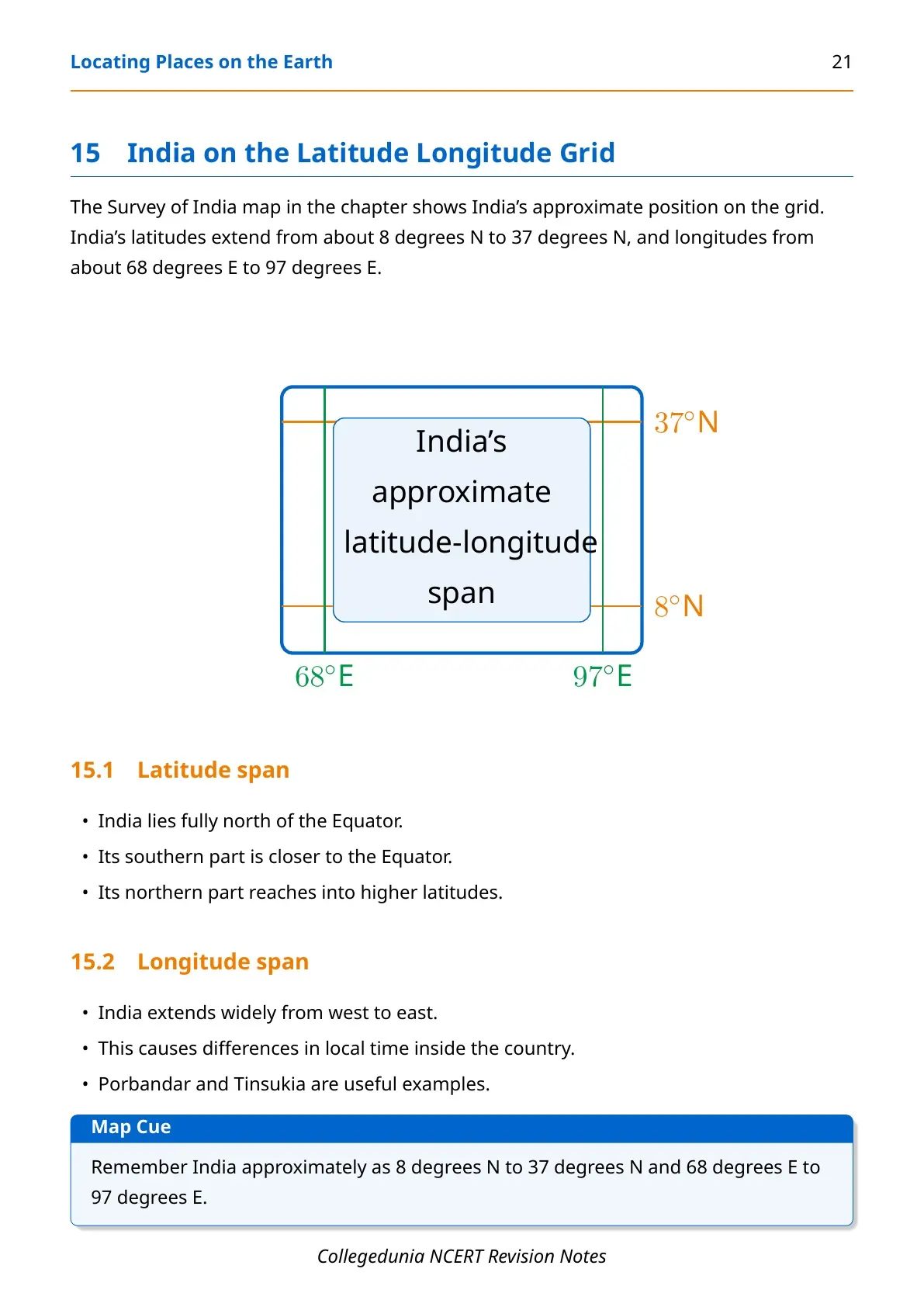
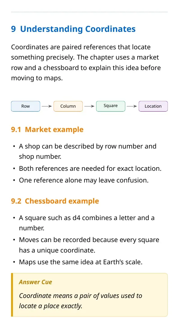
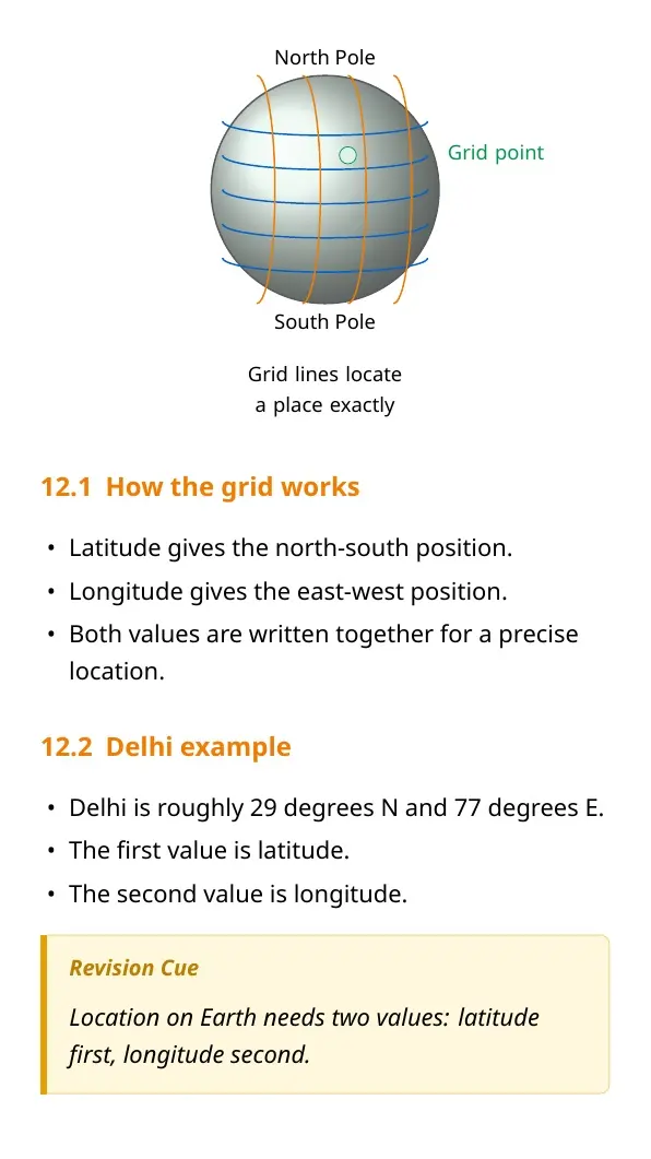
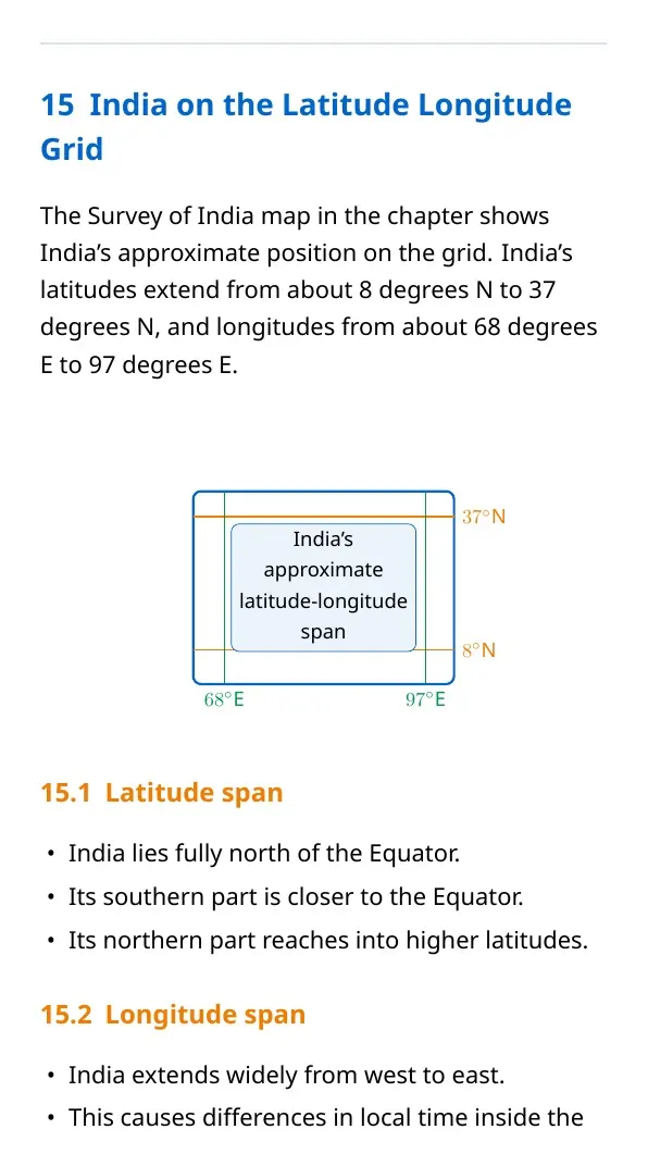
| Coordinates | Pair of values for exact location | 29 degrees N, 77 degrees E |
| Time zones | Standard time areas linked to longitude | IST is GMT plus 5:30 |
Map Components: Scale, Direction and Symbols
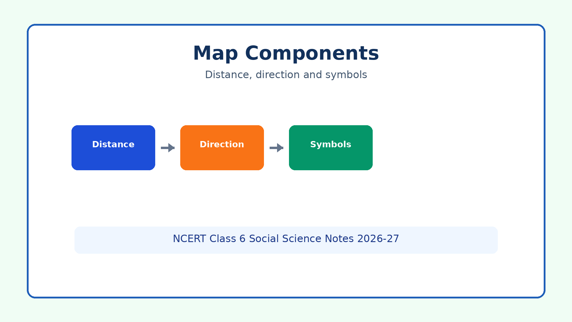
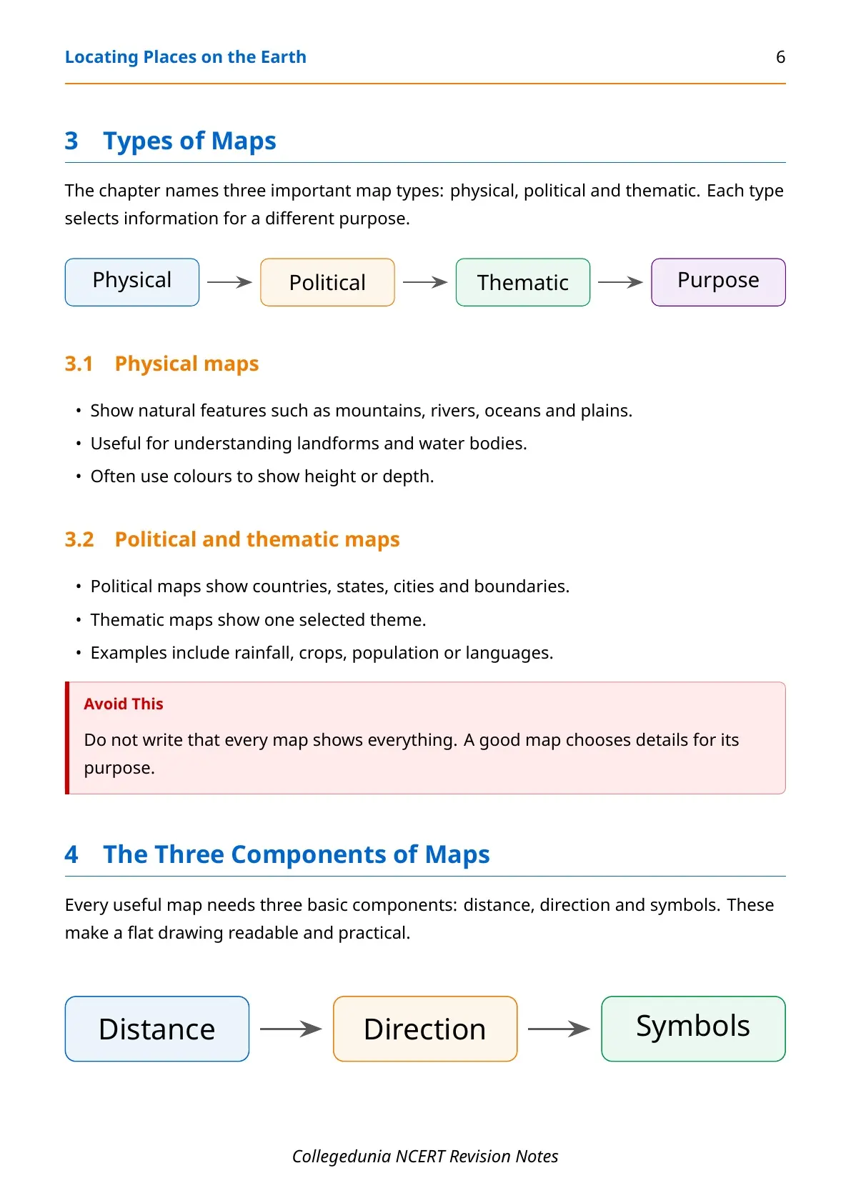
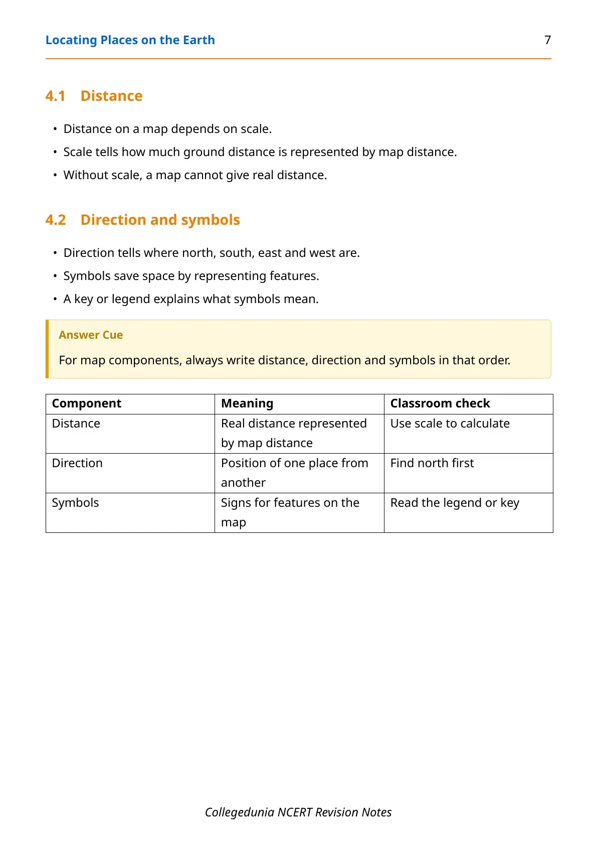
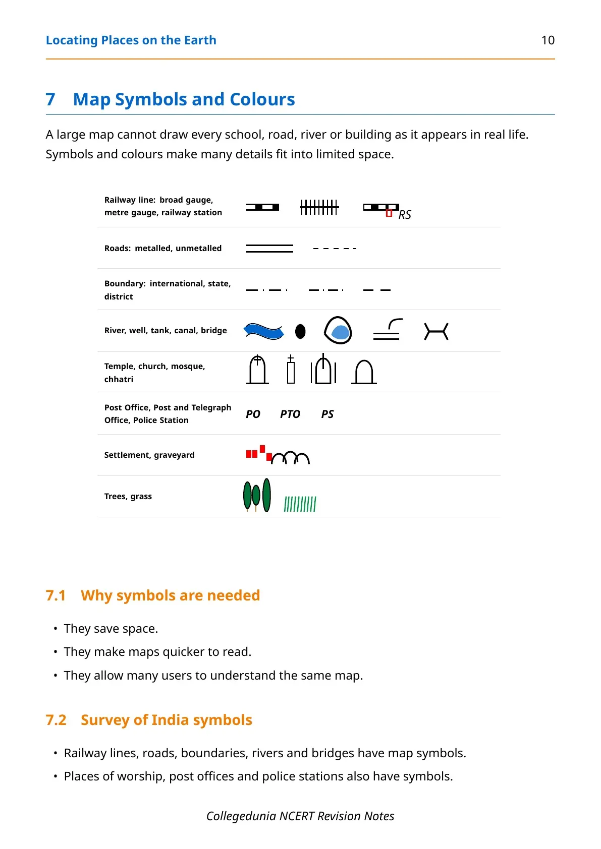
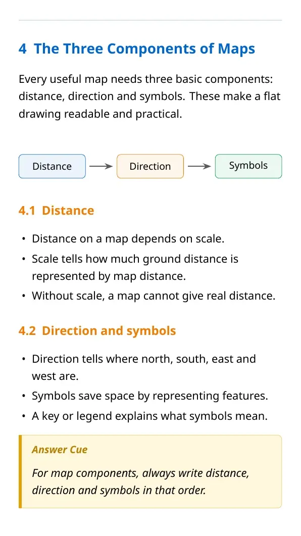
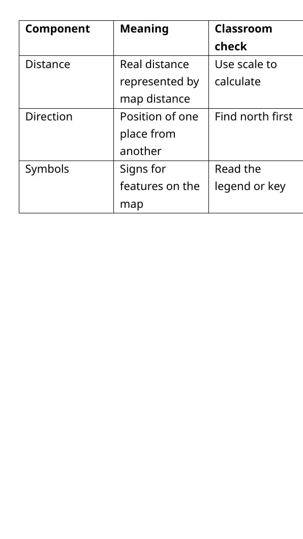
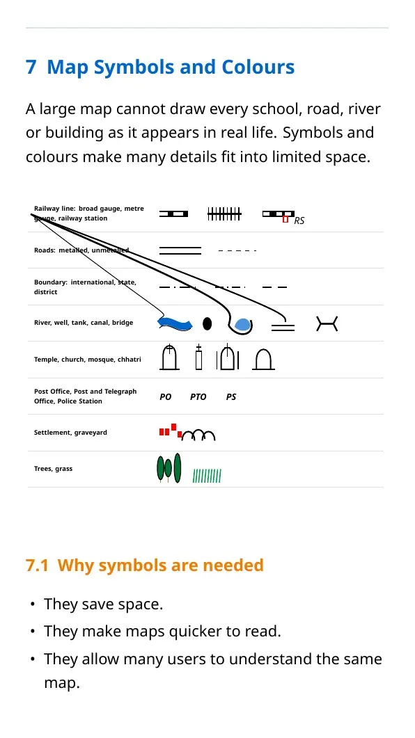
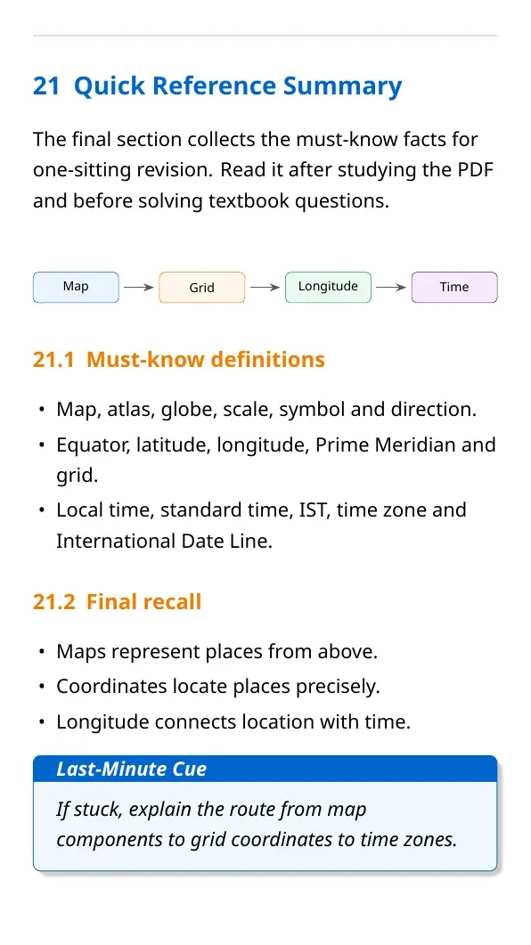
Maps are useful because they turn real places into readable drawings. Scale converts map distance into ground distance, direction tells where places lie, and symbols represent features such as roads, rivers, railway stations and post offices.
- Scale: use it to calculate real distance from map distance.
- Direction: first locate north, then identify other directions.
- Symbols: read the legend to understand map signs.
- Atlas: remember that an atlas is a book or collection of maps.
Locating Places on the Earth Chapter 1 Revision Video
Source: Magnet Brains on YouTube
Latitude, Longitude and Time Zones
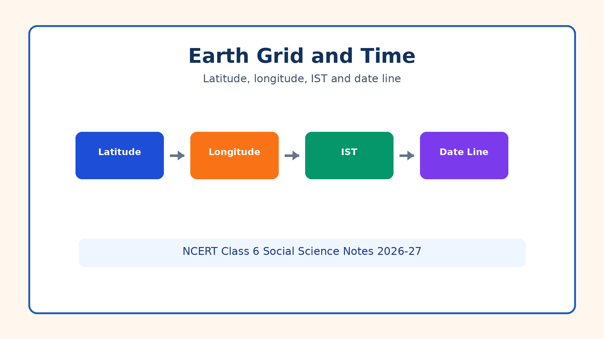
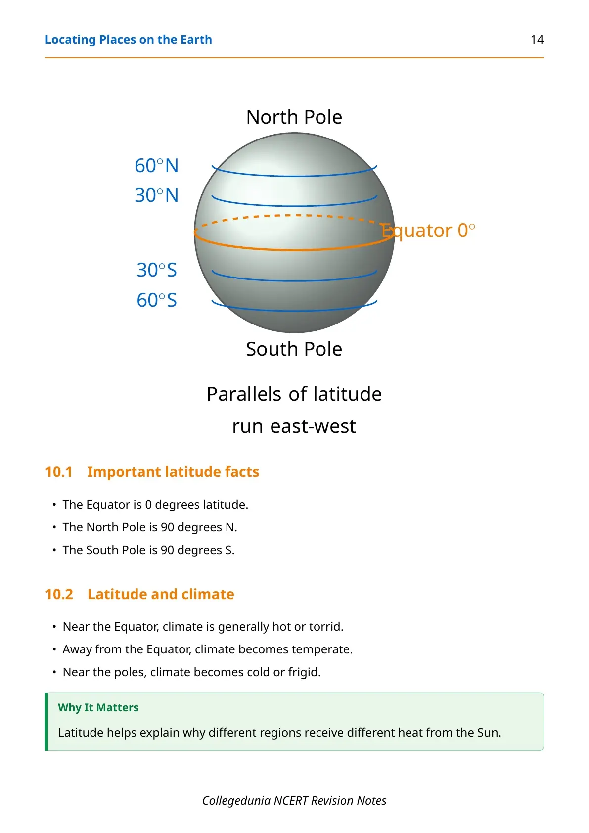
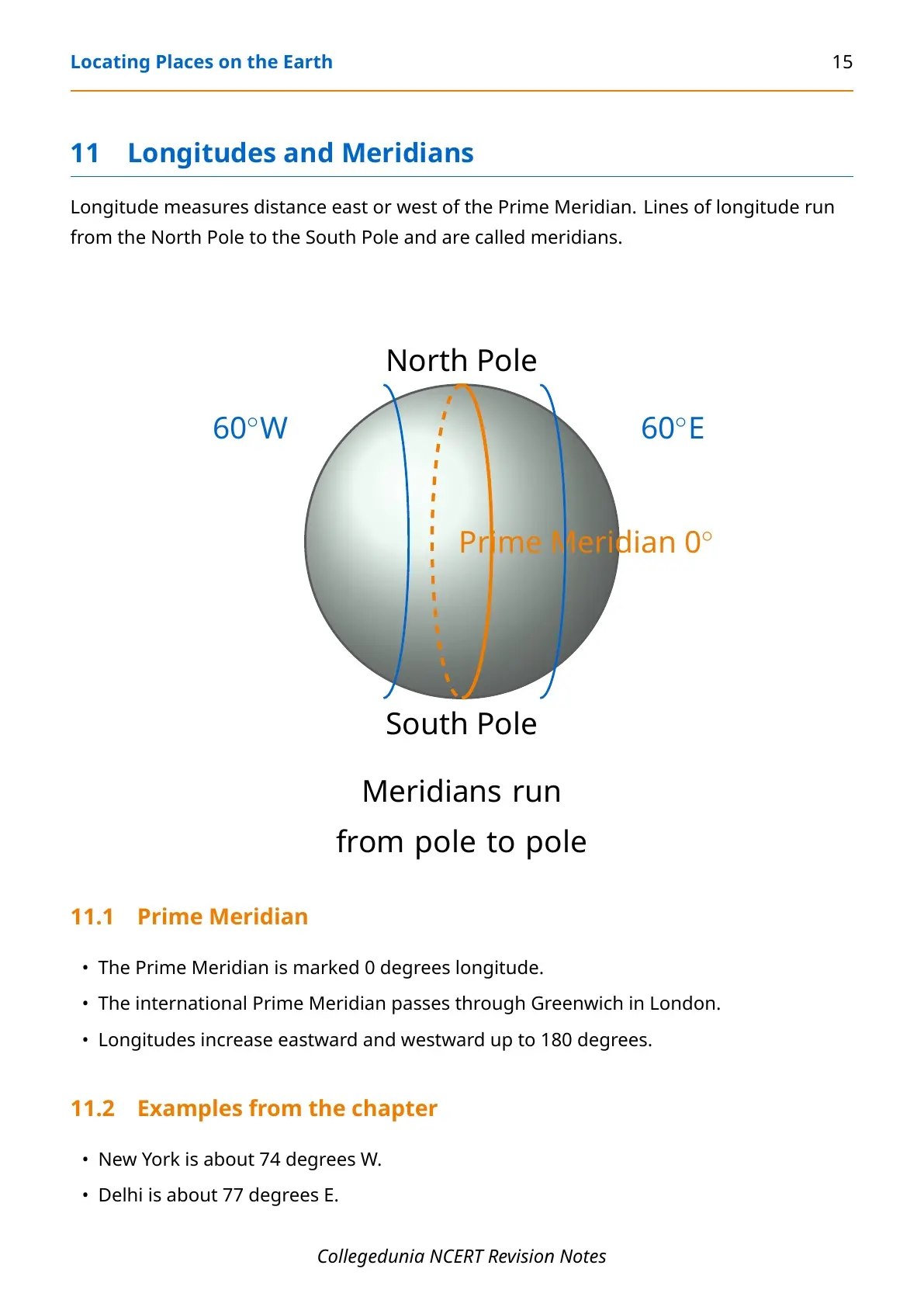
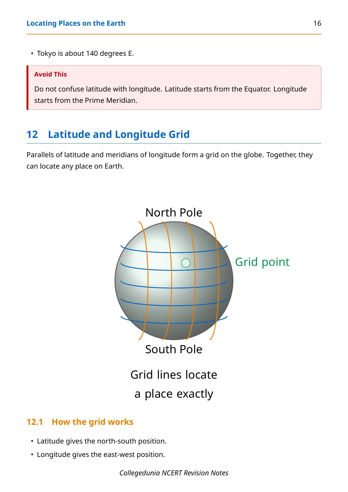
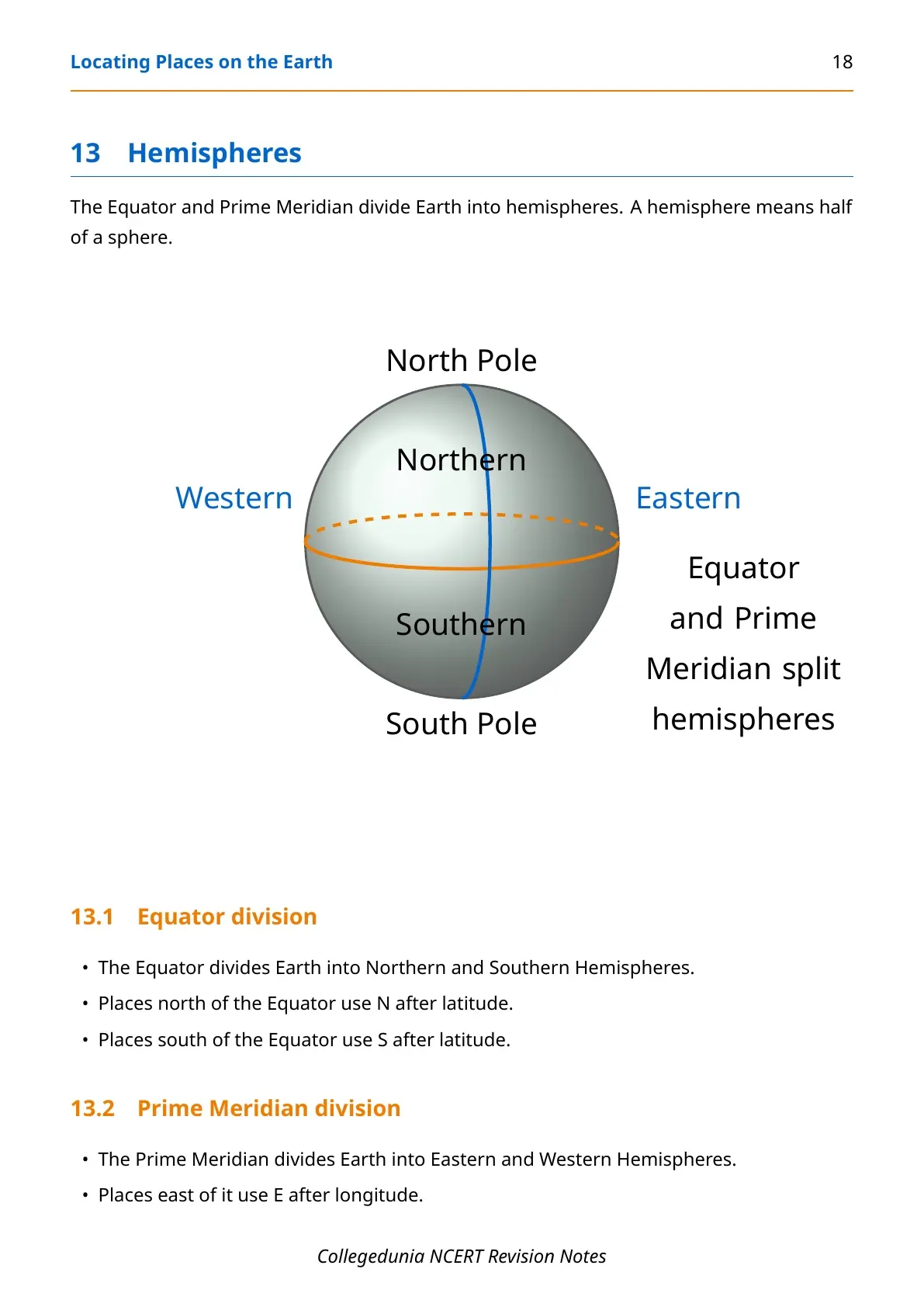
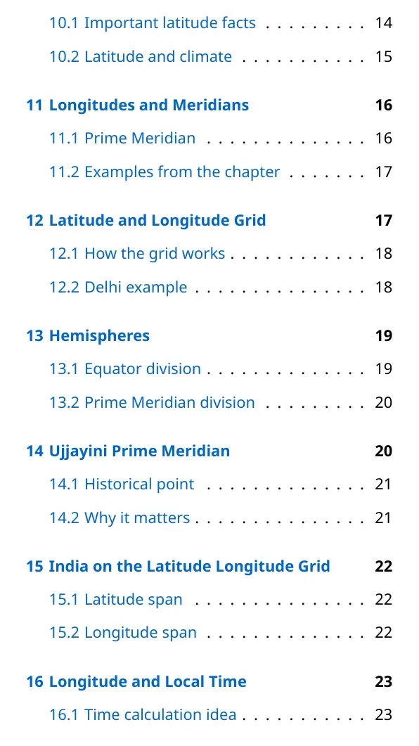
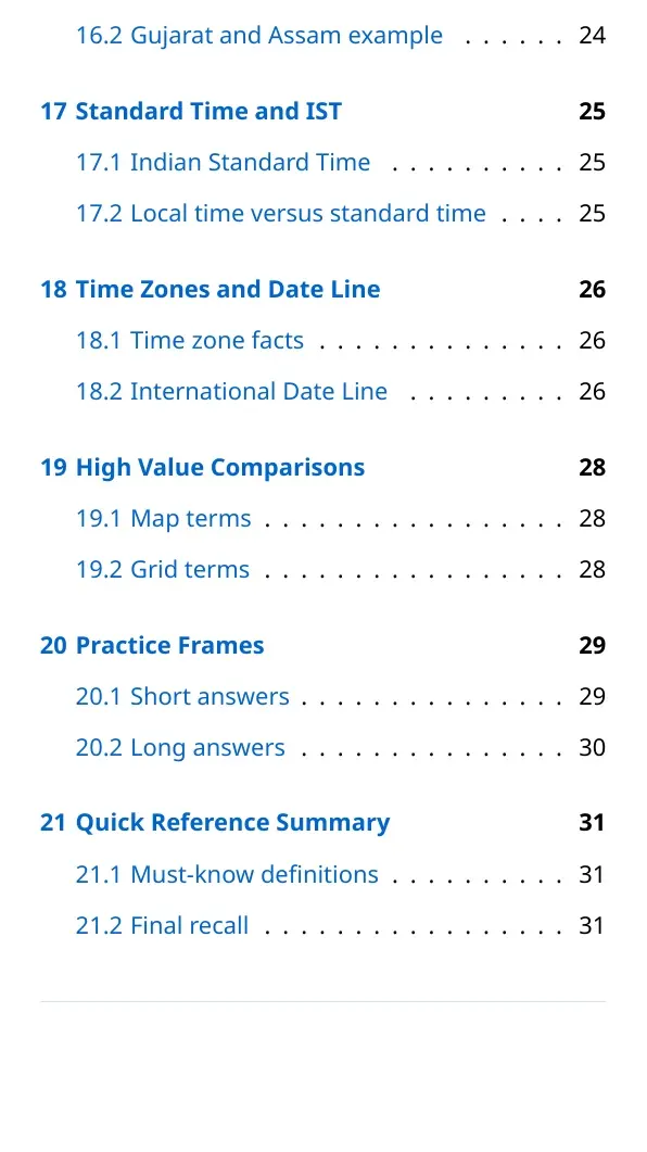
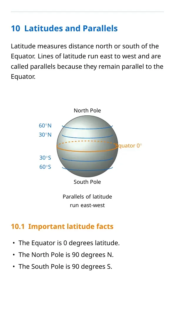
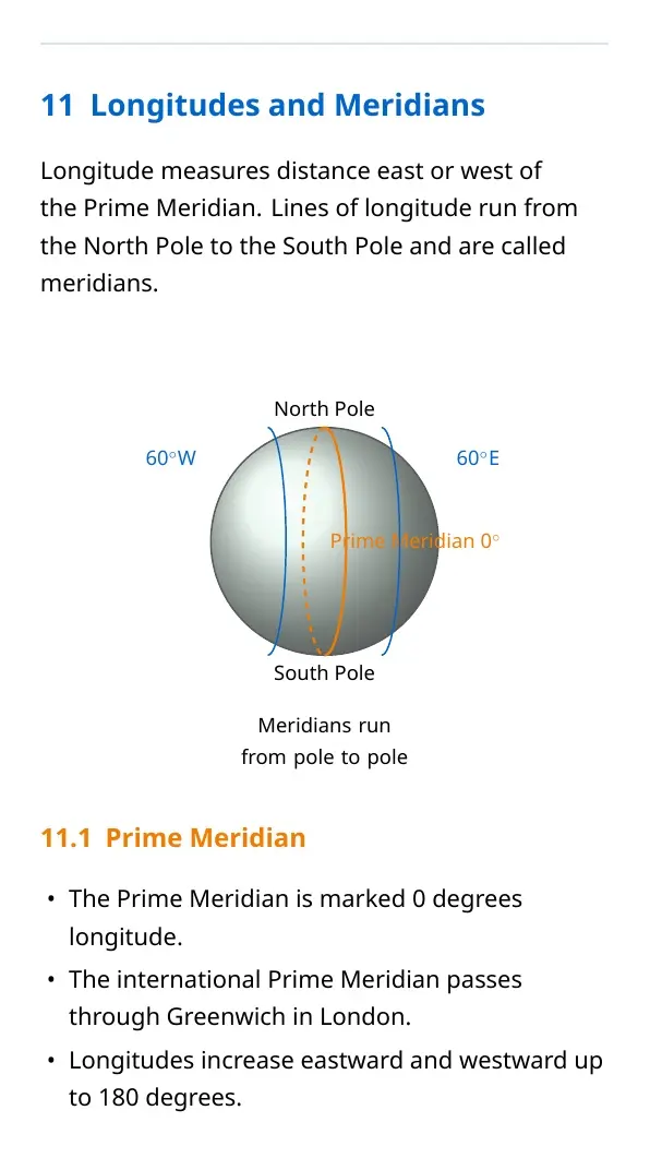
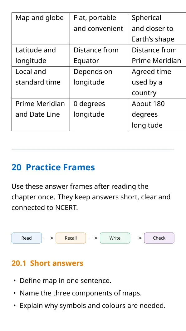
Latitude and longitude form a grid on the globe. Latitude measures distance north or south of the Equator. Longitude measures distance east or west of the Prime Meridian. Together, they locate a place precisely.
| Term | Starts from | Direction measured |
|---|---|---|
| Latitude | Equator | North or south |
| Longitude | Prime Meridian | East or west |
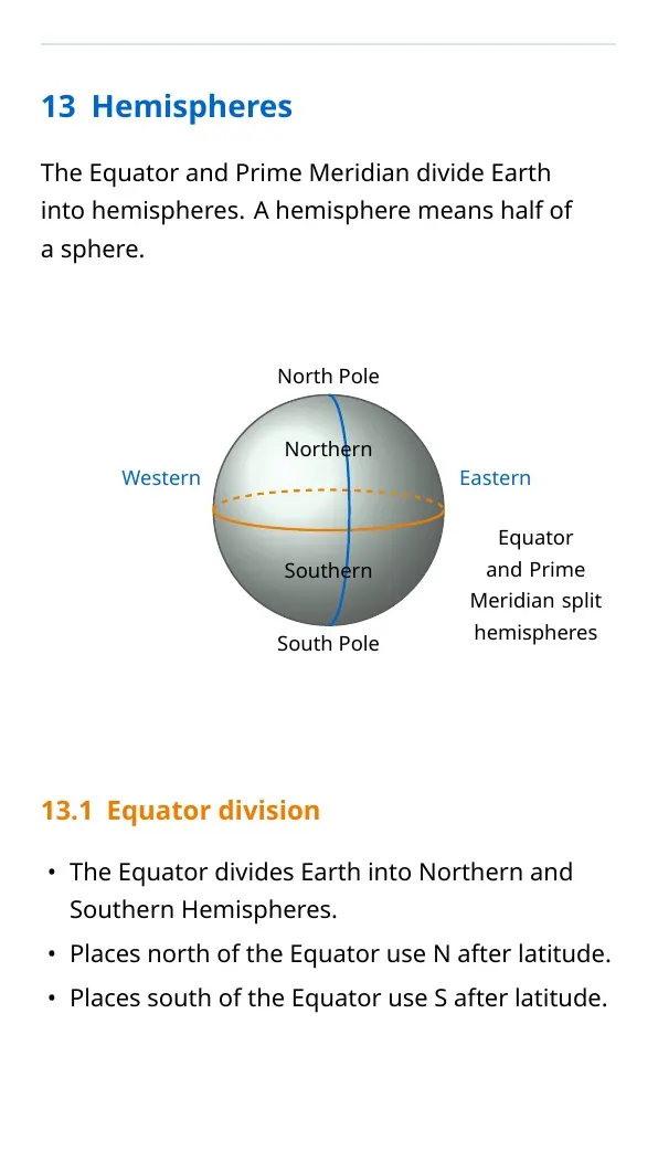
| Equator | 0 degrees latitude | Divides Northern and Southern Hemispheres |
| Prime Meridian | 0 degrees longitude | Divides Eastern and Western Hemispheres |
Local Time, IST and International Date Line
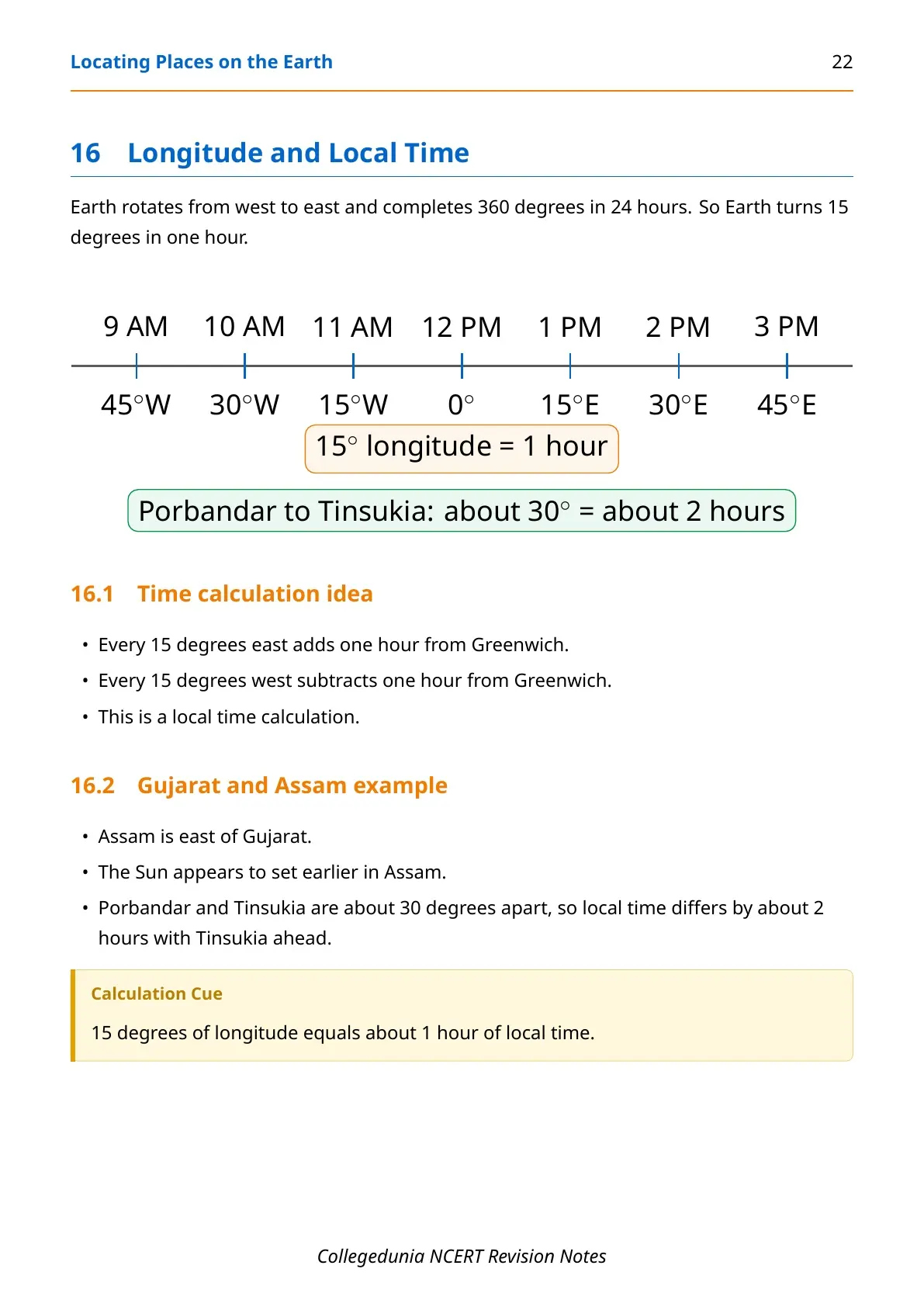
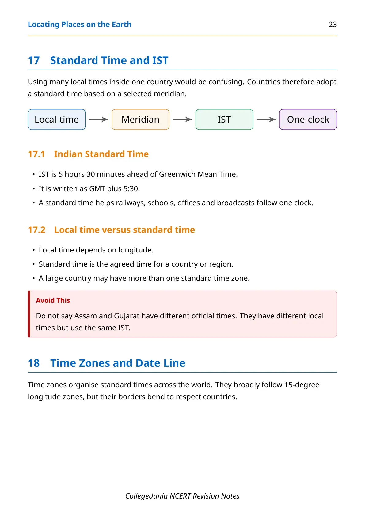
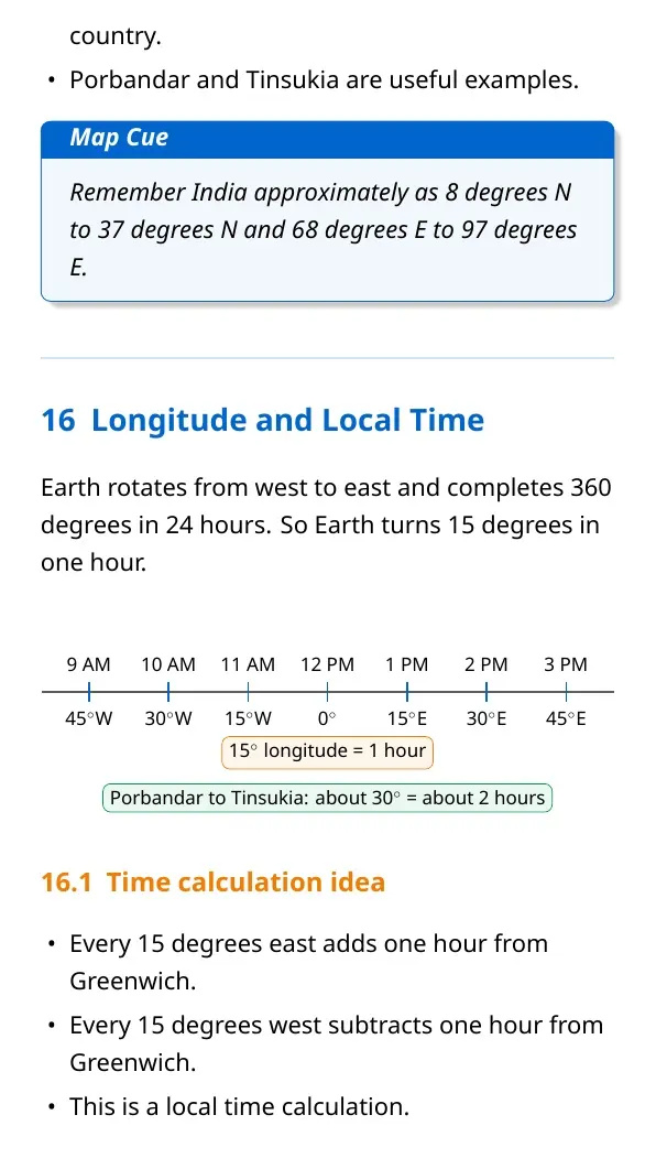
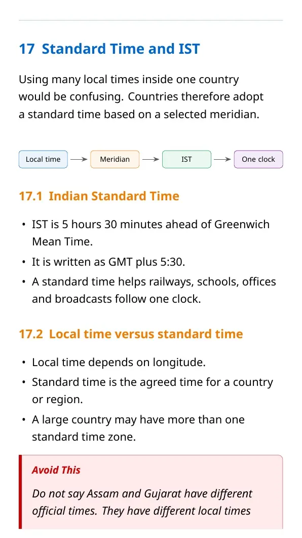
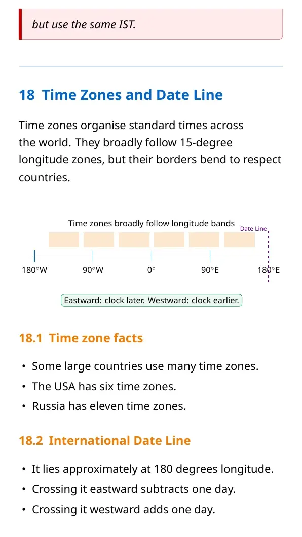
Earth rotates 360 degrees in 24 hours, so 15 degrees of longitude makes about one hour of local time difference. India follows one standard time, IST, which is 5 hours 30 minutes ahead of GMT.
- Local time: based on the longitude of a place.
- Standard time: agreed official time for a country or region.
- IST: used across India for schools, trains, offices and broadcasts.
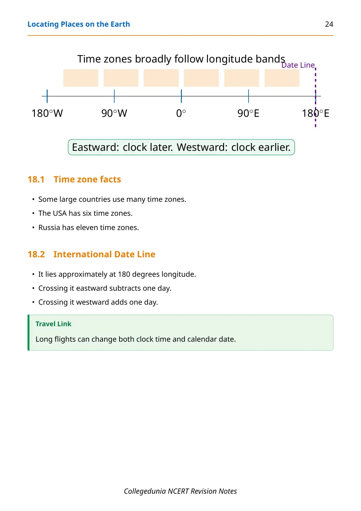
- International Date Line: near 180 degrees longitude and changes the date by one day when crossed.
Locating Places on the Earth Related Resources
| Resource | Best use | Link |
|---|---|---|
| NCERT Notes | Topic-wise revision with tables | Current page |
| NCERT Solutions | Practice textbook questions | Open NCERT Solutions |
| NCERT Book PDF | Read the official chapter | Open Book PDF |
| Handwritten Notes | Quick one-sitting revision | Open Handwritten Notes |
Social Science Notes for All Chapters
| Chapter | NCERT chapter title | Notes link |
|---|---|---|
| Chapter 1 | Locating Places on the Earth | Current notes |
| Chapter 2 | Oceans and Continents | Open Notes |
| Chapter 3 | Landforms and Life | Open Notes |
| Chapter 4 | Timeline and Sources of History | Open Notes |
| Chapter 5 | India, That Is Bharat | Open Notes |
| Chapter 6 | The Beginnings of Indian Civilisation | Open Notes |
| Chapter 7 | India's Cultural Roots | Open Notes |
| Chapter 8 | Unity in Diversity, or Many in the One | Open Notes |
| Chapter 9 | Family and Community | Open Notes |
| Chapter 10 | Grassroots Democracy Part 1 Governance | Open Notes |
| Chapter 11 | Grassroots Democracy Part 2 Local Government in Rural Areas | Open Notes |
| Chapter 12 | Grassroots Democracy Part 3 Local Government in Urban Areas | Open Notes |
| Chapter 13 | The Value of Work | Open Notes |
| Chapter 14 | Economic Activities Around Us | Open Notes |
Locating Places on the Earth Class 6 Notes FAQs
Ques. What is Class 6 Social Science Chapter 1 about?
Ans. It explains maps, map components, globe, latitude, longitude, local time, IST, time zones and the International Date Line.
Ques. What are the three main components of maps?
Ans. The three main components are distance, direction and symbols. Scale helps calculate distance, while symbols show map features.
Ques. What is the difference between latitude and longitude?
Ans. Latitude measures distance north or south of the Equator. Longitude measures distance east or west of the Prime Meridian.
Ques. Why does India follow Indian Standard Time?
Ans. India follows IST so the country can use one official time for trains, schools, offices, broadcasts and daily coordination.



Comments